11 minute read
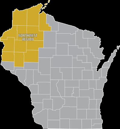
NORTHWEST REGION


Weekend of Wheel Fun Awaits Riders
Fresh out of hibernation are three bicycling events scheduled to roll the first weekend in May in far northwestern Wisconsin. The first race is that Saturday with two more hot on its heels. The Hungry Bear 100 will take place Saturday, May 1, on the forest roads of Bayfield County and the Chequamegon National Forest. The Advocate Cycling Production gravel race will send gear grinders on a grand loop of Lake Namekagon. The start line will be at River’s Eatery, 43455 Kavanaugh Rd., Cable. The Bear’s 100-mile route will start and finish in Cable. The 60mile will start later on the course and finish with the 100-mile in Cable. The course will be navigated by cue sheet; so all riders should have some method of distance measuring on their bike. There will be no course announcements or previews; riders will receive their cue sheets no more than 24 hours before race start. The sponsors remind all that it is a “self-supported” race. In other words, you are responsible for you—including the 0.0005% chance you might encounter a bear. (They will, however, check the course during and after the race.) Two other races are planned for Sunday, May 2, over in St. Croix Falls. The Mammoth Gravel Classic Bike Event offers three options: 35-, 70- and 100-mile rides. Registration opens at 7 a.m. The 100-mile riders will leave 8 a.m., 70-mile riders will leave 9 a.m., and 35-mile riders will leave at 9:10 a.m. The Woolly Mountain Bike Race will also be May 2, with registration at 8 a.m. at the St. Croix Falls High School, 740 Maple Drive. For more information, call 715-483-1410 or visit woollybikeclub.com.


Enjoy the Lake Views in Chetek from Your Bicycle
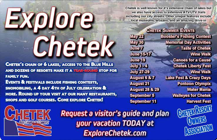
CHETEK – The resort community of Chetek sits on the shore of the “Big Six” Chain of Lakes. There’s plenty of room for anglers and water-skiers, as the six lakes comprise 3,800 acres of surface water with 68 miles of shoreline. But you don’t have to be on the lake to enjoy it. Many of the roads that wind around the lakes are slow traveled with low traffic counts, making them excellent bike routes for families. Many views of the lakes unfold as you bike the scenic roadways. All total, 31.6 miles of marked bike routes are available in the immediate Chetek area: along the west and east sides of Prairie Lake, along the west side of Pokegama Lake and through the city of Chetek and around the Island of Chetek. All the routes are marked with bike symbols and arrows painted on the road. A map of the routes is available at the local tourist center. You don’t have to bike the nearly 32 miles if you are looking for a shorter route, of which there are three. One route is broken down even further into shorter sections—perfect with families with small children. The city itself has 2,400 year-round residents with many other seasonal folks residing in lakeside cabins and homes. Visitors can choose from a number of lodging offerings from the 38 resorts, campgrounds, and motels that are members of the Chetek Resort Owners’ Association. Because this is a premier resort area, you won’t go hungry or thirsty! Numerous restaurants and pubs offer a wide variety of food and drinks from grab-n-go to fine dining with cocktails afterwards.



Reel in Some Fun and a Fish Fry at Governor’s Fishing Opener
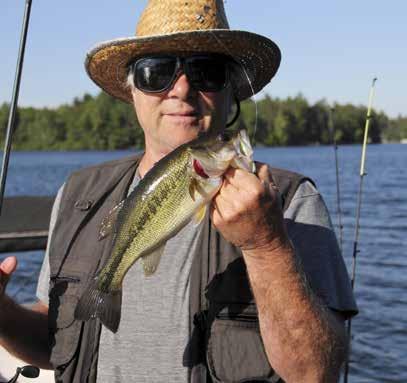
HAYWARD – You may not be one of the lucky ones invited to the annual Wisconsin Indian Head Country’s Governor’s Fishing Opener, but you can still reel in an open invite to another event on Friday, April 30, in Hayward. More on that later. The annual Governors Fishing Opener, hosted by the Hayward Lakes Visitor & Convention Bureau, is held during the opening weekend of the Wisconsin hook and line fishing season. The fishing will happen from Friday through Sunday. Governor Tony Evers will be attending the 55th annual opener this year, fishing on the Chippewa Flowage. The Chippewa Flowage was created in 1923 after damming a portion of the Chippewa River. The flowage features over 15,000 acres of water with more than 140 islands. The Governor’s Opener rotates to different communities each year but remains in what’s called the Indian Head area of Wisconsin, largely the northwest corner of the state. It serves to highlight the tremendous fishing and vacation opportunities of that region. The Fishing & Outdoor Expo on that Friday is free to the public. This expo will take place at the Fresh Water Fishing Hall of Fame complex from 11 a.m. to 2 p.m. Scheduled are vendors, free tours of the museum, a free fish fry to the first 200 people, along with a casting skills challenge course, Birds of Prey (possible showing of owls, hawks or eagles), live music, and more. The Hall of Fame is conveniently located within the city at 10360 Hall of Fame Drive. Look for the 143-foot muskie sculpture on the grounds.



Taste the Best of the St. Croix River Valley
ST. CROIX FALLS – The Falls Sampler is a fun opportunity to sample the unique food offerings of the beautiful St. Croix River Valley. This year’s event has been set for Saturday, May 1, from 5:30 to 8:30 p.m. at the Polk County Fairgrounds, 800 E. Louisiana, St. Croix Falls. Purchase your tickets and enjoy food and drink samples from two dozen—and often many more—local restaurants, wineries, sweet shops, breweries, dairies and farms, and other vendors while catching up with friends in a festive atmosphere. Your ticket also gets you a canvas wine bag with wine and beer tasting glasses, bottle opener, and cork coaster. Enjoy live music and cooking demonstrations. Be sure to purchase tickets for the 50/50 cash raffle, Wall of Wine or Trough of Beer. Money raised goes to Falls Chamber programs that benefit local communities. You need to be at least 18 to enter and at least 21 to consume alcohol. Photo ID will be required. For more information, call 715-483-3580.

U.P. Michigan Region

Ready for a Wilderness Experience? Try the Sylvania
WATERSMEET – Few areas compare to the Sylvania Wilderness and Sylvania Recreation Area, located near Watersmeet, Michigan, and part of the National Wilderness Preservation System. The 18,327-acre wilderness offers an outstanding experience for those who want to camp, fish, hike, view wildlife, canoe, or enjoy the solitude of a wilderness experience. For those needing a guiding hand, there are outfitters in surrounding towns. Sylvania’s old-growth forest includes record-size red and white pines, some of them dating back 400 years! While exploring Sylvania, you might see threatened or endangered plants, birds, and animals, such as rare orchids, along with bald eagles, loons, and osprey. The 34 named lakes in the Sylvania are clear, deep, and unspoiled. Sand beaches that surround some are perfect places for a rest break. Visitors can fish (non-motorized boats only) for native trout, bass, walleye, panfish, and pike. Only artificial lures may be used, and all bass, some of which reach impressive proportions, must be released. Camping opportunities abound. Sylvania Wilderness Backcountry Camp is not a physical campground located at one location. A well-maintained trail system that wanders through the giant trees provides access to the 50 individual primitive camping sites located in 29 designated locations along eight lakes. Camping is by permit only. Each campsite is equipped with a campfire ring, tent pad, and wilderness latrine. Permits must be reserved through Reserve America online at recreation.gov. Reservations can also be made by calling 1-877-444-6777. On the northern border of the Wilderness, the Sylvania Recreation Area offers a major trailhead, 48 drive-in campsites, potable water, showers, and flush toilets. A good entry point for a hiking adventure is just north across the Michigan border from Land O’ Lakes, off Fisher Road. Trails will take you past Deer Island Lake, Crooked Lake, and Mountain Lake. You can take side trips to take in the beautiful views at High Lake, Cub Lake, and West Bear Lake. Otherwise, from Watersmeet, go west on U.S. 2 for 3.5 miles and turn left on GCR 535. Travel approximately 3 miles to the Entrance Station of the Sylvania Wilderness. More information is available at the Ottawa National Forest Visitor Center, located at the intersection of Highway 45 and US-2 in Watersmeet. Open year-round, it offers a unique display of what the Ottawa National Forest is all about.




ADVENTURE TO THE TOP OF THE WORLD'S LARGEST ARTIFICIAL SKI JUMP TOWER IN IRONWOOD, MI
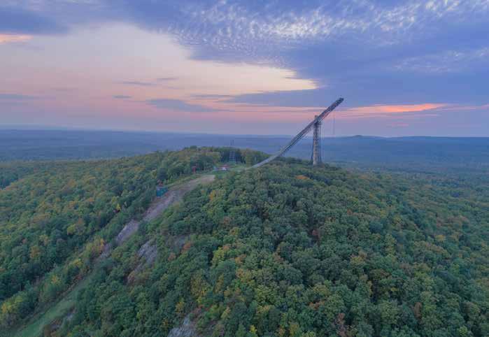
& witness 360-degree, panoramic views overlooking the Ottawa National Forest, Black River, Lake Superior, and so much more.
Open Every Day until Mid-October www.copperpeak.com for specific times & prices COPPER PEAK (906) 932-3500
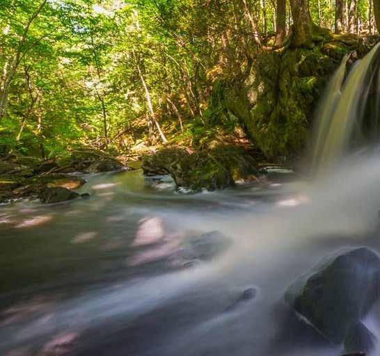
From Winter Wonderland to Spring Waterfalls
You will oftentimes hear them before you see them. We’re talking about waterfalls in the Upper Peninsula. And springtime is prime time to hear them roar as they flush the snowmelt and spring rains to their final destinations—either Lake Superior or another, larger river system.


We have our favorites, of course. Bond Falls and the ones north of Bessemer on the Black River have been visited numerous times. With the construction of the boardwalk and railings below Bond Falls, it’s an ideal place to take children and older citizens, as well as those with mobility issues. (The boardwalk is handicapped accessible.) There is a fee for parking below, but not if you park on the road above. Before going further, be aware that the rivers run swift and can be dangerous if you venture too close to the banks. Sturdy footwear, a walking stick, and common sense should always be with you. Don’t tempt fate by wading above a waterfall; you can lose your footing in an instant and be swept over the falls. Scouting out the smaller waterfalls will require maps, GPS, or compass, and—we highly recommended this—a book on UP waterfalls. You can find maps and books at the chambers of commerce and visitors centers. You may have to backtrack a time or two to locate one of these hidden gems, as directional signs are either nonexistent or poorly placed. We discovered that one year when we passed the dirt side road that led to the hidden waterfall because the sign was placed a hundred feet down the side access road instead of on the secondary road we were using! Here’s a few waterfalls worthy of your attention: Cascade Falls: This waterfall has an array of steps with a tremendous amount of water. Located on the West Branch of the Ontonagon River. Directions: Heading east of Bergland on M-28, take USFS 222 (Forest Hwy. 222 becomes Forest Hwy. 400) northeast from M-28. You will see a well-marked parking lot to the right. Walk the mile of groomed trail to the waterfall. Maple Creek: Just past the driveway to Potawatomi & Gorge waterfalls (on the Black River National Forest Scenic Byway) is Maple Creek Road on your left. Take the dirt road in about 4 miles to the bridge and find a parking spot. The falls are below the bridge and upstream. Downstream is Lake Superior about 1/2 mile. Nelson Canyon Falls: Beautiful waterfall and a beautiful hike that ends with a spectacular reward. Approximately a 45-minute walk that is not difficult. Take your time to enjoy and explore this area. Directions: 3 miles west of Lake Gogebic on Hwy. 64 take C Camp Rd; cross Nelson Creek (culverts) and continue for almost 1 mile until you are on your way uphill; there is a two-track path. Park and walk the two-track in and as it peters out or turns right; walk angling left. When you get to the river walk downstream. O Kun De Kun & Unnamed Falls: Finding these will be a challenge but worth your effort. Directions: Park at the North Country Trail parking lot on U.S. 45, about 0.6 mile north of the Baltimore River bridge, and take the NCT east 1.2 miles to the falls.


