REMOTE SENSING AND GIS INSTITUTE OF
JAHANGIRNAGAR UNIVERSITY BANGLADESH

Copyright @ 2023, Institute of Remote Sensing & GIS, Jahangirnagar University, Savar, Dhaka, 1342.
Design and Content Development Al Jubaer
Contact Institute of Remote Sensing and GIS Jahangirnagar University, Dhaka, Bangladesh.
Email: irsgis@juniv.edu
Website: https://juniv.edu/institute/irs
01 THE INSTITUTE
02
PARTNERSHIPS RESEARCH AND DEVELOPMENT
03 SKILLS AND CAPACITY DEVELOPMENT
04 VISITORS AND LECTURES
05 STUDENTS AND ENGAGEMENTS
06 GREEN SPACE FOR GREEN MINDS
CONTENTS
The Institute of Remote Sensing and GIS (IRS) of Jahangirnagar University plays significant roles in filling up knowledge and capacity gaps in geospatial applications by offering postgraduate level academic programs and providing skills development trainings, undertaking research and acting as knowledge sharing platform.
THE INSTITUTE
The IRS of Jahangirnagar University plays significant roles in filling up knowledge and capacity gaps by offering postgraduate level academic programs and providing skills development trainings, undertaking research and acting as knowledge sharing platform.
The institute aims to undertake research activities to better understand the complex nature of social-economicecological problems which are primarily stemmed from disaster and climate change impacts and provide solutions for addressing rela ted challenges. The IRS promotes interdisciplinary research using earth observation image data to understand the multi facets of problems since the disaster impact pathways are generally non-linear and culminate cumula tive impact conditions. Geospatial knowledge products could provide crucial information/results (by analyzing multi-la yered, complex nature of data) and map products to the interdisciplinary team for making better decisions and draw out appropriate choices/inferences on the problems.

01
THE STRATEGIC GOALS OF IRS
The IRS focuses on three thematic areas. These are geospatial solutions for (i) natural resource management, (ii) disaster management and climate change and (iii) sustainable development. The strategic goals of the institute are as follows.
(1) Developing human resources on geospatial tools (e.g. remote sensing, GIS and GPS), methods and models.
(2) Make significant advancements in the generation, use and analyze relevant data and produce knowledge products.
(3) Influence policies and practices by providing knowledge product-based solutions.
(4) Enhance local, national and international cooperation and partnerships through knowledge sharing processes (e.g., conferences, seminars, workshops, joint research activities etc.).
(5) Undertake high quality interdisciplinary research (where appropriate) in areas of land, air and water-based systems, biodiversity and also human dimensions of problems. Disaster management, impacts of global warming are also the major work domains of the institute. IRS integrates cross cutting topics such as gender, governance, poverty and other development aspects (where appropriate) in undertaking research. The institute undertakes demand driven research for government and non-government agencies.
(6) The institute works on knowledge management and communication of geo-spatial products, produced through different channels (e.g., internet based web portals and adopting other outreach mechanisms).
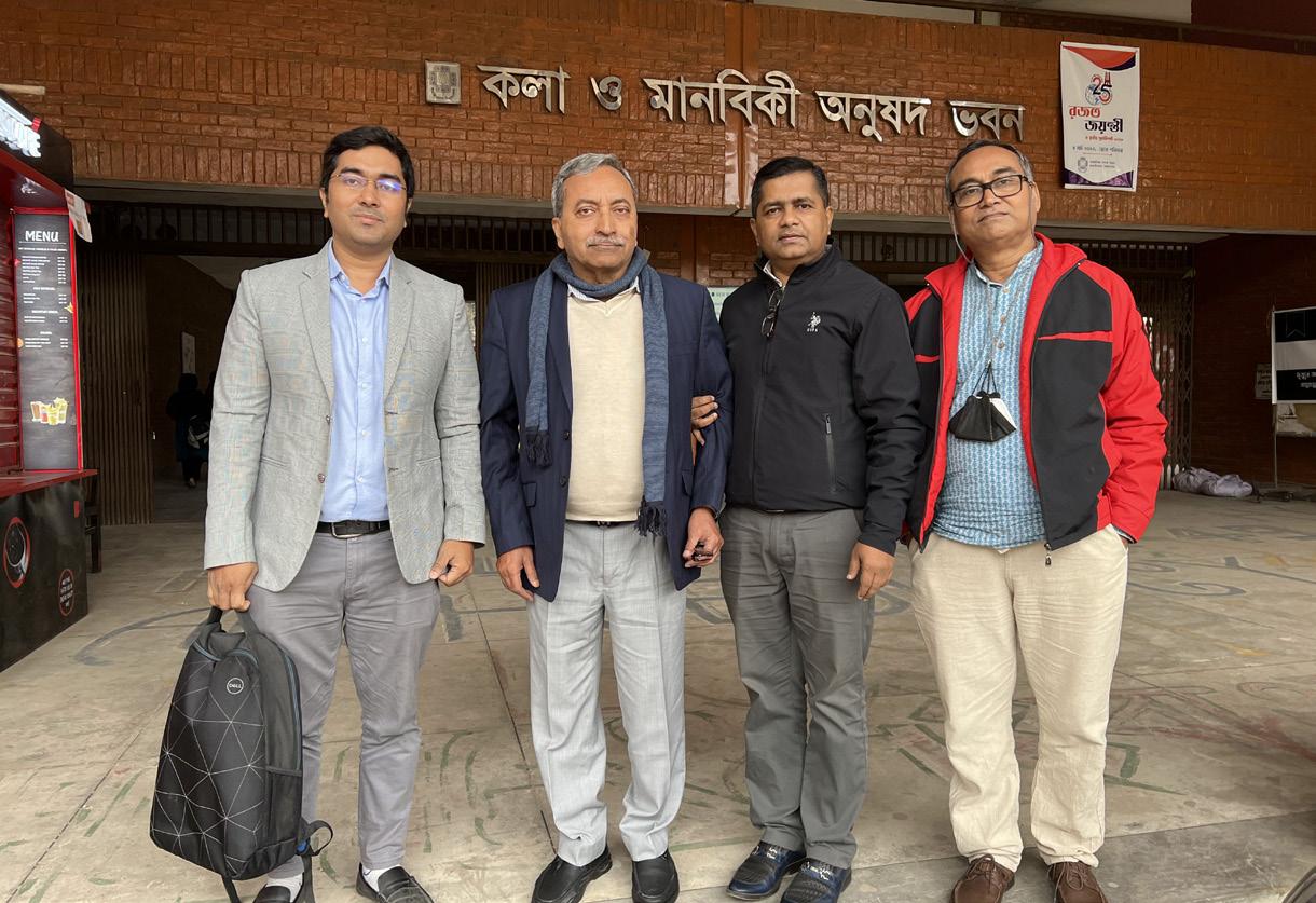
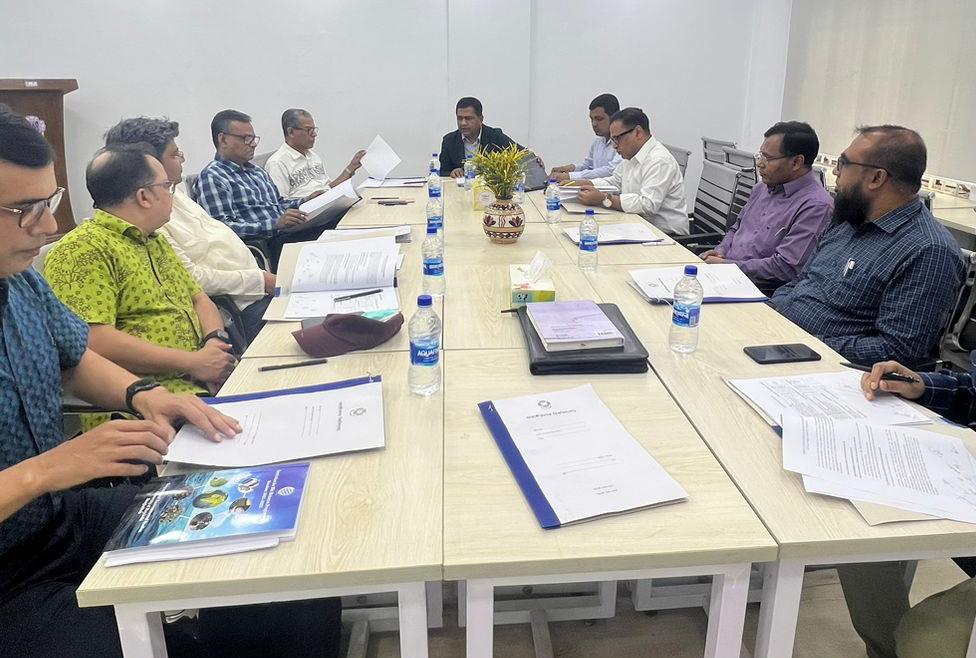
02 PARTNERSHIPS RESEARCH AND DEVELOPMENT
The Institute has taken a number of research initiatives where geospatial techniques were used. In the inhouse efforts, the faculties and students conduct research on a range of topics. Besides the institute undertakes joint research works with external agencies towards supporting them with geospatial techniquesbased knowledge products. Some major research works carried out in partnership with external agencies are as follows.
1. ‘Sustainable Non-Perishable Single Use Plastic Management Plan in River Port Areas and Action Plan for Plastic Contamination Free Water Ways’, conducted for Bangladesh Inland Water Transport Authority (BIWTA) in 2023.
2. ‘Strategic Environmental Assessment (SEA) on climate change adaptation interventions in southwestern coastal areas of Bangladesh’, conducted for Oxfam Bangladesh in 2019.
3. ‘Statistical downscaling of climate data and assessment of human vulnerabilities in south-western coastal areas of Bangladesh’, conducted for the Ministry of Local Government, Rural Development & Cooperatives in 2020.

4. ‘Urban Heat Island and Building Density: A Geospatial Inquiry on Rangpur City Corporation’, conducted for the Ministry of Science and Technology in 2023.
5. ‘An assessment of the causes and consequences of landslide impacts (20012021) in southeastern parts of Bangladesh’, conducted for the Ministry of Science and Technology in 2020.
The Institute publishes peer-reviewed academic journal titled ‘Jahangirnagar University Journal of Geospatial Science‘ where renowned academicians and eminent international professionals in the field play roles in the paper review process as members of the editorial board.
03
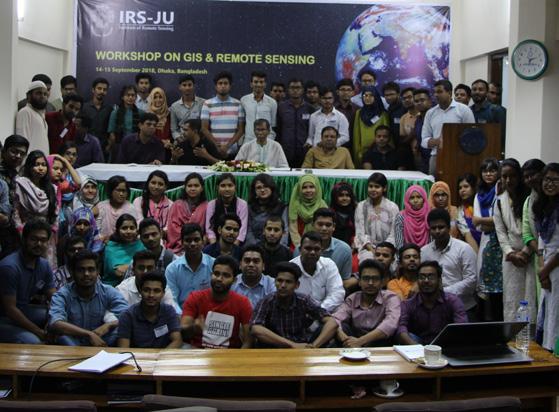
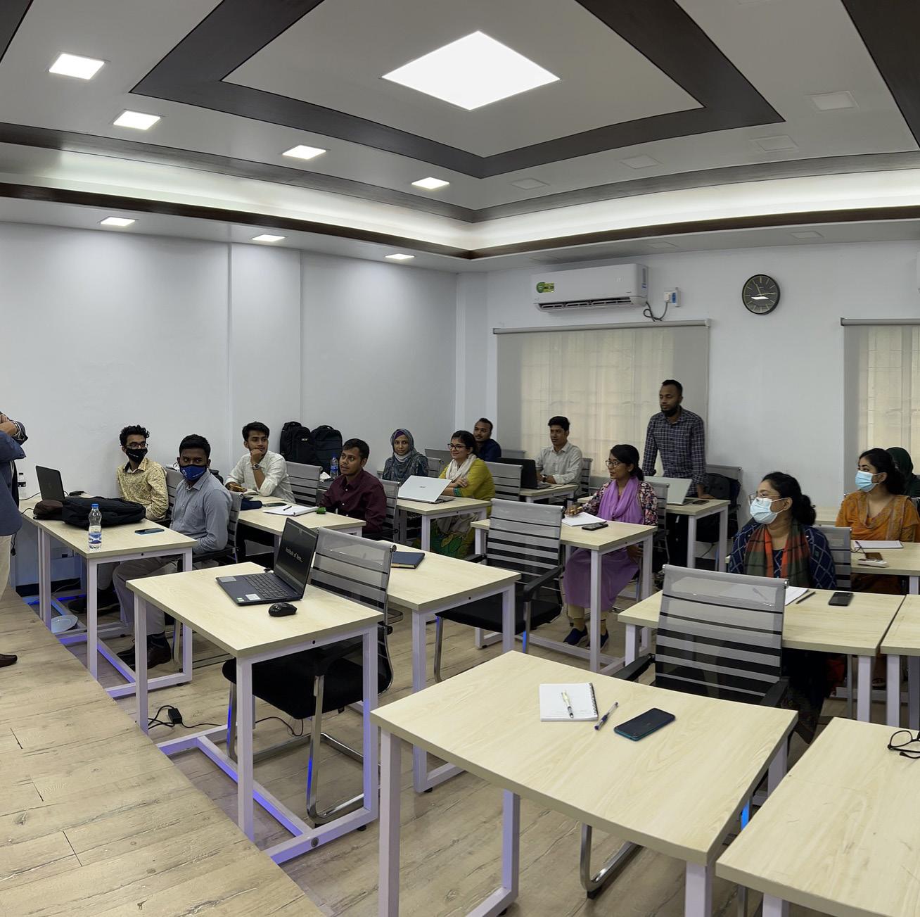
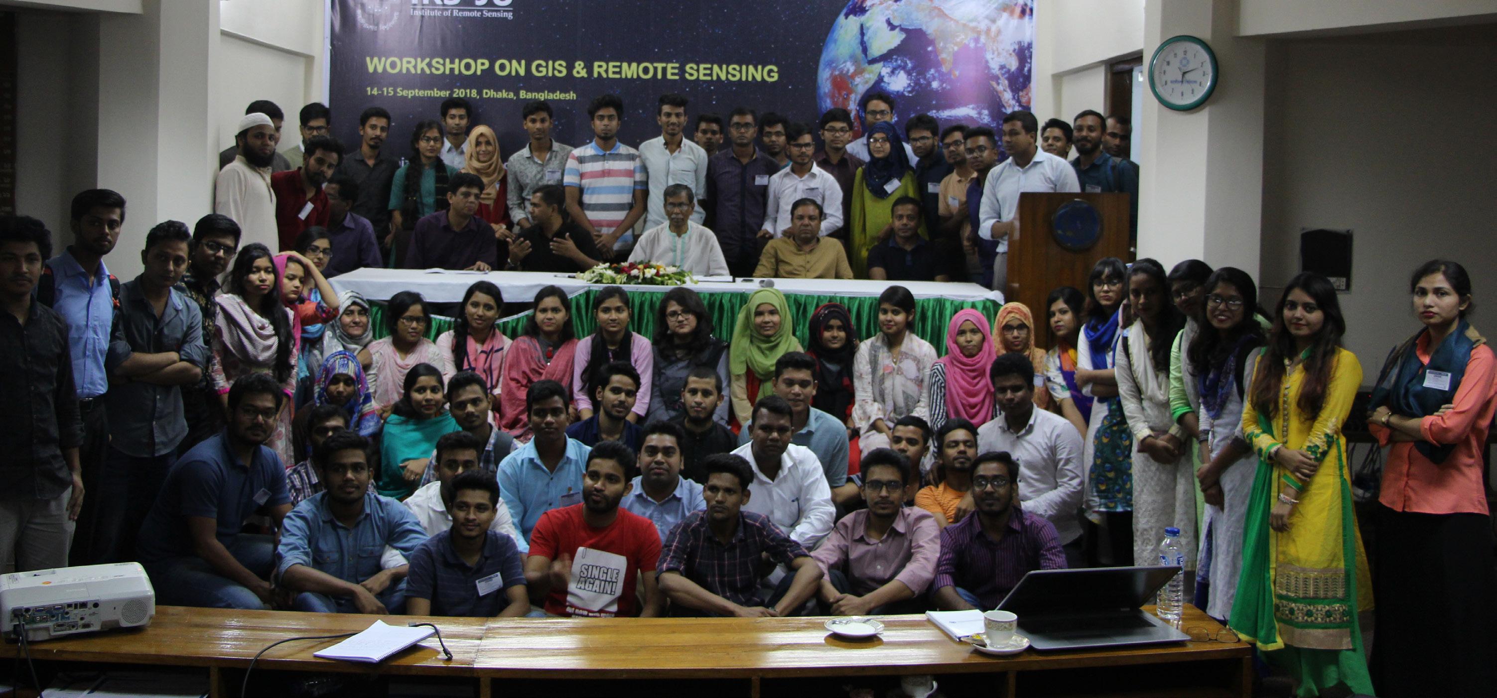
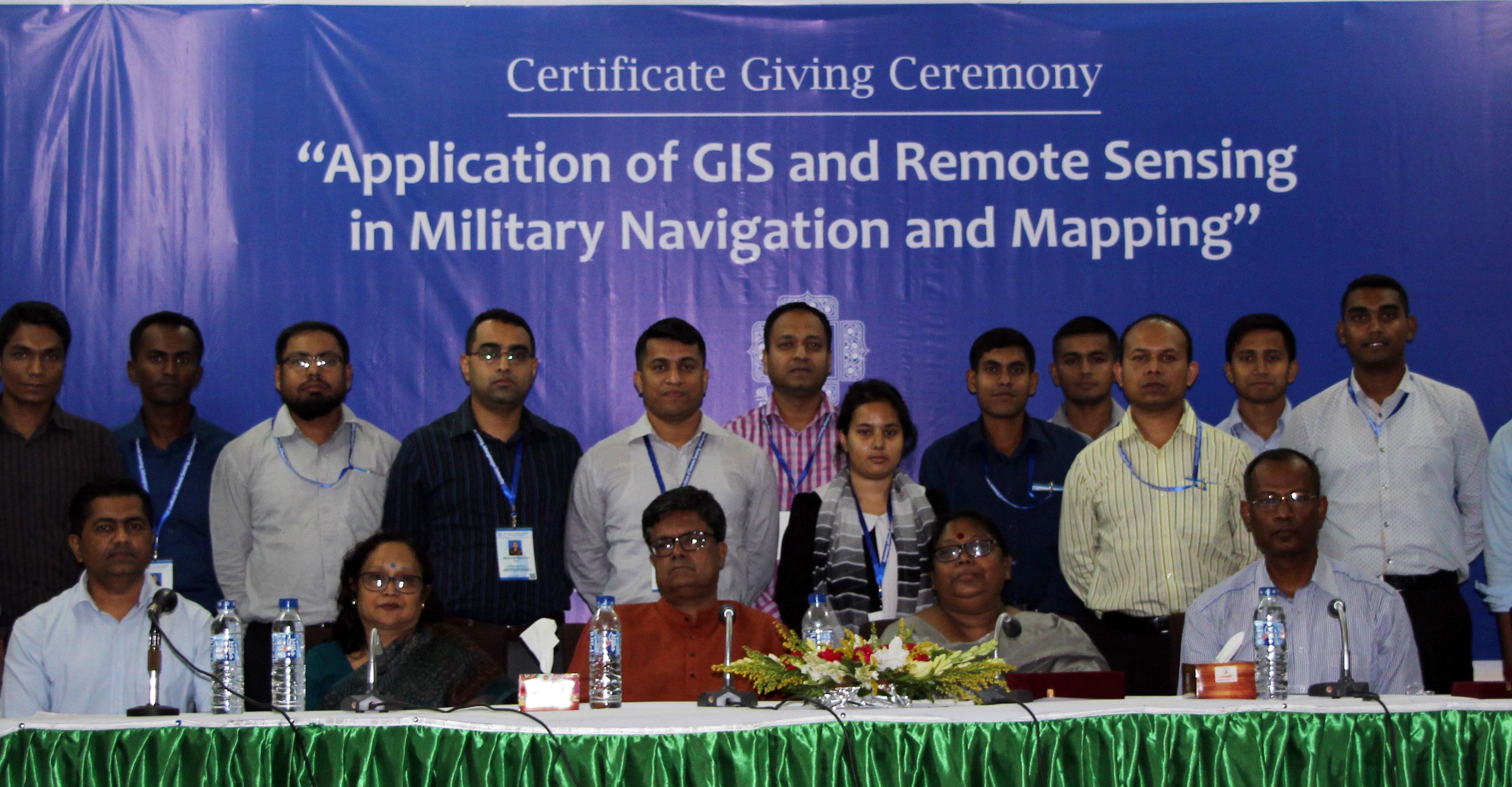
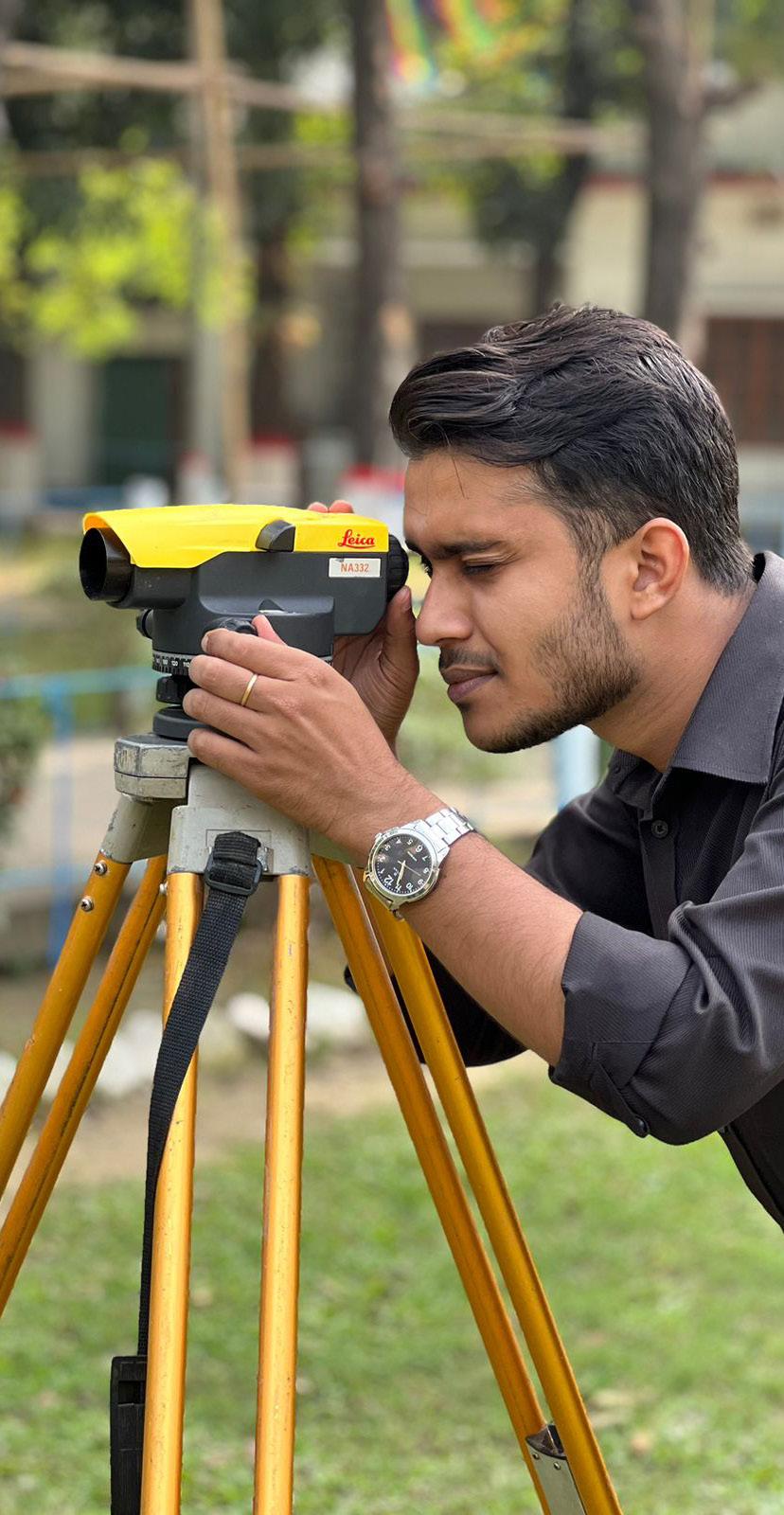
SKILLS AND CAPACITY DEVELOPMENT

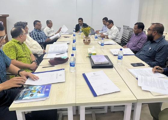
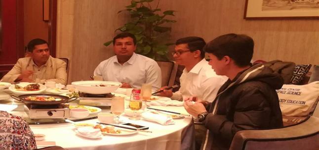
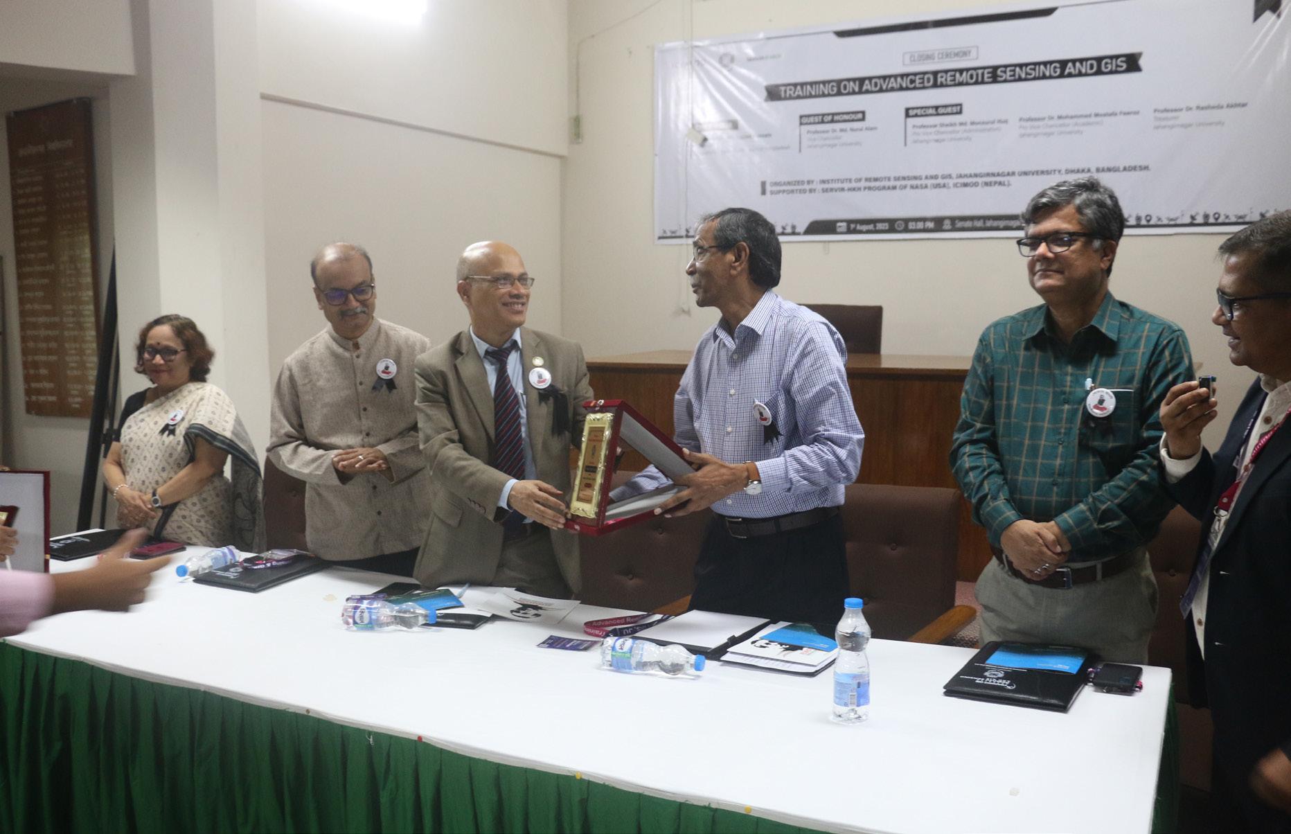
Undertaking capacity development training on geographical application is one of the major activities of this post-graduate institute. The training programs are organized sometimes in partnership with external agencies such as SERVIR (NASA) through ICIMOD and sometimes training programs are organized solely by the institute. The Institute, by now, provided training to Bangladesh Army officials, officials and professional of the Ministry of Land, scientific officers of Bangladesh Oceanographic Research Institute (BORI), different NGOs, professionals, etc. Coproduction of solutions using remote sensing and other spatial data was also exercised in some of the training workshops.
VISITORS AND LECTURES 04
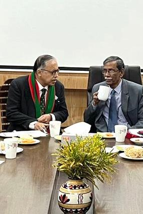
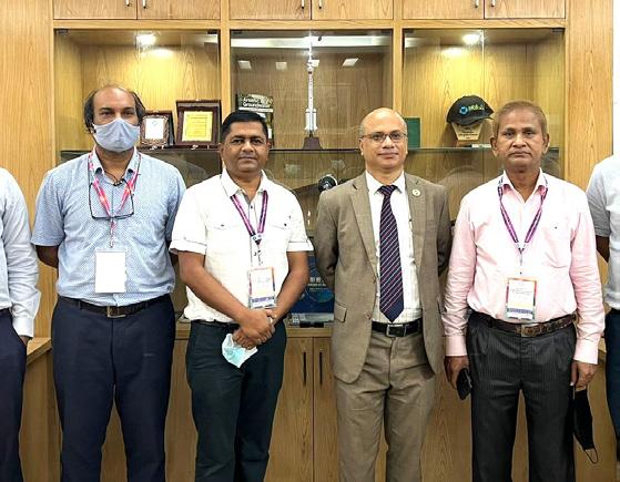
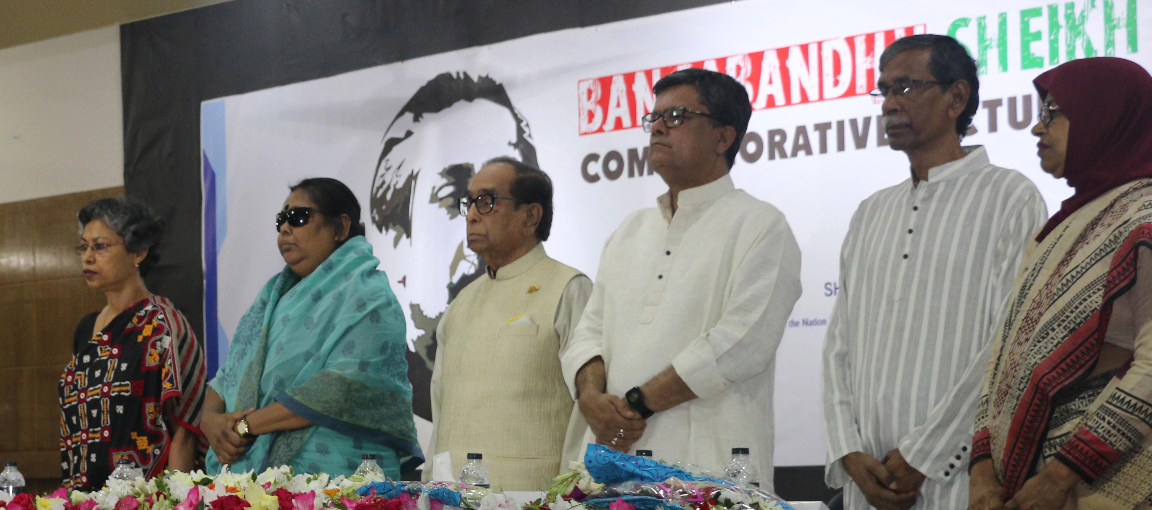
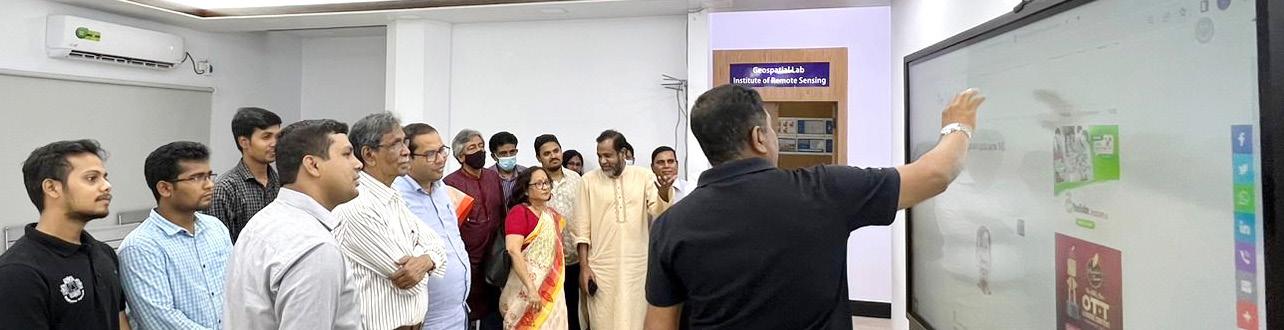
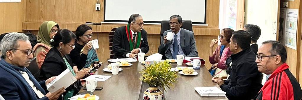
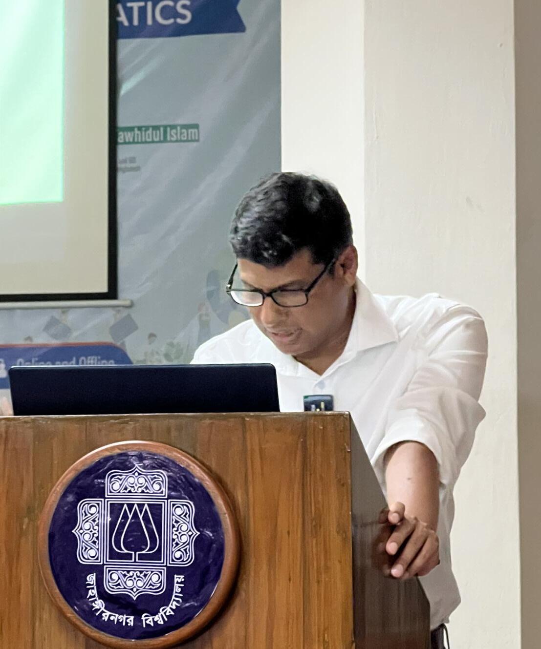
Institute of Remote Sensing and GIS believes that the engagement of scientists and professionals is pivotal to understand the knowledge gaps in different sectors and at the same time help to get informed about the state of the art techniques available to fill in such gaps. In this connection, the institute invites eminent scientists and professionals from home and abroad on a regular basis to deliver lectures and share knowledge with students and professionals.
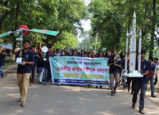
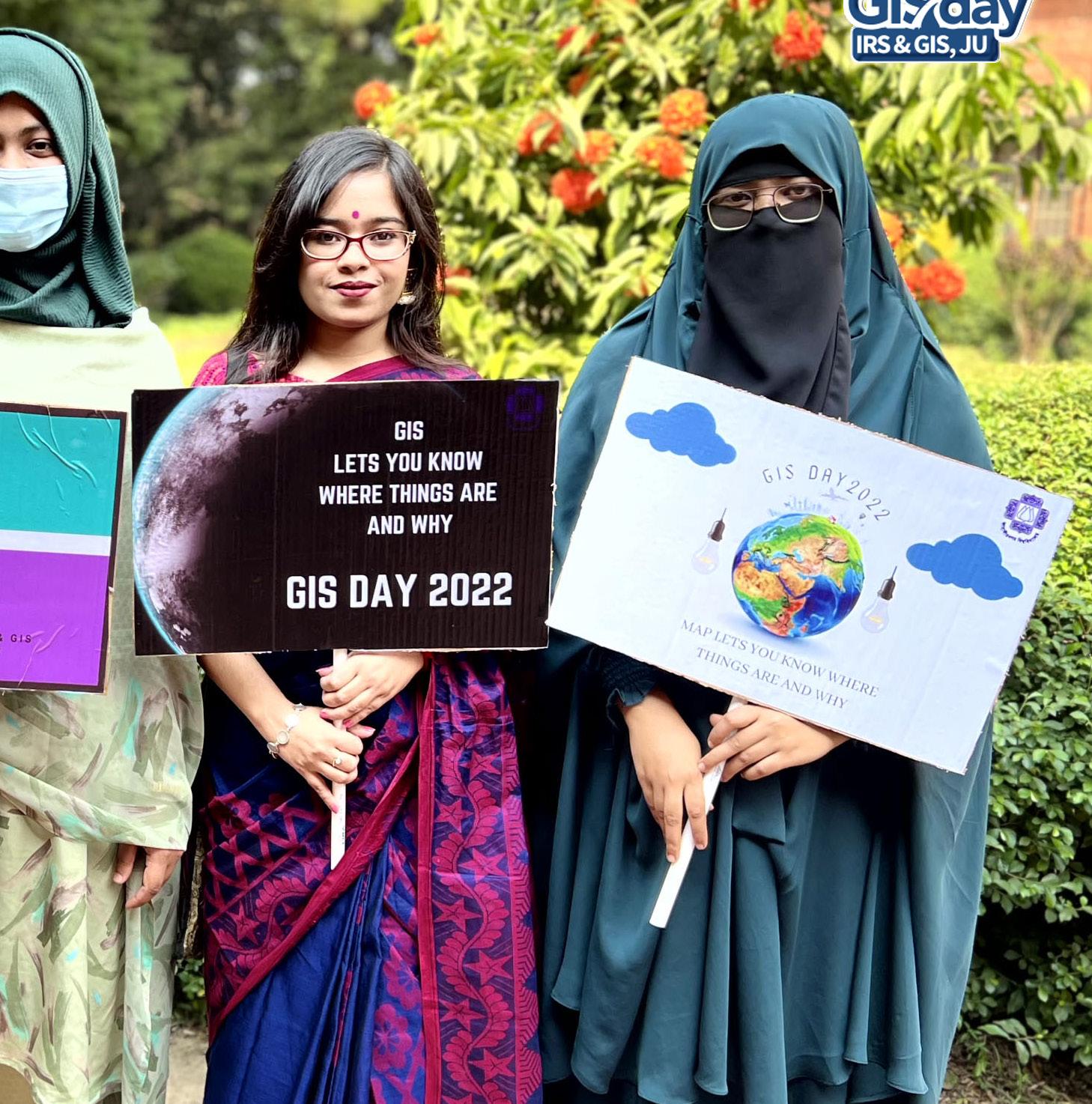
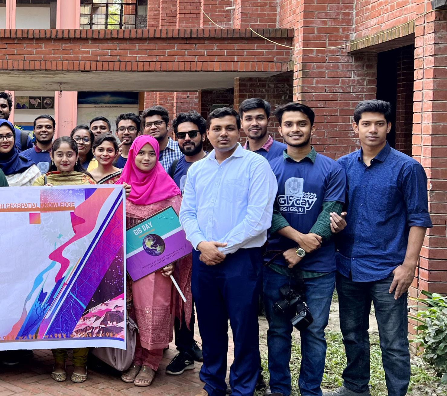
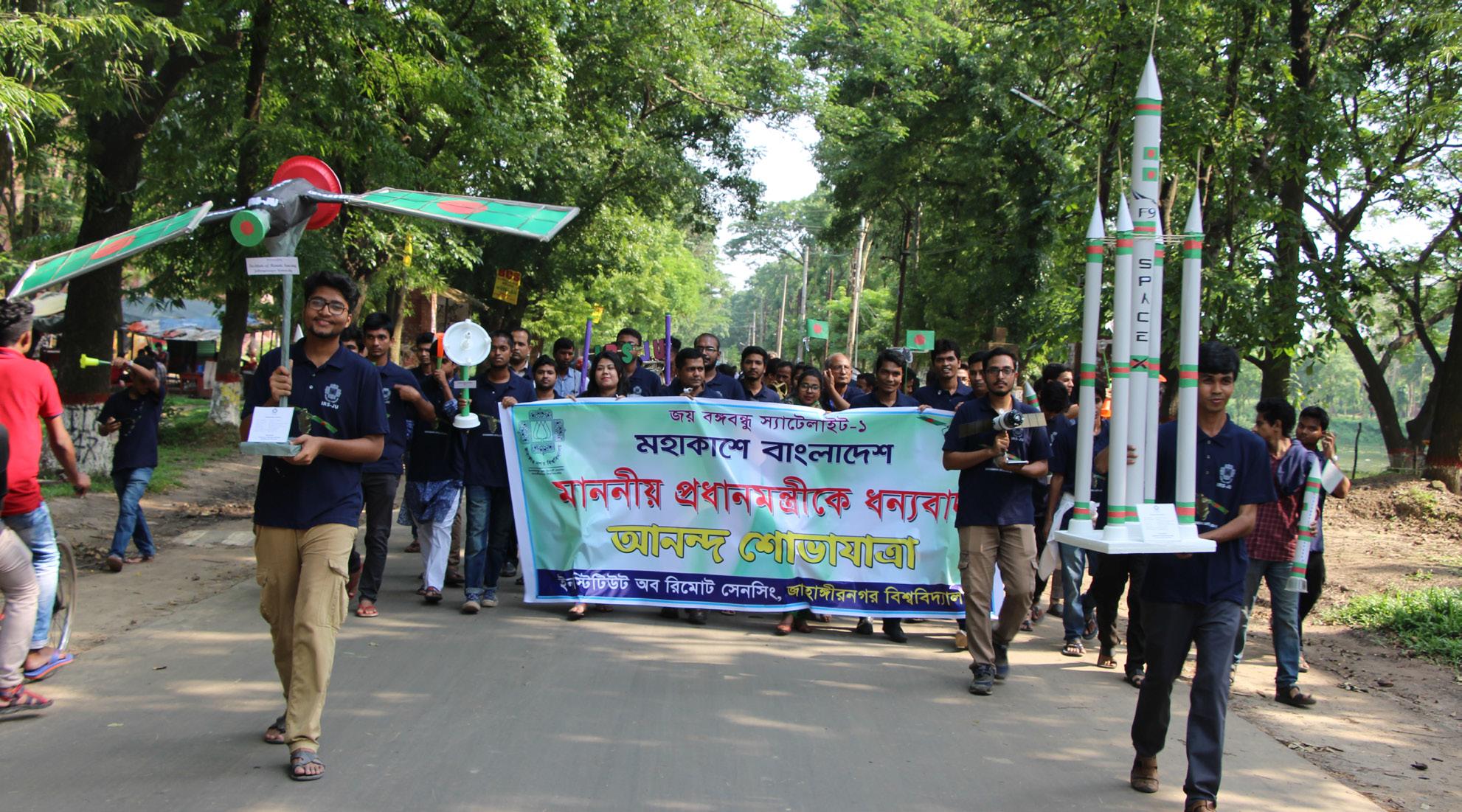
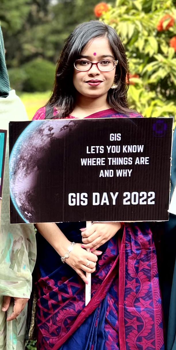
05 STUDENTS AND ENGAGEMENTS

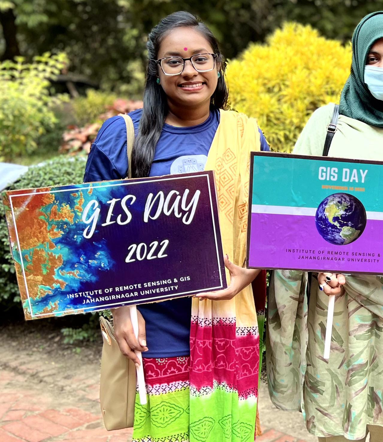
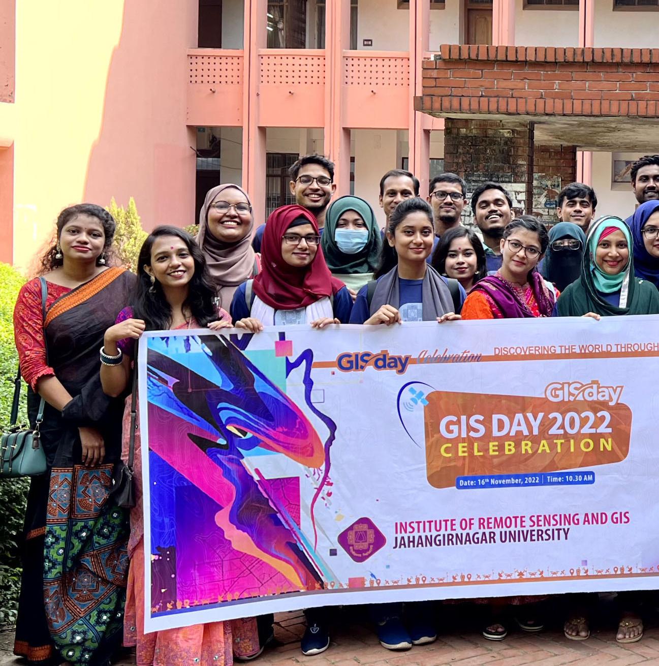
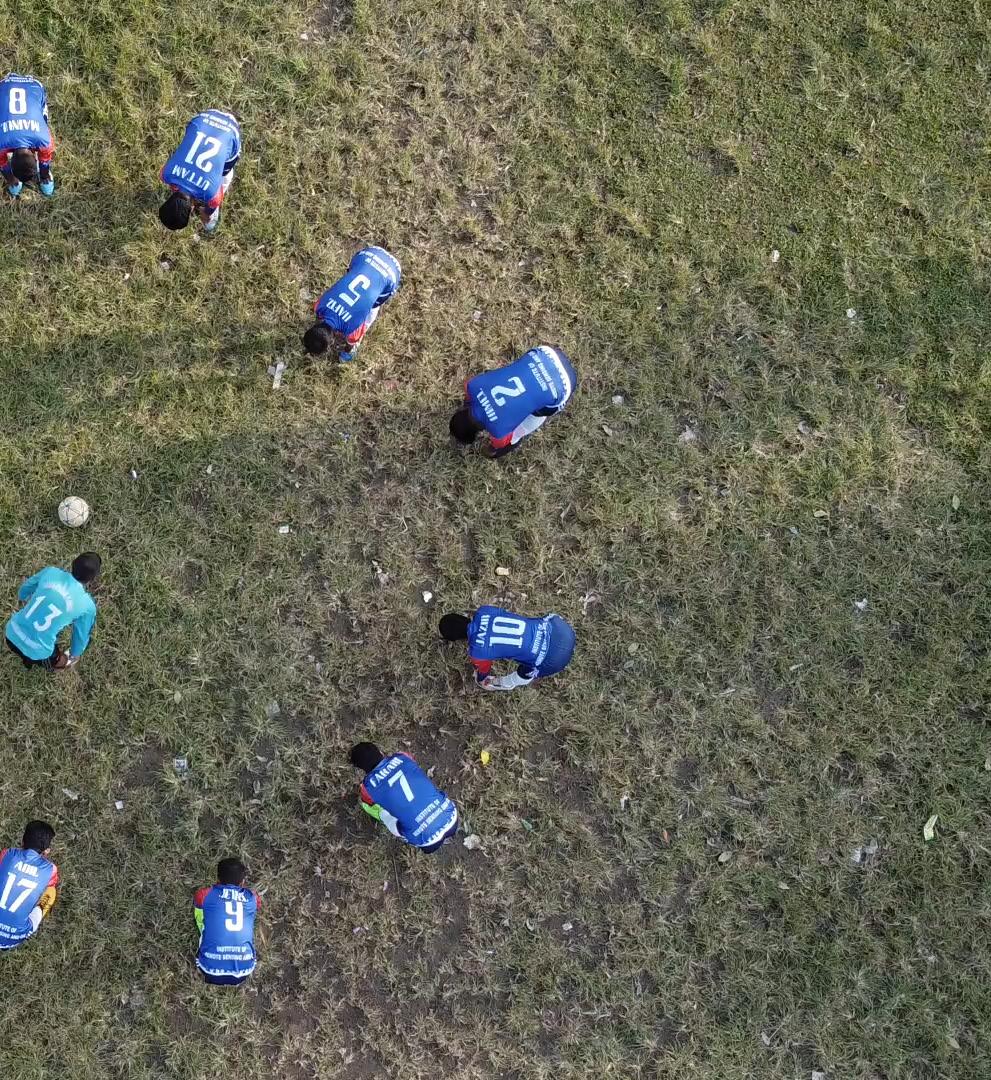
Students of IRS-GIS are the prime sources of spirit for actions. Classroom teaching and learning, undertaking research, field works, social gatherings, sports, debates and cultural programs are some of the events where students play vital roles in generating productive outcomes by making agile participations. The volunteer mapping activities of the students as Youth Mappers of OSM (Open Street Map) contributes in helping out the vulnerable communities and environments in Bangladesh and beyond. The institute believes in gender balance and hence recruits female and male students on a fifty-fifty ratio. The students are coming from diverse backgrounds with colorful and innovative minds.
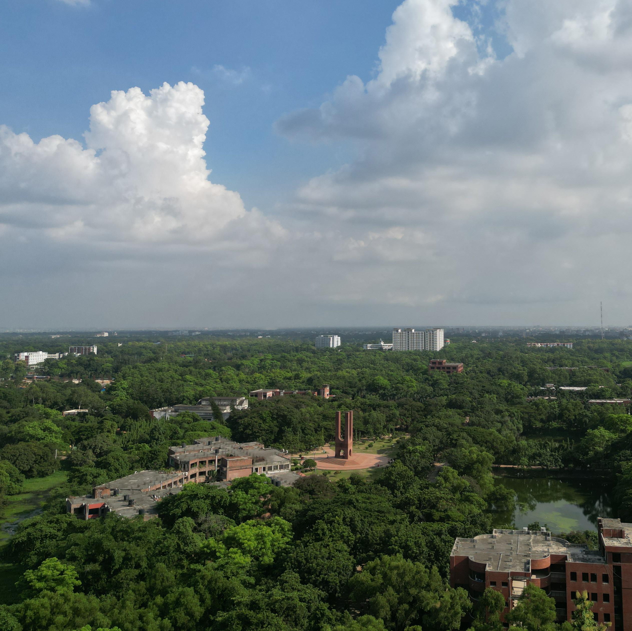
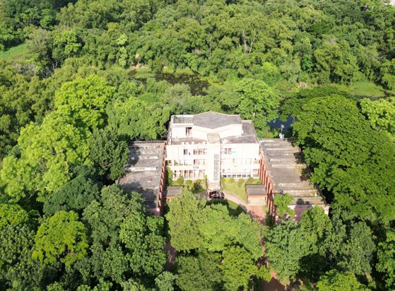
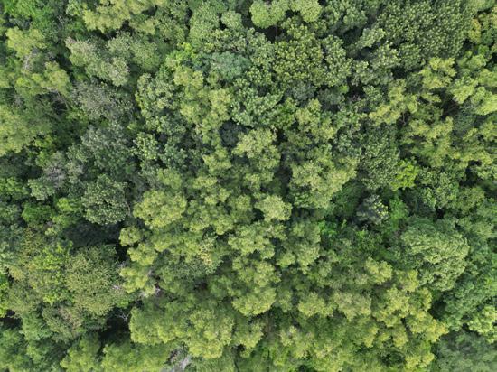
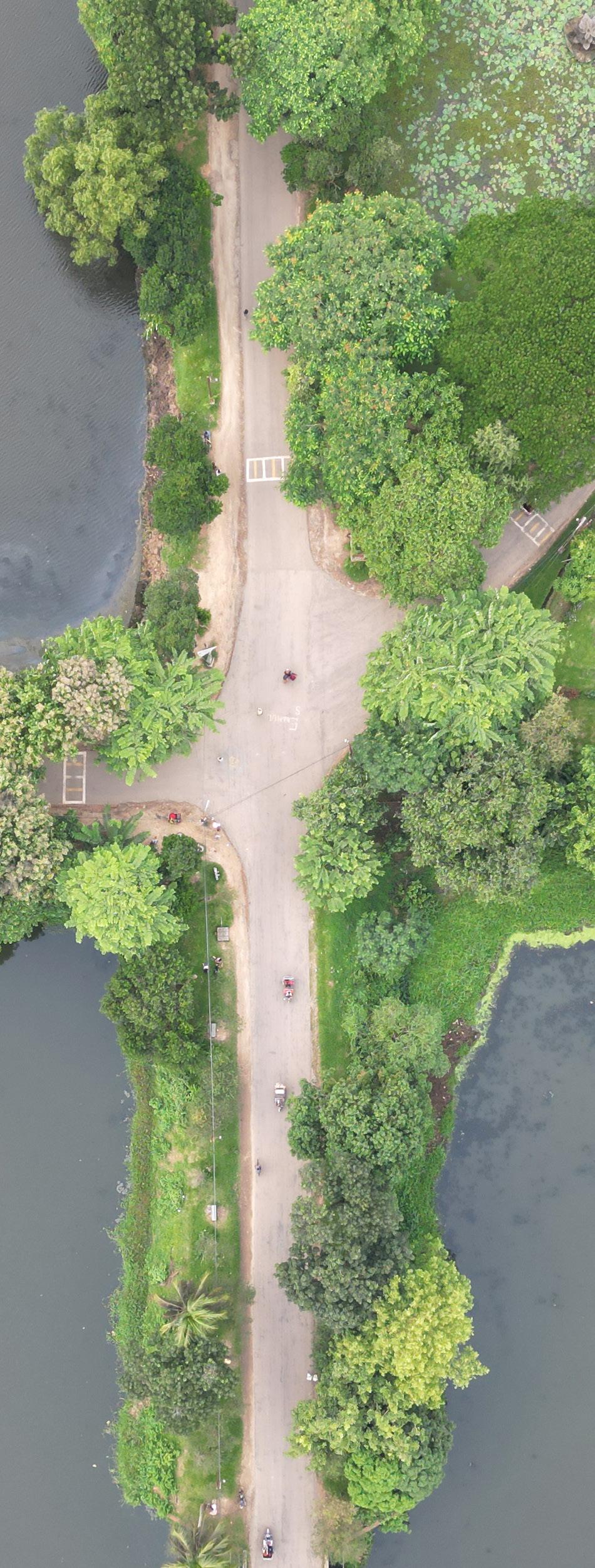
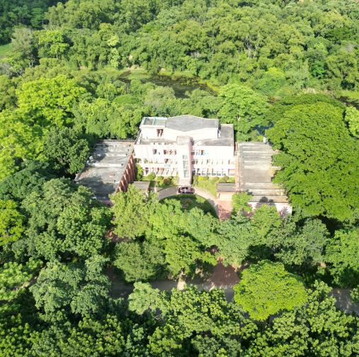
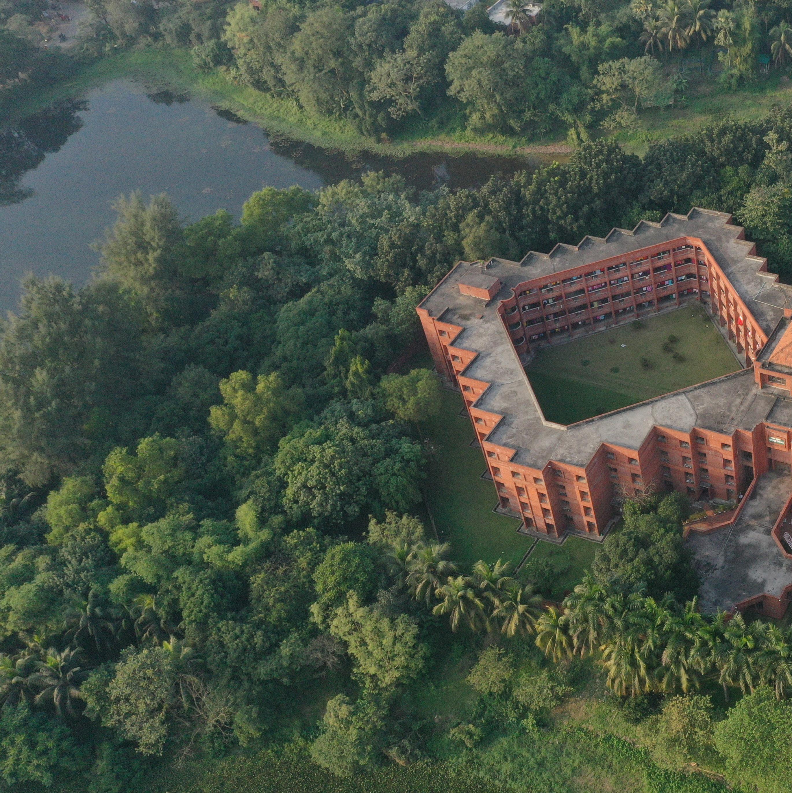
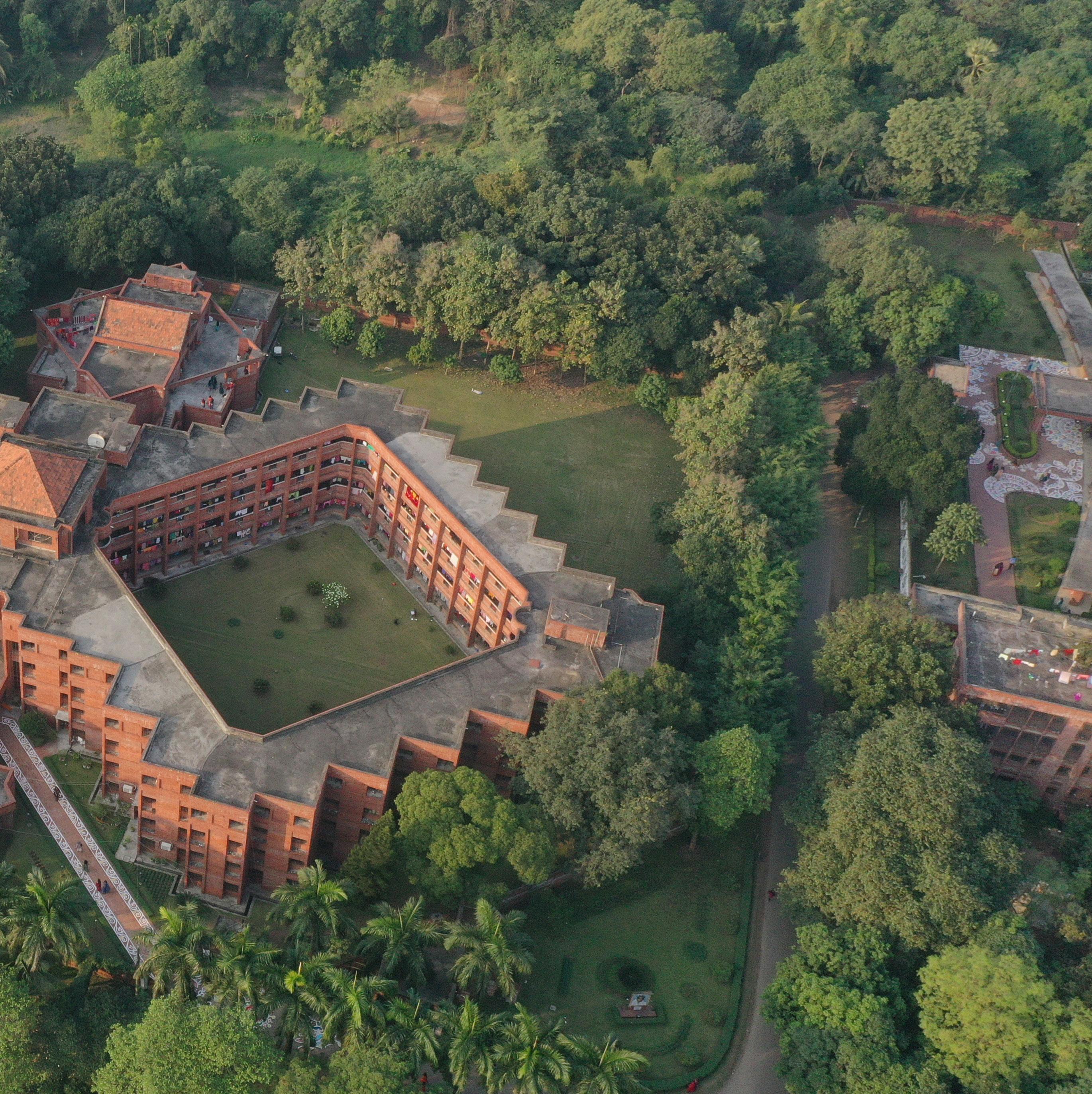
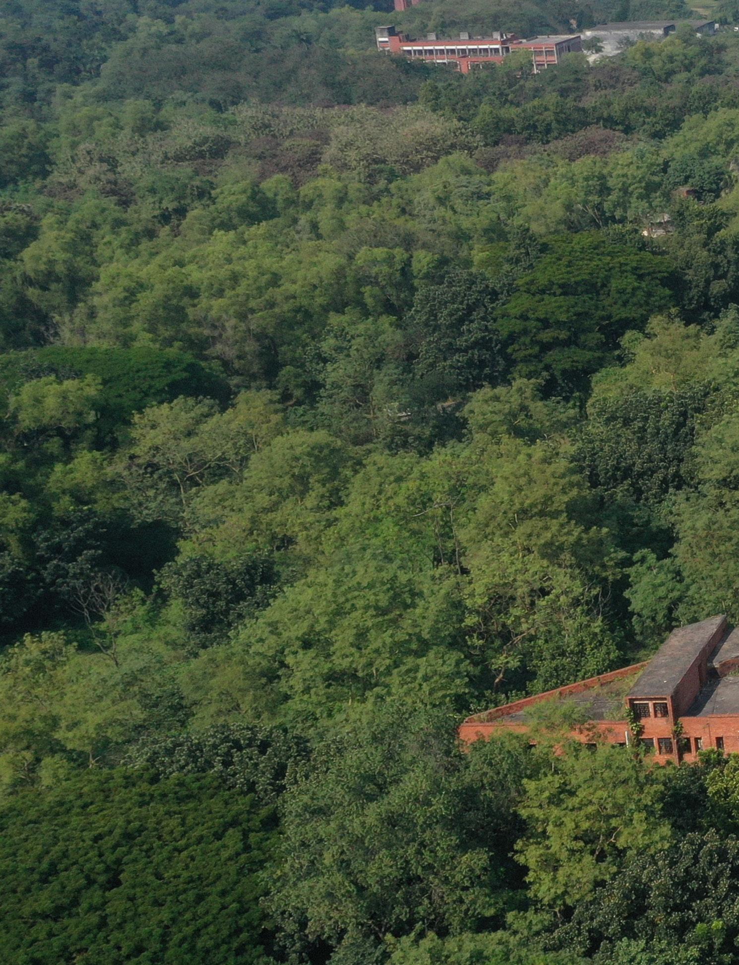
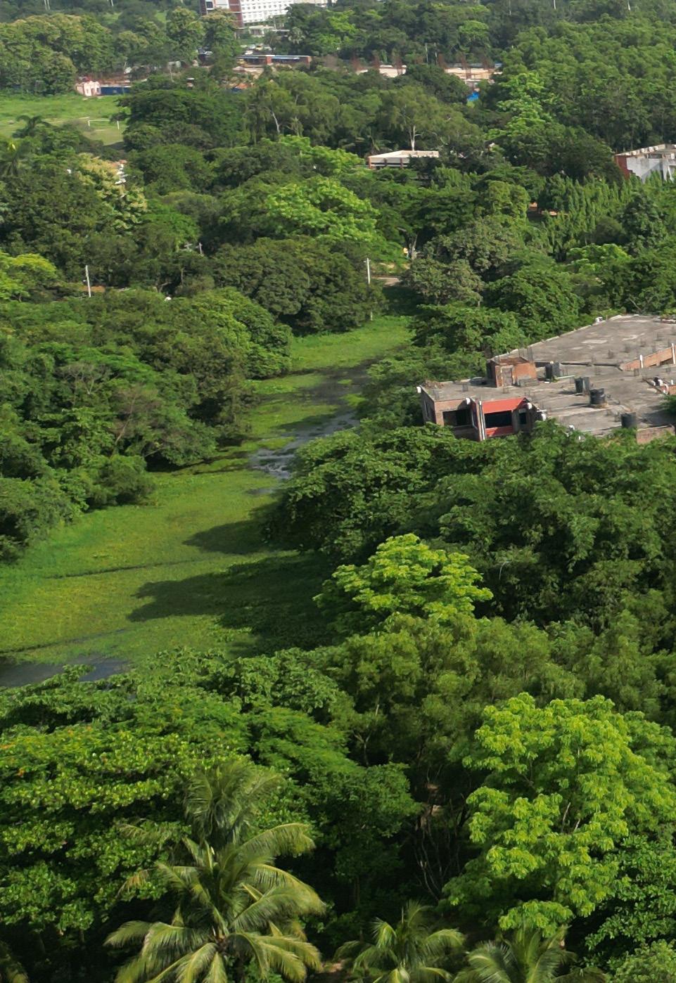
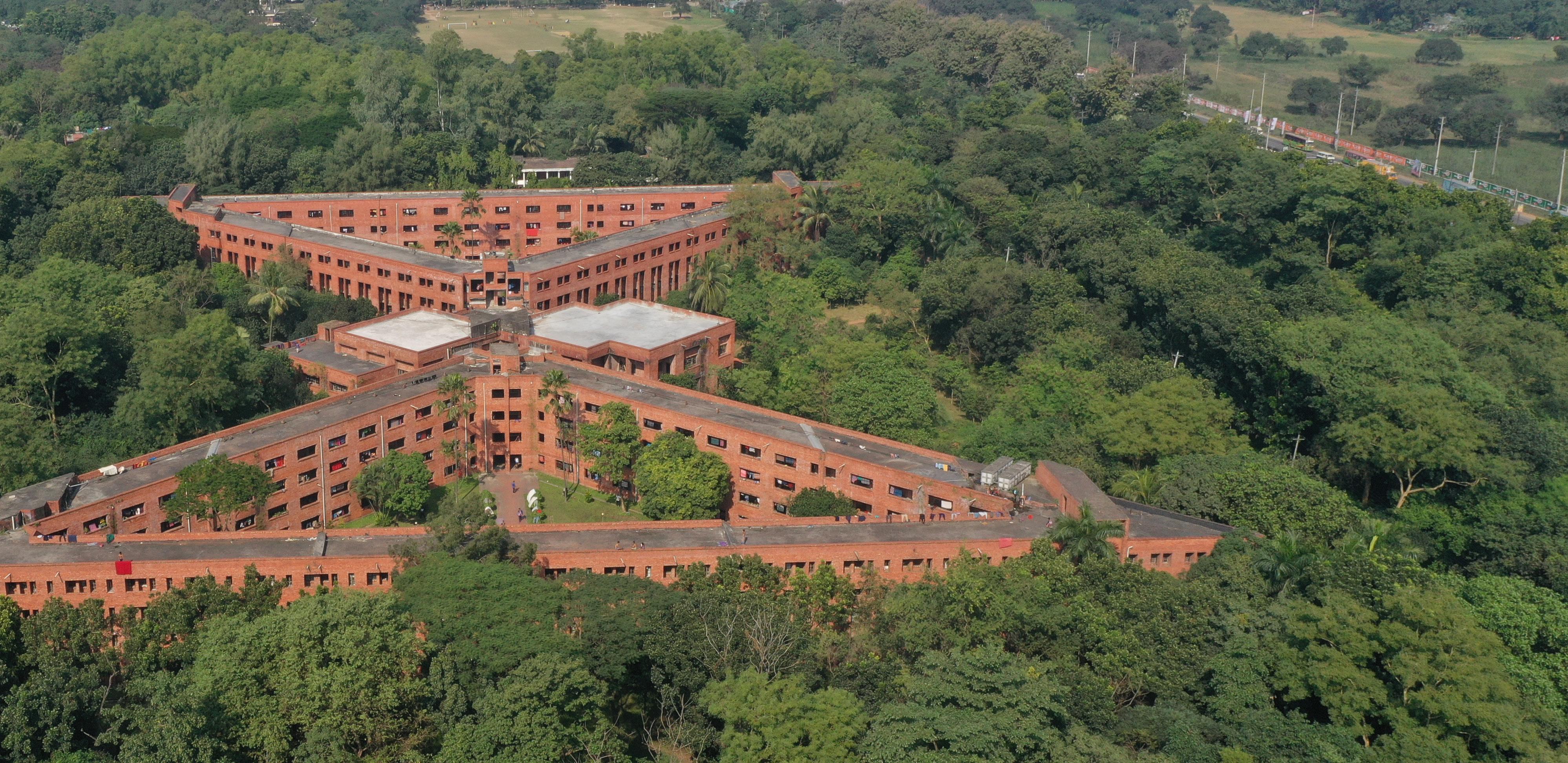
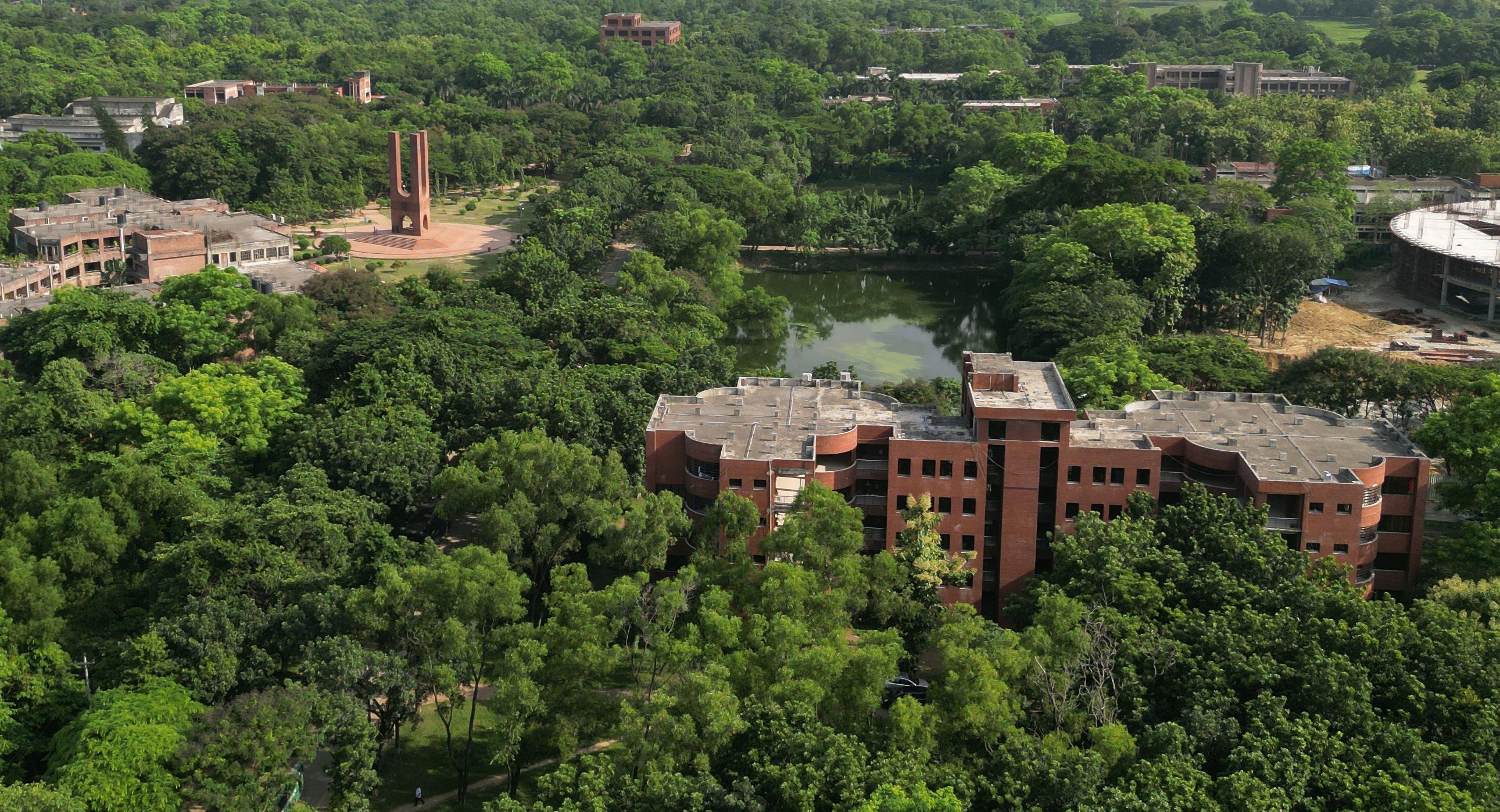
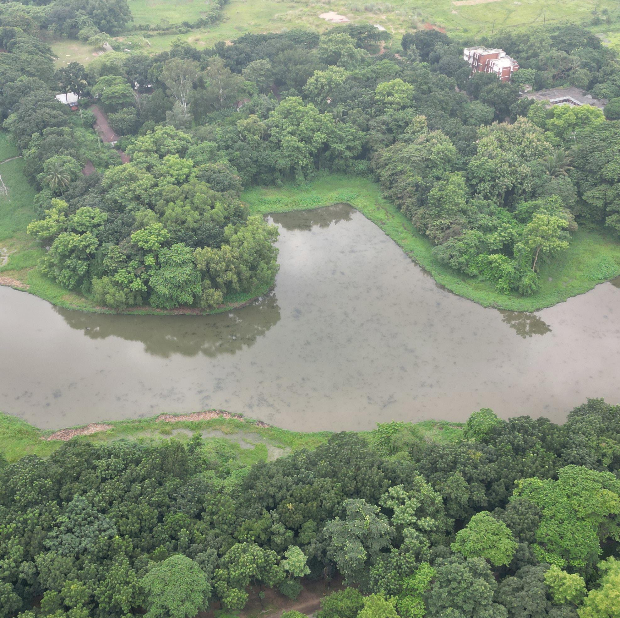
06 GREEN SPACE FOR GREEN MINDS
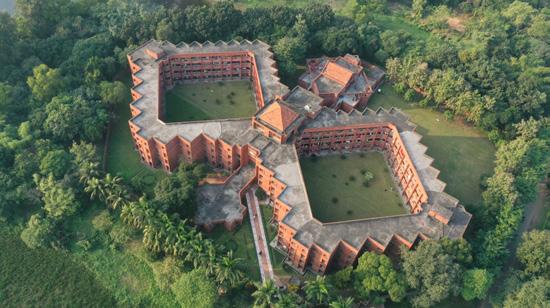
The youths are evergreen and the green minds need green space vis-a-vis campus. The institute is situated in the most beautiful campus of Bangladesh adorned with lash green vegetation, colorful seasonal blossom, vast open spaces, serene water bodies and enriched with diversities at genetic, species and ecosystem levels. The campus offers the appropriate physical environment for healthy living, foster creative and innovative minds, lessons learnings and skills development. The whole campus is a learning space for the students, the actions are just rooted in IRS-GIS classrooms.
JAHANGIRNAGAR UNIVERSITY BANGLADESH REMOTE SENSING AND GIS INSTITUTE OF Sheikh Tawhidul Islam, PhD(Durham, UK) Professor and Director Email: s.t.islam@juniv.edu https://tawhidulislam.com
