FLOODPLAIN MANAGEMENT FOR PLANNERS: THE BASICS




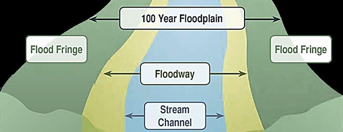

• Reduce severity of floods
• Minimize non-point pollution on a basin or watershed

• Help control erosion
• Provide habitat for flora and fauna and potential conservation area
• Provide feeding and rookery areas for waterfowl
• Provide recreational opportunities

• Provide rich soils to support cultivation and agriculture.


• 1968 Congress passed National Flood Insurance Act
• Communities had to adopt & enforce floodplain management regulation
• 1973 Congress passed Flood Disaster Protection Act
• Mandatory purchase of flood insurance in Special Flood Hazard Areas

• 1979 NFIP/FIA transferred to Federal Emergency Management Agency-FEMA
• 1994 Community Development and Regulatory Improvement Act & National Flood Insurance Reform Act

• 2000 Disaster Mitigation and Cost Recovery Act (2004 Revisions)
• 2004 Flood Insurance Reform Act

• 2012 Biggert-Waters Flood Insurance Reform Act
• 2014 Homeowners Flood Insurance Affordability Act


FEMA prepares Floodplain maps and flood hazard data.
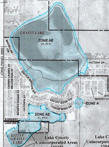


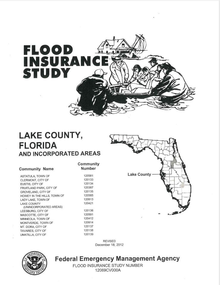

• Companion document to the FIRMS.

• Report containing detailed flood elevation data in flood profiles and data tables.

• The FIS contains flood risk data for specific watercourses, lakes, and coastal flood hazard areas within a community


Voluntary Incentive Program that recognizes & encourages community floodplain management practices that exceed minimum standards. Over 1,500 communities participate nationwide.

CRS Communities are entitled to discounted premium flood insurance rate based on a point system.
CRS Program Goals
1. Reduce and avoid flood damage to insurable property
2. Strengthen and support the insurance aspects of the National Flood Insurance Program
3. Foster comprehensive floodplain management

CRS Participating Communities: https://www.fema.gov/floodplain-management/community-rating-system#participating
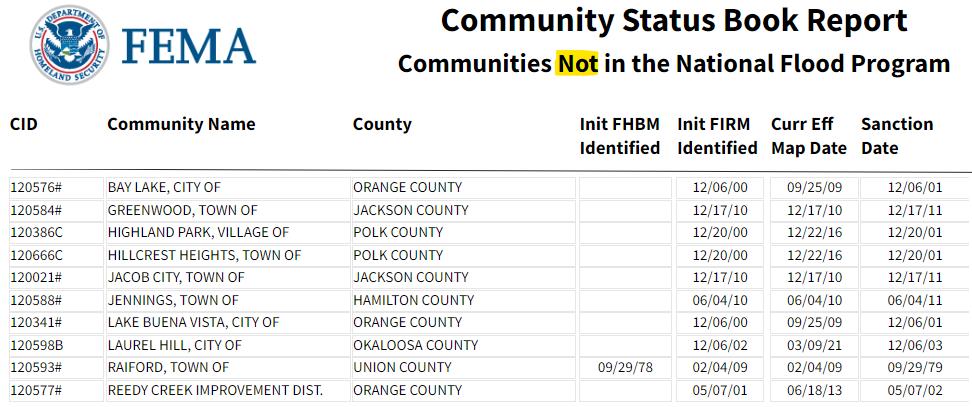
• Identifying areas prone to flooding
• Preserving nature’s floodplains: natural and beneficial functions
• Regulating development
• Maintaining flood maps as areas change due to development
• Developing disaster preparedness plans
• All Development within the Special Flood Hazard Area (100year floodplain) is Regulated

• Buildings and Structures
• Subdivision of Land
• Site Improvements (clearing & grading)


• Utilities
• Any other Development




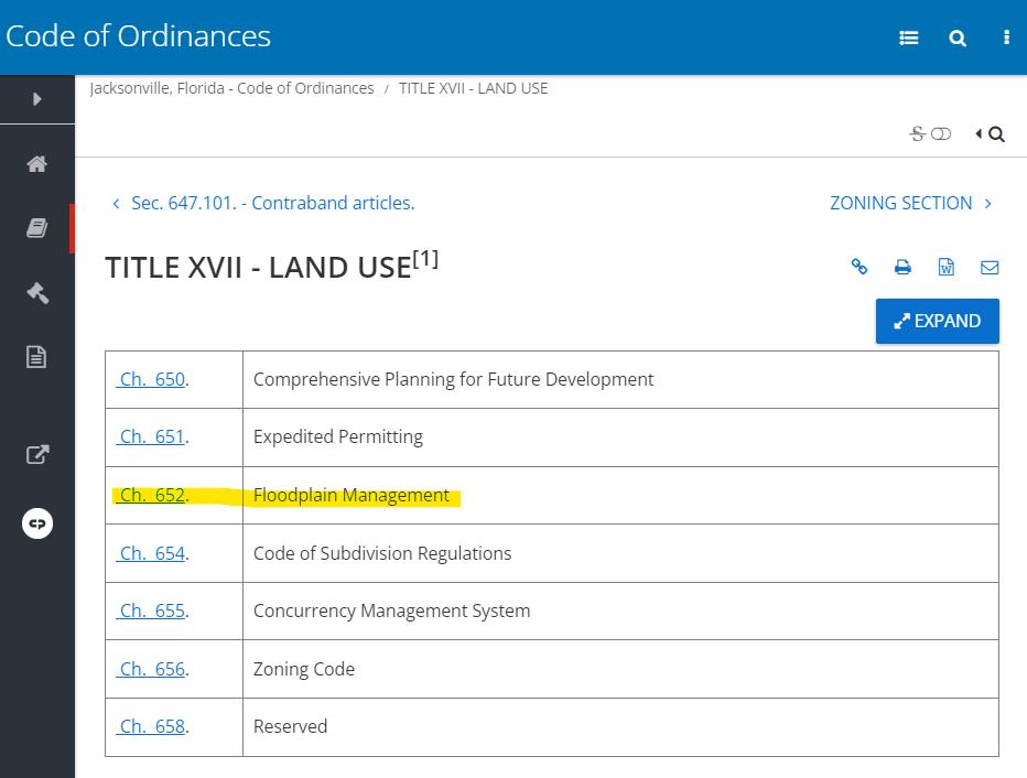
• Locate your FPM Ordinance
• Minimum NFIP Requirements (44 CFR
60.3)
• Who is your Floodplain Administrator?
• City/County Manager

• Community Development Director
• Building Official

• Mayor

• Director of Planning
• The Chief of the Development Services Division (duties may be delegated or contracted out)
• Check your local ordinance
• Freeboard (residential and/or non-residential)

• Floodproofing (non-residential or non-habitable residential)
• Compensating Storage
• Cumulative Substantial Damage/Improvement
• Regulating the 500-year floodplain
• Increased setbacks from riverine or coastal flood hazards
• Florida Building Code

• Freeboard (BFE plus one foot)
• Elevated or Watertight Utilities
• May require determination of BFE in approximate A Zones
• Manufactured Homes


• Purpose
• Demonstrate compliance with FPM regulations
• Flood insurance rating
• CRS Compliance
• FEMA Letter of Map Change (LOMC)
• When is a certificate required?
• Certification of Elevation is required for all structures that are required to elevate; Design professional’s certification is required for all structures that require floodproofing (FEMA’s Certification forms are preferred since these forms fulfill insurance and NFIP requirements)
• FEMA’s certification forms are required within CRS communities
• Where can I find FEMA’s Forms?
• https://www.fema.gov/glossary/elevation-certificate
• https://www.fema.gov/glossary/floodproofing-certificate
• FEMA’s new Elevation Certificate (includes Sections H & I)
• Should be used now through June 2026 (per July 7, 2023 mandate)
• Errors in the form have resulted in an extension (old form may be used through November 1, 2023)
• How do I interpret FEMA’s Elevation Certificate?
• Instructions included with the form
• EC Basics Course (flfloods.org)

