


 Brenda DefoeSurprenant
Kelley Klepper, AICP
Macy Falcon, AICP, CFM
Kyle Harris
Zachary Eichholz






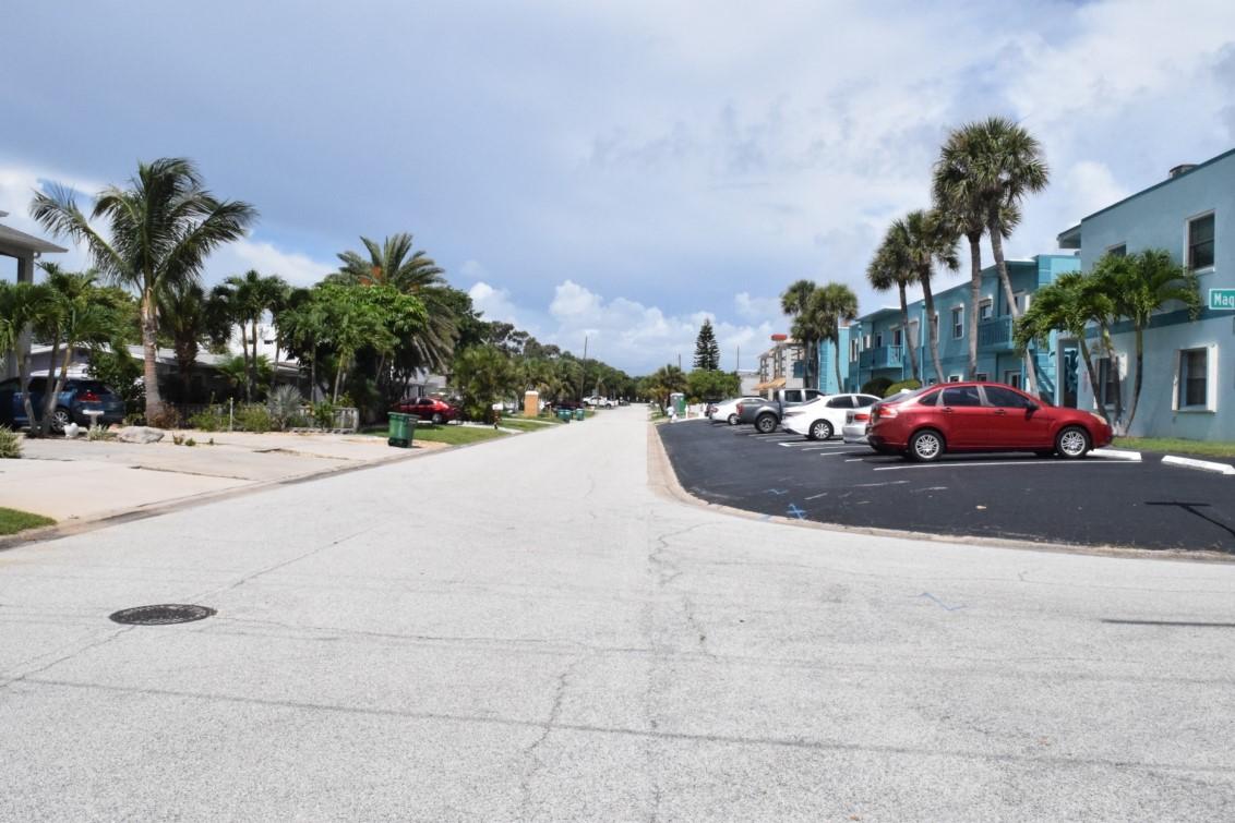
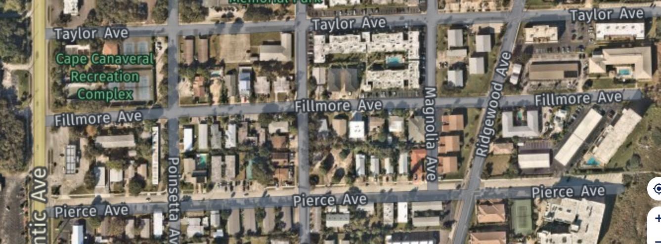

VULNERABILITY ASSESSMENT COMMUNITY ENGAGEMENT
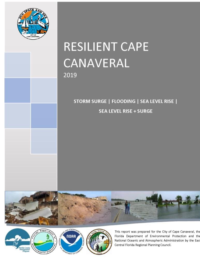

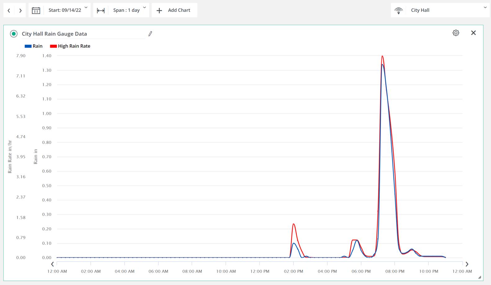
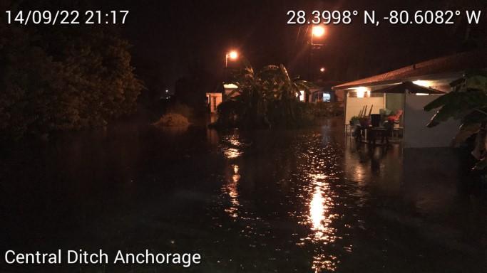
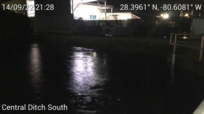
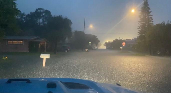
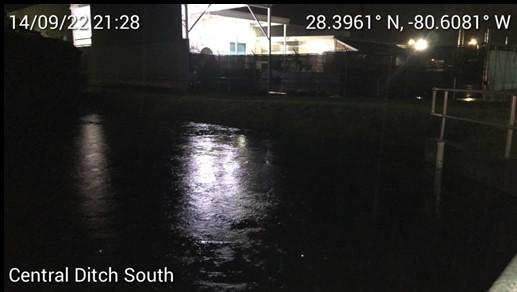
RECENT FLOODING


Critical Facilities
Flood Hazards & Storm Surge Risk
Transportation
Characteristics & Facilities
Social Vulnerability
Transportation Improvements

Policy Solutions
TRANSPORTATION INFRASTRUCTURE
FLOOD HAZARDS
Green Infrastructure
SOCIAL VULNERABILITY
CRITICAL FACILITIES
Utilities Improvements

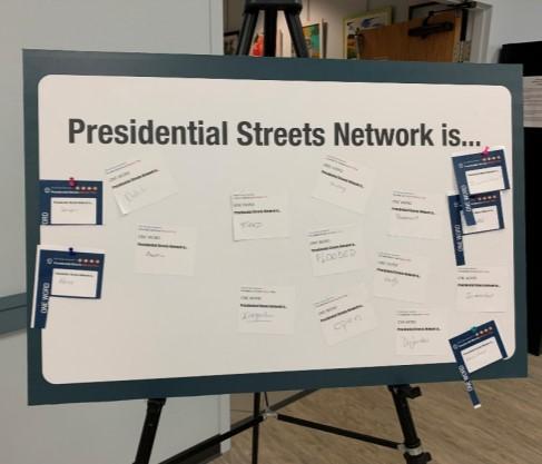
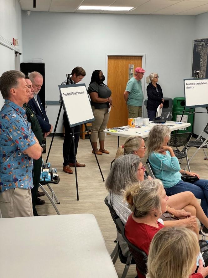
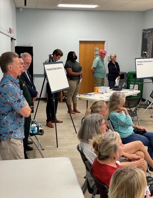
PUBLIC WORKSHOP
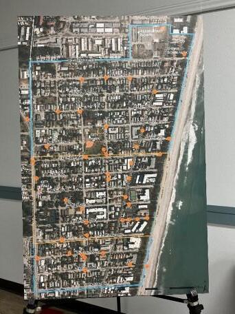
February 23, 2022
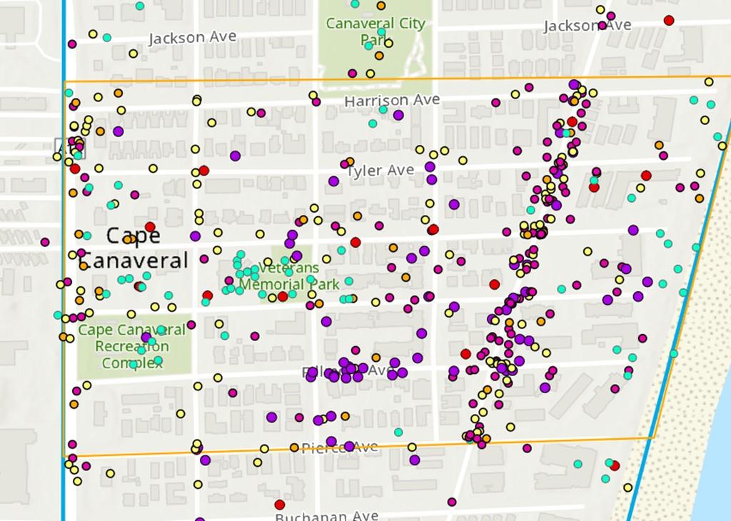
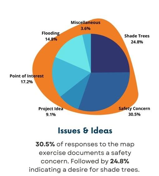
ONLINE SURVEY & MAP

January 3 –
March 11, 2022


➢ Heat Mitigation and Adaptation Strategy
➢ Sea Level Rise Mitigation and Adaptation Strategy
➢ Urban Flooding Mitigation and Adaptation Strategy
➢ Air And Water Pollution Reductions
➢ Stormwater Runoff Controls
➢ Pedestrian Safety Improvements
➢ Multi-Modalism
➢ Biodiversity Increases (via LID)
➢ Economic Development
➢ Long-term Risk Reduction and Mitigation
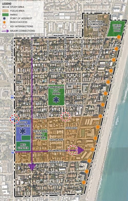
Intersections:
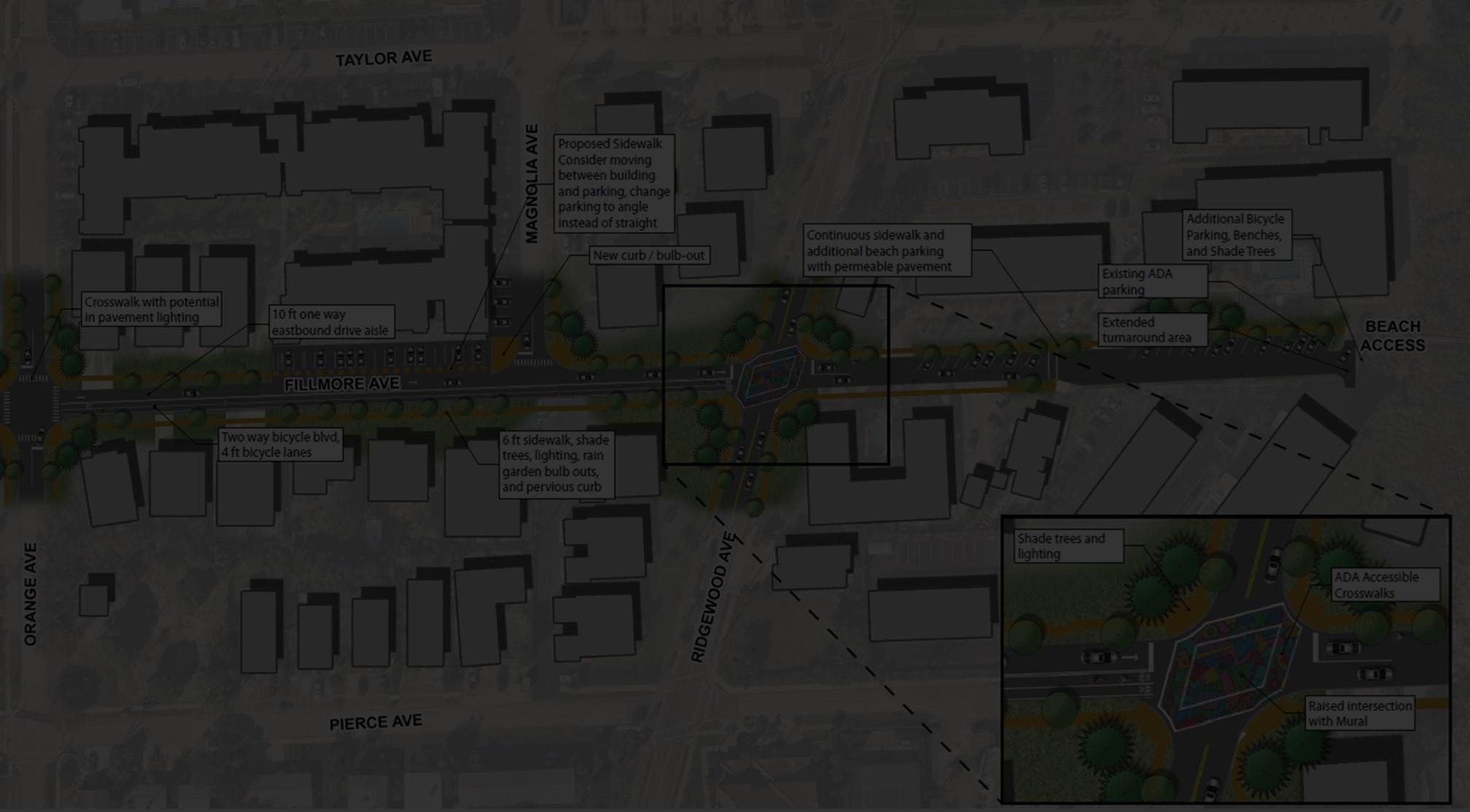
1. Ridgewood Ave at Fillmore Ave
2. N Atlantic Ave at Tyler Ave
3. Magnolia Ave at Tyler Ave
Streets:
4. Fillmore Ave (one-way option, two-way option, and beach end)
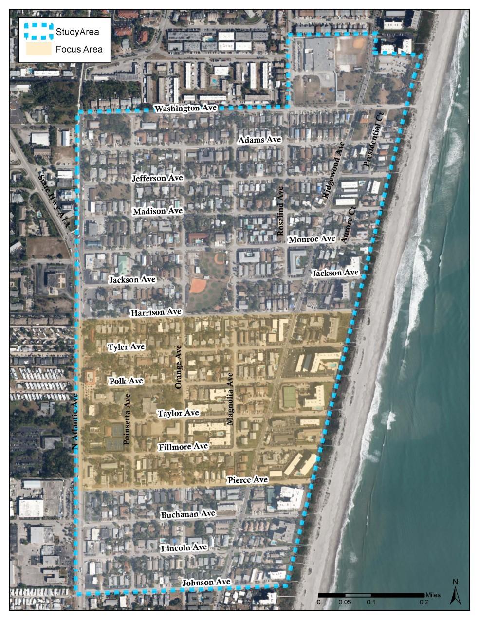
5. Poinsettia Ave

Pedestrian/Bicycle Improvements
Roadway Improvements
Intersection and Crossing Improvements
Placemaking Design Improvements

Traffic Calming Tools
Beach Ends
Stormwater Improvements
Resiliency Improvements