The XVII century Hacienda Perodias in south-western Colombia and its contested memory. New functions and transformation processes
Daniel Lozano | S276685 MSc Architecture Construction City

The XVII century Hacienda Perodias in south-western Colombia and its contested memory. New functions and transformation processes
Daniel Lozano | S276685 MSc Architecture Construction City

COLLEGIO DI ARCHITETTURA Master of science program in Architecture Construction City
The XVII century Hacienda Perodias in southwestern Colombia and its contested memory. New functions and transformation processes
Supervisor
Prof. Carla Bartolozzi
Corso di Laurea Magistrale in ………………… Tesi di Laurea Magistrale Titolo
Candidate Daniel Lozano Abella | S276685
Relatore/i prof. nome e cognome Candidato/i nome e cognome
Academic Year 2021/2022
Anno Accademico aaaa/aaaa
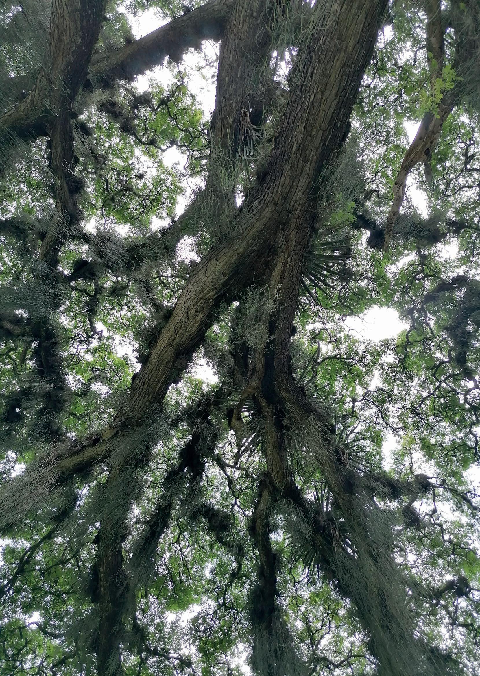
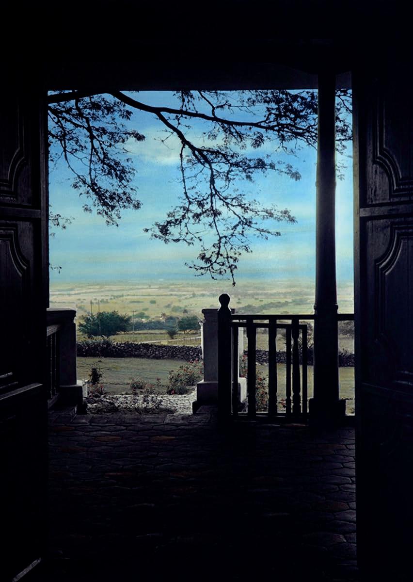
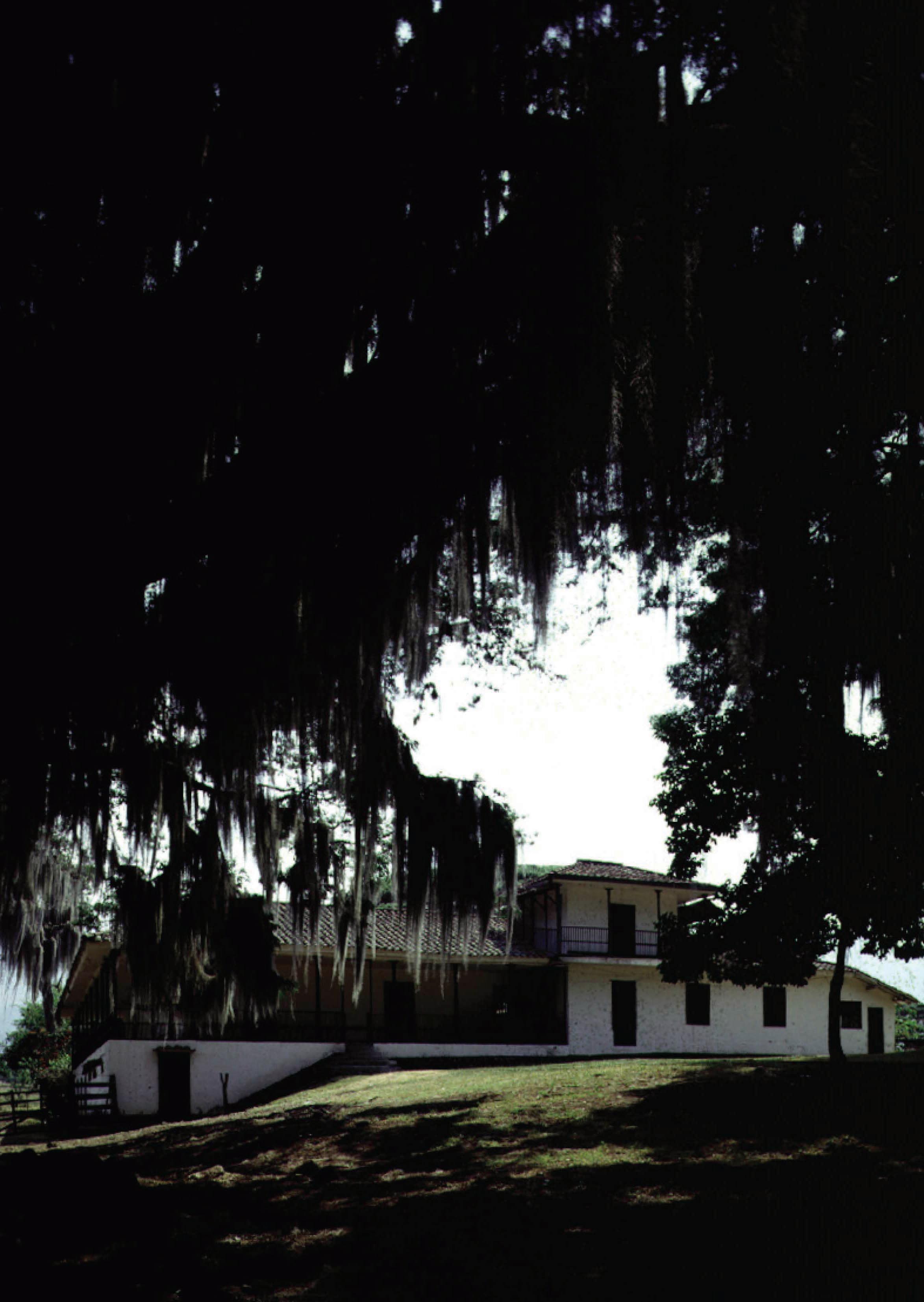
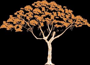
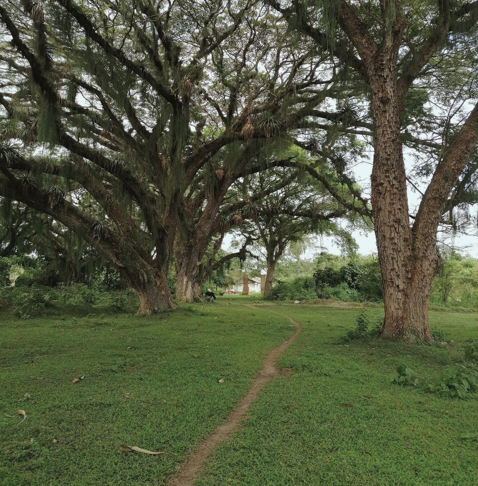
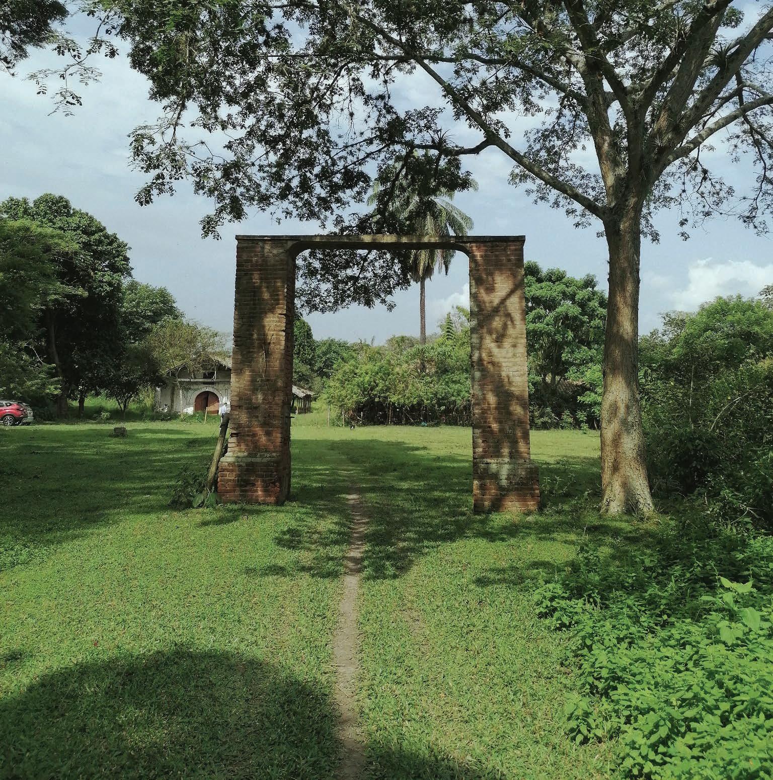
Previous page, [Figure 1] Samanea Saman. A tree characterized for the spread of its branches that can extend more than 20 m. It was commonly placed rhythmically along the promenade that characterized the access to a Hacienda.
The present work revolves around the protection and adaption of the Hacienda Perodias, an old farmhouse from the XVII century that is located in southwest Colombia. Besides being part of the nation’s rural built heritage, this building complex is connected also to the processes of evangelization and slave trade carried out at that time in South America. In order to illustrate how profound this embodied memory is translated into today’s social and cultural dynamics, this work is organized into three parts. The first, standing from a broader scale, covers the socio-geographical scenario in which this typology of building, the Casa de Hacienda, emerged and the social meanings that have been attached to it throughout time. Next, entering the scale of the constructed object, the second part focuses on the geographical, historical and architectural dimensions of the farmhouse in addition to the analysis of its current condition. All this is in order
to properly understand the scope of the adaptation possibilities that this object that has been abandoned for more than two decades may have, opportunities that are contained in the final part of this work.
In a quest to re-signify the collective memory linked to its spaces, the third and final part presents the proposed intervention of the Hacienda as a large ecopark, a refuge for wildlife and low-impact human activities, which lies at its heart the architectural complex of Perodias, now revitalised as a community centre. By giving a new life to this site, the project would seek to protect both a built heritage represented in its architecture and the cultural values shared by the surrounding communities, whose history can also be found linked to the hacienda. As a new centre for the transmission of ancestral knowledge and cultural expressions that in turn aims to enhance the capacities and opportunities of its inhabitants, the Perodias hacienda would finally be reborn.
adaptive reuse; heritage; rural architecture; memory
The valley of the servants
The power of land: the colonial society
The role of Haciendas in the XVII Century
The complementary structures inside a Hacienda
The poetics and social imaginary of the haciendas
The construction of a national heritage
The current condition of the still-existing haciendas
General Information
The geographical scenario
Road to Chococito: approaching Perodias
The Casa of the Hacienda Perodias
The Architectural Complex
The Family House
The Indoctrination Chapel
The Warehouse
Four hundred years of solitude
The Historical Background
The Construction Phases
State of Total Abandonment
Decay Analysis of the Chapel
The regulatory framework
Analysis of the surrounding territory
Biodiversity: the real value
Vision of a precedent: the ecopark “Los Coclies”
A Sanctuary for life and culture
La Hacienda de las Artes
Adaptive reuse intervention proposal
Getting closer to reality
Dialogue between the past and future
BIBLIOGRAPHY
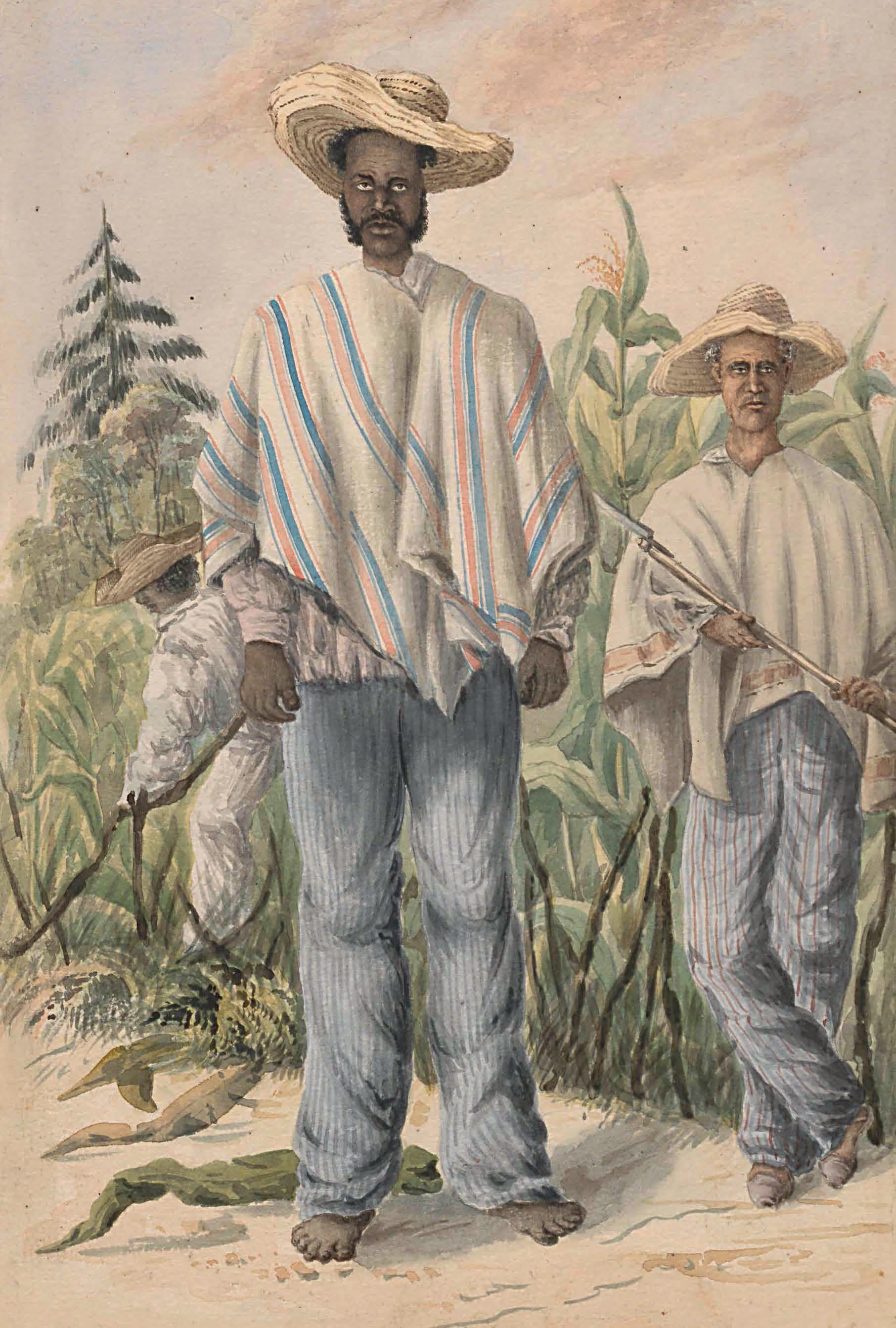
Page 10,[Figure 2] Two peasants depicted in the work ‘Río Negro, provincia de Córdoba’ by Henry Price, watercolour technique, 1994. National Library of Colombia.
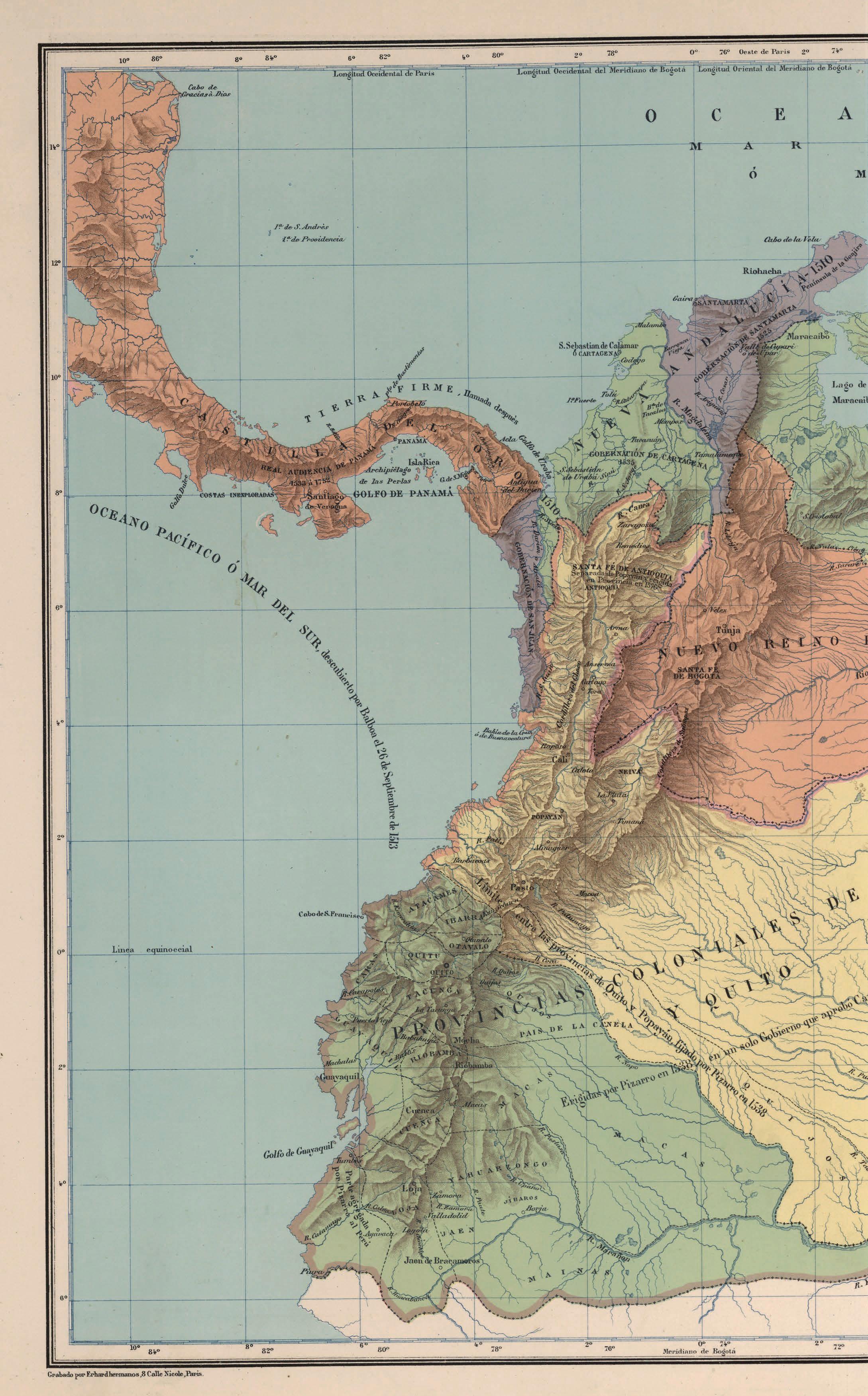
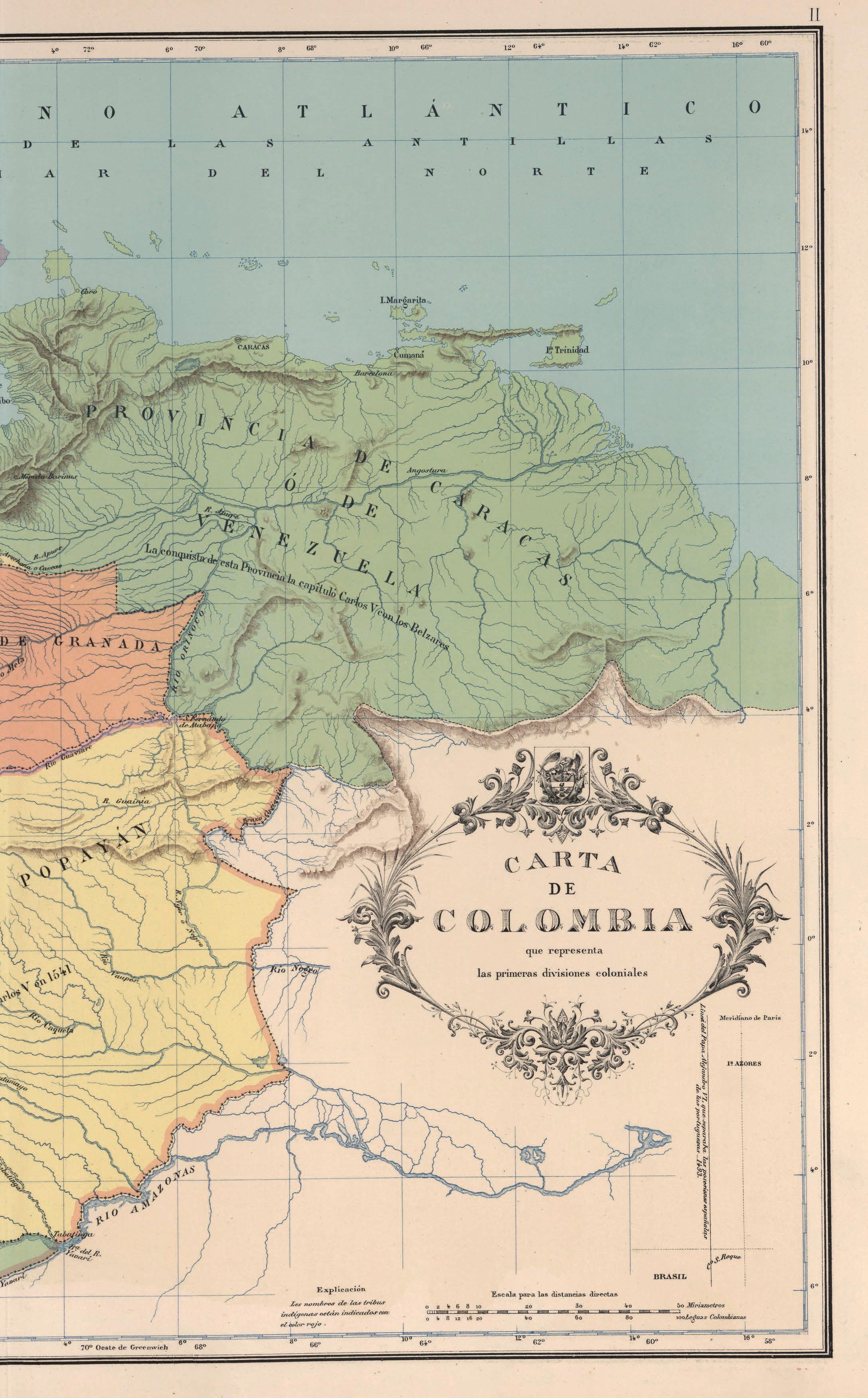
Pages 12-13, [figure 3] Map of the territorial divisions in the region that comprises today’s Colombia. Drawing by Agustin Codazzi, 1890. Historical Archive Agustin Codazzi Institute, Colombia.
Colombia has historically been a point of conflict between peoples seeking, more than anything else, control and domination of its territory. Leveraged from the first moments of the Spanish conquest in the mid-XV century, this situation has been the underlying argument for many of the different processes that centuries later consolidated the social structure and the way resources were distributed between social classes and into the regions. The great social gap that this scenario generated was also the fuel that ignited the longest-lasting internal armed conflict in the country. With a duration of more than 60 years and more than seven million victims of forced displacement, it can be said that this last struggle that is again sustained in land tenure represents one of the most painful eras for the country’s population. However, since the end of the last decade, new political positions on how to deal with the internal conflict have opened the way to initiate a national process of reparation, reconciliation, joint construction of this recent history and the subsequent reconstruction of the collective memory.
Colombia is currently undergoing a process of transition in which reparation and social justice are the structural axes of new public policies. It is within this context that the purpose of this project is positioned: what is the role of architecture in the development of post-conflict
society and how can it respond adequately to the new social needs, which require the creation of new meanings and ways to enhance social retribution? Through the adaptive reuse intervention of a building complex, besides found in a region involved in such historical processes, the project attempts to give some possible answers to these questions while broadening the discussion about the role of architects and cultural heritage in this new era for Colombian society.
As a starting point in this process, the former Perodias farmhouse was selected as the appropriate case study for the development of such purposes. This is mainly due to some of the most relevant considerations that emerged from the historical analysis: originally built during the XVII century, this type of building, today a national heritage site, is historically connected to the processes of territorial domination that were carried out from the time of the conquest and colonisation of this part of the region, through the internal struggles that sought the consolidation of these lands as an autonomous nation at the beginning of the 19th century, to the processes of regional industrialisation and the upsurge in violence in the second half of the 20th century. Likewise, this building complex was at the time the symbolic representation of dominion in the territory, understood as the centre of administration of agricultural activities that were also
carried out with slave labour. In this Casa de Hacienda, it is possible to see these historical moments materialised in what is still built today, buildings that have also been left in oblivion due to the same processes.
It is precisely due to the state of abandonment in which it is found that the utilitarian reason for proposing a new destiny for these spaces is suitably linked to the project’s intentions to participate in the social processes experienced there at the time.
The most appropriate way to obtain an overview of the socio-economic scenario in which the selected case study, the Casa de Hacienda Perodías, was built may be relevant to approach this scenario from the analysis of three different components: 1. the place and the type of society that was developing during the XVII century in particular geography such as the Upper Cauca River Valley, a territory in which emerged 2. the building typologies, the Casas de hacienda, technologically tied to this landscape and to some meanings built mainly by how that society was structured. Then, how 3. these meanings evolved as they were also adapted to the political and social modifications of the territory.
The power of the land: the colonial Society
Reaching this region means approaching it by crossing a pair of mountain ranges, either coming from the west, from the port on the Pacific Ocean; from the south, coming from the provincial capital, Popayán, or perhaps from the
distant Viceroyalty of Peru; or from the east, en route from the capital of the New Kingdom of New Granada, Santa Fé (Bogotá). The arrival in this geographical valley, formed in the dilation of the western and central mountain ranges, would have been inspirational material for one of the most prominent writers of Latin American romanticism at the end of the XIX century, Jorge Isaacs, a moment that he would record in his book “María” as follows:
The sky had a pale blue tinge; towards the east and over the towering crests of the mountains, still half mourned, wandered little clouds of gold, like the gauze of a dancer’s turban, scattered by a loving breath [...]. The herons left their roosts, their flights forming undulating lines that silvered the dawn, like ribbons left to the whim of the wind. Flocks of parrots rose from the bamboo thickets to go to the neighbouring cornfields, and the diostedé greeted the day, with its sad song, from the heart of the jungle. [...] The full moon that had
Page 14,[Figure 4] Vanishing from the interior of the Hacienda ‘El Paraiso’
1994.
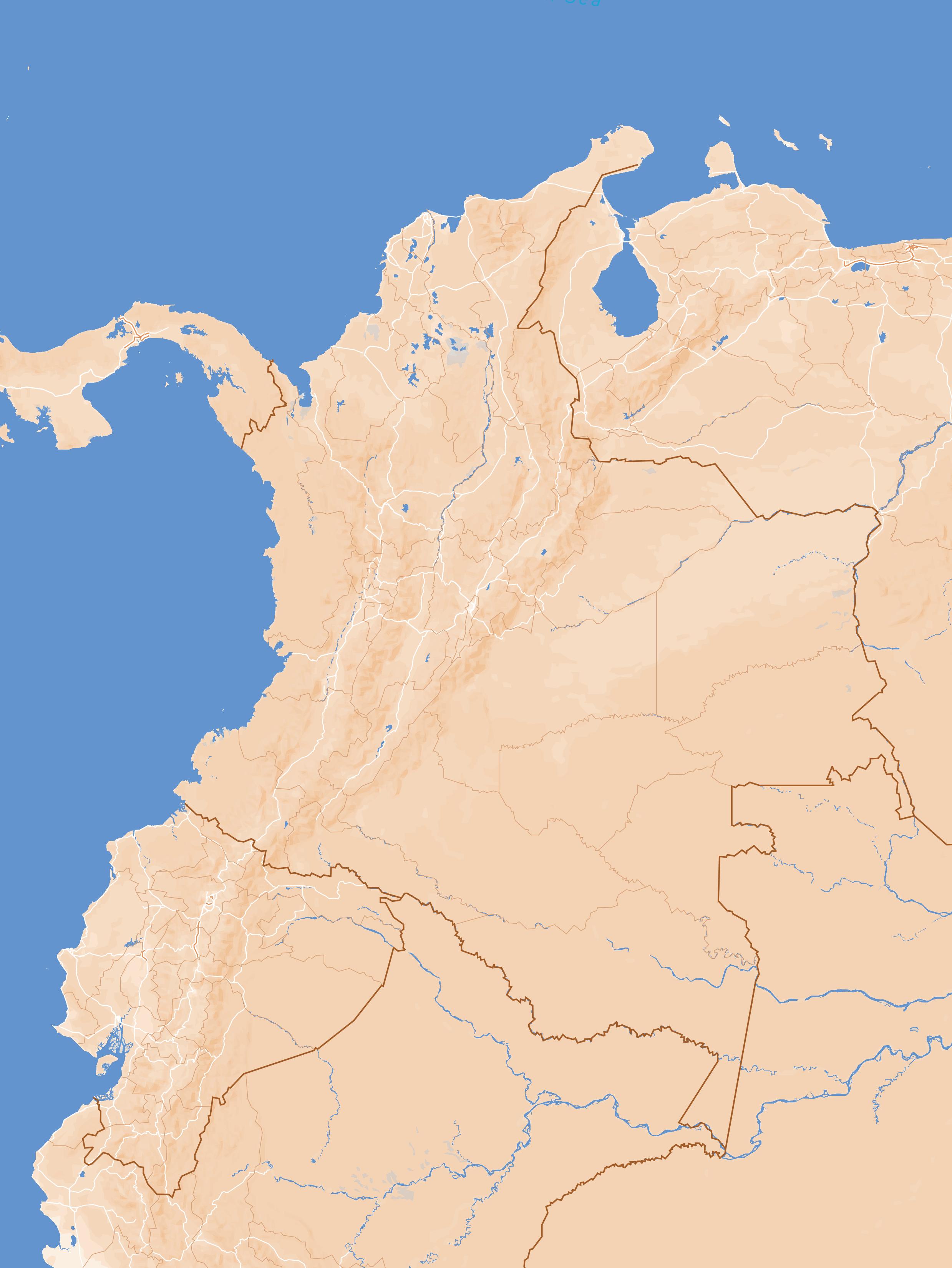
Previous page, [Map A1] The Country. The main urban centres and the main trading routes during the Colonial period (XVI to XVIII centuries) are highlighted. Drawing by the author, 2022.
just risen under a deep sky over the mourning mountains, illuminated their foothills, silvering the foams of the torrents and spreading its melancholic clarity to the bottom of the valley. The plants exhaled their softest and most mysterious aromas. The silence, interrupted only by the murmur of the river, was more pleasant than ever in my soul. 1
By the XVII century, Spanish occupation of this landscape was limited, as many territories were heavily defended by native tribes. From the point of view of its organisation and economy, although close to a rich mining region as was the area where Popayán developed, the society of the upper Cauca river valley was distinguished mainly by its agricultural and pastoral character, in which cattle raising was its main economic activity. As the land was so valuable due to its potential for exploitation, land ownership was a sign of power and wealth. Furthermore, this society developed in a transition zone within the slave trade route connecting

Popayán with Cartagena, the main port on the Caribbean coast. 2 This was a key factor in the introduction of slaves as a force for the exploitation of the land, who would come to replace the indigenous labour force, decimated by disease or the harsh punishments of their masters. It is precisely through the land, the conflict to obtain it, exploit it and its distribution, that one can begin to visualise the symbolic power represented by constructions such as the Casas de hacienda at that time.
At the same time, when observing the moral and religious component of this area, its participation as an influential factor in the appearance and constitution of this type of construction in the territory is relevant. The religious orders were present in this territory, carrying out the evangelisation of the tribes that were simultaneously subjected to agricultural production as a way of sustaining their religious enterprise. In the case of the Jesuits, also present in this area until before their expulsion from the Spanish colonies in 1787, they were owners of agricultural and livestock lands; they were
[1] Jorge Isaacs, María (1867, freeditorial, 2013).
[2] Benjamín Barney and Francisco Ramirez, La Arquitectura de las casas de hacienda en el Valle del Alto Cauca (Bogotá: El Áncora Editores, 1994), 26.
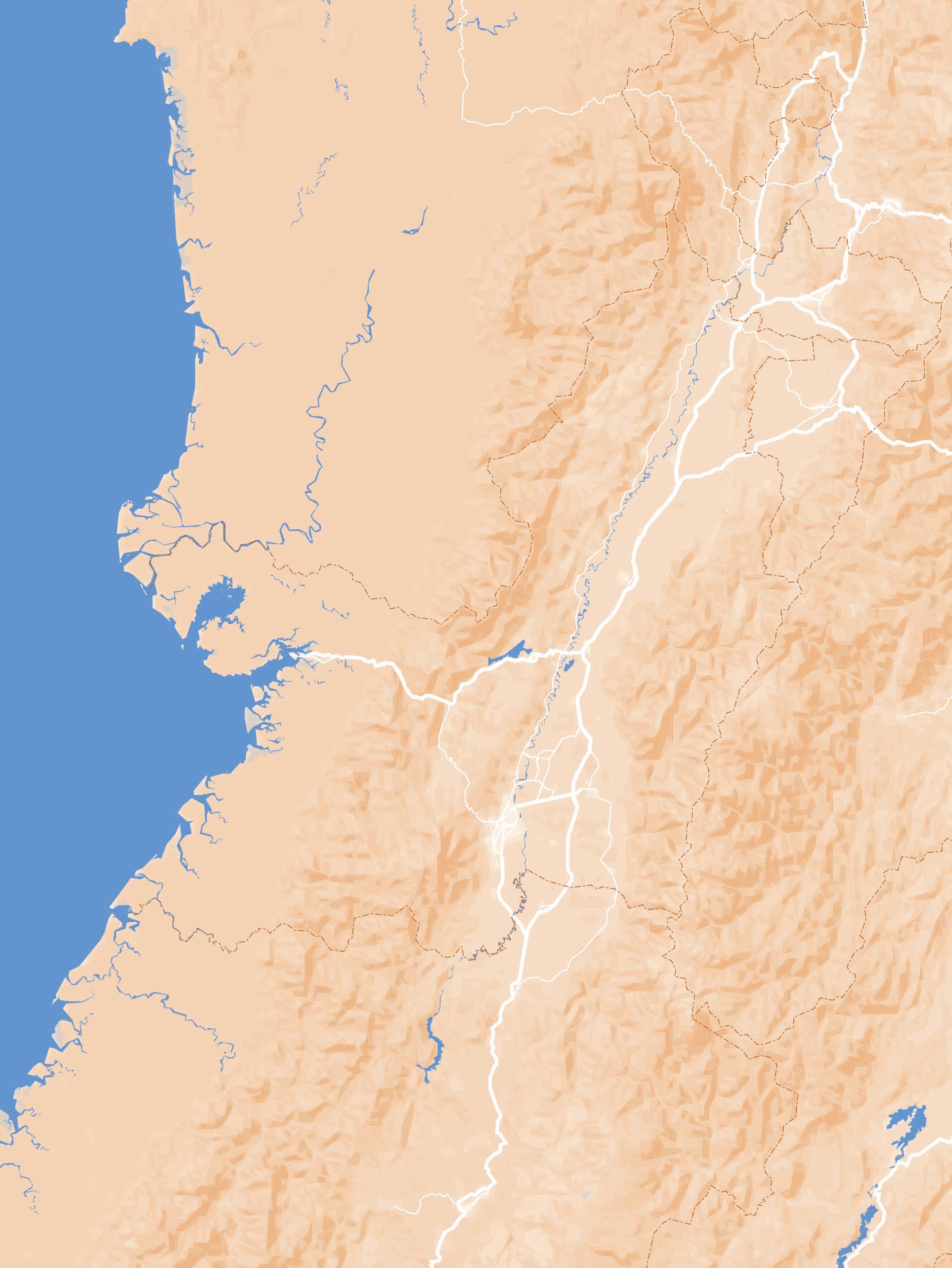
Previous page, [Map A1] The Region, the Cauca River upper valley, and its main urban centres by the XVII century. It is important to notice their connection to the trading routes that come from the Pacific area. Drawing by the author, 2022.
directly in charge of the evangelisation of the indigenous populations that were integrated into society, but especially of the slaves that inhabited their haciendas, a labour force mainly used well into the XVII century. 3
Thus, to approach the understanding of the Casa de Hacienda as a human product, that is, as an architectural object, it is worth looking at them as objects that bring together certain spatial logic and construction techniques, aspects that also determined the type of character that these buildings represented for themselves and for colonial society. These structures deserve to be seen not as isolated facts in the landscape, but as an expression of collective values which, in addition to having transcended latitudes, were adapted and developed locally, especially within an economically closed and fundamentally peasant society such as the one developing in the Valle del Cauca. Behind their construction lay a building tradition that connects them to the construction of rural farmhouses
in the south of the Iberian Peninsula. These construction techniques were first imported by the owners of these houses and the craftsmen in charge of their construction and then adapted according to the geographical and climatic components that distinguished the valley at that time. Based on the materials available in the region (plant fibres, earth, sand and stones), these techniques brought by the Spaniards were later translated into construction techniques that acquired a richness and rationality of their own. 4
The Casas de hacienda, being the very representation of the dominion over the land, as the standard of the landowner who owned it, can be analysed from their spatial distribution, which in turn would present certain typological variations over time in parallel to the techniques for their construction. The complexity of the activities and needs within the house would also relate them to other volumes that accompanied it, the complementary buildings of the hacienda: the chapel, the trapiche, the stables and warehouses, the portals, the aqueducts, the gardens and the pools, the latter integrated in a late period in the development of the haciendas.
[3] Germán Colmenares, Las Haciendas Jesuítas En El Nuevo Reino de Granada (Bogotá: Universidad Nacional de Colombia, 1969), 83.
[4] Barney and Ramirez, Arquitectura casas de hacienda, 28.
Previous page,[Figure 5] Approximation to the Hacienda ‘La Esmeralda’. Photo by Antonio Castañeda, 1997.
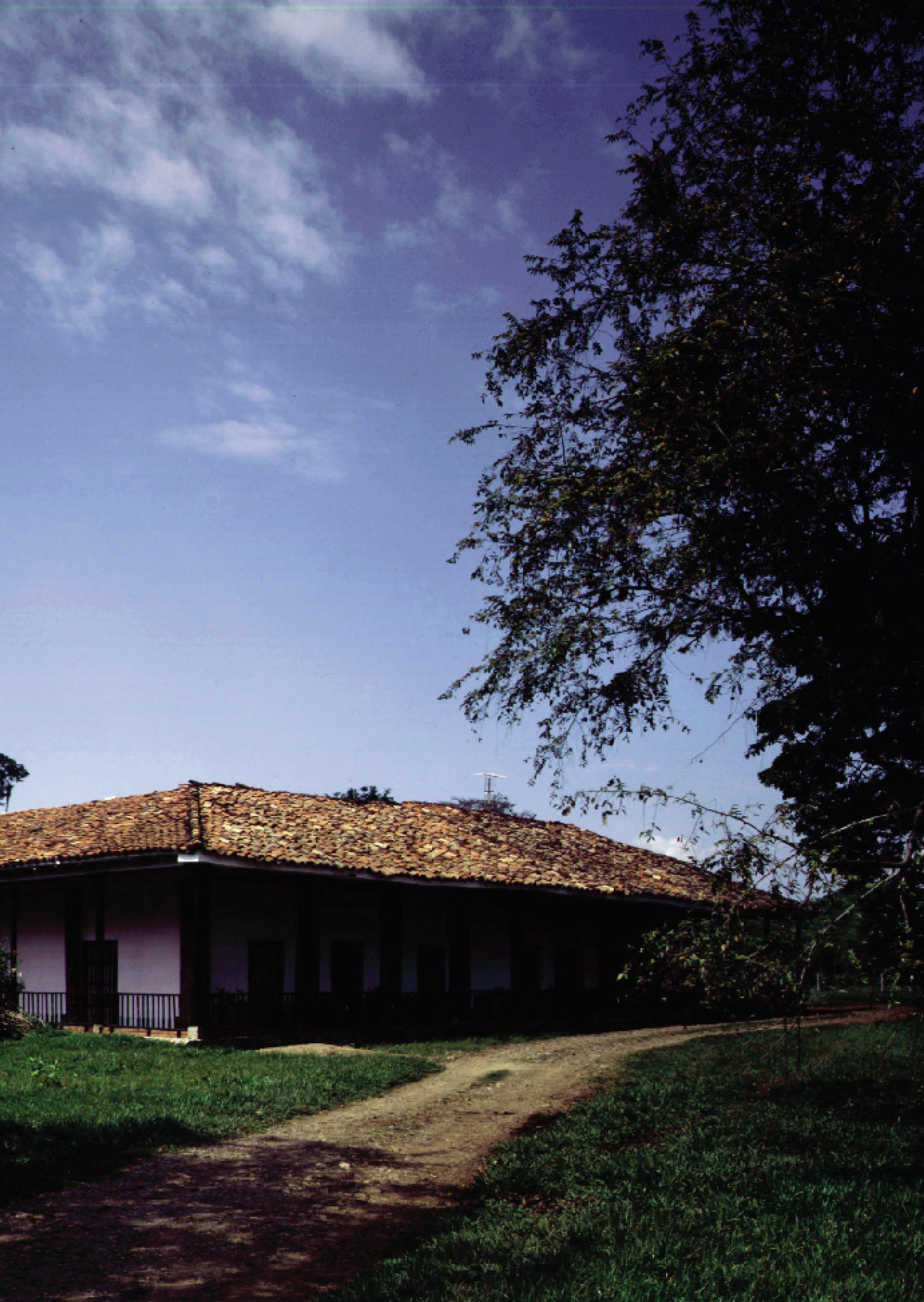
Throughout the colonial period, the Casa de Hacienda was the representation of the absolute power of its lord over the territory in which it stood. This path would later pass through the imaginary created around them by the arts at the end of the XIX century, influenced especially by the romanticism coming from Europe and which would stand out above all in literature, whose role was decisive in the creation and recreation of these imaginaries within republican society. The literary works “María” (1867), written by Jorge Isaacs, and “El Alférez Real” (1886) stand out at that time.
With the transformation of some of the haciendas into sugar mills, the poetic values that were linked to them would be overshadowed by the industrial development of the region, which would have its splendour towards the middle of the century. During the second half of the XX century, they would become objects
of nostalgia for an idealised colonial past, an imaginary represented by the creation of audiovisual productions that used the hacienda houses and the life that took place in them as the backdrop for their stories. 5 It was not until the end of the XX century that the social imaginaries of the hacienda houses also became the subject of cultural and academic discussion. At this time, the first studies were produced on their architecture, seen by then as a cultural legacy linked to the historical development of Colombian society, as well as some television productions where their stories focused on the daily life inside the haciendas. The contemporary vision of the hacienda houses today perceives them not only as an architectural heritage that is recognised mainly for its aesthetic values, its materiality, but also for being an example of a building tradition that was inherited and moulded over time, and which was ultimately connected to the place where it was located. 6
[5] Barney and Ramirez, Arquitectura casas de hacienda, 70.
[6] Barney and Ramirez, Arquitectura casas de hacienda, 70.
Previous page,[Figure 6] Approximation to the Hacienda ‘Cuprecia’. Photo by Antonio Castañeda, 1997.

The development of the idea of cultural heritage in Colombia has followed a long path since its emergence during the first two decades of the XX century. From archaeological artefacts, works of art and historical documents to the cultural manifestations and traditions of communities in a region, the evolution of this notion has simultaneously implied the continuous broadening of its scope, the enhancement of the public institutions involved in its management and the engagement of the communities in that process, as well as the coordination with the progressive international parameters and guidelines that have emerged especially since the first half of that same century.
The first approximation to the idea of a national cultural heritage concurred with the advent of cultural Internationalism encouraged after the creation of the League of Nations. In 1920, the country regulated the handling and management of documentary material and art objects found in museums, archives and libraries, focusing principally on those considered “objects of historic or artistic interest.” 1 In an attempt to halt the constant plundering of valuable archaeological objects, the country endorsed the preHispanic monuments of San Agustín, “the largest group of religious monuments and megalithic sculptures in South America,” 2 as objects of public interest in 1931.
Five years later, Colombia joined a first International Cooperation Agreement specifically on tangible heritage, the Treaty of Protection of Movable Assets of Historic
[1] Colombia, Congress, Normas sobre Patrimonio Documental y artístico y sobre bibliotecas, museos y archivos, Prohibiciones, Law 47, adopted 30 October 1920
[2] “San Agustín Archaeological Park,” UNESCO World Heritage Convention, accessed 13 June 2022, https://whc.unesco.org/en/list/744.
Previous page,[Figure 7] Hacienda ‘El Hato’. From the interior, a vanishing point towards the exterior areas, focusing on an isolated tree in the distance.
Photo by Fernell Franco, 1994.
Value, defined during the 7th International American Conference, held in Montevideo in 1933. This accord determined as movable monuments the objects belonging to the pre-Columbian, Colonial (1510 3 1810) and Early Republic periods (1810 1886). In addition, endangered animal species were considered part of the movable richness existent in the country, a first glance to what is going to be referred to as natural heritage some decades later.
Precisely, the term heritage was included in legislative texts for the first time in 1959 with the issuance of Law 163, which dictated “measures for the defence and conservation of the historical and artistic heritage and public monuments of the nation.” In this document, it was declared as a national monument a more diverse group of elements: a collection of pre-Hispanic archaeological objects, buildings and urban areas historically connected to the XVI and XIX centuries and natural reserves. Despite the effort of the Nation to broaden the scope of cultural heritage in the Colombian context, the first official definition of this concept would come almost forty years later.
In the meanwhile, the country constantly followed the different progress in the field of cultural heritage that were consented during international meetings. The outcome of those encounters would have a significant influence on the way how the construction of a national definition of cultural heritage in Colombia, and the
formulation of a legislative framework and suitable policies in its favour evolve. Of all the meetings dedicated to that issue, Colombia has accepted six conventions between 1946 and 2022: The 1970 Convention on the Means of Prohibiting and Preventing the Illicit Import, Export and Transfer of Ownership of Cultural Property and the 1972 UNESCO Convention for the Protection of World Cultural and Natural Heritage (both accepted in 1983), the 1954 Convention for the Protection of Cultural Property in the event of Armed Conflict (in 1996), the 1999 Second Protocol for the 1954 Hague Convention (in 2004), the 2003 UNESCO Convention for the Safeguarding of the Intangible Cultural Heritage (in 2006) and the 1995 UNIDROIT Convention on Stolen or Illegally Exported Cultural Heritage (in 2009).
During the same time period, Colombia has progressively arranged the internal legal structure required for the proper management of the existing cultural heritage. First, with the promulgation of a more multicultural Colombian Political Constitution in 1991, the State determined the civil and governmental obligations under the management of its cultural and natural heritage, part of the nation’s identity ever since. Further on, the enactment of the General Law of Culture in 1997, and its following update in 2008, besides stating the legislative framework concerning the cultural heritage, proclaimed a reformulated definition of
[3] This date refers to the foundation of the first Spanish settlement in mainland America, Santa María La Antigua del Darién, in 1510. That event could be considered as the beginning of the Spanish occupation of that part of the continent.
this concept, which still remains in force. In Law 1185 of 2008, the official definition is presented as follows:
The cultural heritage of the nation is made up of all tangible assets, intangible manifestations, products and representations of culture that are an expression of Colombian nationality, such as the Spanish language, the languages and dialects of the indigenous, black and Creole communities, the tradition, ancestral knowledge, cultural landscape, customs and habits, as well as tangible assets of movable and immovable nature to which are attributed, among others, special historical, artistic, scientific, aesthetic or symbolic interest in areas such as plastic arts, architecture, urbanism, archaeology, linguistics, sound, music, film and audiovisual arts, literature, museology or anthropology. (Article 1°, modifying article 4° of Law 397 of 1997)
Between the second half of the XX and the first two decades of the XXI century, multiple governmental agencies emerged in compliance with the international conventions signed by the country: in chronological order, the Council of National Monuments (1959),
the Colombian Institute of Culture (1969 1997), the General Archive of the Nation (1989), the Ministry of Culture (1997), the Colombian Institute of Anthropology and History (1999), the National Crosssectional Commission of World Heritage (2005) and the National Council of Cultural Heritage (2008), to name a few.
Currently, the head agency in control and management of cultural heritage in Colombia is the Ministry of Culture. In order to guarantee its protection, safeguarding, recovery, conservation, sustainability and dissemination, this public entity has gathered all the actors involved in such processes, the institutional set of instances and procedures, and the distinguished assets and manifestations into a logical network, the National Culture Heritage System [SNPC is the acronym in Spanish], integrated in 2009. In addition, the SNPC implements “training and dissemination programs to encourage the civil and institutional involvement in the processes of assessment and reflection on the cultural heritage,” as a means to enhance its social appropriation. 4
Likewise, through that system, the Ministry of Culture supplies communities with the proper tools to advocate for their own cultural heritage and thus participate in the consolidation of an updated inventory of movable and immovable commodities and all intangible expressions recognised at the national and regional levels so far.
[4] Colombia, Ministry of Culture, Por el cual se reglamentan parcialmente las leyes 814 de 2003 y 397 de 1997 modificada por medio de la Ley 1185 de 2008, en lo correspondiente al Patrimonio Cultural de la Nación de naturaleza material, Decree 763, adopted 10 March 2009, art. 2.
Furthermore, Colombia, a state party of UNESCO since 1983, has 9 properties inscribed on the World Heritage List. There are 6, 2 and 1 assets in the categories of Cultural, Natural and Mixed respectively, the first to be inscribed being the Port, Fortresses and Group of Monuments in Cartagena, in 1984. In addition, there are 11 other sites on the Tentative List so far.
From the analysis of the metadata of Casas de Hacienda available in the Cultural Information National System managed by the Ministry of Culture, 5 it is possible to realize that, in terms of its tangible immovable heritage, Colombia has identified 7601 properties as BIC, Bienes de Interés Cultural [Assets of Cultural Interest]. In turn, this inventory has arranged these assets into 6 groups: architectural, urban, archaeological site, natural site, historical site and cultural landscape, of which 6897 properties correspond to the architectural type. However, only 14% of the total number of assets inserted in the architectural group have been declared national heritage. In addition, less than 3% of the properties that integrate the same group correspond to the Casas de Hacienda that are disseminated throughout the national territory.
Despite the growing interest in their study and protection in recent decades,
the scarce presence of these old rural dwellings in the governmental inventory is a demonstration of the minor place that this architectural heritage, and rural architecture in general, occupies with respect to urban construction, both in the popular consciousness and in the cultural media. 6 This document, in particular, aims to contribute to the enhancement of this perception so that it is possible to reflect on a culturally sustainable future for this built heritage.
There are hundreds of Casas de hacienda in the country that make up a vast but highly threatened cultural heritage. The interest in their study and protection has been a process initiated more than half a century ago, especially in the few studies conducted on the haciendas in the Cauca River Valley. Much of this architectural heritage has been indiscriminately distorted and obliterated while the instruments to recognize and protect it were being defined.
Still today, certain haciendas continue to function as rural dwellings for the families to which they belong, though their size, maintenance and comfort are not suited to the current conditions. In
[5] “Immovable Assets Inventory”. Heritage Information System (SIPA, for its acronym in Spanish), accessed 13 June 2022 (Colombia), https://www.sinic.gov.co/patrimonio/Inventario/ InventarioInmueblesListado.aspx.
[6] Benjamín Villegas, Casas de Hacienda: Arquitectura en el campo Colombiano (Bogotá: Villegas Editores, 1997), 297.
1 El Alisal XVI Century El Cerrito (VA)* Present Abandonment 2 Cañasgordas XVII Century
Cali (VA) Demolished House museum 3 El Paraíso El Cerrito (VA) Demolished House museum 4 Perodías Florida (VA) Present Abandonment 5 No data Guacarí (VA) Parish House 6 García Abajo XVIII Century
Corinto (CA)** Present Residential 7 El Albión El Cerrito (VA) Residential 8 El Trejo Plata El Cerrito (VA) Residential 9 La Merced El Cerrito (VA) Residential 10 Piedechinche El Cerrito (VA) House museum 11 El Hato Pradera (VA) Abandonment 12 Cuprecia Santander de Quilichao (CA) Demolished Residential 13 Japío Santander de Quilichao (CA) Demolished Residential 14 Hatoviejo Yotoco (VA) Present Residential 15 La Julia XIX Century
Buga (VA) Residential 16 La Aurora Florida (VA) Residential 17 La Esmeralda Ginebra (VA) Residential 18 Garzonero Yotoco (VA) Residential 19 La Rita Palmira (VA) Residential 20 La Concordia Pradera (VA) Residential 21 Piedragrande XX Century Cali (VA) House museum 22 La Industria Florida (VA) Abandonment * Valle del Cauca department ** Cauca Department [Table 1] The current condition (2022) of the Haciendas declared as National Monuments in the Cauca River Upper Valley.
Salvajina Reservoir
Suarez Villa Rica
CAUCA VALLE
Farallones de Cali National Natural Park WEST MOUNTAIN
Corinto Toribío
Caloto
Padilla
Buenos Aires Pradera
Jamundí Puerto Tejada Miranda
Candelaria
Cali Santander de Quilichao Palmira Florida
CENTRAL MOUNTAIN Huila snow-capped peak National Natural Park
Las Tinajas Moorland Las Hermosas Moorland

other cases, these properties have been intervened to accommodate hotels, holiday houses, spiritual retreat centres and country clubs, In other cases, these properties have been adapted to house hotels, holiday homes, spiritual retreat centres, and country clubs, in general uses that in one way or another link this cultural heritage with the idea of exclusivity. In this context, the house provides a physical and environmental framework, a scenography of picturesque character, suitable for such purposes. 7
In a more technical-oriented position, many of these haciendas have been preserved to the point of becoming almost untouchable monuments, objects subject to a process of muséification that refuses further interventions and denies their re-signification as instruments of work and existential refugees, “freezing” the forms in the appearing “authentic” look that those in charge of such operations consider suitable to apply.
If one assesses the number of haciendas that have been dismantled, torn up, half-destroyed or abandoned on Colombian territory to date, it is possible
to realise that there are less than a quarter of the estimated number of haciendas that have been built since the first decades of the Colonial period. Many of these have disappeared due to the accelerated urbanisation process experienced in the principal population centres in the region during the XX century. Unlike the houses that are used with a defined regularity, a condition that ensures their monitoring and periodic maintenance at least, those that are abandoned “[...] not only have been affected by the passage of time, but their fundamental raison d’être -housing and symbol in the landscape of the ownerhas, for the most part, become a thing of the past.” 8
These neglected properties remain exposed to climatic conditions and to the intrusion of thieves and “treasure hunters” looking for entierros hidden in them. 9, 10 Besides the damage that water leakage generates in earth-based structures, those kinds of disruptions affect dramatically their integrity inducing their progressive collapse. In some cases, this process is also intentionally triggered by those interested in using their land for productive
[7] Ibid.
[8] Benjamin Barney and Francisco Ramirez, La Arquitectura de las casas de hacienda en el Valle del Alto Cauca (Bogotá: El Áncora Editores, 1994), 73.
[9] According to the Dictionary of the Spanish Language, the word Entierro means “buried treasure,” which in this context refers to the archaeological material found in the burial sites of indigenous communities that occupied the area in the past. Dictionary of the Spanish Language, “Entierro,” Royal Spanish Academy, accessed 13 June 2022, https://dle.rae.es/entierro?m=form.
[10] Benjamin Barney and Francisco Ramirez, “Las capillas y oratorios en las casas de hacienda” in Arte y Arquitectura Religiosa en el Valle del Cauca, ed. Sylvia Patiño (Cali: EditorSPatiño, 2007), 152.
purposes. As a result, there are more and more haciendas whose only testimonies are to be found in souvenirs, books, photographs and research documents. This condition of abandonment, together with the generalised lack of governmental interest in their rehabilitation, is one of the greatest threats to their successful protection.
In fact, according to the SIPA, the tangible immovable heritage embodied by the Casas de Hacienda is currently made up of 206 properties at the national level. Although the vast majority have been recognized locally as heritage monuments, only 42 of these in the whole country have been designated as BIC at the National level.
These dwellings emerged mostly in geographical regions that were suitable for the development of food production activities, such as the Altiplano Cundiboyacense [Cundinamarca-Boyaca High Plateau] and the Cauca River Valley. Besides, it was precisely in these regions where the character and symbolic significance of these structures took shape, though the constructive evolution within each territory followed its own way to adapt the same patterns and languages.
Zooming in the region of the Cauca River Valley, there are 29 haciendas distributed throughout the Cauca and Valle del Cauca departments, 22 of which have been designated as National monuments. This set of recognised rural housing units is precisely the target group that concerns the extent of the present study.
In addition, two graphical representations have been elaborated from the analysed metadata in order to
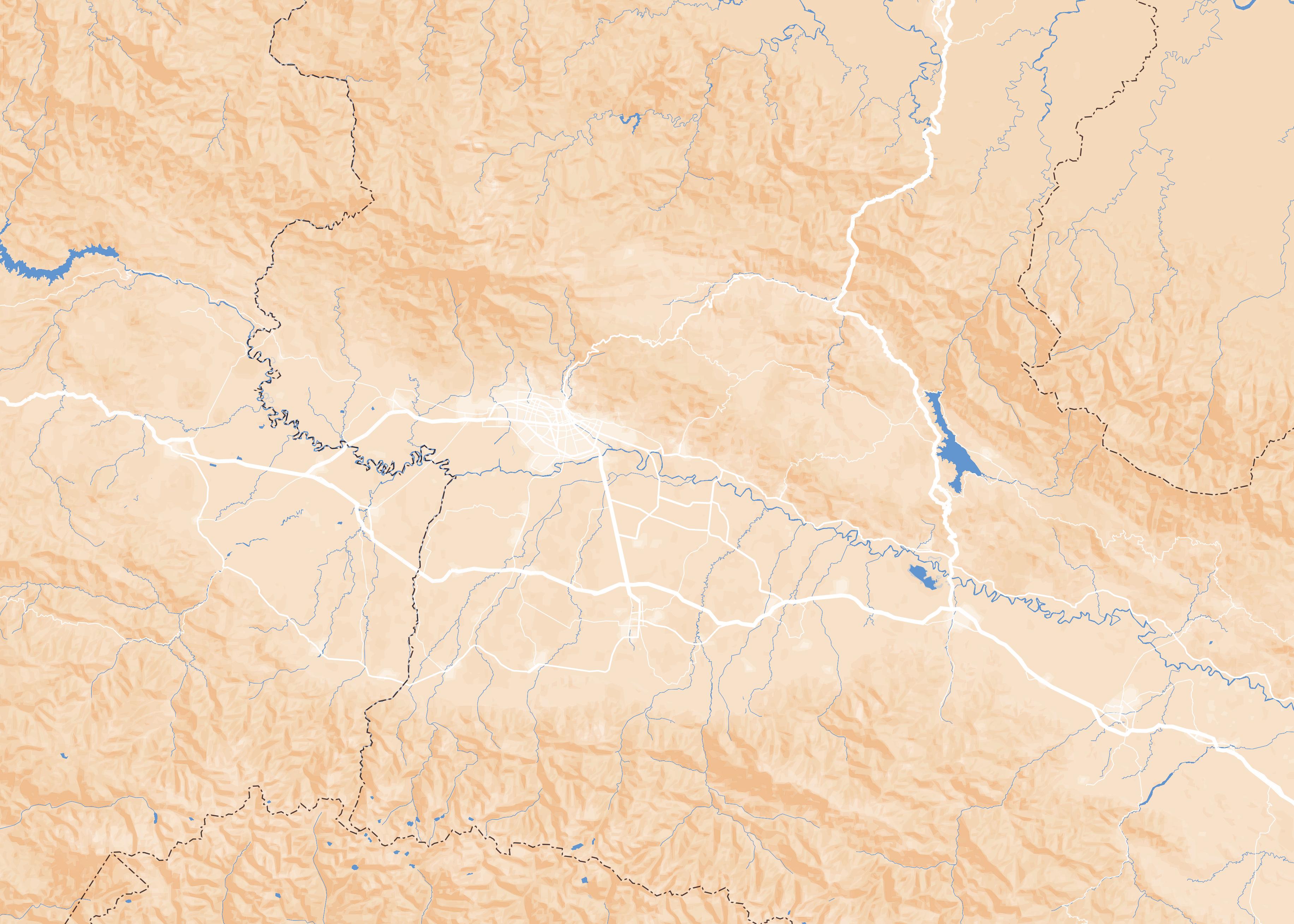
complement the insight of the historical and geographical panorama that concerns these old rural dwellings, especially in the course of the XX century. The first, Map A3 (see to pages 36-37) presents the southern portion of the Cauca River Valley, where most of the country’s sugar industry and the largest number of existing Casas de Hacienda in this geographical region are concentrated. Depicted as well are the river landscape, the road infrastructure, the existing urban centres and the existing haciendas found in the region. Accompanying this graphic representation is Table 1 (refer to page 35), which displays the information that concerns the 22 haciendas positioned in the previous drawing. This table provides the name of each property, the geographical location referring to department and municipality, its current use and the status of its chapel, if present, all organised on the basis of its period of construction. In this way, simultaneously with the map, it is possible to visualise the pace of their emergence in the territory throughout the centuries.
The long path for the consolidation of the Casas de hacienda in the Cauca and Valle del Cauca departments as architectural heritage had as precedent the recognition of the Parish House in Guacarí as a Nation’s BIC by the Colombian government in 1976. This building is located in the town’s main square and, although it hosts religionrelated activities today, it is presumable that it was originally the main house of an old encomienda from the XVII century that existed prior to the town’s official establishment two centuries later, in the same location. That would explain why this building’s layout is comparable to that
Below,[Figure 8] the building complex of the Hacienda ‘El Alisal’ during the decade of 1980.
Around that time its condition of abandonment was already critical. It is possible to appreciate here the volume of its chapel, aligned with the exterior corridor of the house
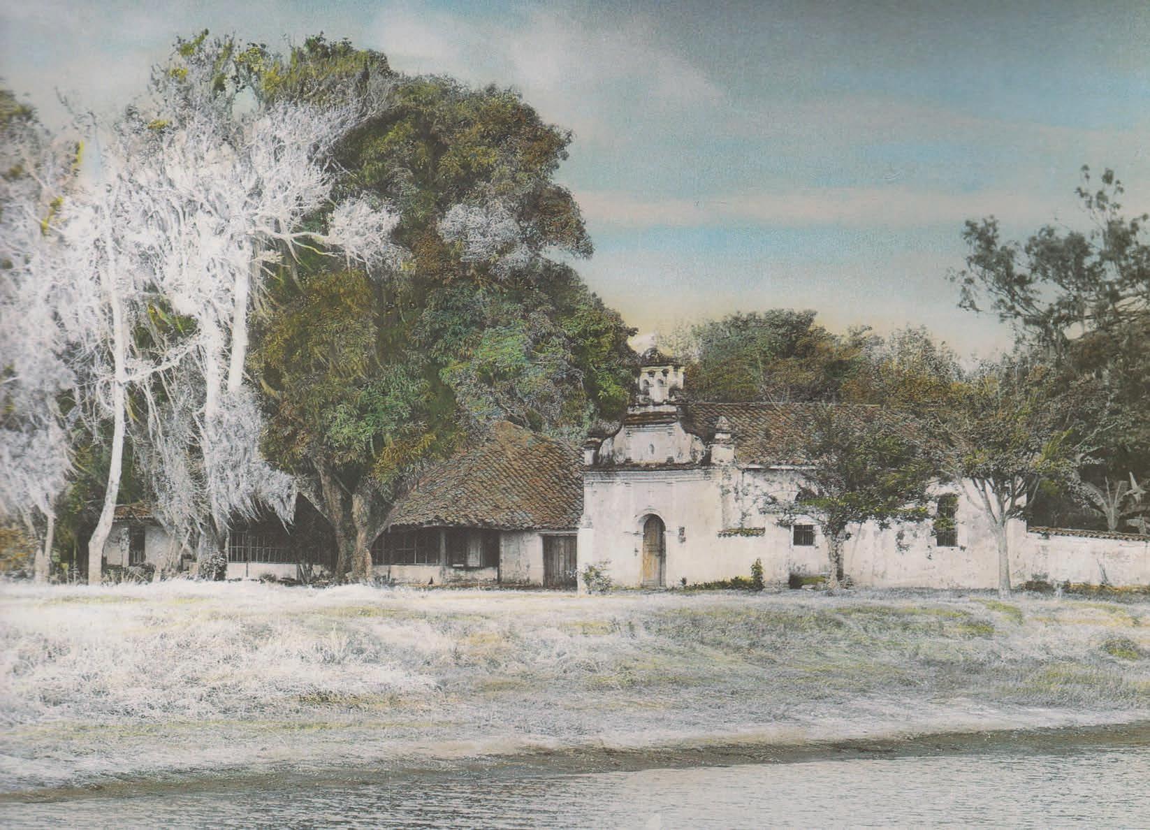
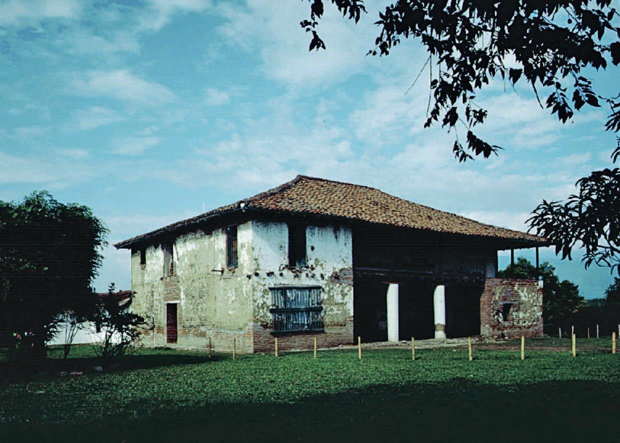
Below,[Figure 9] the building complex of the Hacienda ‘Perodías,’ 1987. The indoctrination chapel was capture here from its rear façade.
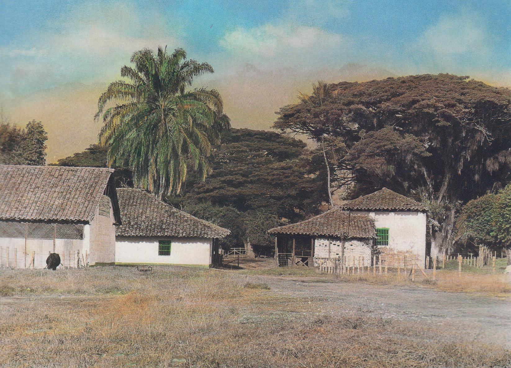
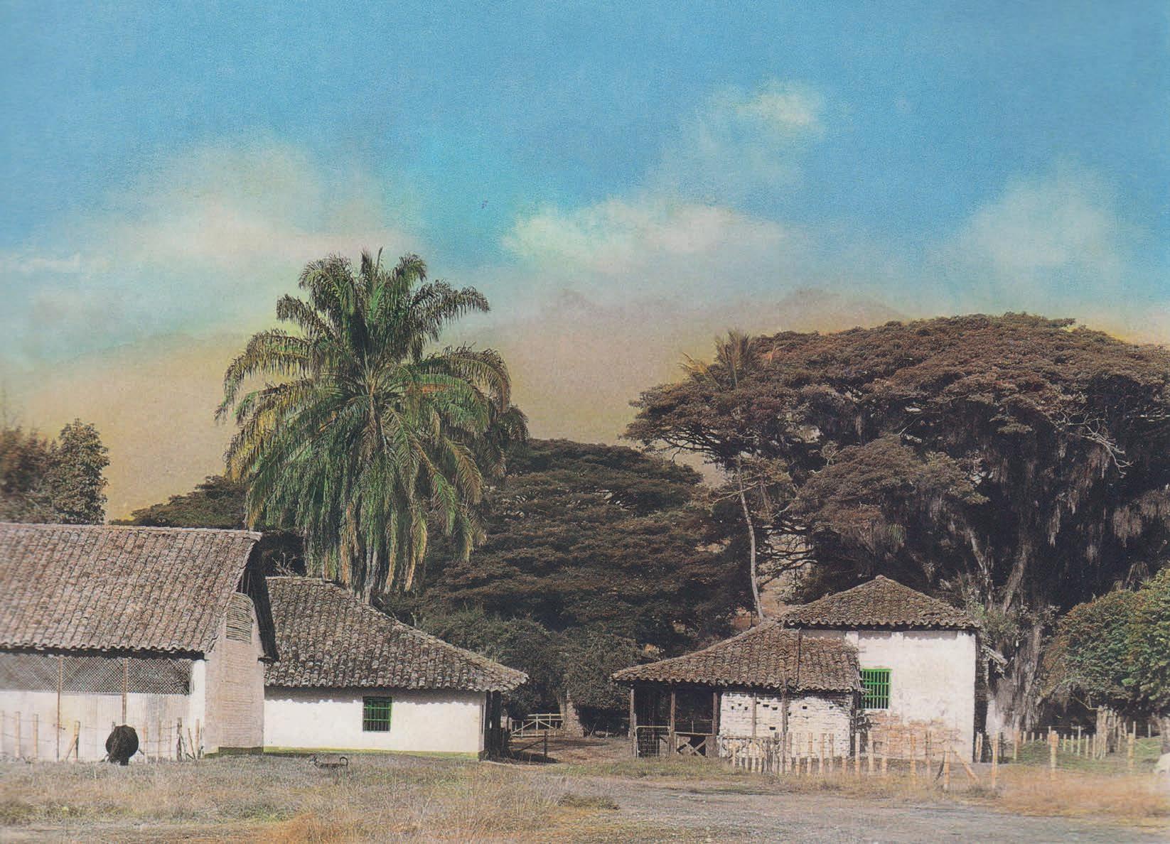
Below,[Figure 10] Hacienda El Hato (Pradera).
Photo by Antonio Castañeda (1997) in Villegas, Arquitectura campo colombiano, 214
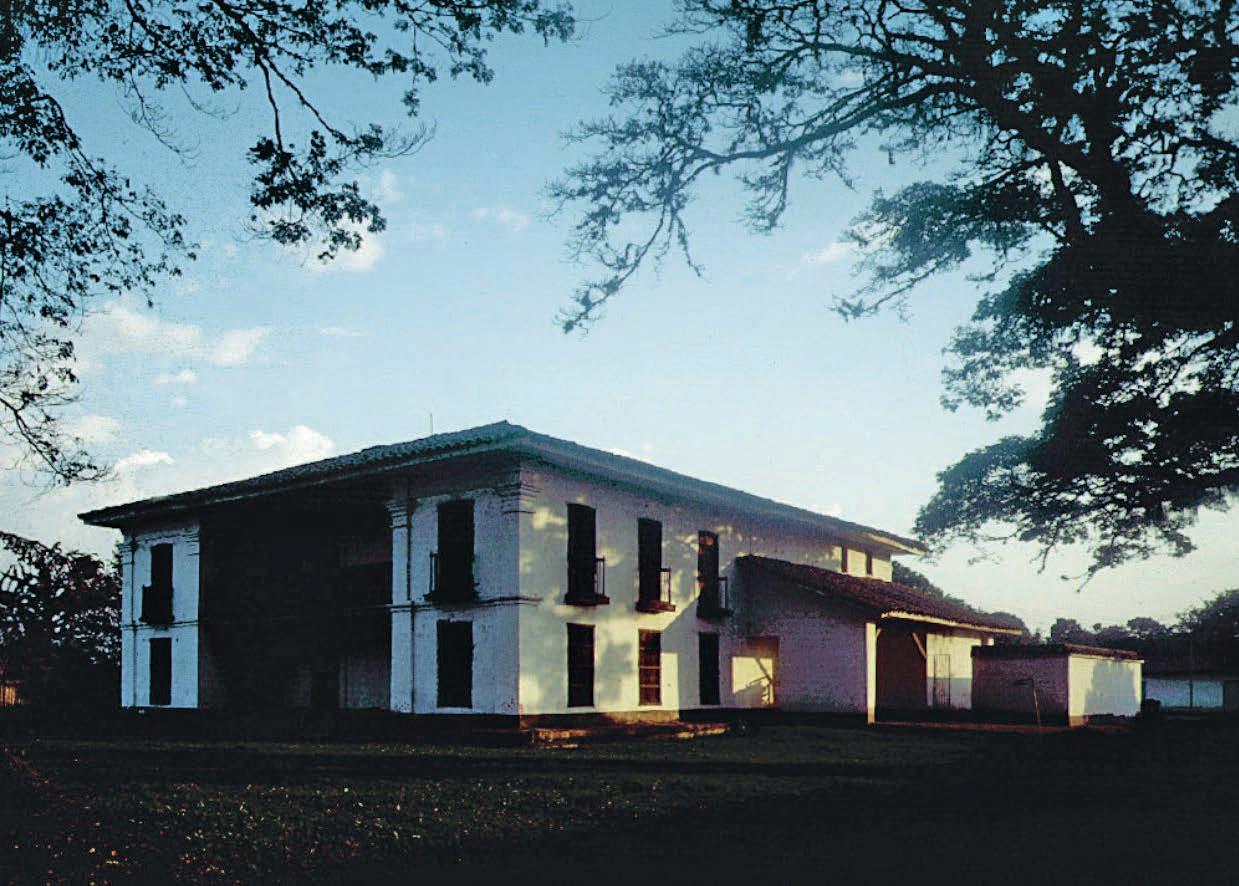
Below,[Figure 11] Hacienda La Industria (Florida).
Photos by Antonio Castañeda (1997) in Villegas, Arquitectura campo colombiano, 220-221.
of a traditional hacienda from the same period. 11
The first authentic Casa de Hacienda to be recognised as Nation’s BIC was the Hacienda Cañasgordas in 1980. From that year until 2004, up to 22 assets from the geographical region of the Cauca River Valley were recognised in the SNPC, the last of which was the acceptance of the Hacienda El Paraíso that year. There is one last entry inserted in 2010 and, according to this database, it has not received due acceptance for inclusion in the mentioned list since then. 12
With regard to the current use of this selective group of Casas de hacienda, apparently, 18 have a stable pattern of use. Additionally, of these, 12 function as country houses frequented during holidays. There is only one example of a fully functional hacienda de campo [livestock hacienda], the Hacienda García Abajo, in Caloto. Besides being one of the best well-preserved building complexes, it has never stopped its activities thus far. As for the other 5 properties, one has a religious function, and the other 4 were converted into house museums. In general, these 18 examples of haciendas are in a relatively good state of conservation and portray a certain level of authenticity; besides, they have not been severely modified.
The 4 remaining haciendas, which were also listed as National Monuments
in 1996 along with other 13 building complexes in the region, 13 have been in a state of abandonment for more than two decades. The current condition of the haciendas El Hato, La Industria (see fig. 10 and 11) El Alisal, and Perodías is critical, to the point that they are all at risk of total collapse. Moreover, El Alisal, established in the second half of the XVI century, and Perodías, from the first decades of the XVII century, are two of the oldest existing representatives of Casas de Hacienda in the Cauca River Valley and constitute, together with the haciendas García Abajo and Hatoviejo, the group of heritage complexes that still retain their respective indoctrination chapels, albeit the state of conservation of those standing in El Alisal and Perodías is truly distressing. The indoctrination chapels in the haciendas Arroyohondo, Japio, Cuprecia, Cañasgordas and El Paraíso, together with many others unregistered, were demolished due to the abandonment of these spaces after the abolition of slavery in the country. Likewise, other examples were also dismantled as a sign of rejection by some radical landowners of the Catholic Church right after the country’s Independence. More recently, their disappearance is due to the looting and destruction perpetrated by individuals in their search for archaeological treasures supposedly hidden in these structures and
[11] Annotation by historian Jaime Salcedo in Patiño, Arquitectura Religiosa, 210.
[12] “Casas de Hacienda immovable Inventory” SIPA, accessed 13 June 2022, https://www. sinic.gov.co/patrimonio/Inventario/InventarioInmueblesListado.aspx
[13] Colombia, Ministry of Culture, List of properties declared as Assets of Cultural Interest at the National Level (Bogotá, 2021), 31-35.
their proximity. It is precisely this type of disruption that today jeopardises the existence of long-standing haciendas such as El Alisal and Perodías (see fig. 8 and 9).
Furthermore, it should not be overlooked that the Casas de hacienda, besides being a testimony to the economic and social processes that characterised a region where the possession of the land was a symbol of social status and power, are connected to the process of evangelisation carried out in the Cauca River Valley, which in turn required the construction of spaces necessary for this endeavour. Their chapels, built in the XVI and XVII centuries respectively, are part of the religious architectural heritage of more than 15,000 colonial Catholic temples in Iberic-America. 14
In other words, the relationship that these buildings have with the process of construction of the cultural identity of those who occupy the territory that is Colombia today is pretty profound. In addition to being material evidence of different moments in the constructive development of a population, they are part of the memory of those populations who see them as symbols that once signified their moral and physical subjugation. Even today, when abandoned, those have not managed to find new meanings suitable for the revitalization of that memory.
Joining the efforts to make this built heritage visible and protected, the present document aims to contribute to the search for new meanings that would revitalise the cultural place that occupy the Casas de Hacienda in contemporary Colombia.
Hacienda Perodías Hacienda Sugar Factory Municipality Border Department Border Train line Connection path between Florida and Cali
Department’s Capital Township
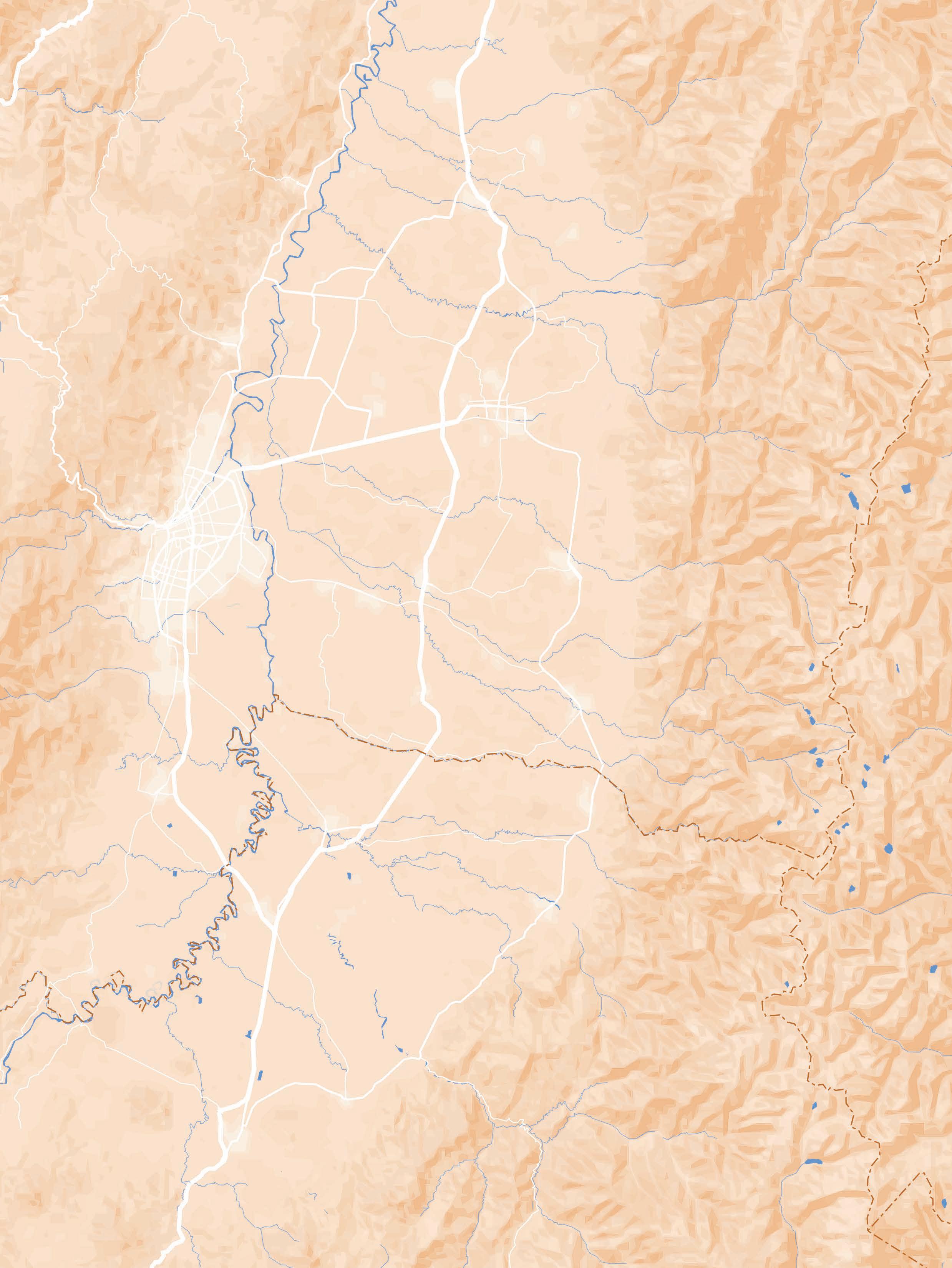
The Hacienda Perodías is one of the first haciendas to be established in the south-eastern portion of the geographical valley of the Cauca River, in the region traditionally known as Llanogrande [the great plain]. This area comprehends the wider bank of the river and is washed by several watercourses, making it suitable for agricultural production and the establishment of urban settlements.
However, that area was historically inhabited by indigenous communities belonging to the Nasa tribe, who strongly opposed Spanish colonisation for more than a century. Only well into the XVII century, the hacienda was established by the Jesuit bishop Pedro Díaz Cienfuegos with the mission of evangelising the aboriginal communities that lived nearby. This duty would later be transformed into agricultural and livestock production that supplied the local markets sprouted in the vicinity as well as the indoctrination of
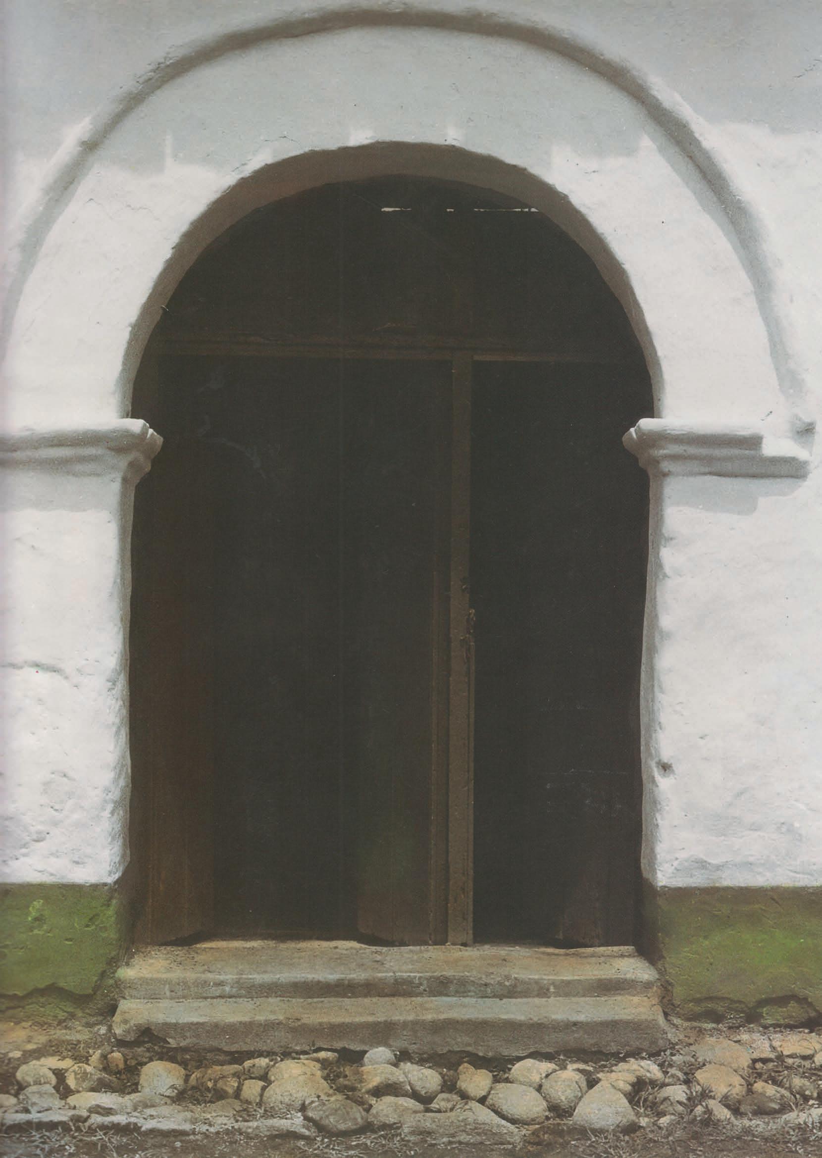
Page 42,[Figure 12] North entrance to the Chapel of the Hacienda ‘Perodías’. Photo by Fernell Franco, 1994.
Previous page, [Map A4] The municipality of Florida, including its urban and rural areas. Drawing by the author, 2022.
slaves exploited as labour force for such agrarian purposes. It is probably due to the name of this bishop that the hacienda would later be known as “Perodías”.
Classified according to its size and wealth as a medium-sized property, the hacienda comprises three buildings: the family house, for residential purposes, the chapel, consecrated to the evangelisation activities and the traditional catholic rites of the landowner’s family; and the warehouse. There were also other buildings related to the hacienda’s economic functions such as the trapiche [sugar mill], not existing anymore, and a house for the labourers of the hacienda, which, however, is not currently within the hacienda’s perimeter. Perodías also possesses other complementary structures such as access gateways, a water tank and a swimming pool. The emergence and evolution of each of these elements would be related to the different periods of economic prosperity that those in charge of the hacienda experienced during the almost 400 years
of its existence. Moreover, this hacienda could be perceived as “a depiction of those socio-economic structures that took place within the haciendas, which started from traditional subsistence agriculture with crops such as bananas, corn, cassava, coffee and cocoa, among other products, to move on to complementary work such as cattle raising and the cultivation of sugar cane.” 1
Its historical significance is linked to the independence process of the country and the industrialisation phase that placed the geographical valley of the Cauca River as a strong producer region of sugar cane by-products such as aguardiente, rum and sugar, to mention just a few. In this sense, the Hacienda Perodías would be positioned as one of the most prominent sugar factories during the first decades of the XX century, at least until its financial crisis and posterior demise and abandonment in the last decades of that same century. Furthermore, it is a primer example of the development, dynamics and socio-cultural changes related to the municipality of Florida, the closest urban settlement that, according to popular tradition, would have originated in the hacienda itself. 2
For these and many other reasons that are going to be discussed in the next chapters, the role of the Hacienda
Perodias in the characterization of the region is of great natural, architectural, archaeological, ethnographic and historical significance.
The territory that surrounds the Hacienda Perodías nowadays is ‘slightly’ different from the one in which it was established four centuries ago. Indeed, it has changed from being formerly known as New Granada, one of the Spanish colonies on the continent, to properly becoming an independent state, known as the Republic of Colombia. This country, a nation with a decentralised organisation, 3 is currently divided into different territorial entities known as departments, districts, municipalities and indigenous territories. From its 32 departments and 1122 municipalities, the hacienda is part of the municipality of Florida, a population located in the south-eastern corner of the Valle del Cauca department, which, in concert with Cauca, constitutes the geographical region that we have referred to thus far as the high valley of the Cauca River.
[1] Karen Moreno and Pilar Torres, “Hacienda Perodías, patrimonio cultural de Florida,” Centro de Estudios Históricos MAV de Florida, 8 October 2020, introductory video, 4:41, https:// youtu.be/khH-w4Lm_Yg.
[2] Instituto para la Investigación y la Preservación del Patrimonio Cultural y Natural del Valle del Cauca (INCIVA), Zonificacion preliminar y diseño de plan de manejo arqueológico, Hacienda Perodías, Municipio de Florida, Valle del Cauca (Cali: INCIVA, 2018), 61.
[3] Colombia, Constitution of 1991, art. 1.
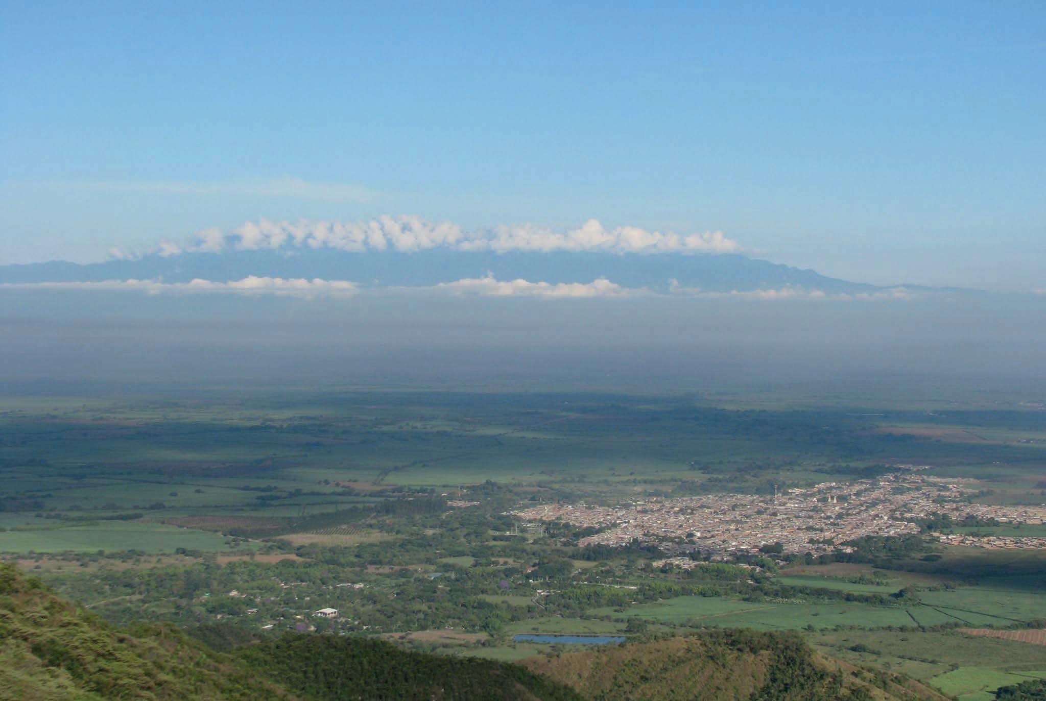
[Figure 13] Panoramic view of the urban area of Florida, taken from the mountainous area. The Cordillera Occidental can be seen in the distance, as an imposing backdrop.
Photo property of Alonso Vázquez, personal digital archive, 2013.
Legend
Hacienda Perodías Hacienda Sugar Factory National (primary) Route 31 Secondary Route
Municipality Township 2.5 Km
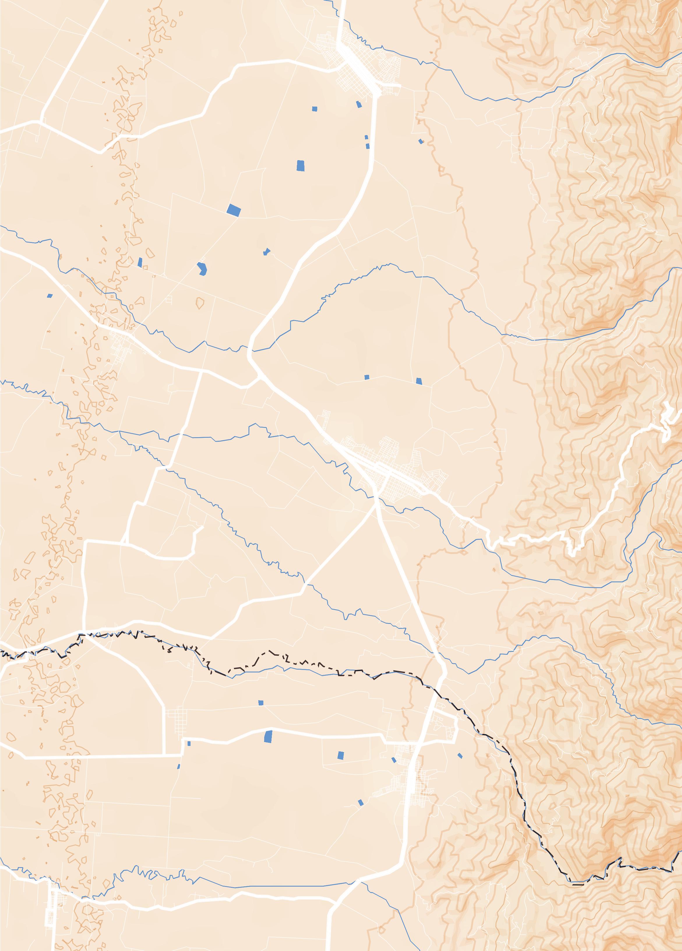
As a matter of fact, the connection of the Hacienda Perodías with Florida is much more than just being the nearest urban settlement with more than 50.000 population. As was mentioned before, the hacienda was the first Spanish settlement to be established during the first half of the XVII century in this part of the valley, moreover, it is traditionally considered the foundational place of Florida though there is not an official entry that verifies this nor determines the precise date of establishment of the hacienda. Nonetheless, for some authors, the urban character of the buildings’ disposition around an inner courtyard might be a hint that a town was erected around the Santa Rosa de Perodías chapel. 4, 5 It may be even possible that the Hacienda fostered enough social dynamics to be addressed as a development pole that gradually thrived until becoming a landmark itself.
After the establishment of the Republic, in 1819, the new territorial organisation for the newborn country
encompassed the hacienda and its vicinity as the Perodías Vice-parish, inside the Cauca province. In 1826, it was raised to parish status, though interestingly at this point, it did not have yet a formally constituted urban centre. In 1833, the name of the Parish was changed to Florida and then, two years later, it was relocated to the other side of the Fraile River, on an already-existing hamlet part of the Hacienda El Pedregal. 6 It is in this place where the urban centre is found today (refer to map A4). The case of Florida, in contrast with other foundations that followed strict guidelines from the Spanish Crown, represented a settling process connected to the operations of land tenure, subdivision and land sale that were encouraged after the Colombian Independence. This and other population centres in the surroundings, such as Palmira, Candelaria and Pradera, stemmed from the disintegration of big private parcels and renowned haciendas. 7 The municipality of Florida, officially
[4] Centro de Investigación Territorio, Construcción y Espacio (CITCE), Urbanismo y Arquitectura de la Hacienda Perodías (Cali: Universidad del Valle, 2018), 2.
[5] Juan Valencia and Daniel Trujillo, “Análisis técnico-constructivo de las edificaciones de la “Hacienda Perodías” (s. XVIII) Florida, Valle Del Cauca” (Undergraduate Dissertation, Universidad del Valle, 2020), 115.
[6] Barney and Ramirez, Arquitectura Casas de Hacienda, 28.
[7] INCIVA, Plan de manejo arqueológico Hacienda Perodías, 31.
Previous page, [Map A5] The vicinity, in which are positioned the closest urban poles and recognized haciendas. Drawing by the author, 2022.
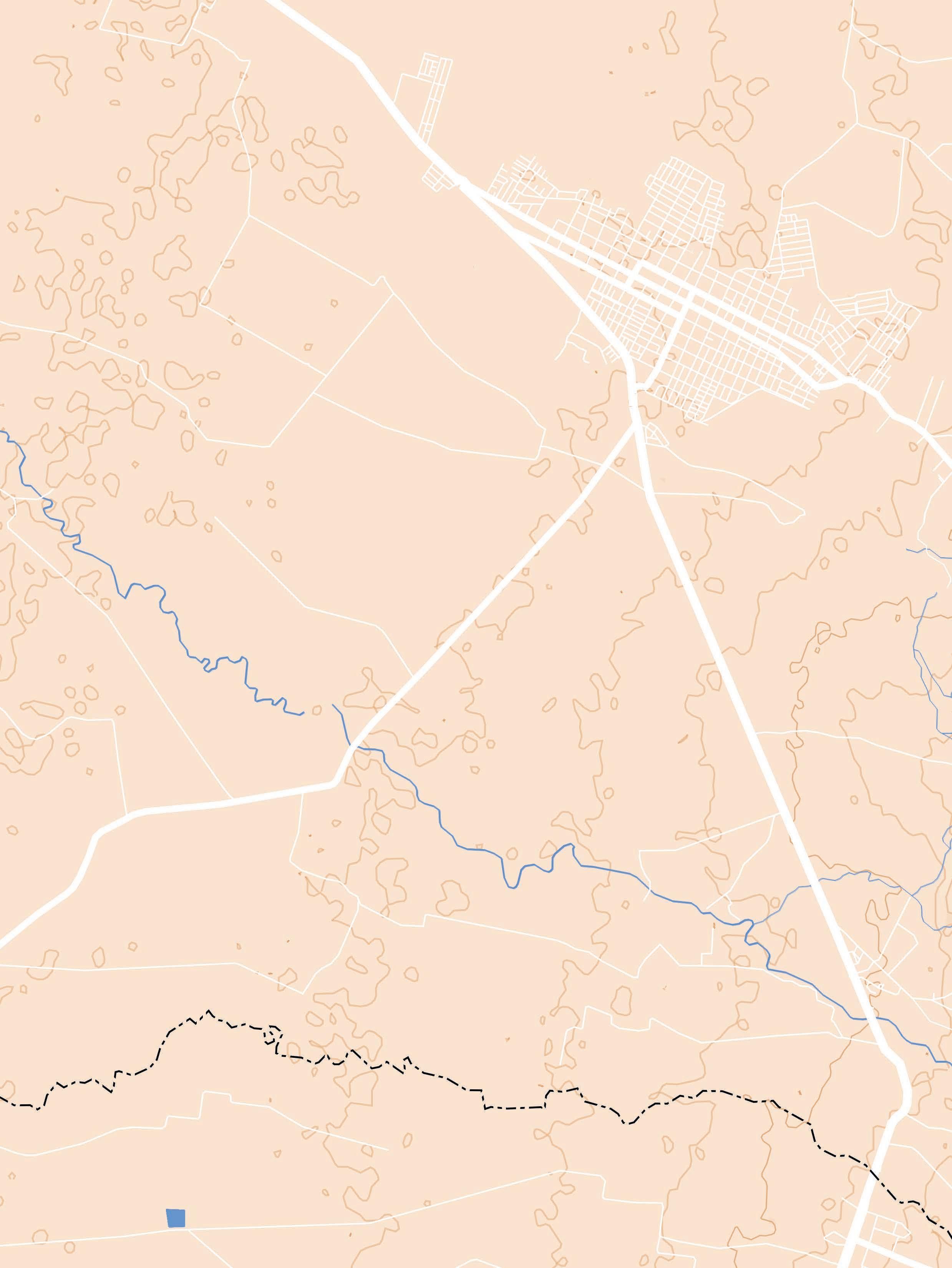
settled in 1864, is placed on the piedmont of the Central cordillera and neighbours the municipalities of Pradera to the north, Candelaria to the west, Miranda, already in the Cauca department, to the south, and Río Blanco, now corresponding to the Tolima department, to the east. Additionally, the Central Cordillera, besides being a frontier shared by both departments, is the geological formation that divides also the two most significant hydrological systems in Colombia: the Magdalena River, in the Tolima department, and the Cauca River, in Valle del Cauca. It is from this same mountain range that the main watercourses that bathe the municipality of Florida originate: the Párraga river, limiting with Pradera, the Desbaratado river, the natural frontier with Miranda, the Fraile river, in whose right bank is placed Florida’s urban centre, and Las Cañas river, the watercourse adjacent to Perodías.
In addition, considering its geographical position in proximity to the central cordillera, Florida possesses both plain, around 1088 m.a.s.l., as well as mountainous land, which can reach

up to 4120 m.a.s.l., an altitude where the moorland is the predominant landscape. This precious environment, known as Las Tinajas moor, functions as a natural condensate system that gradually trickles the collected water into the valley until it forms water streams. Down in the valley, with a more stable climate of tropical savannah and relative humidity between 65%-75%, has been blessed with sufficient water to guarantee the sustenance of diverse human settlements and their farming practices for centuries (refer to fig. 13). Today, such intentions have evolved into the sugar cane agribusiness that sustains almost 80% of the economy of the municipality.
With such an agrarian vocation, a total of 378 km2 in size and 54.207 inhabitants (2018), 8 Florida likewise has organised its territory into smaller administrative units which can be grasped as follows: the urban area is divided into 5 communes and 27 neighbourhoods, corresponding to the 7,5% of all its entire surface, while the rural area has been structured in 12 corregimientos [townships]. 9 It is precisely
[8] “National Census in Population and Property 2018,” National Administrative Department of Statistics (DANE, for its acronym in Spanish), Colombia, accessed 27 May 2022. https://www. dane.gov.co/index.php/estadisticas-por-tema/demografia-y-poblacion/censo-nacional-de-poblacion-yvivenda-2018.
[9] Colombia, Municipality of Florida, Territorial Management Basic Plan of Florida, PBOT 2001-2010 (Florida, 2001), 5-10.
Previous page, [Map A6] The Urban Core, Florida, and its proximity with the grounds of Perodias. Drawing by the author, 2022.
in the countryside, in the Chococito township, where the Hacienda Perodías is located.
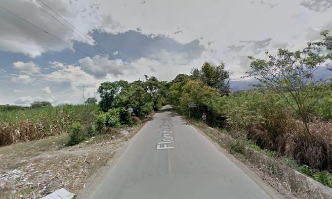
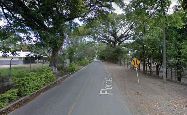
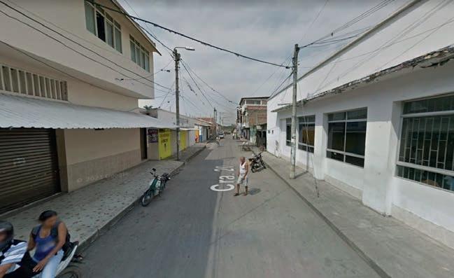

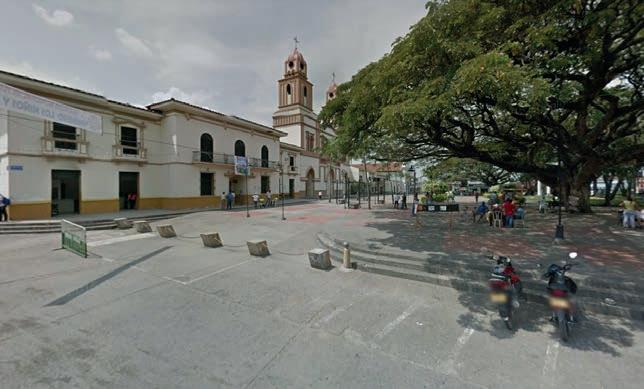
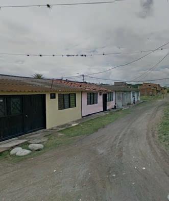
Standing on this scale, it is worth appreciating how those who live there depict their territory and more importantly, the cultural and social landscape that distinguishes this township. In this manner, the writing by Carlos Arana, 10 resident columnist and scholar, in his section “Historiando” in El País, a prominent local newspaper, describes it as follows:
[...] The township of Chochocito [is] characterised by its Afrocultural identity and a local economy based on the artisan extraction of materials such as sand, stone
[10]
and ballast from the Desbaratado river. Likewise, fired clay brick and tile manufacturing in sheds, sugar cane agro-industrialisation in factories and mills, ornamental plant production, and peasant agriculture of plantain, banana, corn, cassava, vegetables and a variety of fruit trees such as pineapple, avocado, mango and citrus fruits. This locality is also identified by the permanent work that women carry out in the rescue of the regional gastronomy of wide Afro-Latin American ancestry.
Throughout the excerpt, it is possible to perceive the attention
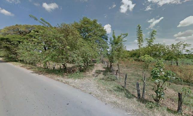
[Figure 14] The photographic sequence of the car journey from the main square of Florida to the access point to the grounds of the Hacienda Perodias. This path evidences the transition from an urban environment that gradually dilutes into a landscape that is still a rationalisation of a territory altered by humans: the rural agricultural landscape.
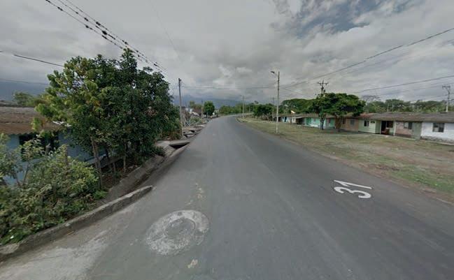
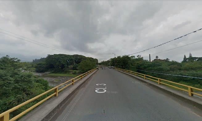
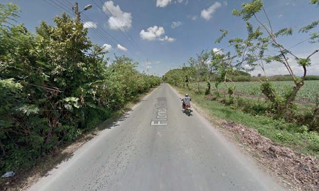
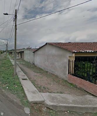
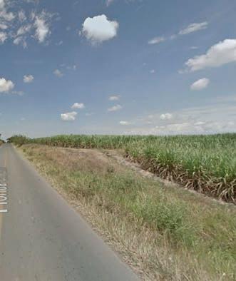
Images property of Google LLC, 2014.
[B1] Scale THE HACIENDA 1:2500
Sugar cane farming
Uncultivated area
Palm tree
Access point
Paddock
Kitchen garden Residential use (rural)
Tree-covered area
Bamboo-covered area
Irrigation ditch Water stream | river
Hacienda’s perimeter
Approximation path
Enclosure fence
Access gateway 1 2 3 4 5 6 7
Forecourt gateway
Secondary gateway Chapel Family house Warehouse Worker’s house
placed by the author on the fact that the community inhabiting the township is culturally and ethnically recognised as an Afro-descendant population. This cultural feature is also shared with the municipalities that are located in the southern part of Valle del Cauca and the north of Cauca departments. As briefly explained by the Centro de Estudios Históricos de Florida [Historical Studies Centre of Florida] in its periodical newsletter Memoria Floridiana, concerning the settlement process in Chococito and other townships south of Florida, “since colonial times, Afro-Colombian communities were organised in palenques around the Desbaratado river, which after the declaration of the abolition of slavery in 1851, would give rise to corregimientos [townships] and veredas [hamlets] such as Chococito and Tarragona, whose origins date back to the nineteenth century.” 11
According to an official document that provided statistical information on the Palmira canton dated back to 1825, the Perodías parish counted 225 slaves at that time. 12 It is important to assume here that most of them used to live inside local haciendas, Perodías included. As it was discussed previously, the presence of a chapel in a hacienda implied the presence
of slaves living there, therefore it is fair to say that the Hacienda Perodías used slaved labour force since its establishment at least until the abolition of slavery in the country. What is more, some of the slaves who escaped and organized small hamlets in the Chococito area may have come from this same hacienda.
For this reason, the connection between Perodías and the communities living in the Chococito township could be more profound than one can expect: it is linked to the slave-trading operations that were common in the continent since the XVI century. Today, as the hacienda is completely abandoned, there is an opportunity to reframe such connotations.
Up to this point, it is clear that the historical connection of Hacienda Perodias with the human settlements around it is quite evident, especially with Florida, the nearest urban pole, and Chococito, a settlement possibly a product of the agricultural dynamics that made use of slave labour for centuries
[11] History Centre of Florida, “Lugares: Chococito y Tarragona,” Publicación Memoria Floridiana, 2021.
[12] INCIVA, Plan de manejo arqueológico Hacienda Perodías, 33.
Pages 54-55, [Map A5] The Hacienda perimeter and its surroundings. Drawing by the author (2022).
within its grounds. However, the physical connection that these places have with respect to where the Hacienda is located, and in particular, the architectural complex that represents it, is much less defined.
As illustrated in map A5, by drawing a straight line from the main square of Florida to the location of the hacienda, it can be determined that there is a distance of approximately 3,40 km. Using the same procedure, from the central square of Chococito the distance between the two points is more than 5 km. 13 Likewise, it can be seen in this graph as there is only one road that connects both populations, the Florida-Chococito route, highlighted in green. 14 This national tertiary road mainly connects the townships with the municipal capital, and moreover, it is the only access road to the hacienda regardless of which of the two is approached.
Arriving at this landscape from Florida, which is also its closest human settlement, can be done in three different ways. As it has been illustrated in map A6, taking the main square of this municipality as the point of departure, it is possible to move towards the access point of the hacienda by car, bicycle or simply walking: The first is represented by a blue vector 4 km long and travel duration of just over 6 min; for the green vector, the bicycle,
for its part, would take at least 15 min to navigate 3,9 Km and reach the point (i) while for the remaining vector, the walking path, in order to traverse a length of 3,6 Km until the defined destination, it would hypothetically take 44 min. 15
Additionally, by performing the virtual immersion of this route from the perspective of a car (see fig. 14), 16 it is possible to draw near not only how this movement vector develops in the space but also how the surrounding landscape morphs from an urban to a rural environment and thus impacting its reading from who passes through. Along the stretch that covers the National Route 31 (see map A6, points d to f), it is possible to notice that in the case of the walking path there are no clearly defined sidewalks, much less a physical aid that allows a pedestrian to cross safely to the other side of this road of more than 12 m wide ( see fig 14, images d and e). Though it has a much lesser character and vehicular traffic, the 6-meter wide segment of the Florida-Chococito route (see map A6, points f to j), is likewise consistent with the lack of proper sidewalks. This situation would imply that, considering the agrarian character that distinguishes this area, the most commonly used modes of transport are cars, buses, trucks and, in
[13] The measurements of these distances were made with Google Earth, a map-related product owned by Google LLC.
[14] INCIVA, Plan de manejo arqueológico Hacienda Perodías, 55.
[15] The calculations concerning the time travel for each movement vector were made with Google Maps, a map-related product owned by Google LLC.
[16] The virtual tour was made using the interactive panoramas available in Google Street View, a map-related product owned by Google LLC.
a much lesser proportion, bicycles, though it is not provided with any bicycle line that enhances its use either along the National Route 31 or this tertiary route. In other words, the only way for rural populations to connect to the urban area of Florida is by some form of motorised transport that allows them to make this round trip on a regular basis.
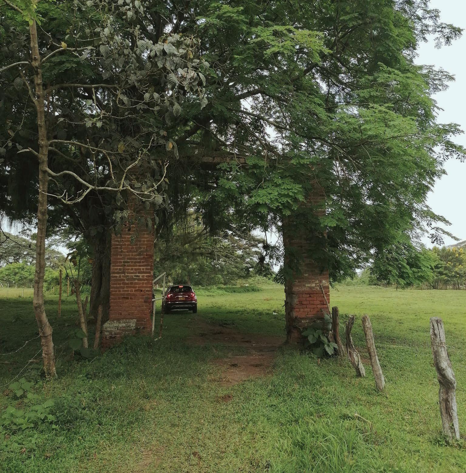
In terms of spatial perception, today, the motion sequence produced at that given speed is stressed by the straight line that describes the Florida-Chococito Route tangential to the grounds of the Hacienda Perodías. Today, the way how its access point is placed, hidden by bushes and other vegetation, makes it barely recognisable from the road (see fig 14, images f to j). Located in the northeast corner of the property, a gateway made up of two thick fired brick masonry abutments, 20 m from the main road, marks the access path to the hacienda grounds. This portal is the beginning of an irregular path that crosses the property on a diagonal, at the end of which, 300 m ahead, meets a second gateway with similar characteristics to the first. Its function is to be the joint between the directionality of the access path and the openness of the forecourt of the complex, a large open space with a proportion close to a square of 60 m on each side, that is delimited to the west by two buildings that serve as the main façade of the complex, the chapel and the family house; to the
north and south, by two small gates that once gave access to areas for sowing and livestock farming, and to the east by the gateway described just before. 17
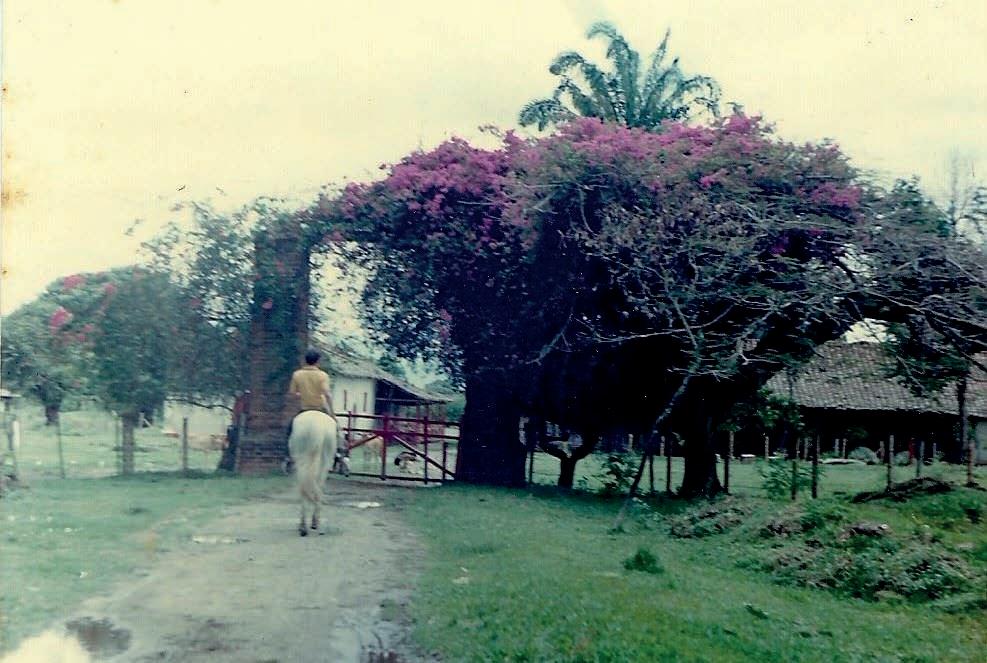
One thing is certain,, the appreciation of the same objects in space during earlier time periods may have been quite different from what it is today. In fact, at least before the introduction of the first automobile in the region in 1913, 18 the approximation process was commonly performed on horseback or by any other kind of animaldrawn vehicle for almost three centuries. Considering how people were able to move towards and reach outermost places in the past, it is possible to assume that part of the criteria used in the positioning of the house and its complementary structures within the plot regarded also these locomotive conditions (see map B1). An indication of this could be found in the proportions that its gateways have, whose clear height allowed for the passage of a person on horseback through them (see fig.15). That kinematic sequence, to enter and travel through the hacienda until arriving to the housing complex inland (see map B2), had an important significance, especially for those living in it. The pace of that movement, the time it took to complete and the way the housing complex was being found in the distance, was dramatised by the vigorous vegetation that surrounded and emphasised the access road, all of which formed part of the symbolic significance that this hacienda
[17] INCIVA, Plan de manejo arqueológico Hacienda Perodías, 42.
[18] Archive note, “100 hechos que marcaron al Valle,” El País (Cali), 11 April 2010, http://historico.elpais.com.co/paisonline/notas/Abril112010/4cien.html
Below, [Figure 15] Entering on horseback from the gateway that leads to the forecourt. Photo property of Oscar Ibague Sanchez, personal digital archive, 1987.
[B2] Scale THE APPROACH not defined
Access point Legend

Irrigation ditch
Water stream | river















Hacienda’s perimeter
Subdivision fence Approximation path Observer’s position n



























sought to produce in the past. Although today these meanings are not recreated through the practice of everyday life, a contemporary reading of this wandering could be engaged through a photographic sequence (see fig 16-18), accompanied by a description such as the following:
“The access to the existing buildings of the former Hacienda de Perodías is from the southeast through a leafy grove of old saman trees that form a majestic boulevard [...], at the end of which a recently built gateway gives way to a forecourt that serves as a stage for the surviving buildings of the hacienda. Flanking the courtyard are two gates, also not original, but of a different design to the one at the end of the boulevard, which used to lead to large plots of land that housed various productive activities and are now in disuse.” 19
possible to extract one more suggestion: In terms of how heritage is, more than a cultural legacy, a social construction established by those people who live and coexist with these places, 20 the Hacienda Perodías may currently be a quite vague memory for the communities residing today in Florida and even more intensely in its rural territory. From how “heritage is practised, remembered and represented by the subjects in relation to [it] in a specific space-time and organised in social and socio-spatial networks that represent dynamics delimited in time,” 21 the Hacienda Perodías today has ceased to be a place that is constructed by the inhabitants within their daily practices, a placed that doesn’t build common references to any individuals.
As a ruin lost in the middle of a landscape quite homogenised by hectares of extensive sugar cane cultivation interrupted occasionally by patches of guadua forests or remnants of the tropical dry forest that originally characterized this place, 22 is perhaps the image that could
From the analysis of how this territory unfolds around the hacienda, it is [19] CITCE, Urbanismo y Arquitectura Perodías, 1. [20] María C. Van-der-Hammen, Thierry Lulle and Dolly C. Palacio, “Construcción Del Patrimonio Como Lugar: Un Estudio de Caso En Bogotá,” Antípoda 8 (January-June 2009): 5-7. [21] Ibid.
[22] Bambusa guadua. This is a plant species belonging to the Gramineae family, native to the tropical areas of South and Central America. Consulted in Lyda Caldas de Borrero, La Flora en el Espacio Público (Cali: Feriva, 2006), 175.
[Figure 16] Walking tour to Hacienda Perodias. Photographic sequence (I)
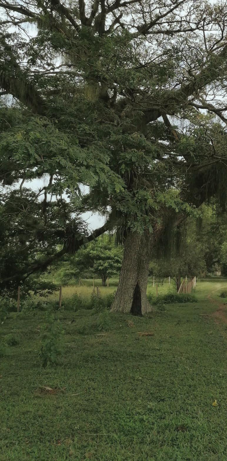
[a] Access gateway, from the road [b] A first moment of shade under a Saman tree.
[c] An opening that connects the access with the saman tree’s boulevard.
Photos by the author (2022).
be recreated of the Hacienda Perodías today. The process of approaching it could be imagined as a vast terrain, residue of former agricultural activities, which in turn is embedded within an even more immense agricultural landscape. There, the solitary casa de hacienda, silent, totally isolated from what happens inside the urban core of Florida and even more so
within what is assumed to be its rural area, waits to be rediscovered while the rhythm of the animal and plant life that inhabits its surroundings transforms its precincts into a refugee for biological diversity. 23 In the absence of anthropogenic activities, wildlife always finds a way to continue its course.
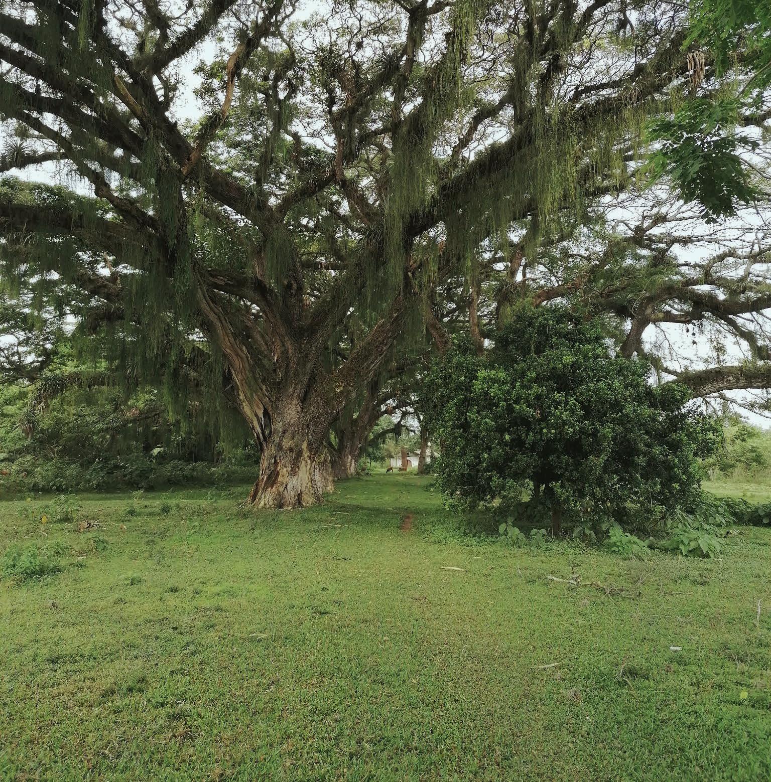
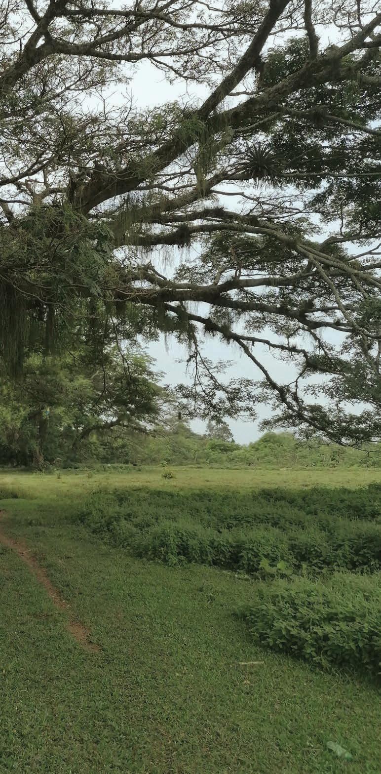
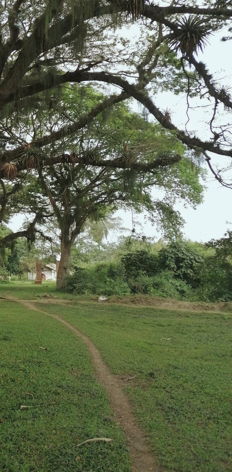
[Figure 17] Walking tour to Hacienda Perodias. Photographic sequence (II)
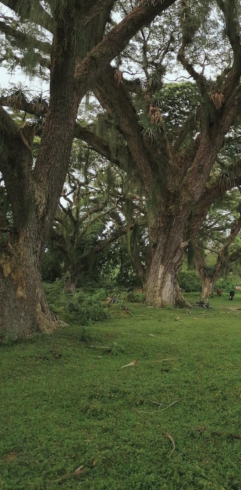
[d,e] The Saman trees boulevard. In the distance it is possible to discern the chapel from the architectural ensemble [f] Approaching the next gateway
Photos by the author (2022).
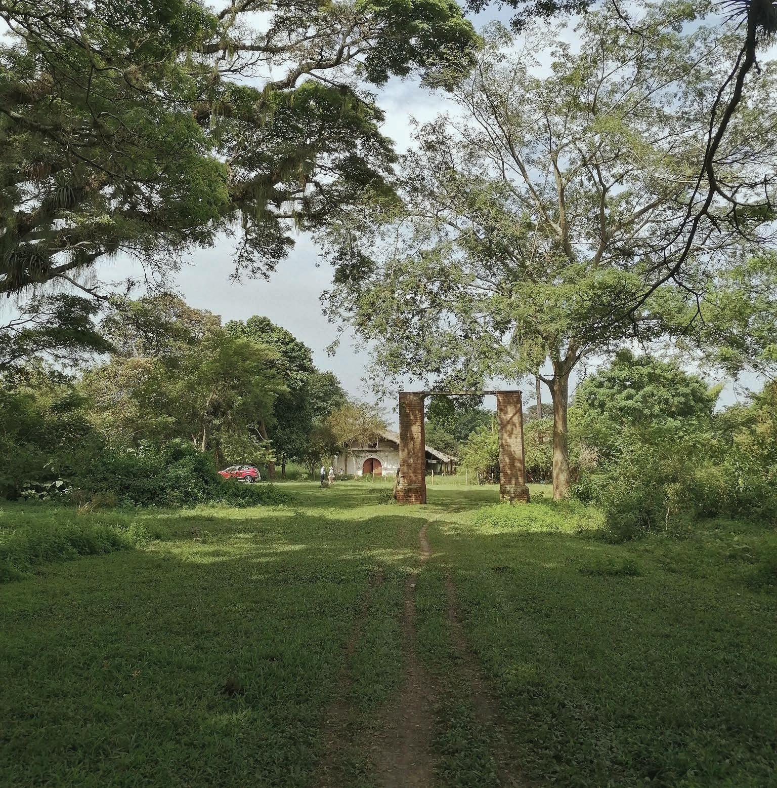
[Figure 18] Walking tour to Hacienda Perodias. Photographic sequence (III)
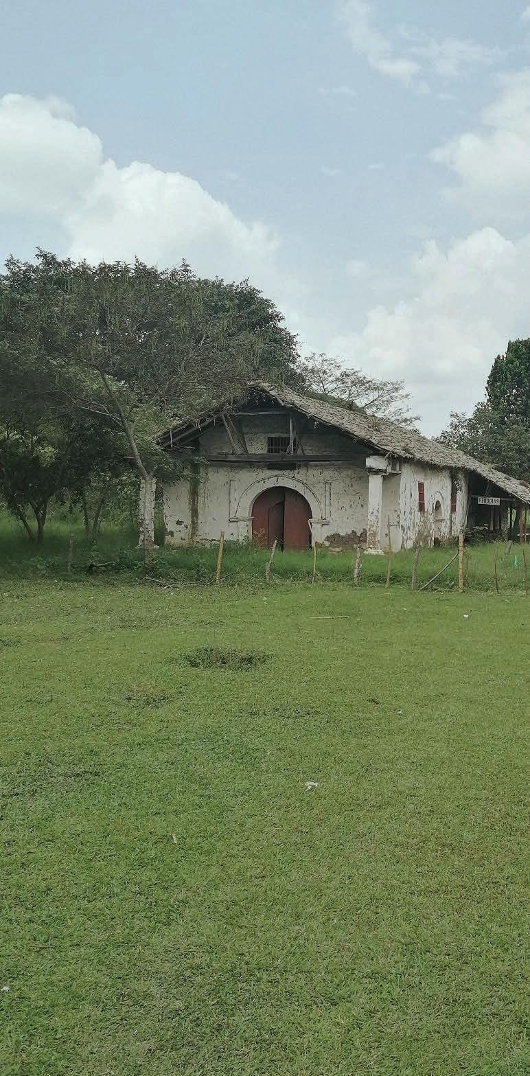
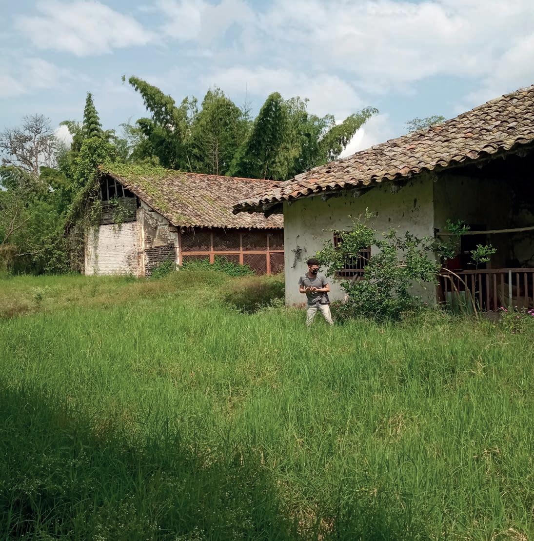
[g] The gateway to the forecourt. [h] View of the Chapel taken from the forecourt. [i] View of the Family house and the Warehouse, after the fence.
Photos [a-h] by the author, photo [i] by Karen Rojas (2022).
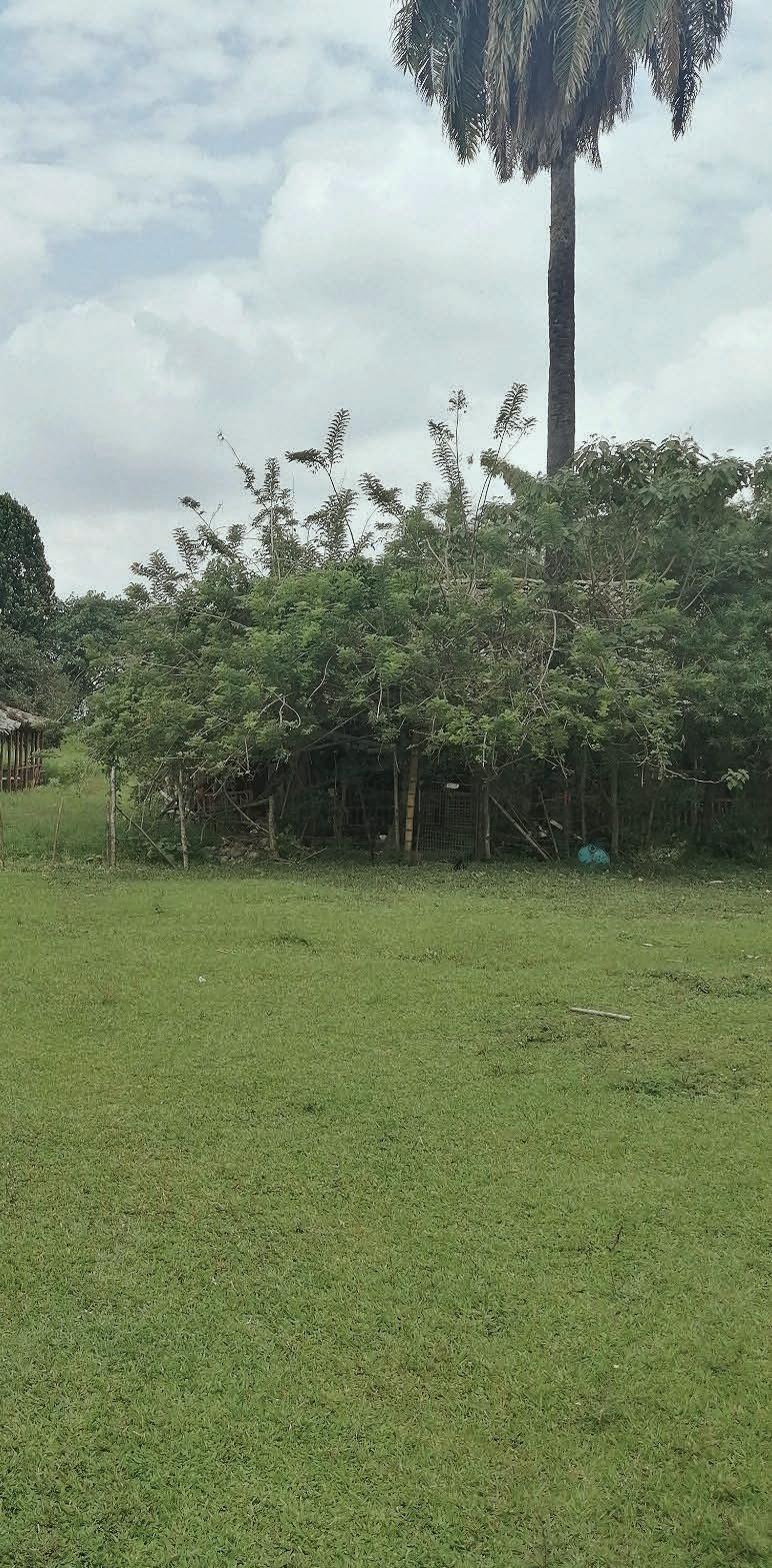


Possible location of the once-existing trapiche
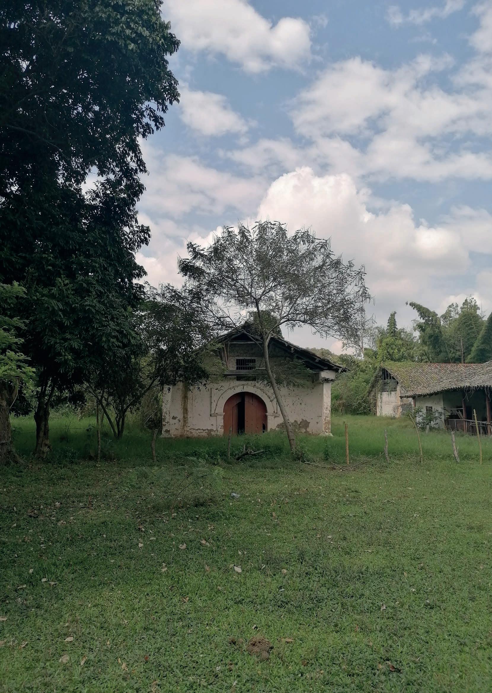
At this point, after a wandering route through saman trees, cane fields, small wetlands and pastures, the architectural complex of the Hacienda Perodias reveals itself as a set of volumes, almost pragmatic in form and elementary in character, which has been arranged according to specific relationships with the surrounding landscape: their orientation with respect to it and to human dynamics that converge towards and from these volumes.
In order to unveil the urban and architectural dimensions of this complex, this analysis will focus especially on the three structures that make it up today, vestiges of what would have been a history more than three centuries old: the family house, the chapel and the warehouse. Initially, these will be examined from the point of view of their urban associations, in terms of their position within the grounds of the hacienda and how this defines specific tensions between them
and the immediate landscape. Although they were conceived as independent volumes, they share an open space where the different activities that took place within each of them may have converged in the past. In the following section, each building will be examined separately in terms of volume, spatial organisation, and materiality, which, although they do not necessarily represent a simultaneity in their constructive evolution, share a tradition that allows us to link in one way or another the different construction languages used during their construction.
The group of buildings that constitute what is today the Casa de Hacienda Perodías is made up of three isolated buildings whose orientation and position, in comparison with other examples of
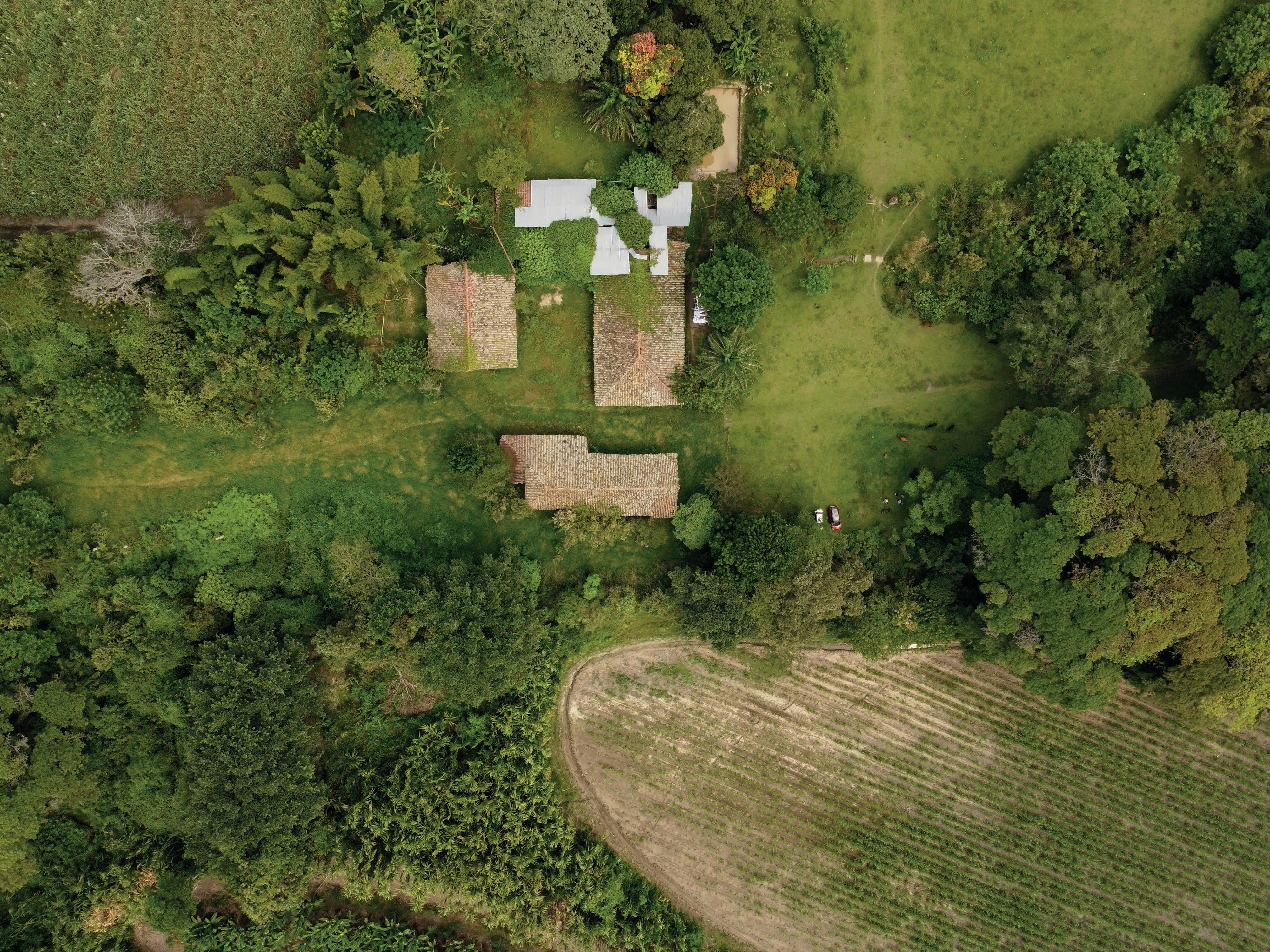
Pages 68-69, [Figure 19] Panoramic view of the Hacienda’s building complex from above. Image property of Alvaro Erazo, 2022. Previous page, [Figure 20] The Indoctrination Chapel, observed from the Forecourt.
Photo taken by the author, 2022.
Casas de Hacienda in the region, make it one of the most atypical cases. 1 This is because, on the one hand, it is oriented in a northeast-southeast direction, that is, parallel to the central cordillera, a condition that may also suggest that during the placement of the house on the site, the possibility of appreciating an “imposing view” towards the mountain range in front of it, 2 could have been a strong determinant at the time of choosing where and how to orientate it. On the other hand, this group of buildings is organised around a central courtyard, an uncommon configuration in the Casas de Hacienda in the geographic valley of the Cauca River, which sought to spread out on the land over a more introverted and concentric grouping. 3
This uncovered and partially enclosed rectangular space may have been used as an urban plaza where domestic, productive and religious activities were concentrated. 4 In fact, its existence may be evidence both of the urban character that once characterised the hacienda, and of its connection with the nearest urban centre, Florida, which may have originated in the vicinity or on the grounds of the hacienda itself. 5
Around this courtyard, arranged
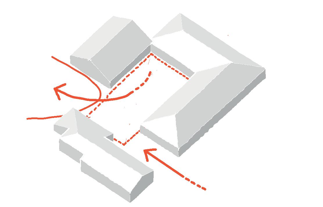
on four sides, are volumes with marked interruptions: forming a U-shape that opens towards one of the short sides of the rectangle are the family house, on the east and north sides, and the warehouse, on the west; on the south side, with a more discontinuous form, is the volume of the chapel. 6 Furthermore, the openings that connect these blocks from the courtyard with the exterior space have a clear hierarchy: on the one hand, the separation between the body of the family house and the chapel (barely 10 m wide), creates a sort of passageway towards the courtyard, thus acquiring the value of the main entrance to the complex, as it comes from the forecourt. 7 On the other side, towards the opposite front, there is a much wider opening due to the receding volume of the warehouse, which acts as a “joint” that redirects the flows coming through the passageway between the house and the chapel. This condition makes it a kind of exit towards the production facilities of the sugar mill, located a little further to the southwest of the complex. 8
In addition to their position on the site, the integration of these volumes within the complex is emphasised by the volumetric interplay of their roofs. Besides having been built according to similar
[1] CITCE, Urbanismo y Arquitectura Perodías, 1.
[2] CITCE, ibid, 2.
[3] CITCE, ibid, 2.
[4] INCIVA, Plan de manejo arqueológico Hacienda Perodías, 56.
[5] CITCE, ibid, 2.
[6] CITCE, ibid, 6.
[7] INCIVA, ibid, 45.
[8] CITCE, ibid, 6-7.
To the sugar mill area
[Figure 21] The concentric organization of the complex. Drawing by the author, 2022.
The courtyard
Access from The Forecourt
[Figure 22] The concentric organization of the complex. Drawing by the author, 2022.
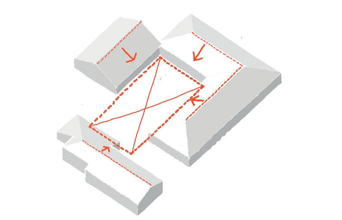
design criteria, their ridges are oriented parallel to the fronts that open onto the central courtyard, thus reinforcing the centrality of this place as the focal point of the complex. The visual continuity is also maintained through the characterisation of the walls, which, seek to contrast with the texture and colour of the terracotta tile roofs, the massiveness of their surfaces is stressed after being homogenised by the colour of their finishings. 9 Likewise, each of the volumes that compose this complex
significantly represents the function for which they were originally built: to respond to the need for shelter and a place for social gatherings (the family house), a place for the development of liturgical and spiritual activities (the chapel), and a complementary space for the development of the productive activities that were carried out in the mill and in the surrounding plantations and paddocks, activities on which the economic stability of the hacienda depended
[9] Ibid.
Perimeter corridor Legend
Existing structure
Office Storage room
Bathroom Kitchen
[Figure 23] The spatial distribution of the Family House. Drawing by the author, 2022.
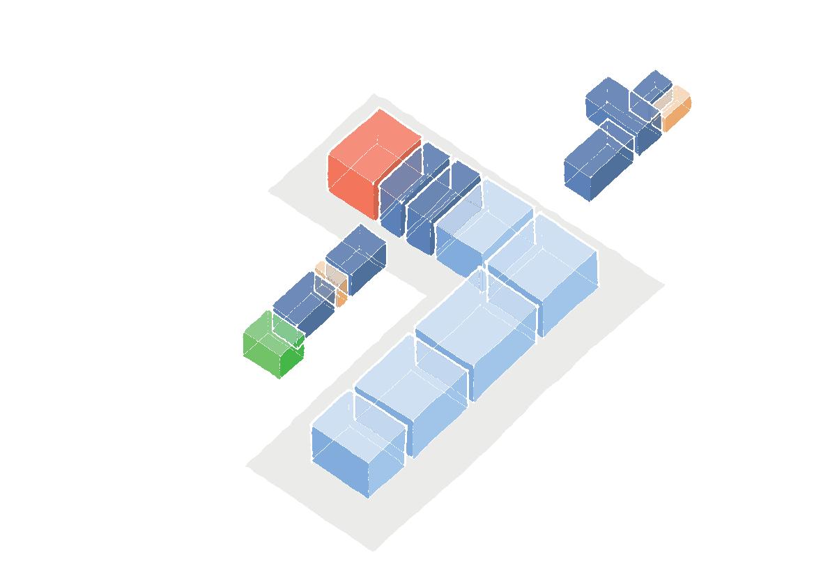
(the warehouse). These utilitarian conditions define the particularities that later distinguish each block when their individual characterisation is observed.
Another important component of this complex is the kitchen garden, which is located towards the north, isolated from paddocks nearby through fences. Its presence was primarily related to the activities carried out in the kitchen area since it features fruit trees, banana plantations and vegetables, which (with the exception of the banana trees) were part of the species of flora that characterise the tropical dry forest, common in this part of the territory. 10, 11
The volume of the family house consists of a single-storey construction, made up of two “L” arranged rows of rooms surrounded by perimeter corridors on all sides. Moreover, similar to other Casas de Hacienda, two of the opposite corners of the corridors were enclosed in order to extend the living area that was required as the family structure and production within the hacienda grew larger. 12 Due to this spatial configuration, the volume of the family house also acts as a boundary between the forecourt, the central courtyard and the kitchen garden,
an effect which in turn makes it possible to clearly distinguish the different conditions of intimacy required for each instance.
The rooms of the family house, of similar proportions both in plan and in section, are connected to each other and to the corridors leading to the exterior by means of centred openings (doors), which allowed them great versatility in their uses. 13 Unlike these, the complementary spaces, much smaller in their proportions, are located toward the façades and are thus exposed to solar radiation. Because of this, they are related to the exterior through small openings that seek to provide the interior with sufficient light to adequately serve the functions assigned to them while providing sufficient thermal comfort for their liveability. From the volume of the family house, it is also possible to distinguish the most characteristic feature of the Casas de Hacienda in the Upper Cauca River Valley, which is:
“[...] its imposing clay tile roof, the height of which exceeds that of the spaces behind the corridors on which it stands; the subdued and moderate grey colour of its tiles and the pronounced slope of the roof slopes give the impression of rising lightly and gracefully, defying its enormous weight, but without losing
[10] INCIVA, ibid, 56.
[11] Alvaro Erazo, video registration on 5 October 2020, Whatsapp conversation with the author, 23 March 2022, min 3:14.
[12] CITCE, ibid, 10.
[13] CITCE, ibid, 11.
contact with the land at its feet or interrupting the continuity of the horizon in the distance, with which it integrates harmoniously, qualifying and enriching them in a discreet manner thanks to its simple outlines, the matt tones of its parts and the elementary notes of its rhythms.” 14
Furthermore, the integration of rhythms of repetitive elements with a certain regularity and coherence, according to certain technical and structural logics, allows an even deeper reading of this volume. In the foreground are the wooden pillars, which frame the façades of the perimeter corridors by repeating (at not entirely uniform intervals) a single element until they cover the entire perimeter of the house. This rhythm is interrupted only by the enclosures added to the corridors, which in a certain way follow the modulation provided by the wooden pillars. On this same plane are also the railings, which connect the pillars and in turn compose themselves an iteration of small vertical elements that end up consolidating a spatial distinction between the corridor and the outdoor area. Next comes the rhythm of the openings that have been placed in the walls, the backdrop of the corridors. Lacking a precise and consecutive modulation, the door and window components alternate with those located in the added spaces,
[14] CITCE, ibid, 17.
[15] CITCE, ibid, 18.
[16] CITCE, ibid, 29.
which face outwards. 15
In constructive terms, the family house is composed of four clearly distinguishable construction systems: a punctual foundation for its load-bearing elements, structural walls in bahareque and minor divisions in fired clay masonry, punctual elements in wood that receive the roof while framing the façades, and a roof system in fired clay roof tiles supported by a “collar tie framing” structure. In general terms, all these construction systems incorporate the use of materials obtained from the surroundings of the house, i.e. they are construction techniques based on the use of earth, solid timber, bamboo and various vegetal fibres abundant in the surrounding landscape, with the only exception being the nails made in forge or smithy, which ensure the scissor tie of the rafters on which the ridge beam rests. 16
The foundations defined for the wooden pillars and the bahareque walls consist of the superimposition of two layers, one in boulders and the other in handmade baked clay masonry. The structural walls in bahareque, of considerable thickness (60-70 cm), 17 are made up of various elements with different functions: as the main core, there are solid timber columns of 30 cm in diameter, which initially work as punctual elements that receive the loads transmitted by the roof, and between which a horizontal laying of bamboo strips is arranged. Due to
[17] Valencia and Trujillo, “Análisis técnico-constructivo Hacienda Perodías,” 129-132.
the spacing that separates these wooden columns, vertical bamboo elements are also placed in between in order to help both in anchoring and overlapping the strips and in the containment of the earth filling. The latter, a key material for acquiring the appropriate thermal mass for indoor comfort, provides the greatest weight to the structure, giving it the necessary weight and rigidity to maintain the stability of this structure. 18 A layer of a mixture of mud and vegetable fibres then painted with lime, acts as both the interior and exterior finishing of these walls. As for the interior divisions in the additions, they were built in some cases in traditional bahareque, while others, of more recent construction, were built in handmade fired clay masonry, glued and plastered with calicanto and finished with lime paint.
The roof system, the main feature of these constructions, consists of a “collar tie framing” structure in round wood with irregular shafts, on which the surfaces of the slopes are covered with handmade terracotta tiles. This technique consists of a framework of wooden beams made up of two horizontal elements (the tie beams and the collar beams) and two inclined elements (the rafters and common rafters). Due to the coincidence of the latter both in number and position (because they are superimposed on the same vertical plane), it allows the upper end of the common rafters to start lower than the ridge beam,
which generates “the change of slope, which is pronounced in the highest part of the roof slopes,” a typical feature of this type of construction. 19
The additional formal values that can be identified in the family house are to be found in its ceilings and floors. The former, built with a reed wiring embedded in a mixture of mud and vegetal fibres, are located only in the rooms of the east corridor. Of these, the treatment of the ceilings above the main hall stands out, which has four carefully ornamented tie beams that peek out from below the horizontal plane of the ceiling. 20 This subtle detail is also evidence of the hierarchy established for the different rooms that make up the house. Also notable is the absence of horizontal ceilings in the perimeter corridors, a condition that distinguishes the older hacienda houses, where the ceilings followed the tilt of the common rafters. 21 With regard to the floors, there is a strong distinction in the treatment of these for the different spaces and between the corridors. On the one hand, the rooms and the southeast corridor have cement tile floors (in bright colours, installed in a more recent period) while the west corridor still has the original brick tile floor. The kitchen area and the surrounding corridor are finished with pebble stone floors.
[18] CITCE, ibid, 27.
[19] CITCE, ibid, 28.
[20] CITCE, ibid, 28.
[21] CITCE, ibid, 29.
Unlike other colonial temples located in urban square settings, places where their presence implies a strong symbolic dimension at the time of their construction, the chapels of the Haciendas present a less dynamic, more essential spatiality, focused above all on the execution of constructive practicality: a cubic geometry whose proportions barely manage to meet the structural requirements to delimit a space defined by the orthogonal arrangement of walls on which the roof system rests, which is also of a very elementary nature. 22, 23 The only aesthetic value they share with other temples of the period is the ceiling in the form of an inverted trough, a result of the construction system chosen for their “collar tie framing” roofs. As will be examined below, the case of the indoctrination chapel of the Hacienda Perodias is no exception to this construction logic.
The volume of the chapel can be understood as a small rectangular building (21 x 8 m), which is structured by thick load-bearing walls on which rests a heavy gable roof. 24 The chapel, organised in a single nave, presents a fairly elementary spatiality, which is organised according to a central axis in an east-west direction.
Thus, a succession of spaces follows this simple axiality: the porch, a covered and open space generated by the projection of the roof towards the exterior, is framed by two thick pillars, fulfilling the function of both a transition space between the forecourt and the interior of the chapel and a place for the performance of religious rites in the open, a possibility that also allowed the participation of a large number of parishioners. 25 Next, the nave, rectangular in plan and on a lower level than the porch, has two entrances, one coming from the east, directly from the porch, and the other on the north façade, in connection with the central courtyard. The presbytery, also rectangular in plan, is located next to the porch and has been spatially divided from the nave by raising its floor level and constructing a transverse arch, which plays the role of a symbolic transition between the two spaces. 26 Precisely, the existence of this element allows us to typologically relate this chapel to other temples built at the same time, as it was an element constantly used in the spatial fragmentation of this type of temple, which tended to have quite elongated proportions. 27
In addition, and outside the aforementioned spatial logic, the chapel has two spaces that can be understood as
[22] CITCE, ibid, 8.
[23] INCIVA, ibid, 46
[24] CITCE, ibid, 8.
[25] CITCE, ibid, 9.
[26] INCIVA, ibid, 47.
[27] Francisco Gil Tovar, “Características de los templos doctrineros” in Patiño, Arquitectura Religiosa,” 172.
volumetric additions: a shed and a store room, which are attached to its north and west sides respectively. In addition to differing aesthetically and constructively from the rest of the building, their function may not have been entirely linked to the religious activities that were carried out inside. These would have been provisional spaces for the organisation of materials and other inputs related to the productive vocation that became a major priority for the hacienda at a certain point in its history.
Respect to the construction systems
[28] CITCE, ibid, 25.
that constitute the chapel, it is made up of thick perimeter walls of adobe masonry, glued and plastered with mud and painted with lime, which oscillate between 60 and 80 cm thick. These continuous structural elements involve a layer of mediumsized boulder stone as their foundation, approximately 40 cm high and slightly wider than the wall resting on top of it. In addition, above this stone layer are two courses of handmade fired bricks that are aligned with the floor level. From these, the adobe bricks that make up the walls are laid. 28 Likewise, as reconstructions
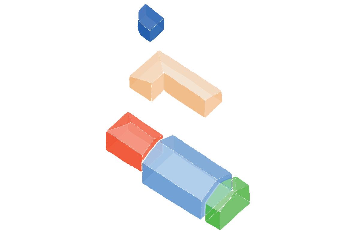
Storage room Legend
Work area Grain drying area
[Figure 25] The spatial distribution of the Chapel. Drawing by the author, 2022.
executed in later times, two walls built in masonry can be identified, one in handmade fired brick and calicanto mortar, without plaster, and the other in industrial fired brick and cement mortar,
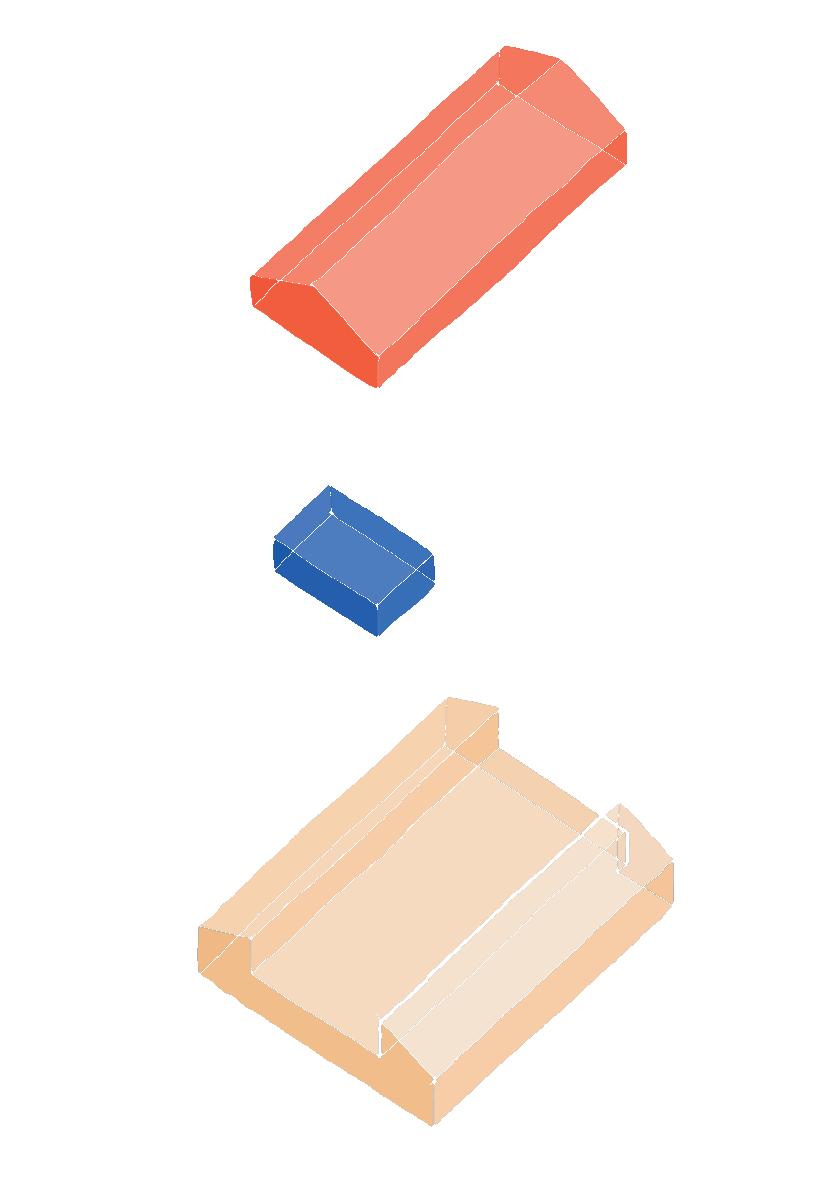
also without plaster, both located on the southern façade of the chapel. 29 Similarly, the service space adjoining the presbytery is also built with walls of baked brick and cement mortar, although not plastered,
[29] CITCE, Valoración Afectaciones Perodías, 8.
and finished with white vinyl paint.
On this system of load-bearing walls rests the gable roof system with a structure of round timber in “collar tie framing” and fired clay roof tiles. The slope of the roofs was also extended for the roofs over the service area behind and next to the presbytery. With regard to the existing floor surfaces in the chapel, it is possible to differentiate them according to the space to which they refer: inside, in the presbytery area, it is possible to identify a fired brick floor on natural ground, and above the nave, a 20 x 20 cm cement tile floor installed on top of the original rammed earth floor that was painted with lime. The floor of the porch, on the other hand, has a cement mortar finish, built on top of the original floor of handmade fired brick. 30
Located on the west side of the central courtyard of the complex, this building was initially conceived as a response to the need for additional covered space that was required after the activities that took place inside the sugar mill exceeded its capacity. In the warehouse, activities complementary to the production of sugar bread were carried out, together with tobacco drying, crop storage and general storage. 31
As a ventilated space protected from the weather, its spatial organisation follows the typology of aisles (three in total), of which the central one, the largest, rises to a second mezzanine level, increasing the working area of the building, thus making it the only construction to have more than one level. 32 With a simple volumetrics, this rectangular building orients its longest façades, as well as the slopes of its roofs, with respect to the central courtyard, thereby leaving the shorter façades exposed to the inclemency of the weather and, therefore, turning them into surfaces that need to be protected by the construction of more consolidated walls. In general terms, this is the building with the fewest interventions. Its structure consists of a simple set of elements that are repeated coherently in the space they cover. Considering the spatial determinants for which it was conceived, this structure has as its central axes five pairs of abutments built in handmade fired clay masonry, glued and plastered with calicanto mortar and finished with lime paint. These receive a gable roof system in a wooden structure in “collar tie framing”, which is also supported by a wooden portico structure that frames the longest façades, thus allowing them to function as a constant source of ventilation to and through the building. 33 At the ends, exposed to the inclemency of the weather, there are end
[30] Ibid.
[31] CITCE, Urbanismo y Arquitectura Perodías, 12.
[32] INCIVA, ibid, 52.
[33] CITCE, Valoración Afectaciones Perodías, 9.
walls in traditional bahareque, plastered with mud and painted with lime. Some of these were replaced over time by masonry walls of fired brick and cement mortar and plaster. The treatment of its floors was possibly determined after considering the operability and practicality required for the uses that were to be performed inside. Thus, on the ground floor, there is a floor made of 20 x 20 cm fired brick slabs, 34 while for the mezzanine a wooden structure was first established, anchored to the masonry abutments, and also supported by extra wooden pillars that are arranged in line with the rhythm of the rest of the elements. A wooden plank deck was placed on top of this.
Although it may happen that the first impression left by the warehouse is that of an object much less expressive than the other volumes that form part of the complex, it is worth mentioning that
“[...] it is the very structure of this warehouse what contains a categorical formal value, without failing to transmit a general impression of rusticity, [...] which, responding to rigorous technical and functional requirements, conveys a solid impression of beauty, associated with the careful and meditated positioning of its elements, their rhythmic and harmonious distribution, the regularity of their distances and measurements, the reiteration on different planes of their sequences, all of which gives way to an ordered whole, in which both the forms of groupings of its elements and the hierarchies between them are immediately perceptible: thick pillars, braces, sills, pairs, overpairs, pawns, knuckles, etc.” 35
[34] CITCE, ibid, 9.
[35] CITCE, Urbanismo y Arquitectura Perodías, 23.
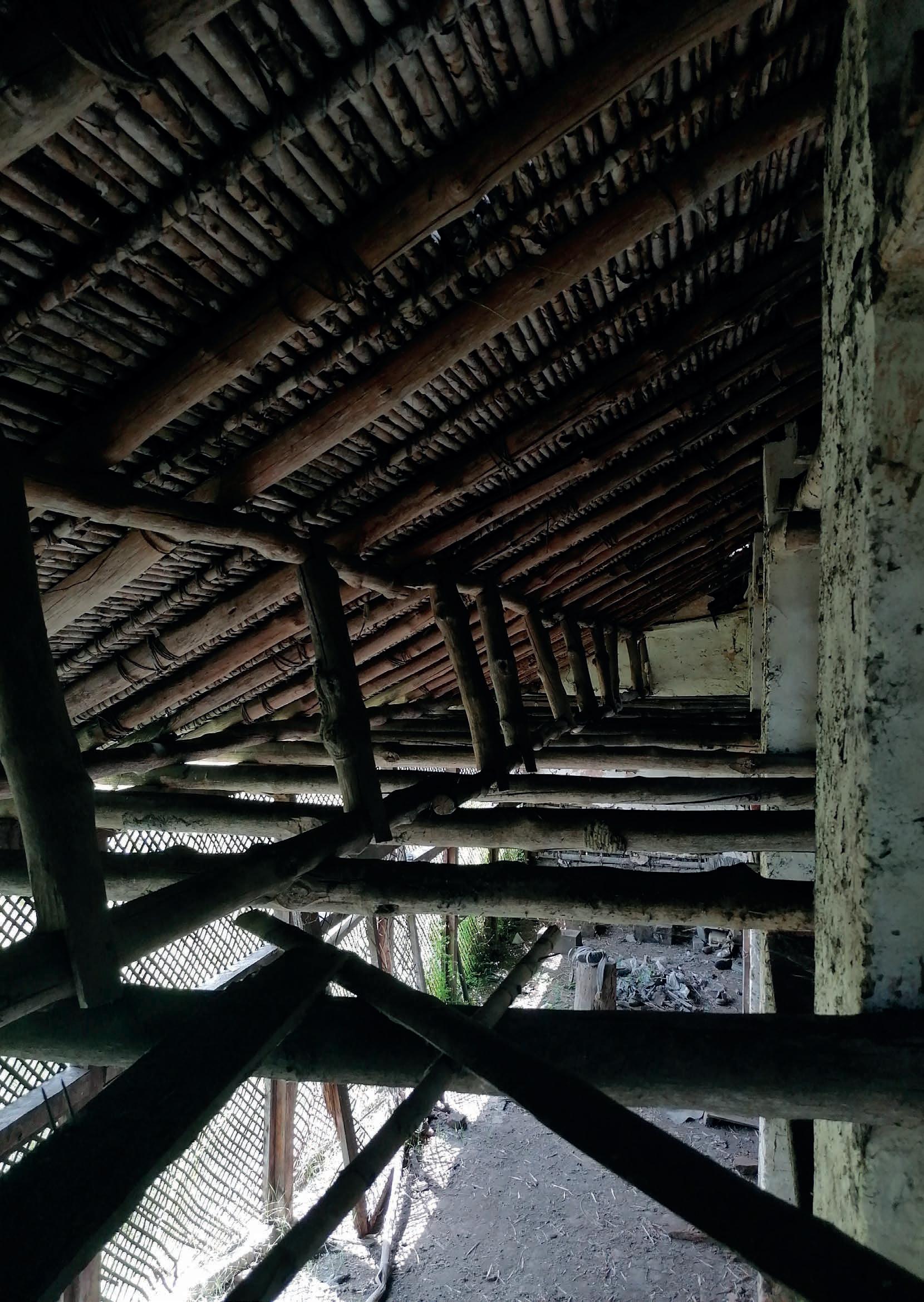
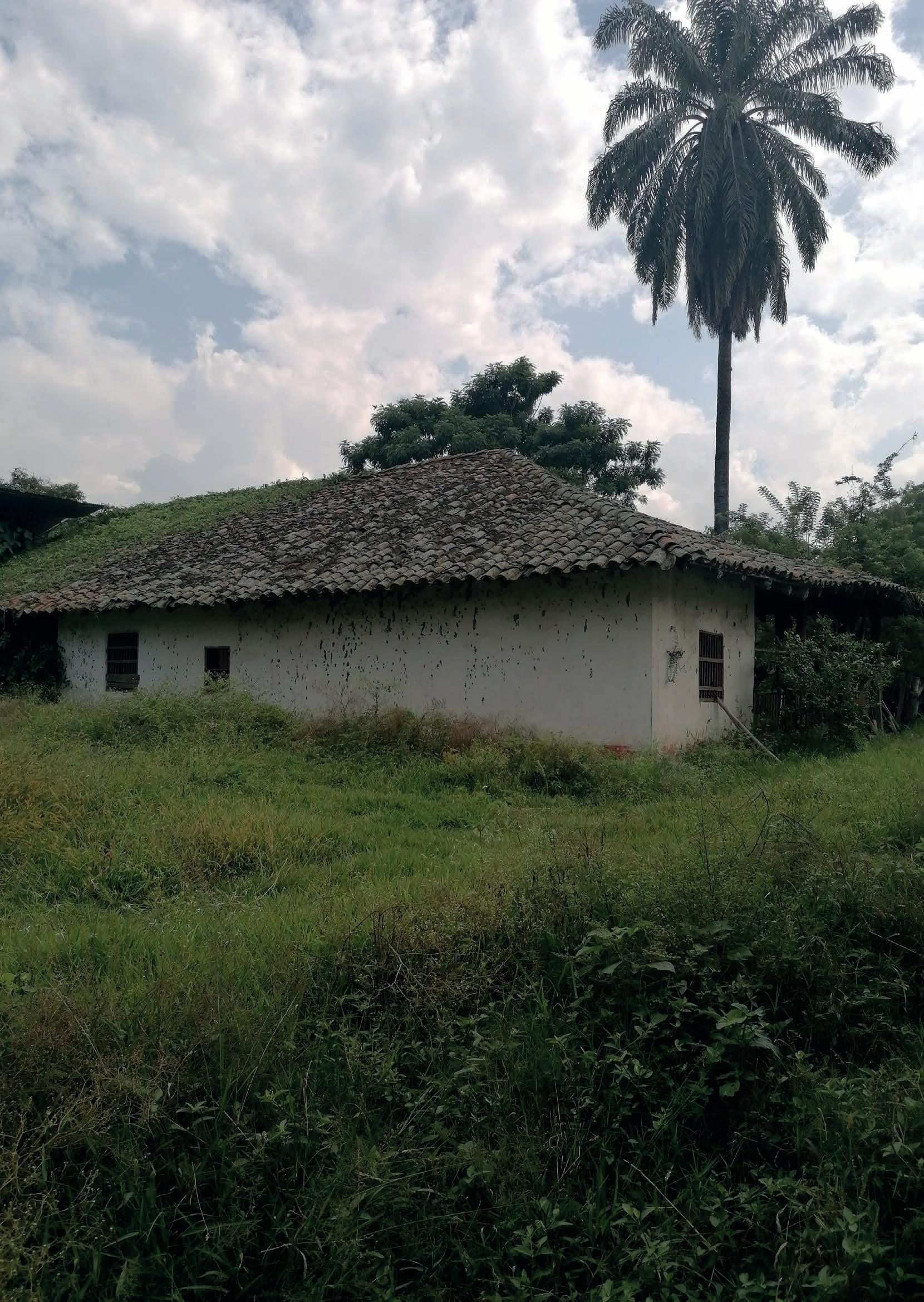
The history of the Hacienda Perodias leads us to think about a series of processes that were carried out in this territory from the first decades of the XVI century, when the first Spanish settlements were established in the area, together with the task of the religious orders in the conversion and evangelisation of both the indigenous communities that resided there and the African slaves who were used as labour force in the haciendas and plantations that spread from the end of the XVIII century, until a little more than half of the XIX century, a period in which their civil freedom was finally decreed. The Hacienda Perodías, like the other haciendas in the region, due to its productive and economic importance, would also play a key role in the constitution of new settlements during the construction of the Republic and in the characterisation of the region that would mostly concentrate by the XX century a large part of the industrial production of sugar cane by-products in the country.
In order to delve deeper into the different historical moments that converge in this hacienda, these have been understood and organised into four different stages. Of those, two can be
grouped during the colonial period: an initial moment in which the hacienda was a property of religious orders intended to be an auto-sufficient mission, during the early decades of the XVII, then, the consolidation of the hacienda in all its meaning, in the sense that its productive activities overcame its spiritual purposes, by the second half of the XVII and throughout the XVIII centuries. Later, in the midst of the process of independence and reorganisation of the territory, the hacienda, whose economic activity was already preponderant, would play a key role in the structuring of the nearby settlements and in its consolidation as an influential livestock hacienda and sugar plantation in the southeast of the valley, all this throughout the XIX and the first half of the XX centuries. However, this was short-lived due to the public order problems that plagued the country at the end of the XX century, which prevented it from being frequently visited until it fell into total abandonment. This would be briefly interrupted by its recognition as a national monument on the eve of the new millennium.
From this historical background,
[Figure 27] The Family House, observed from the Chapel’s shed. Photo taken by the author, 2022.
it will be possible to have a general understanding of the different moments and socio-economic conditions that were in turn reflected in the constructions: their emergence, physical evolution and gradual dismantling. These construction phases will be concentrated in a final section and will cover the description and analysis of the physical appearance that the architectural complex of the Hacienda Perodias portrayed during each historical moment previously analysed.
communities, among which the Gualos, positioned close to the Cauca river, and the Pijaos and Bugas, that occupied the foothills of the Central Cordillera, stand out. 1 Due to this condition, in comparison to other settlements in the vicinity, such as Jamundí (then Villa Ampudia) established in 1535 and Santiago de Cali, the following year, only at the end of the XVI century and the beginning of the XVII century would it be proclaimed and occupied by the Spanish Crown. 2, 3
The Jesuit Hacienda
The establishment of the Hacienda Perodias dates back to the first decades of the XVII century, shortly after the first Spanish settlements were founded on the right bank of the Cauca River, which was larger and provided sufficient territory and resources for the establishment of productive units for both livestock and food products. This territory, known at that time as “Llanogrande” or “La Otra Banda” [the other belt], was occupied and strongly defended by indigenous
Precisely, as part of those efforts for the physical and spiritual control of this part of the territory, and also considering that by then the religious orders were fully empowered to legally constitute themselves as owners of real estate, 4 the Crown ceded 39 hectares to the Society of Jesus to be used as a self-sufficient missionary centre and thus consolidate its position of dominance in this area. 5 Thus, by Cédula Real [Royal Decree], these lands were given in 1630 to the Jesuit bishop Pedro Díaz Cienfuegos, bishop of Popayán, to establish an estancia consisting of a dwelling house and a chapel. With this, the hacienda, in addition to fulfilling its role within the religious mission carried out by the Order, “served as an economic enterprise that carried out activities
[1] INCIVA, Plan de manejo arqueológico Hacienda Perodías, 21-22.
[2] Ibid, 25.
[3] Fundación Patrimonio (Florida Patrimonial), “Casa de Hacienda Perodías, reseña histórica y proyecto de restauración integral,” video presentation, Facebook, 25 August 2013, min 0:40, https://fb.watch/d2wYGgnoZV/
[4] Germán Colmenares, Las Haciendas Jesuítas En El Nuevo Reino de Granada (Bogotá: Universidad Nacional de Colombia, 1969), 27.
[5] Valencia and Trujillo, “Análisis técnico-constructivo Hacienda Perodías,” 116.
such as planting sugar cane, cocoa and bananas, and raising livestock for local and regional sale [...]”. 6 A few decades later, the productive activities were first registered in documents that date back to 1667, registries that can be found in the Central Archive of Cauca, located in Popayán. These refer to one of the first owners of the hacienda, Captain Cristobal de Silva Saavedra, along with the shipment of 521 cattle to the city of Popayán, the urban centre from which the religious and productive work of both Perodías and other Jesuit haciendas located in the same part of the region was supervised. 7
a point of reference in the area. Although these dynamics would be managed mainly by religious orders, first with the Jesuits and later with Franciscan priests from the Province of Popayán, 8 after the expulsion of the former from the Spanish territories in America in 1767, the point of greatest economic stability within the hacienda would come during the administration of the Barona family, who acquired the property by the end of the XVIII century. 9
Faith and countryside: the livestock hacienda
The productive activity permitted the economic viability of the hacienda to be maintained throughout the second half of the XVII century and the beginning of the XVIII century. Following the official constitution of the Viceroyalty of New Granada in 1739, the socio-economic conditions of the region reached a point of stability that allowed the activities carried out within the hacienda to be consolidated with greater vigour, positioning it also as
By that time, the hacienda, which had an incipient architectural structure, was primarily intended for the production of food and the sale of surplus. The chapel, on the other hand, went from being a missionary centre to being used for the exercise of the Catholic rites of the owner’s family and the community adjacent to the hacienda, but more forcefully, to be used as a place of indoctrination for the slaves, who represented the largest percentage of the labour force used on the plantations, as was common for Catholic temples located on haciendas. 10
It is possible to suppose that, on the basis of the strong capital generated by the hacienda through its agricultural and livestock activities, in correspondence with the spiritual role for the nearby communities that it had also acquired
[6] INCIVA, Plan de manejo arqueológico Hacienda Perodías, 26.
[7] Ibid, 28.
[8] Valencia and Trujillo, “Análisis técnico-constructivo Hacienda Perodías,” 115.
[9] Fundación Patrimonio, “Perodias, reseña histórica,” min 1:07.
[10] Barney and Ramirez, “Capillas y oratorios en las casas de hacienda” in Patiño, Arquitectura Religiosa, 152.
through the presence of its chapel, the Barona family endowed the hacienda with a chaplaincy, which they ran until the first half of the following century. 11
The XIX century brought with it various political and social changes that ended up drastically affecting the rhythm of life of those who lived in this territory. On the one hand, there were military conflicts that resulted in the constitution of the country as an Independent country from the Spanish Kingdom, and on the other hand, the subsequent social and political uncertainty expressed in the reorganisation of the territory constantly until the last decades of that century.
The Hacienda, which for the first two decades of the XIX century was still owned by the Barona family, participated in events in favour of the independence cause with the Franciscan priests Miguel and José Ignacio Barona, members of that family, who after being persecuted during the Spanish reconquest campaign found refuge in the Hacienda. 12 From 1819 onwards, when the country’s Independence was finally decreed, new
forms of land tenure were generated in the Colombian territory and the geographical valley of the Cauca River in particular, including the sale and fragmentation of large estates. It was through this new modality that new urban centres such as Palmira, Candelaria, Pradera and Florida would emerge a few years later. 13 The latter was first constituted as Parroquia de Perodías (Perodias Parish), possibly located on the Hacienda itself, and by 1825 it would be moved to the right bank of the Fraile river, on land that belonged to the adjacent Hacienda El Pedregal, to be later renamed Florida by the Supreme Government of Cauca in 1833. 14
The hacienda would pass through different owners, among them the Bedoya family, who held it until 1850, then it passed into the hands of the Conde family and was later acquired by the Restrepo-Plata family in 1898, who would be its owners for a little over a century. 15, 16Under their management, the productive vocation of the hacienda was that of a sugar mill, following the incipient technological improvement in the production of sugar cane by-products. With that new purpose, the Restrepo-Plata and the Hacienda Perodias entered not only a new century but what was also its last historical phase.
[11] INCIVA, Plan de manejo arqueológico Hacienda Perodías, 29.
[12] Ibid, 30.
[13] INCIVA, Plan de manejo arqueológico Hacienda Perodías, 29.
[14] Ibid, 32-33.
[15] Ibid, 36.
[16] Fundación Patrimonio, “Perodias, reseña histórica,” min 2:08.
[Figure 28] The Hacienda Perodias during the early decades of the XX century. Images property of the Photographic and Film Archive of Valle del Cauca, Departmental Library “Jorge Garcés Borrero”.
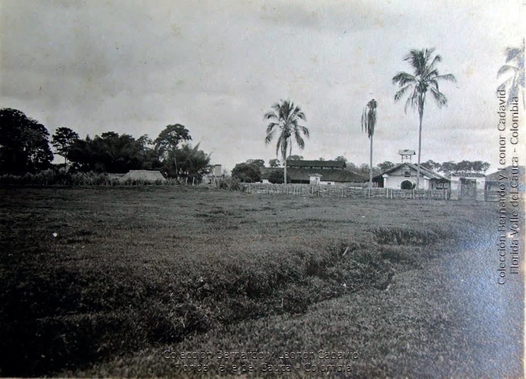
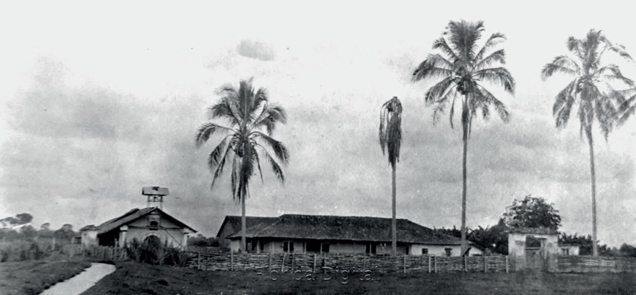
[Figure 29] The Chapel of the Hacienda Perodias, observed from the west. It is possible to distinguish the volumes of the shed and the store room juxtaposed to the presbytery walls.
Photo by Fernell Franco, 1965.
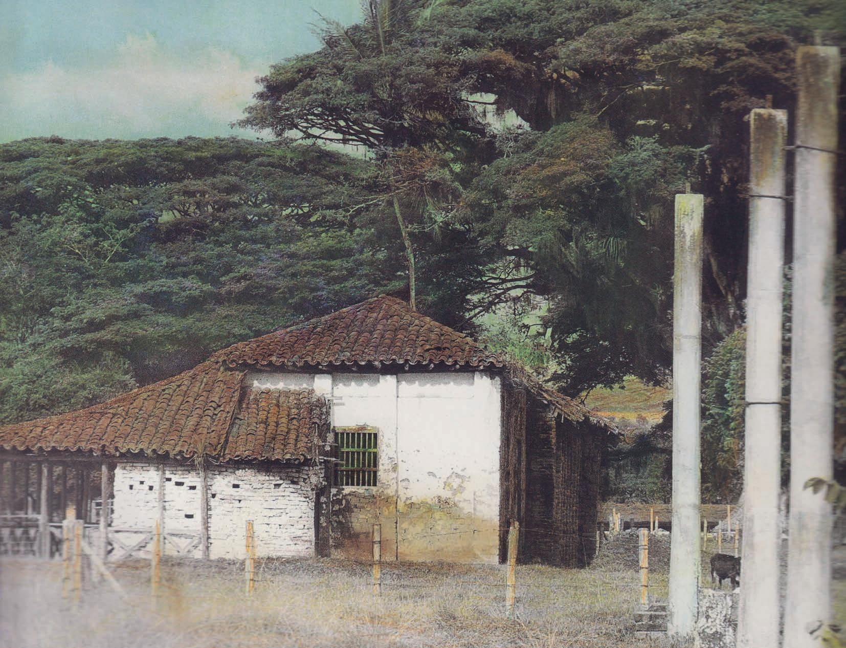
The XX century represents a period of great contrasts in the history of the Hacienda Perodías: on the one hand, the climax of its agricultural and livestock production, which positioned it as one of the leading sugar mills in the recently constituted Department of Valle del Cauca (1910), and on the other hand, the decline and stagnation of its activities until it was completely abandoned by the end of the century.
The first decades of the XX century were a time of economic boom for the hacienda. By 1920, the property had a diversified crop of cocoa, tobacco, corn, rice, coffee and sugar cane, the latter being its main crop along with cattle production, of which it also had a large number of heads. 17, 18 Of this moment of prosperity for the hacienda, it is possible to see the note published in 1928 in the local almanac Almanaque de los Colombianos, which was also accompanied by a photo (see figure 28). According to that publication, it is possible to discern that at the time, “the Hacienda de Perodías [was] rich in drinking water, as it is bordered by the Fraile river to the north and crossed by the Las Cañas stream to the south. This allow[ed] its owners to easily irrigate the land in its
entirety.” 19 Some photos taken around the same time portray that the hacienda also had other buildings organised around the main architectural complex, which suggests the level of production that it could have had in this same decade. 20
Towards the end of the 1930s, in order to take a step forward in the competition with the Manuelita sugar mill and others that started to emerge at the beginning of the century, the Restrepo-Plata family decided to make a large investment in the purchase of more modern machinery for the assembly of the new Perodías sugar mill. However, their efforts were frustrated after the ship carrying the new equipment sank en route from Buffalo (US) to the port of Buenaventura, on the Pacific Ocean, after being attacked by German submarines. 21 This unfortunate event led to a serious financial crisis that implied the sale of part of their land to pay off some of the debts left by the investment, as well as the rethinking of many of their productive objectives, which, by 1945, would prioritise cattle production and the cultivation of coffee and cocoa over sugar cane. 22
After the period of violence in Colombia (1948 1957), the Restrepo-Plata family moved their main house to the city of Cali due to the latent security problems
[17] INCIVA, Plan de manejo arqueológico Hacienda Perodías, 36.
[18] Barney and Ramirez, Arquitectura Casas de Hacienda, 29.
[19] CITCE, Urbanismo y Arquitectura Perodías, 2.
[20] CITCE, Urbanismo y Arquitectura Perodías, 3.
[21] INCIVA, Plan de manejo arqueológico Hacienda Perodías, 40.
[22] Fundación Patrimonio, “Perodias, reseña histórica,” 2:46.[
[Figure 30] The Family House, observed from the South-east. Photo property of Oscar Ibague Sanchez, personal digital archive, 1987.
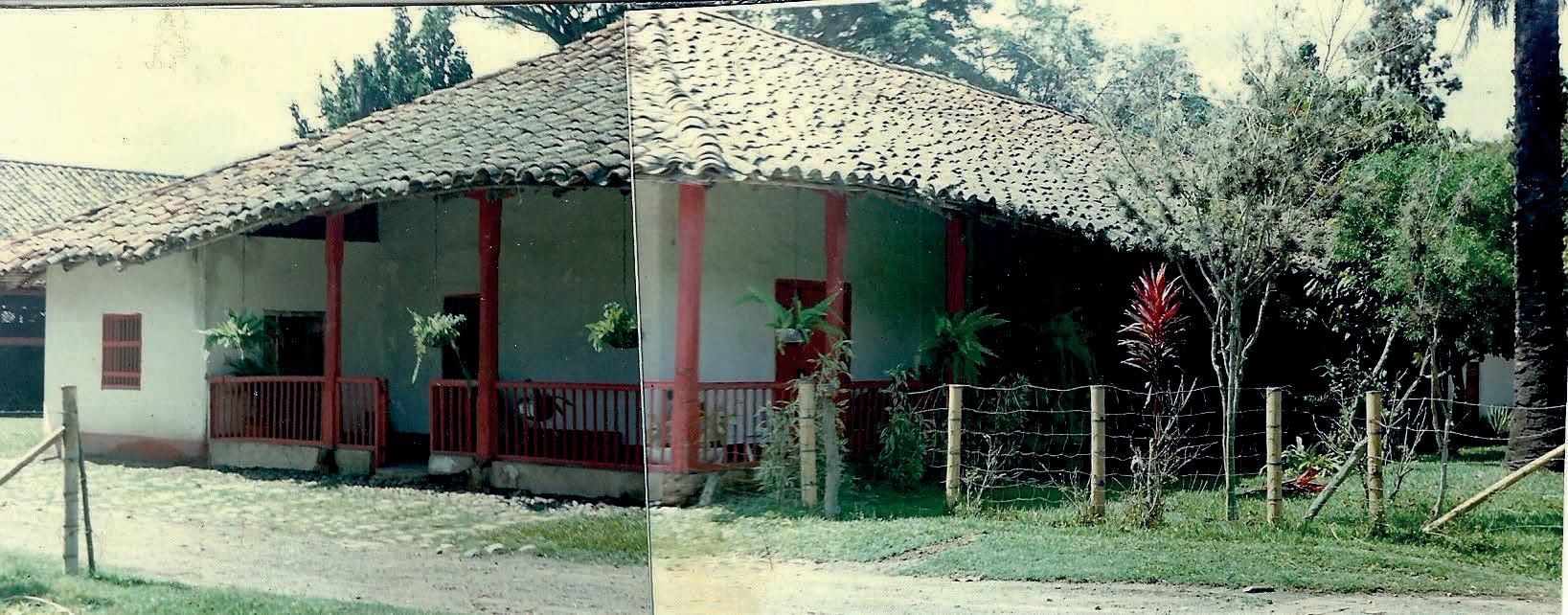
that mainly affected the rural areas of the country. 23 From then on, the hacienda would acquire a vocation as a place for recreation and holidays for the family and their relatives, in parallel to their agricultural activities, which by this point no longer represented the main source of capital for the owner family. Furthermore, the security problems in which the country would be plunged throughout the 1980s and 1990s practically prevented the owners from revisiting the hacienda’s land, and they were forced to decide to rent it to the most prominent sugar mills in the region for extensive sugar cane cultivation. 24
The building complex, meanwhile, after having been completely abandoned following the decline of the activities that once gave it shape and life, was recognised, along with 16 other haciendas scattered throughout the region, as a National Monument in April 1996. 25 That achievement was part of the efforts of academics and professionals related to architecture who saw in these exemplars an expression of how a society consolidates and transforms itself through a determined period of time, being in this case, the evolution of a society within a territory (the upper valley of the Cauca
[23] Ibid, min 2:58.
[24] Ibid, min 3:10.
[25] INCIVA, Plan de manejo arqueológico Hacienda Perodías, 40.
River) and determined resources (land and vegetal fibres) with which it created refuge and appropriated them until they became part of a constructive tradition. A new perspective towards these mainly utilitarian objects that were placed in the landscape was what allowed them to be recognised, although it is worth asking whether this might be enough to guarantee their permanence. The move into the new millennium will provide some possible answers for the future of the hacienda and the continuity of its legacy.
Based on the reports of the archaeological and architectural analyses of the existing structures of the Hacienda Perodias, carried out respectively by INCIVA and CITCE in 2018, it is possible to visualise a first construction phase of the architectural complex of the hacienda, settled by the middle of the XVII century. 26, 27
At this point, Perodias was an economic enterprise that carried out activities of planting sugar cane, cocoa and bananas, and raising livestock for local
and regional sales, that is, it managed vast territories necessary for regular farming activities, so it was required to have a series of buildings in which these could be administered. On the one hand, the family manor house, which would be located in a privileged position within its grounds, was the main seat where the overall development of the hacienda’s activities was managed, and it was also the place for social gatherings, usually of a formal nature. On the other hand, the sugar mill, non-existent today, which by then was located to the southwest of the complex, housed the preparation of sugar cane products, mainly sugar bread, and the storage of harvests. 28
At the same time, the Hacienda, which was by then owned by the Society of Jesus, was continuously used for the evangelisation of the indigenous people living nearby, and for the indoctrination of the slaves who were used to work in the fields. This could imply that, as a necessary space for the development of such religious activities, by the second half of the XVII century, the chapel was also part of this construction phase.
The family house, located parallel to the forecourt, had in its beginning an I-shaped layout consisting of four rooms of relatively equal proportions, connected internally through doorways, without
[26] INCIVA, Plan de manejo arqueológico Hacienda Perodías, 25-60.
[27] Centro de Investigación Territorio, Construcción y Espacio (CITCE), Memoria Ilustrada de La Valoración de Las Afectaciones Del Conjunto de Edificaciones Hacienda Perodías En Florida, Valle Del Cauca (Cali: Universidad del Valle, 2018), 6-16 & CITCE, Urbanismo y Arquitectura Perodías, 7-13, 32-34.
[28] INCIVA, Plan de manejo arqueológico Hacienda Perodías, 26.
windows, and externally by a perimeter corridor delineated by a relatively-steady repetition of wooden pillars and railings in between. These massive walls were built in traditional bahareque, sustained by thick round wood pillars, finished with lime paint, and received the load of the collar tie framing that supported the roof, through the sills. The kitchen was an isolated building different from the house at that time, delimited only by four abutments, and was possibly the only space that hosted consistently the same use throughout the active period of the hacienda. While all the chambers and corridors of the family house presented a fired clay tile floor, the kitchen area had cobbled ground. 29
As for the chapel, by the end of the XVII century, the building was already organized in a rectangular layout enclosed by thick walls of adobe masonry, mud mortar, mud plaster and lime paint on both sides. 30
Following the spatial sequence from east to west, the front porch presented a handmade fired clay tile floor, the nave had a rammed-earth floor finished with lime paint, while the presbytery, at a higher level than the nave, exhibited a handmade fired clay tile floor. The transverse arch, which is still distinguishable today, is itself the suggestion that it was already built in the early periods of the chapel. Intended to be the spatial division between the nave and the presbytery, this element can
be also appreciated in other examples of concurrent religious indoctrination temples spread around the region. 31
With respect to the roofing system of the chapel, both the nave and the presbytery had a collar tie framing structure, similar to that of the family house, although they differed in the height of their respective ridge beams. Above the front porch, protruding the roof, four small posts supported a wooden structure that housed the chapel bell. This belfry-like structure was an important element that contributed to highlighting the building while reinforcing its hierarchy within the complex. The chapel’s belfry was topped by a canopy that served as its coping and whose ridge was perpendicular to the façade. This configuration of the roofing system in the chapel would be sustained during most of its active life. 32
With the passing of the XVIII century, the society that inhabited the upper valley of the Cauca River had found such a point of economic and social stability that the productive vocation that many of the existing haciendas had by then was enhanced. In the case of the Hacienda Perodías, its agricultural activities acquired enough extent to require the
[29] CITCE, Urbanismo y Arquitectura Perodías, 32.
[30] CITCE, Valoración Afectaciones Hacienda Perodías, 8.
[31] Francisco Gil Tovar, “Características de los templos doctrineros” in Patiño, Arquitectura Religiosa, 173.
[32] CITCE, Urbanismo y Arquitectura Perodías, 32.
[Figure 32] Construction Phase I (from the mid-XVII to early XVIII centuries) Graphic by the author, 2022
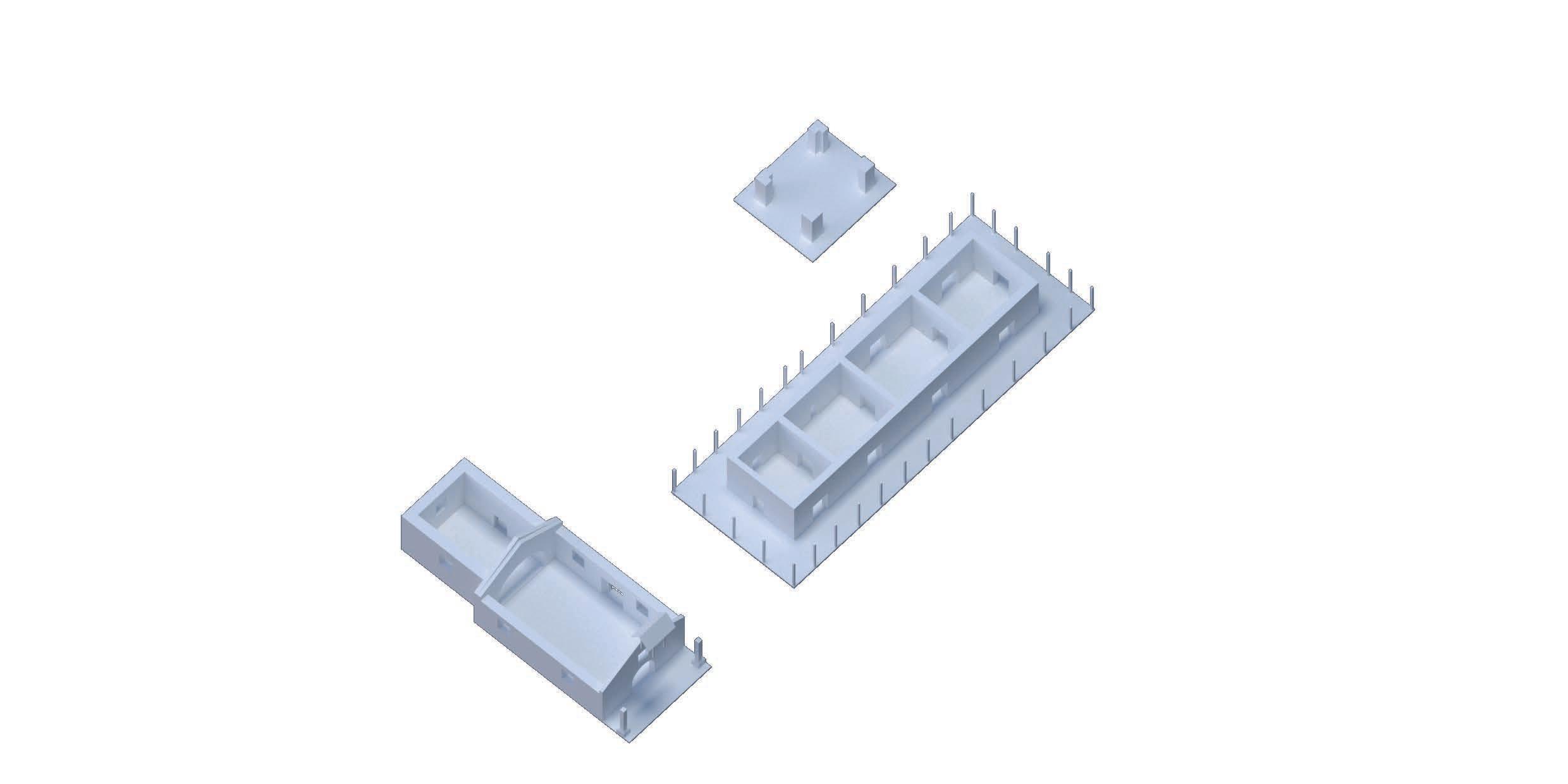
expansion of primarily the living and the productive spaces. In this manner, a couple of adjustments were applied to respond to the new economic and social circumstances in which the hacienda found itself in that century.
First, in the family house, the northeast and southwest corners of the perimeter corridor were enclosed in order to make room for new living areas and bathrooms on both sides of the building. Those new walls, narrower than the original partitions, were built in bahareque and plastered with mud mortar and finished with lime paint. 33 Next, in response to the spatial requirements of a growing demand for food products in the neighbouring towns, the warehouse was built next to the kitchen. It was intended to be a new storage area close to the kitchen activities but principally ancillary space to the sugar mill, whose productive activities had already exceeded its capacity. The new building, conceived as an open and permeable structure, was organised as a large space of a relatively symmetrical section that was split into three naves. The central nave, with the largest span, was delimited by a pair of handmade brick masonry abutments, while the lateral naves were framed by a rounded wooden structure on their respective façades. From the start, the warehouse had a handmade fired clay tile floor and was covered with a roof system that followed the same logic as the other two buildings, a collar tie framing
that sustained a gable roof in fired clay roof tiles. Its spatial configuration meant that the pairs of parallel façades differed in length. In this manner, the shorter façades were enclosed with bahareque walls while the longer ones were left open, delimited only by the wooden pillars that received the roofing structure. 34
A succeeding constructive moment for the hacienda came in conjunction with the social and political reorganisation of the territory, which by 1819 was fully defined as an independent republic. In a region already strongly distinguished by its agricultural character, with the growth of the family structure and an economic boom due to its own production, the hacienda would be rearranged in order to meet all these new needs. 35
This time, the kitchen, which was initially an isolated volume from the house, was incorporated during the enlargement of the family house towards an L-shaped spatial configuration, consolidating not only a new wing facing to the north-west, to the kitchen garden, but especially the urban character that henceforth characterised the architectural complex of the Hacienda Perodías: the conformation of a courtyard or patio that could have brought together at its peak the various dynamics that concerned not only the
[33] CITCE, Valoración Afectaciones Hacienda Perodías, 7.
[34] CITCE, Urbanismo y Arquitectura Perodías, 12. [35] Ibid, 33.
[Figure 33] Construction Phase II (along the XVIII to early XIX centuries) Graphic by the author, 2022
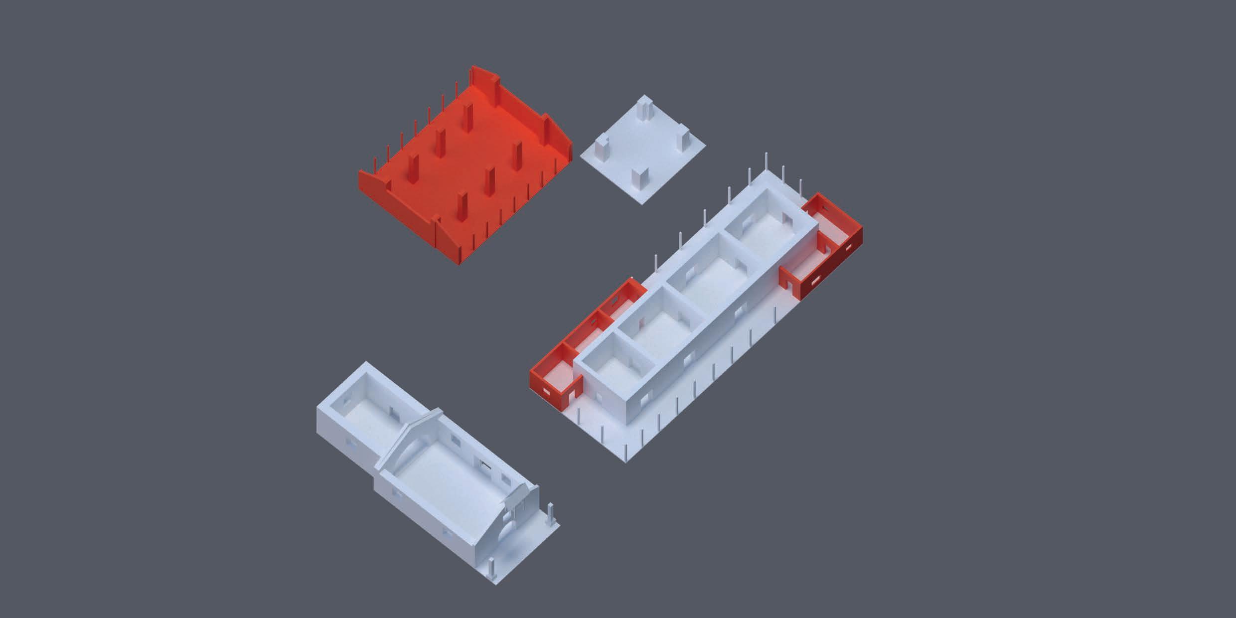
family house, warehouse and the chapel, but the other buildings settled in their vicinity. 36 In this enlargement, the new enclosures and division walls were built in bahareque, plastered with calicanto mortar and finished with lime paint. The roofing structure for the new wing sought to continue the existing roof that covered the original portion, a collar tie framing structure and fired clay roof tiles as the final layer on top. The jointing between the roofs of the north wing, which comprised the already-existing kitchen roof, and the warehouse may be precisely the key to picturing the discordance of their constructive periods, which, if built at the same time, would have been solved in a cleaner and a more integral way. 37
The chapel, on its part, suffered multiple interventions: from one side, the walls located in the west and south façades of the presbytery were rebuilt, the first during the first half of the XIX century, in adobe masonry, bonded with mud mortar and finished with lime paint, while the other, carried out by the end of that same century, was rebuilt in handmade fired bricks bonded with calicanto mortar and left without plaster on both sides. From the visual analysis of these walls it is also possible to hypothesize that, in addition to differing in their materiality, the proportion of openings, smaller in the west wall,
similar to those existing in the space of the nave, the openings in the south wall were already part of a stylistic leap influential during the realization of these works. 38 Although the period of construction of the transverse arch and the subsequent blockage of the space below with a new partition is not completely clear, it is possible that the latter was executed during the reconstruction of the perimeter walls around the presbytery, taking into consideration that the stability of the arch would have been compromised during these works. Moreover, during this same period, its roof was extended in order to make room for stables on both sides of the building, one located next to the nave on its south façade, and the other, next to the presbytery, on its north and part of its west façades. 39
Additionally, In order to meet the new requirements of agricultural production, the warehouse was equipped with a floor slab in round timber and a boarding deck over the complete area of the central nave. Shortly afterwards, due to the enormous loads that the mezzanine had to support, the beams connecting the abutments were reinforced by placing new timber supports at mid-span between them. Besides that, this building would retain its volume and finishings practically intact until at least the middle of the following century. 40
[36] Ibid, 32.
[37] CITCE, Urbanismo y Arquitectura Perodías, 32.
[38] Alvaro Erazo, WhatsApp video registered on 5 October 2020, shared through personal communication on 23 March 2022, 6:38.
[39] CITCE, Urbanismo y Arquitectura Perodías, 9.
[40] Ibid, 12.
[Figure 34] Construction Phase III (from early XIX to mid-XX centuries) Graphic by the author, 2022
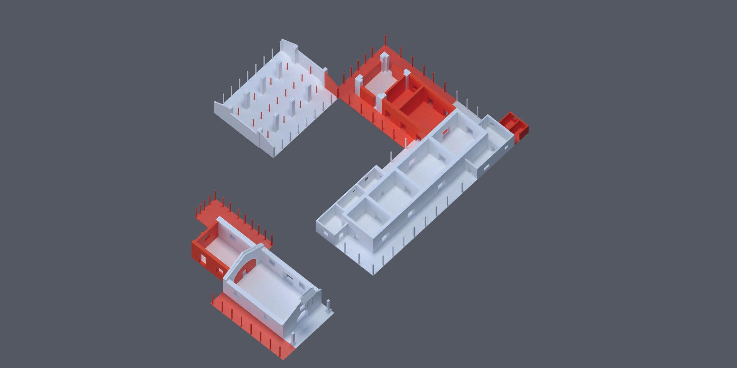
The last phase of the hacienda’s constructive development began in the middle of the XX century, a period that would imply both adjustments in its agricultural production, which shifted its focus to crops other than sugar cane and cattle after overcoming a financial crisis during the previous decades, and the beginning of profound social conflicts that would particularly affect life in rural areas of the country. 41 As a result of this, the family, having transferred by the time their main residence to the urban area of the region’s capital, Cali, used the hacienda as a recreational and summer place for themselves and their acquaintances, parallel to the agricultural activities that were still carried out, although with a much lesser extent than that of previous times. 42
It is important to consider that, by 1950, most of the materials used in the interventions had enough production volume to be widely used in construction, even at the local level: sawn lumber, industrially fired clay bricks, Portland cement, vinyl paintings and metal sheets, to name a few, were easily acquired in the nearest urban centres. The availability of these together with the generalization of “modern” construction techniques in the population were decisive during the
execution of the last interventions in the hacienda, which from then on would take a certain distance with respect to the traditional earth construction techniques that characterized until then the buildings of the hacienda and mainly the rural architecture of the region.
The change of use of the hacienda as the family’s main residence to a summer farm was reflected first in the disappearance of several of the complementary buildings that were linked to the intensive productive activities that had been carried out until the third decade of the century and in particular to those products derived from sugar cane, such as the sugar mill. The change of primary vocation would later be definitive with the construction of two new structures located in the northeast area next to the family house: the swimming pool and the water reservoir, the latter being a vertical structure in fired clay brick masonry, without plaster, whose tank, located above it, would be made of sheet metal reinforced with iron angles. 43 For the rest, some reconstructions of walls would be carried out inside the family house, particularly those located in the north wing and in the rooms constituted by partially closing the perimeter corridors of the east wing in previous phases. Those walls, originally built in bahareque, were rebuilt using fired clay masonry, cement mortar
[41] Fundación Patrimonio (Florida Patrimonial), “Casa de Hacienda Perodías, reseña histórica y proyecto de restauración integral,” video presentation, Facebook, 25 August 2013, 2:58, https://fb.watch/d2wYGgnoZV/
[42] CITCE, Urbanismo y Arquitectura Perodías, 33.
[43] Ibid.
[Figure 35] Construction Phase IV (from the mid-XX century onwards) Graphic by the author, 2022
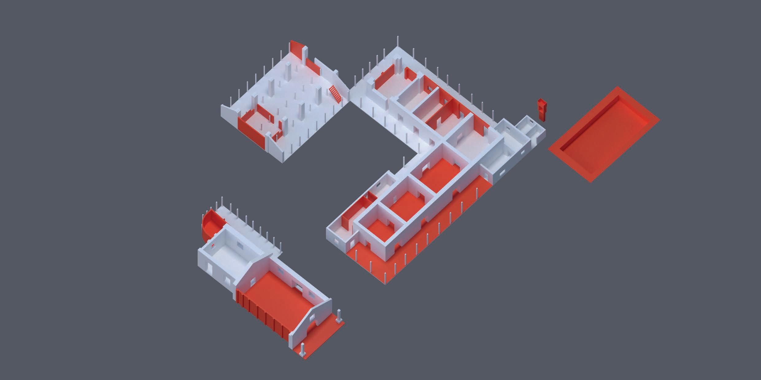
[Figure 36] On the mezzanine, First level of the Warehouse. Photo property of Oscar Ibague Sanchez, personal digital archive, 1987.
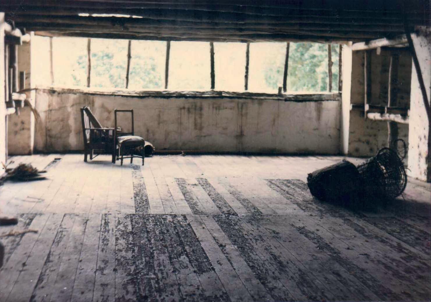
and plaster, and finished with vinyl paint. Regarding its flooring, those present in the main rooms of the east wing and the perimeter corridor would be replaced with brightly coloured cement tile floors. In contrast, the corridor floors over the central courtyard, the north façade and around the kitchen would be maintained in their original condition. Additionally, following a series of strategies that sought to improve the sense of security inside that dwelling, new wooden enclosures with metal mesh fabric were attached to the existing railings and pillars that bordered the perimeter corridors located on the east and west façades of the family house. 44
In the case of the chapel, the stable next to the nave was removed and the wall that separated both areas was rebuilt in fired clay brick masonry and cement mortar and left without plaster, though later finished with white vinyl paint. The wooden carpentries for the windows that existed originally in the demolished adobe masonry wall were maintained. Contemporary, an ancillary space was built attached to the west wall of the presbytery using the same construction techniques and materials as the previous one. The floors of the chapel were also modified during this period: the floor of the front porch was coated with a layer of refined cement mortar while the floor of the nave was covered with 20 x 20 cm cement tiles. The presbytery was the only space that retained its original flooring.
In addition, most probably during the last quarter of this century, the belfry that distinguished the chapel was removed and its entire roofing system almost replaced in its entirety. This intervention, on the one hand, unified the level of the ridge beams of the nave and the presbytery, and on the other, radically altered the interior spatiality by eliminating the ceilings that emphasized it, thus losing the typical inverted trough-shaped ceiling that characterized the Catholic temples contemporary to this one. This alteration still contemplated the stable located next to the north façade of the presbytery, towards the inner courtyard, while including the covering for the new space built on the back of the building. 45
With regard to the warehouse, the main interventions carried out during this period could be organized chronologically, first with the reconstruction of some of the enclosure walls built in bahareque on its shorter façades by new walls in fired clay brick, bonded with cement mortar non-plastered. Then, in order to improve the security of its spaces, new enclosures were placed between the inter-columns of the east and west façades of the building. These consisted of a wooden framework sealed with a tin mesh, which, considering the full height that the wooden pillars comprised, were split into two sections: a fixed bay at the top while the other, hinged allowed access from the courtyard. Later, on the west façade, in order to protect the interior from the recurring raising of the
44 CITCE, Valoración Afectaciones Hacienda Perodías, 10.
45 CITCE, Urbanismo y Arquitectura Perodías, 8.
river water level, the lower part of those enclosures was sealed with zinc tiles and a small concrete wall was built between wooden pillars. 46 Following this, the staircase that connects the first level with the mezzanine of the warehouse was built in sawn timber and planks, and then, some years later, new partition walls were built in fired clay brick masonry and cement mortar on the first level of this building. 47
With this last intervention, carried out in the 1980s, the architectural complex of the Hacienda Perodías fell into a deep lethargy after being gradually abandoned
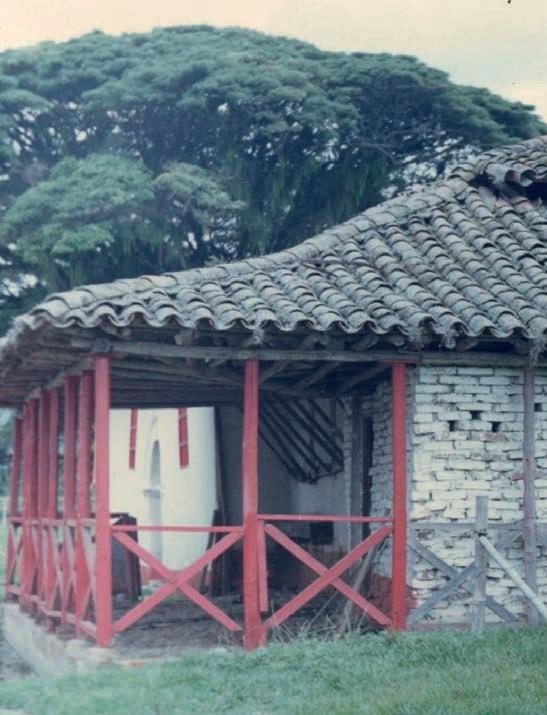
by its owners. The image presented at that time by the volumes of the buildings, and their general composition, was the same as that which, by the end of the XX century, was recognised, along with 16 other haciendas in the region, as National Monuments by the Colombian Ministry of Culture. Furthermore, this was the same image with which this complex received the new millennium and with which, a few years later, it had to face perhaps the most critical moments of its almost 400 years of solitude.
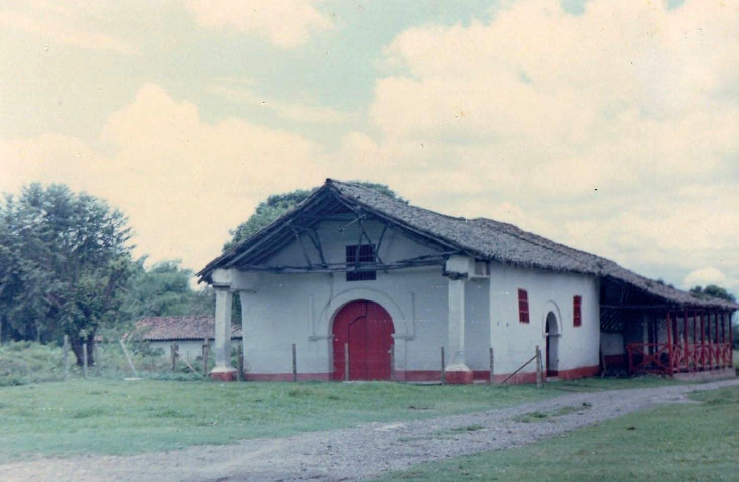
46 Ibid, 13.
47 Ibid, 15.
[Figure 37] The complementary buildings of the hacienda.
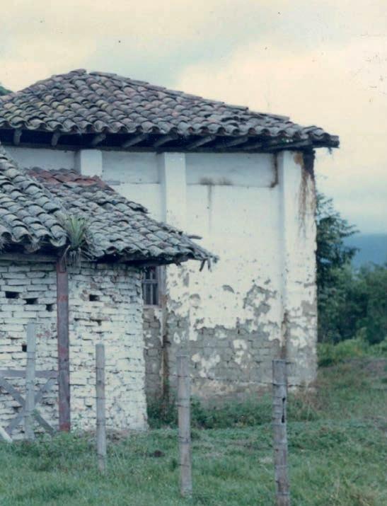
From left to right: the Chapel, captured from the Forecourt, its West façade, as well as the Warehouse, observed from the southwest. Photos property of Oscar Ibague Sanchez, personal digital archive, 1987.
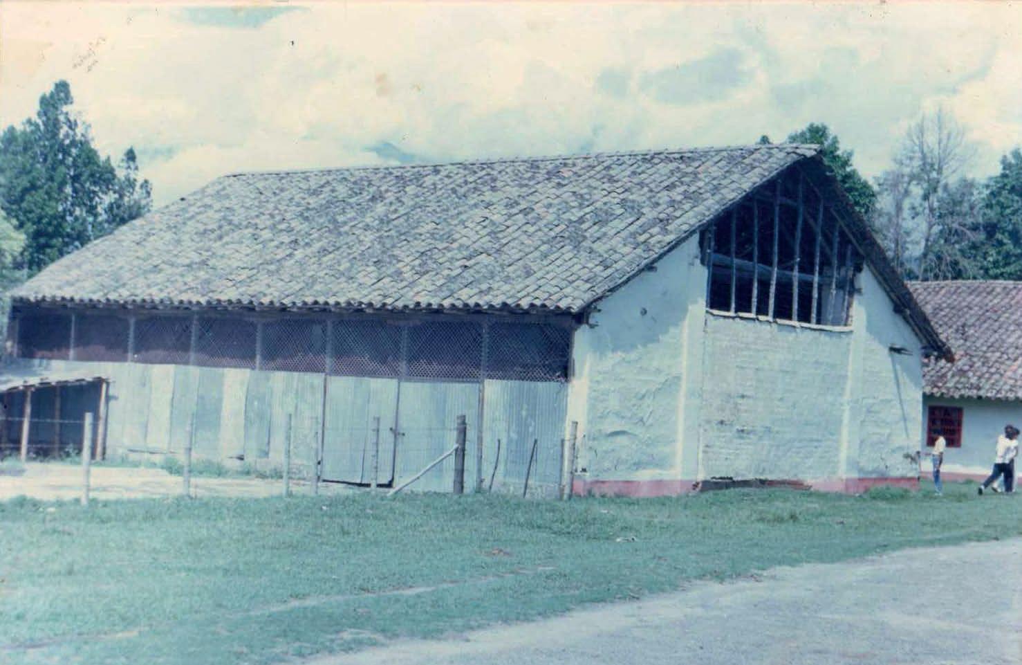
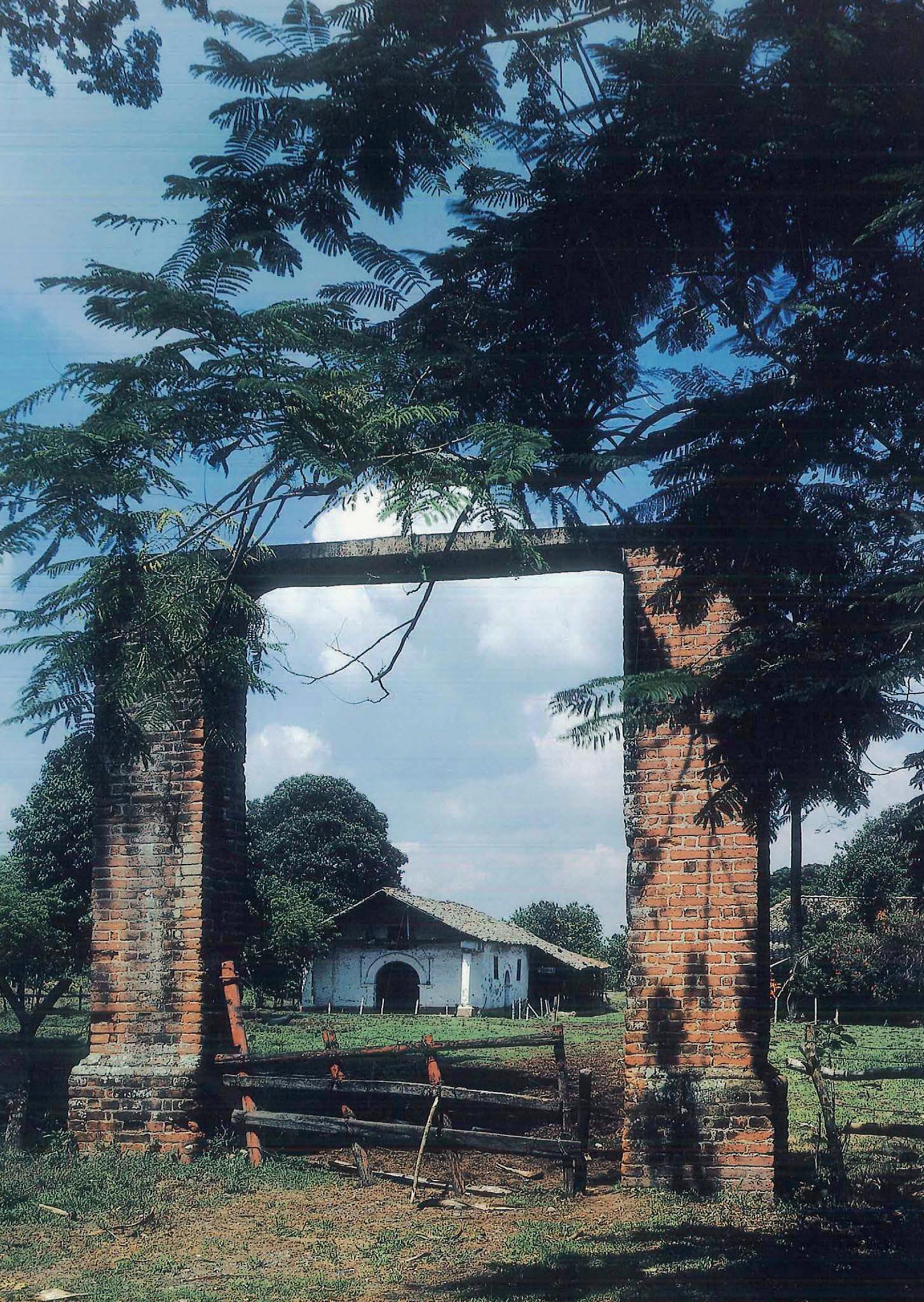
The glimmer of hope brought by the classification of the Hacienda Perodías as a National Monument in 1996 was pretty much dimmed with the change of century. 1 9 years had to pass for breaking the silence and reignite the discussion towards the rehabilitation and preservation of the Hacienda Perodías and other immovable heritage found in Florida and its vicinity, a task led especially by Fundación Patrimonio (Florida’s Heritage Foundation) and other community leaders together with the Culture Secretariat of the departmental government. 2
The negotiation process with the landowners started in 2005 and by 2008 a first economic agreement with the family was reached. After two more years of conversations, in 2010, the RestrepoPlata family and the Municipality of Florida signed a deed of sale for the hacienda, and by December of the same year, the ownership of the building complex was wholly transferred to the town’s public
domain. 3 The agreement stated that María Doris Zamorano de Restrepo, Yolanda Restrepo Zamorano and Florencia Restrepo de Zamorano would exchange almost-10 hectares of land, including three of the four buildings that originally comprised the hacienda: the family house, the chapel and the warehouse, by the amount of COP 823.4 million paid by the Municipality. The remaining building, identified as Casa Amarilla [the Yellow House], a residential building for the hacienda’s labourers, unfortunately, was not included in the negotiations and was left isolated around hectares of industrial farming of sugarcane, land still property of the Restrepo-Plata family. This agreement would mark the beginning of one of the most complicated decades for the hacienda, which by then would have been in a state of abandonment for more than two decades.
Right at the beginning of that period of time, in June 2011, due to an intense
[1] Colombia, Ministry of Culture, List of properties declared as Assets of Cultural Interest at the National Level (Bogotá, 2021), 31-35.
[2] INCIVA, Plan de manejo arqueológico Hacienda Perodías, 40.
[3] Ibid.
rainy season, the overflowing of one of the irrigation ditches near the architectural complex flooded the interior of the chapel for at least 15 days. The accumulated water gradually eroded the lower courses of mud brick, provoking diverse problems in the building: the partial collapse of the wall on the north façade of the nave, undermining the stability of the roof that was leaning on it, and the crumbling of the wall that separated the nave and the presbytery, inducing the unsteadiness of the transverse arch above. 4 Shortly afterwards, the foundation, with the help of some volunteers from the community, would set up some temporary structures that served to sustain the weakened structures while the long-awaited restoration works were undertaken.
In 2012, the mayor at that time, by means of a bailment contract, conferred the management of the Hacienda Perodías to Fundación Patrimonio for the next five years. 5 The project of its complete restoration, elaborated by the foundation itself, was being socialised with the neighbouring and local communities early that year and by July, the project was filed for the corresponding analysis and approval from governing bodies, in this case, the Culture Secretariat of the Governorship of Valle del Cauca and the Ministry of Culture. From there, it was just a matter of time for its accomplishment. Or at least, that was how it was
supposed to happen. With the slow pace in the progress of the assessment cycle and then, in the allocation of resources for its execution, the momentum gained in the previous months gradually slowed down until stop. Though the acceptance from both instances came early in the next year, by June 2013, the organisation was informed that the project’s execution had to wait for the funds allocation one more year. That exhausting wait would not only test the endurance of Fundación Patrimonio’s endeavour significantly along the next years but increase the chance of an imminent collapse of the hacienda while the requested resources arrived. That same year, between August and September, a harsh rainy season again hit the region for several days. Despite the efforts to repair it, the hacienda was not in the best condition to withstand intense or prolonged periods of rain: besides the damages to the chapel, there were leaks and partial collapses in the roofs of the family house and the warehouse, an outcome of previous winters that had not been properly fixed. The stability of some walls was not ideal to withstand the uninterrupted rain that affected the area, and subsequently, there was considerable damage, particularly in the family house. The walls in the north bay that faced the inner courtyard failed, taking down part of the roof and the wood carpentry that framed the immediate corridor with
[4] Álvaro Erazo E., “Perodías 2012.wmv,” 5 April 2012, video registration, 10:23, https:// youtu.be/HS4qmJ6OpsE
[5] Fundación Patrimonio, “Perodías, reseña histórica,” 7:48, https://fb.watch/ d2wYGgnoZV/
[Figure 39] Maintenance works of the external areas around the hacienda’s building complex. Photos property of Fundación Patrimonio, June 2014.
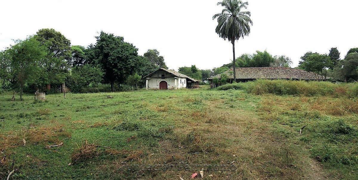
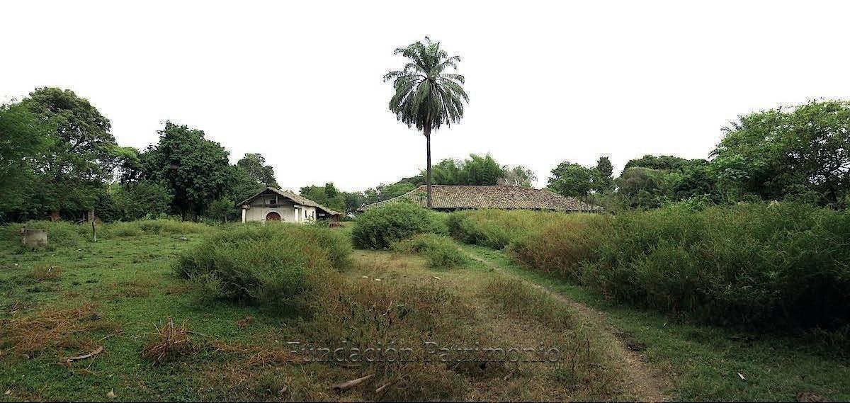
[Figure 40] The state of conservation of the architectural complex of the Hacienda Perodias at the beginning of 2014. The lack of proper maintenance and attention by the public authorities was already reflected harshly in the buildings, which, at this point, had not been properly used for more than a decade.
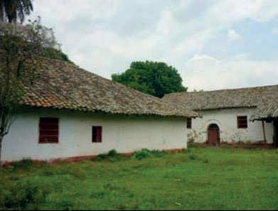
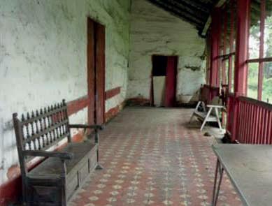
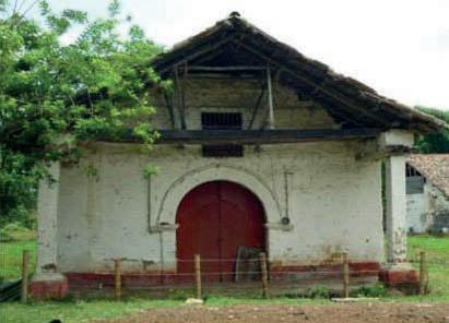
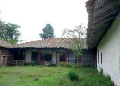
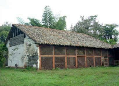
Photos property of Fundación Patrimonio.
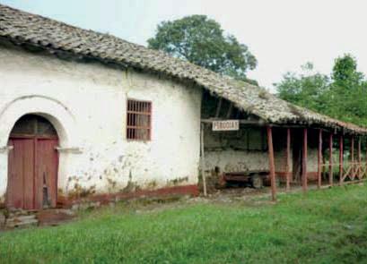
them. With the loss of just over 15% of its construction, the family house would be the most affected building by weatherrelated events up to that point. 6
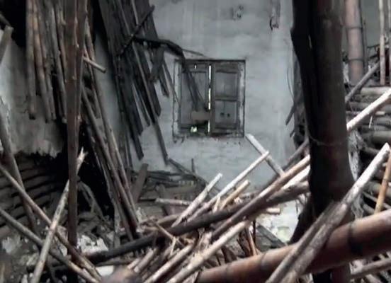
Throughout 2013 and 2014, the foundation, some educational institutions and citizen volunteers in the area, motivated by the unannounced dismantling of one of the old Haciendas part of the local built heritage of Florida, the Casa de Hacienda Jerusalén in early September, 7 were engaged in the
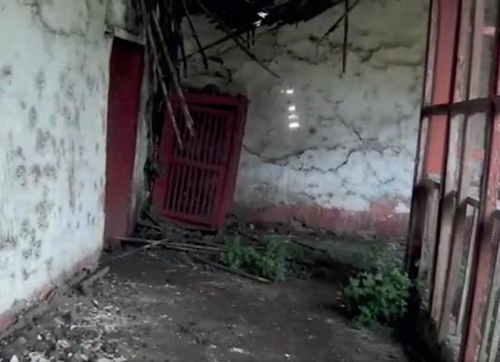
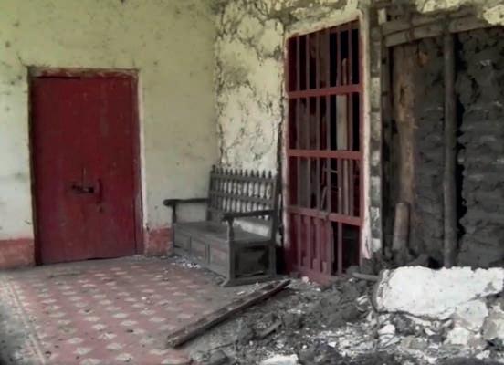
maintenance of the temporary support structures in the affected buildings, terrain ditches, the cleaning of gutters, and trimming of plant species in proximity with the buildings. The last temporary structure that was placed in the Hacienda, a corrugated zinc sheeting over-roof, was executed in the first half of 2014 and it was intended to protect the standing structures of the family house that were next to the collapsed portion a few months earlier. 8 Furthermore, between those two
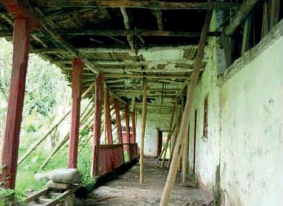
[6] Florida Patrimonial, “Trabajos de Mantenimiento,” photo registry, Facebook, 7 September 2013, https://www.facebook.com/media/set?vanity=fundapatrimonioflorida&set=a.207048096128604
[7] Florida Patrimonial, photo registry of the disappearance of the Hacienda Jerusalén, Facebook, 9 September 2013, https://www.facebook.com/fundapatrimonioflorida/ photos/a.207725669394180/207725672727513/
[8] Letter by Álvaro Erazo, president of Fundación Patrimonio, to the Municipality of Florida, filed 2 December 2013, Facebook, 3 December 2013, https://www.facebook.
[Figure 41] The condition of the interior of the chapel throughout the last two decades: a) prior to the collapse of the dividing wall in 2011, b) the montage of a provisional centering in bamboo for the arch that same year, and c) the same structure after 9 years of abandonment. It is even possible to notice in here the impact treasure hunting had in the walls, an issue that represents a bigger threat for the preservation of this building than climatic conditions themselves.
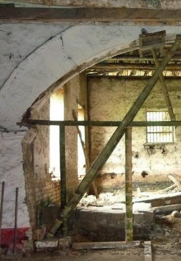
In the same order: photo [a] from CITCE research inventory (not precise date or author was specified), Fundación Patrimonio (2011) and CITCE (2020) respectively.
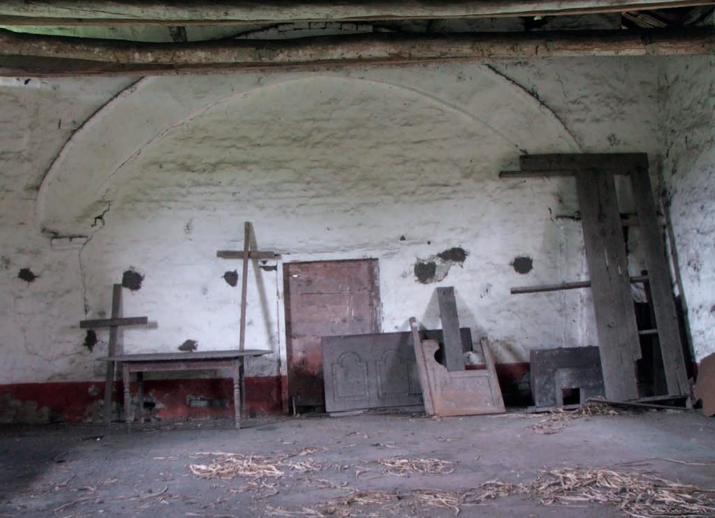
years, the foundation promoted different activities intended to reconnect the people of Florida with the hacienda and its more than 300 years of history. The occasional visits to the site, storytelling during walks and social gatherings in the open field would gradually transform the image of the hacienda as a historical landmark for the town. 9, 10 All these efforts conducted by the foundation in cooperation with other community leaders of Florida and its inhabitants would be determinant for stretching the hacienda’s life expectancy around one more decade. com/fundapatrimonioflorida/photos/a.233182876848459/233407530159327/
In the meanwhile, some operational differences among the foundation’s constituents led half of them, including the president at the time, to leave the organization. This situation affected the foundation’s commitment to the complete restoration of the hacienda, so much so that it would only take two years for activities there to come to a complete halt once again. 11 Moreover, the silence and uncertainty surrounding the future of Perodías were further clouded after the expiration of the bailment contract in mid2017. Although it was then managed by
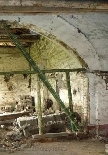
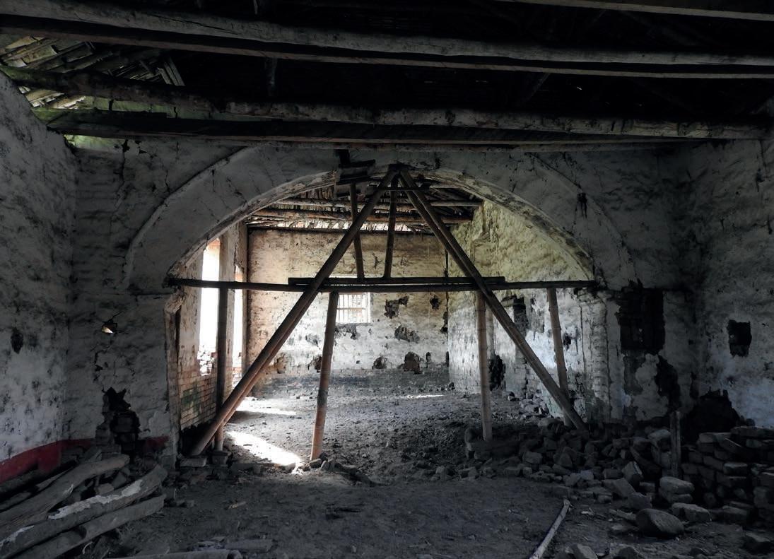
[9] Florida Patrimonial, “Visita de la Institución Educativa Ciudad Florida” photo registry of a school field trip to the Haciendas Perodías and La Industria, Facebook, 25 October 2013, https://www.facebook.com/media/set/?vanity=fundapatrimonioflorida&set=a.221692601330820
[10] Florida Patrimonial, “Visita del Hogar Infantil <<Las Abejitas>>,” video, Facebook, 24 June 2014, https://fb.watch/dVmSOy3Rt9/
[11] Alvaro Erazo, WhatsApp voice message, 24 May 2022.
the municipality, it would take some time for the hacienda to regain the focus of attention that its recovery deserved.
The stony silence of the authorities would be interrupted in 2018 when the Culture and Tourism Secretariat of Florida, willing to collaborate with this common purpose, invested public resources in the execution of the preliminary technical studies required for the subsequent restoration of the hacienda. The commissioned institutions for the realisation of such labours were the Territory Construction and Space Research Centre (CITCE, for its acronym in Spanish) from the Universidad del Valle, in charge of the complete survey of the architectural buildings and diagnosis of their present condition; 12 and the Institute for Research and Protection of the Cultural and Natural Heritage of the Valle del Cauca (INCIVA, for its acronym in Spanish), the mandated governmental institution in the analysis and formulation of the archaeological heritage management plan inside the hacienda. 13 Although the results were completed in the first months of 2019, the official submission of the documents to the local authorities and the corresponding presentation to the concerned population was never fully completed.
Later that year, in November, as a result of increasingly intense and problematic rainy seasons, the family house lost another portion, this time being
the part that was being protected by the metal over-roof that had been mounted five years earlier, leaving this time less than 60% of the building still on foot. 14 Additionally, after the outbreak of the COVID-19 pandemic in Wuhan, China, at the end of 2019, the possibility of managing the necessary actions to protect the remaining structures in the hacienda and thus being able to summon the qualified personnel to carry out that task would become a rather difficult mission to pursue due to the health emergency that only a few months later would have encompassed the entire planet. Therefore, the main priorities for local governments over the next two years would be the containment of the virus while ensuring adequate economic and social stability for their inhabitants above other matters.
Despite being once again in a deep slumber, the Hacienda Perodías was, for the first time, the subject of study by academic instances. By the second half of 2020, while the global health emergency peaked, the research work carried out by undergraduate students from two public universities in the country, the Universidad del Valle and the Pedagogical and Technological University of Colombia. Separately, these studies focused, on the one hand, on the technical-constructive analysis of the materials and techniques used in the construction of the different buildings that make up this architectural
[12] CITCE, Memoria ilustrada de la valoración de las afectaciones del conjunto de edificaciones Hacienda Perodías en Florida, Valle del Cauca (Cali: Universidad del Valle, 2018), 2.
[13] INCIVA, Plan de manejo arqueológico Hacienda Perodías, 61-73.
[14] Alvaro Erazo, WhatsApp video registered on 5 October 2020, 23 March 2022.
complex, 15 and on the other, on the historical development and management of this property over the last few decades, the result of which would be condensed into an audiovisual product. 16
Today, although the state of conservation of this Casa de Hacienda has not changed much in recent years, the risk of its complete collapse is still a latent possibility due to the threat posed by the constant looting and carvings in search of non-existent treasures hidden
in the property. Without proper control and monitoring by public entities, it is only a matter of time before the next flood will erase what little remains of this national heritage. The hacienda Perodías is still waiting for an opportunity to reemerge from the mud and become once again a space connected not only to the development of Florida’s history but the cultural identity of the region that envelopes it.
[15] Valencia and Trujillo, “Análisis técnico-constructivo Hacienda Perodías,” 115.
[16] Moreno and Torres, “Hacienda Perodías,” 4:41, https://youtu.be/khH-w4Lm_Yg
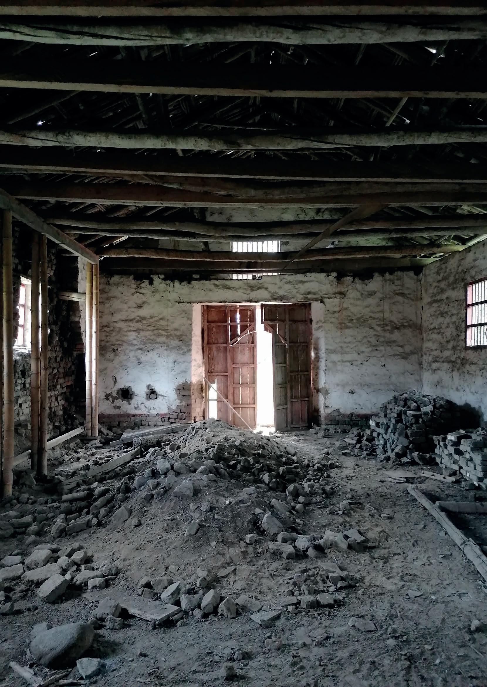
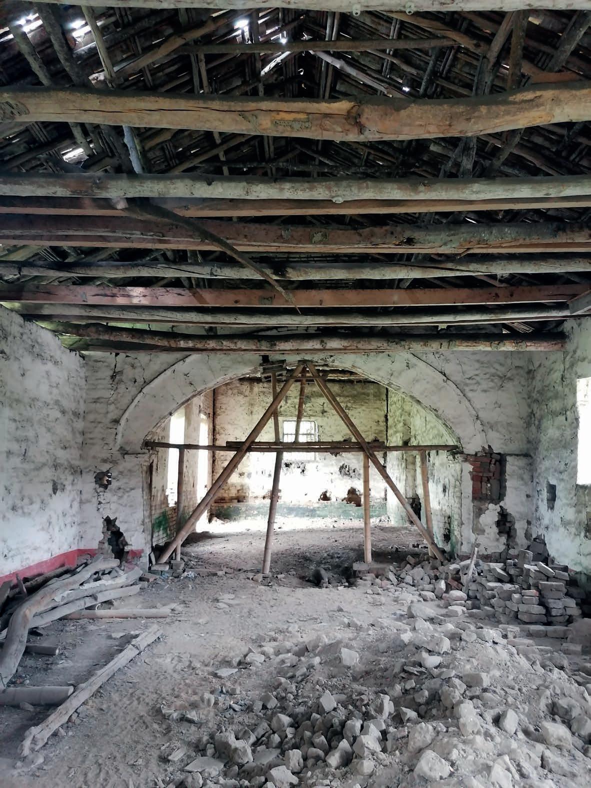 [Figure 42] The Chapel’s nave, positioned towards and below the Transverse arch. Photo by the author, 2022.
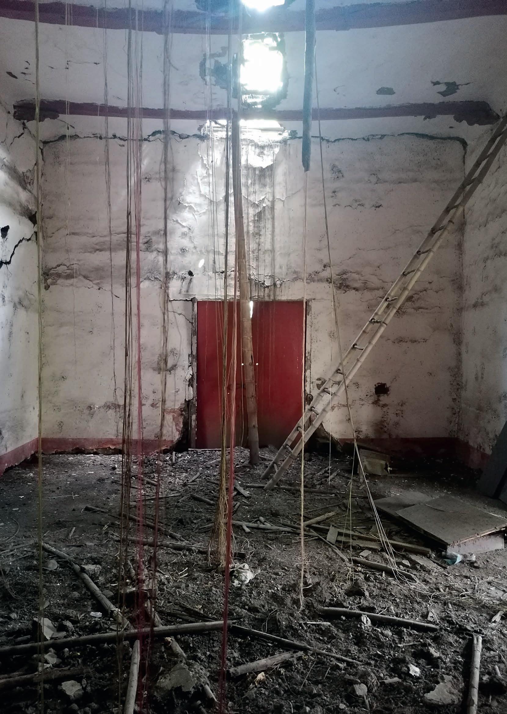
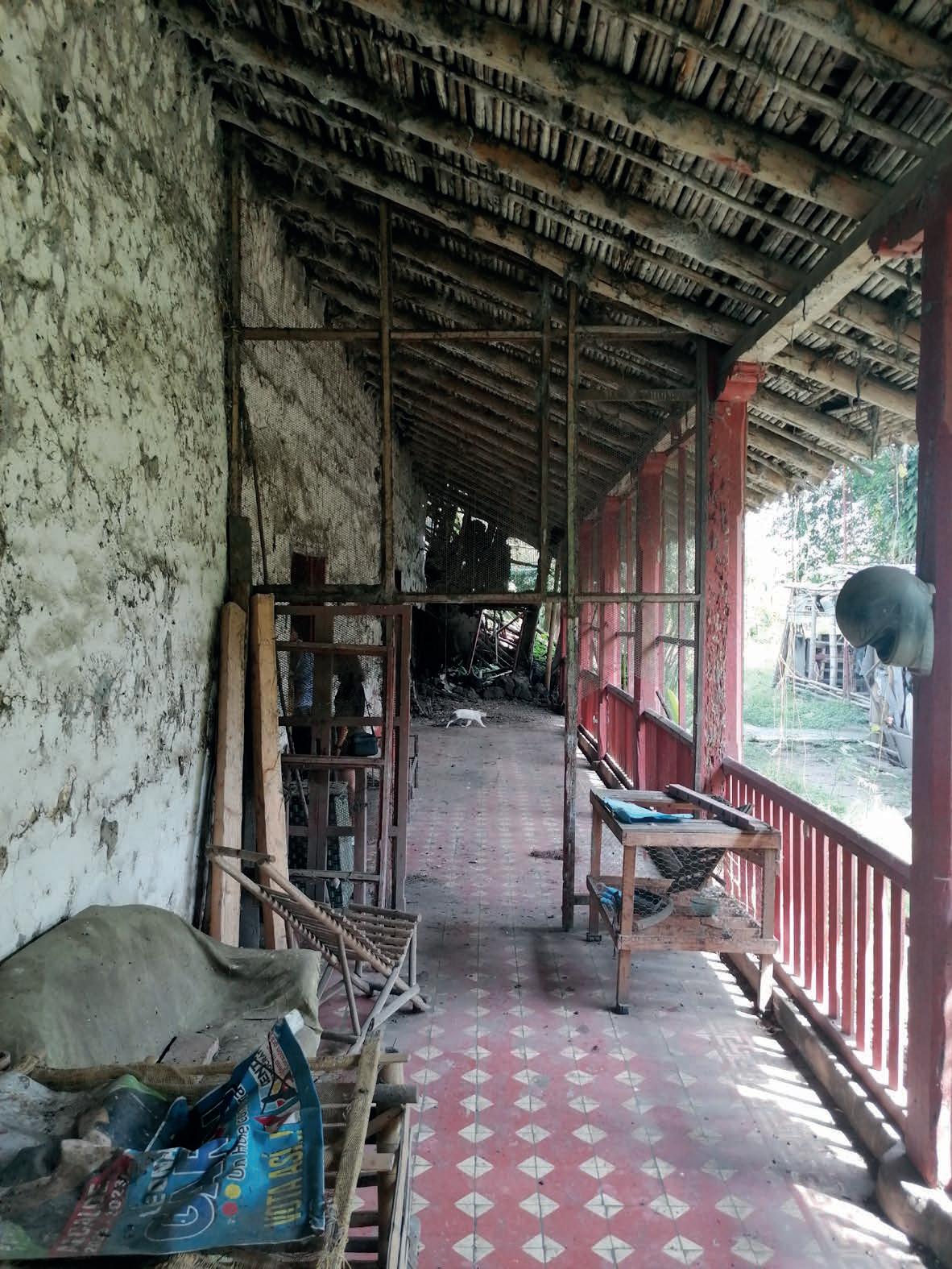 [Figure 43] The main hall and the East Perimeter corridor of the Family House. Photo by the author, 2022.
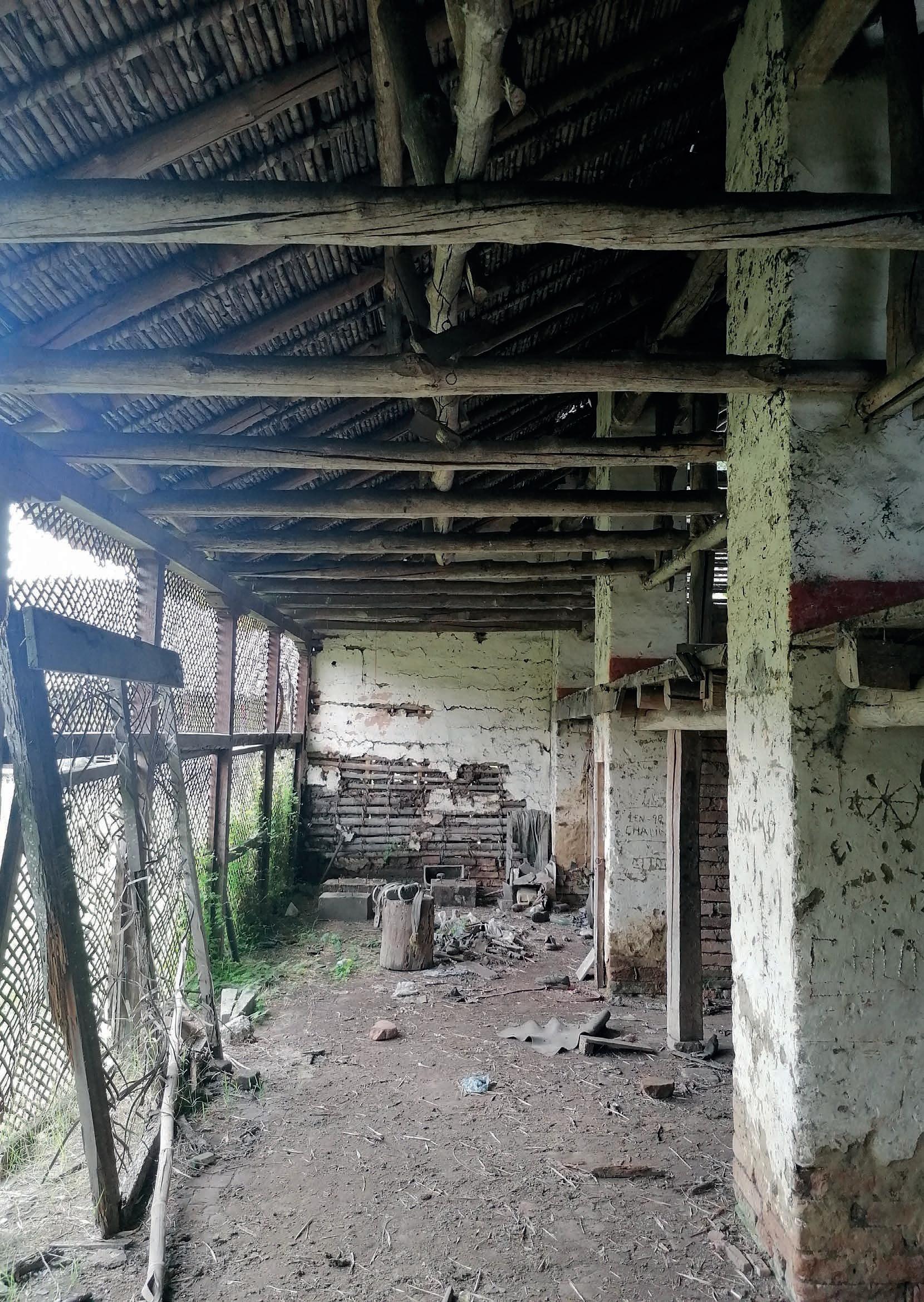
[Figure 44] The working area and the mezzanine, interior of the Warehouse. Photo by the author, 2022.
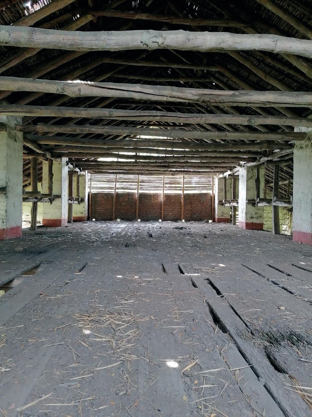
GF 1F
17,10
12,84 16,55 12,06 5,23 15 m 2 5 0
Kitchen Working area
Courtyard
Shed
13,60 14,83 11,54
[D2] Scale EAST ELEVATION 1:200
Legend
Existing structure Wall alteration/decay Reference level (+1.00 m)
Collapsed/Affected structure
[D3] Scale SOUTH ELEVATION 1:200
Legend
Existing structure Wall alteration/decay Reference level (+1.00 m)
Collapsed/Affected structure
[D4] Scale WEST ELEVATION 1:200
Legend
Existing structure Wall alteration/decay Reference level (+1.00 m)
Collapsed/Affected structure
[D5] Scale NORTH ELEVATION 1:200
Legend
Existing structure Wall alteration/decay Reference level (+1.00 m)
Collapsed/Affected structure
[D6] Scale SECTION A-A’ 1:200
Legend
Existing structure Wall alteration/decay Reference level (+1.00 m)
Affected/missing structure
Provisional supporting framework
[D7] Scale SECTION B-B’ 1:200
Legend
Existing structure Wall alteration/decay Reference level (+1.00 m)
Collapsed/Affected structure
0 , 1 0
OFFICE W.C. STORE ROOM Legend Provisional supporting framework
MAIN HALL CORRIDOR 6,74 7,92 2,91 1,05 5,92 Affected/missing component
Ref. level +0,15 Ref. level +0,17 ROOM ROOM 01 [D8] Scale Adobe construction wall Fired Clay construction wall Bahareque construction wall Main access
4,60 9,82 FAMILY HOUSE | GF 1:100
2,70
FAMILY HOUSE
| SF 1:100 [D10] Scale
Fired Clay construction wall
Fired Clay construction wall Solid wood component
Collapsed/Affected structure
Wall alteration/decay Level projection
Ridge +6,93 m
Sill +3,40 m
Ridge +6,93 m
Collar beam +6,05 m
Tie beam +4,85 m
Reference +1,00 m
Ridge +6,93 m
Collar beam +6,05 m
Tie beam +4,85 m
Sill +3,40 m
Reference +1,00 m
12,31 3,09
,62
2,89 13,85 7,96 ,52 26,37
Ref. level +0,12 m NAVE PORCH
9,21 ,80
,80 2,89 ,87 12,27
8,04
11,25
Ref. level ±0,00 m 5 m 1 2 0
Ridge +6,95 m
Sill +4,14 m
Porch +0.12 m
[D13] Scale CHAPEL | NE 1:100
Legend
Adobe construction wall Fired Clay construction wall
1 2 0
Ridge +6.92 m
Reference +1.00 m 5 m
CHAPEL | SC A-A’ 1:100 [D13] Scale
Collar beam +5,90 m
Tie beam +4,10 m Springing +2,20 m
Keystone +4,00 m Reference +1,00 m
Ridge +6,92 m Shed +0,18 m
[D14] Scale
Legend
CHAPEL | WE 1:100
Adobe construction wall
Fired Clay construction wall
Fired Clay construction wall Solid wood component
Collapsed/Affected structure
Wall alteration/decay Level projection
Ridge +6,95 m Top Wall +4,97 m Sill +2,72 m Reference +1,00 m
NORTH
Ref. -0.18
,15 ,15
17,10
,70
2,00
2,04
2,04
2,04
2,04
2,04
1,98
,20 ,18
,60 2,98 16,62
3,26
,80
3,70 1,66 ,70 Ref. +0,08
3,28
,80
3,28
,67
,95 2,48
,41 2,09
,93 1,80 15,93 Ref. level
13,36 2,04
WORKING AREA NORTH AREA WAREHOUSE | GF 1:100 [D16] Scale
1,22
,82
5,09 3,15 ,70 Fired Clay construction wall
2,04
,85 Solid wood component
-0.18 Ref. level +0,08 Legend Affected/missing component
2,04
2,04
2,29 16,28 ,27 STORAGE
Ref. level +0,08 Adobe Bahareque construction wall Main access
1,62 ,29
Ridge +7,30 m Capital +3,05 m Door +1,98 m Reference +1,00 m
North area -0,18 m

The different collapses suffered by the Family House and the Chapel during the last two decades, events that were described previously, are in fact the final consequence of a series of pathologies that have been slowly developing in what remains of the existing buildings of the Hacienda Perodias architectural complex, especially since the moment of its abandonment. The combination of specific atmospheric conditions with the lack of proper maintenance of their structures, in addition to exposure to biological agents and vandalism, has triggered the deterioration of the materials that constitutes these buildings in different ways. 1
As these structures are mainly built using construction techniques based on earth and vegetal fibres, guaranteeing the watertightness of the spaces they house is also the way to ensure optimum performance of these materials which, as is well known, are highly sensitive to the
presence of water in the form of humidity over long periods of time. The growth of vegetation in areas adjacent to the buildings, favoured especially during the last years of abandonment, and the deposit of sediments and organic material in the ditches and boulder floors that border the buildings during floods of the irrigation ditches in the proximity, have significantly affected how rainwater is diverted in the complex, so that moisture has become the main agent involved in most of the decay processes that have occurred so far. 2
According to the verification and assessment document of the affectations present in the Hacienda Perodías, published in 2018 by CITCE from the inspection of the condition of the property at that time, it is possible to identify at least four types of moisture according to its process of appearance. 3
Firstly, due to the unevenness of the
[1] INCIVA, Plan de manejo arqueológico Hacienda Perodías, 39.
[2] CITCE, Valoración Afectaciones Perodías, 23.
[3] Ibid.
Previous page, [Figure 45] Interior of the presbytery, looking to the west. Photo by the author, 2022.
terrain and the presence of ditches, there is often an accumulation of rainwater, also known as waterlogging, near the Chapel on its south façade and around the shed located on the north side, towards the courtyard. There are also other water deposits along the east façade of the Warehouse. Likewise, there is rising damp present in the bases of the thicker walls in bahareque in the East wing of the Family House, and along the base of fired brick walls that compose the south façade of the Chapel and on portions of the cement tile flooring inside the nave. Moreover, due to the breakage and loss of elements in the ridge tiles of the Family House, a situation that directly affects the watertightness of the roof, moisture through infiltration has been accumulating in the ceilings above
the main hall, putting at risk their cohesion and the integrity of floorings and bases of walls. Last but not least, dampness caused by rainwater splashing is evident on the adobe walls of the north façade of the Chapel’s nave, 4 the same wall that partially collapsed a few years earlier due to moisture from runoff generated during the flooding of the irrigation ditch next to that building, which created a deposit of water inside the nave for several days. The presence of humidity has not only become the cause of the weakening of these structural elements based on the use of earth, but it is also due to this that the proliferation of biotic agents that invaded some elements in wooden carpentries and roof structures, as well as the terracotta tiles that characterise them, have been
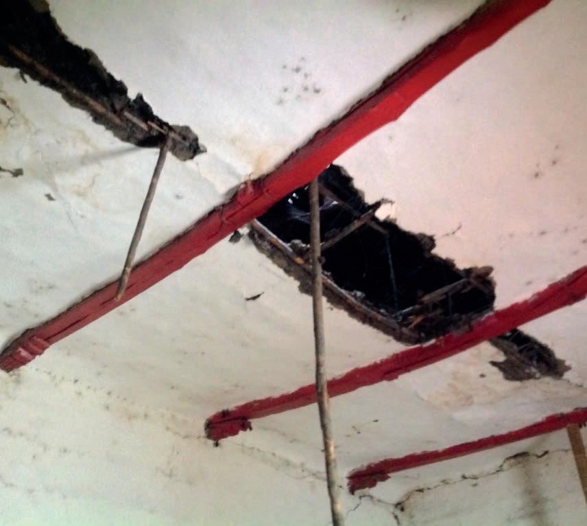
[4] CITCE, Valoración Afectaciones Perodías, 24.
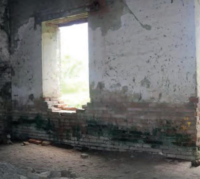
enhanced. As long as their presence remains a constant around and inside the hacienda buildings, it will not be possible to interrupt the deterioration processes concerning these materials. 5
Although the weather conditions at the site have become major adversity to the safeguarding of the architectural complex, the most worrying threat is posed by the continued vandalism and destruction by private individuals in their search for hidden treasures on the property, as well as the occasional looting of materials that have loosened or detached from the structures. 6 These anthropic activities have especially affected the chapel, whose interior walls have been repeatedly perforated, weakening the cohesion of the nearby adobe pieces and thus the integrity of the walls. The same can be seen in the adobe abutments located in the kitchen area, whose surfaces have been carved following the same intentions. Despite the efforts of those concerned with the protection of the complex to repair and seal up these damages, in the absence of adequate monitoring and surveillance, they are soon reopened without warning. The problem posed by this threat is,
if not properly addressed soon, the bearing capacity of these walls will be rapidly compromised, causing its collapse while taking the roofs down with them. This is a scenario that particularly involves the chapel, whose roof is already destabilised due to the partial collapse of walls, and at the same time, this alteration in the balance of the structure has compromised both the transverse arch and the south column in the entrance porch, which already shows signs of a future collapse.
The exposure of the different materials that constitute the standing structures in the architectural complex to certain conditions (climate, destructive anthropic activities, invasion of biological agents, and other more specific), has provoked the development of various types of deterioration that can be observed with the naked eye.
In order to be able to identify, characterise and graphically represent the pathologies currently present in the buildings (see drawings E1-E3), the “Archaeological management plan proposal” and the “Assessment report on the affectations of the Hacienda Perodias,” published by INCIVA and CITCE separately
[5] CITCE, Fichas de Levantamiento y Calificación Tipologías de las Carpinterías: Puertas, ventanas, barandas, piederechos, monteras. Hacienda Perodías, municipio de Florida (Cali: Universidad del Valle, 2018).
[6] INCIVA, Plan de manejo arqueológico Hacienda Perodías, 39.
in 2018, 7, 8 have been used as references for this commitment, alongside the “Illustrated Glossary of Stone Deterioration Patterns,” published in 2009 by ICOMOS-ISCS, and the Italian standard UNI 11182 “Beni culturali. Materiali lapidei naturali ed artificiali. Descrizione della forma di alterazioneTermini e definizioni’’ of 2006, documents that provided further refinement to the definition and characterisation of each deterioration pattern recognizable in the structures to date. 9, 10
By correlating the documents mentioned above with the photographic record of the on-site visit to the hacienda carried out in January 2022, it is possible to determine the most crucial types of deterioration that concern each construction system in the hacienda. The following information can be complemented with Table 2 - Macroscopic pathologies of the Hacienda Perodias (pg XX), in which it is possible to find the description, location and respective visual reference of the pathologies to be mentioned below. These have been also coordinated with the mapping system by colours and textures illustrated in drawings B1-B4 (pg ??-??).
[7] Ibid, 42-60.
With regard to the roof system of the buildings of the hacienda, it is possible to identify various types of alterations and deterioration, which affect not only the fired clay roof tiles but the wooden structures and ceilings. Of all these, the type of deterioration that most affects the exterior surface of the roofs is biological colonisation. 11 It is principally distributed on the roof tiles, surfaces whose morphological characteristics favour the accumulation of humidity, organic material and dust in their interstices, a condition that has turned them into an ideal environment for the proliferation of microorganisms, lichens, mosses, ferns and other minor plant species. This biological patina covers the roofs of the three buildings almost uniformly. 12
In addition, due to missing roof tiles in some of the eaves, edges and ridges on the roofs of the three buildings and the absence of components in enclosures on the ground floor, the interior spaces have been colonised by one species of mammals (bats) and two different insect species (potter wasps and termites)
[8] CITCE, Valoración Afectaciones Perodías, 16-25.
[9] ICOMOS-ISCS, Illustrated Glossary on Stone Deterioration Patterns (Champigny/Marne: Ateliers 30 Impression, 2008).
[10] Italy, Ente Nazionale Italiano di Unificazione, Norma UNI 11128, Beni Culturali. Materiali Lapidei naturali ed artificiali. Descrizione della forma di alterazione - Termini e definizioni (Milan: 2006).
[11] ICOMOS, Glossary on Stone Deteriorations, 64.
[12] UNI 11128:2006, Materiali lapidei alterazione, 26.
inside. Although the former do not directly represent a threat to the preservation of the materials, they can pose different types of health risks to those who enter the structures, due to the location of their colonies and the waste that has accumulated on floors and areas adjacent to walls. On the other hand, the presence of xylophagous insects in the solid wood beams that make up the roof structures in the three buildings represents a considerable threat to the stability of these, since, “[...] depending on the time and extent of the attack, the resistance of the wooden parts begins to be affected, with the most serious damage of course to those parts that perform important fastening or load-bearing functions.” 13
Furthermore, components of the roof structure of the three buildings have been colonised by wet rotting fungi due to water coming from leaks in the roof, provoking staining of their surfaces and rotting of sections in some components. This same source of moisture has deposited water on the ceilings, especially on those above the main hall. These have been constructed with a reed laying coated with a mixture of mud and vegetal
fibres, materials that are prone to decay in the presence of humidity. These deposits have caused their gradual deterioration and subsequent detachment. 14
About the present condition of the walls and wooden pillars, there are different pathologies caused mainly by the presence of rising dampness, leaks and rainwater splashing, as well as by the colonisation of animal and fungal species. This biological colonisation again involves the appearance of potter wasp colonies in areas close to the roofs or false ceilings and in some cases, towards the door lintels. Also, the solid wood columns and vegetal fibre exposed in some of the older wattle and daub walls have been invaded by xylophagous insects and some species of fungi and moulds. Their presence represents a direct threat to the preservation of the structures, as they affect the internal structure of wood, making it susceptible to fracture. 15 This situation is also repeated in a large part of the wooden pillars that frame the façades
[13] CITCE, Valoración Afectaciones Perodías, 49-66.
[14] Ibid, 24.
[15] Ibid, 41.
of the perimeter corridors, which also exhibit discolouration of the surfaces that have been exposed to solar radiation and the action of rainwater.
The impact of the presence of dampness has resulted in the weakening of the structural behaviour of timber components and the cohesion of their finishings. The advanced state of the detachment of the mud, calicanto and cement plasters has not only left the adobe and brick walls and the earthen fillings unprotected from weathering but has also triggered their erosion and subsequent disintegration of their components. For example, the wattle and daub walls of the Family House have been slightly reducing their load-bearing capacity due to rising dampness at their base. The wooden structural components, affected by the humidity, when they are subjected to the weight of the roof, cause the clay and vegetal fibre mix plasters to deform. Over time, this swelling eventually causes the peeling and posterior detachment of claddings. 16 The same alterations are visible in the mud and vegetal fibre mix plasters of the adobe walls in the Chapel and the wattle and mud headwalls in the Warehouse, as well as in the calicanto plasters that cover the fired clay bricks abutment in the interior of that same building. 17 Splashing damp in turn has affected the wall of the north façade of the Chapel nave, a surface on which it is
possible to observe a network of small cracks, referred to as craquele, 18 that have been generated in the mud plaster that still exists on the adobe walls that make up this façade.
As a possible consequence of the process of detachment of the wall claddings, there is evidence of disintegration of fired clay bricks at the base of the south façade wall of the nave, due to the presence of minor plant species growing on them. The same phenomenon occurs on the handmade fired bricks that integrate the headwalls and their respective calicanto plasters, in the Warehouse, this time due to their exposition to weathering. 19 Likewise, due to the prolonged exposure to weather conditions (wind and rain) that some of these fired clay brick walls have undergone, it is possible to detect processes of mechanical erosion and erosion by abrasion on the exposed surfaces. It is also feasible to find areas with evidence of erosion by wear and tear in the adobe walls of the chapel and in the abutments of the kitchen area in the Family House, a process that is due to the action of animals, in this case, the “licking” of the cows that tend to invade the land near the buildings. In addition, there are missing elements around the door and window hollows of the handmade fired clay bricks wall located in the south façade of the presbytery and pretty much all the adobe walls present missing components due to
[16] UNI 11128:2006, Materiali lapidei alterazione, 31.
[17] CITCE, Valoración Afectaciones Perodías, 20.
[18] ICOMOS, Glossary on Stone Deteriorations, 10.
[19] CITCE, Valoración Afectaciones Perodías, 21.
[Figure 47] Missing earth filling and disintegration of plasters of bahareque walls (left), and missing elements of the paver flooring outside the warehouse (right).
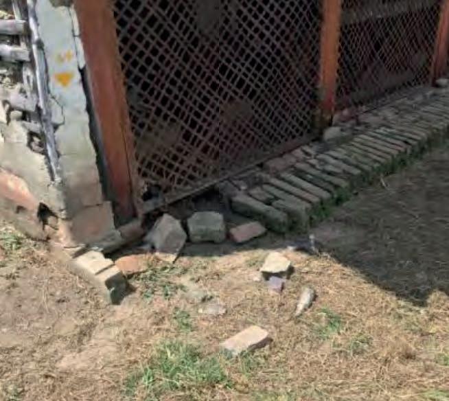
Photos by CITCE, 2018.
the carvings executed in the interior of the Chapel. Elements are also missing from the baked clay brick walls of the north and south façades of the Warehouse, while the accompanying wattle and daub walls, due to their advanced erosion process, have partially lost their earthen infill.
Some of these walls, due to the destabilisation of roof components and their bases, possibly a consequence of the successive collapses of some parts, show mechanical pathologies, such as the slump of walls close to the collapsed areas in the Family House, as well as the adobe wall on the north façade of the Chapel nave. In the area of the porch, one of the handmade fired brick pillars shows displacement of its upper part towards the interior. 20 It is
also possible to find inclined cracks in the wattle and daub walls located on the east façade of the Family House and vertical cracks in the adobe walls of the chapel that coincide with the main arch to the interior. 21
From the analysis of the report of the Survey and assessment of the wooden carpentry of the Hacienda Perodias, also carried out also by CITCE in 2018, it is possible to determine that pretty much all the existing woodwork (doors, windows, frames, railings and lintels) has been invaded by xylophagous insects, by the same type of termite that has
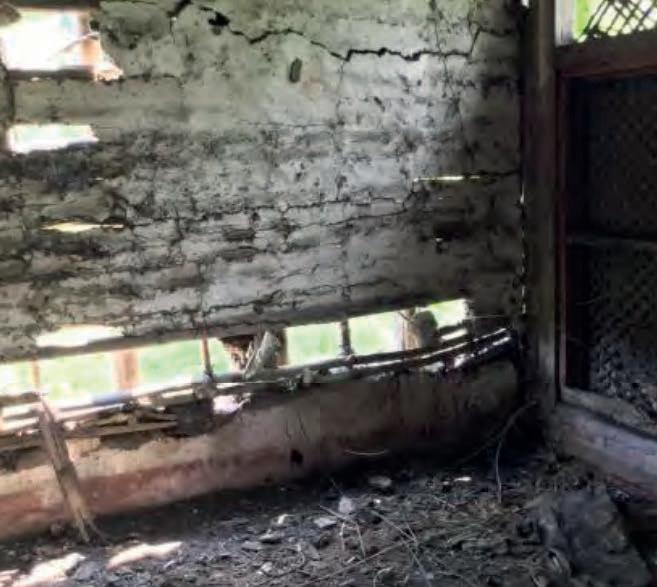
[20] INCIVA, Plan de manejo arqueológico Hacienda Perodías, 41.
[21] CITCE, Valoración Afectaciones Perodías, 25.
affected the wooden structures in the roofing system. Furthermore, of these, the elements that have undergone weathering present both the biological colonisation of some species of wet rotting fungi and patterns of chromatic alteration in the faces that have been exposed to solar radiation and moisture. 22, 23 Additionally, there are missing elements (partially and completely) in the carpentry of the three buildings: both the door and window of the handmade fired brick wall on the south façade of the presbytery and parts of the door leaves and components in the windows on the north façade of the nave (Chapel), a door leaf and components in the railings placed on the perimeter corridors (Family house), as well as the complete absence of the lower panel of the wooden enclosures on the west façade (Warehouse).
With regard to the tin strip lattices that are fixed to the wooden frames enclosing the east and west façades of the Warehouse, while the lower module of the lattices in the west façade is completely missing, the rest present corrosion due to their permanent exposure to weathering. 24
Family House rooms and those placed on the south and east corridors. The rest of the cement tile floors located on the west enclosures have missing pieces, as do the boulder floors laid around the east wing and the corridor towards the kitchen garden. There are also missing pieces on the floor edge in fired clay brick placed in the same area. Additionally, the fired clay pavers that partially cover the west corridor, the boulder floors and the ditches in fired brick masonry present signs of erosion. 25
On the other hand, the floors of the nave of the chapel show missing pieces due mostly to the anthropic activities that were carried out inside this building, such as the installation of temporary structures in guadua and the execution of unauthorised excavations that were destructive to the floors. The fired clay paver floor located in the presbytery presents erosion on its entire surface, while the cement mortar floor built over the access porch presents some cracks and fissures distributed over the entire surface, as well as the absence of elements on the floor edge built in handmade fired brick.
The only floors in acceptable condition are the cement tile floors in the
As for the Warehouse floors, there is a large proportion of cracked and fractured elements on the fired clay tile floor placed on the ground floor. There are also missing elements of the timber-bearing structure that supports the mezzanine decking and
[22] ICOMOS, Glossary on Stone Deteriorations, 8.
[23] Ibid, 46.
[24] CITCE, Valoración Afectaciones Perodías, 24.
[25] Ibid, 21.
on that decking itself. 26 The sawn timber planks that constitute the mezzanine deck and the stair installed for connecting both levels have also been invaded by xylophagous insects and fungal species that have caused some of the elements to rot, thus compromising the load-bearing capacity of both structures. 27
The current condition of the pool’s walls and surfaces is quite critical. Both its retaining walls and the concrete edge and bottom floor slabs show signs of erosion as well as cracks and fissures distributed over a large portion of the surfaces. There is also partial subsidence found in the edge slabs. Likewise, plant species have colonised its perimeter. With regard to the water tank, built mainly in fired clay brick masonry, it shows processes of chromatic alteration and disintegration in its lower part, while the rest of the structure is eroded due to the effects of weathering. For the same reason, the storage tank located at the top, made of sheet metal and reinforced with iron angles, is completely corroded. 28, 29
In order to study the deterioration described in more depth, it was decided to analyse one façade for each building in the architectural complex, in this case, the east façades of the Family House and the Chapel and the south façade of the Warehouse, considering that these façades contain a wide variety of different elements to be analysed as well as being representative façades of the volumes. This analysis of the façades was divided into two parts: a first section dedicated to the description and identification of the types of deterioration present in the selected façades, their causes and possible interventions; and a second part dedicated to the presentation of the respective technical drawings, where the related deterioration is represented according to the type of colour and pattern that was assigned to them in the first part, and related to its location in the construction and the possible intervention to be carried out.
Thus, for the characterisation of each type of deterioration found, the following model has been organised:
[26] Ibid, 18.
[27] Alvaro Erazo, video registration on 5 October 2020, Whatsapp conversation with the author, 23 March 2022, 2:35.
[28] CITCE, Valoración Afectaciones Perodías, 23.
[29] NSW Heritage Office, The maintenance series. Information Sheet 3.1: Metalwork (Sidney: Heritage Council of NSW, 1998, 2004)
Colonization of the material by plants and microorganisms such as bacteria, cyanobacteria, algae, fungi and lichen. The presence of these organisms does not necessarily imply deterioration such that the preservation of the material is at risk
On the roof tiles of the three buildings
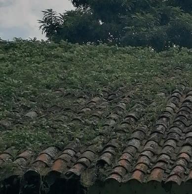
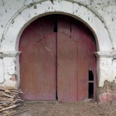
Deposits of organic matter and dust which, together with the presence of moisture and rainwater; lack of maintenance
Affection of wooden components by termite nesting (Cryptotermes brevis species) inside. Depending on the time and extent of the attack, the strength of the wooden parts can be severely affected
Wooden components of roofing systems and bahareque walls, together with wood carpentry
The entry of individuals from infested furniture or the presence of larvae already in the wooden components prior used in the construction
Variations in the parameters that define its colour due to material components. It generally involves the whole material.
Wood carpentry facing the exterior areas, such as windows, pillars, railings and access doors
Exposition of wood surfaces to weathering; lack of maintenance
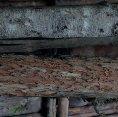
Empty space, obviously located in the place of some formerly existing component or piece
Brick components of adobe and clay masonry walls, earth fillings of bahareque walls; fired clay floor tiles, cement floor tiles, pavers; wooden pillars and components in windows and railings; roof tiles
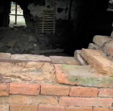
Loss of cohesion of the binder; presence of cracks or structural lesions; anthropic activities; lack of maintenance
Localised surface lifting of material of varying shape and consistency variables
Mud plasters of both sides of bahareque walls in the family house
Additional structural stresses at the base of bahareque walls due to rising dampness; the direct action of rainfall through splashing on walls
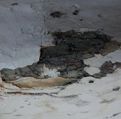
Shedding, coming off, or partial detachment of a superficial layer (submillimeter to millimeter thickness) of coatings that have been applied on stone surfaces. It is a first sign of the subsequent complete detachment of the affected area
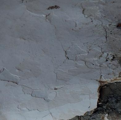
Mud plasters applied on bahareque , adobe and fired clay masonry walls
Additional structural stresses at the base of bahareque walls due to rising dampness; exposition of surfaces to weathering
Description Location Intervention Causes Detachment
Mud plasters of bahareque walls; mud plasters and lime paintings in adobe and fired clay masonry walls; mud and vegetal fibres mix in ceilings
The presence of infiltration dampness through roofs; additional structural stresses at the base of bahareque walls due to rising dampness; the direct action of rainfall through splashing on walls
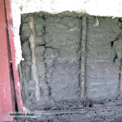
Description
Intervention Causes Disintegration
Fired clay masonry walls in the chapel; calicanto plasters and fired clay masonry plinths of the warehouse; floor edges in fired clay masonry, on the perimeter of the house
Loss of original surface, leading to smoothed shapes.
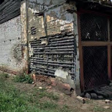
Brick components of adobe and clay masonry walls, earth fillings of bahareque walls; fired clay floor tiles, cement floor tiles, pavers; wooden pillars and components in windows and railings; roof tiles
Exposition of surfaces to weathering
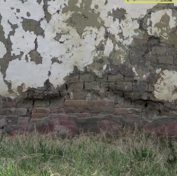
Degradation manifested by discontinuity of the material, resulting from separation of one part from another. It is caused by thermal changes, telluric movements, and incompatibility of materials.
Mud and calicanto plasters found in both adobe and bahareque walls either in the chapel, the house or the warehouse
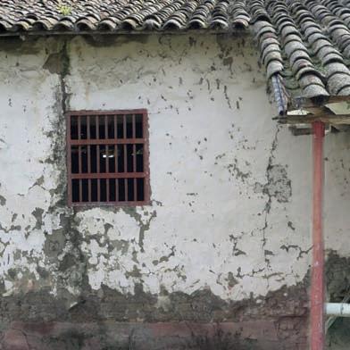
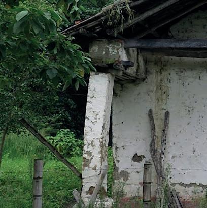
Slight displacement and loss of verticality of building components
Handmade fired clay masonry columns and the upper part of walls on the north façade of the chapel; roof eaves in the chapel and the family house
Mechanical stress of structural elements exceeding those foreseen during construction; displacement of building components due to foundation settlement or ground movements, as well as loss of stability due to unforeseen events/partial collapses
[Figure 48] All photos are property of CITCE (2018), with the exception of the one corresponding to “biological colonisation (plants),” which was taken by the author (2022).
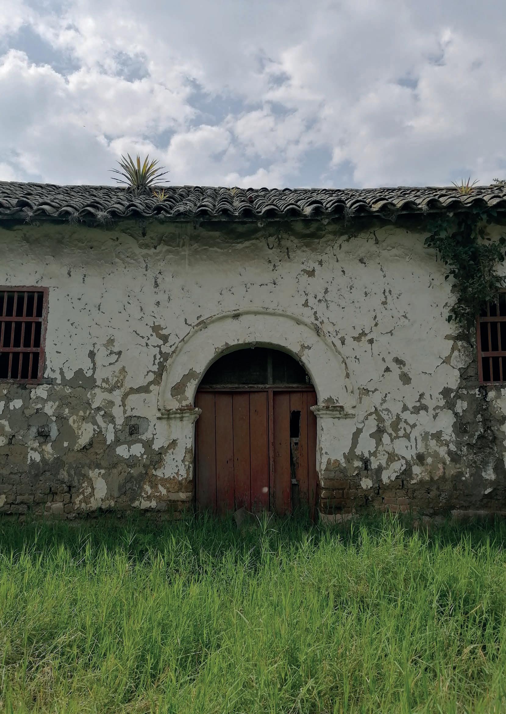
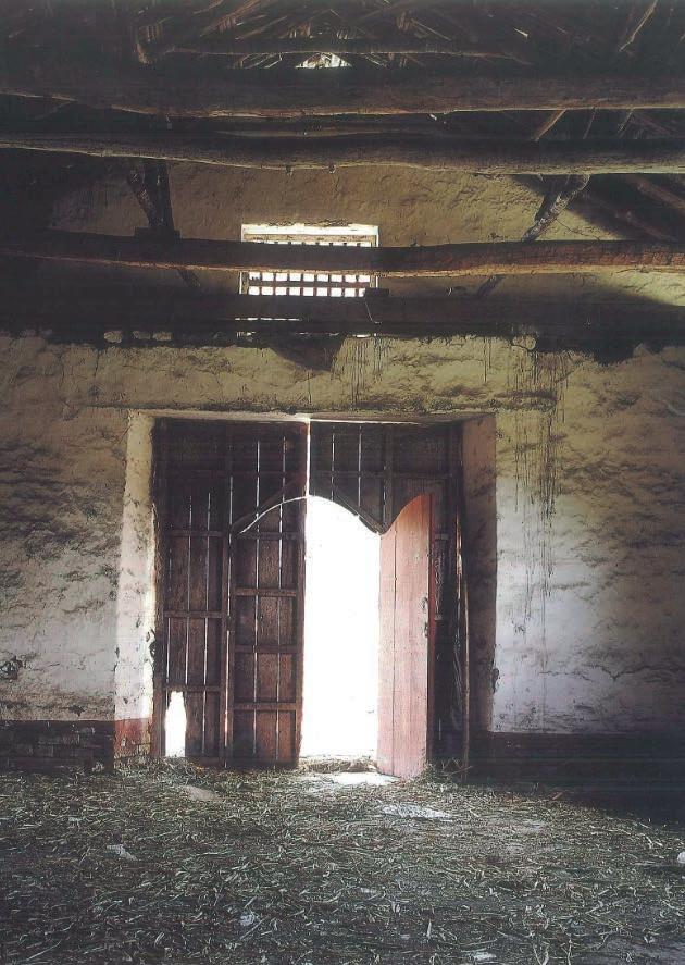
So far, the journey through this hacienda has led us to understand how what is still visible today represents in itself both a human material expression linked to a place and its respective technological progression in time, as well as symbolic values that also mutated along with the society that surrounded it.
It is still possible to perceive the tectonics of the building, partly because it was not considerably intervened, at least until the second half of the XX century. 1 With a fairly well-defined volumetric composition and materiality, like many of the other haciendas in the region, the Casa de Hacienda Perodías is in itself a sample of construction techniques resulting from adapting an exogenous tradition to climatic conditions and the availability of certain local materials. A tradition that was
also appropriated and adjusted over time, mainly due to productive determinants. Likewise, this hacienda is material evidence of certain processes that were legitimised through its vocation as a unit of cattle and sugar cane production during at least the first two centuries of its history. In it, processes such as the evangelisation of native indigenous tribes, and the moral and spiritual indoctrination of slaves brought from the western coastal regions of the African continent, were materialised since its construction in the middle of the XVII century. 2 It is possible to imagine that for the communities historically involved in these processes, the spaces of the Hacienda Perodias embody in their memory the image of being places of exploitation and cancellation of cultural expressions, especially of their spirituality,
[1] Benjamín Barney and Francisco Ramirez, La Arquitectura de las casas de hacienda en el Valle del Alto Cauca (Bogotá: El Áncora Editores, 1994), 71.
[2] Instituto para la Investigación y la Preservación del Patrimonio Cultural y Natural del Valle del Cauca (INCIVA), Zonificacion preliminar y diseño de plan de manejo arqueológico, Hacienda Perodías, Municipio de Florida, Valle del Cauca (Cali: INCIVA, 2018), 25-26.
Page 186 [Figure 49] The north façade of the Indoctrination Chapel. Photo by the author, 2022. Previous page, [Figure 50] The nave of the indoctrination chapel of the Hacienda Perodías, looking towards its entrance. Photo by Sylvia Patiño, 2007.
of which the Indoctrination Chapel was the epicentre, space existing to this day. 3
It is precisely the restitution of a material vitality and the resignification of the memory attached to this architectural fact that are the main axes that structure this final part of the present document, dedicated to the recovery and reactivation of the architectural complex of the Hacienda Perodias. With these objectives in mind, the first section of this chapter deals with the study of the regulatory framework relating to the management of this type of built heritage (at the municipal level) and the corresponding analysis of the territory that contains it, in order to obtain some initial suggestions from which to direct its reactivation
up its territory, such as the geological, water, transport and land use systems, among others. Precisely within this last system, that of general land use, it is possible to find what refers to the Cultural Heritage that lies within the municipality. 4
As a starting point, it is possible to identify the municipality’s definition of its cultural heritage:
Within the municipality of Florida, the territorial entity that today encompasses the Hacienda Perodias as well as the haciendas La Aurora and La Industria, a “Territorial Management Basic Plan” [PBOT, for its acronym in Spanish] has been defined as the roadmap that determines the bases and guidelines that regulate the different systems that make
Art. 203. Cultural Heritage is the set of intangible, movable and immovable goods, public areas and/or spaces that represent for the community an affective value, of cultural tradition, documentary, associative and testimonial value, antiquity, authenticity, historical, urban, architectural, technological and/or environmental value, and that are therefore part of the collective memory. 5
In general terms, within this guidance document of the Municipality, the isolated properties considered Heritage Sites have been declared under a Type 1 Preservation Treatment, i.e., in order to guarantee their conservation, the types of interventions that can be carried out on these properties and their areas of influence are restricted. The PBOT of Florida mentions the
[3] Andres Hertzer, “Casilda Cundimí Dembelé - ¿Mito o personaje real de la lucha antiesclavista?,” Contar lo Nuestro, Vive Afro Magazine, 20 May 2021, https://revistaviveafro. com/publicaciones-contar-lo-nuestro/casilda-cundumi-dembele-mito-o-personaje-real-de-la-luchaantiesclavista/#.
[4] Colombia, Municipality of Florida, Territorial Management Basic Plan of Florida, PBOT 2001-2010 (Florida, 2001), 155.
[5] Ibid.
following:
Art. 212. For their management, the areas and properties of heritage interest will have the following classification:
Preservation Type 1 - Typological conservation in which only minor internal modifications and maintenance locative repairs are permitted. The permitted works are maintenance, consolidation, liberation, reconstruction, reintegration, functional adaptation, subdivision and minimal extension. 6
However, this document lacks precision when it comes to defining which uses can be compatible with this type of building or which are the specific procedures to be considered for their re-functionalisation, much less in the specific case of heritage buildings that are in a state of abandonment. More detailed information concerns especially the construction of new buildings within the area of influence of the so-called properties of cultural interest. In this regard, the following is mentioned:
Art. 230. The constructions developed within the area of influence of these buildings must comply with the following requirements:
1. They shall be isolated a minimum of three (3,00) metres from the protected property, opening façades towards it, avoiding buttresses.
2. In the event that there is an adjoining building, it must be aligned with the protected building.
3. The colours, façade rhythms and openings that will set the tone in the area of influence must be respected. 7
Although it is not explicitly defined as such within the document, it is possible to infer that, for the Municipality of Florida, the conservation of the general image of heritage assets is a priority when executing any type of intervention on them. In a way, it is over-understood that, being part of collective memory, the continuity of its forms, languages and rhythms are also part of this legacy, and therefore, should be preserved. This directly affects any possible intervention in the Hacienda Perodias, especially with regard to the collapsed areas, which have directly affected the volumetric image of the complex.
A first approach to what uses can be considered compatible with Cultural Heritage is provided by the diagnostic report complementary to the PBOT mentioned above, in which the declared Casas de Hacienda as Assets of Cultural Interest at the National level, registered
[6] Ibid, 156.
[7] Ibid, 160.
Hacienda Perodías
Hacienda Culture Facility
Urban core Township
Path from Remolino (16 km)
Path from Chococito (9 min)
Path from La Lindosa (11 min)
Path from San Andres (7 min)
Path from Santa Ana (10 min)
Path from El Cañón (15 min)
Path from Santa Rosa (18 min)
Path from Florida (7 min)
Indigenous reservation
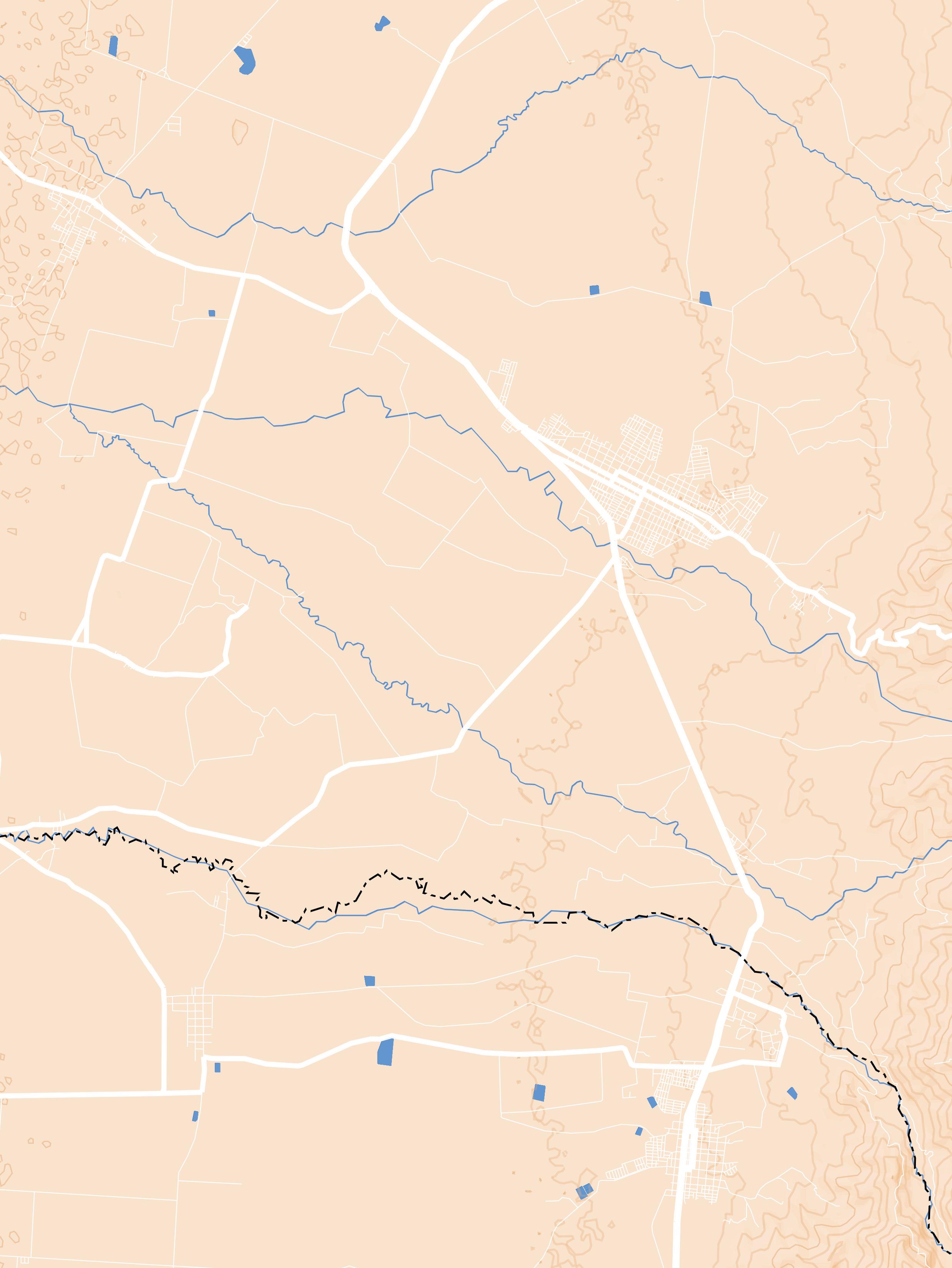
within the territory of Florida, are listed as Cultural Buildings. 8 It is also mentioned that “future developments [of cultural buildings] should be designed as multipurpose halls so that they serve not only for the presentation of shows but also for other uses.” 9 Also, in the following paragraph, it is clarified that:
It should be considered that in the new cultural centres and establishments there should be libraries and computer consultation facilities, among others, and implement this type of use in areas where there is a deficit of cultural facilities. 10
This directly suggests that the refunctionalisation of heritage buildings, in this case, the Hacienda Perodias, should provide some kind of public cultural use, considering that it is also owned by the municipality since 2010. Also, emphasising the last part of the fragment where it is suggested that this type of use in “areas where there is a deficit of cultural establishments,” in itself infers a verification of the availability of such establishments, whether public or private, that exist in the territory surrounding this hacienda, an exercise that was carried out at a later point.
In order to determine precisely what new cultural functions could be developed in the spaces of the Hacienda Perodias, new approaches were made to the surrounding territory, focusing this time on the distance of travel, either by car or bicycle, from the nearest towns (less than 6 km away), and on the existing cultural offer in the vicinity.
These analyses were carried out at two different scales: first, the recognition of the hacienda positioned within a cluster of urban centres and townships distributed in the rural area, which are connected to it through a transport infrastructure; the scale of the neighbourhood. Then, having approached the field of vision, the relationship between the hacienda and the nearest urban centre, Florida, was examined in terms of the availability of cultural services (libraries, museums, cultural centres, etc.) in both urban and rural areas, together with the current condition of the means that allow the inhabitants to approach its grounds.
Taking the Map [F1] as a reference, it is possible to visualise that the Hacienda Perodias, despite being closer (3,40 linear kilometres) to the urban centre of the municipality of Florida, is also less than 5 kilometres far from seven other settlements, the townships of Remolino, Chococito and Santa Rosa, to the south
[8] Ibid, 234.
[9] Ibid, 235.
[10] Municipality of Florida, PBOT, ibid.

of the rural zone of the municipality of Florida, and the townships of La Lindosa, San Andrés, Santa Ana and El Cañón, to the north of the rural area of the municipality of Miranda, this one already within the department of Cauca.
This map also shows how the Hacienda Perodias lies at a relatively central point with respect to the populations mentioned above, which allows us to imagine that these, in addition to the inhabitants of the urban centre of Florida, could be the communities directly interested in its transformation as a cultural facility. This strategical position, the result of its historical importance as a centre of agricultural production that supplied the markets of neighbouring towns, suggests for the present a new function that allows for the recovery of this connection, but this time as a provider of cultural services and producer of new ideas, a place where cultural exchanges can also be possible.
In fact, and as part of this search for new meanings for the Hacienda Perodías, it is worth considering that the rural communities that inhabit the southeast and northeast of the departments of Valle del Cauca and Cauca, respectively, have a
large majority of their population ethnically self-identified as belonging to an Afrodescendant or indigenous community. 11
This is not a coincidence either, since the appearance of several of these settlements can be directly related to the presence of haciendas in the vicinity, as can be seen in Map [F1]. At least as far as the Afro-descendant communities that inhabit this region of the Cauca River Valley today are concerned, it is feasible to assume that their origin is connected to the presence of slaves in the haciendas present, who, after acquiring their freedom, established communities on the periphery, not far from the haciendas. 12 This, in a way, reveals the deep historical connection that would exist between Perodias and the human collectivities that surround it and therefore can justify, beyond its recovery and refunctionalisation, the resignification of its spaces, which represent for some people history as painful as slavery was in the Colombian Pacific region. 13, 14 The ultimate aim of the intervention could be to make the hacienda a place where both retribution and the transmission of their ancestral knowledge are possible.
The availability of spaces involving
[11] Colombia, National Administrative Department of Statistics (DANE, for its acronym in Spanish), “National Census in Population and Property 2018, (CNPV for its acronym in Spanish),” Ethnic differential approach category, accessed 27 May 2022, https://geoportal.dane.gov.co/.
[12] History Centre of Florida, “Lugares: Chococito y Tarragona,” Memoria Floridiana Newsletter, 2, January 2021.
[13] The age of slavery in the Colombian Pacific covers the period between the last two decades of the XVII century and the middle of the XIX century, exactly in 1851, when its total abolition was decreed.
[14] Maria Cristina Navarrete, Génesis y desarrollo de la esclavitud en Colombia Siglos XVI y XVII (Cali: Universidad del Valle, 2005).
such cultural interactions is precisely what concerns the map [F2], which spatially relates the lands that make up the Hacienda Perodias to the nearest urban centre, Florida. However, the disconnection of this hacienda from its immediate surroundings is evident from many points of view.
From this approach, the distance that separates the two (just under 3.5 km) is strongly dramatised. In addition to being geographically separated by the Fraile River basin, a primary route of the national road network exacerbates this spatial perception. 15 Along the stretch that runs tangentially to the city, it is not possible to identify neither sidewalks nor pedestrian crossings, much less a bicycle lane, which would allow the inhabitants to travel safely in the presence of the high traffic that characterises this national route, being subordinated to the berms located on both sides of it. Thus, the only effective means of connecting the two places, the city and the hacienda, is motorised transport.
It could be said that, to date, there is little or no spatial connection between the inhabitants of urban and rural areas and the Hacienda Perodias, despite the fact that it is an average of just over 6 km from the nearest villages or the municipal capital. This loss of cohesion between the inhabitants and the hacienda is accentuated by the clear
change of landscape during this journey, which switches from an urban to a rural agricultural environment in a matter of minutes, a landscape in which the hacienda seems to disappear completely. This, in terms of spatial perception, profoundly affects how its presence creates and holds meanings within the everyday life of the inhabitants, itinerant passengers and transporters between the townships and the urban centre of Florida, who tangentially pass through the west of the hacienda’s grounds. Moreover, being completely abandoned, this property also lacks the possibility of associating its spaces with functions and periodicity of use, which intensifies the silence in which it finds itself today and how it is gradually disappearing from the collective memory of Florida.
It is at this point where an aspect appears that, although not directly relevant to the scope of this intervention, may be decisive in guaranteeing the effectiveness of its re-functionalisation in the (re)creation of this hacienda as a place for the neighbouring communities. 1616 Making it possible to approach it safely and effectively by any of the different means of transport that exist today, especially by alternative means of transport (skateboards, bicycles and electric cars), can have a major impact on how the appropriation of it is built by those who
[15] Colombia, Ministry of Transport, National Road Institute (INVIAS, for its acronym in Spanish), National road map, accessed 27 May 2022, https://www.invias.gov.co/index.php/ informacion-institucional/2512-mapa-de-carreteras-2014b.
[16] María C. Van-der-Hammen, Thierry Lulle and Dolly C. Palacio, “Construcción Del Patrimonio Como Lugar: Un Estudio de Caso En Bogotá,” Antípoda 8 (January-June 2009): 5-7.
visit it or make use of its spaces.
And it is this use, the ultimate reason for the realisation of such a journey towards the hacienda, the objective dimension of the map [F2]. In this map, it is visible how the cultural offer existing today in Florida is concentrated in three institutions dedicated to different fields of culture, all located within the urban area: the municipal library “Felix Raffan Gomez”, the Centro de Estudios Historicos de Florida [Centre for Historical Studies of Florida] and the Casa de la Cultura [House of Culture of Florida]. The latter is the institution from which most of the cultural events that take place in the municipality are organised and disseminated, notably the Sugar Cane Fair, the Latin American Cultural Festival “Pachamama”, the International Dance Festival “Colombia Baila” and the Afro-Colombian Festival. 1717
For its part, the hacienda was a point of interest and a place of cultural tourism at least during the management of the organisation Fundación Patrimonio, between 2012 and 2016, a period in which the populations, especially the younger ones, were brought closer to the historical heritage represented by the hacienda’s constructions, as well as to the lush natural landscape that surrounds it (see fig. ??).
Although today the continuity of these activities has been lost, it is worth considering them as a possibility of enjoyment compatible with the new uses that would be found in the hacienda. In other words, the reuse of these spaces should allow for tourist activities encouraged by its recognition as a national monument and a reference point for local history. Likewise, due to its position in the territory, the hacienda could become a meeting point for the communities of the nearby townships and the urban area. It could provide suitable spaces to host some of the cultural events that are currently concentrated in the urban area of Florida, thus decentralising access to culture. With this, the idea of recovering and reusing the spaces of the former Hacienda Perodias acquires an additional meaning: the reinforcement of the interaction between the communities that inhabit this territory by providing them with new spaces where culture is not only exhibited but also discussed and recreated by them. All these possibilities will be materialised in the following section.
[17] Colombia, Municipality of Florida, Culture and Tourism Secretariat (official website), accessed 22 August 2022, http://www.secretariaculturayturismofloridavalle.co/.
[Figure 51] Field visits by some foundations and educational institutions to the grounds of Hacienda Perodias. Carried out between 2012 and 2014.
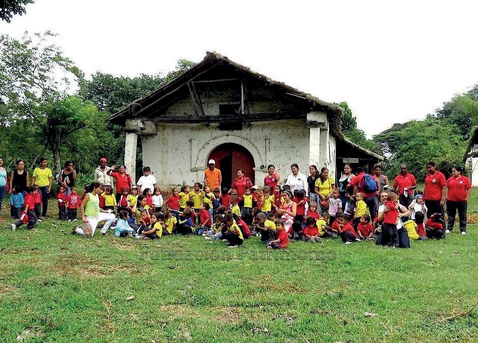
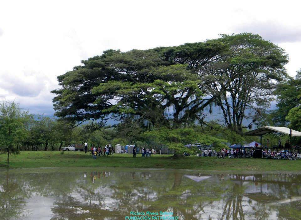
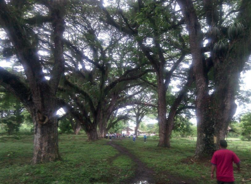
Images property of Fundación Patrimonio.
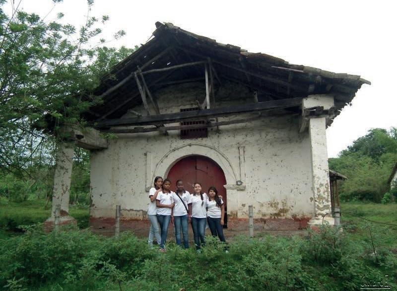
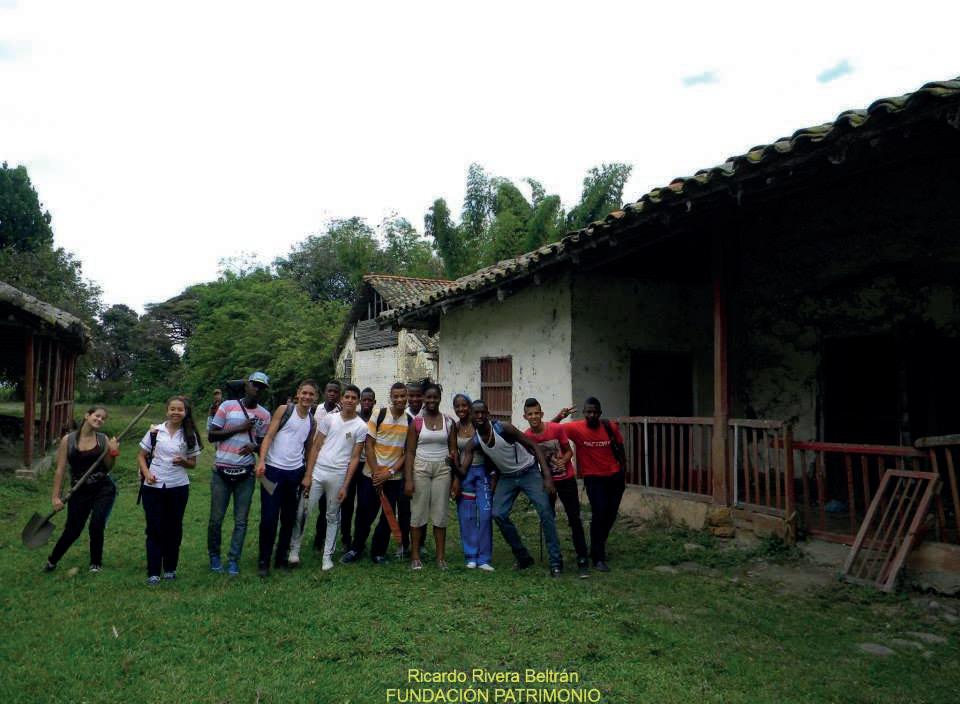
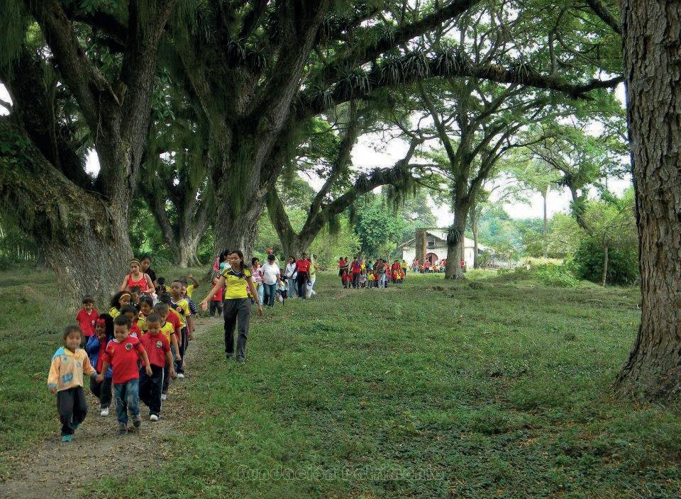
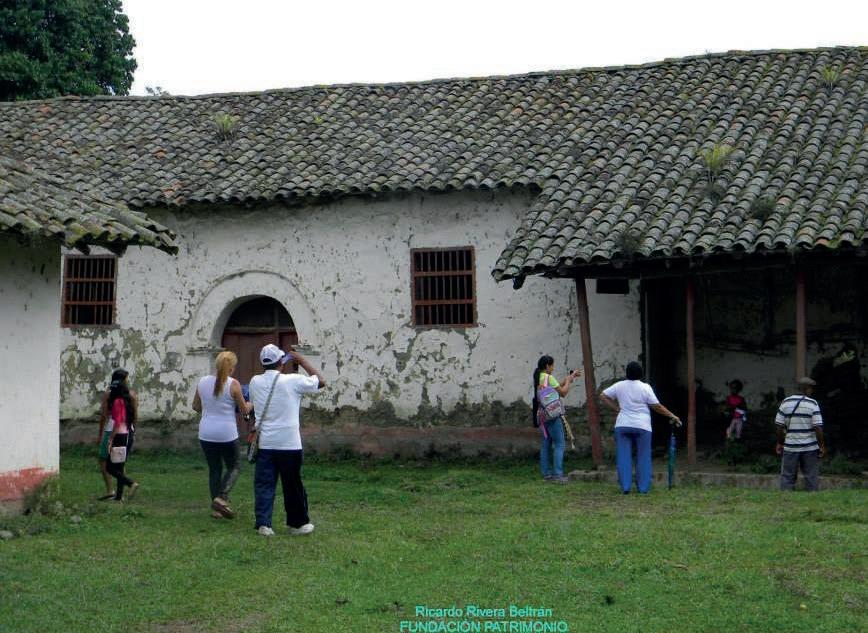
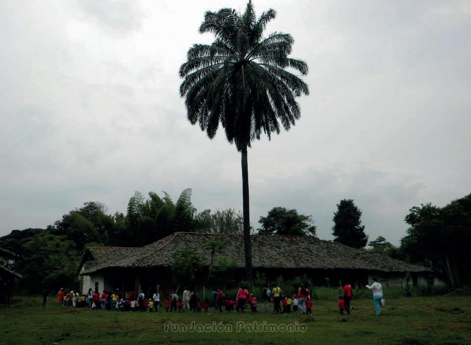
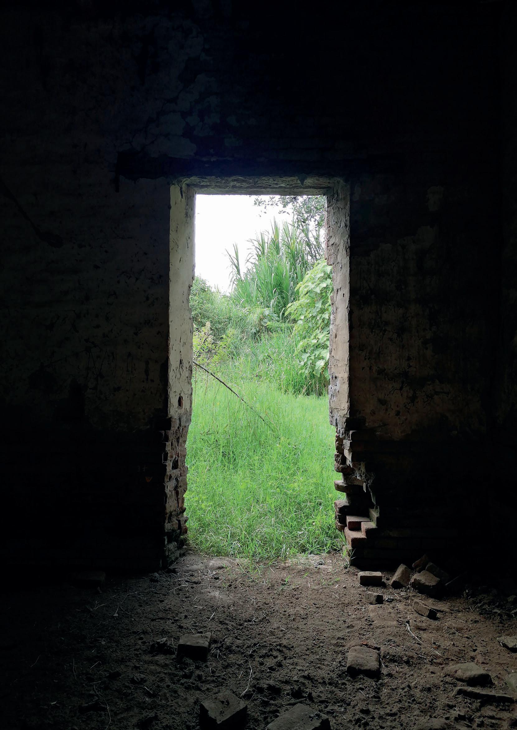
The proposal for the adaptive reuse of the Hacienda Perodias has as its general objective the recovery of an architectural heritage that, due to its advanced state of abandonment, runs the risk of disappearing completely from the collective memory. However, from the analysis of the territory, it is also clear that its intervention has an impact on environmental and social conditions that are quite intricate to the landscape in which it is immersed.
In order to properly address these conditions and how the project responds to them, it will be presented from two different scales of observation: an initial one where the hacienda is understood as an originally productive, anthropised territory, which today is unused; and a following one in which it is read as the built object, representing the domain of this territory, located within this landscape, and which is completely abandoned and also partially collapsed due to the same condition.
As a first approach to what should be the contemporary idea of an agrarian residue such as the Hacienda Perodias, it has been decided to take as a precedent the proposal of the Fundación Patrimonio to convert this land into an eco-park tentatively called “Los Coclies.” 1
This proposal, in general terms, sought to create recreational areas and low-impact activities inside the hacienda. In order to enhance the tourist value of the place, this project took as important elements the historical relevance that the Casa de hacienda, a national monument, projected together with the landscape and environmental values of its surroundings. The proposed uses included the creation of a municipal botanical garden, a nursery, a butterfly farm, trails and observation points for local fauna, as well as new buildings that would provide the ecopark
[1] Fundación Patrimonio (Florida Patrimonial), “Ecoparque Los Coclíes,” video presentation, Facebook, 26 August 2013, min 4:11, https://fb.watch/fvYeeDLctJ/
[Figure 51] The south entrance to the Presbytery, looking towards the lush vegetation that characterized today the surrounding open areas of the Hacienda.
Photo by the author, 2022.
with administrative, sanitary and recreational services. Within this project idea, the proposals for the “consolidation and definition of the wetland [Los Coclíes] as a drinking fountain and meeting and feeding point for native and migratory species,” 2 and the use of fruit trees and crops that still exist in the hacienda’s traditional orchard also stand out.
Although it has been barely suggested, it is worth mentioning an important factor behind the Fundación Patrimonio’s proposal, and that is the presence of animal species (amphibians, insects, birds and small mammals) and plants within the almost 10 hectares that make up this land. These species have been gradually appropriating this place since the complete cessation of human activities, especially those of a productive nature, more than two decades ago, thus increasing its biodiversity. 3 Since its abandonment, the hacienda has become a Third landscape, 4 diverse from the productive environment or the forest reserves designated around it. Due to its abandonment, the ecological value of this residual piece of land has consolidated it as “a natural sanctuary for the fauna and flora that has been typical of the region,” 5 which continues to evolve in the midst of a landscape homogenised by the agro-
industrial sugar cane crops that border it. It is from this perspective, of thinking of the hacienda as a territory with a high potential for biodiversity, that the proposal for its intervention is positioned.
When categorising the Hacienda Perodias as unused territory belonging to a Third Landscape, it becomes relevant to take into account that:
Weak pressure from the surrounding anthropised area (non-polluting practices) maintains a balanced diversity in the Third Landscape that can positively influence the overall environment. 6
Therefore, and as a starting point for the intervention proposal, the existing green-covered areas within the hacienda were identified and categorised, according to its origin and the possibility of a connection between low-impact human activities and wildlife (see fig. 53). Consequently, four different types of gren areas were identified within what can be perceived as a large natural reserve:
[2] Ibid.
[3] Gilles Clément, Manifesto del Terzo Paesaggio (2005; Macerata: Quodlibet, 2014), 37-39.
[4] Ibid, 24.
[5] Florida Patrimonial, “Ecoparque Los Coclíes. Florida - Valle del Cauca,” outline of the proposal for the Hacienda Perodias’ grounds, Facebook, 28 June 2017, https://www.facebook.com/ fundapatrimonioflorida/photos/a.306615106171902/306615899505156
[6] Clément, Terzo Paesaggio, 38.
a. The wetland area. It is an outcome of rain cycles and flooding of old irrigation ditches [in the vicinity of the entrance atrium].
b. The forest areas consolidated especially after the abandonment of the hacienda, which allowed it to grow freely [existing to the west of the property].
c. The traditional kitchen garden. Originally exploited as a source of fruit and subsistence crops mainly used in the kitchen area. The specimens found there are a sample of the typical flora species of this geographical region [north area of
Legend
Forest Kitchen garden Meadow Wetland
[Figure 53] The system of green-covered areas within the new Hacienda Graphic by the author, 2022
the Family House].
d. The former cattle meadows. Those are formerly productive areas characterised by their extension and absence of vegetation [northern area, adjacent to the pedestrian access axis].
Subsequently, it was established as a structuring axis for the consolidation of human activity nodes in such a way that it is possible to minimise the impact on the wildlife and its established dynamics and thus guarantee its positive coexistence. The following were then designated as
focal points of human activity:
e. The access gateway to the grounds of the Hacienda
f. The area of influence of the heritage complex and its surrounding areas.
In the first node, public and private transport modes would converge, allowing only visitors travelling on foot, bicycle or electric scooter to pass through. Only one vehicle connection axis between nodes (e) and (f) would be dedicated to the entry and exit of inputs or waste to or from the hacienda respectively (see fig. 54).
Legend
Bicycle parking
Bus stop
Visitors parking Waste management
Service parking
[Figure 54] The system of human and transports vectors within the new Hacienda Graphic by the author, 2022
Based on this classification, a series of uses compatible with some of these were defined within the intervention proposal, taking into account both their proximity to the activity nodes (a,b) and the pedestrian axis defined as the backbone of the hacienda’s cinematic approximation. Accordingly, it was decided to define zone (c) a circuit of paths designed to generate areas for recreation and observation of the birdlife that usually inhabits this type of ecosystem. For zone (f) a series of paths and surfaces are proposed for recreational and sporting activities, e.g. an open-air gymnasium and jogging track on floors
made of materials that allow rainwater to infiltrate into the subsoil. While zone (d) will remain outside of any intention to contemplate any type of compatible human activity, zone (e) will be integrated into one of the structuring axes of the proposed intervention of the architectural complex, which will be described in the later section [see plan 55].
Bird watching Sports area
[Figure 55] The system of low-impact activities within the new Hacienda Graphic by the author, 2022
[F3] Scale
THE WILDLIFE SANCTUARY | MASTERPLAN 1:2500
Palm tree
Main access Service access
Wetland
Forest Kitchen garden Meadow Sports area
Bicycle parking Service parking Bus stop Visitors parking Waste management
Irrigation ditch
Water stream | river
Hacienda’s perimeter
Approximation path

Enclosure fence
Access gateway 1 2 3 4 5 6 7 8
Forecourt gateway
Secondary gateway Art exhibition hall Family house Multi-purpose hall Study room Dormitory
1

[Figure 56] Perspective from the courtyard, looking to the new Social Kitchen area. Graphic by the author, 2022

As a response to the conclusions obtained from the analysis of the territory and the decision to concentrate the new human activities on a few structuring nodes, the proposal for intervention (restoration and adaptive reuse) of the Hacienda Perodías proposes its re-functionalisation as a space for institutional use dedicated to culture, specifically as a Centre for Arts and Crafts focused on the teaching, creation and dissemination of the cultural expressions of the Afro-descendant communities that inhabit not only the villages neighbouring the hacienda but are widely distributed along the western region of the country. In this manner, the intervention of this set of buildings involves not only the scale of the municipality but the department and geographical region themselves, since the cultural values that unite those communities could surpass political divisions within this territory.
of specific types of interventions applied on the existing structures in order to consolidate an adequate working methodology to adequately intervene in the objects of interest. Thus, the following phases in the intervention process were determined: the preliminary identification of steady structures and the cleaning or dismantling of collapsed/rotten/rusted elements, the demolition of components and structures, the reconstruction and completion of missing elements and partially collapsed partitions, and finally, the addition of new structures and components that would later be relevant for the introduction of new uses within their spaces.
Based on the analysis of the different construction phases and the current state of the group of buildings that today make up the Hacienda Perodías, it was decided to organise what would be its “fifth construction phase” into four different stages (see fig. 59 60), each of those involving the conducting
The first step in the intervention process of the old hacienda implies the recognition of the steady structures, that is to say, those that are able to bear and sustain new uses and therefore do not present any risk for the new users that would bring new life for the complex in the near future. For this, it is required first the disposal of the scattered material left throughout the many collapses that the buildings have suffered, simultaneously with the collection of any usable component found during the process (roof tiles, wooden beams or pillars, unsplintered adobe or clay bricks, ceramic tiles, etc.). These labours would be
concentrated mostly on the Family House’s north wing and the interior area of the nave of the Chapel.
During this same phase, it will be required the dismantling of the provisional roofing system that was built above the north wing of the Family House almost a decade ago. This is in order to facilitate the execution of the works to be carried out during the subsequent phases in this area. It would be relevant to consider the installation of new provisional structures in the chapel, towards the nave’s northeast corner and the access porch, areas that have been affected by the displacement of the roof, caused by the partial demolition of the interior wall on the north façade of the nave. Additionally, regarding the most recent collapsed section in the Family House, it would be required the appropriate detachment of some of the wooden beams and related bamboo components that are still connected in some way with the crumbled ones. This latter work will guarantee that the standing structures are not going to be pulled to the ground or affected by any kind of rotting process undergoing within the wooden elements that have been affected by weathering during the last few years.
After the completion of these preliminary works, the structures and areas that are suitable to be intervened during the following phases could be identified (see Fig. 57): The interior spaces of the Warehouse and the Chapel, including its annexed areas located to the outside, and the south wing of the Family House. Towards the north wing of the latter, only a few remnants of the cleaning process would be exposed: partitions that would have originally configured the kitchen area
and the annexed rooms and storerooms, possibly including some of the floors that may have been hidden under rubble.
This phase contemplates different interventions to be carried out, some due to structural reasons and others for aesthetic purposes conditioned by the design intentions of the intervention proposal (see Fig. 58). Concerning the Chapel, the existing roof would be completely dismantled, either in the nave area or in the presbytery and the stable on the north side. Due to the fact that it already showed signs of destabilisation, a situation that has also affected some of the load-bearing structures such as the north wall of the nave and the pillars of the access porch, it was decided to dismantle it while guaranteeing that the structures that had partially collapsed are sustained during such process. It was also decided to demolish the storage room attached to the west wall of the presbytery, due to the plastic conditions in which it is found, which also do not correspond to the architectural language of the rest of the building’s components or its geometric features.
At the same time, in the Warehouse, two demolition processes would be carried out sequentially: first, the demolition of the masonry partitions that configure what is today the storage room found on its ground floor, to be followed by the dismantling of the wooden slab and its supporting timber structure due to both the presence of rotten elements and the undermining of some components that have been attacked by xylophagous insects. As these conditions
compromised the structural strength of the mezzanine, it would be necessary to replace almost all of the elements in order to restore its previous structural performance, therefore it was decided to dismantle them definitively in order to re-open the interior of the central nave of the building as a strategy to later adapt it for new purposes. In this manner, the spatial configuration of this volume would be restored to its almost primal condition: a vast open but covered area characterized by a rhythm of masonry abutments that support its roofing system.
The third stage in the intervention process involves the reconstruction of the partially collapsed walls of the north façade wall of the Chapel’s nave and presbytery, together with the perimeter wall of the south room of the Family House (see Fig. 59). Additionally, the relocation of missing elements visible on the interior face of some of the perimeter walls of the Chapel would be carried out along with the detachment and subsequent reapplication of plasters and finishings concerning the same affected walls. These interventions involve the use of the same techniques that were originally used for the construction of such elements and their respective finishings.
Likewise, in this same phase, the roofing systems of the Family House and the Warehouse were considered for corrective maintenance, as a means to guarantee their proper waterproofing. Also as part of this set of actions, the roof of the Chapel, dismantled in the previous phase, would be rebuilt while the wooden components found in most of the existing buildings
would be restored, i.e. the cleaning of dust, the repairment of cracks, painting and varnishing while guaranteeing their resistance to xylophagous animal’s attacks. These processes would concern the wooden pillars of both the shed, attached to the north wall of the presbytery, the perimeter corridor of the Family House and the east and west façades of the Warehouse. The same procedures would be carried out for the (existing) wooden carpentry of the three buildings (doors and windows) as well as the completion of missing eaves and relative elements that were partially fractured during the abandonment period.
During this last stage, the main and most impactful interventions are going to be carried out. These imply the addition of new structures in correspondence to the level of preservation and authenticity of each area (see Fig. 60). Starting with the Family House, the most affected building thus far, the previously-collapsed north wing is going to be reconfigured with the construction of a new volume that will complete the lost roof profile and wall facings of the house in that area while integrating the pre-existing structures of the kitchen into an opener and wide space, thus contrasting spatially with the original portion of the house.
Concerning the Warehouse, taking advantage of the now-wider central nave of the building, a new interior partition is erected towards its north façade in order to provide new storage areas, and toilet facilities below a more compact first floor that can be used as the projection room. The rest of the space will be adapted to serve as
a multi-purpose room. The chapel, on the other hand, will be the building with the least amount of high-impact interventions, mainly due to its character as a ceremonial building that also embodies a deep history in its volumetry and interior spatiality. Therefore, a new spatial division will be built under the main arch, thus helping to re-establish its structural stability while re-emphasising the spatial division between what was once the nave and the presbytery. However, unlike the collapsed wall, which became a more opaque and massive division, the new structure will seek to be lighter and more transparent, so that visual continuity is not necessarily interrupted.
It is important to notice that two new structures appear in the proximity of the
PHASE I
[1] Collection and Disposal of scattered construction material in collapsed areas
[2] Dismantling of the provisional zinc sheet roofing system placed above the north wing of the Family House
[3] Installation of provisional supporting structures
[4] Detachment of connected wooden beams and elements from the collapsed segments
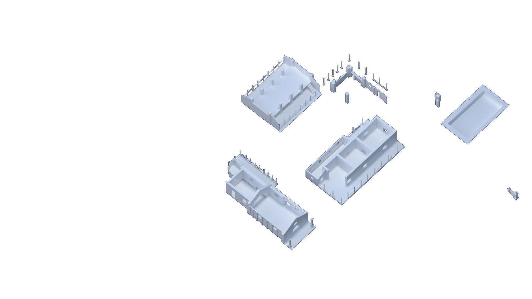
[1] + [2] [1] [3]
[4]
[Figure 57] The Identification and Consolidation of the existing structures Graphic by the author, 2022

original building complex: on one side, a completely new building, located far from the complex, towards the area where the sugar mill was originally placed during the first decades of the XX century. That would prevent it from entering the influence area of the national monument, whose image and global character have to be preserved, one of the main objectives of this commitment. On the other hand, the swimming pool, now transformed into a covered area that can now house new uses associated with the new artistic purposes for the old hacienda. Following the constructive language and rhythms, for both buildings a supporting system in wooden pillars and a gable roof are proposed, thus guaranteeing the water tightness of the interior spaces as well as
PHASE II
[1] Demolition of partially collapsed north façade walls of the family house
[2] Demolition of affected bahareque wall in the north façade of the warehouse
[3] Dismantling of wooden frames attached to the wooden pillars on both east and west façades of the warehouse
[4] Dismantling of the wooden deck and mezzanine bearing structure
[5] Demolition of wall partitions below the mezzanine
[6] Demolition of the storage area adjacent to the presbytery
[7] Opening of originally-closed access hollow to the presbytery
[8] Dismantling of the roofing system of the chapel
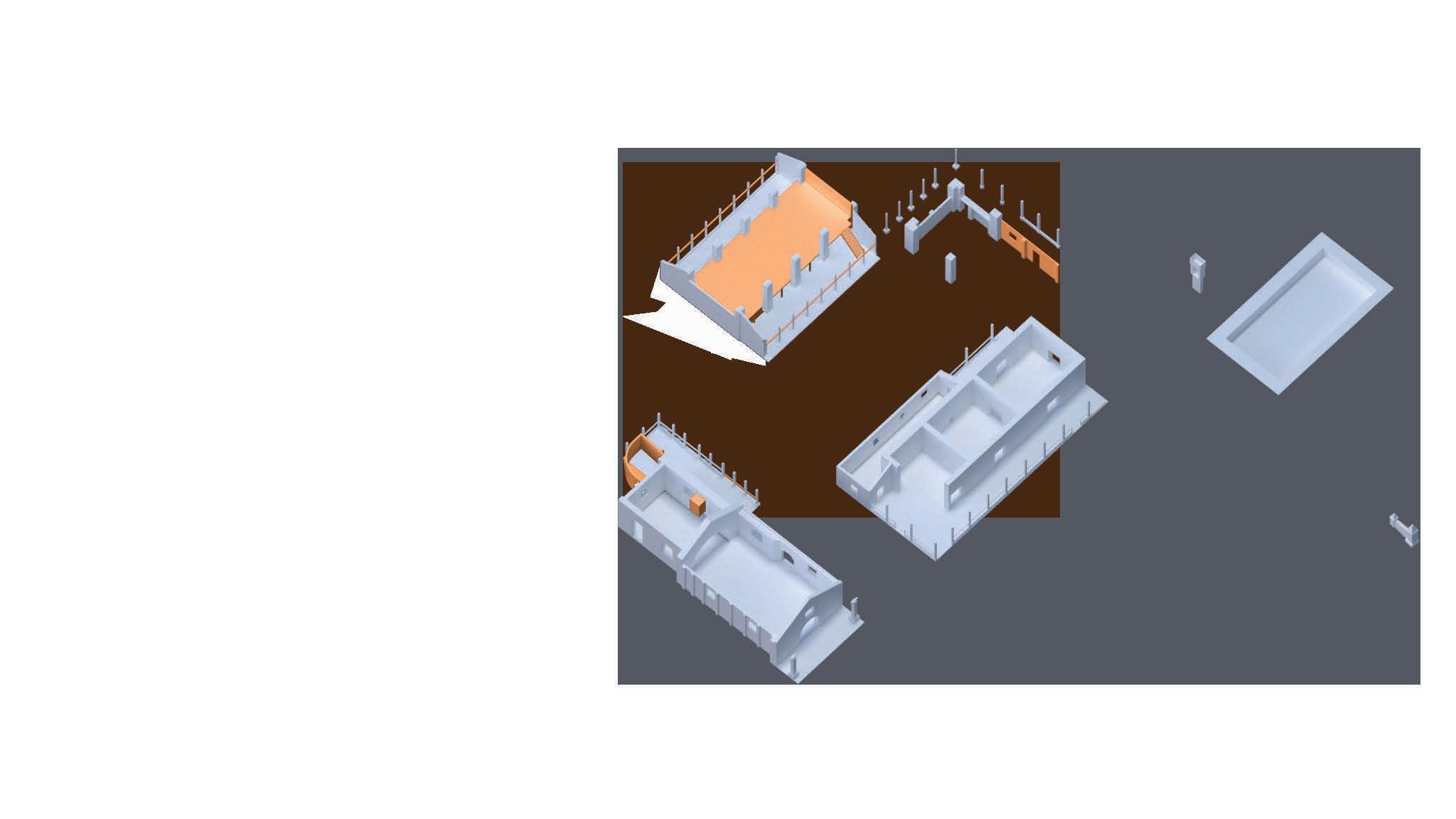
[4] [3]
[1]
[Figure 58] Demolition and desmantling of affected structures Graphic by the author, 2022

their adequate lighting and ventilation. It is also important to consider that none of those new buildings would surpass the height already established by the other buildings of the complex, in order not to alter the hierarchy of the main buildings within the new architectural ensemble.
PHASE III
[1] Reconstruction of partiallycollapsed bahareque wall on the south façade of the Family house and north façade of the Warehouse
[2] Replacement of missing wooden raillings components
[3] Reconstruction of partiallycollapsed adobe wall in the interior of the chapel
[4] Reconstruction of flooring finishing on the side porch (shed area), north façade of the chapel
[5] Reconstruction of roofing system of the chapel
[6] Repositioning of wooden frames attached to the wooden pillars (east-west façades of the warehouse)
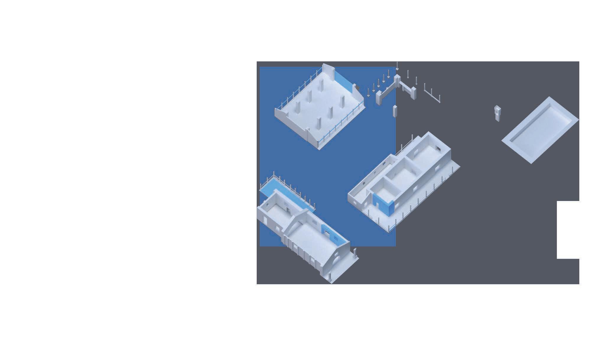
[Figure 59] Reconstruction of components and partially collapsed structures Graphic by the author, 2022

[1] Opening of new window hollow in the east façade wall of the Family house
[2] Construction of new wall partitions
[3] Enclosure of existing wall openings
[4] Construction of new segment of existing walls
[5] Construction of completely new structures
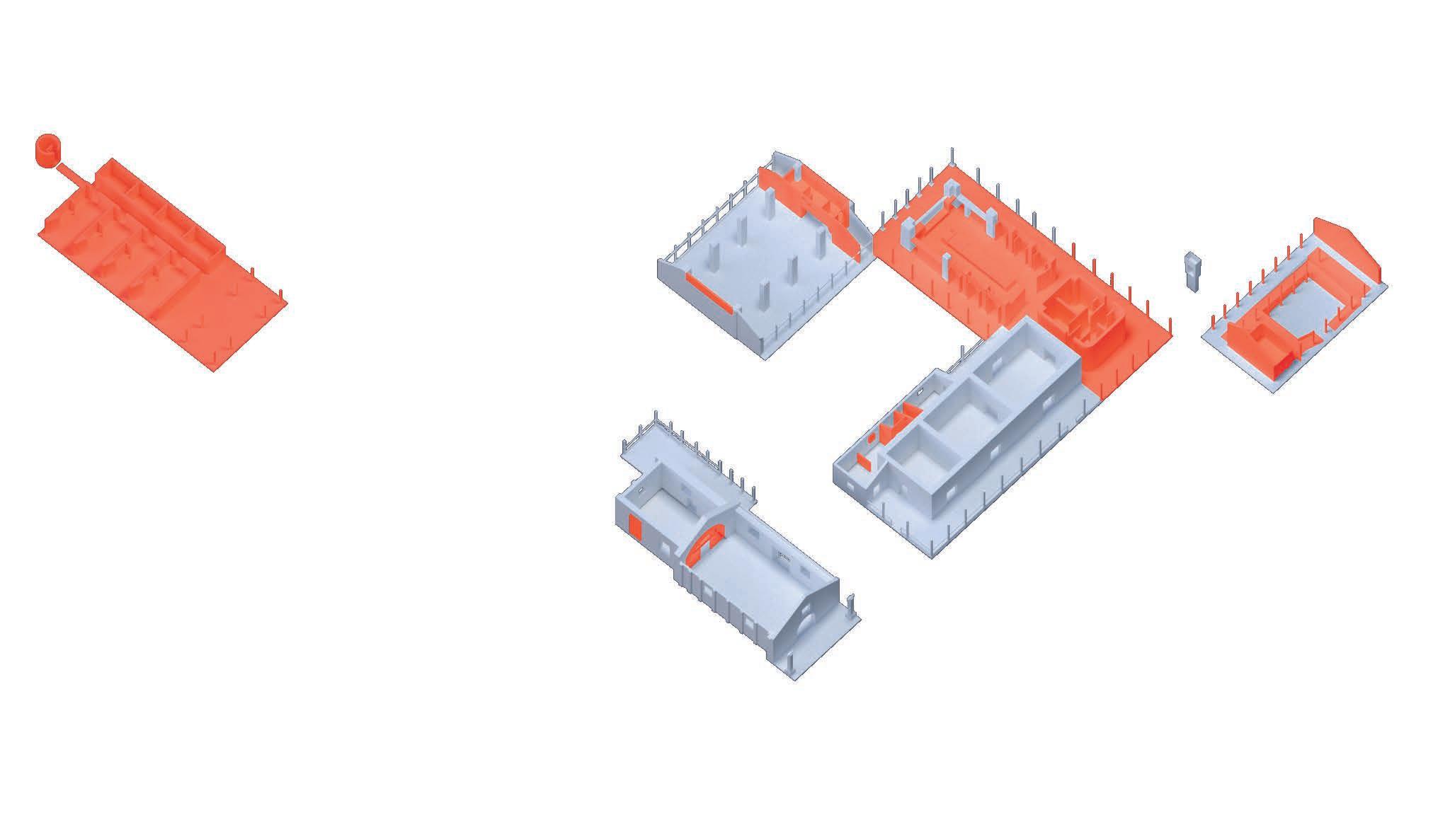
[Figure 60] Construction and installation of new structures and components Graphic by the author, 2022

The monument’s volumetry is completed: the roofing system and perimeter of the load-bearing walls are visually continued
Volumetric +
Seeking to contrast with the existing part, the new north opens up to allow a visual connection between the courtyard kitchen
From the religious ceremonial space
Succession of spaces according to a spatial hierarchy
To the artistic ceremonial
Lateral access + Reversal of the spatial
Considering the condition of the wooden structures, it was to demolish the mezzanine and the clay brick partition walls
Towards the artistic ceremonial
Freeing up the space and construction of a new module complementary spaces for the group activities that will be
contrast
ceremonial space hierarchy
and the north wing courtyard and the kitchen garden. ceremonial space
decided walls to locate be carried out there
Considering that the main objective of the intervention is the recovery of the built heritage and the resignification of the collective memory, the existence of the doctrine chapel was defined as the structuring axes of the proposal, the centre in itself of the resignification of memory, and the still possible relationship between the kitchen area (partially collapsed) and the traditional vegetable garden. The first, as a religious ceremonial space, in which the following of rites organised along a strong axillary and spatial hierarchy, would be rethought as the main space of a centre for the dissemination of the arts: the area for exhibitions, shows, assemblies, performances and any other type of artistic expression suitable for this purpose, in which the artistic ceremonial function becomes its new quality (see fig. 61). Moreover, considering also the strength that the hierarchy of its interior spaces may have had in the past during religious rites, it was decided to invert this axiality and define the main access from the side porch, through the presbytery, to reach the nave, the new focal point of the artistic dissemination.
The historical relationship between the traditional vegetable garden and the kitchen, the only space whose function has never changed throughout the history of the hacienda, was taken up
[Figure 61] The reversal of the catholic temple’s spatiality Graphic by the author, 2022
[Figure 62] The general plan of the hacienda’s buildings. New functions Graphic by the author, 2022
Storage Area Management Corridors
Atelier Reception Dinning room Kitchen Main access Room connection
[Figure 62] The new functions and spatial connection for the three existing buildings. Graphics by the author, 2022
Sanitary service
Dressing room Storage Multi-purpose hall
Access porch Foyer
Exhibition area
Main access Provisional access Room connection Projection room
Main access Room connection
again to define the space at the heart of the community character of the project. Through the transformation of an originally closed kitchen, designed for the work of servitude to their masters, towards the vision of an open kitchen, integrated with the dining room, the aim is to allow both the democratisation of the space and the teaching and discussion of ancestral knowledge found within the traditional cuisine of the Afro-descendant communities to meet in the same place. A fragmented food preparation area is then
re-imagined as a community kitchen that is open and available for occasional use by the neighbouring communities as well as for holding cooking workshops, thus allowing the interaction of the participants with those who share their knowledge while sharing the same cooking table.
The other spaces of the property are adapted in such a way as to allow the appearance of complementary uses
Legend
Study room
Computer room Corridors
Access porch Main access Room connection
[Figure 63] The new buildings: from abandoned swimming pool to study and consultation room. Graphics by the author, 2022
to the activities dedicated to the social dining room and the exhibition area: The Warehouse, taking advantage of its threeaisle typology, is used as a multi-purpose hall for artistic or teaching activities that require a covered and ample space for the organisation of some type of furniture. It is also determined that it can be used as a place for the projection of audiovisual material due to its spatial layout (see fig. 62).
The existing corridor of the house, which has been slightly altered, takes
over the administrative services in the old office area of the hacienda. The first hall, close to the main entrance to the building, is proposed as a reception and information point for visitors and for those who are carrying out activities within the arts and crafts centre. The other rooms are intended as multi-purpose rooms designed for leisure and artistic group activities. As for the collapsed area, one part will be dedicated to the aforementioned area of the social dining room and kitchen, while the opposite side in the articulation of
Sanitary service Legend
Dressing room Storage
Room
Multi-purpose porch Main access Room connection
[Figure 64] The new buildings: on the ashes of the sugar mill, the new artists dormitories emerge. Graphic by the author, 2022
the volume, to provide sanitary services and storage. These are also required as service spaces that provide logistical support for the proper functioning of the other adjacent areas dedicated to artistic, academic and recreational activities.
Also, in order to provide the new arts and crafts centre with spaces designed for community and artistic use, it was decided to build two new volumes complementary to the three main ones. These, in continuity with architectural languages (rhythms and tectonics of their components and materials), would be located in two areas equally related to the historical evolution of the complex:
The old swimming pool, adjacent to the house, was reused by considering its condition as a built element that provides a relatively stable surface to support new activities other than recreational use (see fig 63). First, a new roof structure was proposed to ensure the water tightness of the spaces underneath, and then an interior layout was determined to take advantage of and bridge the difference in levels between its perimeter corridor and the bottom. Thus, the new functions of a computer room and a study room are organised on two levels, uses primarily intended for the community adjacent to this old hacienda.
Likewise, taking into account the privileged position of the old hacienda as a refuge in the middle of a lush forest, almost lost within it, it was considered viable to provide suitable spaces for the realisation of programmes such as artist residencies
(see fig. 64). To this end, the construction of a new volume is proposed in the area where the mill was historically located, a little less than 30 m to the west of the complex. With this humble volume, the arts and crafts centre will be able to offer interested artists the idea of immersion and creative exploration by staying in this refuge, functionally linked to a national monument, a sample of a regional technological and typological evolution, which also lies far from the auditory, visual and communicative pollution of urban areas, lost in a natural environment that also represents the typical landscape of the type of forest characteristic of this region of the country.
With this and the other proposals for the use of existing and new spaces, the consolidation of what would be a new imagery for the old Hacienda Perodias approached from a theoretical and conceptual point of view, would be achieved. From there, the need to materialise and unveil what actions will be taken to carry out the previously mentioned ideas will be unveiled.
The materialisation of these intentions first requires an understanding of the technological and climatic conditions of the pre-existence to which they are intended to be anchored. Thus, in order to unveil the adaptations and constructive procedures that comprise the present adaptive reuse proposal, its development is approached from its relationship with external factors to the
[Figure 65] The runoff water containment system: A network of water canals that connect all the buildings. Graphic by the author, 2022
[Figure 66] The runoff water containment system: the flooding of the courtyard as an alleviation possibility. Graphic by the author, 2022
achievement of new materiality ties, deep inside the confrontation between two very different temporalities.
The water management strategy
Firstly, it was decided to work on the protection of the pre-existing complex from specific climatic conditions, which, due to the lack of maintenance, have become the biggest problem to be faced in order to guarantee its preservation. For this reason, it was decided to work the land adjacent to the bases of the buildings with the definition of slightly sloping surfaces in boulders, in the manner of a border, to receive and mitigate the splashing of rainwater from the eaves of the roofs. This would then be collected by a network of baked clay brick canals, following the language of some existing ones around the family home. This network of ditches borders and connects the existing and new buildings, collecting the water by runoff, and redirecting it to the traditional orchard area, where it would then be stored and used for irrigation of existing trees and crops in the area (see fig. 65).
Also, as a strategy to mitigate the impact of the rainwater tanks in the central courtyard, it was adapted in such a way that, in addition to being connected
to the network of brick ditches, it can successfully retain part of the volume of rainwater and thus prevent it from entering the interior areas of the buildings (see fig. 66).
With the development of this hypothesis of adaptive reuse of an architectural heritage complex such as the Hacienda Perodias, it is possible to conclude that an important part of the construction of more just and egalitarian societies, in which the voices of all its constituents have a place. This idea also implies the joint construction of the memory shared by them, without any exception. It is relevant to enhance the role that the historically-marginalized communities play in the appropriation and re-formulation processes of those spaces that were catalogued as cultural heritage from a biased point of view, which continuously excluded them from such processes, communities to which this heritage really belongs. It is not a matter of omitting their history, but of looking at it honestly, from the position of retribution and healing of the wounds that may be present in it.
Ridge +6,93 m
Sill +3,40 m
Reference +1,00 m
Social kitchen +0,14 m
North area -0,18 m
Ground Floor +0,08 m
[F8] Scale
Legend
OLD WAREHOUSE
Adobe construction wall
Fired Clay construction wall
Fired Clay construction wall Solid wood component
New/intervened structures
Ridge +7,30 m
Collar beam +6,28 m
Tie beam +3,78 m
Mezzanine +2,34 m
Reference +1,00 m
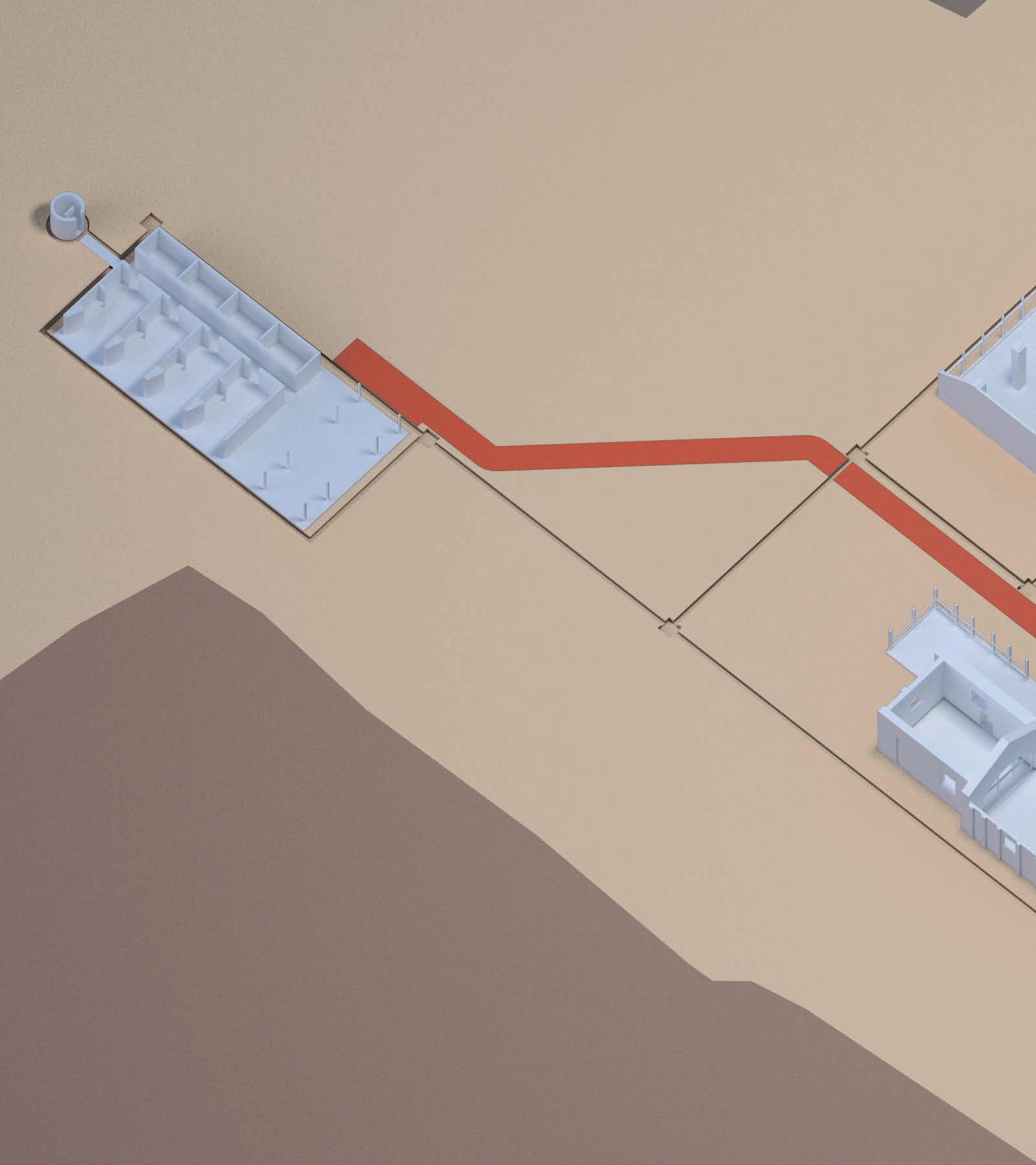
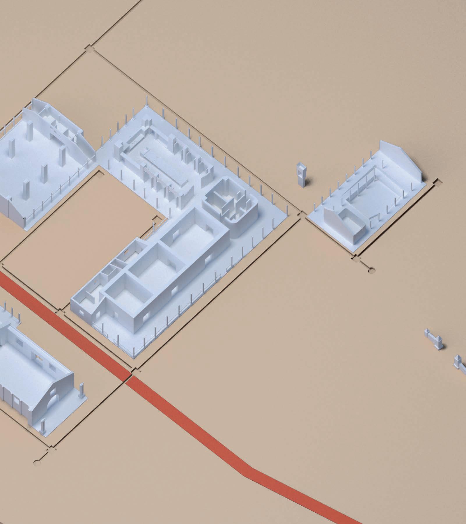 Above, [Figure 68] Digital representation of the 5th Phase of the Hacienda: the Hacienda de las Artes. Image by the author, 2022
APRILE-GNISET, Jacques. La Formación Espacial Americana Prehispánica. Cali, Colombia: Universidad del Valle, 2016.
ARANGO, Silvia. Historia de La Arquitectura En Colombia. Bogotá: Empresa Editorial Universidad Nacional, 1990.
ARBELAEZ, Carlos and Santiago Sebastian. Historia Extensa de Colombia. Tomo XX Vol. 4: La Arquitectura Colonial. Bogotá: Lerner, 1967.
BARNEY, Benjamin and Francisco Ramirez. La Arquitectura de las casas de hacienda en el Valle del Alto Cauca. Bogotá: El Áncora Editores, 1994.
BARRERA, Alvaro. Álvaro Barrera, Arquitectura y Restauración. Bogotá: Villegas Editores, 2003.
BARTOLOZZI, Carla (Ed.). Patrimonio religioso architettonico religioso. Nuove funzioni e processi di trasformazione. Roma: Gangemi Editore spa, 2018.
BOGOTA, Municipality of. Reciclaje de edificaciones en contextos patrimoniales. Bogotá: Buenos y Creativos SAS, 2018 ———, Patrimonio Renovado: intervenciones en el Patrimonio Inmueble Bogotano 2016-2019. Bogotá: Buenos y Creativos SAS, 2019
BURGOS, Roberto (Ed). Rutas de Libertad, 500 Años de Travesía. Bogotá: Pontifical Xavierian University, 2010.
BUSCHIAZZO, Mario. Historia de la Arquitectura Colonial Iberoamericana. Buenos Aires: Emecé, 1961.
COLMENARES, German. Las haciendas de los jesuítas en el Nuevo Reino de Granada. Bogota: National
University, 1969. ———, Cali: terratenientes, mineros y comerciantes. Cali: Universidad del Valle, 1975.
CLÉMENT, Gilles. Manifesto del Terzo Paesaggio. Macerata: Quodlibet, 2014.
JOKILEHTO, Jukka. A History or Architectural Conservation: The contribution of English, French, German and Italian thought towards an international approach to the conservation of cultural property (2nd ed.). London: Routledge, 2017.
LARSEN, Knut Einar and Nils Marstein. Conservation of Historic Timber Structures, an ecological approach. Oslo: Butterworth-Heinemann, 2016.
LOAIZA, Gilberto. Historia de Cali Siglo XX. 3 vols. Cali: Universidad del Valle, 2012.
MUÑOZ, Carmen, Carlos Recio, and Erica De la Fuente. Historia, Memoria y Patrimonio Mueble en Santiago de Cali. 2 vols. Cali: Universidad del Valle, 2011.
———, Procesos de Monumentalización en Santiago de Cali Cali: Universidad del Valle, 2014.
PALACIOS, Jose E. El Alférez Real. 1886. Historia Hoy: Colección Bicentenario series. Bogotá: Panamericana Formas e Impresos S.A., 2010.
PATIÑO, Sylvia (ed.). Arte y arquitectura religiosa en el Valle del Cauca. Cali: EditorSPatiño, 2007.
PLEVOETS, Bie, and Koenraad Van Cleempoel. Adaptive Reuse of the Built Heritage. Concepts and Cases of an Emerging Discipline. New York: Routledge, 2019.
POSOCCO, Pisana, and Manuela Raitano (eds.). La Seconda Vita Degli Edifici. Riflessioni e Progetti Macerata: Quodlibet, 2016.
SEBASTIAN, Santiago. Arquitectura colonial en
Popayán y Valle del Cauca. Cali: Universidad del Valle, 1965.
ZULUAGA, Francisco et al. Valle del Cauca, procesos históricos. Cali: 2012.
VÁSQUEZ, Edgar. Historia de Cali en el Siglo 20. Sociedad, Economía, Cultura. Cali: Edgar Vásquez Benítez, 2001.
VILLEGAS, Benjamín, ed. Casa de Hacienda. Arquitectura En El Campo Colombiano. Bogotá: Villegas Editores, 1997.
WONG, Lliane. Adaptive Reuse, Extending the Lives of Buildings. Basilea: Birkhäuser, 2016.
BATCHELER, Ronald W., and Nicolas Sanchez. “The Encomienda and the Optimizing Imperialist: An Interpretation of Spanish Imperialism in the Americas.” Public Choice 156 (2013): 45–60.
BONILLA, Ramiro and Ricardo Hincapie. “Arquitectura religiosa y su importancia urbana en el Valle del Cauca. Metodología de investigación.” Cuadernos CITCE 1, no. 3 (1999): 1-98.
COSSIN, Zev A. “Community and the Contours of Empire: The Hacienda System in the Northern Highlands of Ecuador.” International Journal of Historical Archaeology 23, no. 4 (2019): 1039–62.
CRUZ, Noel. “Notas sobre la arquitectura colonial en Colombia.” Revista Proa 347 (1986).
CUEVAS, Maria F. “El Proceso de La Abolición de La Esclavitud En La Nueva Granada (1780-1860). Tiempos y Contratiempos de Una Transición Significativa, Entre La Revolución y La República.” Nuevo Mundo, Mundos Nuevos, 2018.
GARCÍA, Oscar A. “La Gobernación de Popayán y La Diferenciación En Las Fronteras Mineras Del Pacífico. Las Relaciones de Mando de Los Gobernantes Coloniales En La Nueva Granada, 1729-1818.” HistoReLo 10, no. 20 (2018): 54–99.
GASCA, Luis F., Jennifer S. Quintero and Lina M.
Hernández. “Mujer, Negra y Esclavizada. Cimarronaje Femenino y Espiritualidad Africana En Nueva Granada Durante El Siglo XVIII.” Ciudad Paz-Ando 14, no. 2 (2021): 106–17.
GOETCHEUS, Cari, and Nora Mitchell. “The Venice Charter and Cultural Landscapes: Evolution of Heritage Concepts and Conservation Over Time.” Change over Time 4, no. 2 (2014): 338-57.
GOMEZ, Delia Y. “Entorno Natural En Las Haciendas Jesuitas Del Valle de Cúcuta. Virreinato de La Nueva Granada (1750-1830).” Revista Cambios y Permanencias 10, no. 1 (2019): 435–82.
GOSLINGA, Cornelis. “Templos doctrineros Neogranadinos.” Cuadernos del Valle 5 (1970).
HINCAPIE, Ricardo. “La Restauración: Una primera aproximación conceptual.” Planta Libre 1, no. 7. (1995): 63-71.
HINCAPIE, Ricardo. “La Restauración: Historia del concepto y del significado.” Planta Libre 1, no. 6. (1993): 26-41.
LAURE, Jacques. “Para una historia de la transformación de edificios componer con la preexistencia.” Revista de Arquitectura 17, no. 1, Catholic University of Colombia (2015): 92-100.
MUNASINGHE, H. (2005) The politics of the past: constructing a national identity through heritage conservation. International Journal of Heritage Studies 11, no. 3, 251–60.
PALAU, Fernando. “Fundación para la Conservación y Restauración del Patrimonio Cultural Colombiano: Historia, realizaciones y archivo planimétrico y documental.” Boletín Cultural y Bibliográfico 46, no. 83 (2012).
PALMER, Richard. “A Brief History of Catholicism in Latin America.” The Philadelphia Trumpet 4, no. 5 (2013).
PERALTA, Jaime Andrés. “Lo Natural y Lo Humano: La Construcción de Realidad Entre Los Estamentos Negros Del Virreinato de La Nueva Granada.” Antípoda. Revista de Antropología y Arqueología, no. 24 (2016).
SEBASTIAN, Santiago. “Techumbres mudéjares en la Nueva Granada.” Cuadernos del Valle 1 (1965)
VANEGAS, Isidro. “Elecciones y Orden Social En Nueva Granada, de La Monarquía a La República.” Anuario Colombiano de Historia Social y de La Cultura 48, no. 1 (2021): 69–93.
VAN DER HAMMEN, María Clara, Thierry Lulle and Dolly Cristina Palacio “La construcción del Patrimonio como Lugar: Un estudio de caso en Bogotá.” Antípoda no. 8, January-July (2007): 61-85.
VECCO, Marinela. “A definition of cultural heritage: From the tangible to the intangible” Journal of Cultural Heritage 11 (2010): 321–324.
BERMUDEZ, Isabel C. “La caña de azúcar en el Valle del Cauca: una historia de su desarrollo industrial.” Credencial Historia 92, 1997. https:// www.banrepcultural.org/biblioteca-virtual/ credencial-historia/numero-92
Colombia. National Congress. General Law of Culture, Law 397. Adopted August 7, 1997.
———, Additional dispositions to the Law 397, the general Law of Culture Law 1185. Adopted March 12, 2008.
Colombia. Ministry of Education. Decree 2941. Adopted August 06, 2009.
———. Decree 2358. Adopted Dicember 29, 2019.
Italy. Ministry of Education. Italian Restoration Chart of 1972. Memorandum n° 117 April 6, 2019.
MESSANA, Federica. “Alcamo, una tappa delle Vie Francigene siciliane. Proposta di rifunzionalizzazione della Chiesa dell’Annunziata e dell’ex Oratorio.” Master diss., Politecnico di
Torino, Turin, 2019.
MINGO, Ottavio. “Il Patrimonio Architettonico Religioso di Noto: un circuito per la connessione e la valorizzazione delle chiese storiche.” Master dis., Politecnico di Torino, Turin, 2018.
TRUJILLO, Daniel and Juan Camilo Valencia. “Análisis Técnico-Constructivo de Las Edificaciones de La ‘Hacienda Perodías’ (x. XVIII), Florida, Valle Del Cauca.” Master diss., Universidad del Valle, 2020.