1 minute read
LOCATION


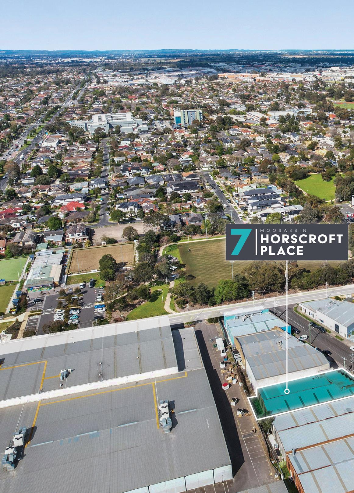
Moorabbin is located approximately 18km south-east of the Melbourne CBD.
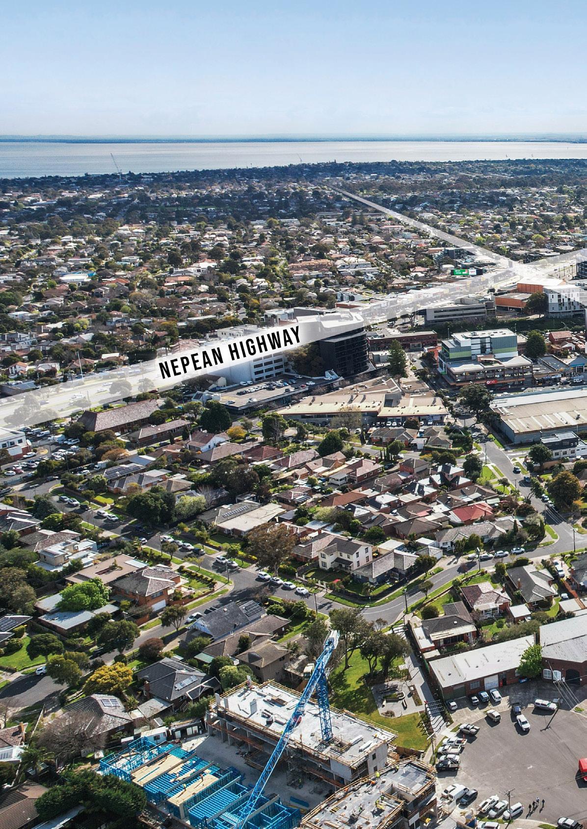
The subject property is located just off Linton Street near South Road and the intersection of Nepean Highway.
This location is undergoing a major transformation with the council recently rezoning the area as Activity Centre and encouraging multi-level residential developments.
The property is situated with excellent access to major arterials including South Road, Nepean Highway and Dingley Bypass.
At the end of South Road is Green Point Beach, with premium surrounding suburbs including Hampton, Hampton East, Brighton, Bentleigh East & Highett. The property is also surrounded by some of Melbourne’s best education facilities including Moorabbin Primary, Bentleigh Primary, Bentleigh Secondary College, St Katherines Primary, Cheltenham Secondary and St Agnes Primary to name a few.
Major medical facilities in the area include Cabrini Brighton, Linacre Private Hospital, Holmesglen Private Hospital and Sandringham Hospital.
Westfield Southland is situated nearby the property, home to major national retailers including Myer, David Jones, Harris Scarfe and Village Cinemas, fundamentally providing a wide range of amenities within the shopping precinct.
The Southland Railway Station services the Frankston line, with Moorabbin station only 400m away, as are several bus options along South Road and Nepean Highway.
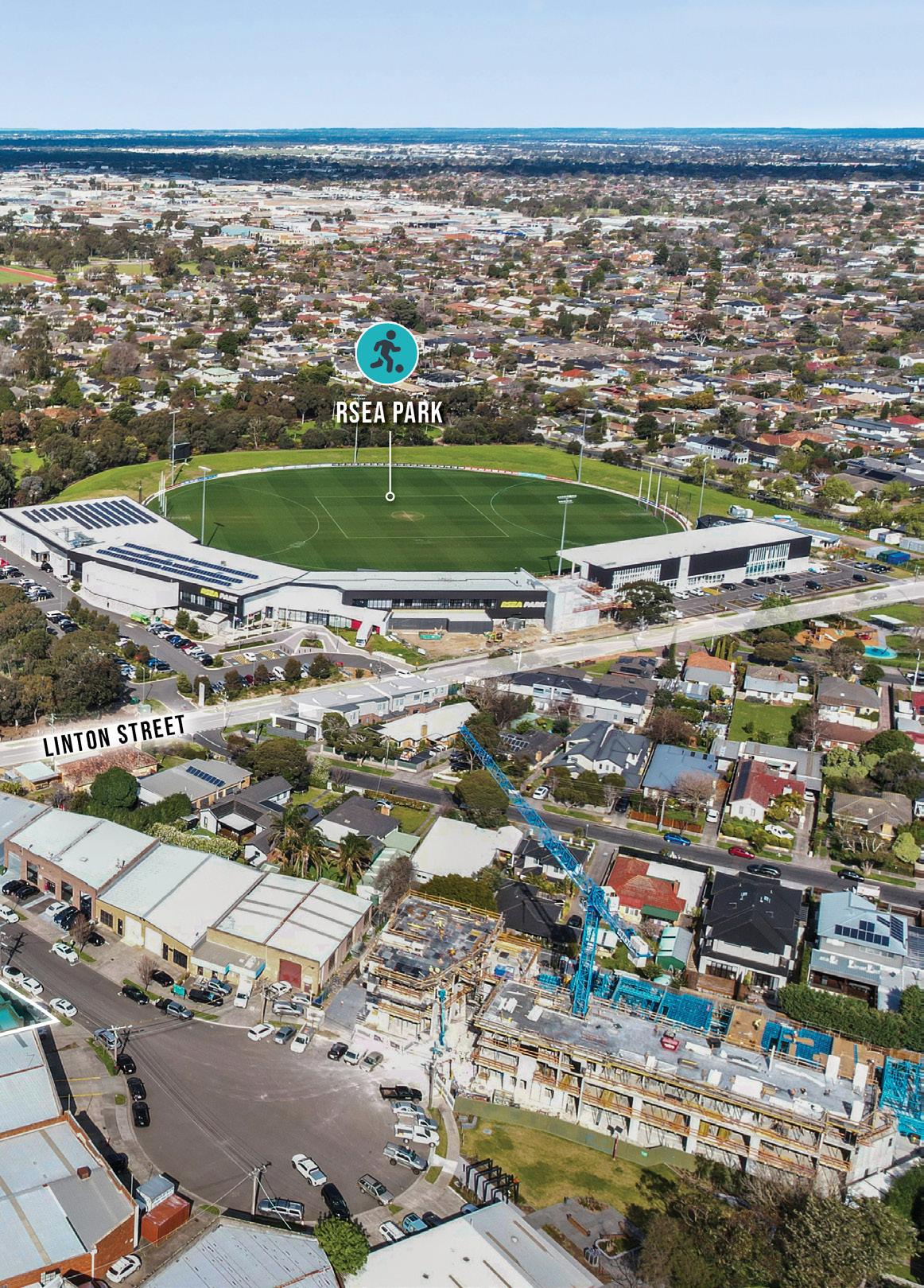
Moorabbin offers an array of lifestyle and shopping amenities that include some of Victoria’s most prestigious golf courses, Moorabbin DFO, Kingston Central Plaza and RSEA Park nearby.