5 minute read
This HEADBANGER’S A Ball


Cossatot River provides mild to wild outdoor entertainment
By JOE DAVID RICE // Photos Courtesy of ARKANSAS TOURISM
The “Cossatot Falls is a series of back-toback class III-IV+ rapids that drops around 40 feet in 1/8 of a mile,” and are a favorite of early-Spring white-water enthusiasts.
Tucked away in the steep, forested hillsides of the Ouachita Mountains in southwest Arkansas is one of The Natural State’s little-known treasures, the Cossatot River. From its headwaters a few miles southeast of Mena to the backwaters of Gillham Lake some 30 miles later, this stream tears through the east-west trending ridges of the Ouachitas, so impressive in its fight through the layers of bedrock that Native Americans blessed the powerful waterway with a very apt name: “skullcrusher.”
In its first 10 or 12 miles, the river flows through and then out of the Ouachita National Forest. Although early explorers had ventured into its rugged and remote watershed a couple of centuries ago (the “falls” of the Cossatot appear on maps published prior to Arkansas’ statehood in 1836), the Cossatot really didn’t become known to canoeists and kayakers until the early 1970s. Weyerhaeuser Corporation had acquired the Cossatot property in 1969 when it purchased the extensive land holdings of the old Dierks Lumber and Coal Company and conservationists began talking to Weyerhaeuser officials about putting the river corridor below the national forest boundary under public ownership. But citing concerns about litter, poaching, land management and fire control, Weyerhaeuser was reluctant to cede control of the land.
Richard W. Davies, then director of Arkansas State Parks, recalls the protracted efforts to buy the property. “It was a very big deal,” he said. “Nobody had ever done anything like this. It took a lot of hard work and flexibility from all the agencies and organizations.”
After a dozen years of intermittent negotiations, Weyerhaeuser agreed to sell 4,230 acres along a 15-mile stretch of the river to the State of Arkansas for a combined state park/natural area. The Arkansas Nature Conservancy bought the land for $690 an acre − 30% less than its appraised value − and then transferred it to the state over a period of years as funds became available.
Then-governor Bill Clinton, who was well aware of the long history of talks between Weyerhaeuser, the Arkansas Natural Heritage Commission, Arkansas State Parks and the Nature Conservancy, was a staunch advocate of the project and participated in the ceremony announcing the land’s purchase.
When the deal was finally announced on Nov. 18, 1985, Clinton said he believed “it would be easier for us to solve the difficulties in the Middle East than the problems in this transaction.” (Strangely enough, eight years later President Clinton himself orchestrated the historic Middle East peace settlement between Israel and the Palestinian Liberation Organization. But I digress.)
The Cossatot has a well-deserved reputation among serious paddlers for having some of the most challenging whitewater in the South, with rapids known by such colorful names as Eye Opener, Cossatosser, Whiplash and Washing Machine. Canoeists, kayakers and rafters flock to the stream when heavy rains, usually in late winter or spring, bring the river up to optimum conditions. It is not a stream for the novice floater.
One person who feels the stream has gotten an unfair rap is
Davy Ashcraft, superintendent of the Cossatot River State Park/ Natural Area. Ashcraft, who’s been coming to the stream since he was a kid, grew up in Cove which is 10 miles or so to the west of the park, and learned to fish, swim and skip rocks on the Cossatot. When asked what might surprise a first-time visitor to the park, Ashcraft said, “The Cossatot is not high water and rafting all the time. It’s a nice, super-clear, meandering river, great for swimming. I’m always blown away about how pretty it is.”
And the fishing is pretty good, too. “I’m still amazed by the clarity of the water,” he said. “You can see the fish looking at your bait before they strike.”
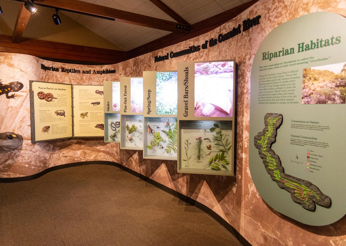
Ashcraft and his colleagues in the park are eager to introduce the Cossatot to folks who haven’t yet ventured to that corner of the state. A good place to start is at the 16,000-square-foot visitor center (1980 Highway 278 West) between Umpire and Wickes, about 75 miles west of Hot Springs. In addition to a wildlife observation room, the center includes an exhibit gallery featuring life both above and below the water, a hands-on laboratory, restrooms and a gift shop. The center is open December through February from 8 a.m. to 5 p.m., Monday through Friday and from 1 to 5 p.m. on Saturdays and Sundays. In the March to November peak season, it’s open daily from 8 a.m. to 5 p.m.
A limited number of tent sites (no hookups) are located at three locations along the river and a primitive group camping area is also available by reservation. Contact the park at (870) 385-2201 or cossatotriver@arkansas.com for additional information.
Hikers will be delighted to learn that the park offers a full gamut of trails, short to long and easy to strenuous. The Waterleaf Interpretive Trail is a barrier-free, quarter-mile paved loop extending just east of the visitor center and winds along the ridge top. At the northern end of the park is the Brushy Creek Nature Trail, a three-quarter-mile footpath situated on a ridge above the confluence of Brushy Creek and the Cossatot.
Print a copy of the Brushy Creek Trail Tree Identification Guide from the park’s page at arkansasstateparks.com before your trip to become acquainted with species making up the mixed-southern forest cover.
Those interested in longer hikes will want to check out the Harris Creek Trail or the Cossatot River Corridor Trail. The former is a moderately difficult 3.5-mile path through six different habitats, highlighted by an overlook atop a bluff offering a spectacular view of the river. The latter is a challenging 12.5-mile trail extending from one end of the park to the other, zigzagging across some of the roughest, most scenic terrain of the Ouachita Mountains.
Trailheads can be found at the visitor center to the south and the Brushy Creek Recreational Area. The Corridor Trail passes through the park’s access areas, allowing hikers the option of breaking their treks into shorter distances, if desired.
The high point of any visit to the Cossatot, of course, is a trip to the falls themselves, a series of cascades where the stream drops about 40 feet in an eighth of a mile. Getting there involves a bit of driving over graveled roads, but the dust is definitely worth it.
From the visitor center, turn east on Arkansas 278 for 1.3 miles, then turn left (north) onto Weyerhaeuser Road 52200. Remain on this road for 3.6 miles until the intersection with Weyerhaeuser Road 52600. Turn left (west) onto 52600, traveling for
1.8 miles and then turning left into the Cossatot Falls Recreation Area. A short walk will then take you to what might well become your favorite photo op.
To sum up, the Cossatot River State Park/Natural Area is one of southwest Arkansas’ true natural treasures. Pack your camera, hiking boots, walking sticks and a picnic lunch and get ready to enjoy this special gem of The Natural State!
Outdoor recreation is a fun way to spend your time, and it’s also full of health benefits. From walking and hiking to fishing and hunting, being outdoors is a great way to get a physical and mental workout.
One way to enjoy our great outdoors is simply by observing wildlife. Scan here to find out how you can get a front row seat to nature.


