OUTDOORS


 Hikers walk with their dogs along the trail, as the morning sun peeks through the trees at Walnut Creek’s Shell Ridge Open Space.
JOSE CARLOS FAJARDO/STAFF ARCHIVES


 Hikers walk with their dogs along the trail, as the morning sun peeks through the trees at Walnut Creek’s Shell Ridge Open Space.
JOSE CARLOS FAJARDO/STAFF ARCHIVES


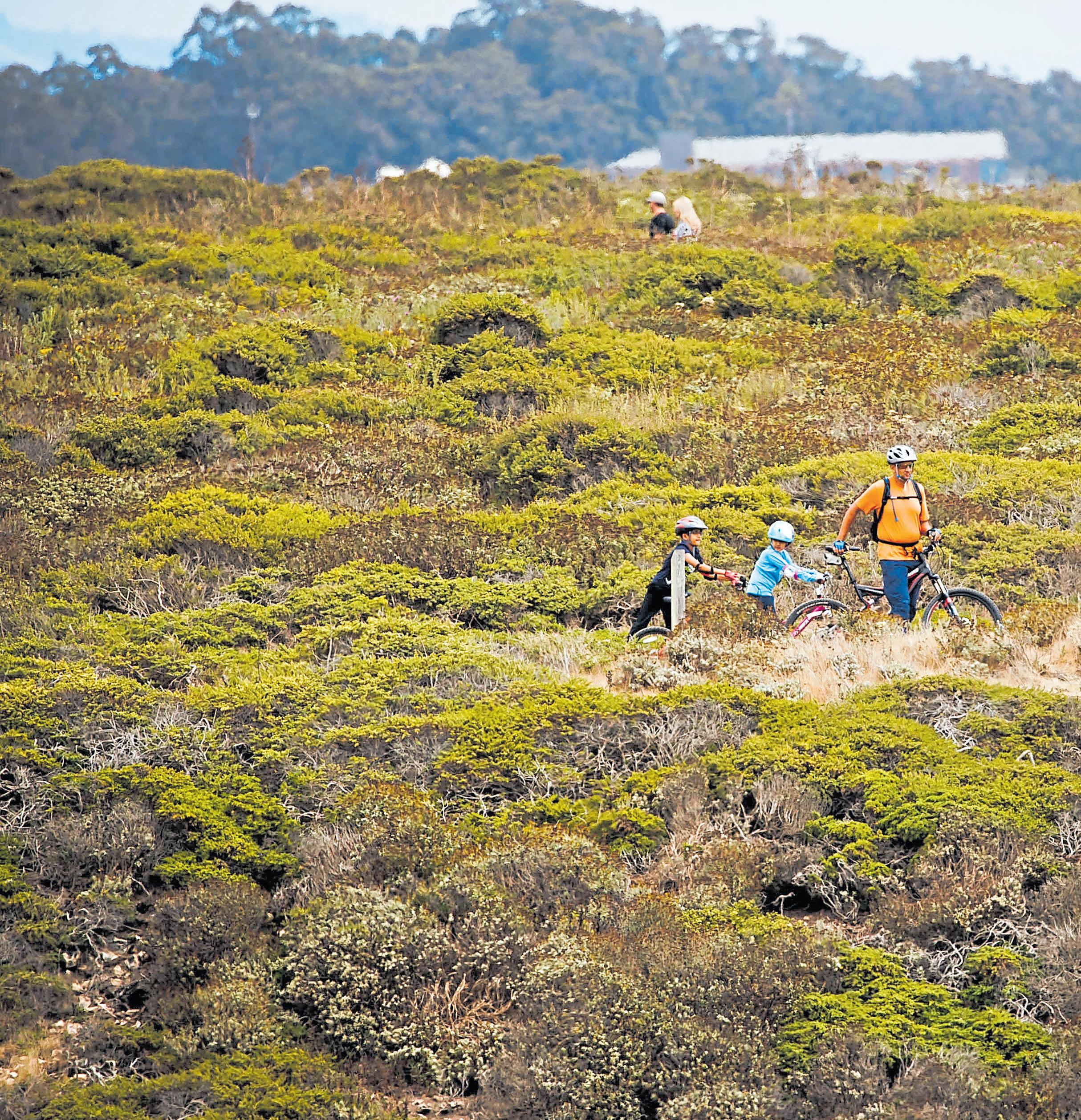
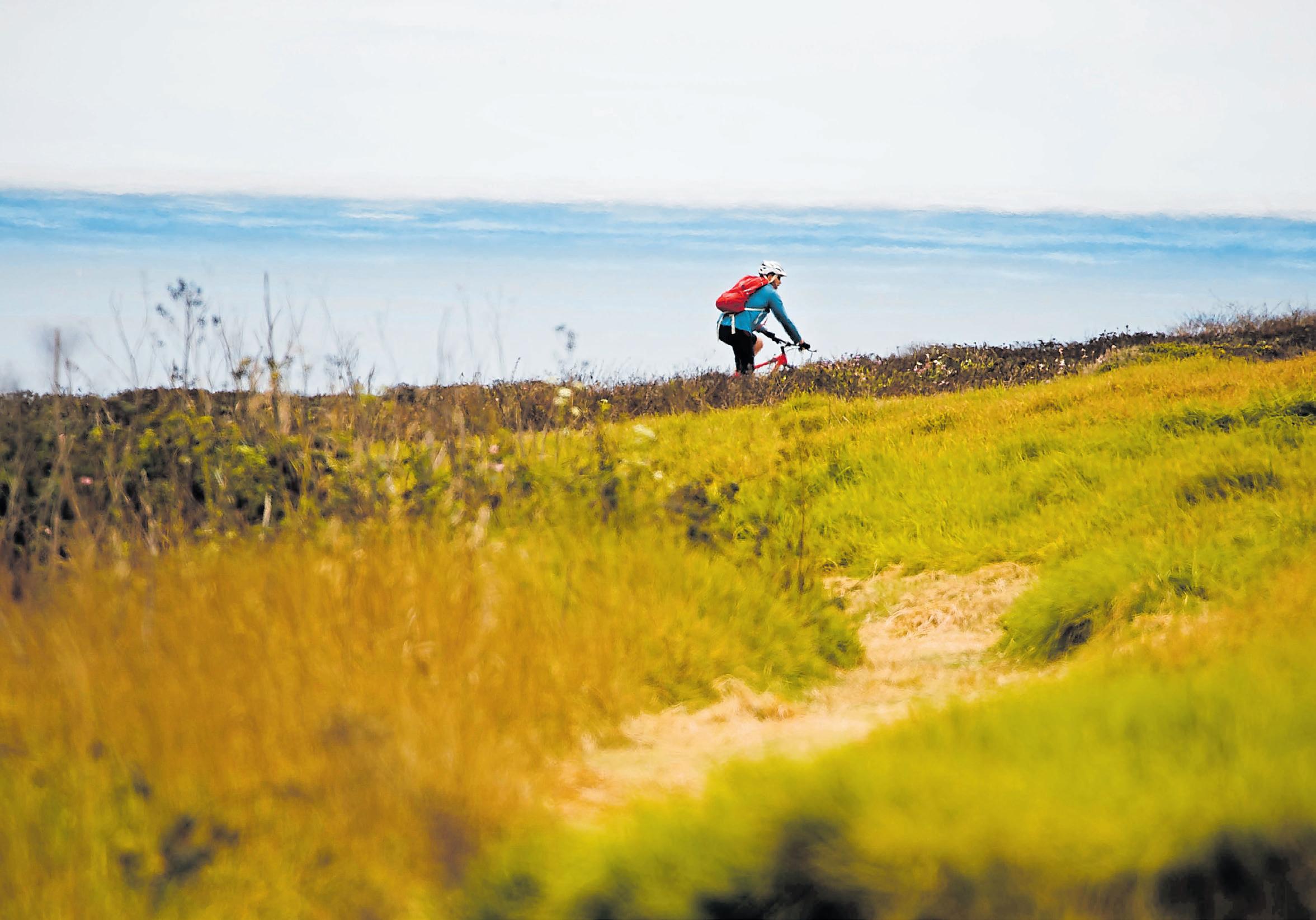
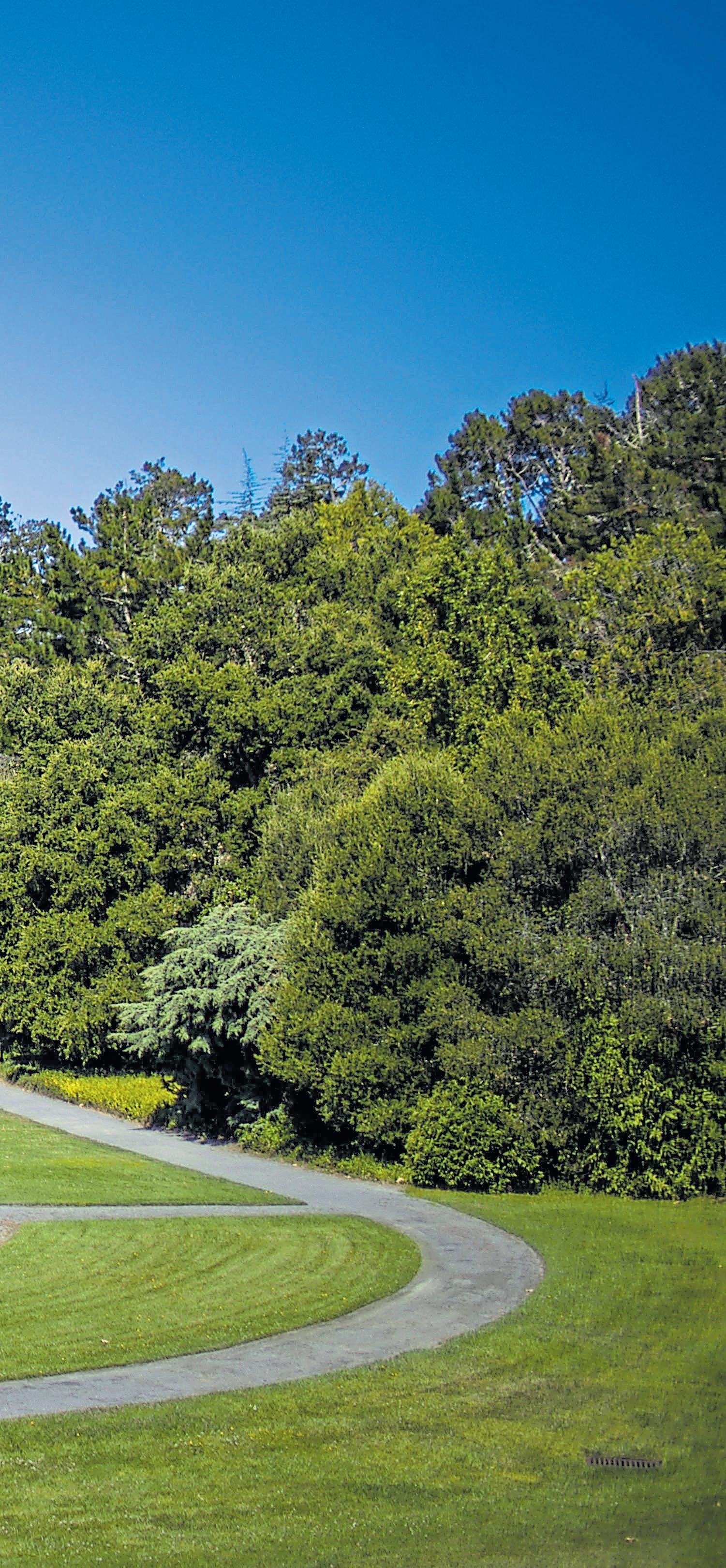
here Chinquapin Trail meets Eucalyptus Loop in Wilder Ranch State Park, gorgeous meadows roll down toward the Pacific Ocean and a skeleton grove of long-dead trees beloved by woodpeckers rises above one of California’s best picnic spots — complete with wooden tables.
The Santa Cruz-area park offers world-class travel by foot or bicycle through epic coastal landscapes and a fascinating, and, at times, troubling history.
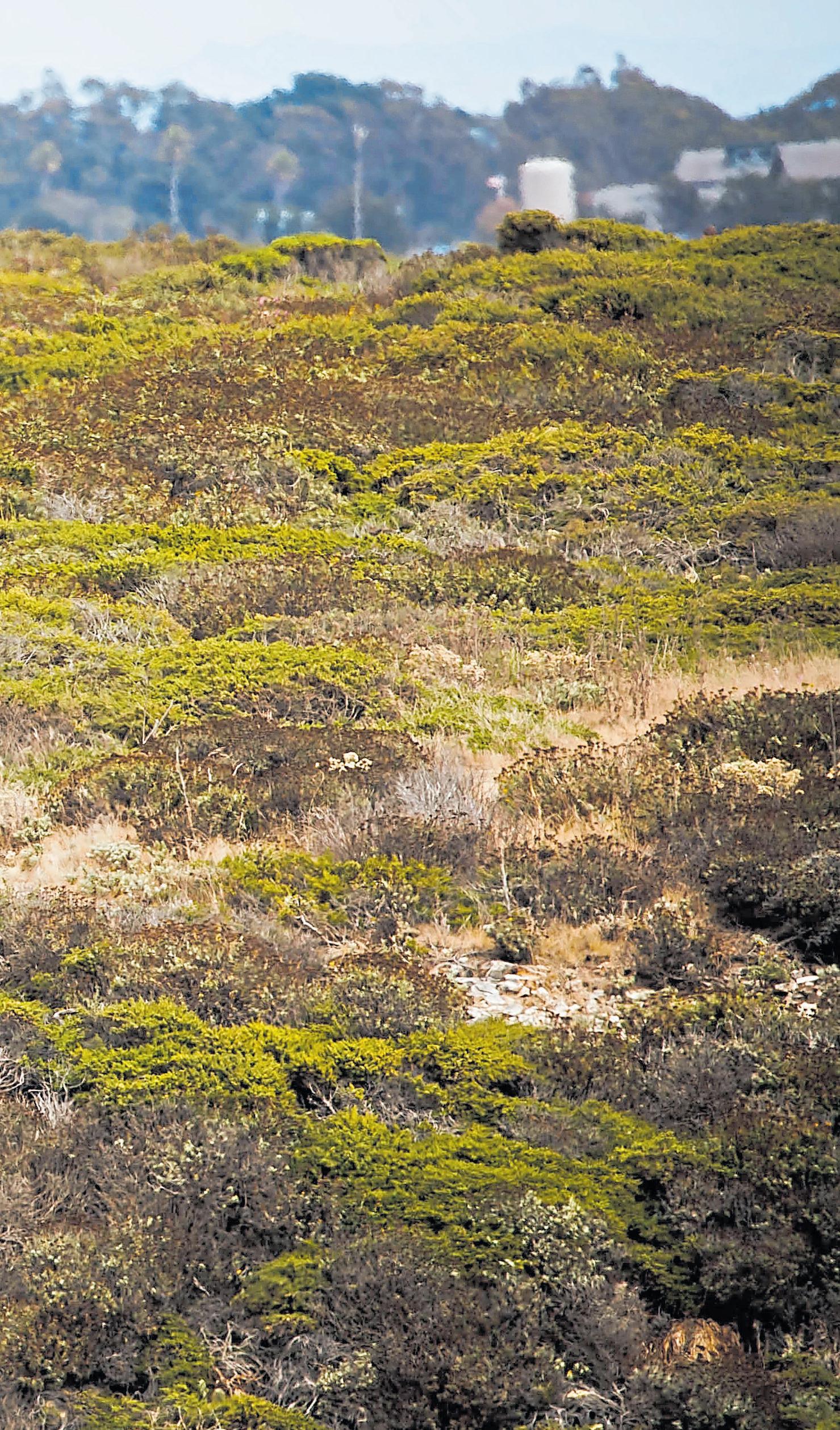
Follow the coastline for classic Northern California ocean vistas and hidden surprises. Hit the hillsides to wander through tall-grass meadows overlooking the Pacific’s golden glitter. Or, a little higher up, wind your way through shaded forests of redwood, ferns and Douglas fir and sun-dappled glades among the oaks. If you have the time and energy, mix them all together in one trip.
“Wilder is not your typical state park,” says Eric Henze, author of a 2015 guidebook to the park. “It is a gem that sparkles from every direction.”
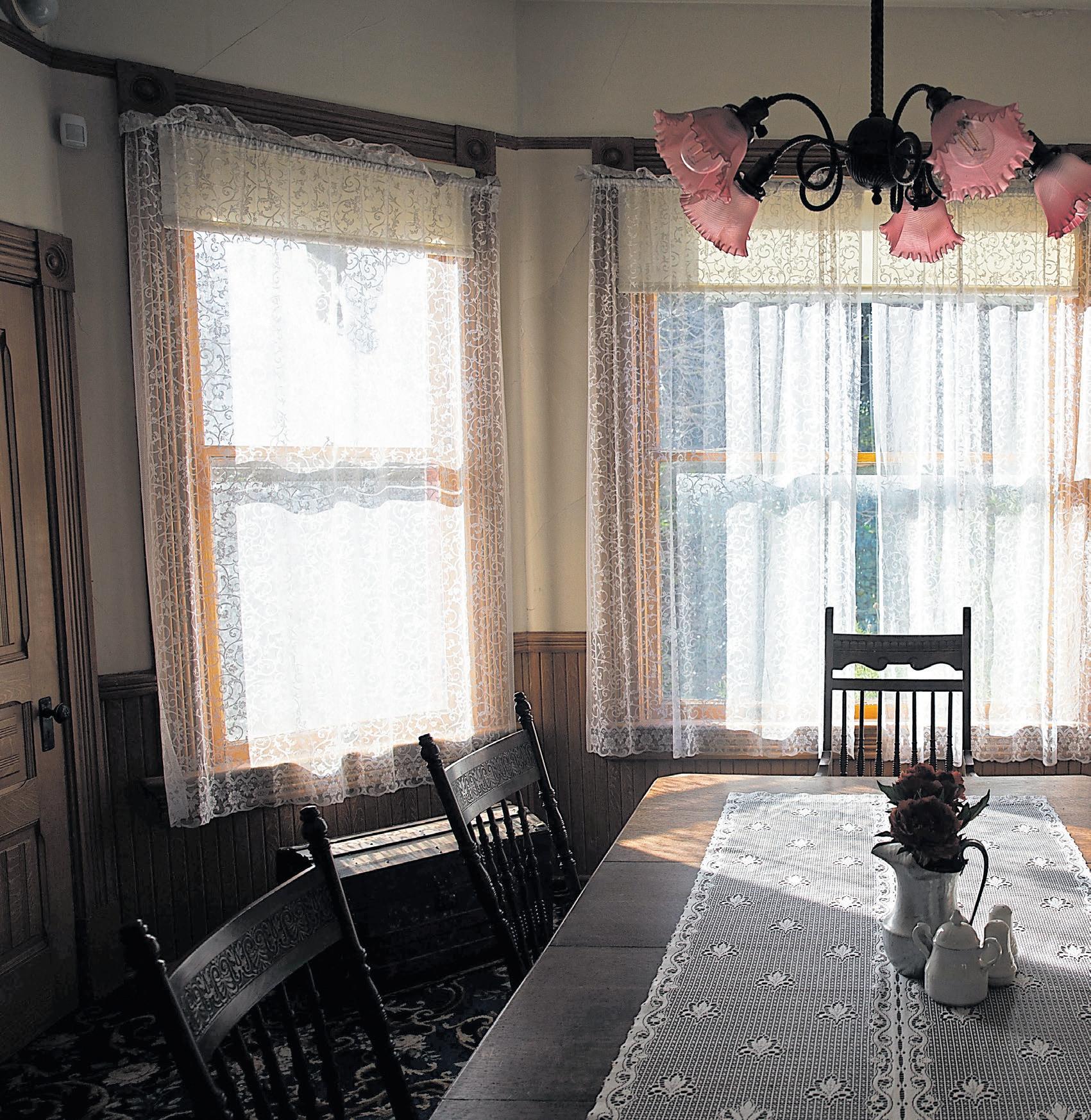
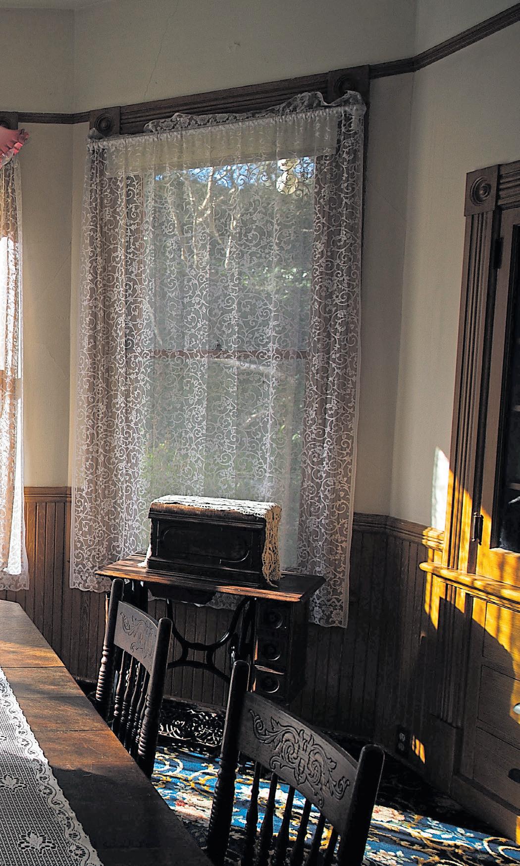
The park area’s human history goes back more than 10,000 years to the arrival of Indigenous people, through the cruelty and corruption of Spanish and Mexican colonization to dairy and beef ranching by generations of the Wilder family. Some scenes from that timeline still exist: the Victorian home that ranch founder Deloss Wilder built for his son, Melvin. The 1859 Gothic Revival farmhouse, where famed Western author Zane Grey used to gobble his grub as a ranch hand. And the red tile-roofed adobe that once belonged to a Russian-Mexican dairyman and colonial bureaucrat who allegedly ran a smuggling grift at a nearby beach.
RANDY VAZQUEZ/STAFF ARCHIVESGo further back, and the history fades, the lives and complex landscape cultivation of the Uypi tribe of Ohlone people mostly erased by colonization. Still, when you hike or bike in Wilder, you travel in their footsteps, on paths through meadow and forest trodden for millennia.
Several entry points and 35 miles of trails make it easy to pick a trip in Wilder Ranch that delivers never-ending beauty, historical discovery or heart-pumping exercise — or all three. You may spot deer and turkeys in the meadows or, if you’re lucky, a bobcat. Cottontail rabbits, quail and lizards scurry into poison oak and manzanita, hawks and turkey vultures flap and glide overhead. Aromatic bay trees scent the forest, where the squawks of Steller’s jays and shrieks of acorn woodpeckers resound. By the water, seals lounge on strangely contoured coastal shelves striped with the sediments of time and upended by the ultra-slow-motion collision of Earth’s tectonic plates.
The nonprofit Friends of Santa Cruz State Parks runs free guided coastal walks highlighting the flora, fauna and geology of the coastal bluffs, where millions of years of waves and tides have sculpted clefts, channels, arches and caves into the coast’s 20-million-year-old Santa Cruz Mudstone rock. Guided coastal bird-watching rambles, also free, provide a chance to see and learn about the hawks overhead, the wrens in the trailside scrub, the leggy oystercatchers poking their long red bills into tide pools and the cormorants and pelicans chasing fish.
Designation of the near-off-
Right: You can tour the Victorian home that Wilder Ranch founder Deloss Wilder built for his

shore and tidal-zone areas as a state marine reserve has helped make tide-pooling and marine-mammal viewing especially fruitful from the Wilder Ranch coastline — colorful sea anemones and sea stars reward visitors at low tide, and sea otters float offshore, smashing shellfish open on their chests. The park is one of the region’s best whale-watching locations, particularly for the annual migration of gray whales from December to April.
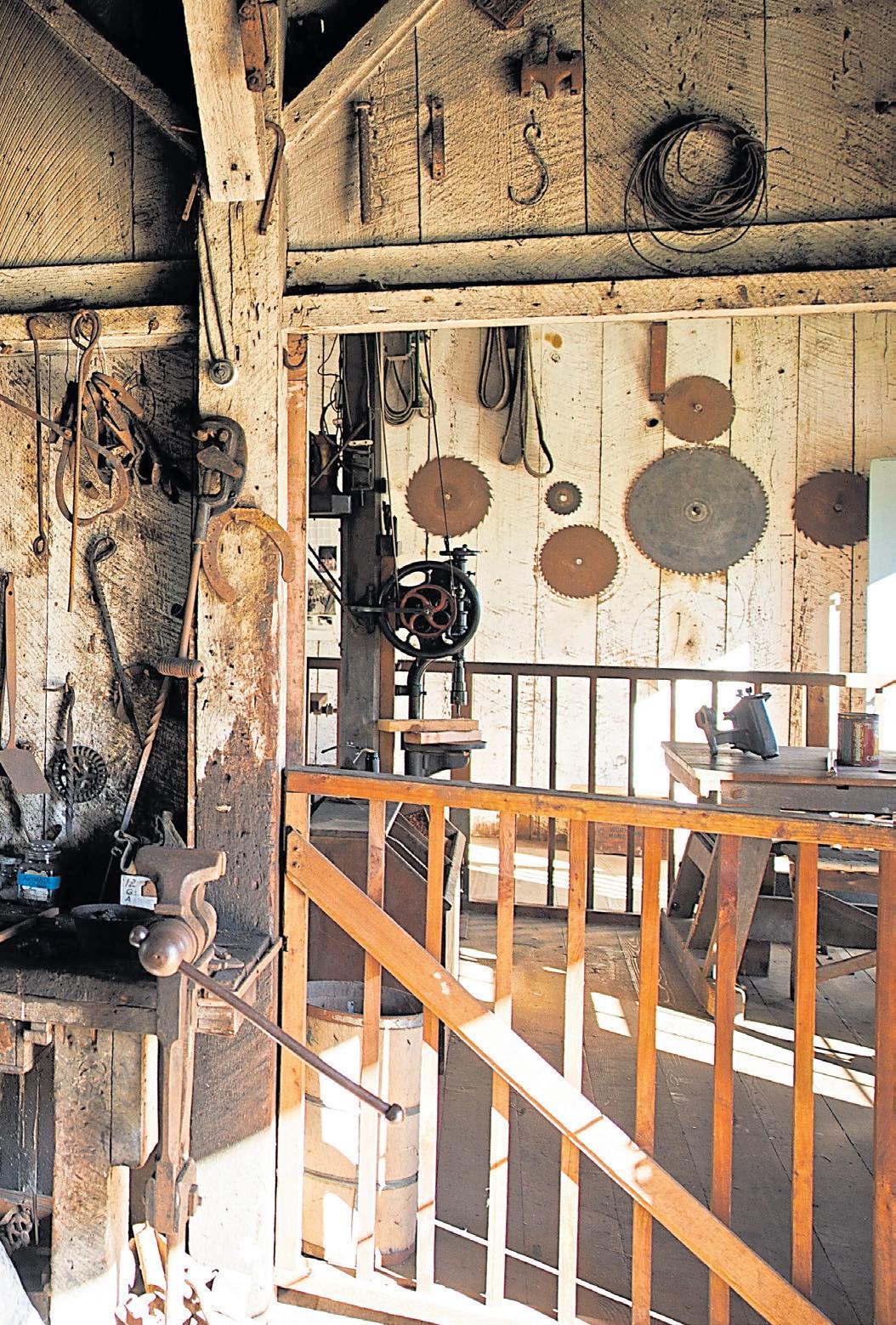
On weekends, free, hour-long tours of the ranch grounds — a complex of historic buildings in a shallow valley between the hills and ocean — bring to life the period more than a century ago, when the property was owned by inveterate tinkerer Deloss Wilder, known as D.D., who had come to California from Connecticut chasing Gold Rush riches and met with modest success. Tour highlights include D.D.’s 1896 water-powered machine shop and a large barn built without nails, where two rows of up to 100 cows faced each other and fed from a rail-mounted cart pulled down the middle by a farm worker. On the first Saturday of every month, the docents typically dress in period costume.
Long before the ranch was founded, before the Spanish came, the Uypi
had a village in the area now occupied by the ranch buildings plus seasonal camps on the shore and in the forest, evidence suggests. Their conical homes of tule reeds or redwood bark are long turned to dust, along with the Uypi and the other five Awaswas-speaking Ohlone tribes in the region, wiped out with no living ancestors. Faint traces of their lives can still be found — in blackened areas of earth where food was cooked or in scatterings and mounds of fragmented shells.
“Our people had been there a very long, long time,” says Valentin Lopez, chair of the Amah Mutsun Tribal Band of Ohlone. “This used to be one of the most biodiverse landscapes in North America, and it’s because of the way our ancestors managed and stewarded those lands. We had freshwater fish; we had saltwater fish. We had abundant wildlife. Our people took care of those resources.”
A common view of California’s Indigenous people as hunter-gatherers ignores their sophisticated ecosystem management, Lopez says. In the area that’s now a park, Uypi people hunted deer, elk and — with special arrows — birds. They speared and netted salmon and steelhead. Evidence suggests they made tule-reed boats and hunted and fished along

the ocean shore, says Martin Rizzo-Martinez, a California State Parks historian, tribal liaison and author of “We Are Not Animals: Indigenous Politics of Survival, Rebellion, and Reconstitution in Nineteenth-Century California,” published last year by University of Nebraska Press. The Uypi people gathered acorns, blackberries, abalone and many other foods. But they also collected and sowed seeds from plants used for food, medicine, clothing and intricate basketry, he says.
The Uypi conducted controlled burns to promote growth of some plants — like fire-dependent hazelnut — and deter growth of others, to enhance habitats for deer, elk and birds and boost their own food and medicine supplies. Uypi people restored salmon-spawning beds and stream entrances after storms, Lopez says.
The Catholic church’s establishment of Mission Santa Cruz in 1791 destroyed those ways of life and the carefully nurtured environment. Tribespeople were enticed and coerced into the Spanish mission, then enslaved. Grasslands became cattle pastures, disrupting Indigenous people’s food sources and sending them, hungry, into the arms of the mission’s padres. Measles, smallpox and tuberculosis ran rampant. A Native baby’s odds of survival into adulthood went from about a 75 percent chance to a 20 percent chance by moving to Mission Santa Cruz,” Rizzo-Martinez writes in his book.
At Wilder Ranch, an adobe building in the ranch complex testifies to the end of Spanish rule in 1821, following the Mexican-American War and the transition to a second colonial

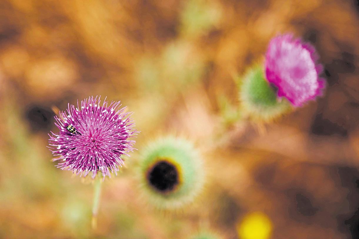
In the area that’s now a park, Uypi people hunted deer, elk and birds. They speared and netted salmon and steelhead.The vivid hues of a thistle attract pollinators at Wilder Ranch State Park. RANDY VAZQUEZ/STAFF ARCHIVES
system under Mexico. The tworoom structure belonged to Osip Volkov, a Russian who landed in Monterey, became a Mexican citizen, renamed himself Jose Antonio Bolcoff and was appointed mission administrator in 1822. Mexican policy dictated that the area that became the ranch was to return to the Ohlone, but Bolcoff ended up with a deed to much of it, running a sawmill and dairy. The building was almost certainly built by Indigenous people, and it appears Bolcoff stole its terra cotta roof tiles from the mission, Rizzo-Martinez says.
Historical lore indicates Bolcoff ran a side hustle along the coast at a spot in the park known today as Sand Plant Beach, where he helped traders skirt Mexico’s import taxes into the Monterey Bay area. “For a small fee, Bolcoff would allow smugglers to bring in their goods via rowboats up the creek under cover of darkness,” Henze writes in “The Complete Guide to Wilder Ranch State Park.”
Bolcoff fell into debt and lost the property in 1854 to his creditor, Moses Meder, who built the Gothic Revival farmhouse. Deloss Wilder and his dairyman partner, Levi Baldwin, from Marin, bought the property in 1871.
By the 1950s, four generations of Wilders later, Santa Cruz County officials coveted the ranch for housing and rezoned it, imposing a tax burden that forced the family to sell. The buyer, an investment firm, planned to build thousands of homes and a shopping center. But in the face of public outrage over the plan, the state bought the land for a park in 1974.
“This, in effect, is part of what makes Wilder great,” Henze says, “It could have been a huge subdivision, with all of its history wiped away, and it wasn’t.”
Historic grounds: Take a one-hour guided exploration of the ranch’s waterpowered machine shop (where the drill press and lathe still function), horse and cow barns, farmhouse (ask to hear the player piano) and 1897 Queen Anne Victorian home (say hello to goats, cows and chickens of the same breeds kept by the Wilders)
Guided coastal walk: This 2½-mile, 2½-hour ramble takes visitors along the ocean bluffs.
Guided coastal birdwatching walk: A 3-hour, 2½-mile trip includes many stops for viewing birds, plants, and scenery.
Get tour information and book your spot at https://santacruzstateparks.as.me/ schedule.php.
Fern Grotto: Follow Old Cove Landing Trail from the parking lot to the Ohlone Bluff Trail. At marker post 8, drop down to Fern Grotto, an otherworldly sea cave with an entrance overhung by ferns, a little over a mile from the parking lot.
Enchanted redwoods: Go up Wilder Ridge Loop from the ranch complex — after the first climb, look out for the pond created to provide water for Deloss Wilder’s hydro-powered shop — to Enchanted Loop, to wander through the redwoods on an eight-mile trip.
Eucalyptus picnic spot: Descend Chinquapin Trail, from Empire Grade 2.3 miles up from UC Santa Cruz’s west entrance, to the stunning picnic spot at Eucalyptus Loop, a little over a mile from Empire Grade.
From Santa Cruz: Take Mission Street to Highway 1 North, go 1.7 miles past the Western Drive stoplight, turn left for the Wilder Ranch State Park parking lot. ($10 per vehicle)
From the north: Eight miles down Highway 1 from Davenport, turn right to access the parking lot.
Alternative access points: Baldwin Loop trailhead beside the highway 1.7 miles up the coast from the parking lot; or up Empire Grade 2.3 miles past the west entrance to UC Santa Cruz, parking near where Chinquapin Trail meets the road.
Find details, trail maps and more at www.parks.ca.gov.
For picnic provisions, stop at New Leaf, a natural-foods store in Santa Cruz, for a custom sandwich or grab-and-go sushi, snacks and treats. The market is open from 7 a.m. to 9 p.m. daily at 1101 Fair Ave. on Santa Cruz’s Westside; www. newleaf.com.
After your park visit, park yourself on the patio or in the taproom at Santa Cruz Mountains-born Humble Sea Brewing Company and avail yourself of local lagers and IPAs, along with meat, vegetable and vegan empanadas and — barring rain — dishes from a rotating cast of food trucks: Humble Sea opens at 11 a.m. daily at 820 Swift St.; https://humblesea.com.

They called it an engineering marvel, and it was, even by today’s standards. The aqueduct project to bring fresh water 160 miles — from the Sierra Nevada’s Hetch Hetchy Valley to the Bay Area — took 24 years to build and cost $102 million and the lives of dozens of construction workers.
On Oct. 28, 1934, crowds from San Francisco gathered on the Peninsula to see and hear the first bursts of mountain water. “With vivid memories of the fire that had raged unchecked after the Great Earthquake of 1906, the city rejoiced in its new secure, plentiful supply of high-quality drinking water,” the S.F. Water Co. website says of the public response.
Originally a wooden temple marked the spot where the water flowed into Crystal Springs Reservoir. A few years later, it was replaced by a stone temple nearby, designed in the Beaux Arts style, that featured Greco-Roman architectural elements from centuries before. Corinthian columns. Landscaped grounds. A reflecting pool. It’s a vision straight out of a Maxfield Parrish painting — and a romantic spot for picnics or contemplation.
Across the bay, there’s a similar monument, the Sunol Water Temple, built in 1910 and also a striking Beaux Arts design with Corinthian columns.
Ironically, “temple” was a word naturalist John Muir used during his years-long battle against the damming of Hetch Hetchy, a sister valley to Yosemite. He called it “a grand landscape garden, one of nature’s rarest and most precious mountain temples.” The controversy continues to this day — should Hetch Hetchy be returned to its natural state? — making Pulgas a perfect spot for a “what if” discussion among you conservationists and history buffs while you picnic.
The picnic: Stop at a Redwood City delicatessen — Prima Deli, which is open daily on Roosevelt Avenue, or Taza Deli & Cafe, weekdays only, on Broadway — to pick up sandwiches and sides. Or head to Woodside for the Village Bakery’s farmers market salads and a loaf of artisan bread.
The details: The temple grounds and parking lot — 56 Cañada Road, Redwood City — are open on weekdays from 9 a.m. to 4 p.m. (except federal holidays). On weekends, there is access for pedestrians, bikers and hikers during those same hours, but the parking lot is closed. Want to hold your wedding at this scenic spot? Find information here: https:// sfpuc.org/learning/come-visit/ pulgas-water-temple.
Extras: Since you’re less than a mile from the Filoli Estate & Gardens, it would be a shame not to make this trip a two-fer. Something’s always blooming at this 654-ace Historic Trust property. In springtime, the thousands of daffodils and tulips are stunning. During summer, 150 different rose varieties bloom. Check https:// filoli.org for seminars and special events, and if you have kids with you, download the Family Activity Guide, which includes a five-senses scavenger hunt.
 BY JACKIE BURRELL
The Bay Area boasts picnic destinations of every variety, from rustic wooden tables on a lawn to casual perches at the playground. But some sites are so stunning, they’re almost otherworldly. Although in the case of Golden Gate Park’s westernmost tip, other-Old-World-ly might be the better term.
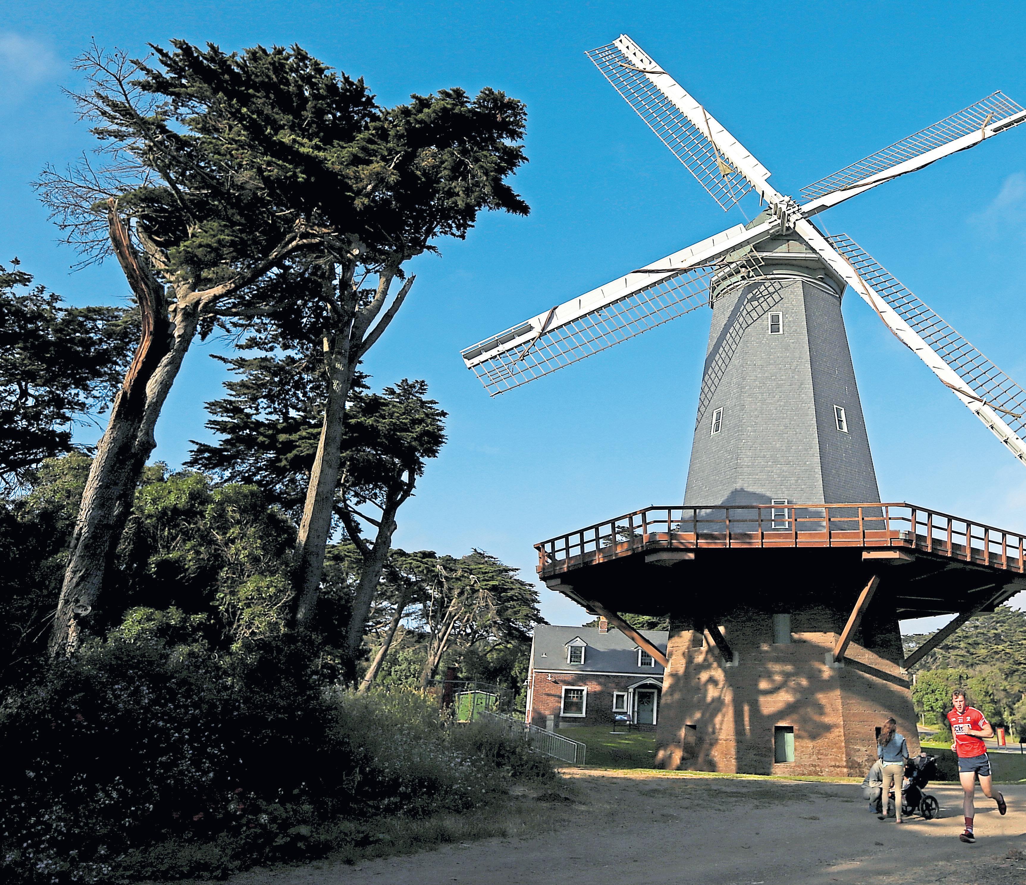
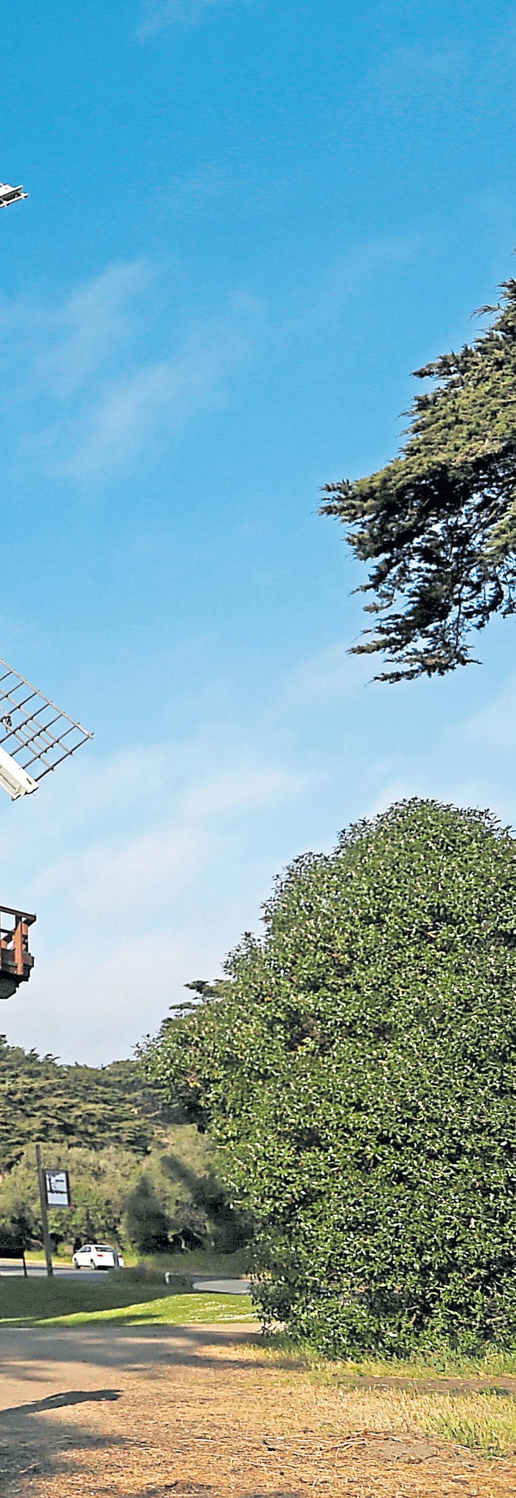
At the end of San Francisco’s famous 1,017-acre park, out near the Park and Beach Chalets, you’ll find an oasis of blooming tulips, rolling lawns and two towering, century-old windmills. They’re not just the stuff of postcards, either. At the turn of the 20th century, windmills were a practical solution to a very expensive problem.
This end of San Francisco was once a windswept sea of sand dunes — dubbed Outside Lands — so when the city began building its big park, it negotiated a deal with the Spring Valley Water company for free H2O to irrigate and transform the sandy terra firma into lush landscape. The deal was short-lived. By 1890, the city was paying $1,000 per month for that water — nearly $33,000 in today’s dollars. So park superintendent John McLaren and sugar baron and philanthropist Adolph Spreckels came up with a plan to pump water from an aquifer 200 feet below the park.
Built in 1902, the park’s Dutch Windmill with its giant sails was soon paying for itself. With the completion of the Murphy Windmill in 1907, the two windmills were soon generating enough water — 1.5 million gallons per day — to not only irrigate the massive park, but sell surplus water to neighbors. With the rise of electrical pumps, the windmills were eventually shuttered in the 1930s, their sails and sheathing battered by years of ocean gusts and wind-blown sand.
Today, they’re beloved as restored local landmarks — and the Queen Wilhelmina Tulip Garden at the base of the Dutch Windmill is a beautiful spot for a picnic or stroll, especially in March and April, when those colorful blooms are at their peak.
The picnic: Pick up lobster rolls, salads or chowder at the nearby Park or Beach Chalet, then spread a blanket on the lawn. Or hit up Trader Joe’s for bread, cheese — Gouda, of course — and stroopwafels and go full Dutch.
The details: The gardens and grounds of the Dutch Windmill (1691 John F. Kennedy Drive) and Murphy Windmill (Martin Luther King Jr. Drive near Lincoln Way) are open daily; https://sfrecpark.org/770/ GoldenGate-Park.
Extras: Time it right — on King’s Day or a Saturday with Goldilocks conditions, when it’s not too breezy and not too still — and you may glimpse the windmill sails turning. King’s Day is held on April 27 in the Netherlands each year to celebrate the birthday of King WillemAlexander. San Francisco’s Dutch community joins in the celebration, typically on the following Saturday, with festivities at Golden Gate Park, including a windmill-to-windmill bike ride, children’s games and Dutch beer and food carts, where you can get your stroopwafel and poffertjes fix. You’ll want to wear orange. Find details on this year’s fun at https://sforanjecomite.com/.

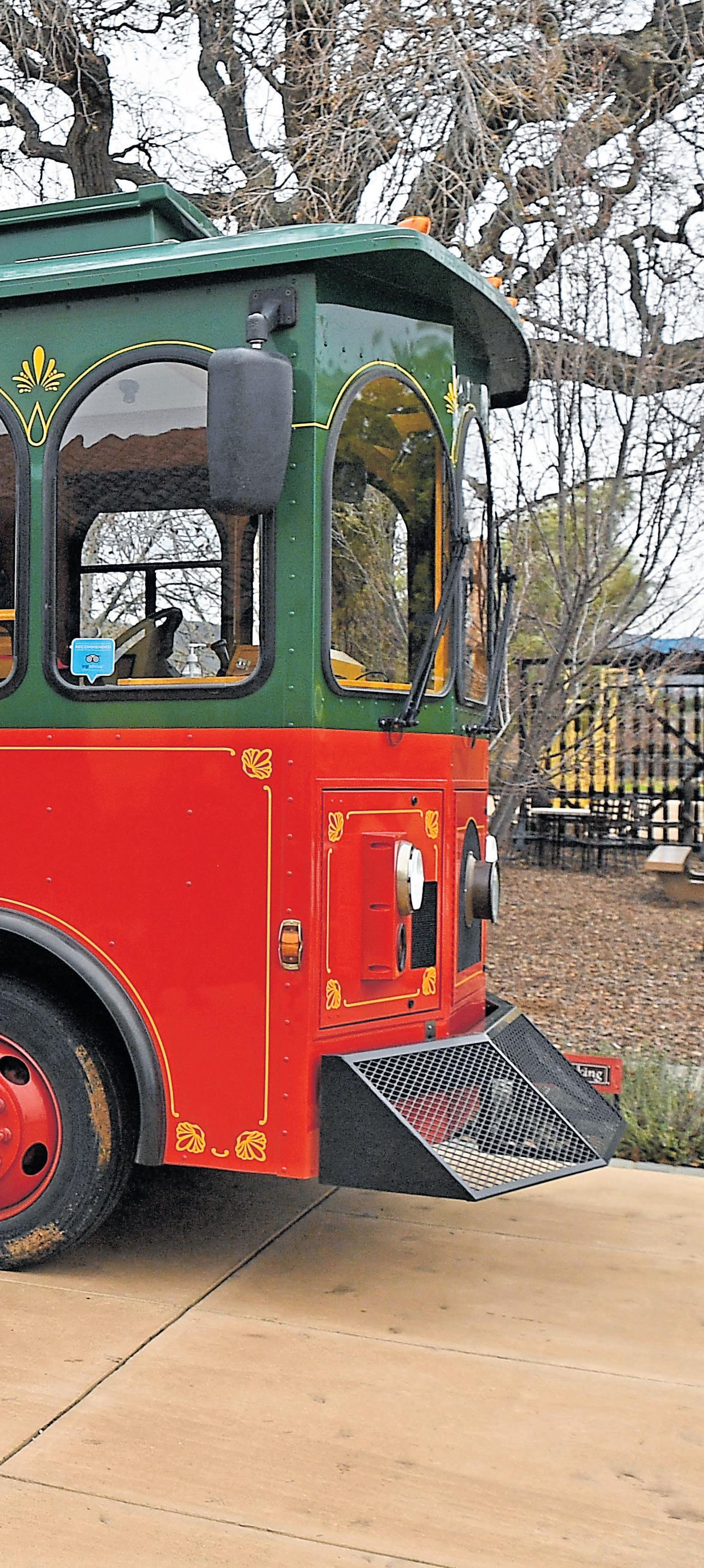
Who knew an outdoor food and wine tasting assignment would involve singing Tupac and Lou Bega songs with a gaggle of new friends?
But there I was, aboard the heated, vintage-style Livermore Wine Trolley, chanting “California Love” as it boomed in time with the trolley’s LED lights and bonding over breakups with a 30-something from Danville. We’d just departed Las Positas Vineyards, an award-winning winery on Wetmore Road, where we tasted a flight of five delectable wines paired with nibbles curated by the winery’s executive chef.
(In warm weather, many wineries offer tastings on the patio, making this an outdoor adventure of the most civilized variety — but on this very wintry Sunday, we’re grateful to be indoors!)
The $149-tour, which includes three winery stops and a designated driver, Fernando, who had the presence and panache you’d expect from
a former San Francisco 49ers announcer, offers a fresh, deepdive into a wine-growing region many Bay Area locals take for granted. I live 35 minutes from this historic valley and feel I know it well. I’m regularly in town to interview a winemaker, pick up a bottle, judge a wine competition. Heck, I got married at a Livermore winery.
But even for me, a progressive tasting of 14 wines from three different estates, including the landmark Concannon Vineyard, allows one to sit back and get reacquainted with Livermore Valley’s terroir. It also showed me how far the wines have come, especially after sampling newer varietals being grown in this valley, including verdelho and cabernet franc.
We started this particular chilly
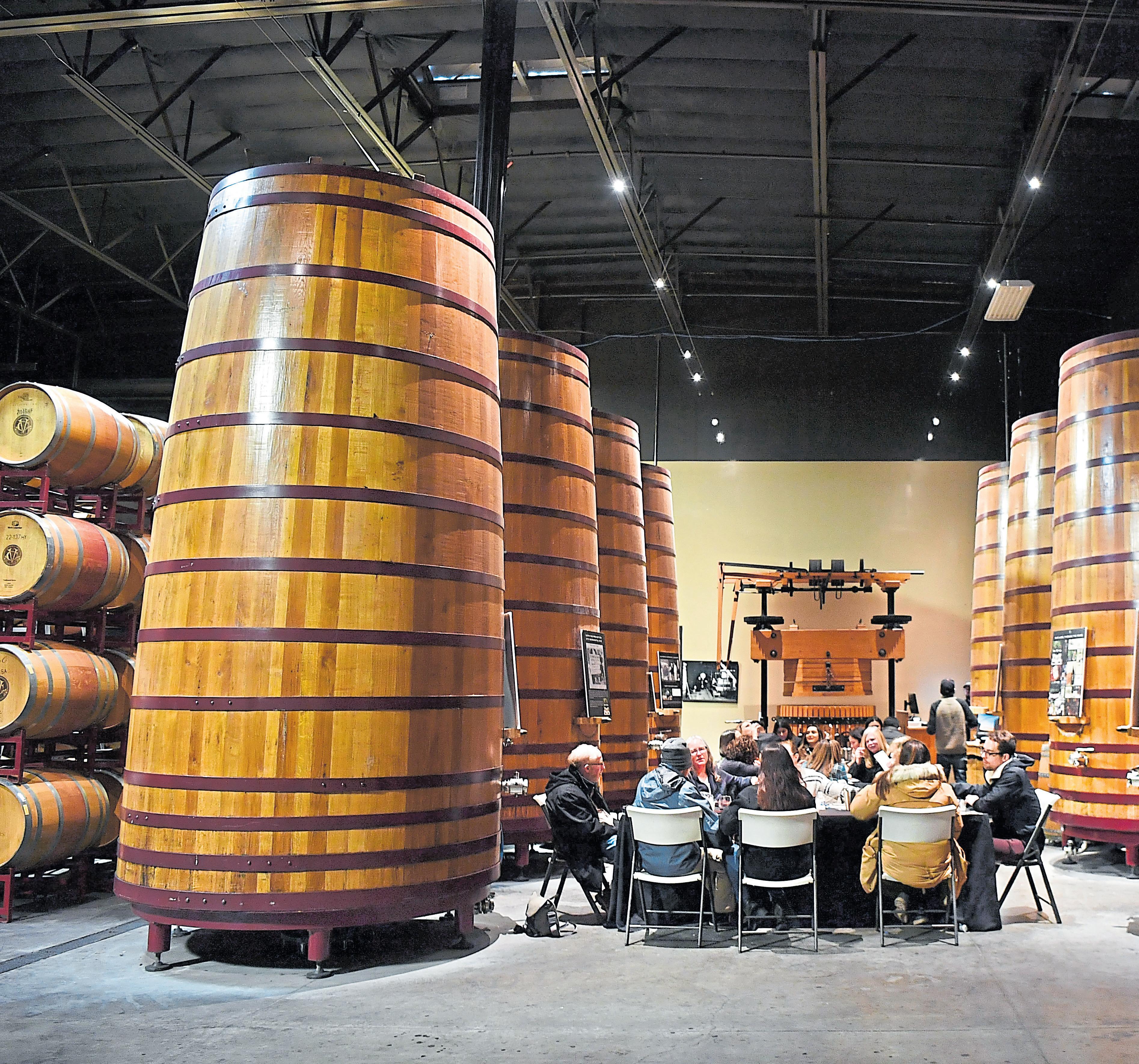
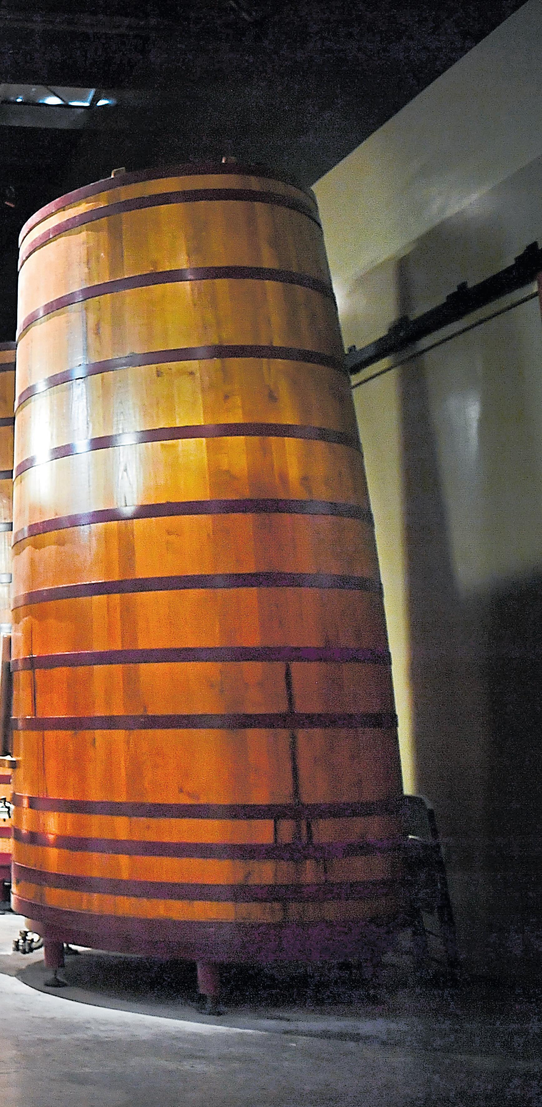
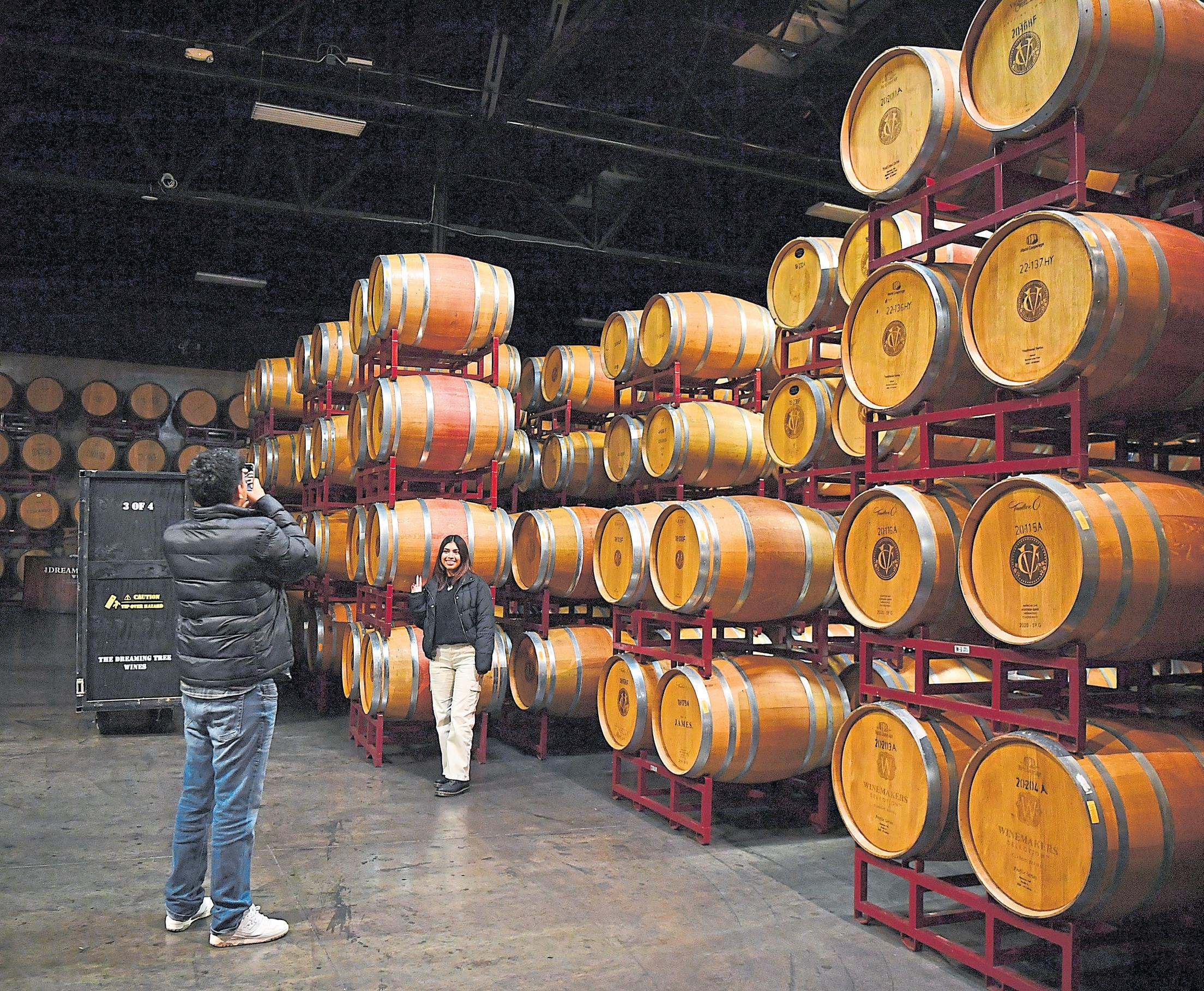
Left: Towering French oak barrels set the scene for a tasting and food pairing in Concannon’s massive warehouse barrel room.
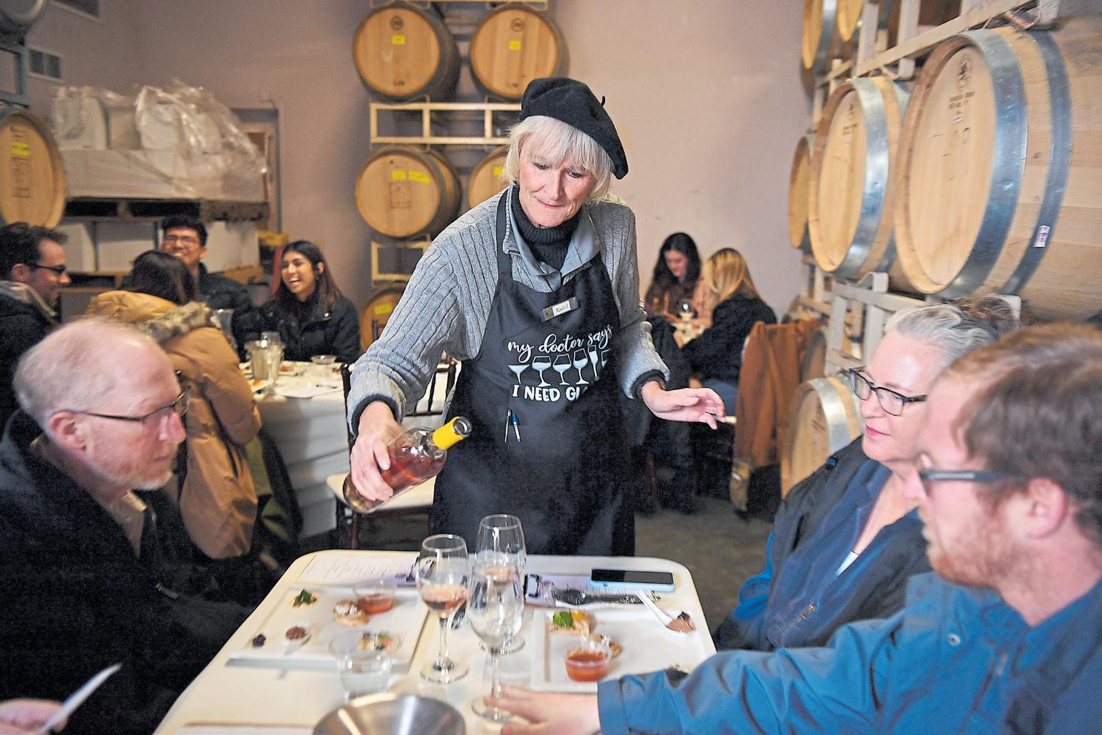
Above: Assistant manager Martel Marshall leads a tasting at Garré Vineyard and Winery.
day huddled among the forklifts and stainless steel tanks at Garré Vineyard & Winery, a family-owned winery on Tesla Road. The winter rains had turned the hills from golden brown to moss green, and morning fog still hung above the winery’s estate vineyards.
As we sipped glasses of off-dry sparkling, Garré guide Martel Marshall explained how ownerwinemaker Bob Molinaro grew up in San Francisco watching his Italian dad and uncles make red wine from grapes hauled in from Napa Valley. He started the winery in the 1990s as a tribute to that legacy. Perhaps that planted a seed, but the soft, plummy sangiovese and estate-grown primitivo were definitely singing during our tasting. Then again, so were we.
It was the most formal of the three tasting experiences that day. Inside the winery’s cozy barrel room, my trolley mates and I sat four to a table and were asked not to skip ahead in the lineup of five wines and accompanying two-bite nibbles. We were just getting to know each other, and the teacherlike vibe elicited shared giggles over sips of a spicy, impressive 2016 syrah.
Martel did a fine job explaining each varietal’s character and encouraging us to go back and try different wines with the tomato basil soup, grilled vegetable flatbread and other foods. “Don’t let us tell you what to think,” she said. “Find out what you like.”
The ding-ding of the trolley told us it was time to move on. Martel, who gave us a 10 percent discount on Garre’s already wellpriced ($30-$35) wines, kindly offered to hold our bottles until we returned at the end of the tour.
As we took our seats, Fernando prepped us on the next winery, Las Positas Vineyards, just five miles east. Owned by Lisa and Lothar Maier, the Las Positas estate is planted to 17 acres of vines, including barbera, merlot, tempranillo, verdelho, chardonnay and mourvedre. The winery recently unveiled a new full-service lounge, where chef Curt Pipes offers seasonal flatbreads and other wine-friendly nibbles. They also have live music.
For our visit, he prepared individual platters of red pepper hummus, crudites and a proprietary olive blend made with dried chiles grown in Livermore. A tower of five wines greeted each of us as we took our seats inside a homey private room. We loved this tasting. Not only were the wines stellar, but the format was relaxed.
“This is how the winemaker (Brent Amos) and I like to taste,” he said. “Go at your own pace, switch up the order and have fun.”

An attendant, Sebastian, was there to answer any questions we had but otherwise let us explore, compare notes and, most impor-

tantly, continue our very important shoulder-shimmying and riveting trolley conversations.
By the time we arrived at Concannon Vineyards, we’d reined in our irreverence, as befits this iconic, 138-year-old winery. The tasting, held inside the massive warehouse barrel room at tables flanked by towering French oak barrels, consisted of four prestigious wines, including the legendary 2018 Reserve Cabernet Sauvignon Mother Vine.
This wine, with its bold raspberry notes and silky-smooth tannins, was the star of the day. And hearing the Concannon story again, inside the dimly lit barrel room, served as a reminder of Livermore’s legacy.
As the story goes, founder James Concannon imported cabernet vines from Bordeaux’s Chateaux Margaux when he started the winery. He became one of the first winemakers in the state to make cabernet sauvignon. And in 1965, his grandson, Jim, worked with UC Davis to develop virus-resistant vines, called clones 7, 8 and 11, to keep the legacy alive. Today, an estimated 80 percent of all California cabernet sauvignon comes from these Concannon Clones.
We pondered this as we boarded the trolley heading back to Garré, sang our hearts out to Lou Bega’s “Mambo No. 5 (A Little Bit Of...) — one fellow rider danced in the trolley aisle — and hugged our new friends goodbye.
Livermore Wine Trolley tour driver
Fernando Aras takes a photo of passengers at Las Positas Vineyards in Livermore.

Livermore Wine Trolley: The Sip and Savor Wine Pairing Tour is $149 a person and offered at 11 or 11:30 a.m. Saturday-Sunday. The tour lasts four hours. Food, tastings and transportation are included. Reservations required; www.livermorewinetrolley.com
Garré Vineyard & Winery: Opens at 11 a.m. Thursday-Sunday, with appointmentonly tastings available Wednesdays at 7986 Tesla Road, Livermore; www. garrewinery.com.
Los Positas Vineyards: Opens at 1 p.m. Friday and noon on weekends at 1828 Wetmore Road, Livermore. Reservations required; www.laspositasvineyards.com
Concannon Vineyards: Opens 11:30 a.m. Thursday-Monday at 4590 Tesla Road, Livermore. Walk-ins welcome at the bar. Seated tastings require reservations; www. concannonvineyard.com
The perfect picnic
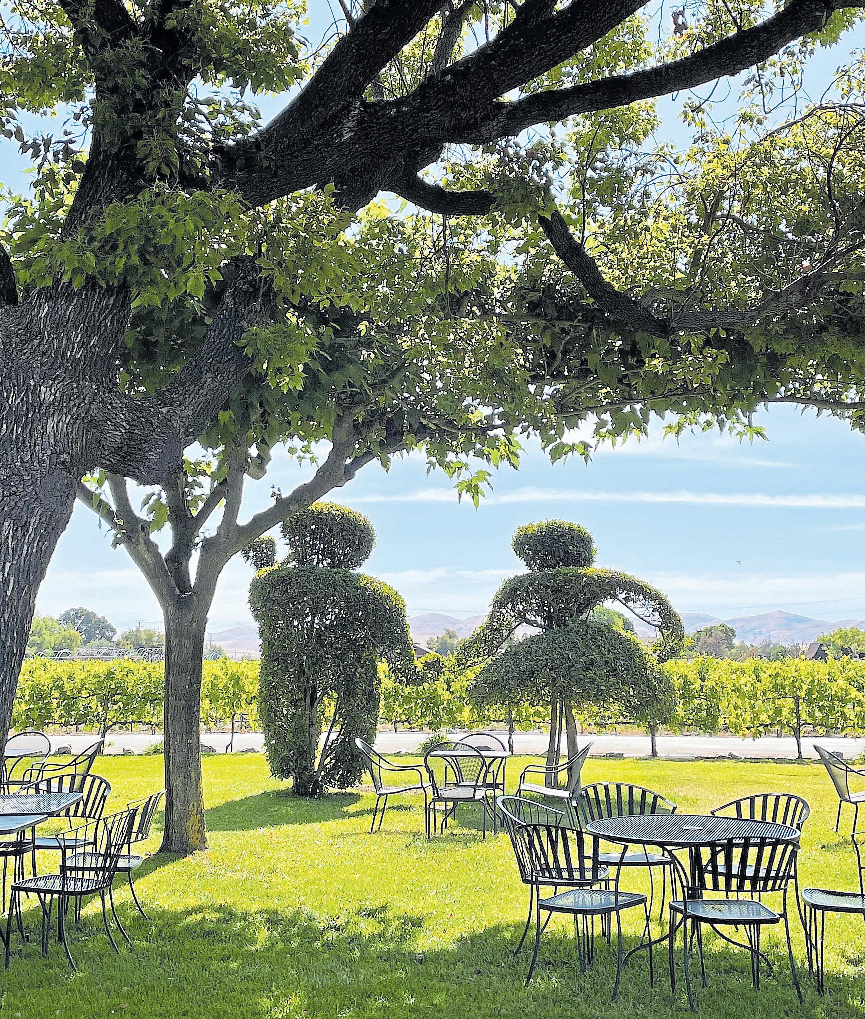 The groundskeeping team at Concannon Vineyard has a knack for whimsical topiaries in the shapes of animals and sometimes, people.
HARRISON MILLER
Northern California has no shortage of picturesque wine country destinations where you can unfurl a blanket and plant your picnic basket. But few have as much trailblazing historical significance as the 210-acre Concannon Vineyard property in Livermore Valley.
As the famed story goes, Irishman James Concannon founded the winery in 1883 — it is one of the oldest continuously operating family-owned wineries in the country — after immigrating to the United States and settling in the Livermore Valley, where he noticed a striking similarity to the terroir of France’s Bordeaux vineyards. He planted cuttings from Châteaux Margaux, and his son, Joe, kept the family business going through Prohibition by making and selling sacramental wine.
Future generations made their marks, too. Jim Concannon, grandson of James, was the first to bottle petit sirah on its own — a single varietal wine that put Livermore on the map — and played a significant role in the development of California cabernet sauvignon. Today, an estimated 80 percent of the state’s cab is planted to Concannon clones created from those early cuttings.
For picnics, try a table under the grape arbor dripping with tokai table grape vines or a perch on the dog-friendly lawn pavilion, where fruitless mulberry trees have been trained into arches to provide shade in summer. They’re
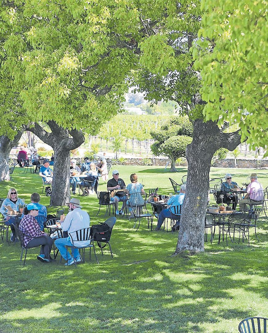
The picnic: Concannon sells cheeses, charcuterie, olives, nuts, gourmet crackers and other nibbles in its tasting room. Or you can grab deli sandwiches at Wingen Bakery or the Livermore Butcher Shop on your way into town. Outside food is allowed on the lawn and under the grape arbor.
The details: Concannon Vineyard opens at 11:30 a.m. Thursday-Monday at 4590 Tesla Road in Livermore; www.concannonvineyard.com.
Extras: Book a tasting at the bar or inside the estate room or the historic wine library to experience Concannon’s vast portfolio of wines, including award-winning cabernet sauvignon, chardonnay, petit sirah and malbec. Make reservations for a tasting ($30 and up) at www.concannonvineyard. com/visit/experiences/. Plan ahead, and you can time your visit for Livermore Valley’s Barrel Tasting Weekend on March 18-19. Find more events at www.lvwine. org/events.
the best spots from which to take in the property’s five estate vineyards, which are planted to a whopping 14 varietals. An 1895 white Victorian house is within view, and the tasting room is just across the lawn. Don’t miss the property’s stunning landscaping, including the whimsical topiaries fashioned into the shapes of animals and, sometimes, people.

 STORY BY JOHN METCALFE, MARTHA ROSS AND JIM HARRINGTON ILLUSTRATION BY JUI ISHIDA
Ten years ago, Kurt Schwabe was walking his dog in Marin, when he came across a sign for the San Francisco Bay Trail. So he went home and Googled it.
“I wanted a project, one that would mean something,” says Schwabe, a marketing manager in San Francisco, who was unemployed at the time. “I had just finished reading Cheryl Strayed’s book ‘Wild,’ where she (wrote about doing) the whole Pacific Crest Trail. This seemed like something that was more manageable.”
Schwabe decided he would hike the Bay Trail. And he did — over the course of 30 consecutive days. He headed out early each morning to walk the shorelines of the San Francisco and San Pablo bays and returned home at night on public transportation to reduce his carbon footprint.
“I was always totally in the moment, not thinking about yesterday or tomorrow or even five minutes ahead,” he recalls. “I ended up noticing things I otherwise would have missed, like an owl and her owlet in a tree in Coyote Hills or a deer several yards down a steep, tree-studded hillside nestled in a thicket with her fawn. When I finished the trek, I was in a great space mentally.”
Schwabe is one of the rare few who can claim to have explored the near-entirety of the Bay Trail, which measures more than 350 miles from San Jose up to Marin and Napa down to the East Bay. Along the way, it skirts the waterline from Crockett and Rodeo to Emeryville, Fremont, Mountain View and more. Future adventurers will have a bit farther to explore.
When it’s eventually completed, the trail will mirror the Proclaimers song and allow people to walk (or bike) 500 miles through nine counties, 47 cities, more
than 130 parks and seven toll bridges.
The trail beckons you to places you might never otherwise experience. There are moody wetlands bristling with pickleweed, rocky cliffs cloaked in updrafts of iridescent sea spray, habitats for Pacific harbor seals and elusive, gem-colored garter snakes. History lovers can appreciate its grand World War II battleships and Chinese fishing settlements, while urban nerds might monitor operations at major airports and shipping yards and stand atop the Golden Gate Bridge itself.
All together, the trail’s an impressive human
achievement — though early on, the idea may have seemed insane.
“When Western settlers came in during the Gold Rush and afterward, they primarily saw the Bay as this bug-infested swampland they wanted to stay away from. It’s where they established industry and was essentially a trash dump to move not-so-nice activities away from where cities were being built,” says Lee Huo, a senior planner at the Metropolitan Transportation Commission, which coordinates the development of the trail.
This ideology began to change in the 1960s. “A bunch of activists in Berkeley who helped create Save the Bay — which still exists as a nonprofit — essentially said, ‘Wait a second. The Bay is this resource, this jewel we all live around. It’s why we came here in the first place, and we shouldn’t be looking at it as a place to build on.’”
They pressured state legislators to create the 1965 McAteer-Petris Act, which essentially dictated that the shoreline belongs to everybody and shouldn’t be filled unless necessary. That was followed in the 1980s by Senate Bill 100, calling for a bicycling-and-hiking path circling the perimeter of the bays, meant for public recreation and for linking communities together.
From there came the 1989 plan for the Bay Trail, which at that point, measured about 120 miles. Its significant growth over the past three decades has come in two primary ways: when public agencies take the initiative to
install new stretches or when developers are obliged to build sections in order to get permits.
There’s always work being done on the trail’s spine. But there are also smaller connections growing through new communities, making the whole thing more rich and comprehensive. The slow and piecemeal linkage is traced out in a massive, cross-governmental spreadsheet with entries like, “Burlingame — Slough crossing near gas station,” “Tiburon — access to Blackie’s Pasture,” “Mountain View — Stevens Creek Trail” and “Proposed — Bay Bridge West Span.”
So what’s the best way to experience this ever-evolving wonder?
“Here’s what I would do,” says Schwabe. “I would look at a map of the Bay Area and find an area you’re totally unfamiliar with, maybe Pinole or Alviso or even West Oakland, and I would go there. I would walk around and learn something new about the cultures and what we have to offer out there.”
Carry plenty of water and snacks and perhaps an official set of Bay Trail map cards sold by retailers such as San Francisco’s Museum of Craft and Design as well as the mtc.ca.gov site (just search “map cards”). And if you plan to go hardcore like Schwabe did, consider your choice of footwear wisely.
“I started out with my running shoes and then about halfway through, my arches were ready to collapse,” he says. “I thought, ‘My god, I’m severely injured!’ and re-
alized I’d been walking 150 miles with no support. So I switched to North Face hiking boots and, with no injury, was able to finish it off.” Here are 10 of our favorite stretches along the Bay Trail, plus tips on where to grab a bite afterward.
FREMONT
It’s easy to momentarily lose your sense of time or even place on the Bay View Trail in Fremont’s Coyote Hills Regional Park. After January’s winter storms, the hills
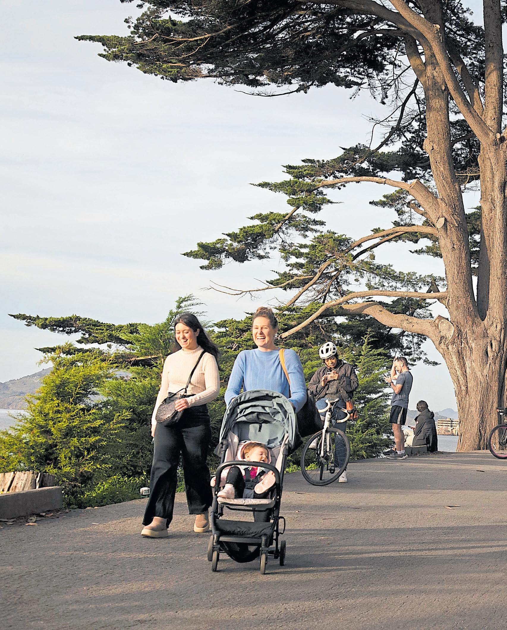
Hikers and cyclists share a steep trail above the cliffs of San Francisco’s Fort Mason. The trail is one of the shortest but most spectacular sections of the San Francisco Bay Trail.
 KARL MONDON/STAFF
on one side of the trail are blanketed with emerald-green grasses, punctuated by craggy red rocks. On the other side, surprisingly clear, blue-green water ripples in a former salt pond stretching far out into the Bay. It’s a world away from the office parks, strip malls and subdivisions of Fremont and Newark.
The 1,266-acre park, dedicated in 1967, is notable for its mostly treeless hills — part of an ancient range — that suddenly rise up amid the flat expanse of wetlands and the Bay. The park draws hikers, joggers, bikers and birdwatchers to its network of well-marked trails, including the Bay View, Alameda Creek and Apay, which are part of the Bay Trail. Explore

meadows and marshlands, climb to the top of Red Hill and venture out onto levees built around the evaporation ponds once used to mine salt from the Bay. Visitors can also view sites once used by the Tuibun, a Chochenyo Ohlone-speaking tribe, who thrived here for 2,000 years before the arrival of Spanish missionaries.
The trail: A 3.5-mile loop starts at the visitor center and winds up and around the contour of the hills. On the western side, the trail offers great shoreline views and access to even longer trails, including the Alameda Creek and No Name trails, which lead out on levees to the Shoreline Trail in Don Edwards San Francisco Bay National Wildlife Refuge.
Details: The park district is finishing up a project — slated for completion this spring — to provide better parking and public facilities and to restore habitat to 170 acres of savanna and seasonal wetlands. Until then, walk into the park on Patterson Ranch Road, where you can catch the Bay Trail at the Quarry Staging Area or the visitor center. Find details, a map and seasonal hours at www.ebparks.org/parks/coyote-hills.
Nearby bites: Head into nearby Newark, where a variety of Asian restaurants populate the shopping centers along Jarvis Avenue. The tiny, unpretentious Rice and Spoon, which is open from 10:30 a.m. to 8 p.m. Monday-Saturday at 7060 Jarvis Ave., serves up delicious banh mi and pho; www. riceandspoon.com. Satisfy your craving for sweet and creamy boba milk or Vietnamese coffee at the Feng Cha Teahouse, which
is open from 11:30 a.m. to 10 p.m. daily in the Newark Place shopping center; www. fengchabayarea.com.
This fascinating walk is like taking a distilled shot of Bay history — straight, no chaser. Begin just outside the sea lion-crowded waters of Hyde Street Pier at the San Francisco Maritime National Historical Park. Here you might think you tripped into a wormhole to the 1800s, with the square-rigger Balclutha and other historic ships lined up for public touring. A visitors center holds a pirate’s bounty of artifacts, from remnants of local wrecks and a lighthouse Fresnel lens to pictorials showing how sailors slept underneath wood-plank sidewalks (the housing market was tough even back then).
Across the street, you might spot a drenched-looking individual exiting the South End Rowing Club, which has popularized recreation in these frigid waters since 1873. Pay a small day-use fee, and you can step inside the hallowed club to ogle its boats, enjoy the
If you’re craving a sip while hiking the San Francisco waterfront, Fort Mason’s The Interval serves espresso drinks and cocktails as well as conversation openers, like “What is that?” (It’s an orrery, a mechanical model of the solar system.)
 KARL MONDON/STAFF
sauna and listen to athletes tell of swimming to Alcatraz Island. Terry Hunt has made that journey 21 times. “That’s nothing,” she noted on a recent afternoon. “There are four or five people who’ve done it over a thousand times. Twenty-one is chump change.” (Now’s a good time to mention the club’s motto: “No sniveling.”)
Alcatraz is front-and-center in the crescent-shaped scope of Aquatic Park. Look down at low tide for a weirder view: Some of the seaweed-carpeted “rocks” on the waterfront are actually grave markers. San Francisco’s expansion required a lot of fill material, and tombstones from the Gold Rush occasionally fit the bill. A narrow staircase just west leads to a secret-feeling cliff walk by Fort Mason, where ships once mustered for America’s colonial pursuits. The old Black Point artillery fortification with its massive cannon is pointed out to sea, still waiting to rain hell on the British and Confederates.
From here, it’s a two-mile walk to Crissy Field with its famous Bay views. But an equally impressive experience can be found at Marina Green, where lush grass unrolls like a landing strip pointed at the Golden Gate Bridge. It’s a fine place to take a breather, enjoy a snack and think random

things, like, “I can’t believe the U.S. Navy wanted to paint the bridge black with yellow stripes.”
The trail: This stretch of the Bay Trail is paved and relatively easy, though you’ll need to take stairs to cut through the north end of Fort Mason, the part with the cliff views. Information on the maritime park is available at nps.gov/safr.
The details: The historic ships at Hyde Street Pier ($15 admission) are open from 10 a.m. to 5 p.m. daily at 2905 Hyde St. in San Francisco; www.nps.gov/safr/index.htm.
Nearby bites: Fort Mason’s Radhaus is a Bavarian beer hall that offers massive pours and hearty bites, including bratwurst, pretzels and Jägerschnitzel. It’s open daily at 2 Marina Blvd., Building A, in San Francisco; radhaussf.com. Next door, you’ll find Interval at the Long Now, a coffee and cocktail bar unlike any other with a unique theme — time — as well as salon talks by scientists and powerful tipples such as a Decanted Mother-in-Law served in a New Orleans-style apothecary bottle. It’s open daily until 11 p.m.; theinterval.org.
Be patient. Seal Point Park may not be much to look at from the parking lot; you’re greeted by towering power lines and ongoing construction at the adjacent San Mateo Wastewater Treatment
Top: Sonic sculptures add whimsy to the great views at Seal Point Park in San Mateo. The former landfill is now part of the 350-mile San Francisco Bay Trail that circles much of the bay.
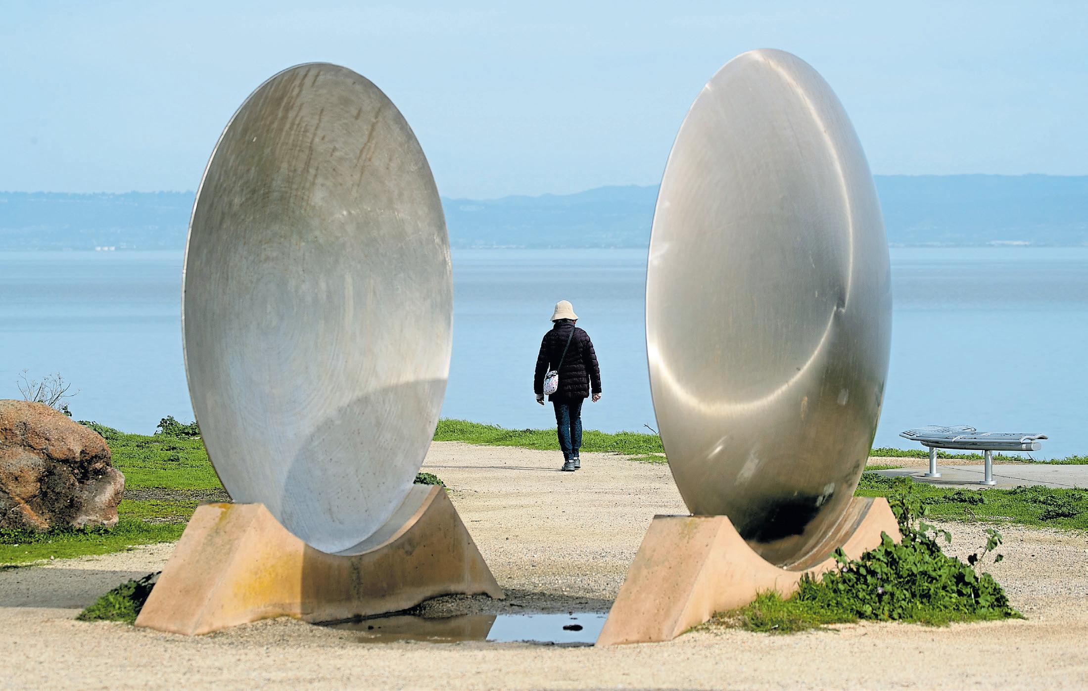
Plant. But once you get into the park — especially on the Bay side — all that fades away, as you’re soon immersed in a lunch-hour getaway or little weekend escapade. Bring a picnic, bring Fido and bring a sense of adventure.
The park, which takes its name from the Pacific harbor seal, is popular with cyclists as well as windsurfers and kayakers — and it boasts an enormous dog park, too. Bird lovers should keep an eye out for Western sandpipers, willets and other shorebirds working the mudflats. And lovers of art, sculpture and whimsy should definitely venture a few steps off the Bay Trail: You’ll find a cool echo chamber at the top of the park and a Wind Walk that takes you past sculptures and art installations
that interact with the breeze. Seal Point, which is bordered by the smaller Ryder Park to the north and Seal Slough to the south, offers a variety of terrain — hill trails, steep steps and flat paths — and plenty of benches from which to enjoy a lunch-hour picnic as you take in the gorgeous Bay views, complete with the San Mateo-Hayward Bridge and planes soaring to and from San Francisco Airport.
The trail: Wondering about the creatures who live here? This stretch of the Bay Trail, a mostly flat path right along the water, is dotted with informational signs about local wildlife, including Pacific harbor seals, the only marine mammal that resides in the Bay year round.
Strolling the Tiburon and Belvedere stretches of the Bay Trail lets you glimpse some incredible architecture, including The Corinthian Yacht Club in Tiburon.
Details: The park, located at 1901 J. Hart Clinton Drive, offers free parking, restrooms, kayak/windsurfing access and a threeacre fenced dog park with a separate area for smaller dogs. It’s open from 6 a.m. to half an hour after sunset; cityofsanmateo. org/3384/Seal-Point-Park.
Nearby bites: Load up on apple fritters, French crullers and other doughy treats — and coffee, of course — at Golden Bell Donuts, which opens at 4:30 a.m. daily at 1500 E. Third Ave. in San Mateo.
As you stroll the Bay Trail
from Tiburon through Belvedere, Mill Valley and Sausalito, the world-class views don’t just boast spectacular natural beauty. They exude glamor — not unlike another famous shoreline in another part of the globe.
San Francisco Bay, the Golden Gate, Alcatraz, Angel Island and Mount Tamalpais all offer backdrops to hills stacked with beautiful homes, private yachts and chic downtowns. Admiring the stunning real estate while you walk, run or cycle is part of the fun, even if you’re not an Architectural Digest devotee. There are Mediterranean villas, French chateaus, Victorian painted ladies, elaborate modernist structures and once-simple Craftsman bungalows updated into multi-
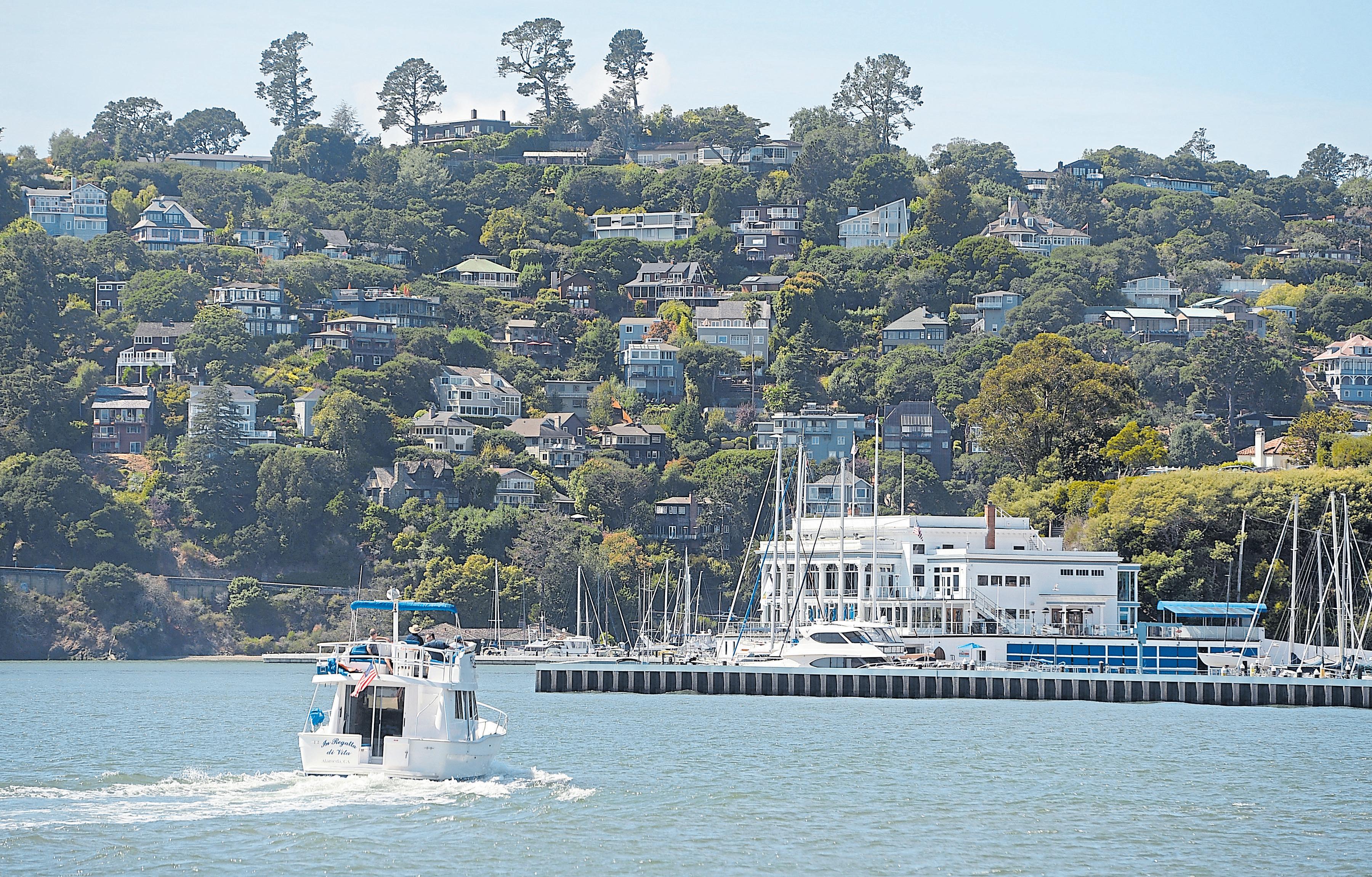
million-dollar showplaces. If you pick up the trail along Sausalito’s Bridgeway, just north of the historic downtown, you’ll also pass by the town’s famous floating homes.
It’s easy to pick up the trail at different spots around Richardson Bay — in or near main business districts, or in parks and neighborhoods. Street and lot parking is widely available, though it’s at a premium in downtown Sausalito.
The trail: Start at the Tiburon Peninsula Historical Trail at Shoreline Park near the city’s tiny waterfront downtown, then head
Above: Volunteers work to secure the historic SS Red Oak Victory ship at Basin 5 in Richmond, the very spot she was outfitted before her maiden voyage in 1944.
 LAURA A. ODA/STAFF
ARCHIVES
Top: Guests dine alfresco at Sam’s Anchor Cafe in Tiburon.
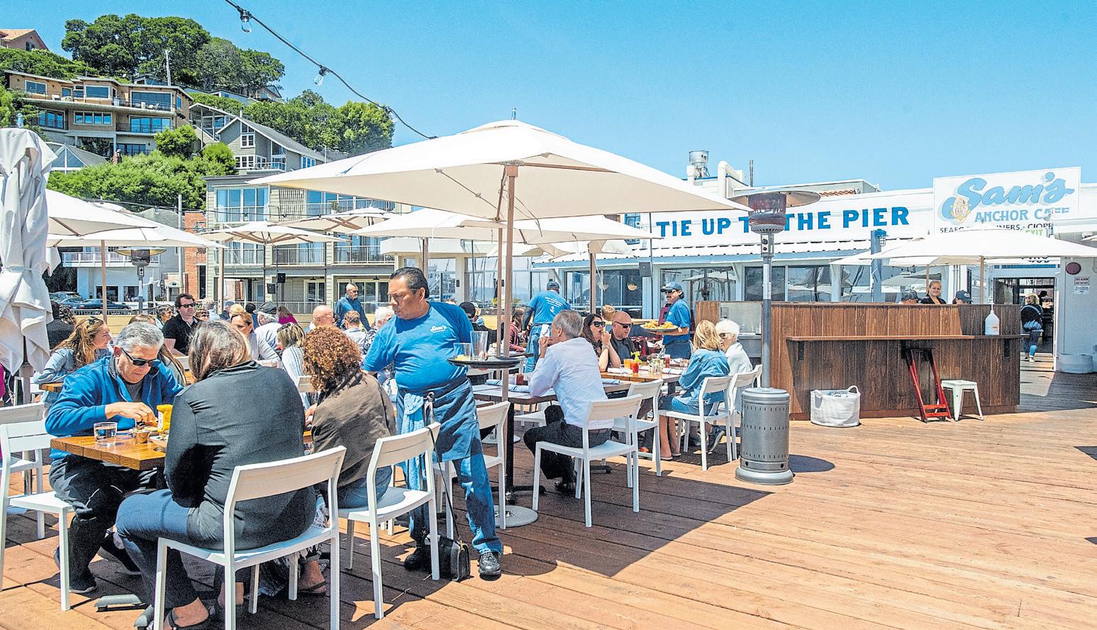
northwest along Tiburon Boulevard until you reach Mar West Street near Tiburon’s Town Hall. Here a 3-mile, multi-use trail follows an old railroad alignment, offering views of Mount Tamalpais and Sausalito and ending at Blackie’s Pasture.
In Mill Valley, access to the Mill ValleySausalito Path can start at Bayfront Park. For just over a mile, the trail passes through Bothin Marsh’s prime birdwatching territory, crosses Coyote Creek and passes under Highway 101.
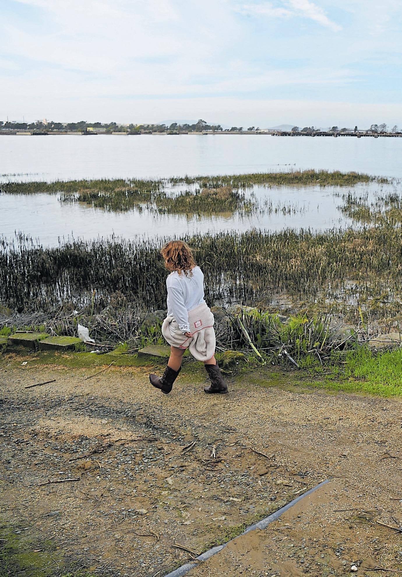
As you enter Sausalito, the trail merges into Bridgeway’s bike lanes and sidewalks for another 3 miles. Just past tiny Vina del
Mar Park, the Bridgeway Promenade opens up to one of the trail’s most spectacular vistas — an expanse of San Francisco Bay that takes in the East Bay hills, the Bay Bridge, San Francisco’s skyline and the Golden Gate.
Extras: Near Coyote Creek, the trail intersects with the Tennessee Valley Path, which leads west to the Pacific Ocean and connects to trails in the Golden Gate National Recreation Area. Or you can head for the northern base of the Golden Gate Bridge by continuing south of Sausalito along East Road toward historic Fort Baker, the former military base now home to the Bay Area Discovery Museum and Cavallo
Point Lodge.
Nearby bites: Enjoy oysters, lobster rolls or a Sam’s Louie salad at Tiburon’s century-old Sam’s Anchor Cafe, where the waterfront deck offers views of Angel Island and San Francisco. Open daily for lunch, dinner and weekend brunch at 27 Main St.; https://samscafe.com.
In Sausalito, the Baja-inspired Salsalito Taco shop serves seafood tacos, black bean and corn enchiladas and chilaquiles for lunch Thursday-Sunday and dinner Friday-Saturday at 1115 Bridgeway; www. salsalitotacoshop.com.
RICHMOND
Ever take a hike that included features such as an engine room, a 3-inch/50-caliber gun and “shaft alley”? You can, if you venture down the Bay Trail in Richmond’s historic shipyard district, which terminates at a special and eminently explorable ship called the SS Red Oak Victory.
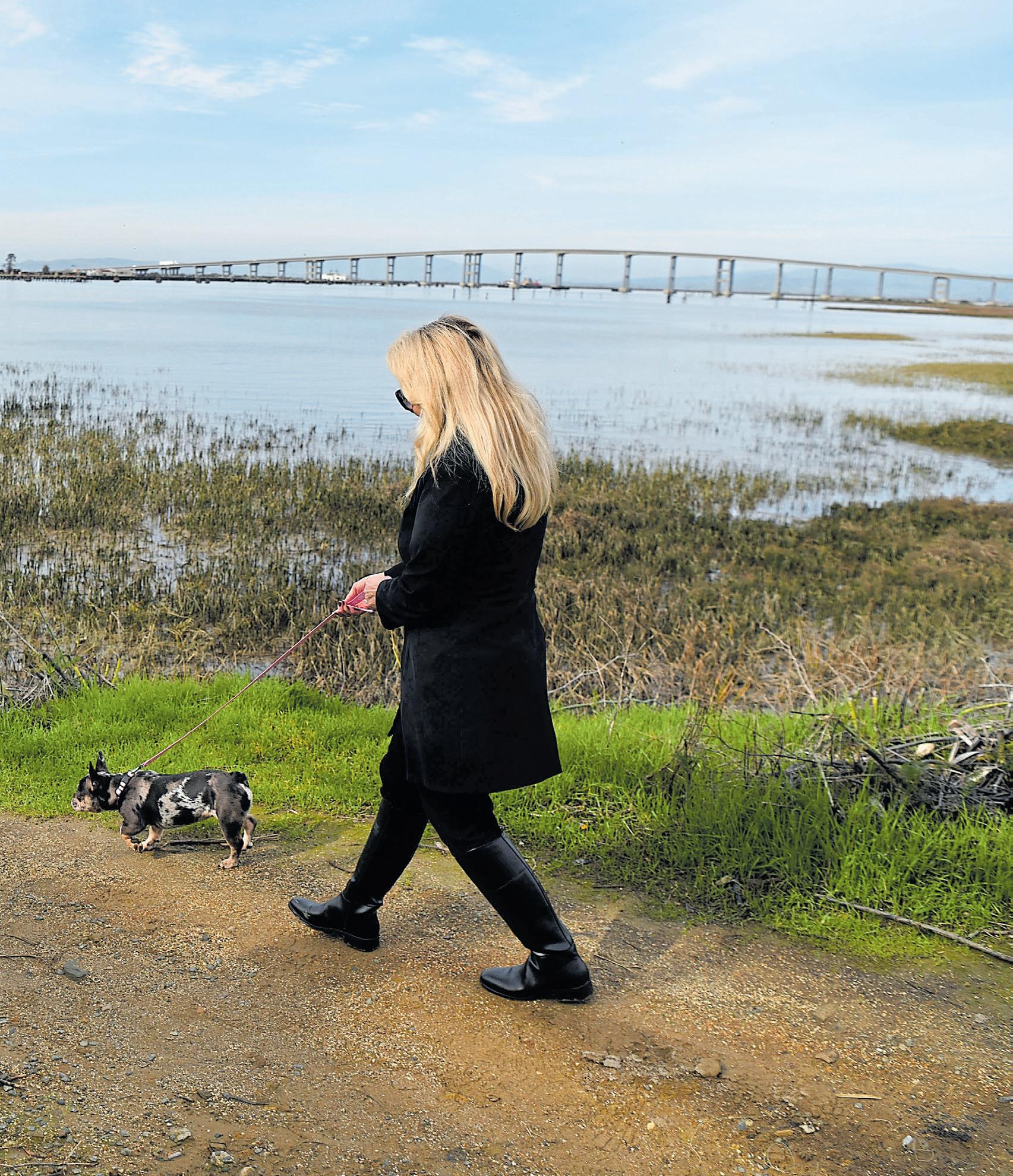
The Red Oak is the last surviving “Victory Ship” of the 747
constructed here during World War II. Built in an incredible 87 days, it carried ammunition to help in the invasion of Okinawa. Volunteers have been working for decades to get it operational again — not for aggression (you’re safe for now, Canada), but to take visitors through the Golden Gate or up to Sacramento.
“We were able to light off the boilers in 2018, and then run the generators and operate under the ship’s power,” says Alan Burns, a lead docent and purser.
Climb aboard and you can see the bridge, galley, stacked bunks,
some “not bad” bathrooms and a 1940s radio room that transmits in Morse code. There’s also a 175-foot-long propeller shaft and that 50-cal. deck gun.
“We’ve actually fired it,” says Burns. “We just put in some powder — there was no shell involved.”
The trail: A paved trail leads through a charmingly gritty landscape of railroad tracks and new cars waiting for export. With no great public-transportation option here, the trail is best reached by car or bike (and there is a sizable biking contingent that comes here). While many stretches of the Bay Trail are ADA-friendly, be aware that exploring this ship involves stairs.
Details: The Red Oak is open from 10 a.m. until late afternoon on Sundays at 1337 Canal Blvd., Berth 5, in Richmond. Find details and seasonal hours at redoakvictory.us.

Nearby bites: Riggers Loft, a historic, cavernous warehouse space, offers wine tastings and a cider bar, food pop-ups and live music on many weekends. Surrounded by a seawall of wine barrels, its outdoor space is great for enjoying sunny weather and views of boats motoring in and the gleaming San Francisco skyline. Riggers Loft opens at 5 p.m. Thursday-Friday and 1 p.m. weekends at 1325 Canal Blvd. in Richmond; riggersloftwine.com.
Vallejo — and its stretch of the Bay Trail — are graced with a particularly scenic waterfront dotted with marinas and classic dockside eateries. And its distinctive Waterfront Park Trail, which runs alongside the Napa River, offers views of the gantry cranes, dry docks and other industrial colossi at the heart of the Mare Island Naval Shipyard, one of the most significant places in local and American military history.
Mare Island actually is a peninsula, poised where the Napa River flows into the Carquinez Strait and San Pablo Bay. Legend has it that the peninsula’s name comes from General Mariano Vallejo, whose prize mare swam to safety after an 1830s shipwreck in the Bay. The shipyard’s operations predate the Civil War by nearly a decade, and its first commander, Commodore David Farrugut, was the Union hero whose most famous line — “Damn the torpedoes. Full speed ahead.” — lives on today.
Until the shipyard closed in 1996, the changing nature of war-
A stroll along Vallejo’s stretch of the Bay Trail is just the thing for Diablo resident Brenda Benson and her granddaughter, Kataleya Garitano, 6, and dog, Boba.
JOSE CARLOS FAJARDO/ STAFFFish and chips make a great post-Bay Trail meal at the Sardine Can, where manager Angela Smith holds court. JOSE CARLOS FAJARDO/STAFF
fare and America’s place in the world was reflected by the ships launched here — from steam-powered gunboats to destroyers, battleships, aircraft carriers and nuclear-powered submarines used in both world wars, the Cold War and beyond.
From Vallejo’s portion of the Bay Trail, you can still see where those ships were launched. The massive former machine shops and brick-sided coal sheds have since been transformed into chic, warehouse-style spaces for startups, artists studios and a local brewery.
The trail: The level, paved, mile-long multiuse trail starts at the Vallejo Boat Launch, near a municipal parking lot, continues north through Independence Park, passing the Vallejo Ferry Terminal, a waterfront green and the Vallejo Yacht Harbor and Municipal Marina before ending at the Mare Island Causeway.
Explore more: Use the pedestrian path on the causeway to reach Mare Island, where the Mare Island Historic Park Foundation offers docent-led tours; https://www.mihpf. org. A crossing under the causeway leads to River Park, where a dirt trail offers views of marshlands and Wine Country mountains. Or you can head several blocks east on Georgia Street and wander around Vallejo’s small historic downtown, which includes the historic 1911 Empress Theatre and the Vallejo Naval and Historical Museum.
Nearby bites: The Sardine Can’s Marina Salad with tuna, bacon bits, chopped egg and red potatoes, has long been the go-to meal for Dennis Kelly, the vice president of the Mare Island Historic Park Foundation. The seafood eatery, a local favorite for decades, is open daily for breakfast, lunch and dinner at “0” Harbor Way in Vallejo; https://vallejosardinecan.com. Or head for the Mare Island Brewing Company’s taproom to sample Coal Shed Stout or Farrugut’s Farmhouse barrel-aged saison. The tap room is open from 11:30 a.m. to 9 p.m. daily at the Ferry Terminal, 289 Mare Island Way; www. mareislandbrewingco.com.
SAN JOSE
It’s easy to feel like you’ve
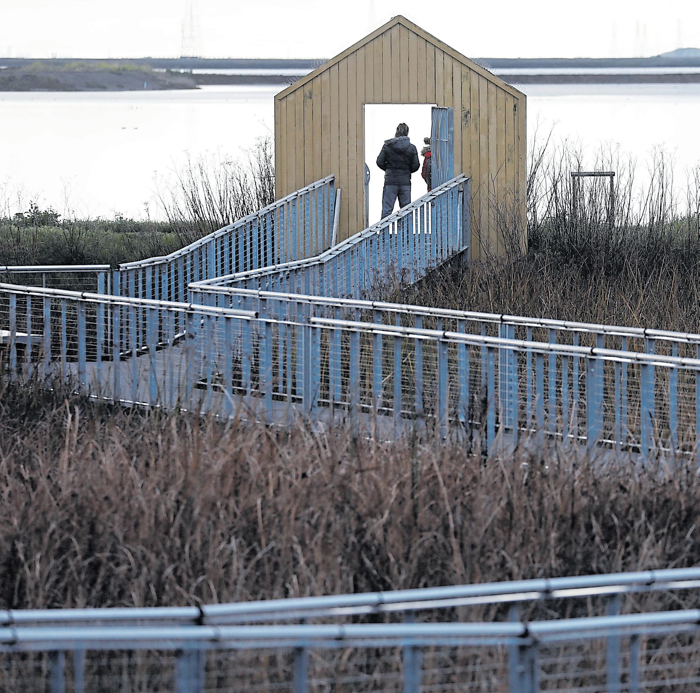
left the bustling city behind and entered a different world as you explore the wonderfully secluded Alivso Marina County Park, its levee trails and boardwalks accessed through fantastical yellow portals. The park’s ongoing South Bay Salt Pond Restoration Project and its heavy machinery may provide the
occasional reminder of reality, but don’t let that deter you. This 20.6-acre treasure extends into the southernmost reaches of the Bay and serves as the gateway to the Don Edwards San Francisco Bay National Wildlife Refuge. It’s a quiet and peaceful spot, with shorebirds, rippling water and
the occasional patter of jogger footfalls adding to the meditative natural soundtrack.
“It’s easy to get lost out there,” says Santa Clara County park ranger David Espinoza.
Learn about how this section of the Bay’s shoreline has changed over time by taking one of the
park’s free interpretive boat rides offered from May through October through the Alviso Slough.
The trail: The park’s Bay Trail segment is a 9-mile loop that offers splendid views of wetlands and brackish and freshwater marshes as well as of the old salt ponds that are being restored to tidal wetlands and other
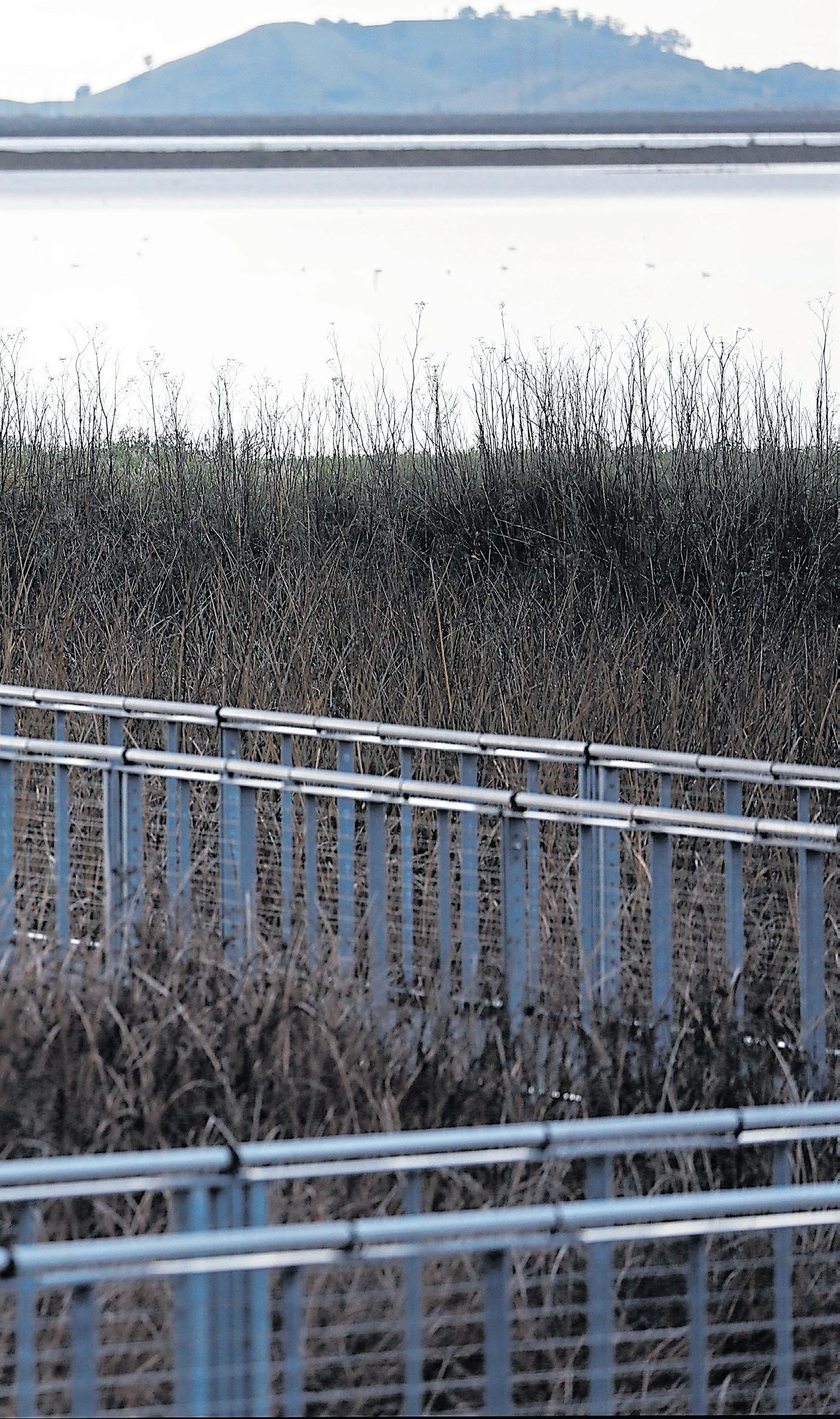
habitats. (Some portions of the loop may be closed due to the restoration project.)
Details: The park is open from 8 a.m. to sunset at 1195 Hope St. in San Jose and provides free parking, restrooms and kayak/ boat launch access. Be sure to bring water, Espinoza says, especially if you’re tackling the entire 9-mile trail. Dogs are allowed in
the park and picnic areas, but not on the trails, levees or boardwalks. Find maps and details on the park and interpretive boat rides at parks.sccgov.org.
Nearby bites: El Taco de Oro serves everything from menudo and huevos con chorizo to burritos, enchiladas and quesadillas con carne. It’s open for breakfast and lunch daily at 5220 N. First St.; eltacodeoro.com. Prefer a food truck option? The El Taco de Oro RM — similar name, different owner — is parked right next door.
Think of Marin County’s natural jewels, and the mind turns to Mount Tam. But it’s China Camp State Park that, year after year, tops local polls for best park — people just really seem to connect with this quirky, unassuming place.
It’s not flashy. Naturewise, perhaps the park’s most significant claim is having the largest intact, original marsh in the Bay Area. It also abuts something called Rat Rock Island which, well, your guess is as good as ours. But visit
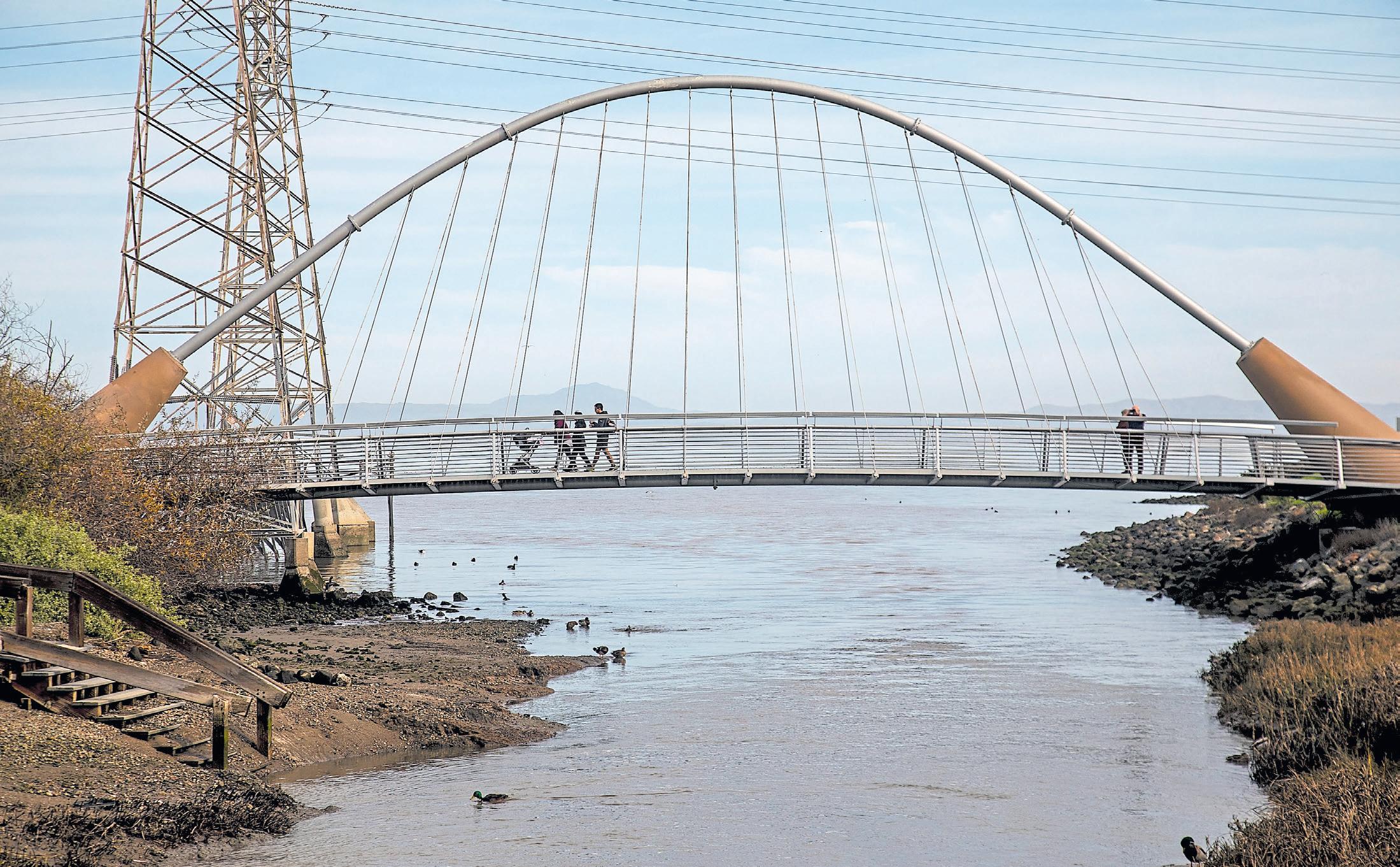
The pedestrian path on Crockett’s Alfred Zampa Memorial Bridge is part of the San Francisco Bay Trail.
 JOSE CARLOS FAJARDO/ STAFF
China Camp, and its charms will grow on you. Well-maintained trails make it a paradise for mountain bikers, who come from near and far to do a popular loop. At its highest point, views of San Pablo Bay are unbeatable. And then there’s its legacy as one of a couple dozen Chinese fishing villages that dotted the Bay in the late 1800s, specializing in grass shrimp dried for export.
A fire erased the original village, though it was later rebuilt. “There was tremendous anti-Chinese sentiment at the time. This was not the only case of a ‘mysterious fire’ burning down Chinese homes,” says Martin Lowenstein, executive director of the nonprofit Friends of China Camp.
Today, people can explore traces of the community’s history at a pleasant beach with a museum, a boat workshop with a replica of a Chinese junk and a historic cafe that used to prepare shrimp salad (but nowadays stocks more standard picnic fare). A pier for shrimp hauling now is the perfect place to dip your feet or even jump in the water, as temperatures are 10 degrees warmer than what you’ll usually find in the Bay. Trails wind all around the park and make for great spotting of wildlife, from mule deer to wild
turkeys to the elusive American badger.
The trail: A dirt/gravel section of the SF Bay Trail goes through the park, with a planned portion on North San Pedro Road passing right by China Camp Village. The roughly 1,500-acre state park itself has 15 miles of multi-use trails, including ADA and mountain bike-friendly ones, and an accessible loop called Turtle Back Trail that ventures into the marsh.
Details: Find the visitor center at 101 Peacock Gap Trail in San Rafael; https:// www.parks.ca.gov/. Camping sites available. Food and beverages are sold at China Camp Village on the weekends. The beach is also popular for picnicking and barbecuing.
Nearby bites: “Down the road, there is a nice neighborhood supermarket with a coffee and wine bar called Andy’s Local Market. It’s the local hangout,” says Lowenstein. “My personal favorite place to eat, further down the road, is Puentez Taqueria.” The market is open daily from 6:30 a.m. to 8 p.m. at 75 Loch Lomond Drive in San Rafael; www.andyslocalmarket. com/. The taqueria is open from 10 a.m. to 9 p.m. daily except Sunday at 243 Third St.; www.puentez.com/
Rarely does something so ugly become so beautiful. In the 1950s, this spit of land off Berkeley was a dump for municipal waste. Since then, the city’s capped the landfill to create Cesar Chavez Park, a waterfront site with bird-watching options, dog-walking delights, Irish-green vegetation and some of the best views in the East Bay. The first tipoff that this isn’t your ordinary open space is the gas-flare station, which sticks up like a giant birthday candle neutralizing methane from 12 feet of buried garbage. It’s surrounded by copious amounts of wildlife, from fat ground squirrels munching fresh grass to fluffy birds with stunningly colored chests (there’s a shorebird preserve here).
Cesar Chavez Park itself is a vast meadow threaded with pleasant pathways, where dogs burn off energy by charging up and down rolling hills.
A trail sign lets you know this area’s called “Berkeley’s windy front porch,” and it’s no exaggeration. Gulls hover seemingly in place without so much as flapping
a wing — it’s no wonder the park has regularly hosted kite-flying festivals. The relentless breeze seems to have given permanent hunches to the gnarled pines protecting the Bay path. Sometimes, the wind and low jingling of halyards from the marina’s boats is all you can hear; it’s quite zenlike.
Yuvi Panda, of Berkeley, contemplates the view at Cesar Chavez Park in Berkeley.
 RAY CHAVEZ/STAFF
Exploring in any direction can provide fun rewards. There’s a long pier (now closed) that, in the early 1900s, loaded cars onto ferries for people who had come over to watch Cal football games. For the kids, there’s a charmingly rustic play area, and nautically minded adults can go sea-kayaking or just walk around spotting
MENLO PARK
You’ll find Bedwell Bayfront Park at the end of Marsh Road, a 160-acre community jewel that draws hikers, runners, cyclists, photographers, kite-fliers and other outdoor lovers looking for a respite from the hustle and bustle of Silicon Valley.
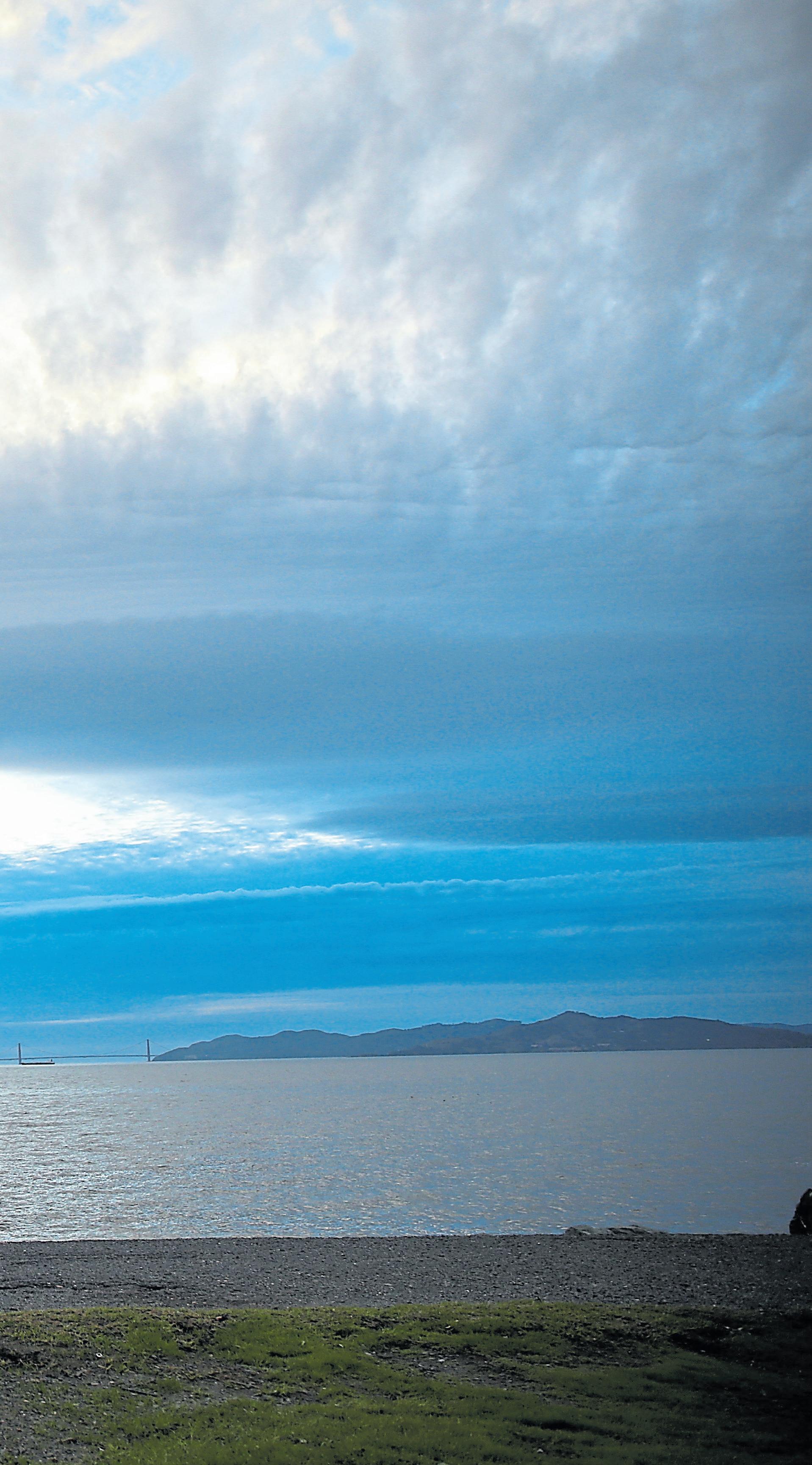
With 25 maps, this guide to the San Francisco Bay Trail provides limitless weekend adventures.

SAN FRANCISCO BAY TRAIL
boats with names like “Vague Unrest.”
Details: A paved, wheelchair-accessible trail runs around the perimeter of Cesar Chavez Park. Other paved trails will take you through a yacht harbor and a shorebird park. There are picnicking sites, public restrooms and a deli serving sandwiches and fried seafood.
Nearby bites: Skates on the Bay is your quintessential waterside restaurant with a seafood-heavy menu and a shrimp cocktail that arrives in a cloud of dry-ice vapor. But it’s the view you’re really here for — and it’s fantastic, with floor-to-ceiling windows exposing a panorama from the Bay Bridge to Marin and all the islands in between. Open for lunch and dinner daily at 100 Seawall Drive in Berkeley; skatesonthebay.com.
The fact that this is a former landfill is shocking now — and downright unfathomable when you’re taking in the view from atop the park’s highest point. A climb to the park’s top knoll offers amazing views of the Don Edwards San Francisco Bay National Wildlife Refuge, which borders the park on three sides.
Bedwell offers a choose-yourown-adventure approach to hiking with an extensive, mostly unpaved trail system that ranges
from steep trails across the hilly interior to a relatively flat track circling the perimeter. Walk, gaze and keep an eye out for the more than 30 species of birds that frequent this region.
The trail: The SF Bay Trail segment at this park consists of a relatively flat, 2.3-mile loop that runs through some charming bayside terrain and offers soothing views of marshes and former salt ponds.
Details: The park is open from 7 a.m. to sunset at 1600 Marsh Road in Menlo Park, with free parking, restrooms and a bottle filling/hydration station; menlopark.gov/ Parks/Bedwell-Bayfront-Park.
Nearby bites: Follow Marsh Road west across Highway 101, and you’ll find a number of tasty options at Redwood City’s Marsh Manor shopping center. Fill up with fajitas, a super burrito and margaritas at Los Gallos Taqueria, which is open for breakfast, lunch and dinner daily at 3726 Florence St. Prefer pizza? Try State of Mind Public House and Pizzeria for lunch or dinner daily at 3710 Florence St.; stateofmindpublichouse.com.
Ifyou took that old Joni Mitchell lyric — “They paved paradise and put up a parking lot” — and turned it on its head, you’d get San Francisco’s stunning new green space. An ugly freeway used to cut through the Presidio, a former military and now national park site, blocking views of the Bay and Golden Gate bridges. But the road’s been banished to underground tunnels, and as of 2022, the top now serves as a public park with lovely lawns, a cliff walk and a botanic garden with 200,000 plants.
The “starchitect” behind the Tunnel Tops is James Corner of Field Operations, which also designed the innovative High Line in New York. At its fundamental level, Presidio Tunnel Tops is a giant amphitheater for admiring nature’s glory reflected in the Golden Gate — the verdant hills of Marin, the ghostly fog rolling in, birds diving and whales breaching. Broken down into geographic bits, it’s a recreational wonderland that could take a day to soak in, with forms of entertainment you’ve probably never imagined possible.
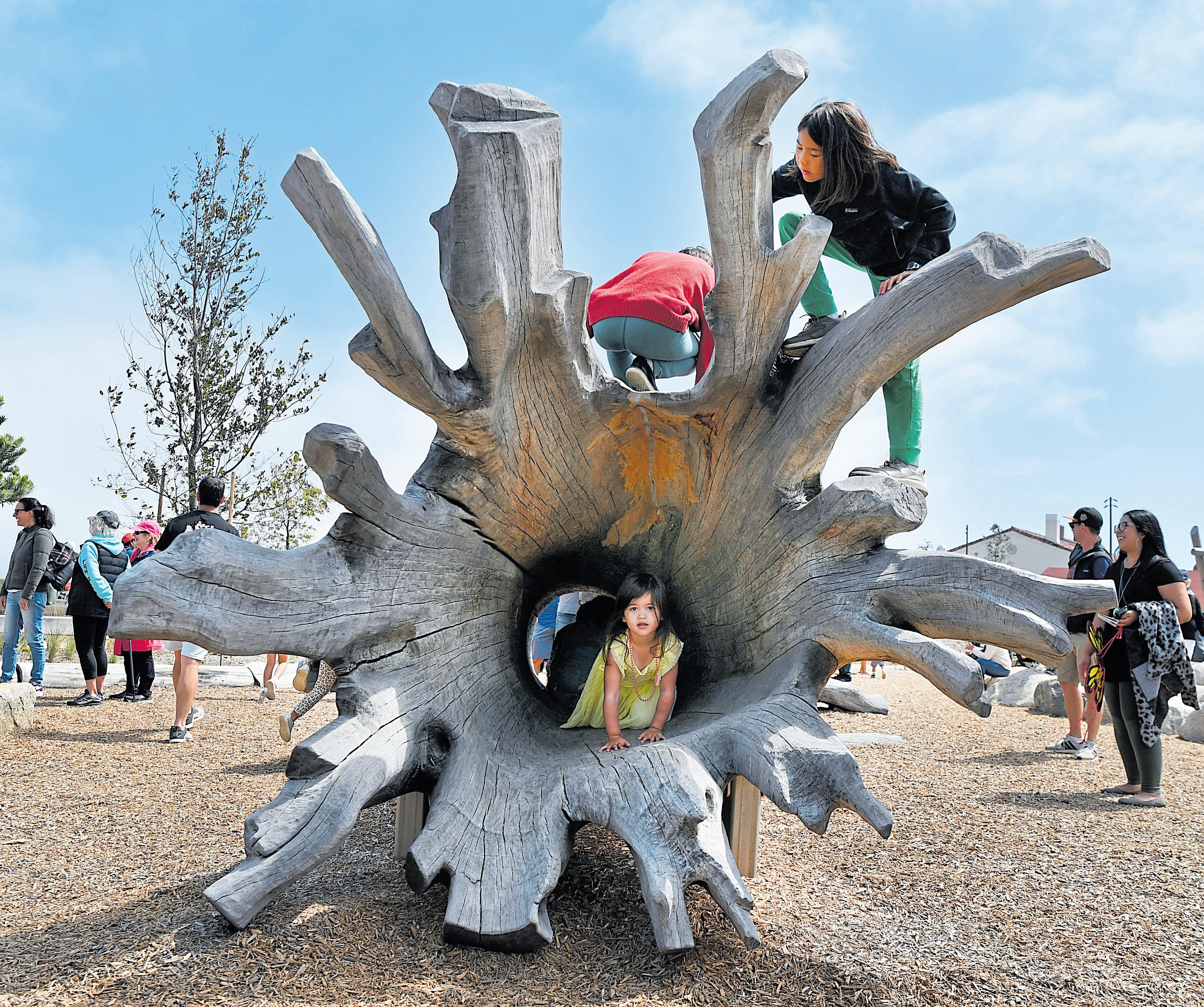
For the kiddos, there’s a play zone made from huge trees, which have naturally fallen over in the surrounding hills. One has a cavernous interior to shimmy through, while another mimics the structure of local birds’ nests and is great for climbing. A science museum provides the opportunity to literally taste the Presidio, with water infused with native herbs like minty yerba buena. There, you can also pet the first coyote radio-tagged in the park (it won’t bite, it’s taxidermied).
Wander in any direction, and you might find something surprising, like a campfire circle sheltered with boulders against the marine breeze; on weekends, rangers lead talks about the Presidio’s history here. There are vibrant outdoor murals and, if you wander over to the park’s edge, views of traffic zooming under your feet — a reminder that as cities get denser, we’ll need to be this creative about carving out beautiful new park spaces.
The picnic: You could pack a lunch to enjoy in one of the meadows or reserve a spot at the park’s Picnic Place with barbecue grills and incredible bay views. But there’s also a resident food-truck park with everything from empanadas to borscht, Indian snacks, beer and cocktails. Check the park’s website to see who’s serving that particular week.
The details: The grounds are open daily, but seasonal hours vary for specific attractions, including the museum and play zone. Drive or take public transit (including a free shuttle that stops at Embarcadero BART) to the Presidio Visitor Center at 210 Lincoln Blvd., San Francisco; www.presidiotunneltops.gov.
Extras: Tunnel Tops is a jumping-off spot to explore other fun stuff nearby. Toward the water, there’s Crissy Field and Fort Point, a historic military site that’s open from 10 a.m. to 5 p.m. Friday-Sunday and offers unusual views of the Golden Gate Bridge’s underbelly. Back at the Presidio, you’ll find the Walt Disney Family Museum, which is open from 10 a.m. to 5:30 p.m. Thursday-Sunday, and the headquarters of Lucasfilm, where you can snap a selfie with the Yoda statue at any time of day.
Left: Shelly Ross, of San Francisco, enjoys lunch with her daughters, 4-year-old Emma and toddler Lani, and her husband, Tim Ross, while at the Presidio Tunnel Tops in San Francisco last summer.

Opposite: Children climb and explore the park’s fallen tree playground.

Outdoor adventures abound in the Bay Area, where 10,000 miles of trails wander across more than 300 mountains, 19 state parks, eight national park units — and one very civilized, almost-Gilded Age garden.
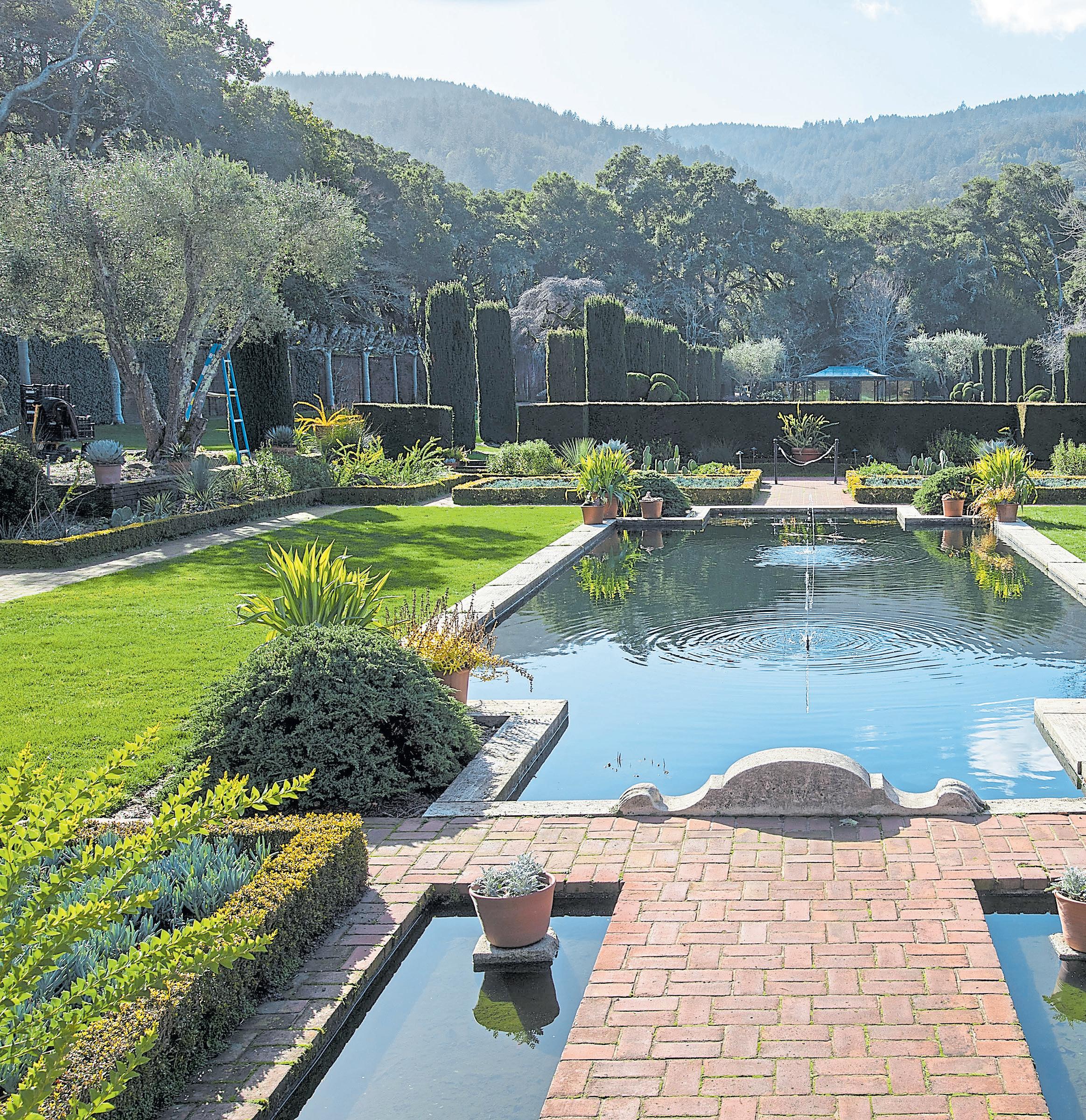
Filoli, Woodside’s historic estate has long been a holiday lights destination. But the grounds are simply spectacular, with 16 acres of formal gardens, 250 fruit trees, a vegetable garden and a daffodil meadow planted with more than 75,000 spring bulbs. Getting your steps in has never been so lovely.
As the director of horticulture, responsible for all the growing things at Filoli, Jim Salyards knows those grounds intimately, but one spot among the thousands whispers to him, no matter the season.
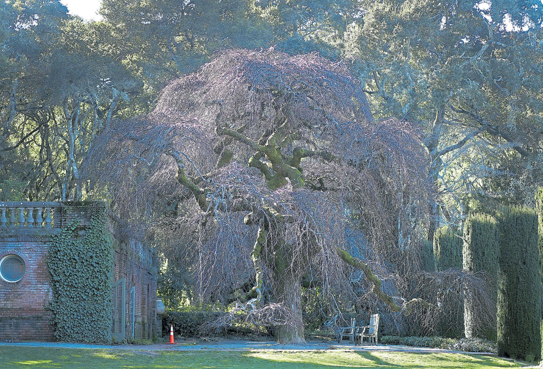
Near the estate swimming pool stands a Camperdown elm planted decades ago. In the winter, the bare limbs are blanketed with moss, and the hundreds of branches make it appear as if the tree is wearing a fascinator of clouds. In the spring, the tree leafs out in brilliant greens with long, dangling chartreuse seed pods that dance in the breeze. As the days move into summer, the tree offers a welcoming, embracing umbrella of shade; sitting beneath it, time seems to still.
In a landscape that provides so much beauty, it’s easy to be overtaken by the glory spread out before you, but Filoli is a place to take your time, do some
Left: The sunken garden at Filoli features a reflecting pool surrounded by low hedges and formal beds, some of which now display beautiful succulents in the winter months.
 KARL MONDON/STAFF
Above: Light comes through the window and illuminates some of the orchids on display at Filoli Historic House and Garden during an orchid show in 2020.
 RANDY VAZQUEZ/ STAFF ARCHIVES
It’s
Everywhere you turn at the huge garden estate in Woodside, there is something beautiful to admire
exploring and look for the details that make the difference.

Filoli was built in 1917 in the style of a Georgian mansion. Owners William and Agnes Bourn had intended it to be their country retreat, but grandeur won out as the home rose from its foundations to include 56 rooms covering more than 54,000 square feet.
After their deaths, the 654-acre estate was sold to William and Lurline Roth, who continued to expand the gardens. Lurline was a particular fan of camellias — she was crazy for camellias, Salyards says — and a large variety of the shrubs can be found throughout the formal gardens.
The Roths, Salyards says, wanted the estate to be a place of horticulture significance, where people could visit and learn about the astounding aspects of nature. Before her death, Lurline ensured that would happen, refusing to sell the estate and instead agreeing to put it in the hands of the National Trust for Historic Preservation. Filoli has been open for public

tours of both the house and the gardens for almost 50 years.
Like all living things, appearances change from year to year and season to season, but at the heart of the expansive garden is its caretakers’ drive to preserve historic plantings while keeping up with the times, including an emphasis on reducing water use. That has led to some interesting, how-can-thatpossibly-work-but-it-does landscaping decisions that include a formal English garden planted with Mediterranean stalwarts and a traditional cottage garden filled with California natives.
Perhaps you’ve only seen Filoli festooned with holiday lights or when the tulips gently wave their hellos — perhaps you’ve never found the time to stroll the estate at all. Now is always the perfect time to go, and when you do, here are 11 must-sees when visiting Filoli.

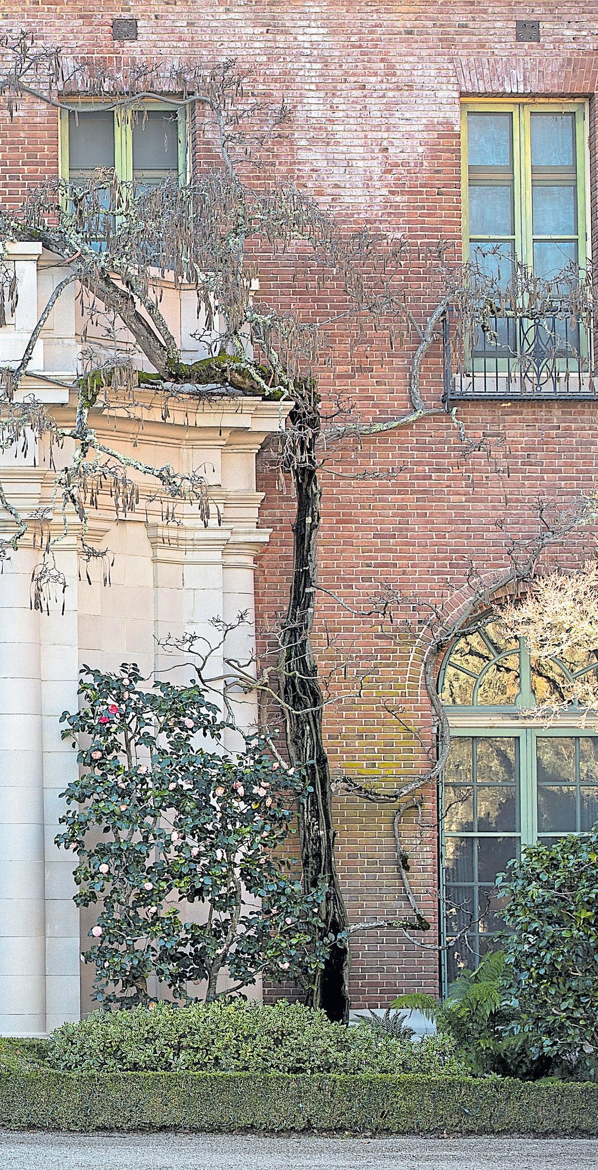
Century-old wisteria: A wisteria planted at the entrance of the mansion, probably when it was built, still climbs up the brick to the roof and drapes down as only wisteria can. Cuttings from the original plant have been rooted and planted around the home.
The back of the house: Although everyone likes to pose in front of the huge front doors, don’t forget to walk behind the house, where there are quiet spots to sit and contemplate the beauty. You’ll find a spectacular view of a meadow full of daffodils in the late winter and early spring, set against a backdrop of the Santa Cruz mountains.
Sunken garden: Continuing around the rear of the mansion, you’ll find the sunken garden. The reflecting pool is surrounded by low hedges and formal beds,
Established in 1890, the Botanical Garden covers 34 acres in what is described as one of the most diverse landscapes in the world. The collection includes more than 10,000 types of plants, many rare or endangered. The plants are arranged geographically into nine regions, from Australasia to South Africa. The garden also offers special events, classes and plant sales as well as live concerts in its redwood grove amphitheater.
Details: Open from 10 a.m. to 5 p.m. daily by reservation ($7-$15) at 200 Centennial Drive in Berkeley; https:// botanicalgarden.berkeley.edu/.
The Ruth Bancroft Garden is a celebration of succulents and other dry-land plants. It was established in 1971 on a prolific family fruit and nut orchard in Walnut Creek, when Ruth Bancroft decided, against the advice of some, to plant her extensive collection of succulents in the ground. The garden now covers 3.5 acres and includes many unique and diverse specimens from around the world as well as California natives.
Details: Open from 9 a.m. to 4 p.m. Tuesday-Sunday at 1552 Bancroft Way, Walnut Creek; www.ruthbancroftgarden.org/. Admission is $5-$12
The 135-acre garden and arboretum feature more than 300 collections of plants from Mediterranean climates, including conifers, primitive angiosperms and bulb-forming plant families from Australia, New Zealand, South Africa and California — collections that include a eucalyptus grove, acacias and otherworldly proteas.
Details: The arboretum is open from 9 a.m. to 5 p.m. daily at 1156 High St., Santa Cruz; https://arboretum.ucsc.edu/. Admission is $5-$10.
This century-old garden was established by San Francisco philanthropists Isabel and Oliver Stine. Isabel was particularly enamored of Eastern culture and modeled the country home after a Japanese style estate. It is part of the National Trust for Historic Preservation. Cradled in the hills of Saratoga, overlooking Silicon Valley, the garden features 18 acres of beauty and tradition and contains some of the original plantings and fixtures from the 1915 Panama-Pacific International Exposition in San Francisco. Its spring cherry blossoms give way to year-round beauty with a blend of nature and art sharing the space.
Details: Open from 10 a.m. to 5 p.m. weekdays, 11 a.m. to 5 p.m. weekends through October (the gardens close at 4 p.m. NovemberFebruary) at 21000 Big Basin Way, Saratoga; www.hakone.com/. Admission is $8-$12.
Filoli Historic House and Garden is open from 10 a.m. to 5 p.m. daily at 86 Cañada Road in Woodside. Admission is $19-$28 (free for children under 5), reservations required; https://filoli.org/.
with plants often based on an annual theme. Some years, the sunken garden has featured rows of tulips and other bulbs. Last year, the space was focused on water-wise gardening, with plantings and pots of succulents, native bulbs and California wildflowers. The display will remain for another year, providing inspiration to gardeners who want a certain amount of formality and structure but want to save on their water use.
Garden House beds: An homage to English cottage gardens, these beds were inspired by a visit Salyards made to the Great Dixter home of famed English garden designer Christopher Lloyd, who was partial to cottage gardens that ran wild. Salyards planted the Garden House beds in a similar style, filling the plots with scatterings of dianthus, coral bells, hellebores, anemones and other plants to attract pollinators.
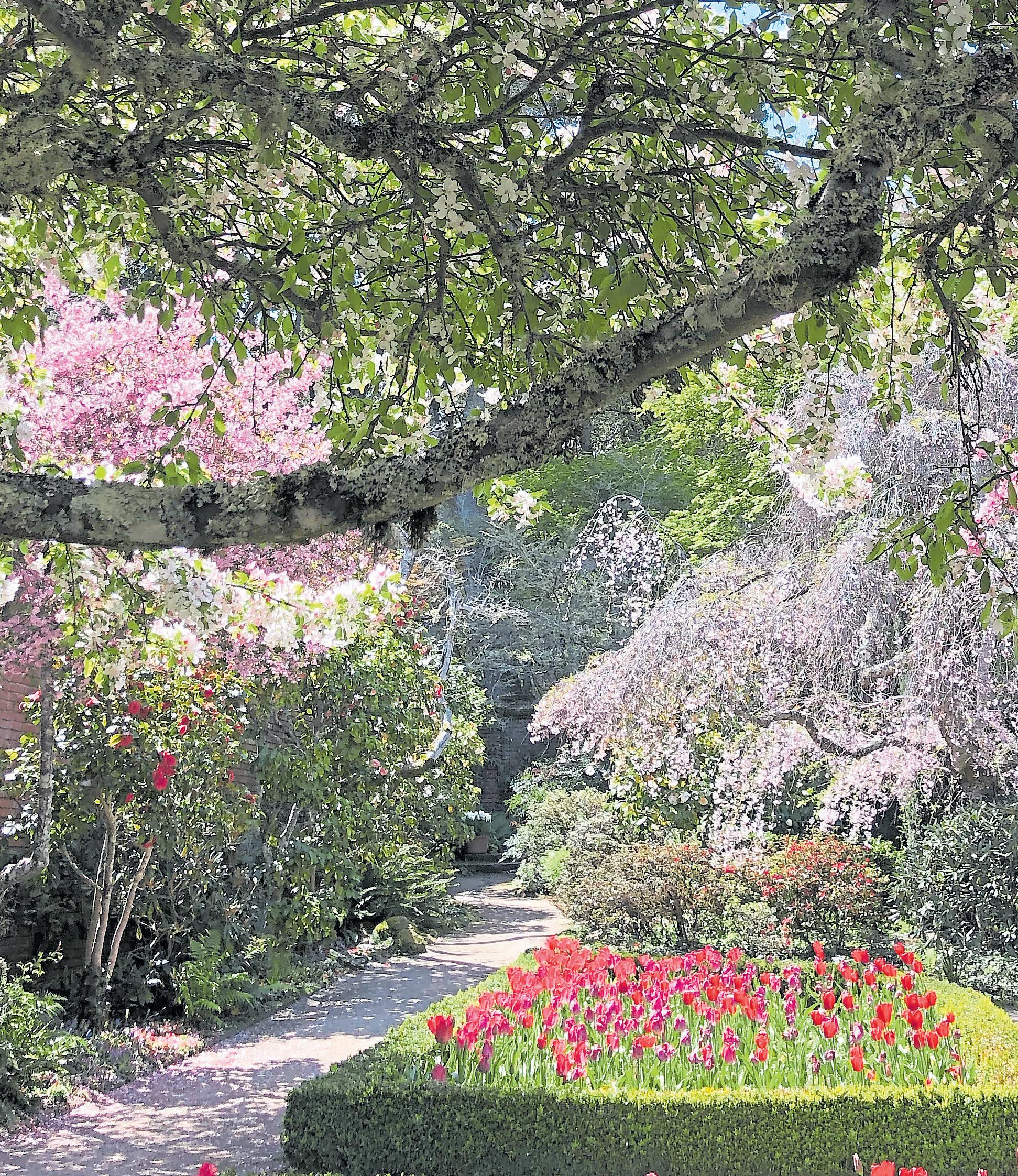
Southern Wall beds: The seven beds are planted in unison — in tulips. Salyards had hoped to create an ombre effect that would lead the visitor’s eye from white to lavender to deep purple. But not being able to count on the bulb providers to accurately label the colors, they’ve settled for a mosaic. Depending on the weather, the blooms can last for up to two months,
but even as the blossoms fade, the surrounding trees — crabapple, cherry and hawthorne — as well as azaleas and camellias provide a colorful show.
Daffodil meadow: The meadow is partly responsible for producing Filoli’s heralded “million blooms.” Located adjacent to the garden orchard, the meadow gently slopes down, and in the late winter and early spring, it’s carpeted with daffodils and naked ladies (of the plant variety).
Garden orchard: Filoli has two orchards — a Gentlemen’s Orchard on the far side of the estate and the garden orchard, which is planted in mostly apples and pears. It also features a spectacular wall of espaliered trees — trees trained to grow along horizontal supports, which is both decorative and useful for ease in harvesting.
Hedge of copper beech trees: This 2-story high hedge and the arched passages that pass through it may be the most misunderstood element in the garden. In the spring and summer months, its burgundy colored leaves cut a startling swath of color through the garden. In autumn, those same leaves turn a shimmering copper color, but the trees have a unique quality — they don’t begin to drop until spring, when the new foliage arrives, something that prompts the garden staff to put up signs assuring visitors that the hedge is not dead, despite its dried appearance. Take a step inside one of the gateways and check out the interior of the hedge. You’ll find thick, muscular tree trunks inside.
Golden Gate Park provides a wealth of recreational and cultural opportunities, but for garden lovers, the three main gardens at the park are what makes the traffic and parking worth all the fuss. The San Francisco Botanical Garden, the Conservatory of Flowers and the Japanese Tea Garden are each worth a daylong visit, but for the ambitious, they can all be visited in a day. And what a visit they are, from the magnificent magnolias of the Botanical Garden to the exotic displays inside the fabulous glass house at the Conservatory and the tranquility and harmony of a Japanese-style garden.
Details: Hours vary by season and garden at Golden Gate Park, 1199 Ninth Ave. in San Francisco. Tickets are available individually ($3-$10) or as a Gardens of Golden Gate Park Pass ($9-$25), which can be used for unlimited visits to all three sites for three days; www.sfbg.org/gggp.
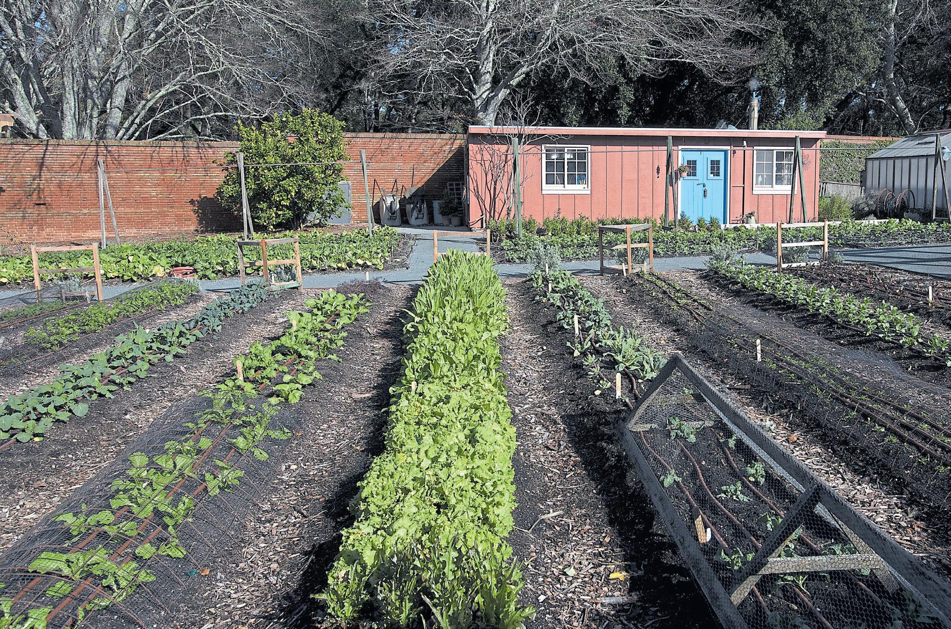
Vegetable garden: For more than 40 years, the vegetable garden at Filoli has been off limits, but it has recently opened to the public. And a special wrought iron gate, fashioned by Toby Sticpewich of Protean Steel, is worth the walk. The gate teases to what’s inside with a display of smooth metal replicas of tomatoes, peppers, zucchini, eggplant and other highly realistic veggies. Inside the gate is an expansive vegetable garden that includes not only the classics but also vegetables that are staples of other countries and cultures.
The Estate Trail: This mile-long trail will take you on a journey through oak and madrone forests, redwood groves and chaparral, and past springs and creeks, a reservoir and cultivated grasslands. The trail also crosses the Fault Creek Bridge, where the North American and Pacific plates meet at the San Andreas Fault.
The house: A visit inside the grand home is always worth the time. And if you haven’t yet gotten enough of growing things, Filoli is celebrating houseplants this year — many you might expect and some you might not have thought of are incorporated into the period furnishings.
Sure, the Bay Area is full of lovely public parks for picnicking. But how many of them offer you 175 acres of lawns, trails and gardens and double as an outdoor art gallery?
That’s Montalvo in Saratoga, where nature lovers and culture vultures converge.
This public gem started out, like so many treasured properties, as the country estate of a wealthy individual — in this case, banker James D. Phelan, mayor of San Francisco from 1897 to 1902 and U.S. senator from 1915 to 1921. He was a progressive Democrat, although he was as widely known for his staunch — and now troubling — anti-Asian immigration views as he was for his support of public works and health projects, women’s suffrage and the arts.
Construction on his Villa Montalvo, a Mediterranean Revival building, began in 1912. From the estate’s completion until his death in 1930, Phelan hosted many literary luminaries, including novelist
Jack London and poet Edwin Markham, as well as Hollywood’s acting elite. It’s fun to know you’re traipsing around the grounds where Douglas Fairbanks, Mary Pickford and Ethel Barrymore set foot a century ago.
After his death, the property became a public park, at his request, with an emphasis on “the development of art, literature, music and architecture by promising students.” And that it has become. Rotating displays of outdoor artwork make every visit a different experience.
Visitors are welcome to bring a basket and a blanket and plant themselves on the Great Lawn for a picnic. You’ll have a magnificent view of the villa and the wooded hills beyond. Then, head out to stroll the grounds and gardens, which were designed by John McLaren, the landscape designer of Golden Gate Park. Check Montalvo’s Art on the Grounds guide so you don’t miss any of the intriguing or whimsical pieces (selfie alert!). And the classic Italianate Garden is lovely.
The picnic: Depending on your route to Montalvo, located off Highway 9, consider stopping at Rose Market (open daily) on Saratoga’s Big Basin Way for a Persian picnic spread with baklava for dessert or Los Gatos Meats & Smokehouse (open Monday-Saturday) for sandwiches. If you plan on heading out on the trails, grab some packs of house-cured jerky to fuel your hike.
The details: The grounds at 15400 Montalvo Road are free to visit from 8 a.m. to sunset yearround with some exceptions for special events; check https://montalvoarts.org before you go. Parking is free, and there are public restrooms in Lot 4.

Extras: If your timing is right, you can feed your soul with live music, theater or an expert lecture at one of the scores of performances held each year. This spring, the 300-seat Carriage House Theatre will host Mark and Maggie O’Connor of bluegrass fame on March 24, country singer-songwriter Lacy J. Dalton on April 14, Brazil’s B2wins May 12, Second City Remix comedians on May 24 and others before Montalvo launches its summer season of events.
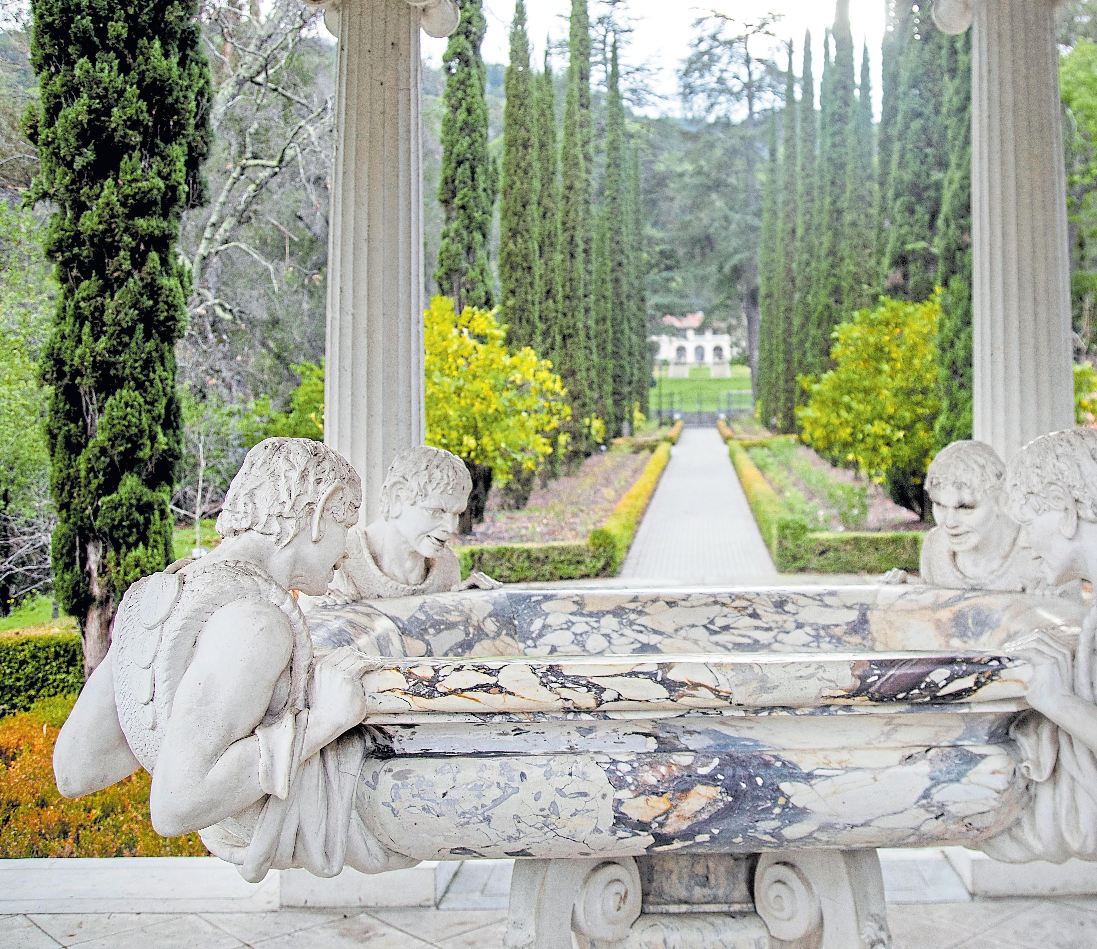
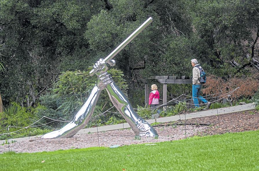
Left: Satyrs leer in the Love Temple at the Montalvo Arts Center in Saratoga. Above: Hank Willis Thomas’ stainless steel sculpture “Strike,” depicting an encounter between a protester and a policeman, gleams on the Grand Lawn. KARL MONDON/STAFF

 BY JOHN METCALFE
Westerners brought many things when they came to the Bay Area, technology, new religion and massive greed. Among these was paranoia — a fear of others slipping in and disrupting the nice life they were making.
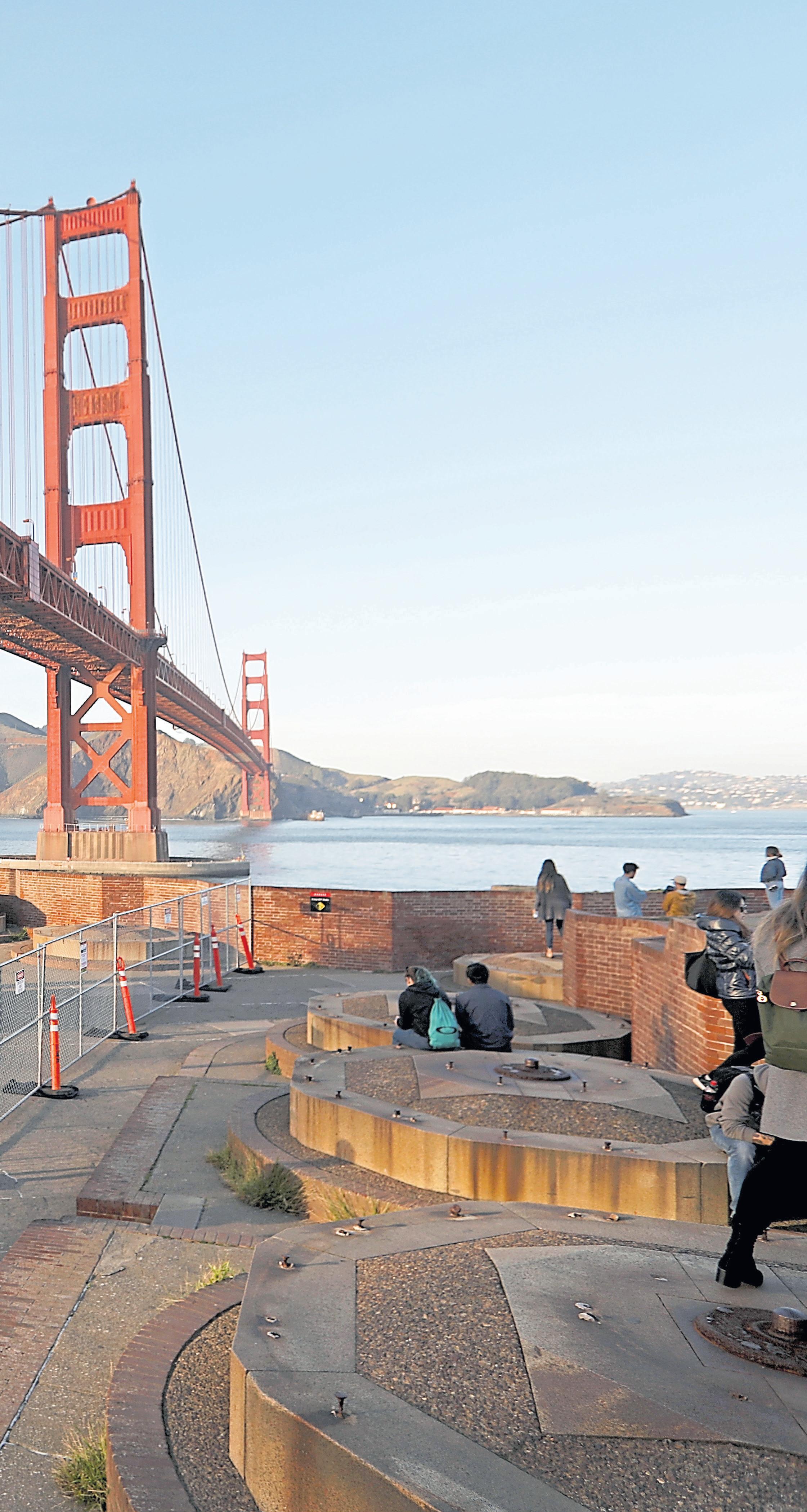
The focus of this paranoia was a mile-wide strip of water below what’s now the Golden Gate Bridge. If you look at a map of the San Francisco Bay, it’s like a vast front door left open to anybody who wants to cruise in and poke around. Early on, the concern was a British invasion. Then it was the Confederate States Navy — it existed and not just in the South — and then Japanese and German forces during World War II.
Several measures were proposed to guard this entrance. A never-realized idea from the 1860s was to string a cable all the way across the water to clothesline ships, professional-wrestler style. There actually was a physical barrier during the 1940s — a retractable metal-mesh net — to snag intruding U-boats. None was ever found in the Bay, so supposedly it worked, no doubt to the annoyance of larger marine mammals.
The most practical solution was a fort. The Spanish, realizing the narrows were key to controlling the region, built one called Castillo de San Joaquin in 1794. It was a funny-shaped adobe structure that could rain down fire from a perch roughly 100 feet above the water. When the Americans captured California in the mid-1800s, they wanted a fort closer to water level to bounce cannonballs over the waves like deadly skipping stones. Hundreds of workers — many of them miners who got skunked in the Gold Rush — physically lowered the ground, excavating the building site to just above Bay level.
Thus was born Fort Point, now a U.S. National
Historic Site, an enormous expanse that invites exploration outdoors — on the grounds, atop the rooftop where cannons were once mounted and in the open air parade grounds at the fort’s center — as well as inside.
The four-story building, despite being made from millions of bricks, looks rather humble in the bridge’s massive shadow. But in its time, it was a mighty presence, one that might make a Confederate soldier wet his trousers.
“This was the only fort of its kind built west of the Mississippi,” says John Martini, a retired National Park Service ranger. “There were about 40 forts built with this general design scheme, but they were along the Atlantic and Gulf coasts. That the government spent money to build a cutting-edge coastal fort way out here in the wilds shows the importance of California during the Gold Rush.”
Martini knows the fort well, having worked there in the 1970s and written two historical books about it. “The idea was to build multiple-story forts, so that cannons could be stacked one upon the other to maximize firepower,” he explains.
The fort employed four types of uniquely devastating cannonballs. The first was a plain ol’ hunk of iron that flew at a thousand feet per second to smash through the oak walls of warships. Another was a metal eggshell filled with powder that could explode into shrapnel, and a third was a sack of grapeshot that tore up rigging like a giant shotgun blast. The last was also solid iron, but heated until red-hot in a furnace so it would light ships on fire.
Cannonballs from enemies would simply ricochet off the fort’s five-foot-thick carapace. It was both a formidable defense and, to this day, an enduring example of the mason’s art.
“They didn’t have diesel-powered machinery swinging around the blocks of granite. It was all
Admission is free at Fort Point, which is open from 10 a.m. to 5 p.m. Friday-Sunday (roof access closes at 4:30 p.m.), with ranger talks offered at 11:30 a.m. and 1:30 p.m. The fort exterior can be accessed seven days a week. Find the fort at Long Avenue and Marine Drive in San Francisco; www.nps.gov/fopo/.
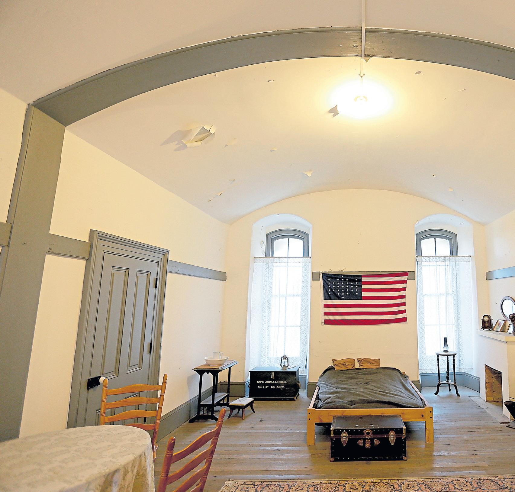
done with portable cranes and either strong backs or wheel power. The fact they were able to build the thing as fast as they did — they started in 1853, and it was almost finished in 1861, when the Civil War began — is remarkable,” says Martini.
“I’m such a nerd,” he adds, “that I walk around looking at the arched ceilings and notice how the bricks were hand-cut at very specific angles to form intricate arches. It was done without electrical or hydraulic machinery and was just laborious. I don’t think it’s a craftsmanship we see much of nowadays.”
During the Civil War, the fort was occupied by dozens of soldiers, cooks, surgeons, laundresses and prisoners with 12-pound balls attached to their legs. By most accounts, it was not a nice place to stay. A contemporary sanitary inspector wrote:
“This Fort, as is well known, consists of a mass of granite and brick, situated at the entrance of the Golden Gate, presenting a bold front to the Ocean. And while its massive walls afford safe protection to its big guns, its interior arrangements offer but a cold and cheerless habitation to the soldier.”
Dense fog enveloped the grounds for 260-plus days a year. It kept the walls damp and the floors puddled with water. Soldiers tried to stay warm by
Hankering for outdoor experiences that offer the wonder of the past? You’re in the right place. California is home to the largest state park system in the country, including about 50 that are designated as historic. Here are some historic state parks you might want to visit, all within striking distance of the Bay. Find maps, history and more details for each park at parks.ca.gov.
If you wondered where the Pigeon Point moniker originated, this stretch of San Mateo County coast was named for a clipper ship, the Carrier Pigeon, which wrecked in dense fog in 1853. (Another vessel sent to save her also nearly sank.) Enter the Pigeon Point Lighthouse, meant to guide sailors along the Central Coast and formally lit in 1872 on, of all things, the power of the pig — its lamp burned lard oil. The park’s a great place to admire one of the finest lighthouses in America, as well as the keeper’s office and signal building with fog-horn trumpets. It’s a great place for birding and whale watching, too.
Open daily from 10 a.m. to 4 p.m. (grounds open 8 a.m. to sunset) at 210 Pigeon Point Road, Pescadero.
The centerpiece of this spot celebrating indigenous Miwok life is a massive rock whose indentations were used mortarand-pestle style to pulverize acorns into grain that was then cooked into nutritious mush. The grinding rock, the largest in North America, is only one of two known to be decorated with petroglyphs — wavy lines and animal tracks that could date back 3,000 years. Visitors can walk through a reconstructed Native American village with a ceremonial roundhouse, camp inside bark houses and experience a nature trail where (according to the park) the “legendary coyote — the trickster of Miwok legend — can be heard singing on quiet summer nights.”
Open daily from 10 a.m. to 4 p.m. at 14881 Pine Grove-Volcano Road, Pine Grove; $8 vehicle-entry fee.
For soaking in the old-timey vibes of the Gold Rush, there’s no better place than this large (and still vibrant) mining town from the 1850s. During its heyday, it was the second-biggest settlement in the state, pulling out more than $1 billion in today’s value in gold. Today, visitors can enjoy its restaurants and historic saloons, take stagecoach rides, dip candles and pan for gold and gemstones — and if you visit on the second Saturday of each month, you can chat up Gold Rush reenactors in full regalia.
Exhibits are open daily from 10 a.m. to 4 p.m. (merchants usually until 5 p.m.) at 11259 Jackson St. in Columbia.
Want to see a mission that’s served Mass since about 1800? It’s right next to this lovingly preserved town center and bustling crossroads that dates back to the Spanish and Mexican eras. The mission was designed for converting Native Americans — not a great look nowadays — but it has fun aspects like choir books penned by a famous priest-musician and a “cat door” to help eliminate food-stealing mice. At the park, you can see an old hotel and stables, a jail and blacksmith shop, the adobe home of an early Californian Comandante General and a horse-drawn “beer wagon” for hauling kegs of Wieland’s extra-pale lager.
Open daily from 10 a.m. to 4:30 p.m. at 19 Franklin St., San Juan Bautista; $3 admission fee.

Fans of Jack London or just nature in general will enjoy visiting lovely Sonoma Valley to see the author’s home and ranch (he had an interest in breeding prized livestock). He spent his final years writing here, and after he was cremated in Oakland, his ashes were interred under a large rock. People can see that gravesite today as well as his wood-framed cottage and ruins of his larger house, which mysteriously burned down (perhaps from oil-soaked rags spontaneously combusting). On some weekends, volunteers tickle the ivories on the 1901 Steinway grand piano that belonged to London’s wife, Charmian.
Open daily from 9 a.m. to 5 p.m. at 2400 London Ranch Road, Glen Ellen; $10 vehicle-entry fee; jacklondonpark.com
Far left: Infantry soldiers slept in chilly barracks, while the considerably cozier quarters shown here were reserved for officers. The Fort is part of the Presidio, a military stronghold used by Spain, Mexico and the United States, which became a national park in 1994.
Left: Visitors stroll through the Presidio’s Fort Point, where you can catch a glimpse of Civil War-era life.
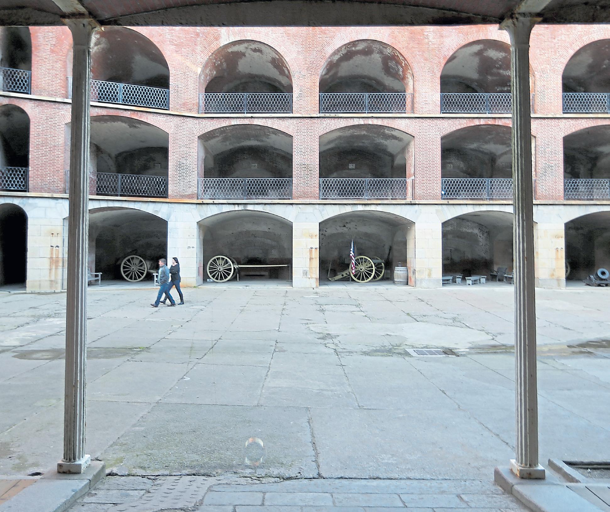
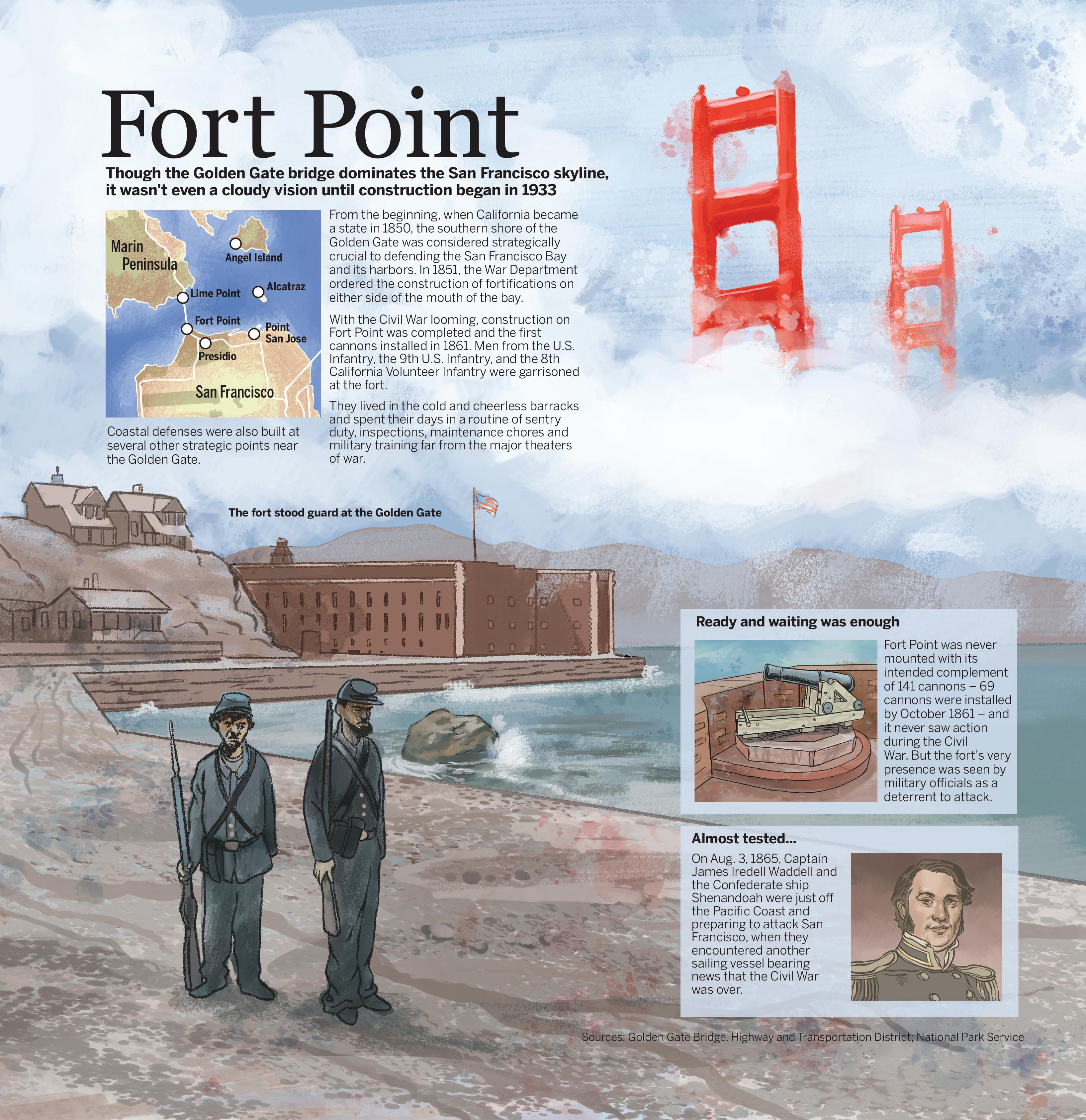 ILLUSTRATION
BY JEFF DURHAM
burning fires with wood carried in from the Presidio. Nevertheless, the persistent clamminess — not helped by straw-filled beds and blanket rationing (one on your first year of enlistment, a second in your third year) — led to bronchitis, rheumatism, diarrhea and catarrh, aka an excess of mucus.
“They would’ve worn a wool cape and sometimes, they’d have whale skins to wear or the Civil War kepi (hat) with a rainproof cover,” says Martini. “But even when it’s rainy, you have to keep walking, just keep slogging.”
What was the result of their vigilance? Well, Fort Point and other batteries on the hills and atop Alcatraz Island famously never fired a shot in anger. Its mere presence, however, was seen by military officials as a deterrent to incursions. While paranoia was high when it was manned periodically from the Civil War through World War II, those fears were not unfounded.
In 1863, the United States captured a Confederate privateer prowling the area, presumably to steal gold shipments. And there were definitely Japanese submarines off the coast. “There was one somewhere between the Cliff House and the Farallons,” says Martini. “It had orders on Christmas Eve of 1941 to surface and, using its deck guns, just randomly shell San Francisco as a terror move. It never did — it got a recall order many hours before the shelling began, so they just returned to Japan.”
The threat level around then was so great, it might have affected the whale population. “The Navy used to run blimps, loaded with depth charges, patrolling off the coast looking for submarines. Based on a few reports, some whales might have met their end that way. When you consider everybody’s war jitteriness, and you consider a big, gray object just off the coast, it’s possible.”
The fort’s purpose as a functional defender of the Bay was short-lived. Around the beginning of the Civil War, cannonballs became obsolete, replaced by pointed artillery that was extremely accurate and could drill through masonry walls. After its service in WWII, the fort became a military warehouse and then in 1970, a designated historic site, with subsequent appearances in films, including 1985’s James Bond flick “A View to a Kill” and 2014’s “Dawn of the Planet of the Apes.”
Today, Fort Point remains a crucial item to cross off your Bay Area bucket list. Admire the impressive architecture and self-standing spiral staircases, gaze at the underbelly of the Golden Gate Bridge, throw a shaka sign to the surfers and sea lions offshore and ponder a soldier’s life way back when.
“I always asked people when they’re there, especially when it’s a gnarly weather day, to think about what it’d be like to stand patrol on the top tier,” Martini says, “walking post for four hours at a stretch, waiting for an enemy that never came.”
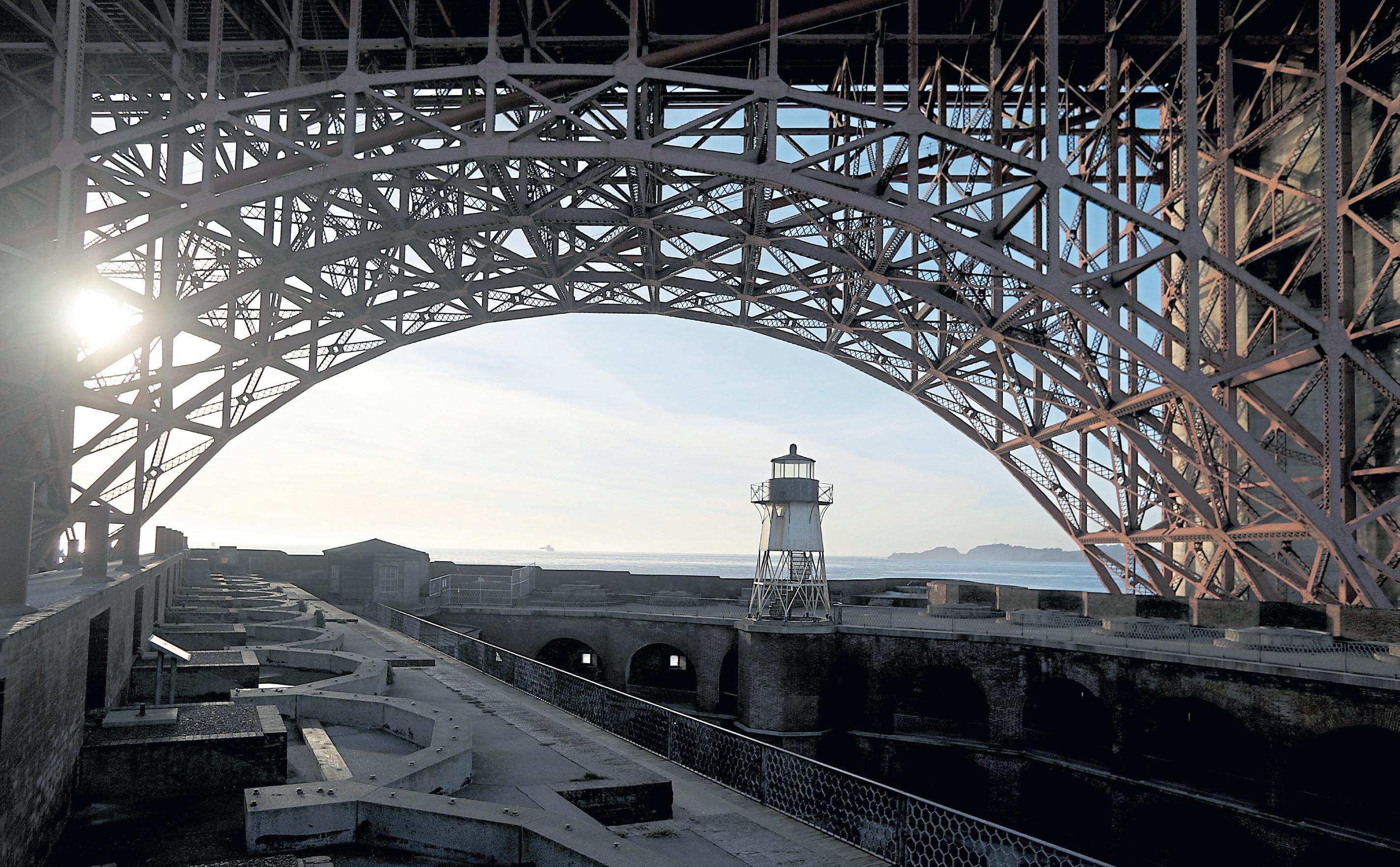
The perfect picnic
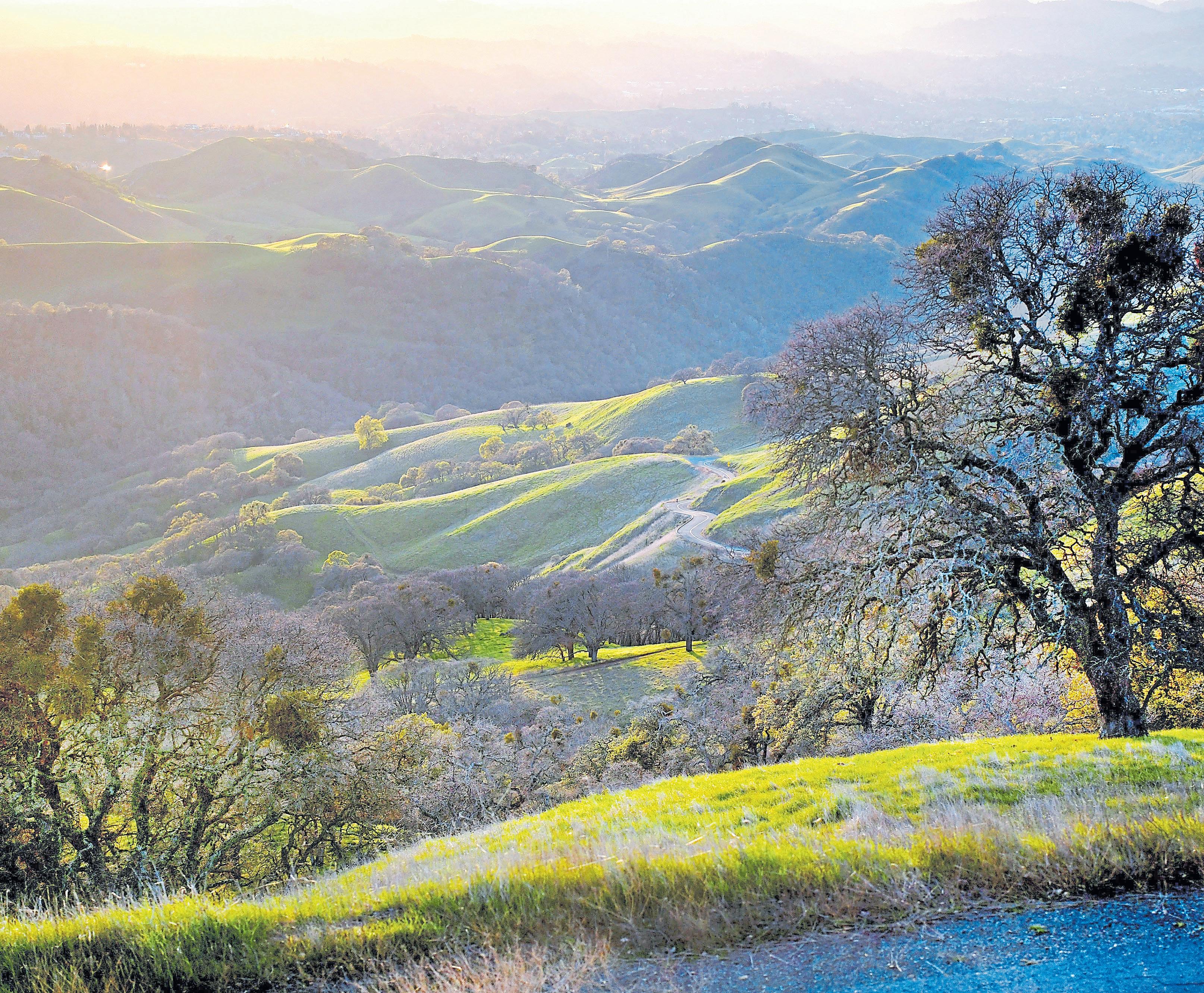
Heading up the twisty mountain road that winds up mighty Mount Diablo is enough to make you lunge for a thesaurus. How many ways can one say “hairpin curve” or “twisting road”? The coiling road, the enfolding curves, the — it’s twisty, people. Best to gaze out at the spectacular views, instead, and ignore the convolutions, because endless horizons await.
At 3,849 feet, Mount Diablo may not be the highest mountain in the Bay Area — that honor goes to Santa Clara County’s Mount Hamilton. But from the summit on a clear day, you can see all the way out to the Farallon Islands, north to Mount Lassen, south to Hamilton and Loma Prieta and see 40 of California’s 58 counties. You can catch a glimpse of early aviation history, too.
Commercial aviation was still new back in 1928, when a navigation beacon was placed atop the mountain. Charles Lindbergh had made his historic solo Atlantic crossing the year before. San Francisco Airport was celebrating its first anniversary, and Oakland Airport had just opened, when Standard Oil erected “The Eye of Diablo” on a steel tower atop Mount Diablo to help guide aviators to the Bay Area. And it was Lindbergh who flipped the Mount Diablo switch — remotely from Denver — illuminating a beacon that could be seen for 100 miles.
The beacon was moved to the top of the mountain’s historic stone Summit Building, when it opened in the late 1930s, and it remained brightly lit until Dec. 8, 1941, when the West Coast went dark in the wake of the bombing of Pearl Harbor. Today, the building houses a visitor center and museum, where you can explore the park’s geology, its Native American history and diverse ecosystems. As you climb the circular stairway to the observation deck, check out the walls made from the park’s sandstone: Ancient marine fossils were embedded in that rock 16 million years ago.
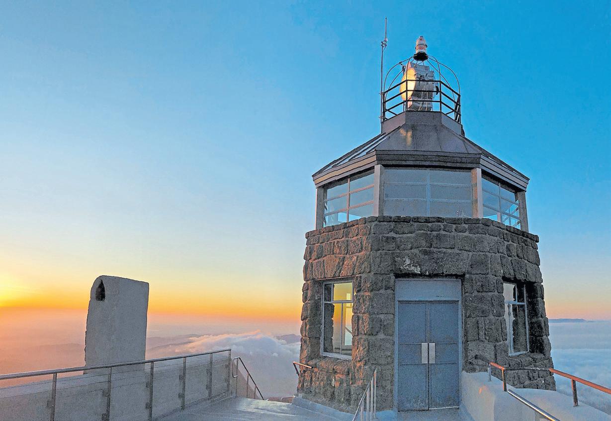
Take in the incredible views, then head for the Mary Bowerman Trail just below — the trailhead is at the lower summit parking lot. Named for the botanist and co-founder of Save Mount Diablo, this easy, flat ¾-mile loop circles the summit, and the first portion, all the way to the Ransome Point Overlook, is ADA accessible. Then grab a picnic table near the trailhead and spread out your alfresco fare.
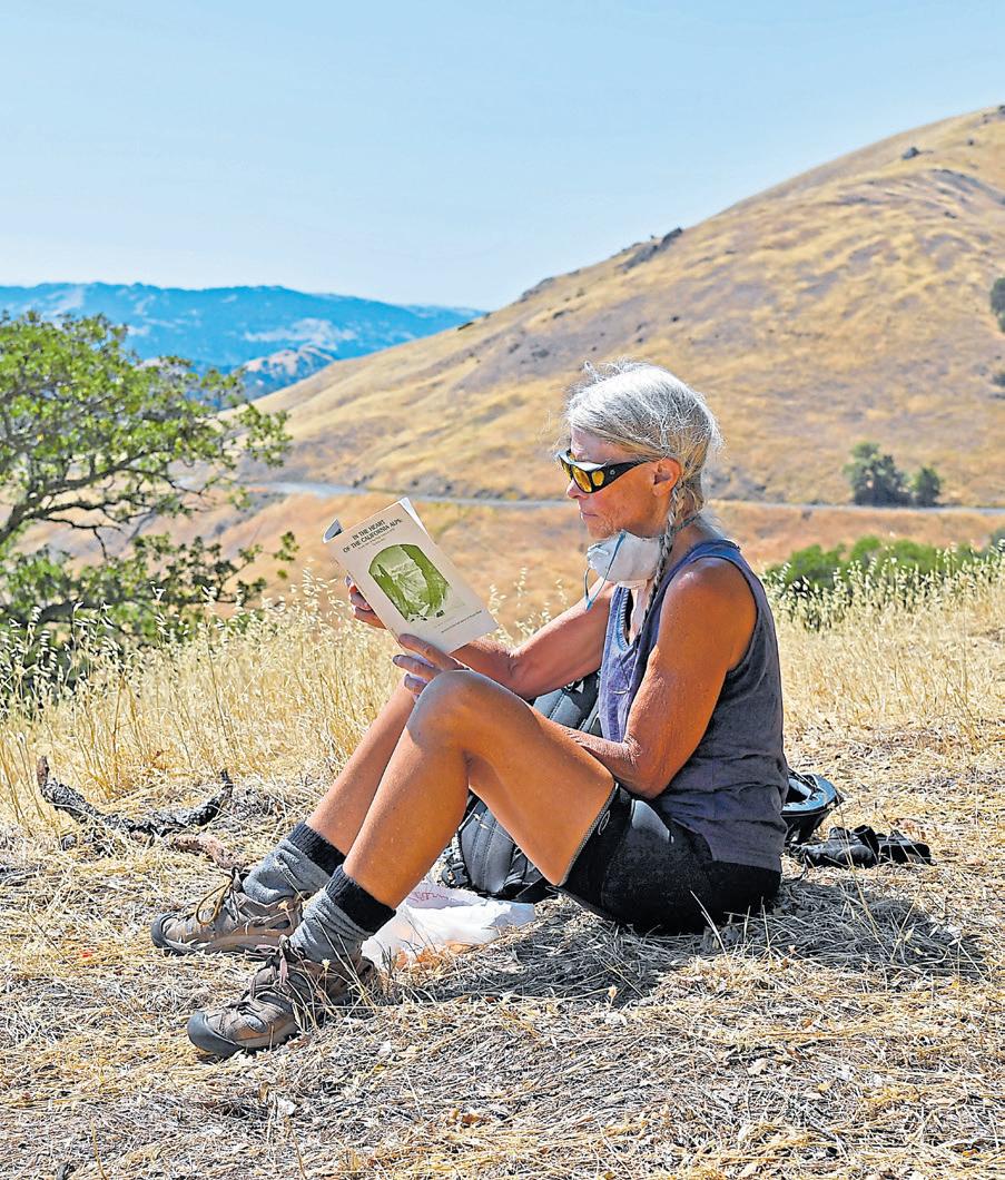
The picnic: Pick up a prosciutto-laden Mama Mia sandwich or a veggie Verdure at Walnut Creek’s Genova Delicatessen just a few miles from the park’s North Gate. Or detour to Morucci’s, the popular sandwich shop tucked at 1218 Boulevard Way near the junction of highways 24 and 680 — to grab a cult-fave 6¾: turkey, Caprese and pesto on ciabatta. Entering the park from the South Gate instead? Danville’s Domenico’s Delicatessen is a primo pick.
The details: Mount Diablo State Park is open from 8 a.m. until sunset daily ($10 vehicle fee), with vehicle access at the North Gate (1300 North Gate Road in Walnut Creek) and South Gate (2675 Mt. Diablo Scenic Blvd., Blackhawk). The Summit Museum is open from 10 a.m. to 4 p.m. Find trail maps and check for road closures at www.parks.ca.gov. Find museum information at www. mdia.org/summit-museum.
Extras: Save Mount Diablo offers guided walks on topics that range from wildflowers to newts and peregrine falcons. As for the famous beacon, it’s illuminated every year on Dec. 7 to commemorate the veterans who served in WWII.

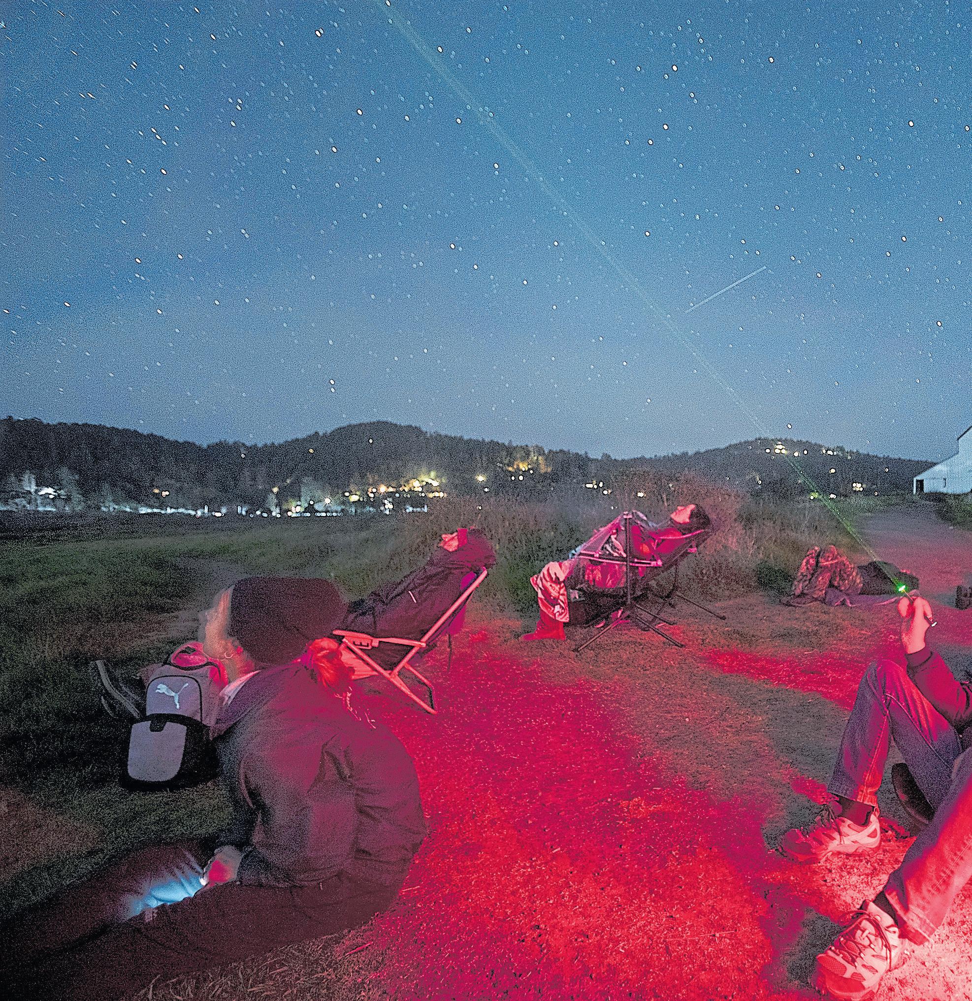 BY LISA KRIEGER
Ayear ago, I took the biggest leap of my life: I left Silicon Valley and moved to a rural home with a wood stove, a sweeping view of Tomales Bay and easy access to the wilds of West Marin. It’s what I have wanted since before I can remember.
That one swift decision kicked off countless painstaking ones, forcing me to reevaluate just what, exactly, is valuable. I’ve traded a life of culture and convenience for different joys, such as hiking, swimming, photographing wildlife and connecting to the ancient rhythms of tides and sky.
Here on the edge of Point Reyes National Seashore, in a wild landscape of old forests and pristine beaches, are a few of my favorite things.
Majestic, slow-moving tule elk, numbering in the thousands, are the Seashore’s signature wildlife viewing opportunity. They were hunted to near-extinction in the Civil War era, but the 2,781-acre Tomales Point Reserve has helped their numbers rebound.
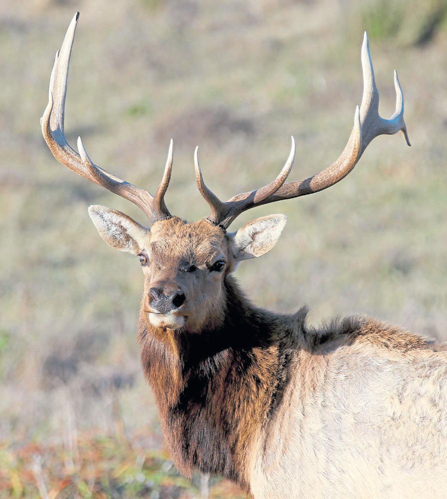
They’re easiest to spot along Tomales Point Trail, an
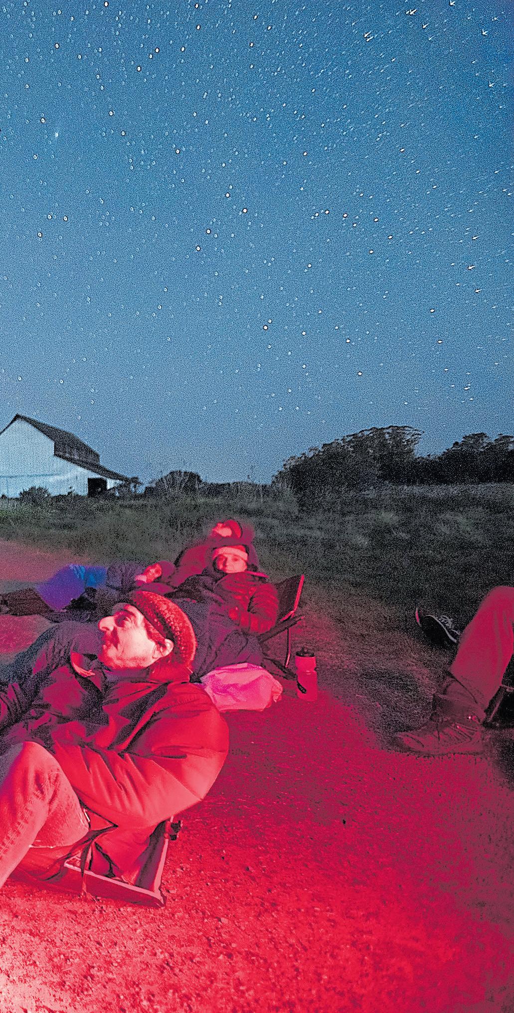
out-and-back hiking route which follows the crest of an open ridge along an old ranch road. The trail winds up and down along a narrowing peninsula, ending where two magnificent bays — Tomales and Bodega — meet.
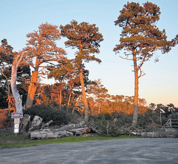
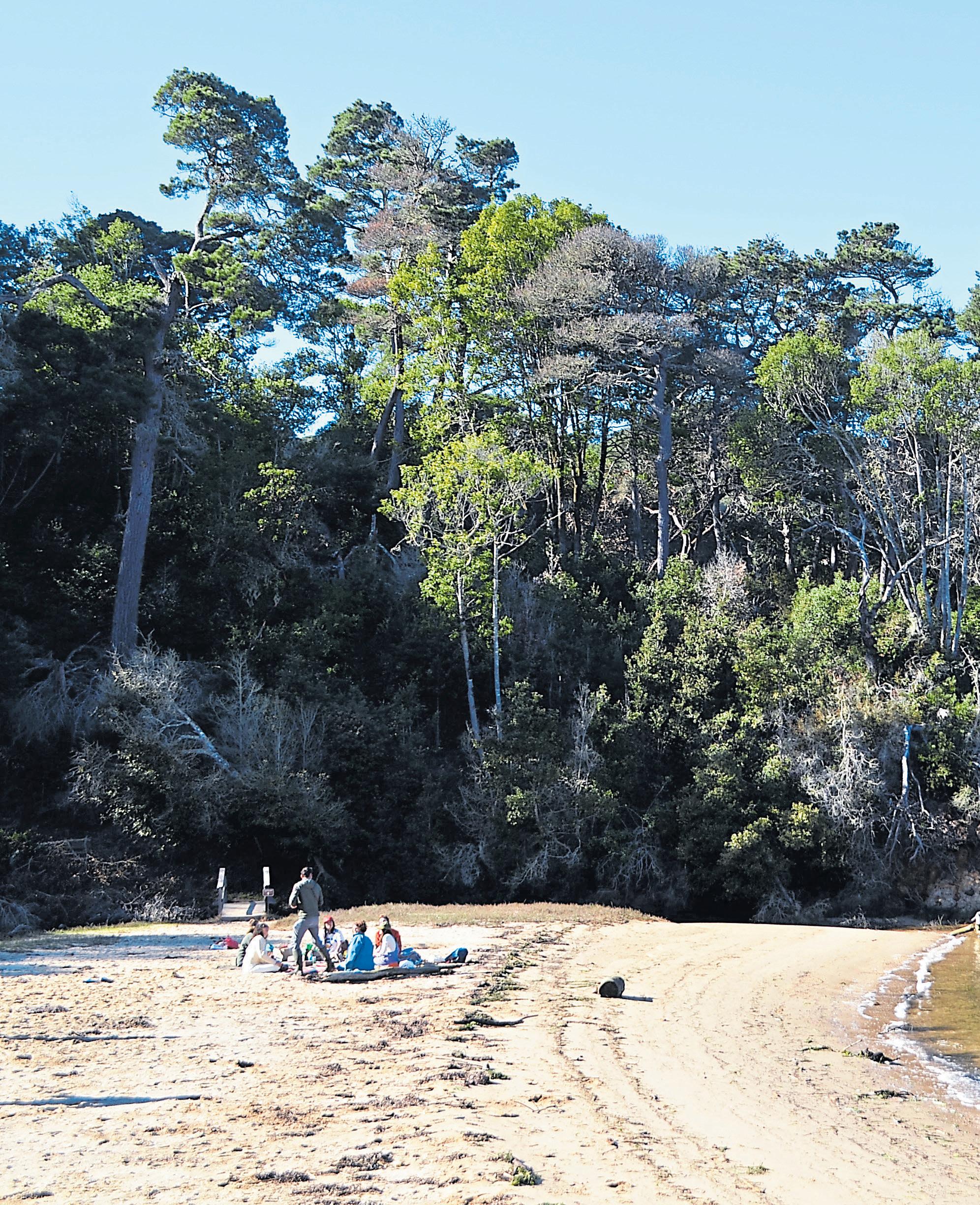
Some elk herds are entirely bulls, with necks and humps that swell in late spring to make the animals look fiercer and larger. Others are all cows and calves. The sexes live separately for most of the year, but by late summer, they begin to mix, with bulls competing for cows by sparring violently with clashing antlers and “bugling,” a deep sound that can resonate in your bones.
The first mile of this trail is level and broad, with stellar views looking west over the Pacific Ocean. Your first elk sighting will likely be about a mile into the hike, when the trail drops into a saddle called Windy Gap and animals often gather at a perennial spring in the gulch. If they’re not there, keep walking for another mile — the trail ascends and then drops down to a stock pond at the long-gone Lower Pierce Point Ranch.
If you’d like to see ducks and seabirds, continue all the way to the tip of Tomales Point. The trail, which wanders through coastal scrub, is unmaintained, sandy and often overgrown, but you won’t get lost. Myriad paths weave and connect, ultimately merging into
one route along the last half mile. Sit and watch the choppy waves or lie back and feel the gusts. Dress warmly in long pants and long sleeves and plan to stay awhile. It’s the perfect place for a picnic lunch.
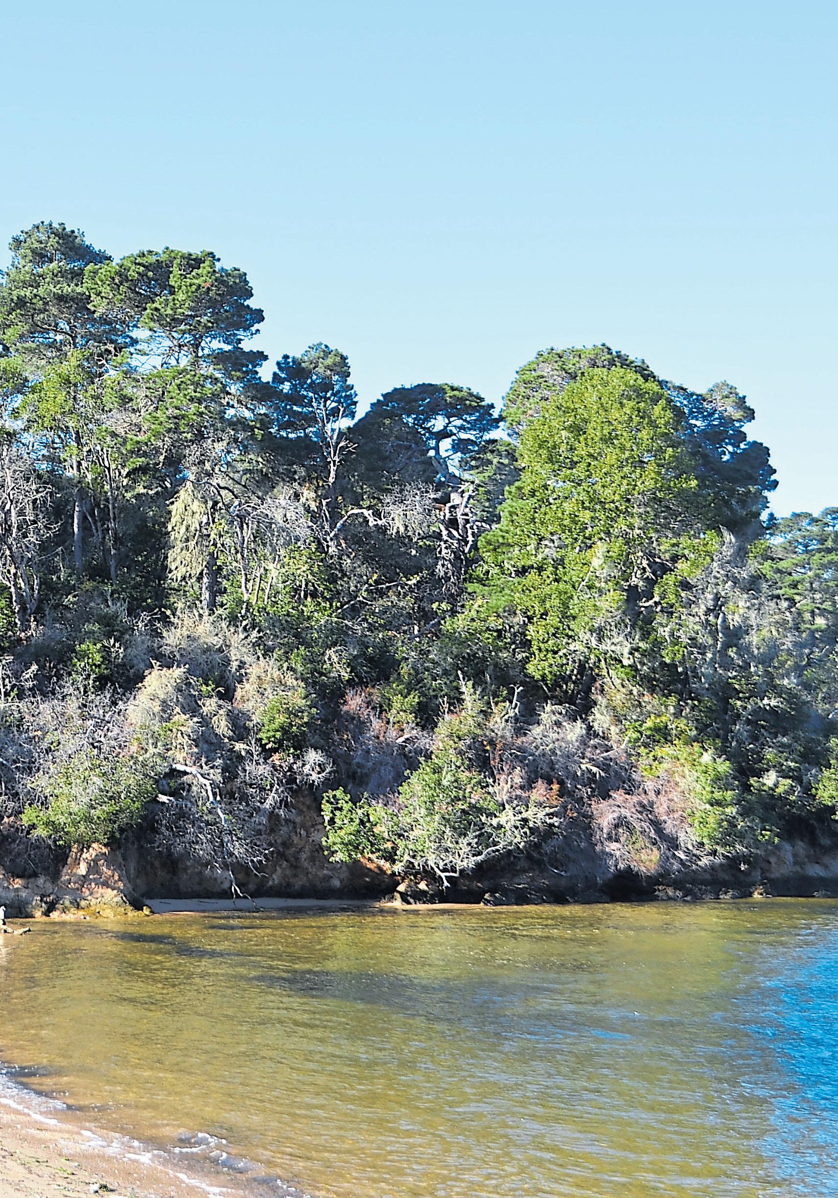
How to get there: The Tomales Point Trailhead starts at the end of Pierce Point Road. Spring, fall and winter are the best seasons to visit. In the summer, fog can limit visibility and fierce afternoon winds make the hike more challenging. Allow 40 to 60 minutes to hike to Windy Gap and back, two to three hours to hike to the Lower Pierce Ranch site and back, and four to five hours to hike to the end of the Tomales Point Trail and back.
My favorite night of the month is spent with local astronomer and storyteller extraordinaire Don Jolley in a field near the Giacomini Wetlands, on the edge of downtown Point Reyes Station. Wrapped in a blanket on a lawn chair, hot drink in hand, I stargaze and hear Jolley’s spellbinding stories about the science and mythology of billions of celestial bodies.
To gaze at the West Marin sky is to see sights hidden to the rest of the Bay Area. If your back is turned to the horizon’s glare of Highway 101, it’s possible to view

2,000 stars. Want to stay out all night? As the Earth rotates, the number soars to 6,000. You can even see the soft spectacle of the Andromeda galaxy, 2.5 million light-years away and the most distant thing visible to the unaided eye.
The monthly event is part of the community’s growing effort to boost public awareness about the importance of night skies. Far from the Bay Area’s growing glow, Point Reyes has applied to become an official International Dark Sky Reserve – a cherished status shared by fewer than two dozen places on Earth.
The tricky part is timing. The event is always about an hour after sundown and during the darkest week before the new moon — but the exact date is always determined by the fog. Go to https://darkskypointreyes.com/ for the announcement of the precise date.
Can’t make it to the star party? Head to Limantour Beach, which has the Park’s darkest and most unblemished sight of the heavens.
How to get there: Park at Third and C streets in downtown Point Reyes Stationand follow the candles to find the stargazing party.
I’ll never be a jellyfish. But every summer evening, I get to float among the graceful “blooms” of these alien-looking creatures, named for their translucent, moonlike shape. They don’t sting, but it takes mental discipline to stroke calmly past their fleshy bodies, feeling them brush against your skin.
Sometimes, they’re scarce; other times, abundant. Swimming in the sheltered coves of Tomales Bay is always a different adventure. Depending on tides and winds, the water may be calm or choppy, turquoise blue or slate gray.
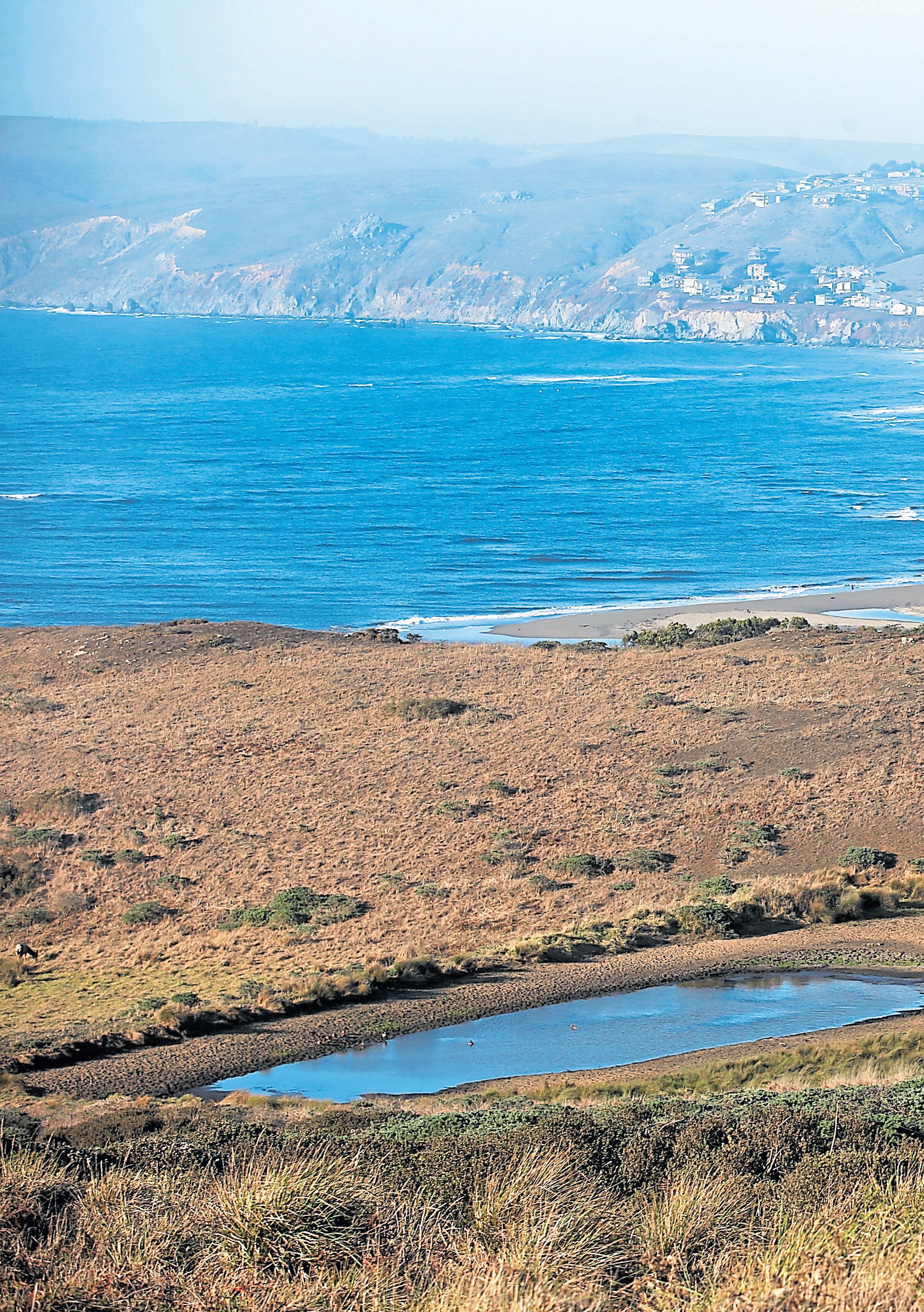
Nervous about open water swimming? Start where it’s shallow and always swim with a friend. In deeper waters, you can flip onto your back, relax and regroup. Practice “sighting,” lifting your head every so often to check in and course correct. Swim towards a destination: Thanks to Marshall Livingston, an Inverness resident and regular Bay swimmer, the buoys and rafts at my two favorite beaches — Heart’s Desire and Shell — are back in place after two years of storage.
The water is always chilly, so bring hot tea and a jacket to throw on immediately after getting out of the water. The experience will make you feel brave, invigorated and attuned to the pulse of the Bay as an echo of your own.
How to get there: Hearts Desire Beach, 1100 Pierce Point Road, Inverness; www.parks.ca.gov
Grand redwoods and Douglas fir trees get all the fanfare. But my heart belongs to the gnarled and ethereal Bishop pine trees of Tomales Bay State Park.
Once widespread throughout the coastal West, they now survive only in isolated relict stands. This small
state park, often overlooked by visitors to the National Seashore, hosts one of the most extensive and picturesque groves of Bishop pine in the world. They are unique to granitic quartz-diorite soils.
My favorite route is the Johnston/Jepson Trail, a 2.6-mile loop. But you can also find them anywhere along the northern end of Inverness Ridge, such as the Drakes View Trail.
On a warm day, the aroma of the pine forest is a deeply nostalgic experience. I scan the trees for forest-loving birds, such as the hairy woodpecker, pileated woodpecker and Northern flicker. In addition to the pines, there are other evocative plants, such as evergreen huckleberry, golden chinquapin, California aster, orange bush monkeyflower and a rare type of manzanita found only in coastal Marin.
How to get there: Johnston/Jepson Trailhead, Tomales Bay State Park, 1100 Pierce Point Rd, Inverness
(Turnout on Pierce Point Road, one-tenth of a mile east of the entry to Tomales Bay State Park at the Johnston Trailhead.)
West Marin lies beneath the Pacific Flyway, a great artery of aerial migration. Every year, hundreds of bird species pass through — and many of them land at Point Blue Conservation Science’s Palomarin Field Station, based in Bolinas.

This wooded sanctuary serves a dual purpose. It’s a refuge for these winged migrants who travel north along the coast. And it also offers researchers the perfect spot for banding, part of a worldwide scientific effort to monitor the movements, distribution and life span of these magnificent creatures. As one of the most established field stations in Western North America, the 56-year-old facility has made important contributions to the fields of ornithology, ecology and conservation.
To watch, call or email for an appointment for a bird-banding demonstration. Visitors can join young Field Biology interns on their morning walks to scan the mesh nylon nets, called ‘’mist nets,’’ which are used to capture the birds. The nets stretch for hundreds of feet around the site and must be checked often, for the trapped birds can become easy prey for hawks and other predators.
The biologists hold the captured bird gingerly, smoothing its ruffled feathers with a finger. Then the bird is weighed, measured and fitted with a small colorful band, making it an unwitting participant in scientific study.
While visiting, be sure to take a walk on the wild side — an easy nature trail drops down into little Fern Canyon, where you can spot on your own such birds as wrentits, song sparrows, whitecrowned sparrows, spotted towhees and California quail.
How to get there: 999 Mesa Road, Bolinas. (415) 868-0655 https://www.pointblue.org/about-us/contact-visit-us/

Picnics are one of life’s many simple pleasures, but don’t confuse simple with boring. A picnic can be its own great adventure, especially when you have the opportunity to have one at a naturally, culturally and historically rich destination like Angel Island.
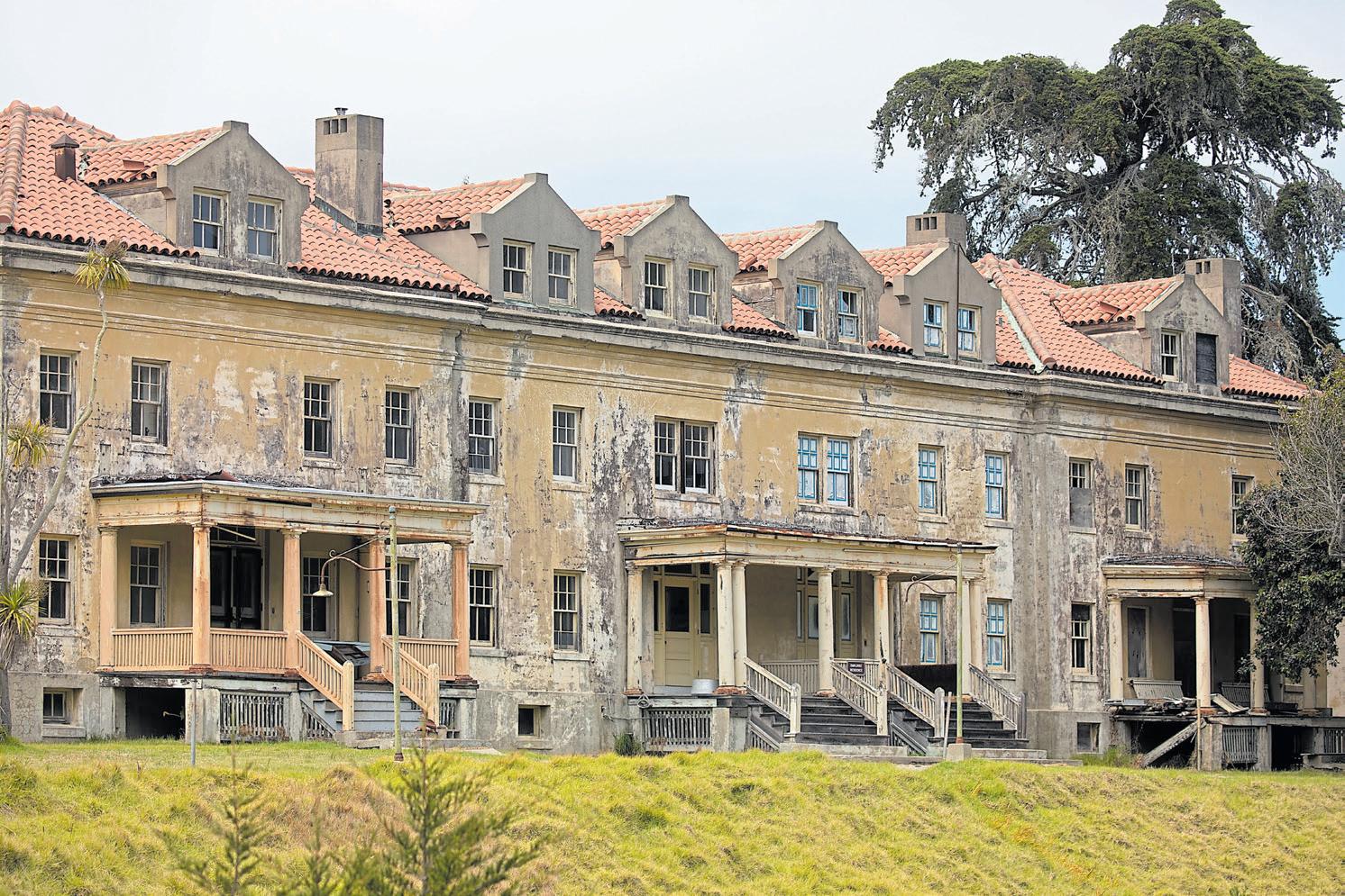


Just inside the Golden Gate, amid sparkling waters and facing the California coastline, sits the San Francisco Bay’s largest natural island. It’s an everyman’s island getaway, an ideal spot for a Bay Area mini-vacation that won’t set you back an entire paycheck or even more than a day. Angel-goers can stroll the island’s ring road, take a hike through the wilderness or just sit and relax on one of the island’s many beaches or picnic areas, all the while enjoying breathtaking 360-degree views of the Bay.
While the island has hosted visitors for relaxing day trips and sightseeing excursions since it gained official California State Park status in 1963, there were many who came long before the tourists you see roaming the grounds today. Some of the island’s oldest settlers, the Coastal Miwok people, reached its shores about 3,000 years ago, using the ecologically vibrant environment as a hunting, fishing and camping site for the tribe.
Flash forward a few millennia, and humankind found new purposes for the land. In 1863, the island became home to Fort Reynolds, a Civil War army base. In the late 1890s, the island saw the rise of a crop of gun batteries as well as the Fort McDowell quarantine station for sick troops. And from 1910 to 1940, the island acted as a U.S. immigration station, earning it the unofficial title of the “Ellis Island of the West.” These historic sites are all still standing, and island visitors are welcome to wander and explore their remains — and tour the Immigration Station and Barracks museums, too — while making their rounds around the island.
However, if you just want to find a nice spot for a quiet island repast, there are picnic-perfect grassy areas and picnic tables outside the Immigration Station and Fort Reynolds as well as grass patches and benches near the visitors center and ferry dock.
The picnic: The Angel Island Company has a small cafe on the island itself — think wraps, grab-and-go sandwiches — near the ferry dock at Ayala Cove. Or you can get food to go before you embark. If you’re leaving from Tiburon, grab takeout from the historic Sam’s Anchor Cafe — crab cakes, perhaps, or a portobello sandwich. If you’re leaving from San Francisco, grab some bites beforehand from one of the Ferry Building Marketplace’s many eateries,
The details: The Golden Gate Ferry offers daily service ($14-$28 roundtrip) from the San Francisco Ferry Terminal to Angel Island; goldengate.org/ferry/ angel-island-ferry/. Angel Island Tiburon Ferry schedules ($6-$17.40) vary; find details at angelislandferry. com/schedule/.

 STORY BY BEN DAVIDSON
ILLUSTRATION BY DAVIDE BARCO
At the height of the pandemic, I yearned, like most folks, to get outdoors for some much needed fresh air. I’ve always loved to mountain bike, and I’ve ridden my knobby-tired steed for decades on the dirt trails of Marin County, considered by many the birthplace of mountain biking. But as lockdown claustrophobia set in, I realized that my bike was well-used and in need of an upgrade — a really good upgrade — and my knees were feeling a bit tired and knobby themselves. So I took the plunge and went electric. Then I hit the trails once more — and how.
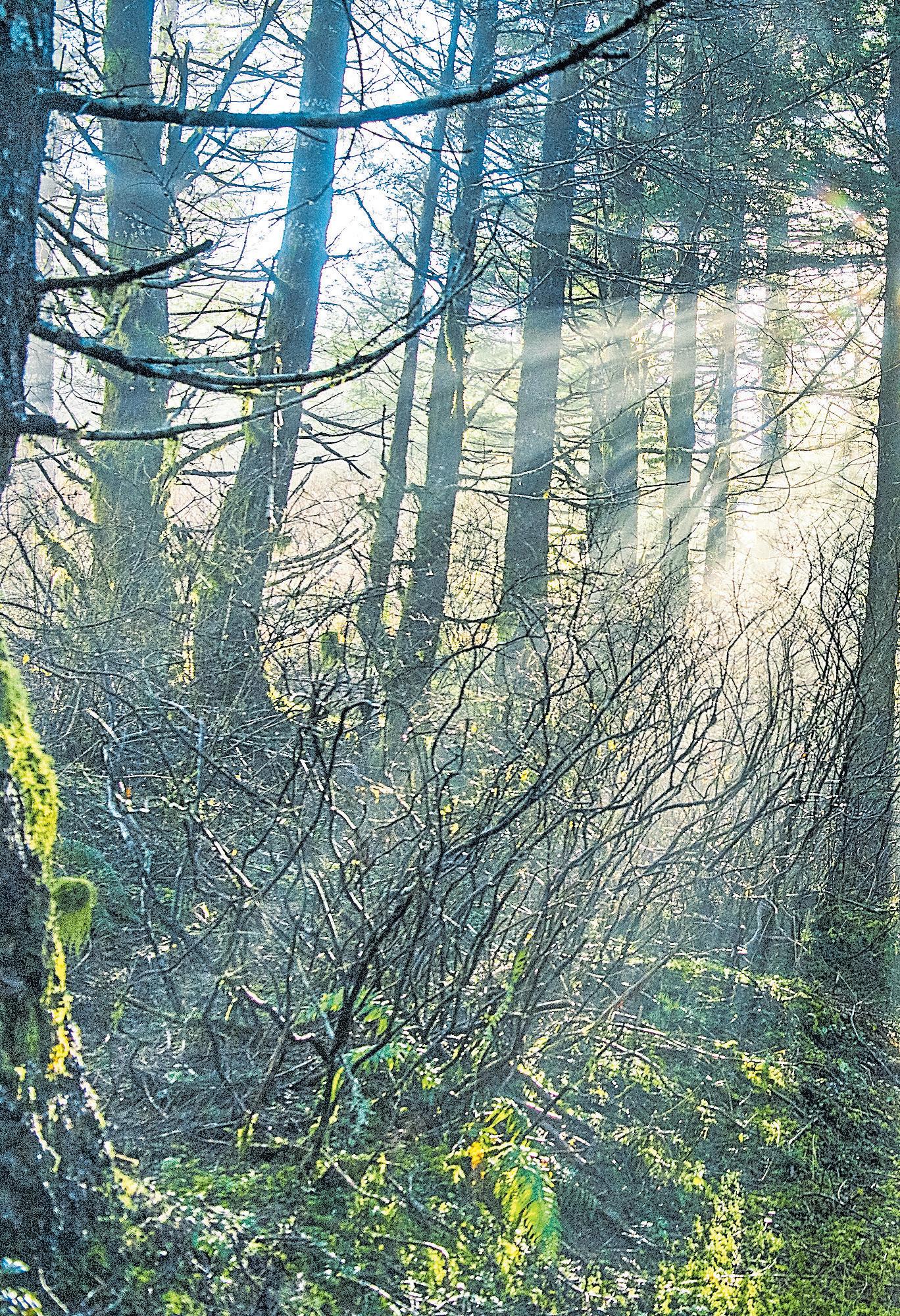
There are many places to ride in Marin, but I tend to gravitate to two spots: scenic, bayside China Camp State Park and the wide-open terrain of the Marin Headlands in the Golden Gate National Recreation Area. Why here? Besides the obvious — natural beauty, heart-stopping vistas and tempting trails — these local parks allow my new type of ride: an electric, pedal-assist mountain bike or e-MTB, which I think is the best bike ever invented.
The best thing about mine — a svelte, clay-gray Specialized Turbo Levo — is how it can whisk me almost effortlessly uphill over rugged, rocky terrain. The boost is made possible by a small electric motor, deftly hidden in the bike’s bottom bracket, which activates only when pedaling. It quietly generates an invisible force, a sort of phantom tailwind powered by a small, 700-watt battery, also hidden in the frame.
The effect of pedal assist is magical — like a Disney ride with a bit of cardio thrown in. Better yet, the bike’s ability to amplify my pedaling power up to four times allows me to immerse myself in the scenery and in nature without straining my lungs and legs — much appreciated for an older rider like me. The downhill ride is familiar fun: full suspension hits, twists and turns powered almost entirely by gravity, just like my old “analog” mountain bike, which is now gathering dust in the garage.
There’s no better place than San Rafael’s China Camp to experience the astonishing abilities of these bikes, which, as you may have gathered by now, are not necessarily welcome everywhere. (More on that in a bit.) The park offers 15 miles of sweet single and double track trails, perfect for beginner and intermediate riders. The main biking route starts with the wide-open double track dirt trails of the Shoreline trail, which traverses the park’s lowest elevation along the bird-rich estuaries of San Pablo Bay. The Bay View trail provides a gradual climb through lush, grassy meadows filled with spring wildflowers to the Oak Ridge Trail and into the shady forests of coast oak, madrone and aromatic California bay laurel of Point San Pedro. It’s a loop ride that never gets old.
The Marin Headlands is the stunningly beautiful expanse that gives West Marin those Pacific views, from Fort Baker and the Point Bonita Lighthouse to Fort Cronkhite and the clifftop batteries, or what the National Park Service calls “Homeland Security of the 1930s.” Those bristling coastal artillery bunkers are empty now, of course, but you can climb inside the ghostly structures and imagine what it must have been like to be stationed there during World War II.
The Marin Headlands allows e-MTBs on all roads, dirt and
Electric mountain bikes, says Joe Buckley, a lead e-bike developer at Morgan Hill-based Specialized Bicycles, let cyclists conquer dirt trails and steep hills with “superhero legs.”

paved, where bikes are currently allowed. My favorite loop route, perfect for intermediate level riders, starts in Rodeo Valley near Rodeo Lagoon and follows the Miwok fire road to the Old Springs single track rail (check out the spring gushing out of a pipe early in the ride), then descends to Tennessee Valley (walk your bikes past the horse stables), then ascends the Marincello fire road back to Rodeo Valley via the Bobcat fire road. Want something more intrepid? The Coyote Ridge and Dias Ridge trails offer even more challenges.
Something else you’ll likely find along these trails: more cyclists astride electric rides. These bikes have gone mainstream, and the market for e-MTBs is booming.
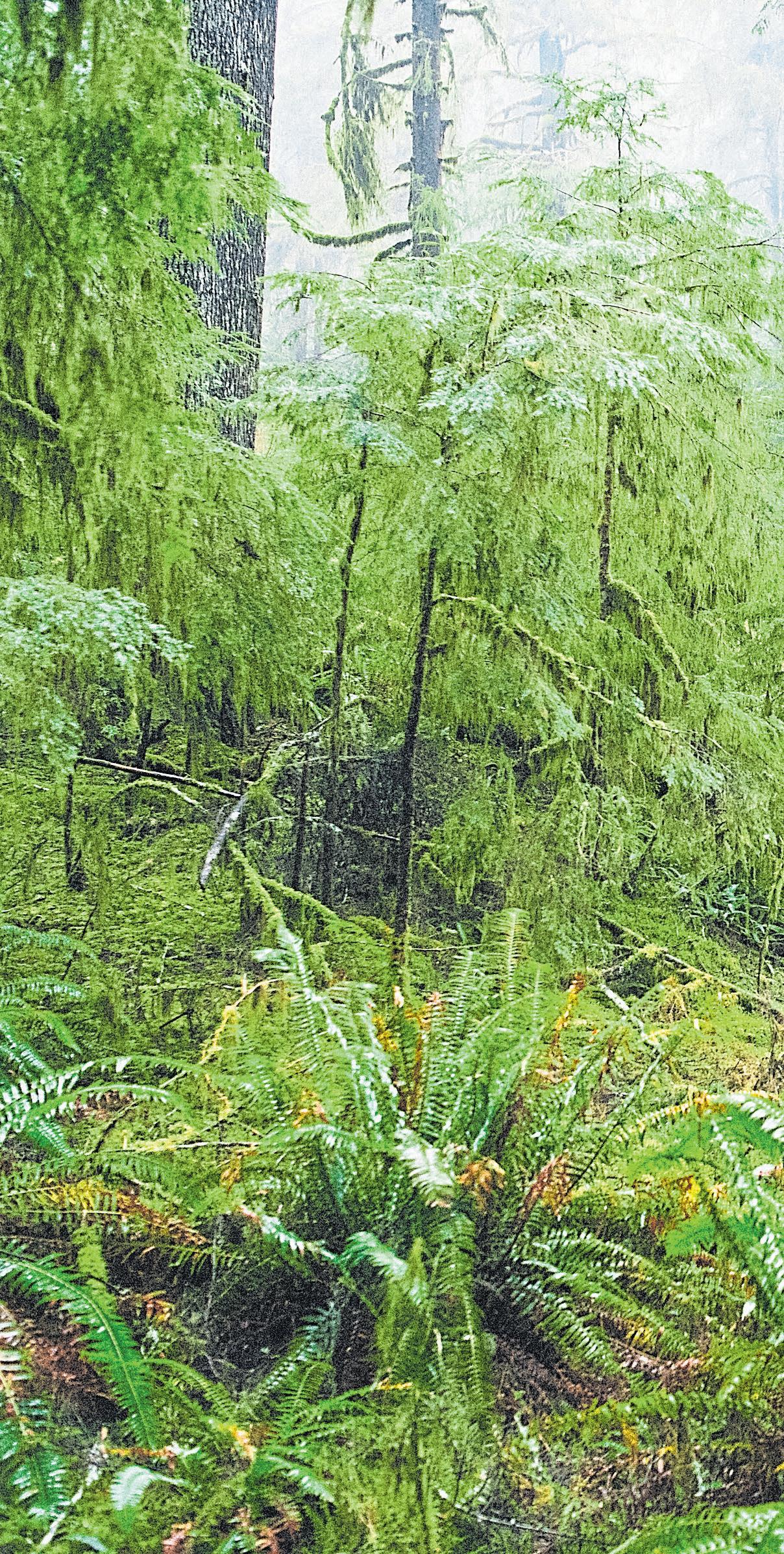
Joe Buckley, a lead e-bike developer at Morgan Hill-based Specialized Bicycles, calls them “a natural evolution of the current mountain bike.” The ride, he says, “delivers
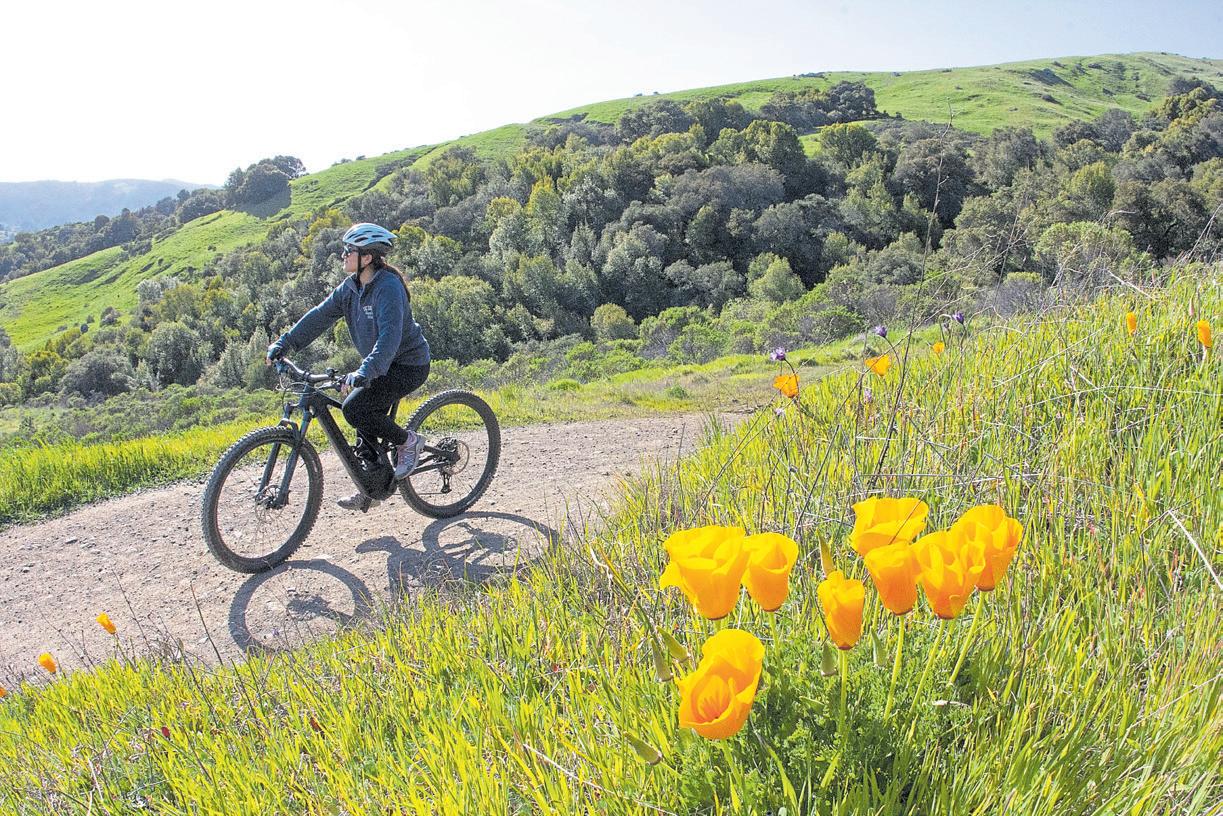
an experience that mimics the handling and feeling of a traditional bike — except now you have superhero legs.”
Superhero legs? Sure, why not? My dual suspension (front and rear wheels), aluminum frame e-MTB rides like a mountain goat, thanks to geometry based on the highly successful Stumpjumper mountain bike. E-mountain bikes have been a godsend for older riders whose legs suddenly feel like they are 20 years stronger, providing a new lease on their biking lives. And young, sporty cyclists are riding e-mountain bikes to tackle long, challenging rides more frequently and further into the outdoors.
One major issue that swirls around this relatively new sport is access to dirt roads and trails. Regulations vary widely and
Once you’ve been bit by the e-MTB bug, you’ll want to hit the dirt every day, guaranteed.
change constantly, as more and more riders appear on the scene. In a nutshell, access depends on the type of bike you have, the type of trail you’re contemplating and the entity that oversees it.
My bike is considered a Class 1 e-bike: The motor only assists when the rider is pedaling and stops with the superhero augmentation when the bicycle reaches a speed of 20 miles per hour. This is the type of e-bike most commonly approved for use on dirt as well as paved public trails and roads.
Class 2 e-bikes have throttle-assisted motors that can propel the bicycle without pedaling and that cease to provide assistance when the bicycle reaches 20 mph. And Class 3 e-bike motors provide assistance only when the rider is pedaling but stop when the bicycle reaches 28 mph.
At present, Class 1 e-mountain bikes are allowed in most national parks on dirt and paved roads where bikes are allowed. The Forest Service is still working on its policies but leaning toward wider access for e-mountain bikes. Meanwhile, public lands in the hands of the Bureau of Land Management offer a number of opportunities, including off-highway vehicle areas and motorized trails. E-bikes are allowed on trails limited to bicycles and non-motorized travel only if a BLM manager has issued a written decision authorizing e-bike use. Check the websites of individual state, regional and local parks and other public lands for their specific rules. As with traditional bicycles, e-bikes are not allowed in wilderness areas.
Besides China Camp and the Headlands, Marin County offers some wonderful biking trails at Point Reyes National Seashore, which has a number of e-MTB-legal trails, and others. In Fairfax, Scout-owned Camp Tamarancho offers an extensive network of challenging single track trails, accessible with a day or annual permit. And the crown jewel
The International Mountain Bicycling Association offers current information on e-mountain bike access at http://www.imba.com/ education/emtb.
Find a map of great e-bike routes at People for Bikes’ site at www. peopleforbikes.org/electric-bikes/ emtb-map. Or try TrailForks. com, which has filters for finding e-mountain bike-legal trails. And California State Parks maintains a site — http://parks.ca.gov/?page_ id=30521 — dedicated to parks, such as Wilder Ranch and Forest of Nisene Marks, that welcome e-bikes.
Find more details about China Camp’s trails at http:// friendsofchinacamp.org, and the Golden Gate National Recreation Area at www.nps.gov/goga/ planyourvisit/index.htm.
of Marin mountain biking, the Marin Municipal Water District, is considering a proposed threeyear trial period allowing Class 1 e-bikes on dirt fire roads where traditional mountain and gravel bikes are currently allowed.
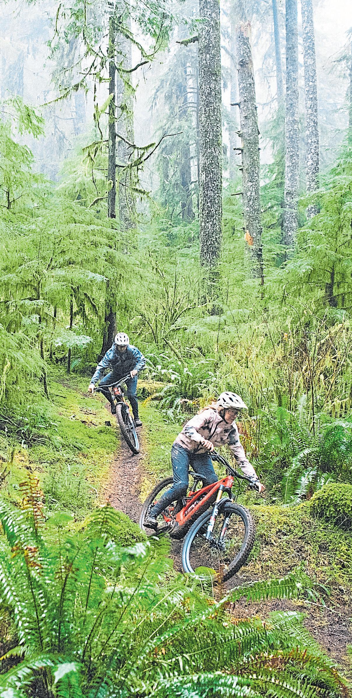
In Sonoma County, TrioneAnnadel State Park allows e-MTBs on its diverse network of fire roads.
On the Santa Cruz coast, Wilder Ranch State Park has become a magnet for e-mountain biking, with trails and dirt roads along the coast and into the redwood forests. Henry Cowell Redwoods State Park and the Forest of Nisene Marks State Park in the Santa Cruz mountains and the more urban DeLaveaga Park are top choices for e-MTB enthusiasts, too.
In the South Bay, Almaden Quicksilver, Joseph D. Grant Ranch and other Santa Clara county parks have numerous trails open to Class 1 e-bikes. Henry Coe State Park is also popular for e-mountain biking.
Once you’ve been bit by the e-MTB bug, you’ll want to hit the dirt every day, guaranteed.
If you’re driving out to some gorgeous spot on the coast, you could stop at the Marin French Cheese Co. and pick up provisions — the company’s famous artisan cheeses, fresh sandwiches and wine —for a delicious picnic.
But here’s another idea: Make this Marin cheese company your destination. Set amid rolling hills on a 700-acre dairy farm in Hicks Valley, its cheese shop and expansive picnic grounds offer a vision of West Marin pastoral heaven.
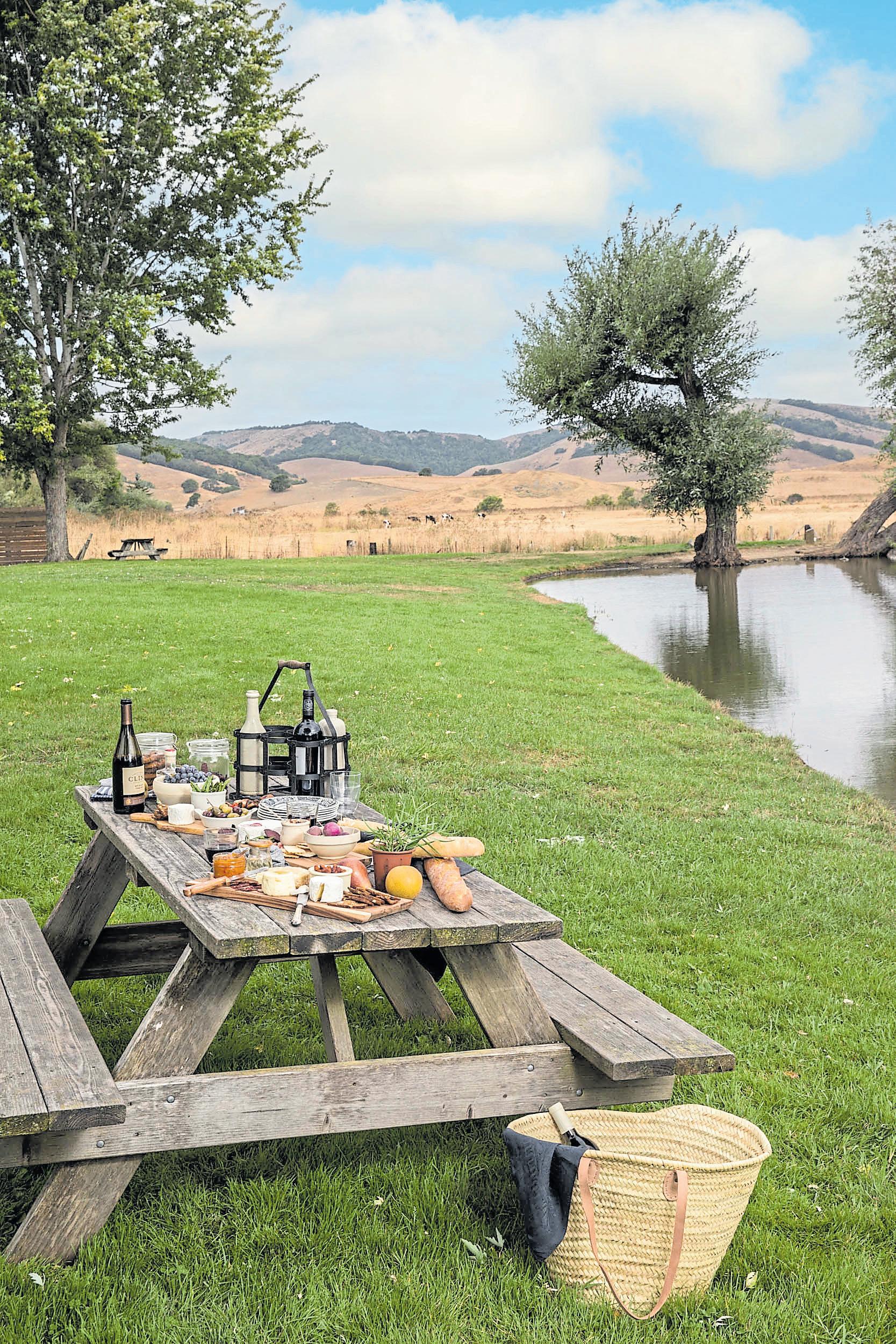
The company’s iconic sign along the Point Reyes-Petaluma Road, west of Novato, invites passers-by to stop and stay a while. For locals, the cheese company, known simply as “The Cheese Factory,” has long been a destination for a day out. It’s especially popular with families looking for a pretty lunch spot where kids can run around.
The cheese shop is housed in a classic, farmhouse-style building. The surrounding property is home to cows, chickens, a pig farm and a vegetable garden. And the historic creamery behind the shop has produced award-winning Brie and Camembert-style cheeses since 1865, making it the oldest cheese company in the United States.
Using traditional French techniques, founder Jefferson

Thompson created his classic Petite Breakfast cheese to feed San Francisco’s booming population of dockworkers following the Gold Rush. Since then, the company has expanded its repertoire to appeal to contemporary palates, creating Brie-style cheeses made with mustard seeds, jalapeños or imported French truffles.
West Marin’s terroir and climate — foggy mornings, cool ocean breezes and warm afternoons — help give those cheeses their signature flavors, and climate also makes this an especially pleasant picnic spot any time of year, but especially in the spring, summer and early autumn.

Most visitors gravitate to the pond, where ducks and geese sometimes paddle. Picnickers spread blankets on its grassy banks, shaded by trees. There are picnic tables and Adirondack chairs and, behind the cheese shop, more picnic areas, including a huge lawn where children can run and play.
The picnic: The shop offers pretty much everything you might need for a picnic, from local wines and ciders to 4-ounce wheels of cheese, salads and toasted ham, turkey or vegetable sandwiches that feature the company’s signature triple creme Brie or Petite Mustard Brie. Small glass jars of chocolate and snickerdoodle pots de creme made by Sonoma’s St. Benoit Creamery are perfect for dessert.
The details: The cheese shop and picnic grounds are typically open from 10 a.m. to 6 p.m. daily during the summer and 9 a.m. to 5 p.m. in winter at 7510 Point ReyesPetaluma Road in Petaluma; https:// marinfrenchcheese.com. Dogs on leash are welcome on the picnic grounds.
Extras: Check the creamery’s Facebook page — www.facebook.com/marinfrenchcheesecompany —for recipes, pairing ideas and details about tasting events with local chocolate makers, bakers and other producers. Consider making a day of it with stops at other Marin or Sonoma County cheese makers along the California Cheese Trail; https:// cheesetrail.org.
Sunscreen, water bottle and a healthy snack are the necessities to pack for your next Zen-inducing hike. But the snack part can be tricky. Granola is too crumbly and messy. Store-bought protein bars are loaded with sugar. And are you really going to bust out a sandwich on the trail?
Homemade bars and power bites, a culinary social media trend that blew up last year, are the answer. Loaded with oats, nut butters, seeds or dried fruit, they involve minimal or no baking, and they’re highly adaptable and easy to transport, not just on hikes but for school lunches and breakfast on the go.
Sunnyvale’s Anne-Marie Bonneau, of Zero-Waste Chef blog fame, makes a Chocolate Cranberry Granola Bar with flaxseed meal and water — instead of egg — to bind the oats, bittersweet chocolate and pumpkin seeds together. Simmer + Sauce’s Andrea Potischman devotes a whole section of her blog to bars and bites, like Cowboy “Cookie” Power Bites and Apricot-Almond Breakfast Bars, which get their moist chewiness from coconut oil, almond butter and almond milk.
“They’re made with wholesome ingredients and often pack a lot of fiber and protein,” the South Bay blogger says. “They can be made paleo, keto and grain-free and in general are a healthier treat option.”
Potischman’s bars have four elements: In addition to oats or nut flour, she includes a seed or nut butter, a natural sweetener like honey or date syrup and a medley of mix-ins, from extracts to protein powder. A quick bake in the oven gives them crunch. Best part? Stored in an airtight container, they last for weeks.
Some of Potischman’s power bites lean on the sweet side but still pack a nutritional punch. Her Cowboy “Cookie” Power Bites, which contain rolled oats, pecans and two tablespoons of chia seeds in each batch, satisfy her sweet tooth and take minutes to make.
“It’s really more assembly,” she says, “than cooking or baking.”
Makes approximately 9
INGREDIENTS
2¼ cups whole grain oats
1/3 cup raw almonds
2 tablespoons almond flour
2 tablespoons maca powder
Dash of salt
Dash of cinnamon
1/3 cup nut butter, such as cashew butter, slightly warmed
2 tablespoons unflavored coconut oil, melted
¼ cup local honey
1 teaspoon vanilla extract
2 tablespoons nut milk, such as almond
1/3 cup dried apricots, roughly chopped
4 dates, pitted and roughly chopped
DIRECTIONS
Heat oven to 350 degrees. Line an 8-inch square baking pan with parchment paper. (Note: The best way to do this is to cut two strips and overlap them, allowing some extra for overhang.)
Lightly oil and set aside.
Place the oats on 3/4 of a baking sheet and the almonds on the remainder of the pan. Place in the oven and lightly toast until slightly fragrant, about 10 minutes. Let cool.
Once cool enough to handle, place the oats in a large mixing bowl and set aside. Place the almonds on a cutting board and roughly chop them. Add the almonds to the oats.
Add the almond flour, maca powder, salt, cinnamon, nut butter, coconut oil, honey, vanilla and almond milk. Using a large rubber spatula, mix well to incorporate. Fold in the apricots and dates.
Pour the mixture into the prepared square baking pan. Using a small glass or glass jar, press down on the mixture to evenly flatten. Place in the oven and bake until set, about 20 minutes. Remove from the oven and allow to cool completely before slicing.
Store the breakfast bars in the refrigerator for maximum freshness.
Andrea PotischmanMakes 15 bars
INGREDIENTS
1 tablespoon golden or brown flaxseed meal
2½ tablespoons water
3 cups old-fashioned rolled oats
½ cup seeds of whatever type you have on hand, such as pumpkin or flax
½ cup dried cranberries
½ cup packed light brown sugar
½ teaspoon salt
1/3 cup bittersweet chocolate chips or chunks
2 tablespoons cocoa powder
½ cup unsalted peanut butter
1/3 cup honey, maple syrup or brown rice syrup
2 tablespoons melted coconut oil
1½ teaspoons vanilla extract
¼ cup shelled sunflower seeds to press into top
DIRECTIONS
Heat the oven to 350 degrees. Grease a 9- by 13-inch baking dish.
Make an egg replacement — a “flax egg” — by combining the golden or brown flaxseed meal and 2½ tablespoons water. Set aside for 10 to 15 minutes.
In a medium bowl, combine the oats, seeds, cranberries, brown sugar, salt, chocolate chips and cocoa powder.
In a large bowl, mix together the peanut butter, honey or maple syrup, egg replacement, coconut oil and vanilla extract.
Add the dry ingredients to the wet ingredients and combine well, using your hands if necessary.
Press the mixture into the greased baking dish until the surface is flat and relatively even. Sprinkle with sunflower seeds and press them firmly into the granola mixture. Use the flat bottom of a dry measuring cup to flatten everything well.
Bake for 15 to 20 minutes or until golden around the edges.
Allow to cool completely. Cut into bars. Store in a glass jar or container at room temperature for up to a week.
— Anne-Marie BonneauMakes 15 power bites
INGREDIENTS
¾ cup rolled oats
½ cup shredded coconut (sweetened or unsweetened)
1/3 cup dairy-free Enjoy Life chocolate chips (or regular chocolate chips)
1/3 cup roasted pecans, finely chopped
1 tablespoon dark muscovado sugar, like India Tree
½ cup almond flour
1/3 cup, plus 1 tablespoon creamy almond butter
2 tablespoons local honey
1 teaspoon vanilla extract
2 tablespoons chia seeds
Dash of cinnamon
DIRECTIONS
In a large mixing bowl, combine the rolled oats, coconut, chocolate chips, pecans, muscovado sugar and almond flour, and mix well to blend.
Add the almond butter, honey, vanilla, chia seeds and cinnamon and mix to incorporate. Place in the refrigerator and allow to chill for 15 minutes.
Remove the mixture from the refrigerator and using your hands, press firmly and form into 1-inch balls. (Note: if the mixture is too dry, add a bit more almond butter.)

Store the power bites in an airtight container in the refrigerator. The power bites stay fresh for about 1 week.
— Andrea PotischmanAshort hike can be a wonderful thing, especially here in the Bay Area. But every year, it’s not unheard of for people to get lost or injured while visiting one of the Bay Area’s many open spaces and local, regional, state and national parks. According to park officials and hiking experts, It happens more frequently than most people realize.
“It only takes some bad luck or perhaps a poor decision to change an easy hike into a dangerous situation,” said Jane Huber, founder of the Bay Area Hiker website and author of the book, “60 Hikes Within 60 Miles: San Francisco.”
Huber said hikers who flock to Bay Area parks looking for easy access to nature often assume they are “safe” because they aren’t venturing into backcountry wilderness. But nature is filled with many hazards: disorienting forests, deep ravines, lonely beaches, deadly waves, steep and rocky terrain and surprisingly isolated spots where others never pass. This winter’s torrential rain destabilized hillsides, turned shallow creeks into raging rivers and caused significant trail erosion. And if you need help, that cell phone will be useless, if there’s no signal.
THE CALIFORNIA STATE PARKS AND U.S. FOREST SERVICE RECOMMEND THAT YOU:
Hike with a buddy. If you’re hiking in a remote or rugged area, bring three; if someone is injured, one person can stay with him, while the other two hike for help. Always tell someone where you plan to hike and when you plan to return.
Carry a paper map, a whistle and a fully charged cell phone. Pay attention to signs at trailheads and trail junctions.
Pack a flashlight or headlamp; people routinely underestimate how long a hike will take, and darkness falls swiftly on a wooded trail.
Carry plenty of water — at least 2 quarts per person per day — and food.
Wear sunscreen, a hat, sturdy, comfortable shoes and layered clothing.
Bring a basic first aid kit with bandages, gauze, disinfectant and surgical tape.
Stick to established trails, avoid closed areas and exercise extreme caution when conditions are icy, slippery or muddy. If you encounter wildlife — mountain lions, coyotes, rattlesnakes — back away slowly; don’t run.

Whether you’re looking for a show, a hot new movie or things to do this weekend, this trio of free newsletters offers plenty of inspiration. Take a peek below, then sign up at mercurynews.com/newsletters or eastbaytimes.com/newsletters.

Your Bay Area guide to what to do this weekend — hikes, shows, festivals and more — arrives every Thursday morning.
apps.mercurynews.com/newsletters/weekender


Buzzy new restaurant openings, taproom updates and delicious recipe inspiration ll this free weekday newsletter.

apps.mercurynews.com/newsletters/eat-drink
This weekday newsletter combines the latest news on music tours, theater debuts, movie openings and celebrity shenanigans. apps.mercurynews.com/newsletters/entertainment


