






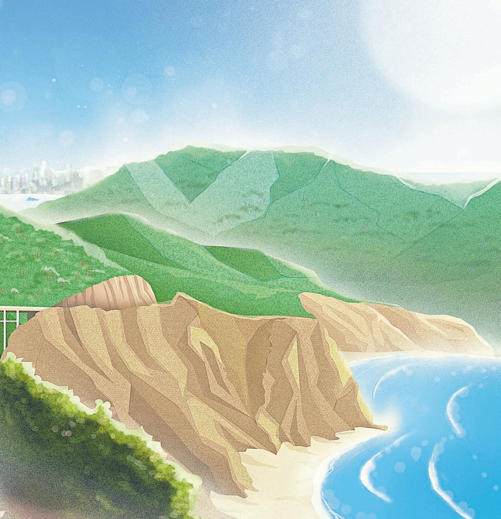
Legwork and willpower can propel you to three dream mountaintopsJOSE CARLOS FAJARDO/STAFF
Highest point in the contiguous 48 states (Whitney), the lowest point in North America (Badwater Basin). World’s tallest publicly known tree (the redwood Hyperion), oldest living tree (an unpublicized bristlecone pine). And yeah, we’ve got the largest tree, too (the General Sherman sequoia).
STORY BY ELLIOTT ALMOND ILLUSTRATION BY DAVIDE BARCOPerhaps these distinctive landmarks crammed into the state’s treasure vault diminish an appreciation for what’s in the backyard.
Many often pass underneath Mount Tamalpais and Mount Diablo without according them the gravitas they deserve. We get it. We do. Modern life is as tangled as our unkempt strands of hair during the novel coronavirus shutdown.
But tap the brake for a moment to ruminate on what it means to trespass on their sacred soil filled with redwood forests, oak woodlands and riparian delights. They are rocky monuments to our past and promontories for peering out into the future.
Some seven and a half million people reside in the greater Bay Area. The place crackles with connectivity at a breakneck pace as the hammering of humanity
pounds the senses.
But for anyone willing to lace up hiking boots and step out the door, another world exists above the hubbub.
Hardcore commandos might need the elevated high of Yosemite or Tahoe’s Desolation Wilderness. But the local mountains with their muscular shoulders are just as tempting.
One week in late July, I decided to summit three peaks to reconnect with the region’s towering presences. Mount Tamalpais in Marin and Mount Diablo in the East Bay were obvious choices.
A third summit was not as easy to pick as I perused topographic maps and solicited expert opinion. The 4,265-foot Mount Hamilton is the tallest point in Santa Clara County. It is an astronomer’s haven sans summit trails. Out.
Mount Umunhum and Loma Prieta Peak in the Santa Cruz Mountains have too many structures on top to whet the appetite, while Mission Peak above Fremont is so heavily trafficked, I avoid it like rush hour. Out, out and definitely out.
Some suggested Mount Saint Helena in Napa, but my head turned south to Big Sur’s statuesque Pico Blanco, a pointy mountain that captures the imagination of regional climbers. Alas, much of it is privately owned, complicating trail access that already was a logistical issue with the road currently closed well before the trailhead.
Then Mount Manuel piqued my interest. The little-known mountain rises above Pfeiffer Big Sur State Park in the Los Padres National Forest like a backcountry invitation.
I had settled upon my mountain trinity, three peaks that would showcase the region’s natural diversity. Tam is part of the Northern California coastal ranges, Diablo is in the underrated Diablo Range and Manuel in the untamed Santa Lucia.
As someone in his late 60s
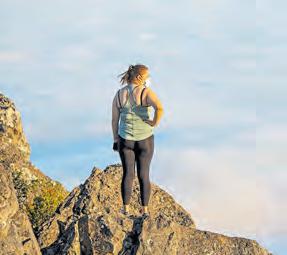
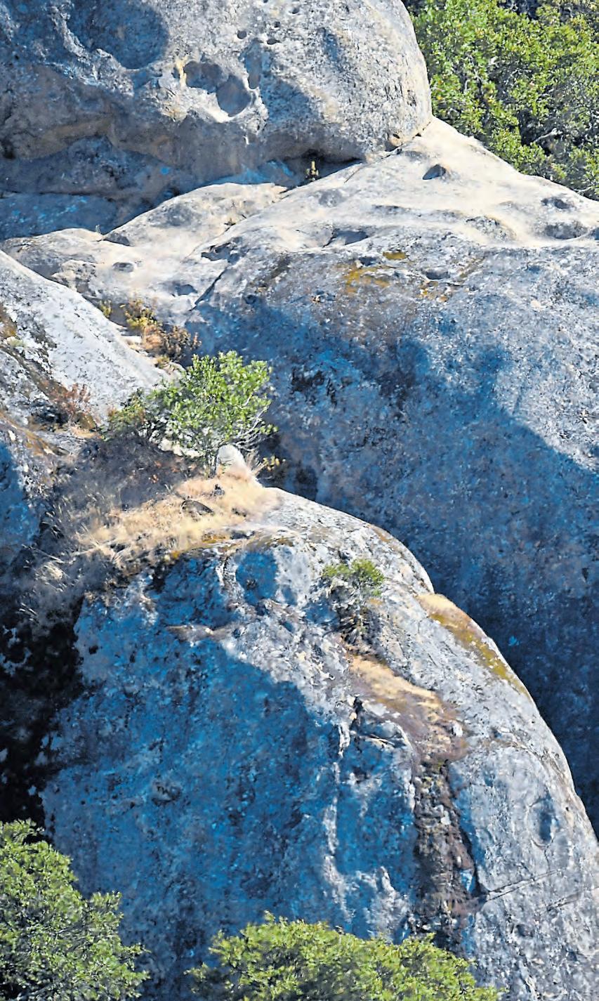
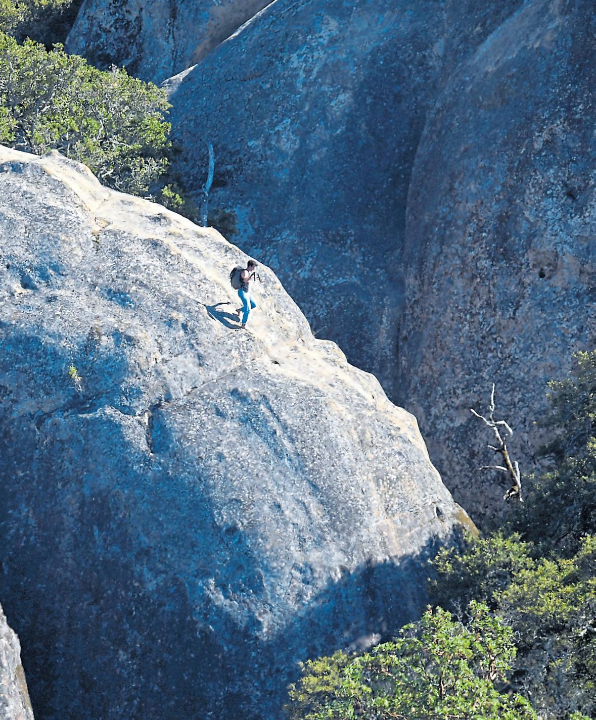
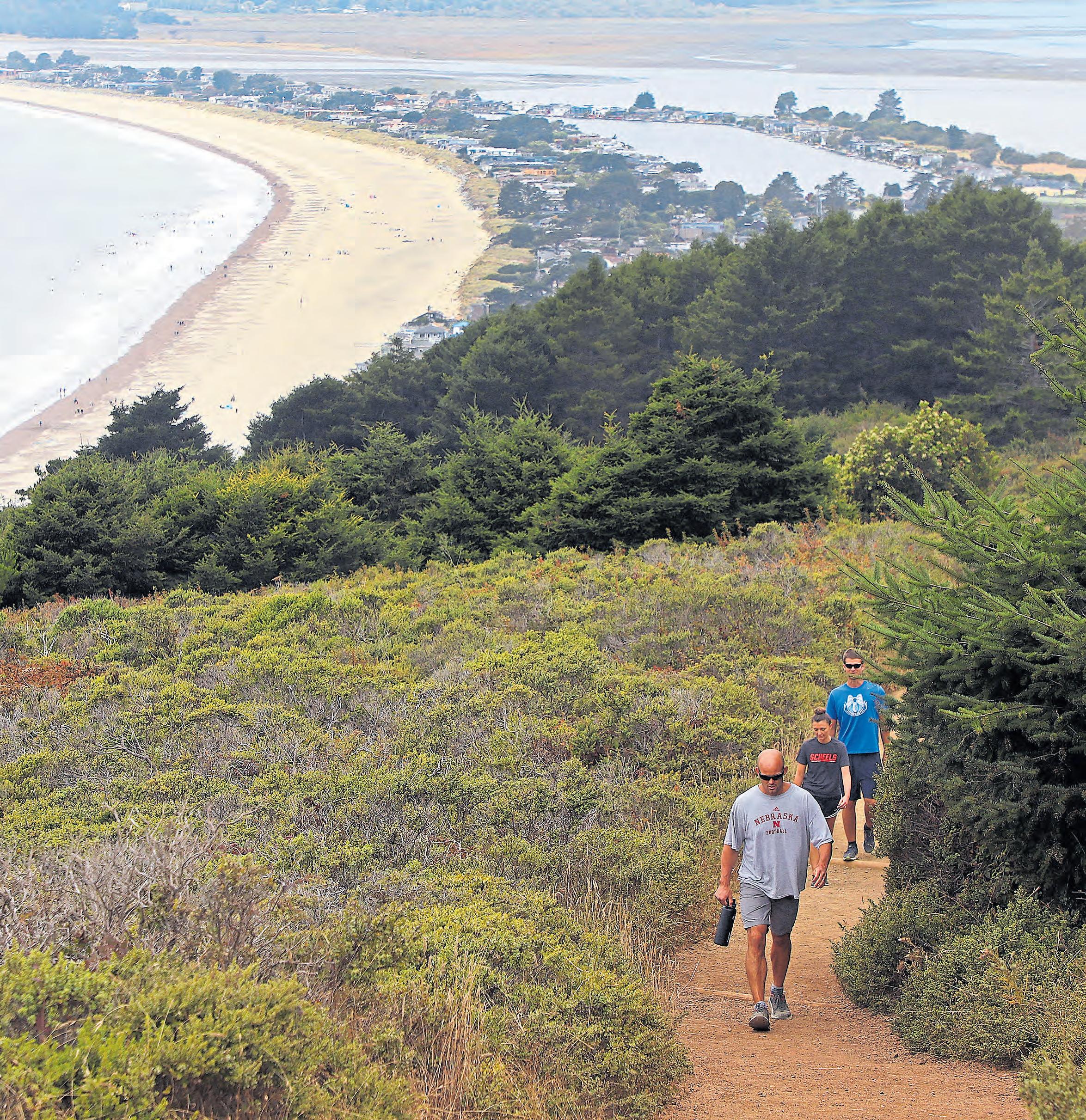
A hiker carefully navigates Mount Diablo’s Boy Scout Rocks. Mount Diablo State Park encompasses some 20,000 acres of land, including the mountain itself, whose summit reaches 3,849 feet.
 JOSE CARLOS FAJARDO/STAFF
coming off meniscus knee surgery earlier this year, I figured I had better attempt this weeklong walkabout while the legs are willing.
Here goes nothing.
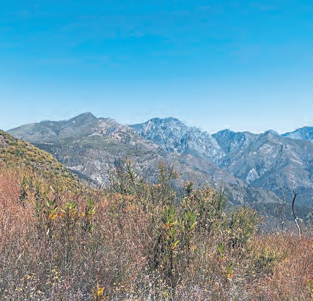
Either California State Parks or the U.S. Forest Service has a math problem.
I first discovered this issue when taking note of the trailhead sign at lot 3 in Pfeiffer. It said Mount Manuel was four miles away.
I hoofed it past the Homestead Cabin, where Manuel Innocente, an Indigenous man converted to Catholicism, had once lived. Up ahead a trail junction sign pointed to my destination.
Four miles, it said.
I followed the dirt path to the state park boundary and found a Los Padres National Forest signpost.
Mount Manuel, it announced, still remained 4 miles into my future.
Perhaps state and U.S. Forest Service rangers just do not know.
After completing the hike of about 10 miles round trip, I wouldn’t blame them.
At 3,379 feet, the ice cream scoop-shaped Manuel is not for the uninitiated. With an elevation gain of more than 3,000 feet, the ascent is challenging enough.
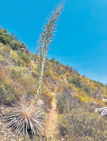
But it slips into the Sufferfest category because the chamise shrub and its scrubland co-conspirators have taken back the steep, wily footpath. Thickets of tanoak forests proved so maddening to navigate, I no longer bothered trying to avoid poison oak or ticks that frequent the route.
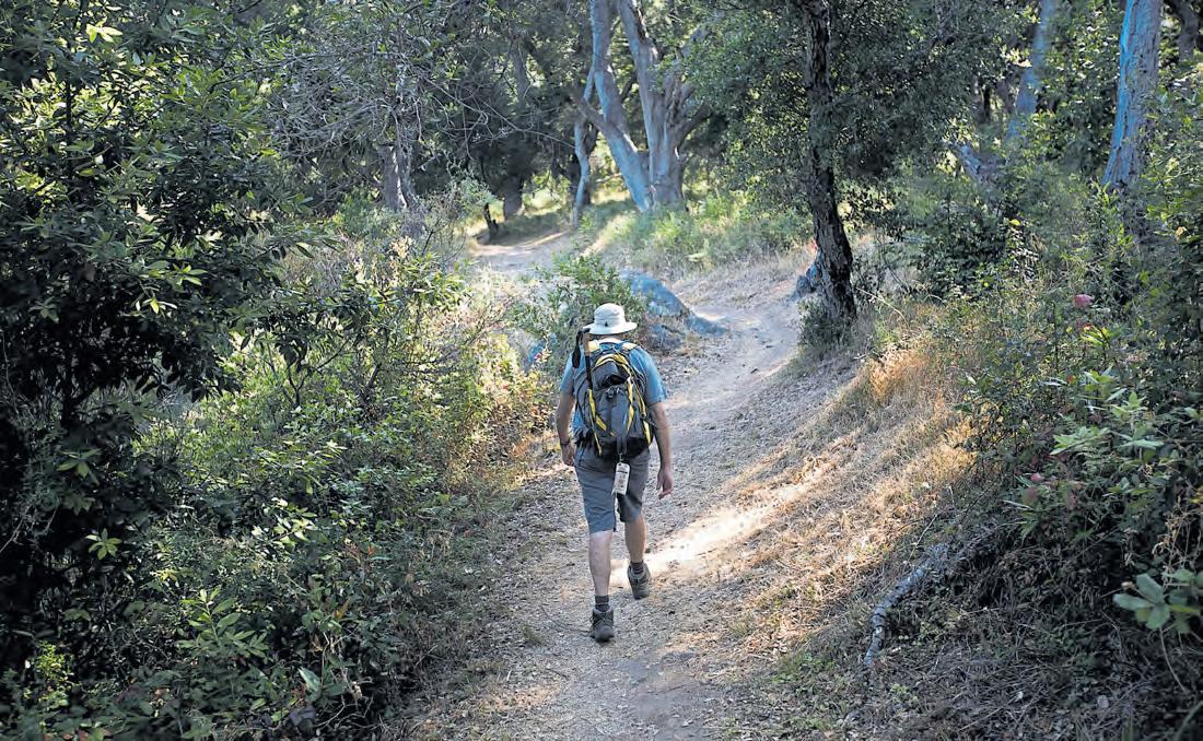
I started humming Dylan to keep my wits about me:
“I was burned out from exhaustion, buried in the hail/ Poisoned in the bushes an’ blown out on the trail.”
The Forest Service, which originally carved the trail for pack
horses, does not have the funds to maintain the trail that, for the most part, is cut into the ledge high above the Big Sur River watershed.
My legs and arms were bloodied by the continual poking and prodding of the scrubland and cacti spears. I did not see anyone for the first 5½ hours, as I slowly threaded my way to the top after experiencing demoralizing false summits.
The reward for climbing above Highway 1 usually is a sweeping view of the intoxicating Big Sur coastline. Mount Manuel does not deliver.
Rather, it is the gateway to the roadless Ventana Wilderness. The journey’s highlights included vistas of the Santa Lucias. The first sight of the 4,653-foot Kandlbinder and 4,856-foot Ventana Double Cone left me gobsmacked. The leg cramps, the stumbling about, all of it did not matter. Seeing remote, hard-rock pinnacles that rival the Sierra Nevada deep in wilderness underlined what can be found locally with some effort and gumption.
Speaking of breathtaking views, I knew exactly where I would take my next steps after Big Sur had left my arms and legs blistered with the effects of poison oak.
Four days later, I willed my beaten and battered body to Marin County with the promise of refrigerated air from the Pacific. The popular Mount Tamalpais is the highest point in Marin at 2,571 feet. But Marin being Marin, the actual milestone is the subject of an ongoing debate. Is the true summit West Peak or East Peak?

I really don’t give a Douglas fir which one is higher. The trails in Mount Tamalpais State Park and its environs are special at any elevation. I don’t often climb to the summit, because the network
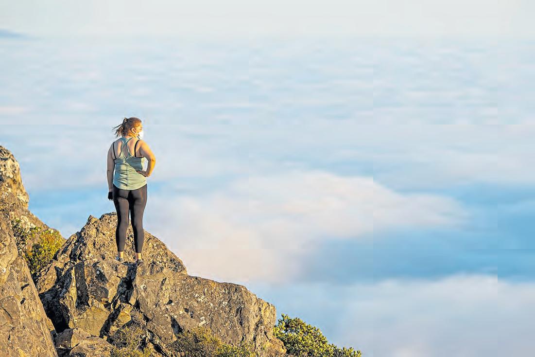
of renowned paths includes the Dipsea Trail, the Steep Ravine and Cardiac Hill above the overrated and overcrowded Muir Woods National Monument.
But Tamalpais was calling. For a change, I ascended in the late afternoon to finish at the East Peak fire lookout in time to watch the fiery sun slither into a pillowy fog bank.
Many routes lead to the summit. Locals mix and match, depending on energy level and ambitions. A wonderful all-day excursion starts at the Dipsea trailhead just outside of Mill Valley’s village. Another begins in a narrow ravine at the end of East Blithedale in Mill Valley. That’s the Old Railroad Grade fire road, about a 13-mile round trip.
An even longer trek starts at Stinson Beach and takes the Matt Davis Trail up. Most day hikers like to shorten the ascent by starting at Pantoll or Bootjack. I chose the Mountain Home Inn as a starting point. It’s about four miles to the East Summit in the most direct manner. But I had time to add some miles to explore a diverse community of plant life that includes redwoods, firs, bay trees and manzanitas thriving in the microclimates.
It was on the leg-burning Hogback section that I met Iain Maissen, a Mill Valley resident who said he climbs to the summit about three times a week. We both were headed to the strenuous but spectacular Fern Creek Trail that terminates at the East Peak visitor center.
“Mt. Tam is my church, my therapist and my best friend, and it never lets me down,” said Maissen, 33.
I had hopes to feel the same about my final peak.
Mount Diablo State Park boasts the epic 15.4mile Four Peaks Loop, perhaps the Bay Area’s best all-around hiking challenge. The journey hops from Mount
Olympia to North Peak to Mount Diablo and finally to Eagle Peak in this remarkable 19,000-acre preserve that keeps encroaching suburbia at bay.
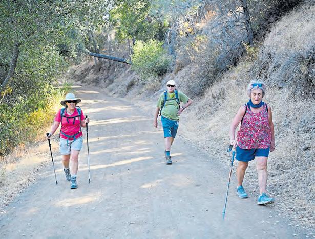
Two days after the ascent of Mt. Tamalpais, cousin Lucy DiBianca was regaling me about doing this Bighorn sheep of a climb as she and hiking buddy Margie Kaplan escorted me partway up Diablo. The septuagenarians knew better than to try to summit in the heat of summer. I did, too. But I also did not have a choice with a deadline looming, so I was determined to trudge uphill for eight miles.
All the Diablo summit trails are a big investment of mileage when starting at the bottom. But there’s no law against shortening the route.
Lucy, 77, and Margie, 73, live in Walnut Creek and Orinda, respectively, so this was familiar country. They led me through a shady canyon along Mitchell Creek, stopping to observe poison oak or recount a previous outdoor adventure.
We finally found the Deer Flat picnic tables under welcomed shade. I bid my cousin and new friend adieu as I began the long
slog toward the summit, just as the morning sun cranked the thermometer gauge up a few notches.
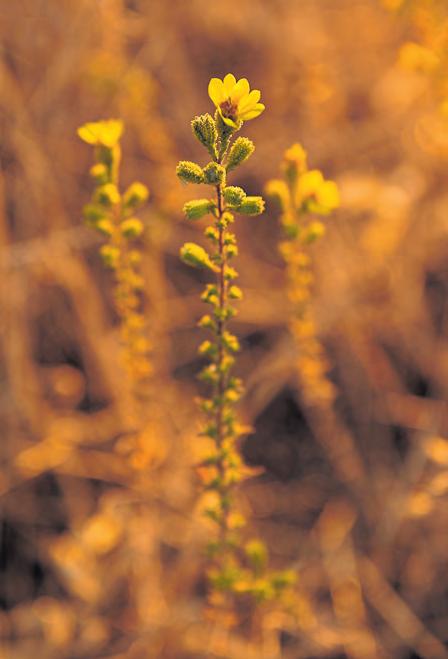
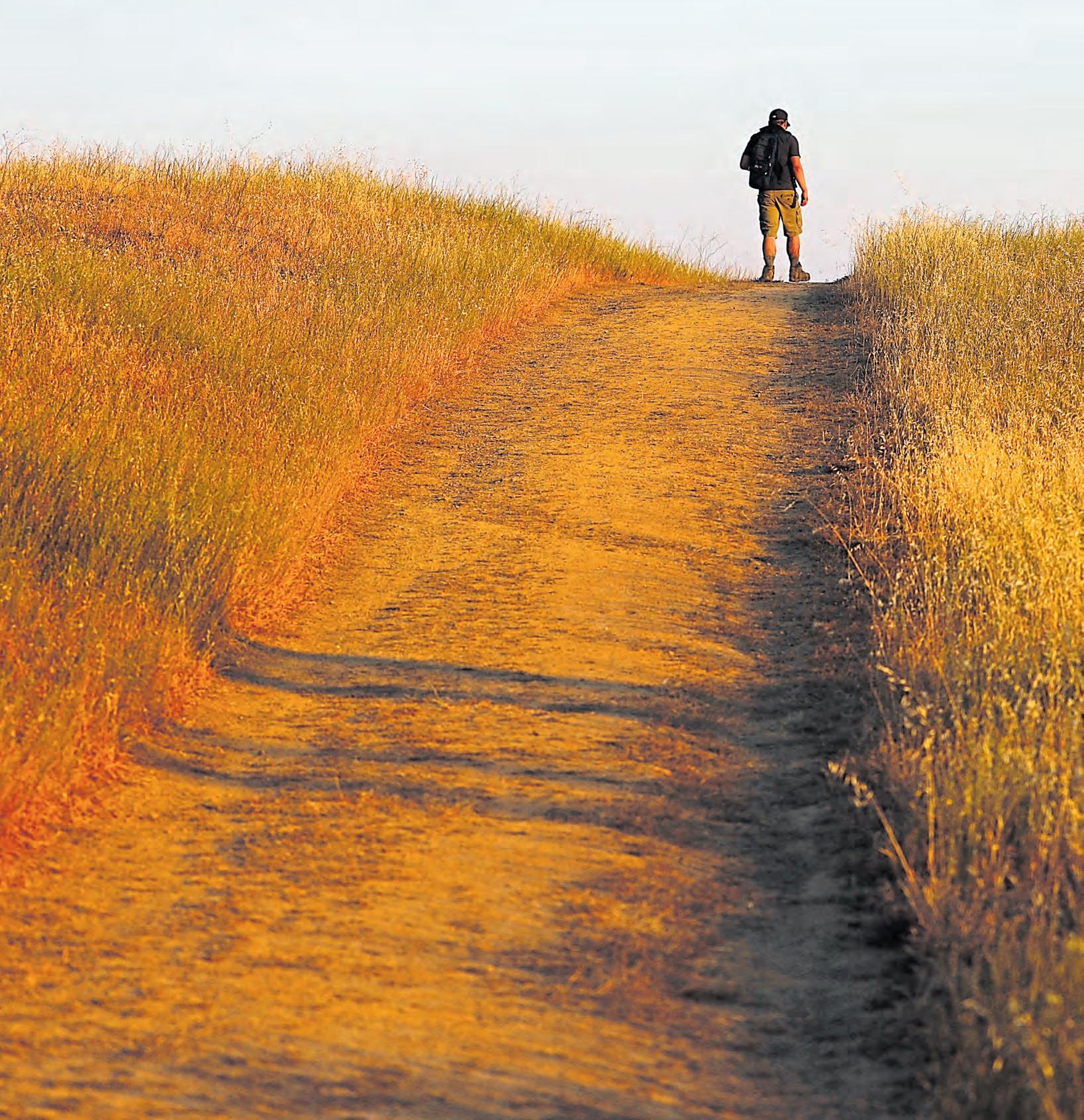
From Deer Flat to Juniper Camp and finally to the summit was fairly steep. But the bone-dry terrain presented a stark beauty with wheat-colored grasslands, fields of yellow tarweed, coast live oak, Coulter pine and California buckeye.
I passed a hiker decked out for the Gobi Desert but hardly another soul, except in Juniper Campground and at the summit. On the observation deck, where on a clear day visitors supposedly can see Mount Lassen to the north and Yosemite to the east, a woman fretted about getting altitude sickness.
That’s better than poison oak, I thought, feeling the effects of the toxic urushiol sap that had caused no small amount of discomfort during the final two legs of my journey.
A gentle westerly breeze revived me. Everything was downhill from here, so I could afford a laugh. After summiting three glorious regional peaks, I had not vanished into thin air.
The Bay Area’s most populous — and most overlooked — county may not have the surfing of Santa Cruz or the city views of Oakland and San Francisco, but there are big-time outdoor opportunities in Santa Clara County. The South Bay has top-notch mountain and road biking routes, with beautiful views to keep you pushing to the end of your trail. And if water sports are more your thing, there are plenty of options away from the crashing ocean waves. Best yet, it’s all close by.
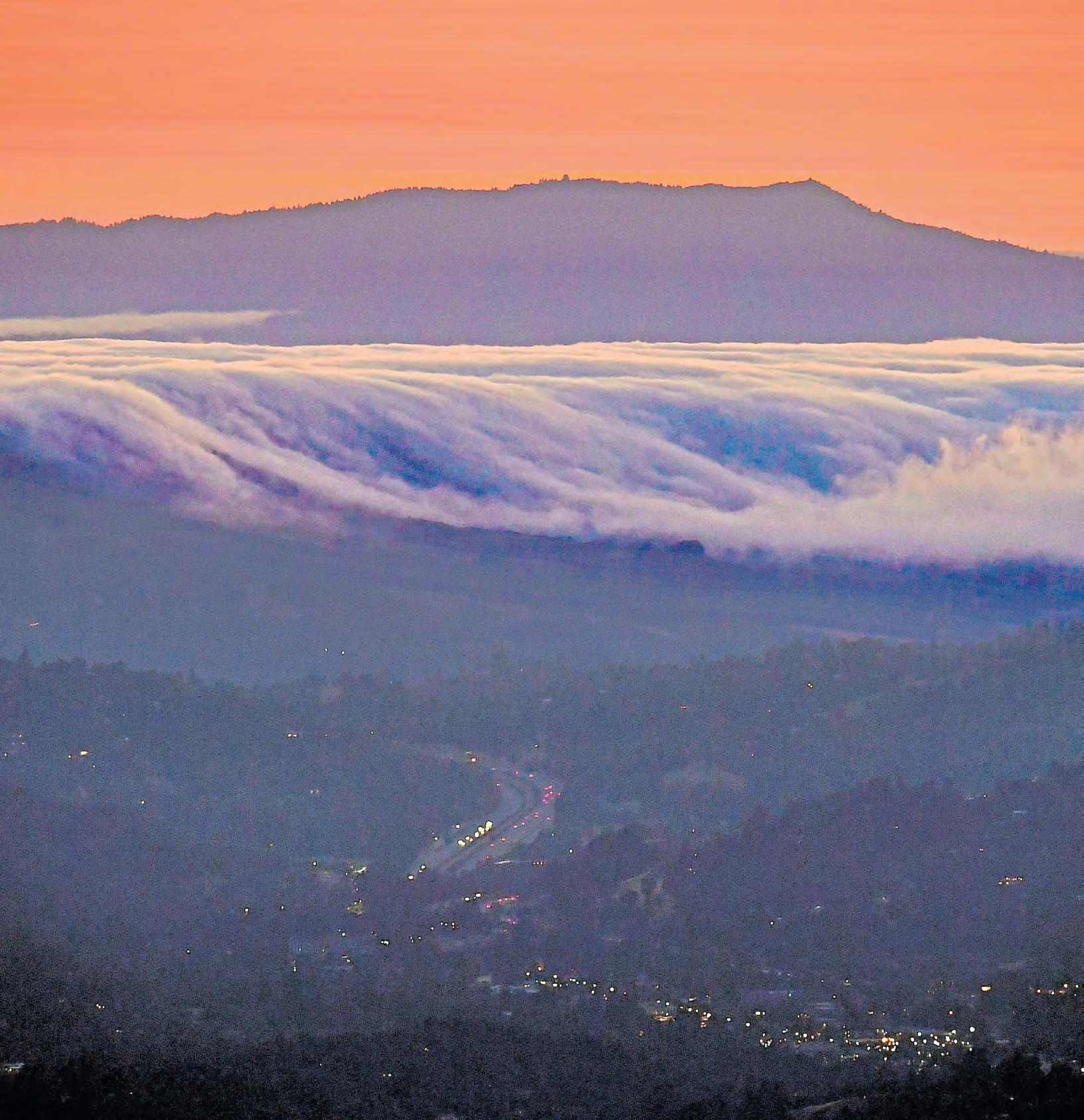
Head up Mount Hamilton: This ride is tough, and the road is winding, without much shade, but the vista at the end? So worth the effort. There are multiple paths to the summit, but the main ascent on the peak’s west side is a slow, 18-mile climb. The Climb. You’ll arrive at the Lick Observatory, which began operations in 1888 and is owned by the University of California.
The observatory’s interior is closed during the pandemic shutdown, but that shouldn’t stop you from enjoying one hell of a panoramic view from the highest point of the Bay Area proper. Find details at http://bestrides. org/mt-hamilton.
Day hike Almaden Quicksilver: Hikers have flocked to Almaden Quicksilver County Park during the pandemic, seeking a little slice of fresh air just a short drive from downtown San Jose.
It feels silly parking your car right in front of some cookie-cutter suburban house when you’re headed on a day hike, but you’ll forget about the subdivision by the time you reach the trailhead and start exploring the various loops and trails. If you’re lucky, you might glimpse a deer or two — and I swear I’ve seen San Francisco off in the distance from Mine Hill Trail. Details: www.sccgov.org/sites/parks.
Get hooked at Stevens Creek Reservoir: Working on your patience during the pandemic? Try your hand at shoreline fishing at this Cupertino park. Bass anglers and crappie and bluegill fans can find success from the shore; catfish lurk ready for your lure in the depths of the reservoir, This county park is more than just a reservoir. It boasts more than nine miles of trails for hikers and bikers, and the park’s website (www.sccgov. org/sites/parks) touts its equestrian bonafides.
Above: Marianggy Gonzalez, 10, and aunt Alexaly Perez, of San Jose, take in the view on the Saratoga Gap trail in Los Gatos.
ANDA CHU/STAFF FILE
Opposite: Hiking trails wind up Mount Hamilton, where the main ascent on the west side is known as The Climb.
Stroll Hakone Gardens: We could all use a bit of tranquility right now. Visit the peaceful Hakone Gardens in Saratoga to lighten your load after a long week and walk among the hydrangeas and silk trees, both in bloom.
One of the oldest Japanese-style gardens in the Western Hemisphere, Hakone (http://hakone.com) was founded in Saratoga more than a century ago. The auditory sensations of the garden’s waterfalls and koi ponds pair with the striking beauty of traditional Japanese garden plants to take you to another place and time.
(And during non-COVID times, you can bring a picnic basket and enjoy lunch inside the garden’s calming confines.)
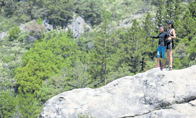
Cycle the Saratoga Gap: Head up toward the Santa Cruz Mountains to get your blood pumping as you hit the Saratoga Gap single track on your mountain bike. Under the canopy of the mountain pines, this trail offers a variety of terrain, from steep climbs and descents to rocky, rooty technical sections. Along the way, you’ll encounter several jaw-dropping views of mountain ridges and coast, particularly on a clear day.
At just under 10 miles, the ride is fairly short, but it’s well worth exploring for its combination of natural beauty and excellent trail. Find maps and details at https://bayarearides.com/rides/saratogagap/.


 STORY BY JESSICA YADEGARAN
PHOTOS BY KARL MONDON
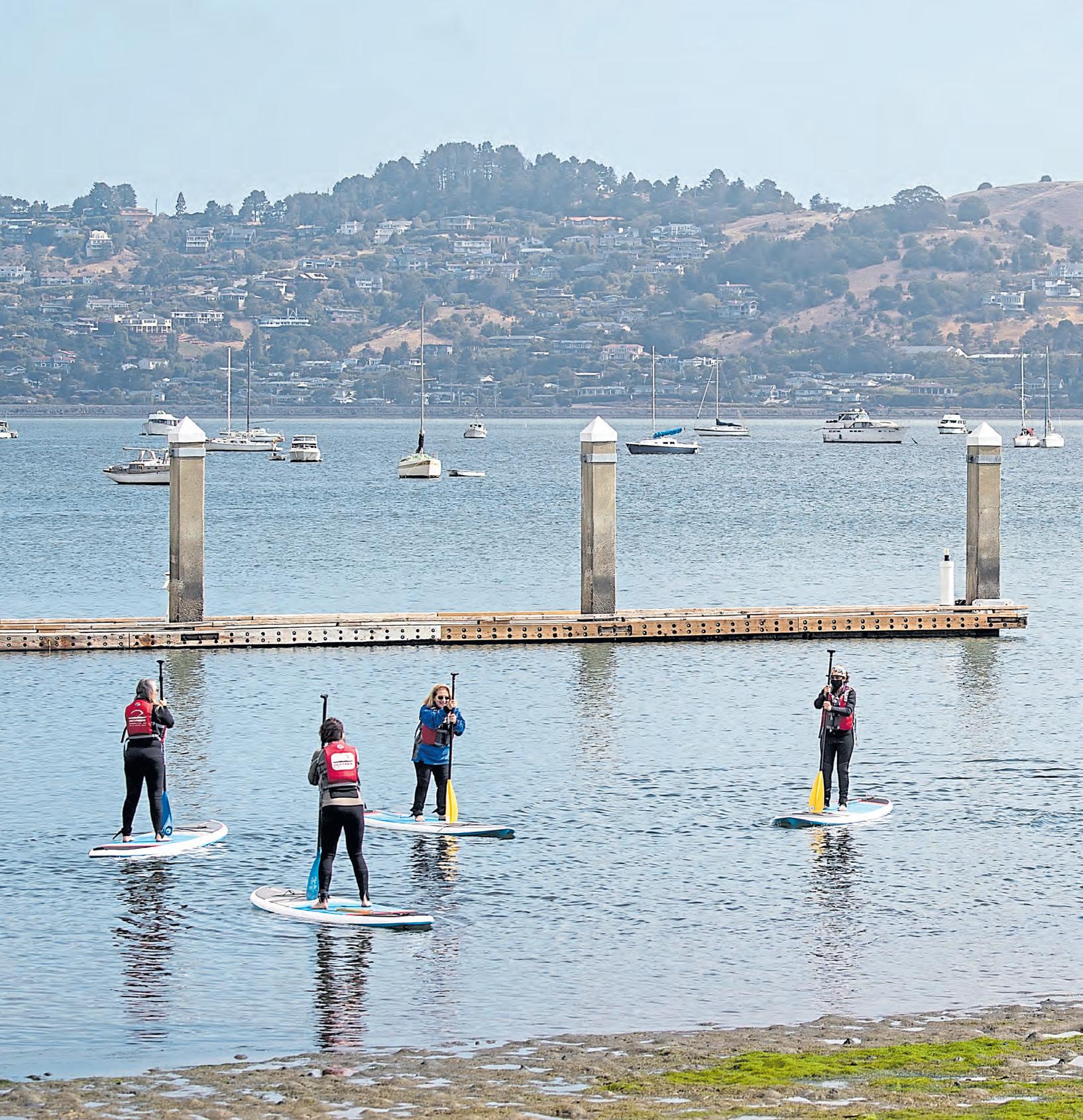
Sunlight hits the water like silver glitter as we strap leash cuffs to our ankles and scoot onto our paddle boards, pushing into the calm of Richardson Bay.
Sausalito is a dream this morning. It’s 62 degrees, and since I’m from the inland ‘burbs, something about the houseboats along the dock makes me feel like I’m farther away than Marin County. The wind kisses my cheeks, and I feel free.
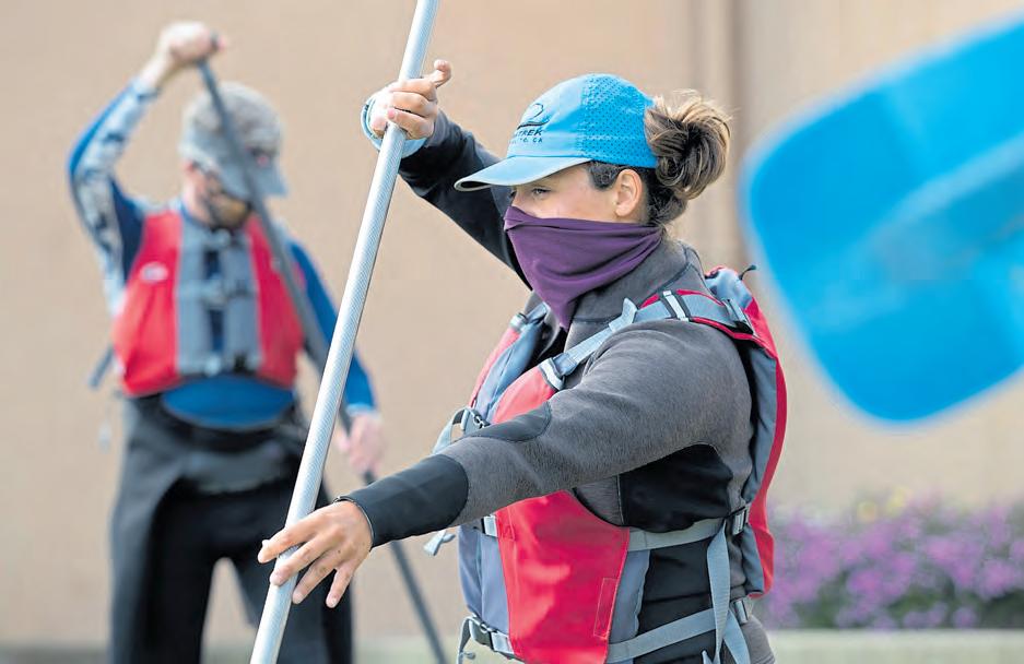
Earlier this morning, after we donned wetsuits and life jackets, instructor LouAnne Harris of Sea Trek Kayak and Stand Up Paddle Board Center gathered us on the grass to teach safety tips and
strokes for this introductory SUP class. SUP is easy to learn, but it does require skill and focus. And up until now, my SUP-ing experience was limited to a Maui hotel lagoon a few summers ago.
Today, I hope to burn calories, interact with adults other than my husband and become confident enough on a paddleboard that I can return on my own and rent one ($25 an hour, including gear) on days when the East Bay heat makes my usual activities, like hiking, uncomfortably sweaty.
For now, I am in Harris’ capable hands. In the SUP world, she’s a legend. In 2016, with fellow paddleboarder Jules Gismondi, she completed a four-month, 1,500mile trip from New York City to Miami. Last year, she became the first known woman to stand-up paddleboard the entire 2,300-mile length of the Mississippi River.
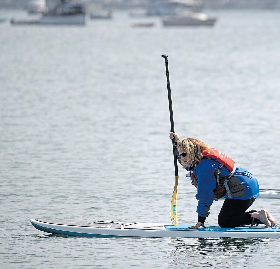
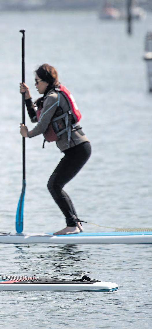
In this class, we’ll be traveling just a half mile, but in that short distance, we’ll catch epic views of Tiburon and Angel Island and work up an appetite for heaping plates of seafood (more on that later). After paddling a bit in the kneeling position, I get into tabletop position on Harris’ cue, look toward the horizon and assume a squat before pressing my feet into the board’s foamlike deck, unlocking my knees and standing up with a straight back.
“Whole blade in the water and no T-rex arms,” Harris says, speaking loudly so all five of us wouldbe paddleboarders can hear her I quickly understand what she means. Fully extending your arms allows for better balance and a longer, more efficient stroke. Keeping this in mind, I plunge my
blade in the water, pulling it down the length of my board as I take off with my pod.
We hang a right at the rockwalled dock and make our way toward Schoonmaker Beach, a white-sand beach with uber-calm waters because of its position, sheltered inside the protective walls of the marina. As we glide by, masked cohorts wave from sailboats, or and smiling kayakers zip by.
On our approach to the beach, the wind picks up, and I begin to paddle double-time to keep from getting cornered in the dock and away from my troupe. Harris helps guide us to a protected pocket near shore so we can practice our turns. Once there, I follow her lead, carving big half circles on either side of my board.
Suddenly, a harbor seal pops its head out of the water and looks around. He remains just yards away, emerging to watch us practice turns, stances and rescues.
Harris explains that falling into the water is the biggest fear around SUP. So we are going to do it and learn how to get back on. Watching her, I jump in — ahh, splash! — and tuck my paddle safely into the bungee. Wading on the side of my board, I let my feet float up, grab the opposite side of the board and begin kicking my legs and pulling with my arms until I drag myself back on the board.
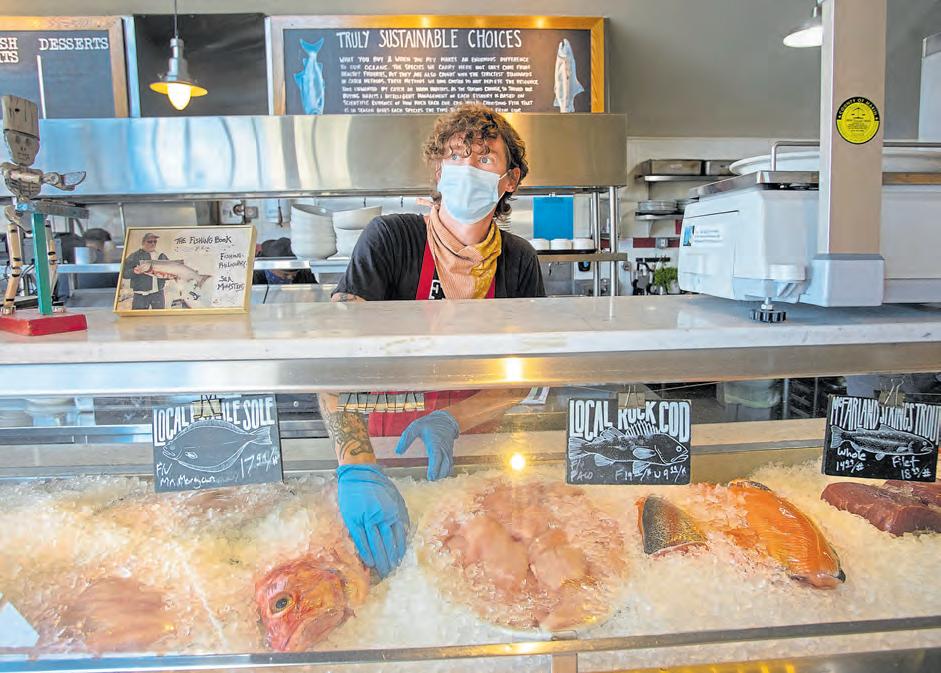
The paddle back to Sea Trek ends too quickly. I feel like a kid who doesn’t want to leave her friend’s house — in this case, the gregarious Harris and Richardson Bay — but lunch is calling. I clean up and head over to Fish, a seafood restaurant on the water about a half-mile from Sea Trek. Kenny Bellov’s casual eatery is synonymous with sustainability; he owns San Francisco’s TwoXSea, which supplies restaurants with responsibly sourced and honestly harvested seafood.
At Fish, executive chef Douglas Bernstein and crew can tell you the name of the vessel, the fisherman who owns that boat and the manner in which the piece of fish you are about to consume is caught. Add to this Bernstein’s ever-changing mix of classic and
eclectic dishes, a large patio and swift service, and you can see why the queue wraps around Fish half an hour before it opens.
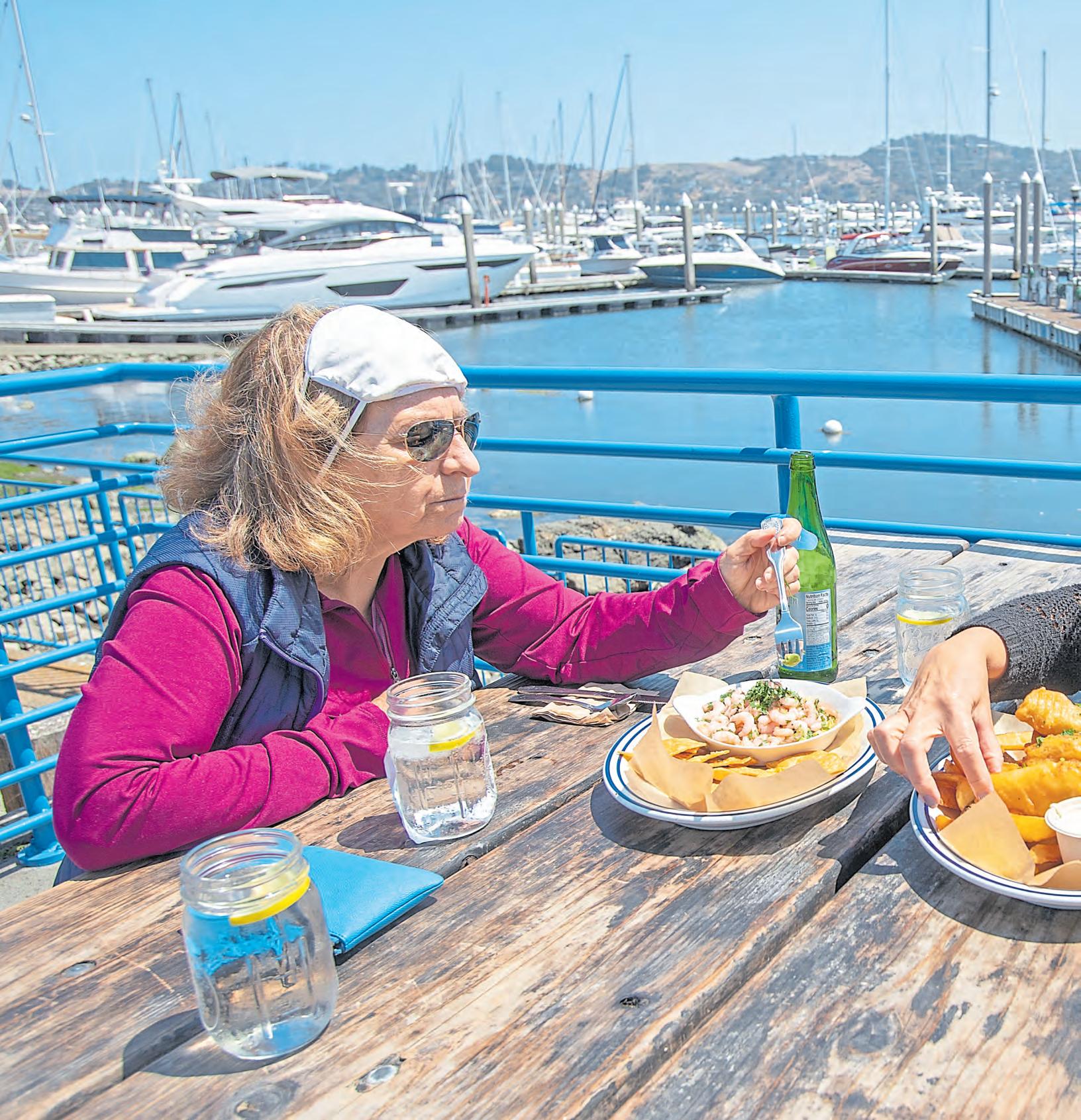
After placing our order — only one party can enter the restaurant at a time due to social distancing — we grab a picnic-style table overlooking the harbor and suck down fresh lemonades. A trio of feisty black birds swoops
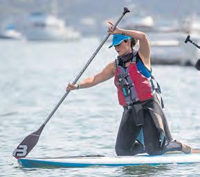
Rising to a standing position on a paddleboard is a challenge for first-timers, but Colleen Creamer and Susan Ang nail it during their SeaTrek beginners class.
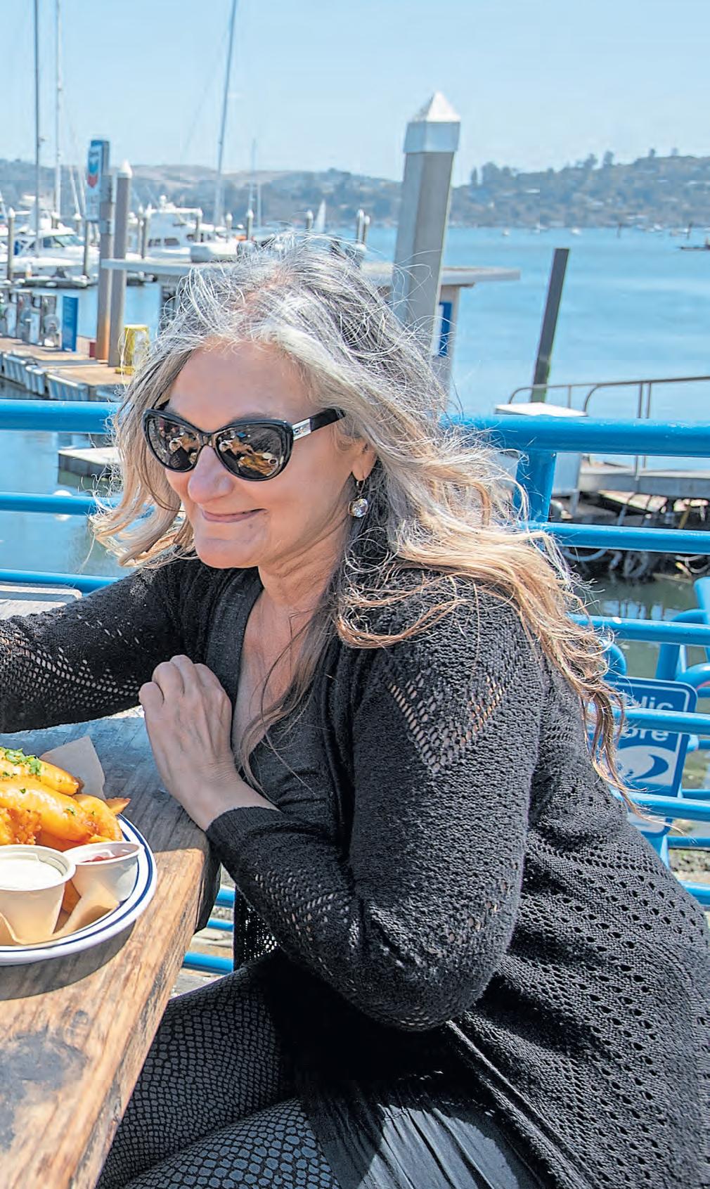
in, looking for crumbs just as our Dungeness Crab Roll ($36) appears alongside a crisp green salad and a bowl of the silky Boston White Clam Chowder ($9) loaded with potatoes and succulent clam meat. One bird manages to flee with a chunk of the decadent, buttery crab in tow. Worried, we inhale the sandwich and move on to a
delightful Ahi Poke Bowl ($13), with fresh, glistening cubes of ahi and the prettiest green pearl rice, which gets its color, I later learn, from bamboo extract.
With bellies full and a post-SUP quiver in our quadriceps, we pack up our leftovers and make the drive back to the East Bay, with visions of silver glitter dancing in our heads.
Sea Trek’s introduction to paddle boarding class is offered at 8:30 a.m. on weekends. Classes are about two hours long and cost $85. You can also book a private group of four or more. Reservations required; www.seatrek.com
 BY LINDA ZAVORAL
Couple Marin County’s stunning scenery with its mild microclimate, and you’ve got a great destination for outdoors enthusiasts. Here are five adventures to go on now.
Go mountain biking: Credit a group of Marin County teens called the Larkspur Canyon Gang for inventing the sport of mountain biking when they tackled the tough Mount Tamalpais terrain in the late 1960s and early 1970s. Marc Vendetti, president of the Marin Museum of Bicycling, says the best single-track riding today is the loop around Camp Tamarancho Boy Scout Camp in the hills above Fairfax. “Not technically Mount Tam,” he says, “but you can see it from there.” (Get your day pass at www. boyscouts-marin.org.) The museum is temporarily closed, but you can go online to learn about the sport’s history and purchase gear or a brick for the legacy wall.
Do the Dipsea: Dating back to 1905, the oldest trail race in America is also one of the prettiest, winding as it does over 7.4 miles through hill and dale, from downtown Mill Valley, up and down stone staircases, through an old horse ranch, into lush Muir Woods and on to Stinson Beach and the Pacific Ocean. But since the coronavirus canceled this year’s run — for the first time since World War II — the Dipsea has pivoted to become more of a solo event. Through Sept. 6, you can sign up at Dipsea.org to run the course in socially distanced fashion or run virtually on a 10-mile flat course of your choice.
Explore Muir Woods National Monument: Enter another world, one of trees tall enough to part the clouds, at this old-growth coast redwood refuge that was saved from loggers more than a century ago. You won’t find pre-pandemic crowds at this park near Mill Valley, because officials are limiting the number of visitors and instituting one-way walking on the Redwood Creek and Hillside trails. Make your parking reservations and find details on hours, facilities (yes, the cafe is open, and there are hand-washing stations) at GoMuirWoods.com.
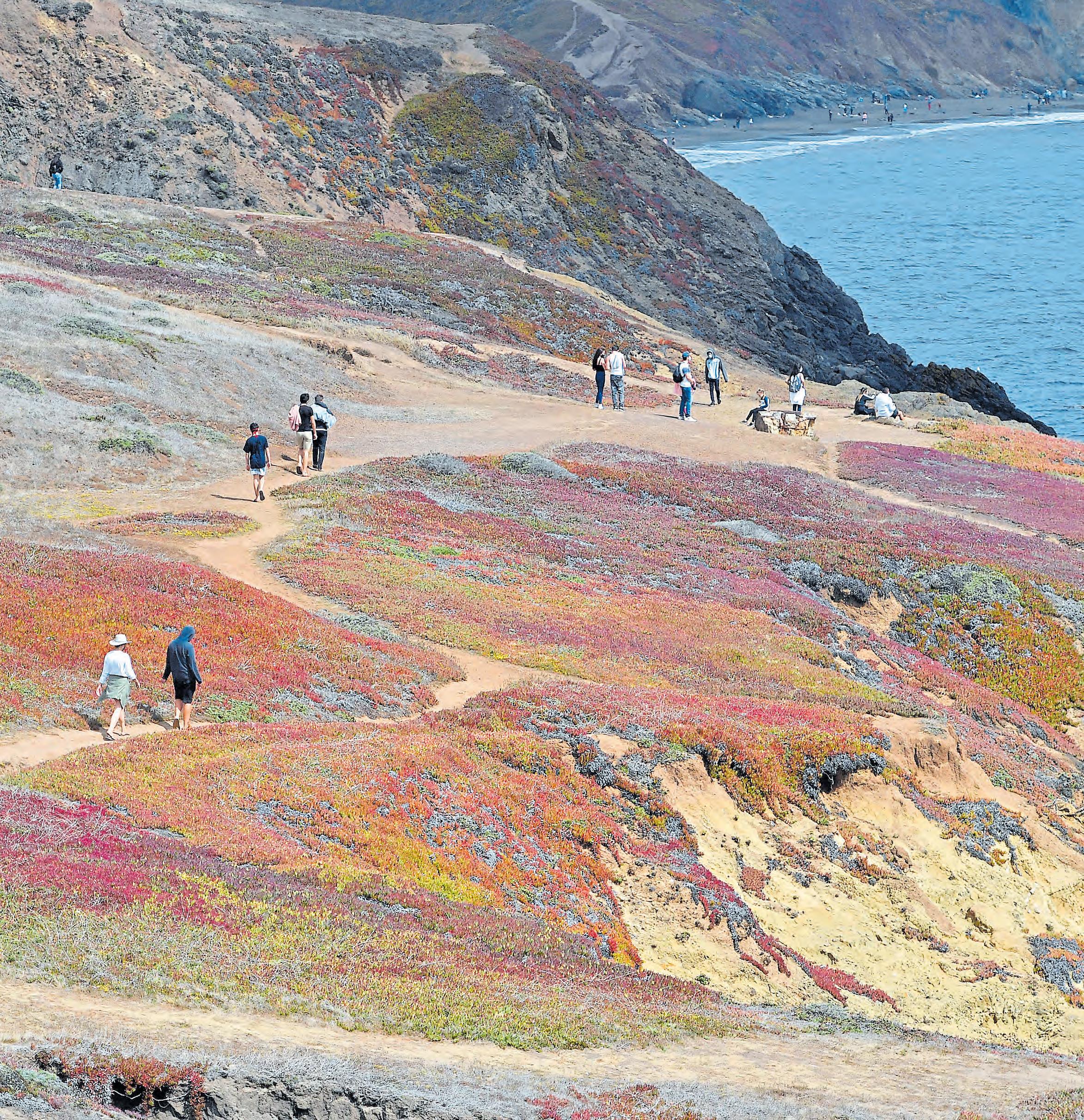
Roam the Marin Headlands: The bluffs of this hilly peninsula just across the Golden Gate Bridge deliver what are arguably the Bay Area’s most breathtaking views. Hike the five-mile Rodeo Beach Coastal Trail Loop in the Golden Gate National Recreational Area (www.nps.gov/goga) to watch the soaring birds above, the occasional deer and rattlesnakes and the surfers riding the chilly waves below.
Stroll the Marin Art and Garden Center: What a year for a significant anniversary. This cultural and garden complex in Ross was scheduled to mark its 75th year in a big way, but those plans have been put on hold. You can quietly cheer their longevity, however, with a socially distanced walk through the 11-acre site, with its carefully tended rose and plant gardens. According to our Marin IJ colleague Adrian Rodriguez, nearly 50 varieties of birds call the place their home, as does a rare variety of tree, the dawn redwood. Find details on visiting at www.magc.org.
It’s not the first time I’ve found myself in this position — 20 miles into a run or hike, feeling as if my knees could crumble to dust, dealing with the reality that there’s a long road ahead.
But to explain how I wound up trying to complete one of the most grueling thru-trails in the Bay Area in a single day in the middle of a pandemic, we’ll have to backtrack a bit.
The Skyline-to-the-Sea trail is a roughly 33-mile trail that takes you from the crest of the Santa Cruz Mountains above Saratoga into Big Basin Redwoods State Park and shoots you out in front of the Pacific Ocean at Waddell State Beach.

Along the way, the trail offers ridgetop vistas while weaving through dozens of giant oldgrowth redwood tree groves and passing by rushing creeks and waterfalls.
Most people who conquer the full trek do it over the course of two to three days — spending the night at backcountry trail camps along the way.
Due to the coronavirus pandemic, however, those camps are currently closed. So I — along with my trusty friend Justin — decided to briskly trek the trail in one day … and hopefully live to tell the story.
In our defense, many of the
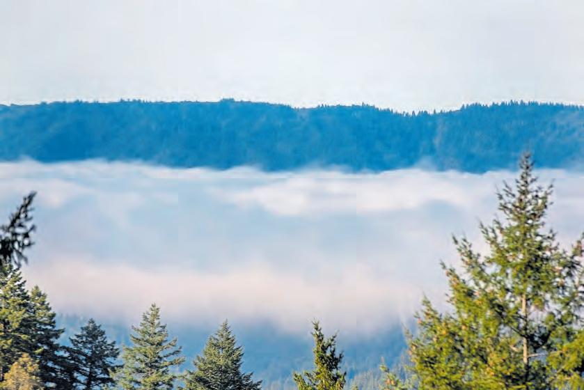
Above: Morning fog wreathes the redwood trees and mountain ridges along the Skyline-to-the-Sea Trail, which stretches from Saratoga's Castle Rock Park to the beaches of Davenport.
 RAY CHAVEZ/STAFF
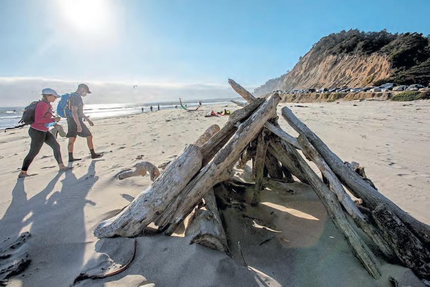
Left: After a day-long hike conquering the Skyline-to-the-Sea trail, Maggie Angst and Justin Landsman reach the Pacific Ocean at Waddell State Beach.
 KARL MONDON/STAFF

trail reviews have the length at 25 miles. What we didn’t realize: The whole journey would take us across 33 miles over the span of 10½ hours.
Nevertheless, this expedition presented me an excuse to both get lost in the wilderness for a full day and vanquish the bad luck 2020 had unleashed on my body.
Five months ago, I underwent knee surgery after taking a bad spill on a Tahoe ski trip. A couple months later — while still rehabbing the knee — I fractured several bones in my face after falling off my bicycle. With two major injuries and a pandemic, I think
I’ve moved my body less this year than any in recent memory. I felt ready for a revival.
And so I set off with Justin, who graced me with sing-a-longs, laughter and much-needed motivation at several points along our journey — including my minor panic attack after getting stung by a bee for the first time at mile 10.
We began our trek at 8 a.m. at the start of the trail near the vista point at Saratoga Gap at the intersection of Highways 9 and 35.
One of my favorite points came between the 3- and 4-mile marks as the trail crossed Highway 9, offering a panoramic view of the Santa Cruz mountain range — the
ridges of the mountains peeking out above a thick layer of fog that filled the valley below.
As we descended through the fog and into dense forests below, a gentle mist filled the air, glistening as sunbeams peeked through holes in the tree canopy above. At this point, every new sight and sound and bug we discovered was noteworthy — including a banana slug. I even cracked jokes about how easy it was so far and that the 25 miles I thought we were on track for were “nothing” — a comment I later came to regret.
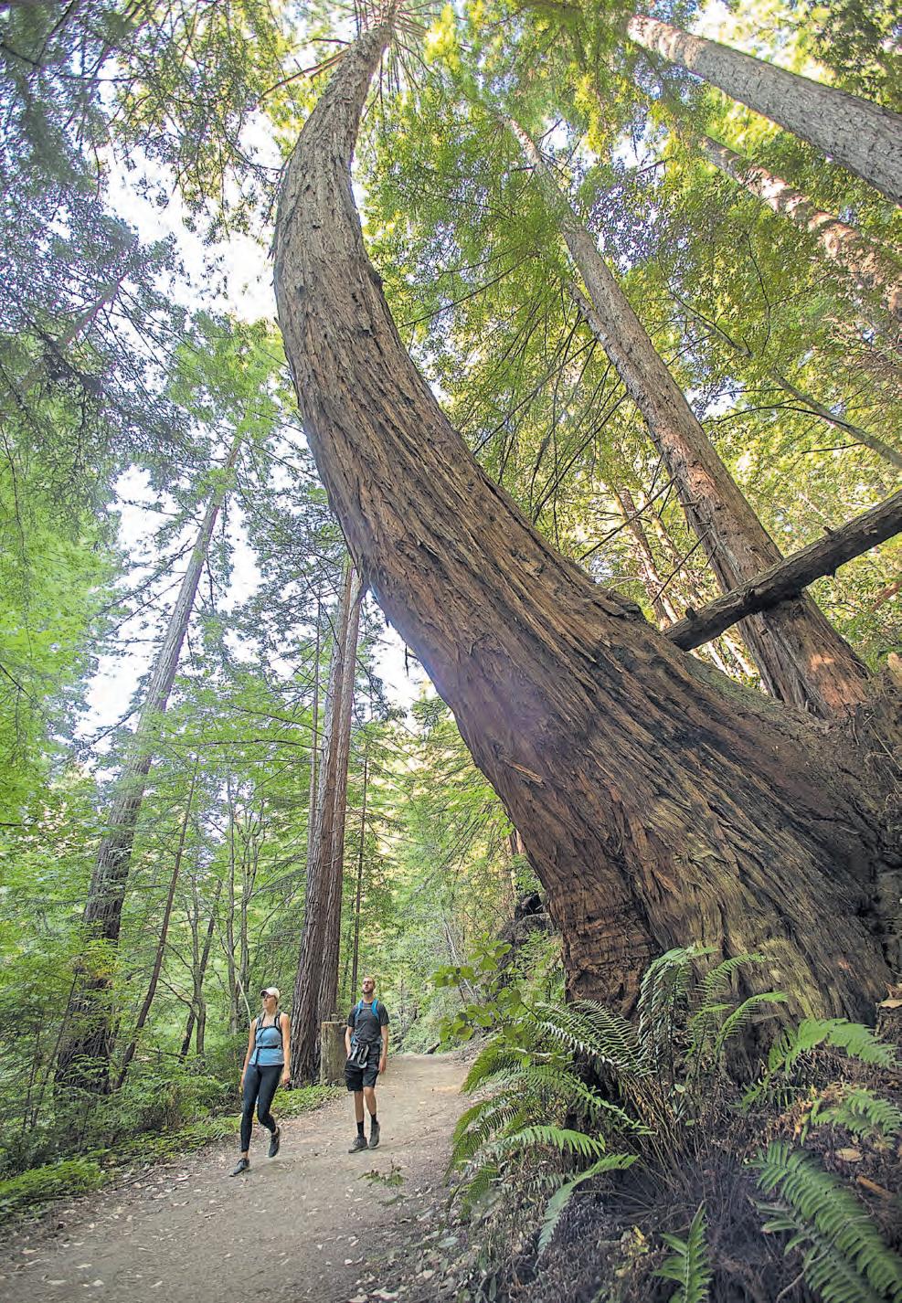
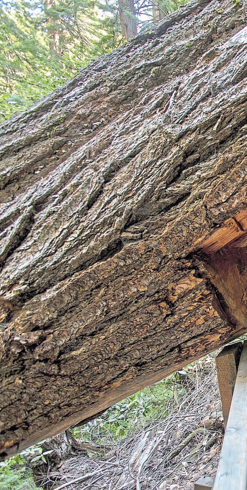
From there, we began passing through our first large redwood groves — stopping to take pictures of how small we looked standing next to the magnificent structures — and Watermelon Gap Camp, where many backpackers spend their first night about nine miles in from the trailhead.
After hours of making our way through the shaded and dense forest, we crossed China Grade Road at about roughly 12-13 miles in, and the scenery gave way to a completely new landscape. The trail went from compacted dirt and leaves to sand and rock and sandstone slabs.
We were hit with some of the first direct sunlight of the trail and encountered small shrubbery and large rock outcrops. Here we started our first round of sing-a-longs — staying on theme with “The Climb” by Miley Cyrus — as we passed the first other hikers we saw on the trail. Unfortunately, they did not join our music making.
After our short stint in the sun, we descended back into the shaded, cool comfort of the forest and down to the basin floor to discover the largest redwood trees we’d see along our journey.
The awe of the towering trees helped distract us from the lactic acid building in our legs and the stinging bee bites we had each sustained. But then we reached a trail update near mile 19 at the Big Basin Headquarters. A portion of the trail was closed, so we were sent on a brief detour route if we wanted to continue on the trail and get to our next stop — Berry
Above: Embarking on the Skyline-tothe-Sea Trail, Maggie Angst, left, and friend Justin Landsman anticipated a 25-mile hike.

RAY CHAVEZ/STAFF
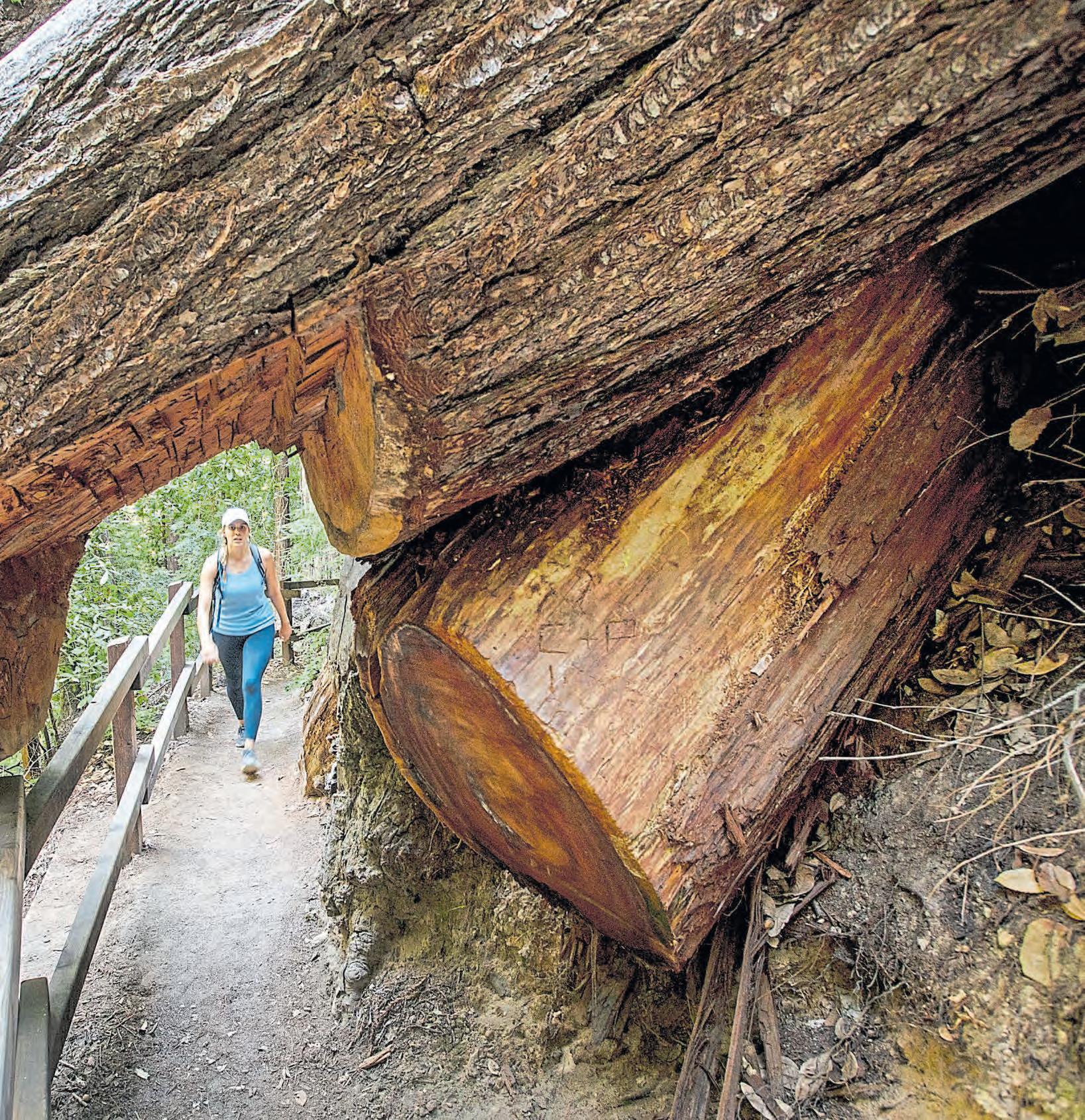
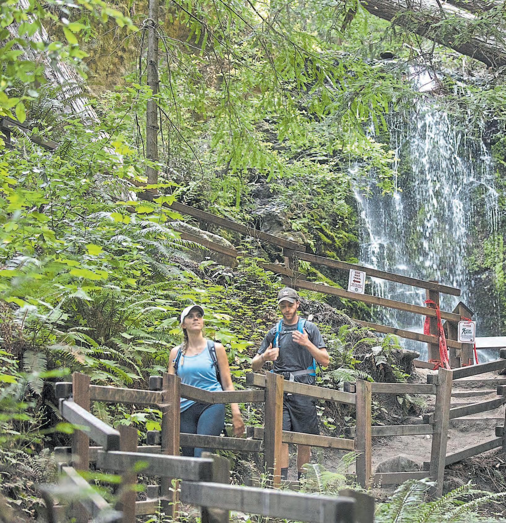
Right: A detour to Berry Creek Falls takes Angst through some of the most beautiful terrain on the trail.
KARL MONDON/STAFF
Creek Falls. Minor bummer, I thought.
But below it, it read: “Waddell Beach: 12 miles.”
That was six more miles than we thought we signed up for, in addition to the newly discovered detour that would also add on some extra mileage.
I knew this experience would make me feel invincible later — already having walked nearly 20 miles, now surrounded by redwood groves, luscious ferns and a rushing river — but for the next five miles, I regrettably lost that foresight. Instead, self-doubt consumed me.
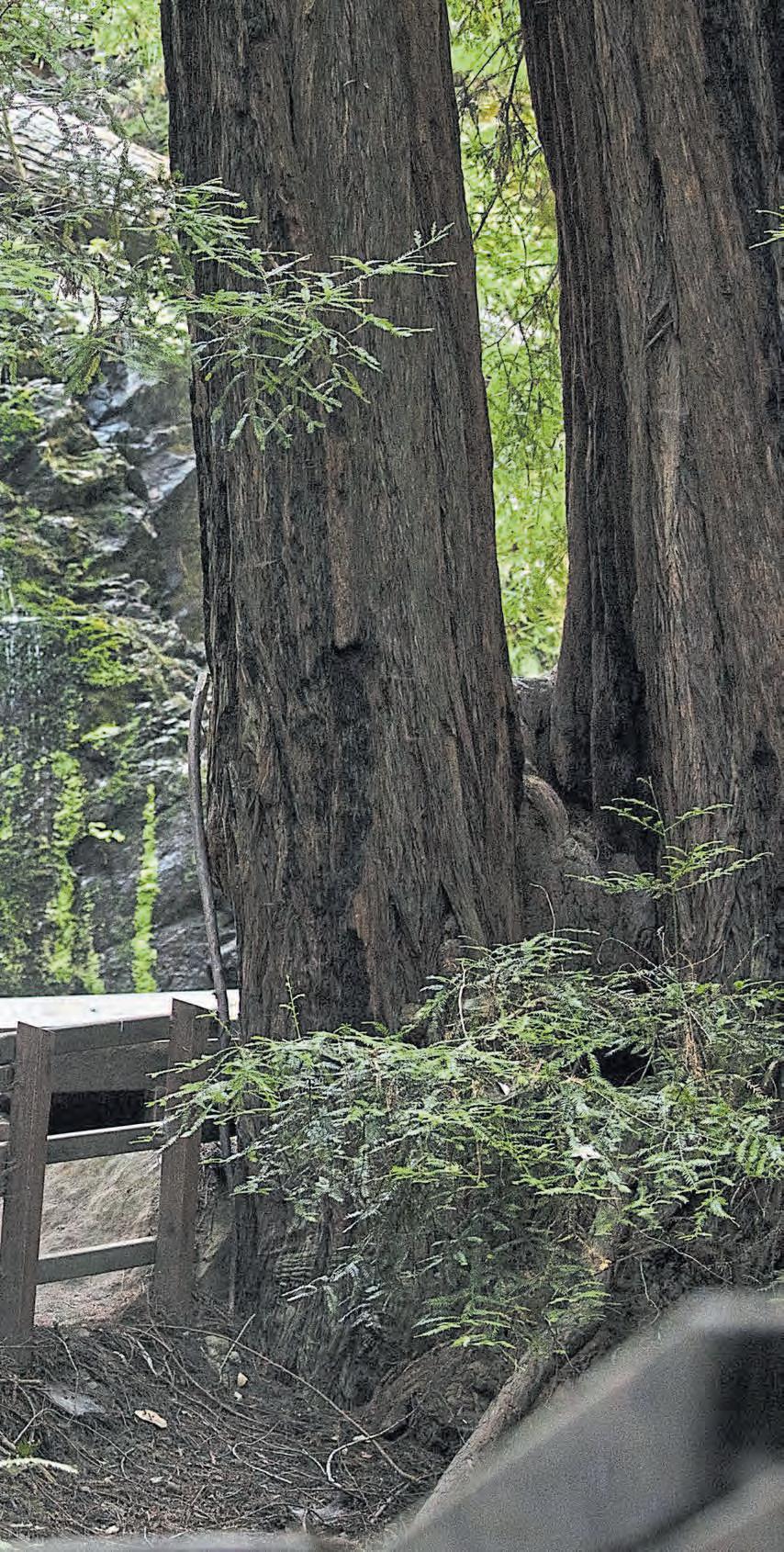
It wasn’t until I could see and hear Berry Creek Falls — one of the main sights along the trail that I had been waiting more than six hours to see — that the negative thoughts began to fade.
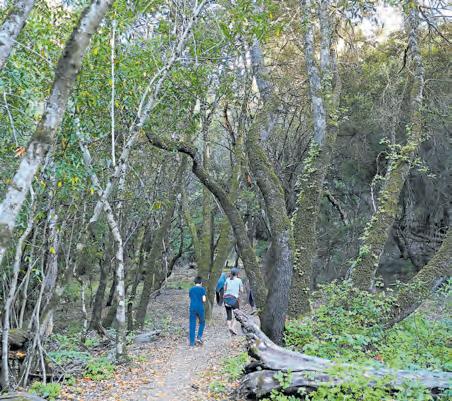
Although you can see the 70-foot waterfall from a vista point right on the trail, we continued on a short trail to see the falls from a viewing point right underneath, which was a great spot for a snack. Looking back now, it was the first time we had stopped and rested for more than 15 minutes at any point during the entire journey. A few more stops would have been wise.
From there, the rest of the hike — a 7 to 8-mile, mostly flat trail — was probably the easiest portion of the whole trek, despite the limp in my gait that was beginning to form after 25 miles of hiking.
When we finally could see a glimpse of the ocean — and my Hyundai Elantra awaiting us at the end — it was a sight to behold. I capped it off with a dip of the toes in the ocean waves and a flood of disbelief that we had just trekked all 33 miles of the Skyline-to-theSea trail.
Would I recommend hiking it all in one day? Probably not, but you do what you’ve got to do during a pandemic.
Would I recommend backpacking it — when it’s allowed — or breaking it up into portions for day hikes at a pace that allows for taking in the views?
Absolutely.
 BY LINDA ZAVORAL
The Peninsula’s perfect for pandemic-era adventures, with its acres and acres of protected coastline, park land and open space. And there’s something for outdoors enthusiasts of every skill level, from weekend wanderers to experienced hikers. Here are five great activities to enjoy right now.
Cross a reservoir or two: Popular with hikers, bikers, skaters and runners is the Sawyer Camp Trail (parks.smcgov.org/sawyer-camp-segment), which runs from Crystal Springs Reservoir to San Andreas Reservoir in the San Mateo highlands. For the first mile from the south, you may have to navigate around strollers, selfie-takers and cellphone talkers, but once you get past that stretch, you’ll be rewarded with woodsy, pretty scenery shared by deer and wild turkeys. For a less-crowded approach, start at the northern end. (Bonus: This paved trail is wheelchair-accessible.) Midway on both six-mile routes, you’ll find a hidden gem: The Jepson Laurel, the oldest and largest laurel tree in California. 600-plus years and counting!
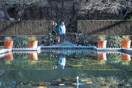
Explore Filoli: On any day of the week, you can stroll the gorgeous gardens of Filoli, the historic Georgian estate in Woodside. Director of horticulture Jim Salyards calls this season “A Summer of Purple, Chartreuse and Silver” – the Sunken Garden is planted with purple salvias and dahlias, silvery dusty miller and chartreuse nicotiana and zinnias, the Chartres Cathedral Window Garden with silvery pink and blue petunias, and there are thousands of blooms elsewhere. Daily hours are 10 a.m. to 5 p.m., and through Sept. 3, you can take a Thursday evening sunset stroll. Tickets must be purchased online at www.filoli.org.
NHAT V. MEYER/STAFF
Opposite:
KARL MONDON/STAFF
Investigate the San Andreas Fault Trail: Head to the Los Trancos Open Space Preserve in the Los Altos area to get an up-close look at the awesome power of Mother Nature. For your self-guided tour, you’ll want to download a map at home first from the Midpeninsula Regional Open Space website (www.openspace. org/preserves/los-trancos). Then keep your eyes peeled for all the evidence of earthquake activity as you walk back and forth over the San Andreas Fault. At several key points along the 1.5-mile trail, you’ll see how fault movement created pressure ridges, landslides and even led to trees growing horizontally after the 1906 temblor. Those nearby reservoirs? Quakes formed the huge depressions used for storing water.
Go kayaking: Foster City is the land of lagoons –more than 16 miles worth built around the city’s residential “islands” – and kayaking around those waterways has become hugely popular during this summer of staycations. A concession operation offered through the city’s Parks and Recreation Department, California Windsurfing (www.californiawindsurfing. com) rents single- and double-seat kayaks at the Leo J. Ryan Park lagoon. Operating hours are Tuesday through Sunday, and it’s a cash-only rental. Find them at the water’s edge at 650 Shell Blvd.
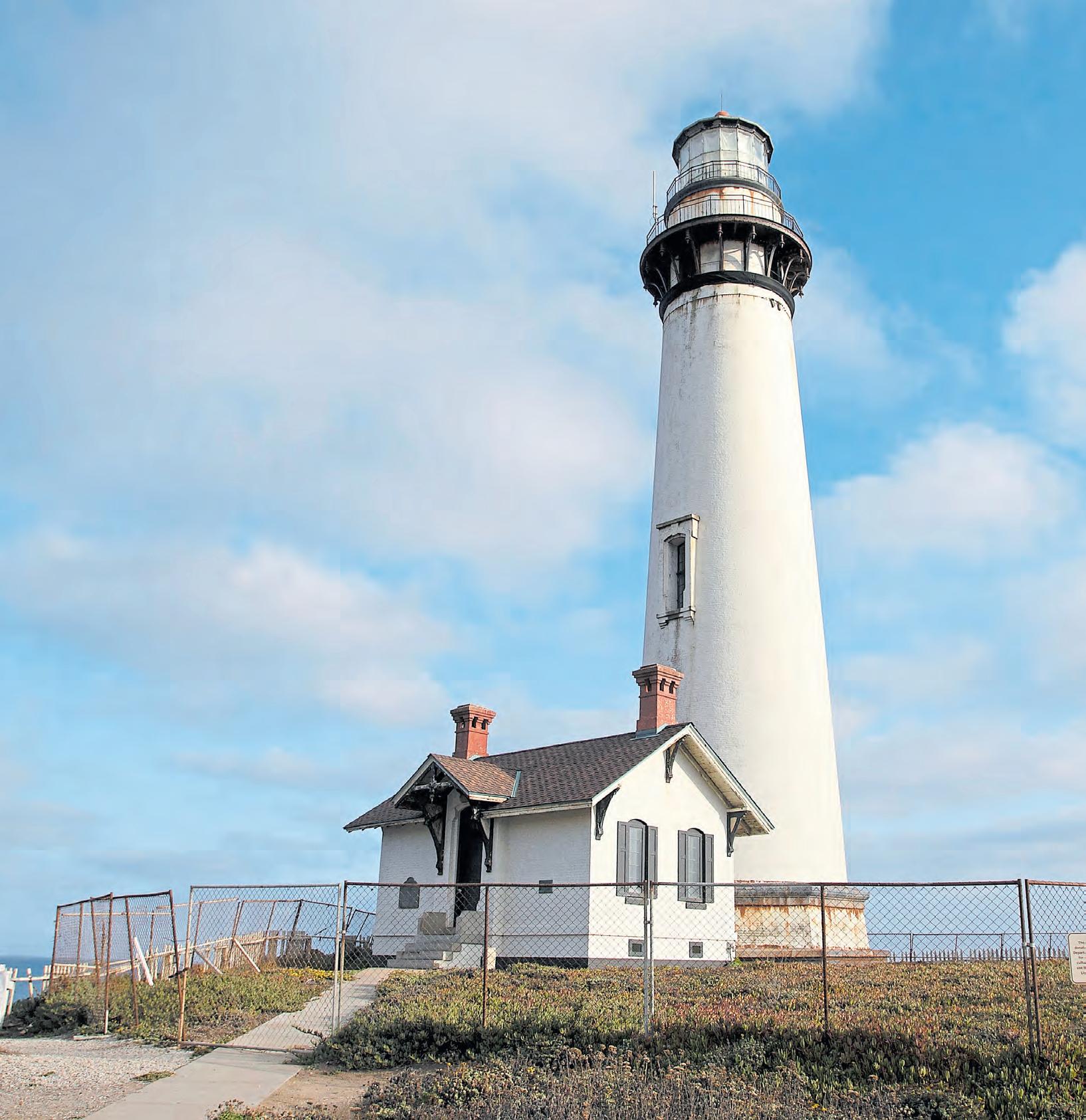
Check out the San Mateo County coast: Find spectacular views and fresh ocean air at the beaches between Año Nuevo State Park and the Pigeon Point Lighthouse. The Año Nuevo Natural Preserve, where visitors flock every fall to watch the elephant seals frolic, is temporarily closed to the public, so for now you’ll just have to pretend you hear the seal pups barking and honking. Up the coast in Pescadero, you can capture that iconic postcard view of the circa 1872 lighthouse. At 115 feet, it’s tied with Mendocino County’s Point Arena Lighthouse for “tallest on the West Coast” honors.

A wheel around Angel Island yields stunning views and sobering history
 STORY BY ETHAN BARON PHOTOS BY KARL MONDON
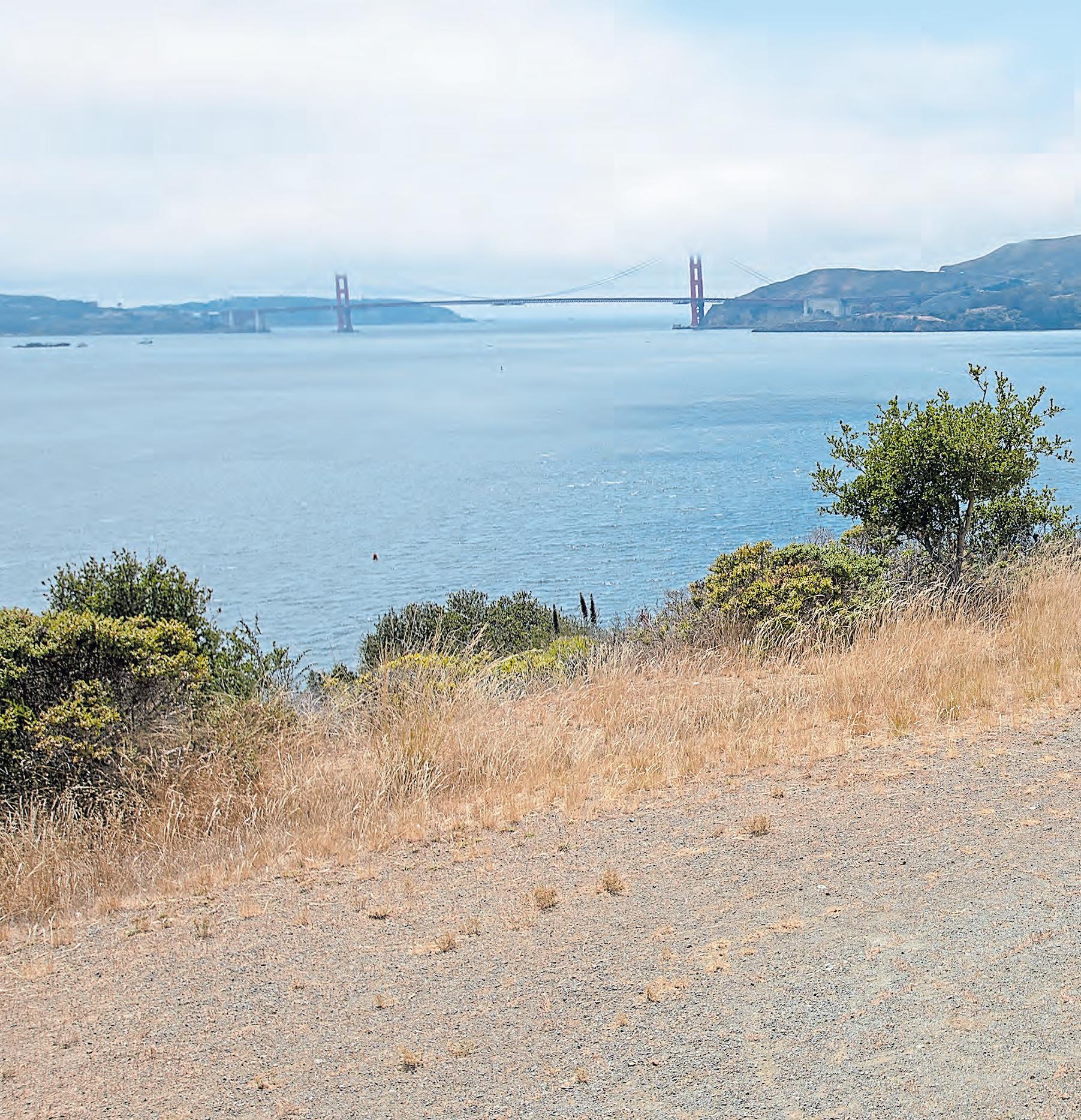
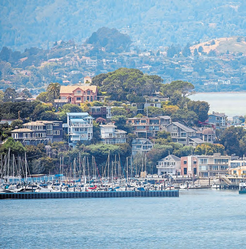
On Angel Island, you can take the high road or the low road — either way, you’ll have a bicycling experience unrivaled in the Bay Area. Every bend reveals a sweeping view, starting with the sight of sailboats gently bobbing at the lovely landing cove. Cycling from there, you’ll catch glimpses of Mount Tamalpais crouching over Marin County, the stunning Marin Headlands, the Golden Gate Bridge, San Francisco’s famously striking skyline and the East Bay hills. And then back around to Tiburon and Belvedere, whose residents look out from their hillside mansions on views that, sad to say for these wealthy folk, are far less encompassing than what you’ve just taken in.
Reached via a scenic 15-minute ferry ride ($15 round trip) from tiny, tony Tiburon, Angel Island is a state park and a panopticon of iconic Bay Area vistas
that requires only easy pedaling to circumnavigate. As you ride ’round, you’ll come across wildlife, classic coastal vegetation and some surprising — and not always enchanting — history.
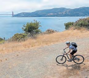
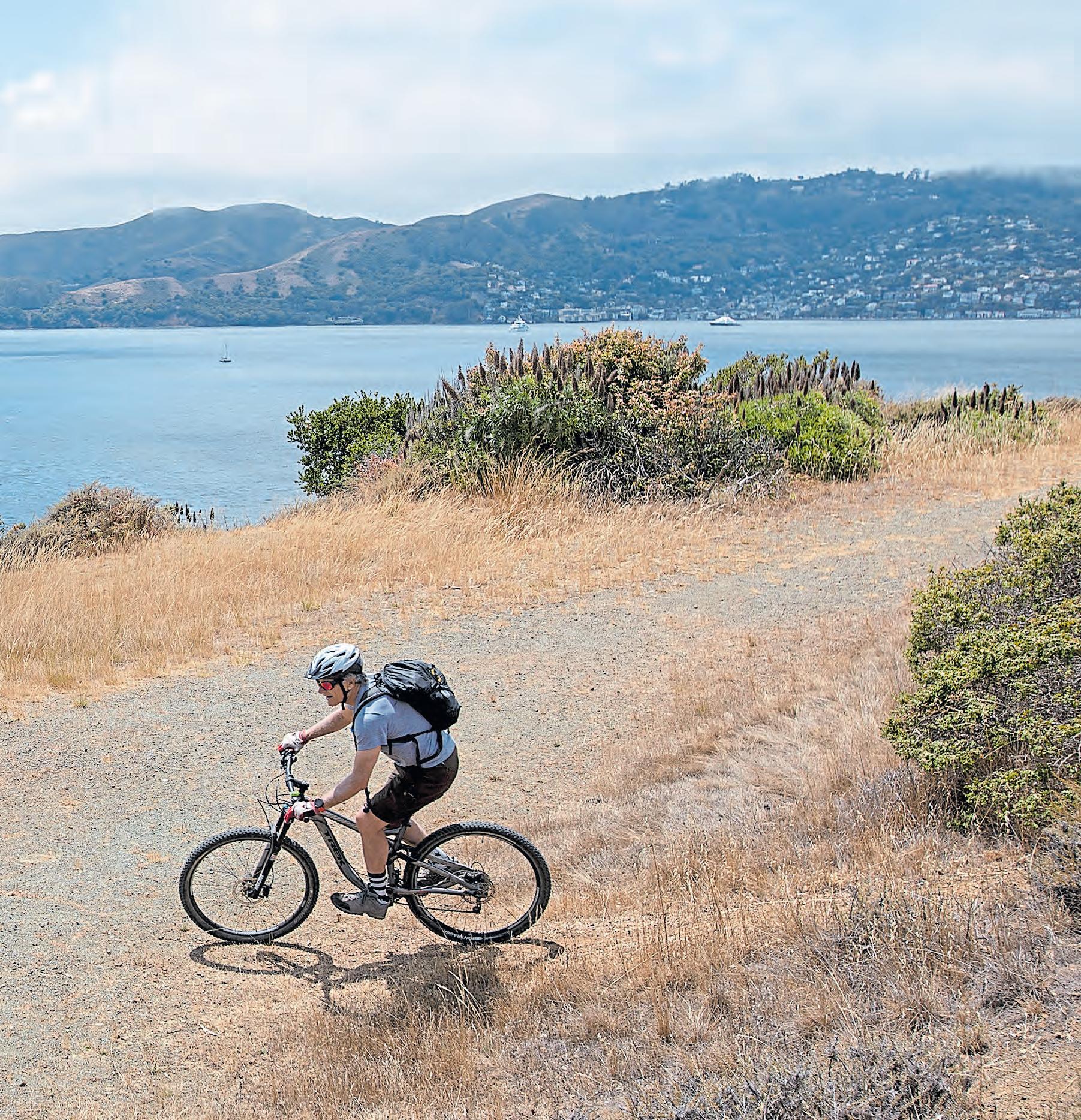
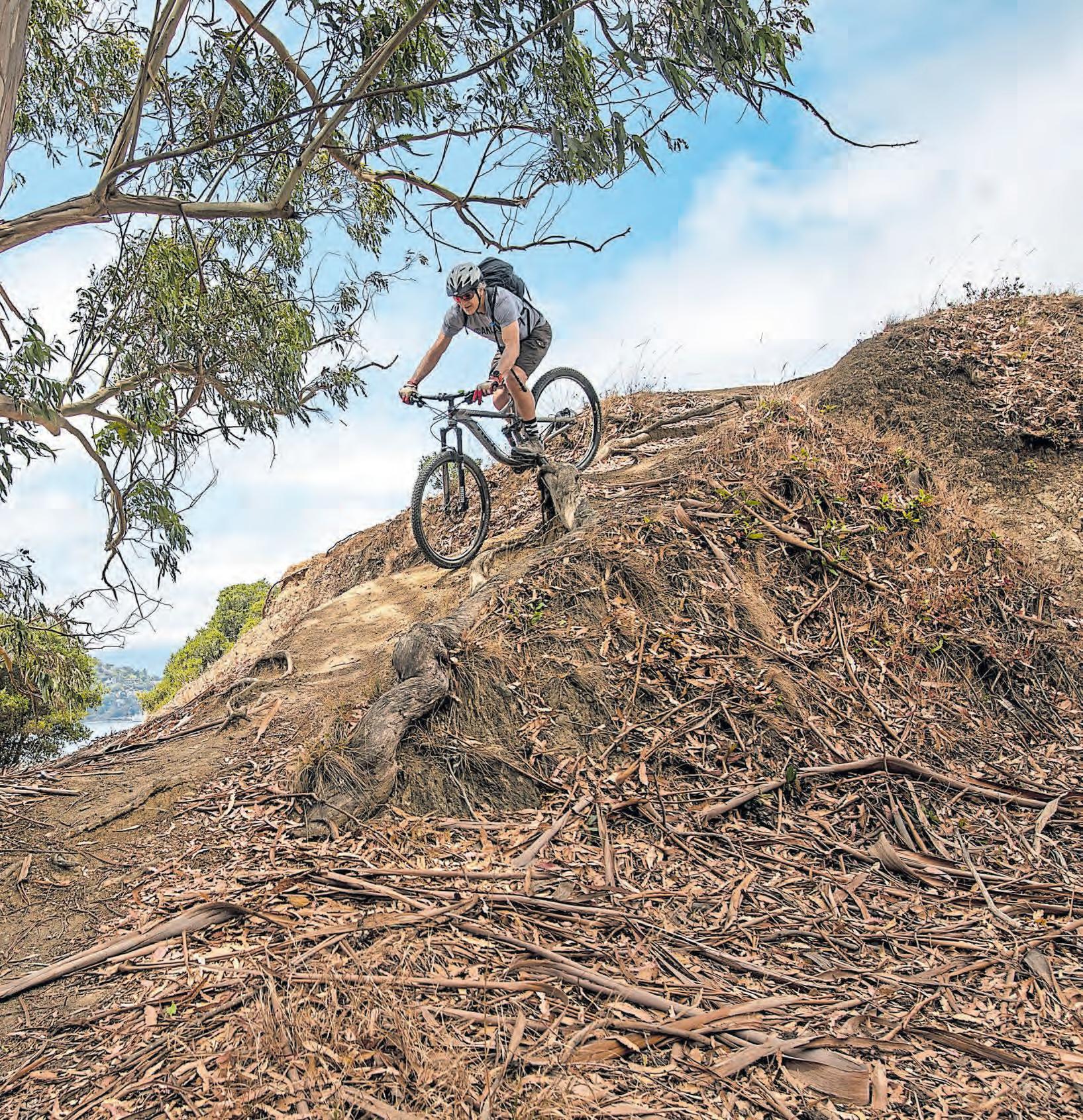
Taking in views from low and high, I rode my mountain bike around the island on the paved Perimeter Road that’s closer to the shoreline as well as the upper Fire Road, a wide dirt avenue that rings the island a few hundred feet below Mount Livermore’s 788-foot summit. The peak is named for Caroline Livermore, a Marin County conservationist who led the push to create the park in 1954.
My bike has front and rear shock absorbers, fat, knobby tires and 30 speeds, but this was overkill for Angel Island, where either circuit could be completed fairly easily on most bikes with 10 speeds or more. Riders on skinnier tires will want to watch their velocity on the Fire Road for safety reasons, and basic human decency suggests all riders should put aside the need for speed on these roads shared with hikers, walkers and stroller-pushing families.
Heading counter-clockwise on the Perimeter Road, after a short jaunt up a connector from the ferry landing, you’ll encounter only a couple moderate inclines between start and finish. For the first half of this low-road circuit, I was joined by a companion on a five-speed around-town bike, who only had to get off and push once for a few dozen yards at a short steep section on the south side of the island.
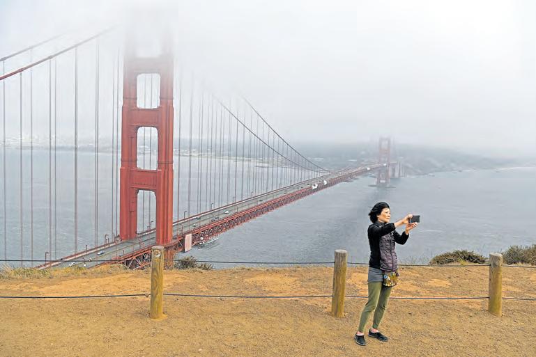
The smooth, wide road encourages leisurely cruising, with a premium on soaking up the vistas. On the day I rode, fog shrouded the upper regions of Mount Tam and the tops of the Golden Gate Bridge and cut the Salesforce Tower in San Francisco down to a more decorous size. Overhead, the white, fleecy blanket dimmed a blazing summer sun and cooled the air to ideal-for-riding temperature.
I gawked nonstop: at Marin with its gorgeous hills and ritzy residences, at the Golden Gate, suddenly revealed in its breathtaking splendor when I rounded a turn, at Alcatraz, the city, the other bridges, the sailboats leaned over on a white-capped bay. During the occasional uphills, breezes kept sweating to a minimum but rarely gathered sufficient force for headwinds.
After I cranked up a brief, steepish path from the Perimeter Road to the Fire Road, I repeated the ’round-the-island journey, watching puffs of wind make waves in the tall-grass meadows along the road on the island’s south side. Moseying along the northern slopes in dappled sunlight beneath the pines, oaks, bays and toyons, I spotted rattlesnake grass, orange sticky monkey flower and a great deal of poison oak beside the road. I slowed for a hefty mule deer buck with spreading antlers that eyed me from the roadside before bounding down the hill.
One amazement follows another here, but there is more on offer than world-class scenery and recreation. My history lesson started at the ferry landing in Ayala Cove, one of several sites on the island where 1,000 years or more ago, Miwok Indigenous people set up camps, gathered acorns and hunted deer, seals, otters and ducks and set out in reed boats to catch salmon in the Raccoon Strait. Idyllic — until it wasn’t.
The cove is named after Juan Manuel de Ayala, a Spanish naval officer who landed there in 1775 on a mission to map the San Francisco Bay. Ayala, who let his shipboard priest name the island after angels, was a compatriot and contemporary of Father Junipero Serra, founder of the Catholic Church’s California mission system, who arrived in the Bay Area two years later and left a legacy of enslaving and abusing native peoples.
Ayala Cove also holds the four remaining buildings of 50 structures that originally made up the Quarantine Station. Opened in 1892 to fumigate ships from foreign lands, the station detained immigrants suspected of carrying disease in 400-bed barracks.
Once you pedal up from the cove, the Perimeter Road provides access to the range of historical relics on the island. Past an off-limits U.S. Coast Guard station at Point Stuart and before the turn-of-the-century gun-battery platforms that overlook the Golden Gate, the buildings of the U.S. Army’s Camp Reynolds remain well-preserved. Two of them date back to 1867.
On the day I visited, kids were playing soccer on the old parade grounds. But this place, too, seeps dark history: As a post-Civil War infantry camp, it served as a staging area for bloody campaigns against the Modoc, Apache, Sioux and other tribes.
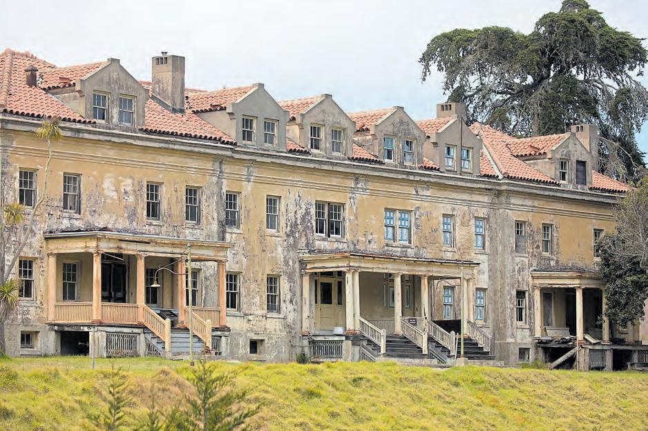
Across the island, Fort McDowell also boasts a variety of historical structures, some refurbished and in use by the park, others succumbing to time and weather, roof tiles missing, paint peeling and empty windows agape. Completed in 1899 to serve as a quarantine station for U.S. troops potentially exposed to diseases during the Spanish-American War and Philippine Insurrection, the fort became a processing center for hundreds of thousands of American soldiers heading out and coming home from fighting overseas through the 1930s. Beside it runs a gorgeous stretch of beach.
Rounding Angel Island’s northeast tip, you’ll find the preserved U.S. Immigration Station, which a signboard notes is often compared to Ellis Island but was not a place of welcome. “It was used to keep immigrants, specifically those from China, out,” the sign reads.
The station, built in 1910 largely to enforce immigration restrictions that began with the Chinese Exclusion Act of 1882, was used for three decades to detain, interrogate and examine would-be immigrants, including 175,000 Chinese citizens, many of whom inscribed poetry inside the buildings.
“There are tens of thousands of poems on these walls,” one poem reads. “They are all cries of suffering and sadness.”
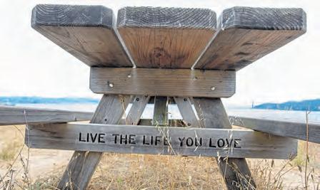
As disturbing as some of the island’s historical reminders may be, what dominates here is the epic scenery. Given the island’s proliferation of benches and picnic tables with panoramic views, adding a lunch stop to your Angel Island cycling adventure is highly recommended. Or you can take advantage of the offerings at Ayala Cove’s small cafe, which provides, among other libations, the perfect cap to many a mountain bike ride: ice-cold beer.
Getting there: Online reservations are required for the Angel Island Tiburon Ferry; https://angelislandferry.com. Service to the island by the Blue & Gold Fleet is suspended because of coronavirus.
Bicycling has boomed amid the coronavirus pandemic, as cooped-up people seek safe ways to exercise. In the Bay Area, mountain biking offers an abundance of safe exercise along with life-affirming doses of fresh air and natural beauty.
While perilous single-tracks exist, much of the region’s riding is accessible to nearly anyone on a mountain bike. Suspensions — shocks in the front or both front and rear — help smooth the bumps but aren’t necessary on many routes. All you need is a bike, a helmet, a basic repair and flat-tire kit, water, sun lotion, a map and, of course, some snacks.
Here are three locations offering rides for people of all abilities.
Mountain biking was born here, when Gary Fisher, Joe Breeze, Wende Cragg and other rebels added fat tires to road bikes and began blasting down dirt trails. Today, breaking the 15-miles-per-hour speed limit on the mountain can get you a costly ticket, but Mount Tam presents a range of scenic rides that are best enjoyed at lower speeds.
Recommended: Park near the Mountain Home Inn on Panoramic Highway in upper Mill Valley and ride on the broad fire roads to the West Point Inn, then up to East Peak, taking in panoramic views over the San Francisco Bay, Golden Gate and San Francisco skyline.

These adjacent parks in the Berkeley hills offer a wide array of rides that can take you from high, open meadows with expansive vistas down into thickly vegetated valleys. Keep your eyes peeled for coyotes, deer, bobcats and wild turkeys.
Recommended: From Inspiration Point on Wildcat Canyon Road, head out on the paved Nimitz Way trail with its sweeping views. From there, pedal along the ridge for seasonal wildflowers and vistas to the east and west, or descend to the lush, bird-filled thickets and pretty glades bordering Wildcat Creek.
Coastal Wilder Ranch, just north of Santa Cruz, offers beaches, coves and cliffs, rolling grassy hills, ravines full of redwoods and oak and madrone forest in the upper realms.
Recommended: Park in the lot beside Highway 1 and ascend Engelsmans Loop, Old Cabin Trail and Eucalyptus Loop to reach three picnic tables in a meadow with a sprawling view of the Pacific Ocean. To get back, take Eucalyptus and Wilder Ridge Loop and enjoy one of the most scenic downhills in Northern California.

People come from around the world to enjoy San Francisco’s unparalleled natural beauty. All we have to do is drive less than an hour to immerse ourselves in heart-pumping and fog-embracing activities. Put these five at the top of your list.
Explore the Crosstown Trail: Zip down the city’s new 17-mile trail, which runs diagonally from Candlestick Point State Recreation Area northwest to Lands End. You’ll cut through neighborhoods, like the Richmond and Seacliff, and gorgeous open space, including Golden Gate Park’s Strawberry Hill. Want something shorter or something on foot?
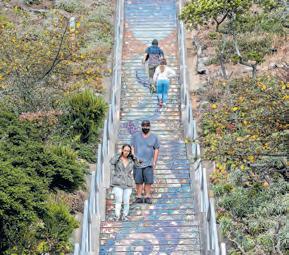
The Crosstown Trail is broken into five sections for shorter jaunts. Stroll section No. 3 into the Sunset district, and you can climb the Hidden Garden Steps at Kirkham Street and 15th Avenue to the 16th Avenue Tiled Steps. Find maps at https://crosstowntrail.org
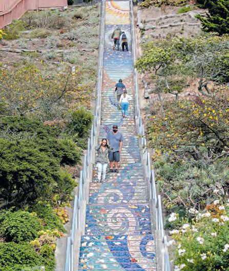
Jog across the Golden Gate Bridge: With commuter traffic low, now is the time to traipse across this iconic 1.7-mile bridge and take in its remarkable 746-foot tall towers. Those in the know park at the free Overlook Lot (formerly Langdon Court Parking) off Lincoln Boulevard; there’s no time limit, and it’s a five-minute walk to the bridge.
You’ll have opportunities to catch your breath and take in the stunning views at each end of the bridge — the Golden Gate Bridge Welcome Center and Vista Point — bringing your route to about four miles roundtrip. For current sidewalk closures, visit www. goldengate.org.
Surf Fort Point, if you dare: Advanced shortboard riders who haven’t slayed the beastly break under the Golden Gate Bridge are missing out on one of the
city’s wildest surfing experiences.
Wild because the harsh elements can make it dangerous, and regulars are notoriously territorial. But also because of the surrounding beauty and bigness. In addition to the towering bridge, you can see the Marin Headlands, Tiburon’s silhouette and the San Francisco skyline — and massive container ships passing closer than feels quite real.
Cruise the Farallons: It’s a splurge, but this naturalist-led whale-watching expedition from San Francisco to the wild Farallon Islands offers a 98-percent whale-sighting likelihood. It’s a 7½-hour cruise aboard a 56-foot vessel with 16 two-person whale watching stations spaced at least six feet apart.
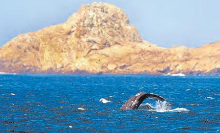
It’s the perfect time to go: Last month, researchers observed about 50 blue whales — an all-time record — in a single ride to the Farallon Islands. The Oceanic Society offers tours ($600 for two) on Saturdays through October. Looking for something shorter? There’s a 2½-hour Golden Gate Whale Cruise ($240 for two), too. Tours depart from the San Francisco Small Craft Harbor, 3950 Scott St.; www. oceanicsociety.org.
Hike a Presidio trail: Hikers of all ages and skill levels will find a favorite trail winding through this 1,491acre former army post, which offers tons to explore, from military buildings and a national cemetery to forests and beaches.
The 2.2-mile Batteries to Bluffs trail is hard to beat. The short trail hugs the ocean cliffs and includes historic gun batteries, springs and a side trip down to Marshall’s Beach. For a longer route, try the 6.6-mile Presidio Loop, a moderate trail that’s dog-friendly and winds through towering eucalyptus trees before circling the Presidio Golf Course. Find details at www. presidio.gov.

 BY JESSICA YADEGARAN, JIM HARRINGTON AND MARTHA ROSS

The Bay Area is blessed with endless opportunities to discover a new trail, park or open space. And surprisingly, you don’t have to venture far to enjoy the recreation and solace that comes from hitting the trail. Urban hikes are convenient, easily accessible and often closer to home than you realize. No matter where you live, from San Jose to Pleasanton or Richmond, there’s a shoreline, paved trail or path waiting to greet you and offer a bit of respite from the couch. Here are six we love, with a nearby spot for takeout or patio dining.
NHAT V. MEYER/STAFF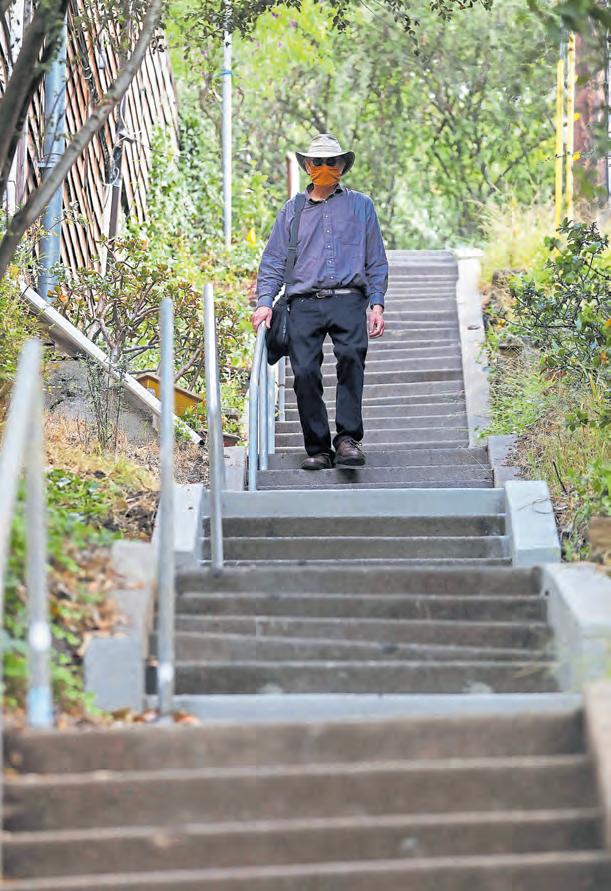
Exploring the historic staircases and paths that snake up and around the Berkeley hills may be the ultimate experience in urban discovery. You’ll get your heart rate up while climbing often-hidden steps that meander near forest-edged creeks and offer views of eclectic architecture, private gardens and public landmarks, including the Rose Garden and Lake Anza. Every so often, you’ll catch expansive views of San Francisco Bay and the Golden Gate Bridge.
Choose a staircase or two, or get ambitious and follow one route that travels more than 14 miles and includes 71 staircases during its 3,825-foot ascent.
Live Oak Park on Shattuck Avenue makes a great starting point for a hike up Berryman Path to the La Loma Steps, with their distinctive brick paving, pergola and stone walls, built in the early 1900s to give residents easy pedestrian access to a streetcar line.
Grab a bite: Some of Berkeley’s most beloved foodie institutions are open for take-out right now. It’s worth the wait to pick up bread and artisanal cheese (and half-baked pizzas to finish at home) from The Cheeseboard Collective at 1504 Shattuck Ave.; https:// cheeseboardcollective.coop. Or pick up latkes, blintzes and generous pastrami sandwiches at Saul’s at 1475 Shattuck Ave.; www.saulsdeli.com.
Details: You’ll find a list of more than 130 staircases and paths, maps and self-guided hikes at www. berkeleypaths.org.
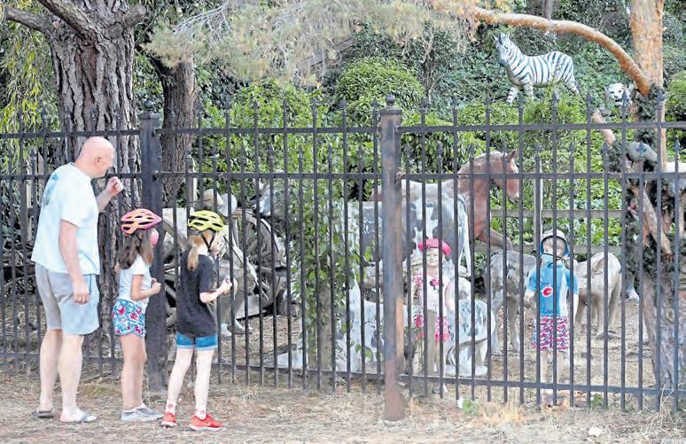
This mostly paved, 32-mile trail crosses seven cities in two counties, beginning in Concord near Highway 4 and extending to the Dublin/Pleasanton BART station and on to Shadow Cliffs Regional Recreation Area. The trail follows the Southern Pacific Railroad right-of-way — hence the Iron Horse name — that was established in 1891 and abandoned in 1978, passing through residential and shopping areas, under the 680 freeway and into some of the San Ramon Valley’s most picturesque greenbelt.

Hop on at the Rudgear Road Park & Ride, near Walnut Creek’s Whole Foods, and you’ll see a mix of hikers, cyclists and the occasional equestrian sharing the wide trail. With the exception of a few gentle slopes and turns, the Iron Horse Trail is flat and straight, making it a favorite with dog walkers and families, down to the youngest tricycle riders. While the trail is never packed, it does tend to be busier on weekends and right after work — say, 5 to 7 p.m. — during the week.
Grab a bite: Fuel up with Hawaiian poke (or cool off with apres-hike Dole Whip) at Walnut Creek’s Pokeatery, 1345 Newell Ave.; www.pokeatery.com. We also love the specialty salads and pizzas at Blue Line Pizza, which is open for outdoor dining at 550 Hartz Ave. in Danville; https://bluelinepizza.com.
Details: The trail has multiple access points, including Pleasant Hill BART, Walnut Creek’s Civic Park, Alamo Square shopping center and downtown Danville; www.ebparks.org/parks/trails/iron_horse
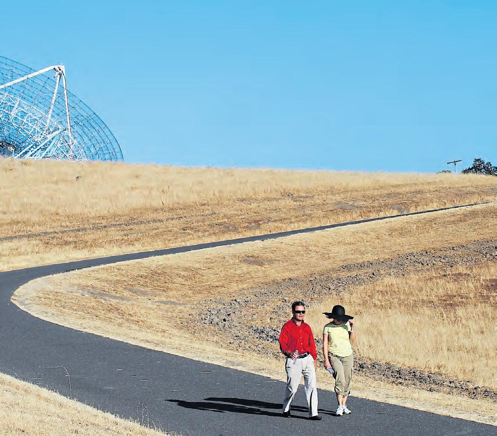
Walking “The Dish” is a tradition for Stanford students and tech workers alike. The 3.3-mile loop is minutes away from some of Silicon Valley’s most powerful companies and just across the street from the elite university, but it feels worlds removed from the hustle and bustle.
The views from the foothills are dramatic, but what really demands your attention is the Dish itself, a 150-foot-wide radio telescope built in 1961 by the Stanford Research Institute. The Stanford Dish reopened last month with safety protocols that include making the trail a one-way, counter-clockwise loop to assist social distancing.
Grab a bite: Head down to California Avenue afterward for shawarma and baba ghanoush at longtime favorite Mediterranean Wraps, 433 S. California Ave.; mediterraneanwraps.com. Prefer breakfast? Try the pancakes at Joanie’s Cafe, 405 California Ave.; joaniescafepaloalto.com.
Details: The trail entrance is on Junipero Serra Boulevard at Stanford Avenue; dish.stanford.edu.
This expansive shoreline is touted as the nation’s largest off-leash dog park — with stunning views of the Golden Gate Bridge, Marin County and Brooks Island to boot. You’ll find half of the park, a 23-acre swath with rolling hills and paved, looping paths at the west end of Central Avenue, and another 20 acres — North Point Isabel — across the Hoffman Channel.
Let your dog sniff everything in sight while you get your steps in, birdwatch and check out the kite boarders playing in the wind. Point Isabel is an official San Francisco Bay Water Trail trailhead, making it a popular spot for everything from kayaks to SUP.
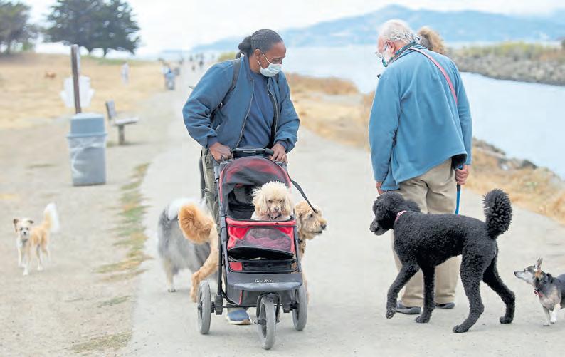
After your furry sidekick has played in every inch of mud, hand him over to Mudpuppy’s Tub & Scrub (1 Isabel Street, open Thursday-Tuesday) for a wash and groom while you grab a to-go treat — perhaps a veggie bagel or espresso — from The Sit & Stay Cafe next door.
Grab a bite: Head for East Richmond for a taste of the city’s epic Tijuana-style Mexican food to-go — handmade tortillas, flame-grilled meats and guacamole-topped tacos — at Tacos El Tucán, 12505 San Pablo Ave.; www.tacoseltucan.com
Details: Find Point Isabel’s parking lot at 2701 Isabel St., Richmond; www.ebparks.org/parks/pt_isabel.
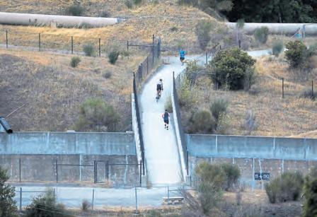
This 11-mile scenic trail bustles on warm weekends. Cyclists and runners hit the pathway to work up a sweat, while leisurely strollers amble along, pausing to watch the water ripple along gorgeous Los Gatos Creek.
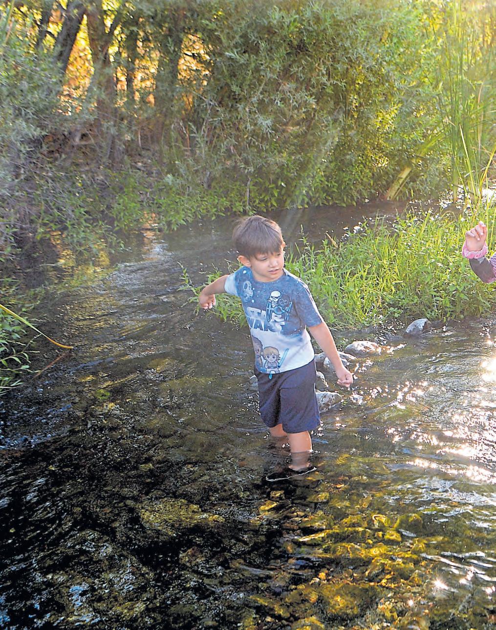
The main portion of the trail is a 9.3-mile stretch that runs from San Jose’s Meridian Avenue to the hills above Los Gatos. You’ll pass through some of the South Bay’s loveliest parks — including Vasona Lake, Oak Meadow and Los Gatos Creek — as you head into downtown Los Gatos. From there, you’ll leave the paved portion of the trail behind as the hike grows more strenuous on its way to Lexington Reservoir.
Prefer to stick to San Jose? A second portion of the trail branches off about a mile from the Meridian Avenue entrance at Lonus Street and runs along the creek for approximately two miles before ending at San Carlos Street.
Grab a bite: Los Gatos’ beloved Happy Hound is the most popular place in town for burgers, hot dogs and huge orders of fries; 15899 Los Gatos Blvd., happyhoundrestaurant.business.site. Or reserve a table on the patio and enjoy some upscale comfort food at Flights Restaurant by Alex Hult, which has locations in Campbell and Los Gatos; ca.flightsrestaurants.com. And if you’re sticking to San Jose, check out Anchors Fish & Chips & Seafood Grill; anchorsfish.com.
Details: The trail’s multiple access points include Vasona Lake, Los Gatos Creek, Oak Meadow and Campbell parks, as well as Meridian Avenue near Liebelt Court. Some access points have parking lots, while others have street parking. Find maps at www.losgatosca.gov/907/ Los-Gatos-Creek-Trail.
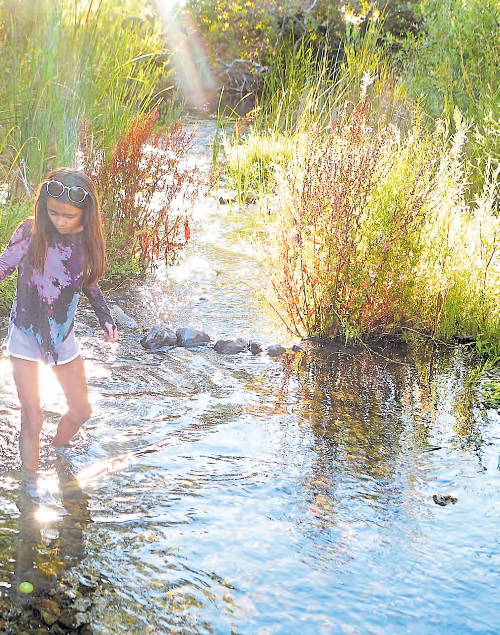

September is a particularly lovely time to visit this 847-acre open space park nestled in the hills of Livermore Valley’s wine country. The leaves on the park’s stately namesake trees and neighboring vineyards start to turn gold and red, as the region’s wineries prepare for harvest.
Starting at the Wetmore Road entrance, a network of mostly flat trails passes through a native garden and nature loop or winds through the sycamores, a popular spot for engagement photos, as well as hide-and-seek. A paved two-mile trail follows Arroyo del Valle south to the Arroyo Road entrance, near the Wente Vineyards gate. Another 2.6-mile loop takes visitors by the ruins of the Olivina Winery, built in the 1880s. And signage along the way offers insights into the park’s flora, wildlife and history.
Grab a bite: This is prime wine country. Make reservations for outdoor wine and food pairings at Dante Robere Vineyards, where tapas and wood-fired pizza are offered on select weekends: 1200 Wetmore Road, www.danterobere.com. Or make those rezzies for charcuterie and wine flights at Las Positas Vineyards, 1828 Wetmore Road; www.laspositasvineyards.com.
Details: Find the park’s parking lot ($5), picnic tables and restrooms at the Wetmore and Arroyo road entrances at both ends of the park; www.larpd.org/ sycamore-grove-park
East Bay residents tend to play as hard as they work. Fortunately, the region features a number of idyllic places and opportunities to escape the daily grind. There are Mount Diablo and Tilden Park, of course, but here are five other wonderful possibilities — and we’re just barely scratching the surface. Given the ever-changing nature of the coronavirus pandemic, it’s always wise to consult official websites for closures and/or operational changes.
Kayaking the Oakland Estuary: Many of the eateries that line Jack London Square offer fine views of the Oakland Estuary. But instead of simply gazing at it, why not get out on it? If you don’t have your own watercraft, head to California Canoe & Kayak (www. calkayak.com), a paddlesports company in the Square that offers a variety of rental opportunities, classes and guided trips with easy access to the channel.
Once out on the water, you’ll get an exhilarating taste of urban kayaking as you paddle past the giant cranes of the Port of Oakland, the Park Street Bridge and other sites, all while giving those arms a good workout. Be sure to keep your eyes peeled for wildlife, including seals.

Cycling in Benicia: We’ve been told that a bike is more than a mode of transportation – “it’s a happiness machine.” A great place to get your happy on is Benicia.
Recognized by the Amgen Tour of California and Ride Chronicles for its top-notch cycling, Benicia offers a marvelous range of treks — from low-stress, family-friendly paved trails to hardcore hills for experienced cyclists. As you pedal about, soak in scenic views of the Carquinez Strait and the city’s historic architecture. Need inspiration? Check out these 10 great bike rides at https://bayareane.ws/BeniciaBike.
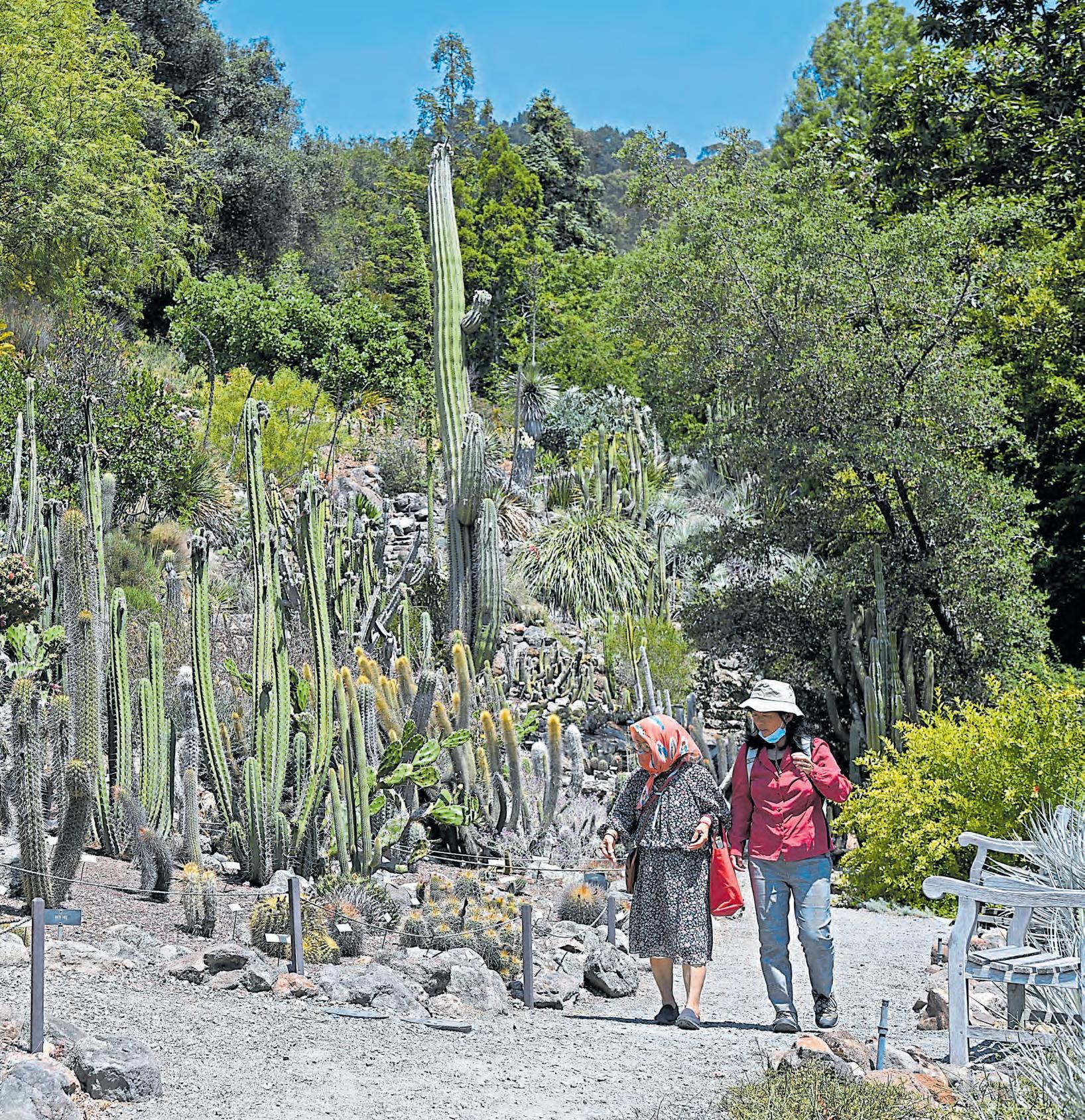
Stroll through Berkeley’s botanical garden: So you want to enjoy the outdoors without amping up the cardio? The 34-acre UC Botanical Garden (botanicalgarden.berkeley.edu) is a great place to chill out while taking what the staff calls a “contemplative tour.”
This East Bay jewel, which recently reopened after a three-month closure and requires reservations now, is one of the most diverse landscapes in the world, with more than 10,000 types of plants, including many rare and endangered species. It features nine regions of naturalistic plantings from Italy to South Africa, along with a huge collection of California native plants.
LAURA A. ODA/STAFF ARCHIVE
Opposite: The UC Berkeley Botanical Gardens’ Deserts of the Americas is one of nine sections that showcase plants from different regions of the world, including the Mediterranean, Australasia and California.
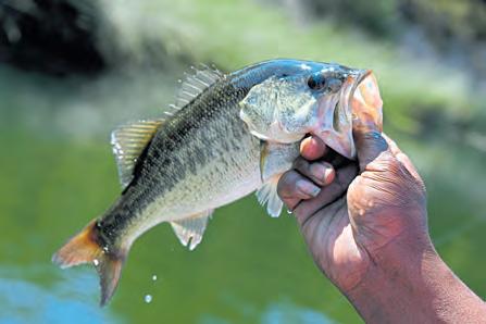
Fishing at Lafayette Reservoir: The Bay Area is blessed with a number of great fishing spots, and the kid-friendly Lafayette Reservoir (www.ebmud.com/ recreation) is among the best. Each year, thousands of trout are planted — joining bluegill, black bass, black crappie and several kinds of catfish.
Due to the pandemic, the boat rental and launch area have been closed. But the good news is that the reservoir features plenty of reliable spots for shoreline fishing.
Reinhardt Redwood Regional Park: This oasis away from nearby city life offers 38 miles of shaded trails, along with peaceful groves and jaw-dropping views. Take a deep breath and feel your worries melt away.
In addition to a lush forest of towering coast redwoods, the park’s 1,830 acres also contain other evergreens, chaparral, ferns and grasslands. Wildlife includes rare species, such as the golden eagle and Alameda striped racer. Deer, raccoons, rabbits, and squirrels are often spotted, as well. www.ebparks.org/ parks/redwood/


Surfing has held a mystical allure in Santa Cruz for well more than a century. But there was a time when the practice didn’t exist there — or anywhere in North America.
Until, suddenly, it did.
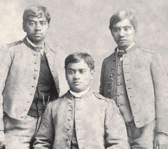
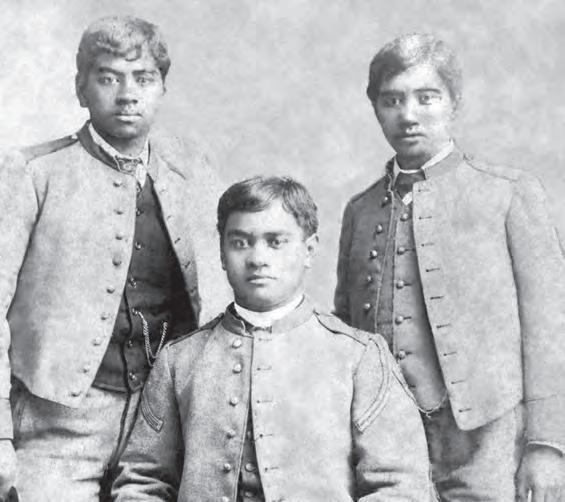
As the legend goes, it was a warm July day in 1885, when three young Hawaiian princes plunged into the waters at the mouth of the San Lorenzo River and, to the amazement of those watching from the beach, began riding the waves atop long, heavy planks made of local redwood.
“I’m sure everyone was astounded,” says Kim Stoner, a lifelong surfer and Santa Cruz historian. “They were probably going, ‘Wow, those guys are walking on water!’”
David Kawananakoa, Edward Keli’iahonui and Jonah Kuhio Kalaniana’ole, nephews of King Kalakaua, were on a break from a military school in San Mateo and spending an idyllic summer with a prominent Santa Cruz family. Their longboard escapades were chronicled in a local newspaper article — the first documented evidence of surfing on the U.S. mainland.
These adventurous teen royals, of course, were simply hanging loose and enjoying a ritual ingrained in their island heritage. They couldn’t have known that this and future visits would help shape the cultural identity of Santa Cruz — or that they’d someday be commemorated on a plaque along West Cliff Drive.
Or that two of the hulking boards they rode would find their
way back from Hawaii 130 years later and become part of a stirring 2015 exhibit that set attendance records at the Santa Cruz Museum of Art and History.
“I tell you I get chicken skin just talking about it,” says Bob Pearson, a well-known Santa Cruz surfboard shaper who was part of the team behind the exhibit and who believes those princely boards are “insanely precious.”
“They’re like the Holy Grail,” he insists.
For Pearson and other longtime Santa Cruz surfers, few things in life can beat shredding the breaks at Steamer Lane or Pleasure Point. Richard Schmidt, who has run a surf school here since 1978, says growing up among the waves blessed him with “a magical sense of wonderment that never fades.”
Jane McKenzie, the president of the Santa Cruz Longboard Union, calls being out on the ocean “kind of like my church.”
But they get almost as stoked when discussing the colorful surfing history and culture that permeates their quirky, laid-back seaside community.
Hang with them for a while, and they’ll regale you with stories about local legends of days gone by who fueled the sport’s evolution. They’ll fondly recall how the late Jack O’Neill revolutionized cold-water surfing with the invention of the wetsuit, and with great pride, they’ll school anyone who will listen that Santa Cruz has been formally recognized as a World Surfing Reserve, in part, because of its “pervasive and deep-rooted surf culture.”
Says McKenzie, “You have a lot of people here who not only love surfing, but who are absolutely passionate about the history.”
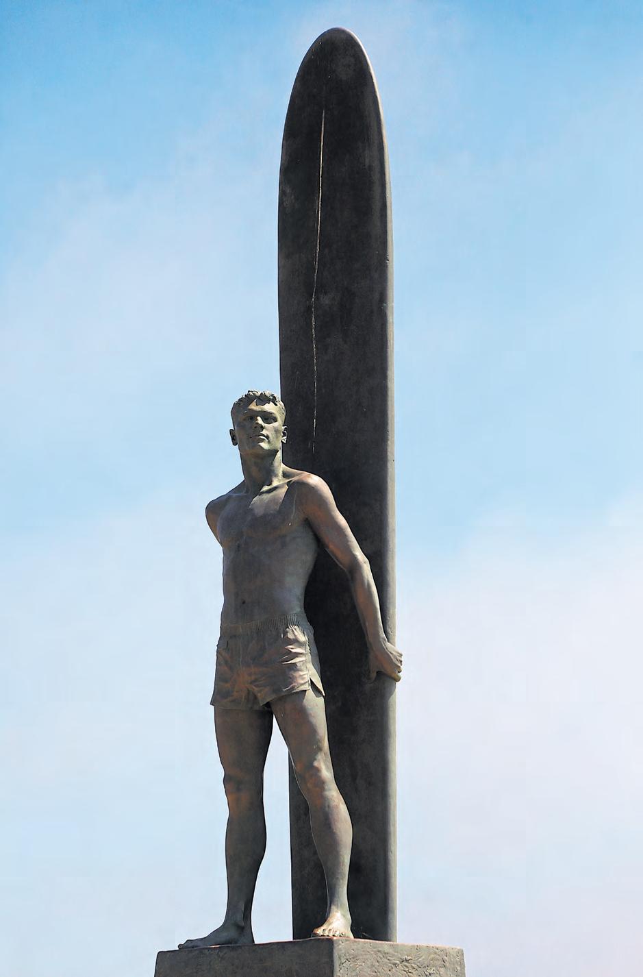
And one of the great things about Santa Cruz is that history is easily accessible. You can snap selfies in front of the 18-foot bronze surfer sculpture, erected in 1992 in memory of Santa Cruz Surfing Club founding member Bill Lidderdale. Or you might choose to chill out at the Jack
O’Neill Restaurant & Lounge, when it reopens at the Dream Inn, which offers grand views of Monterey Bay and is adorned with mementos paying tribute to the late visionary.
And the city, of course, is teeming with super-cool surf shops that carry the latest boards and wares.
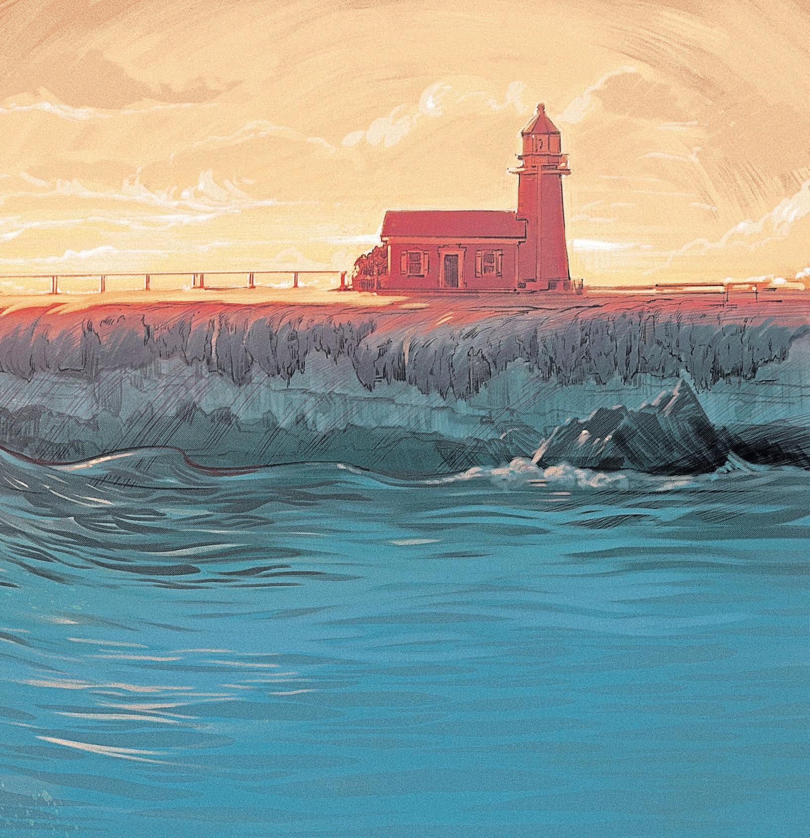
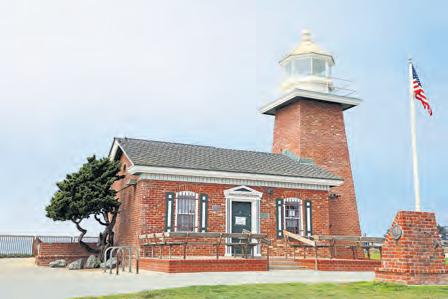
But the essential place to start is the quaint Santa Cruz Surfing Museum, when it reopens at the Mark Abbott Memorial Lighthouse on West Cliff Drive. This little gem, which first opened in 1986, packs a lot of memorabilia into a small amount of space, including vintage photographs, videos and artifacts tracing more than 100 years of surfing life in the region.
“There’s so much in there, and we’re kind of tapped out for
space,” says Stoner, one of the museum’s founders. “But we like it the way it is.”
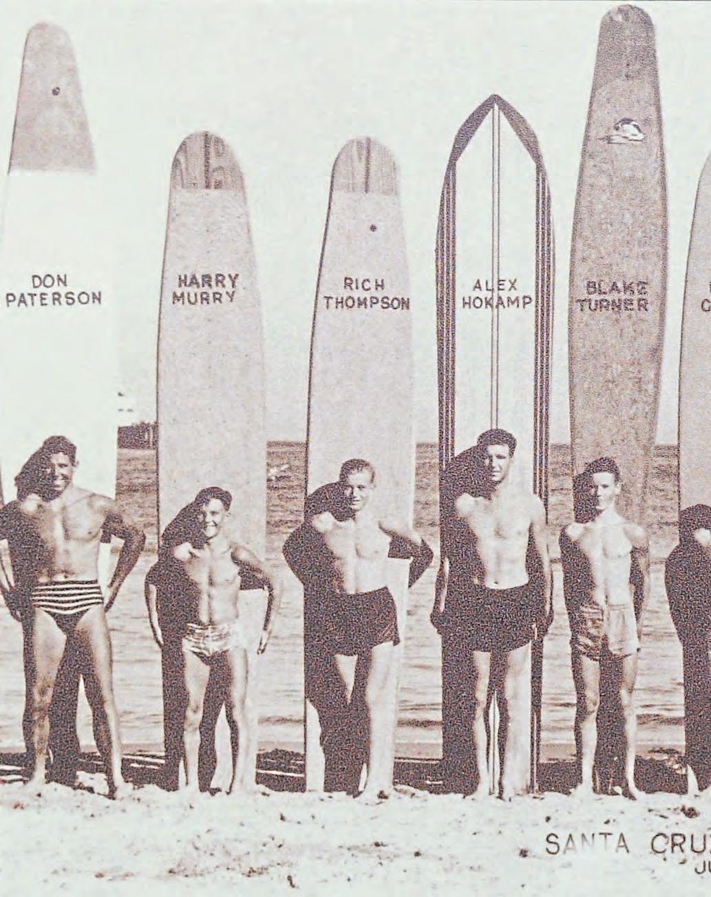
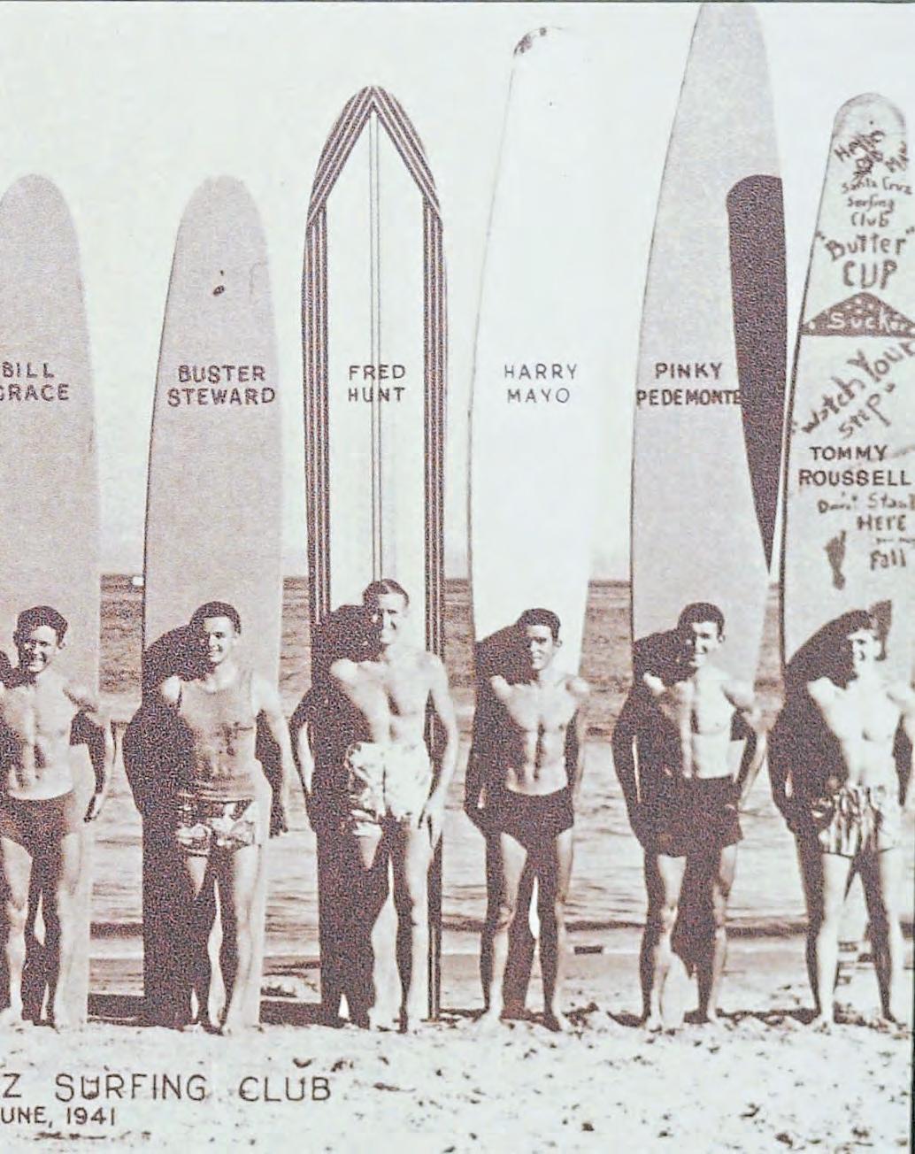
Among the treasures inside are photos of members of the first local surf club, which had humble beginnings in 1936 in the basement of surfer David “Buster” Steward’s parents’ home. In addition, homage is paid to the pop-cultural impact of surfing (including the classic film “Endless Summer”). And there’s an exhibit that documents the ever-changing makeup of surfboards — from those big primitive slabs of wood to the sleek and flashy fiberglass rides of today.
Howard “Boots” McGhee, a longtime local surfer and environmentalist, has treated countless school kids to tours of the museum over the years and never tires of watching them fawn over
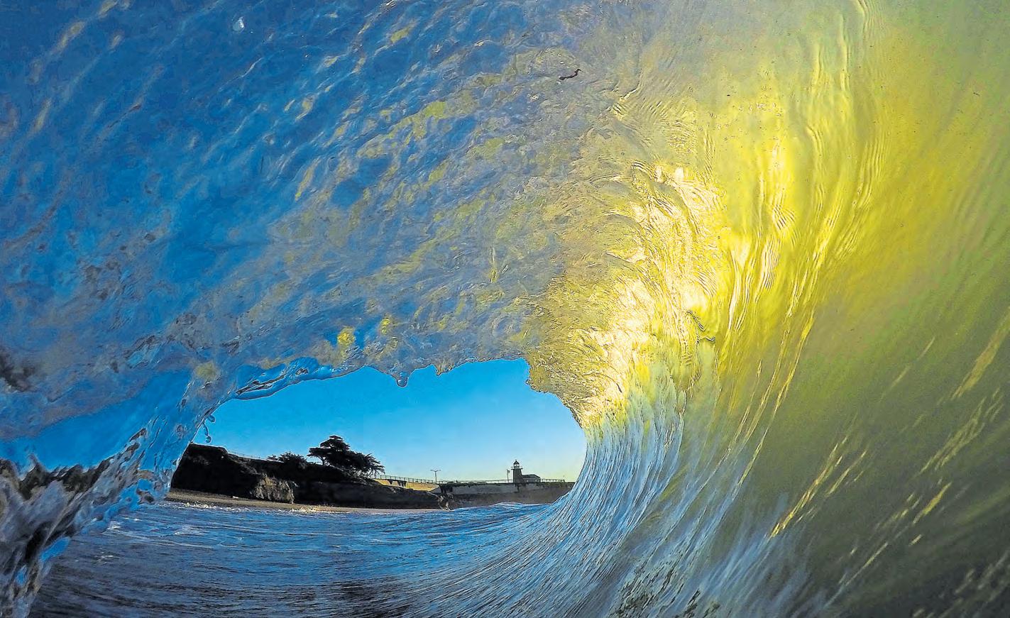
the boards or become “dead silent” when they see one that was chomped by a shark.
McGhee loves the “can-do ideology” exuded by the museum and marvels at how it opens up a whole new culture to many visitors.
“I’ve seen a lot of people come here from all over the world who know nothing about surfing,” he says, “And they end up going home with $35 T-shirts.”
But perhaps the best thing about the museum is outside. It’s perched on a bluff above the body of water known as Steamer Lane. Here, you can join awestruck landlubbers along the railing to watch the thrill-seekers below dance upon the waves in one of the most famous surf spots in the world. (While there, check out the plaque dedicated to those Hawaiian princes).
If you’re inspired, you’ll actually want to get into the water. As McKenzie says, “When you sit in the ocean, it’s a much different experience than standing on a cliff and looking at it. The tactile dimension is totally different. Even watching the sunset is different.”
That said, a great place to earn your stripes is Cowell Beach, sometimes described as the “bunny slope” of surfing. Located in front of the Dream Inn, it features a sandy bottom and gentle breaking waves. It’s where Schmidt and other instructors teach beginners the fundamentals — and etiquette — of surfing.
But be forewarned that plenty of people these days have the same idea. McGhee compares trying to break into the local lineups “to pulling into a crowded freeway.” And Schmidt admits that he has had to turn some customers away during the pandemic.
“People want to get out into the ocean. They need a release,” he says.
But Schmidt insists that, for those who do manage to venture out there and find their mojo atop a surfboard, there’s nothing else like it.
“I love seeing the thrill students get,” he says, “when they can harness the energy and the surge of the ocean.”
And follow in the footsteps of those three Hawaiian princes.

Much of the Bay Area is an outdoor mecca, but Santa Cruz is kinda The Outdoor Mecca. Yes, those lucky enough to reside in the 831 can get pretty smug about it. But it’s amazing not to have to leave the area — or travel more than five miles in any one direction — to immerse yourself in nature and indulge in whatever type of mellow or challenging activity appeals that day. Here are five possibilities.
Mountain bike Wilder Ranch: Since Covid-19 shut down our indoor hobbies, the mountain bike industry has been booming. “One hundred percent busier” than this time a year ago, said one Westside bike shop employee. “Our industry has never seen a boom like this,” said another.
What that means for those looking to rent a bike: Book it early. At shops that haven’t sold off their rental fleets due to backlogs on new bikes, $40/day will get you a traditional hardtail; $80 gets you full suspension or an e-bike. Those eMTBs are the new rage. No longer are human legs limited by human limitations — and the handling has greatly improved. Wilder Ranch’s 7,000 acres are dotted with trails that dip below meadows and end up on coastal bluffs overlooking hidden caves and deserted beaches. Check for info and a trail map by searching Wilder Ranch at parks.ca.gov, and off you go.
Other top beginner-friendly trails: The Emma McCrary Trail (EMT) in the Pogonip, DeLaveaga Park and parts of Henry Cowell and Nisene Marks.
Learn to surf at Cowell Beach: Unsurprisingly, surf lessons have also become a COVID hot commodity. “It’s crazy — we’re nonstop, up 125 percent for sure,” said one instructor with Club Ed Surf School and Camps. Which is why we tell you this first: If you have
Above: The wild expanse of Wilder Ranch’s 7,000 acres beguiles hikers and mountain bikers alike.
Opposite: A canopy tour at Felton’s Mount Hermon Adventures sends Kellon Dietrich, 16, into the towering redwoods as he navigates an intricate obstacle course.
a friend who is patient and zen enough to teach you to surf, you have a friend for life. There are many details, from wetsuit fit and water fitness to — most importantly — wave reading and surf etiquette. There is so much to learn about the surf environment and about safely paddling and navigating your big foamie craft around other wave-hungry humans before you ever get to the surfing part. Club Ed (club-ed.com) and Richard Schmidt Surf School (richardschmidt.com) are the most veteran operations.
Hike the Forest of Nisene Marks: One of the crown jewels of Santa Cruz flora lies just off State Park Drive in Aptos. Nisene (parks.ca.gov), a second-growth red-
wood forest that was clearcut in the early 1900s, has plenty to offer, from the 1.4-mile Old-Growth Loop to the 15-mile there-and-back to Five Fingers Falls.
Not-so-fun fact: The devastating Loma Prieta earthquake’s epicenter in 1989 was located here along the Aptos Creek Trail. Tread lightly!
Do a canopy tour in Felton: COVID is keeping the full zipline eco-adventures from happening for now. But there is still a fun mid-air walk to be had among the redwoods via Mount Hermon Adventures (www. mounthermonadventures.com) and its Sequoia Aerial Adventure. Rope and timber obstacles are suspended between towering trees, and a few optional zipline elements add to the thrills.
The two-hour tours ($80) send you 80 feet above the forest floor. Embrace your inner Ewok and do it.
Anchors aweigh on the Chardonnay: You don’t need your own grand yacht (or dinghy) to take to the waves. The Chardonnay II, a 70-foot sailing yacht, hosts sunset sails from Santa Cruz harbor each week. Enjoy wine, beer, sodas and light bites as you socially distance on deck and take in the fresh ocean breezes and rosy hues just outside the breakwater.
Chardonnay Charters does themed outings, too, including sails with winemakers or brewmasters aboard. The sunset sails run $38.50 for kids and $68 for adults, and you’ll need reservations; www. chardonnay.com.
• Fishing via Stagnaro Charters out of Santa Cruz Harbor
• Low-tide walk/run on the beach from Capitola to Pleasure Point
• Take a run/walk along West Cliff Drive
• Rent a kayak or SUP and explore Santa Cruz Harbor and areas nearby


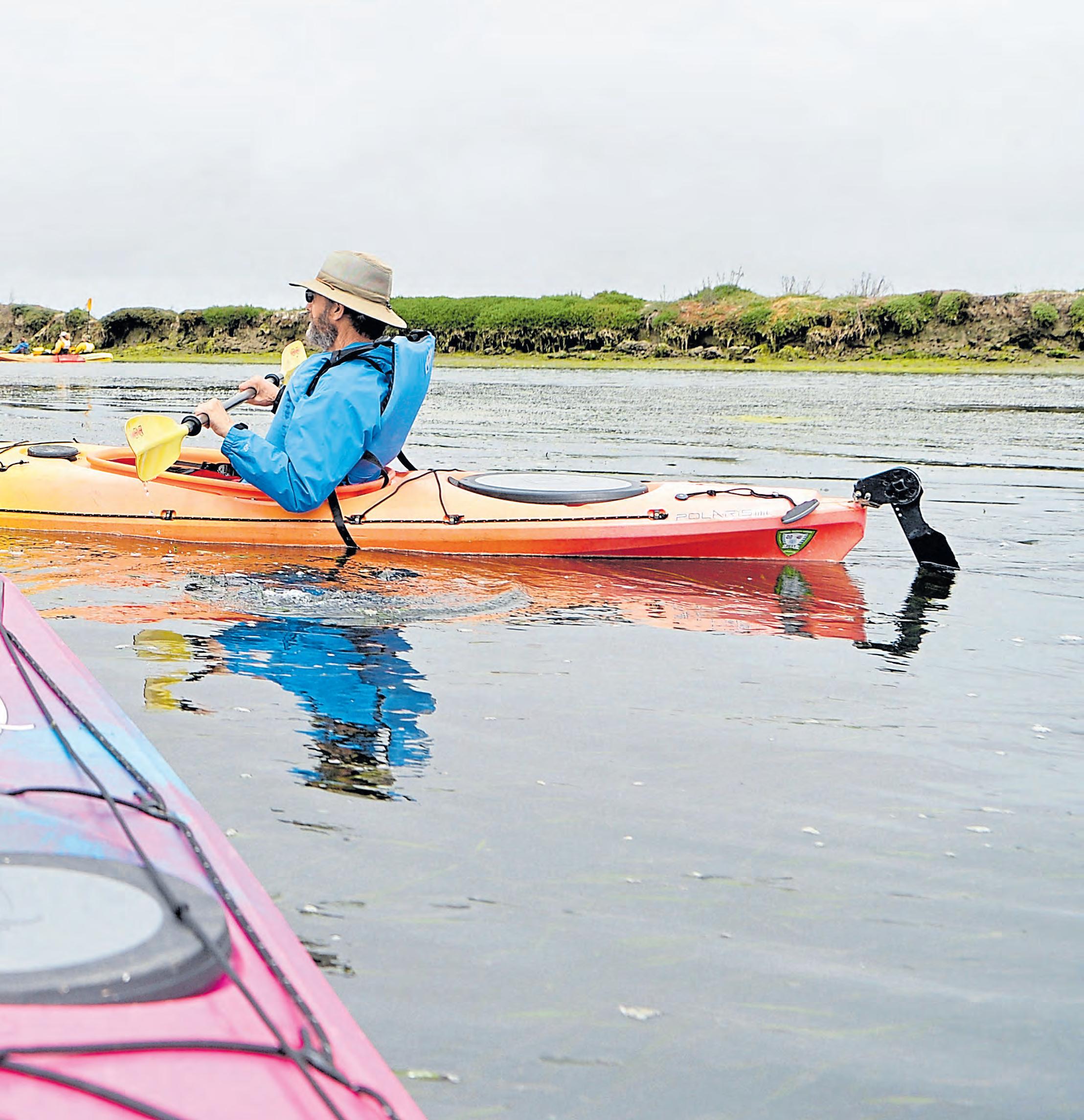
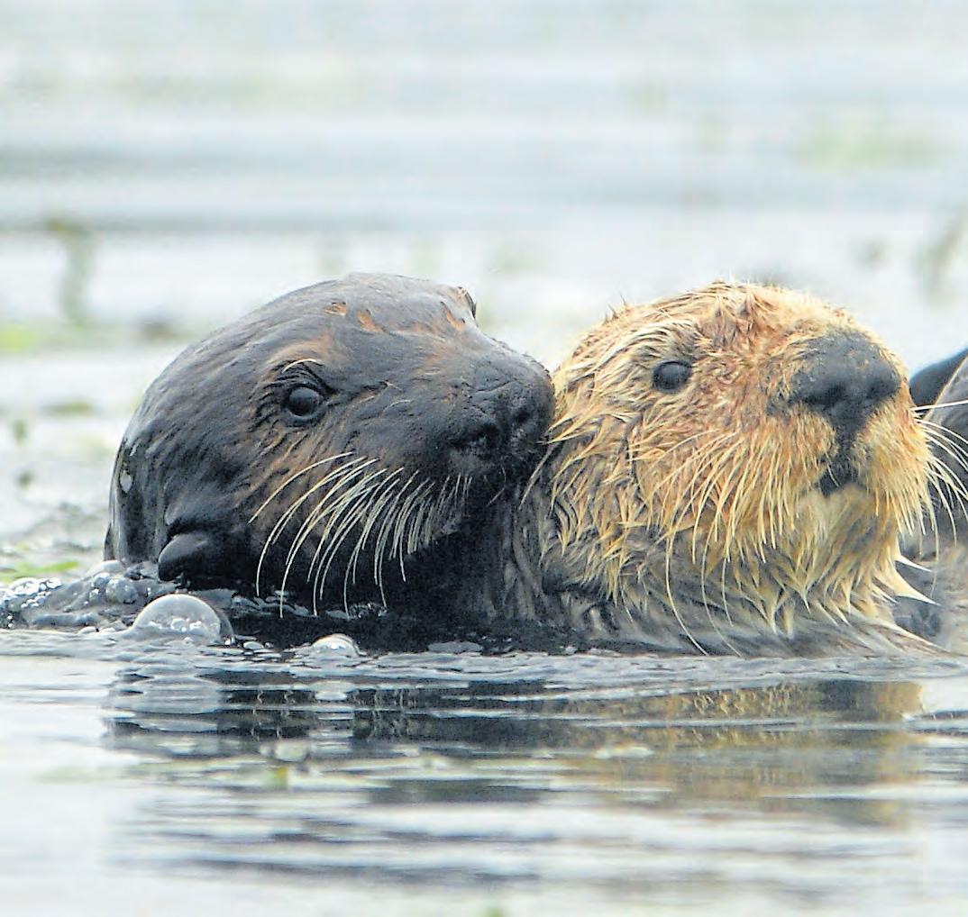
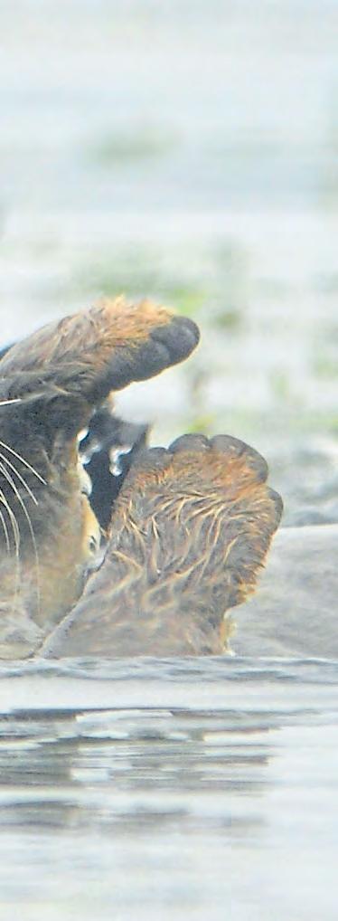
Oh no, they were positively clustering. And then rolling and whooshing and cavorting. Prancing, too, as few water-wigglers can do. No, otters don’t give a whisker about pandemics, which is why they were so much fun to watch while kayaking on Elkhorn Slough, the 7-mile-long estuary on Monterey Bay.
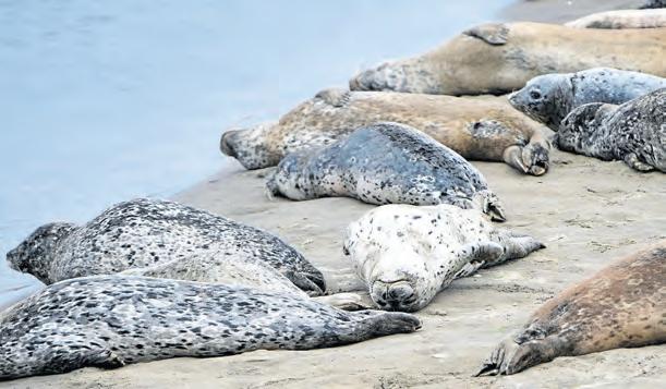
But Elkhorn isn’t just an otter haven. The slough, with its many channels, varying depths and contrasting shoreline beaches, is an equal-opportunity marine zoo. Hooded-eyed harbor seals, rising up with their big liquidy eyes — like Martin Sheen emerging from the water in “Apocalypse Now” — are in abundance. We were cautioned to stay 100 feet from the animals, but the seals would suddenly pop up nearby to inspect us — their social distancing skills were dubious as well.
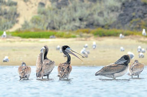
And the birds: pelicans floating placidly, great egrets and great blue herons, all great, stalking the mudflats, hawks crying overhead, ducks and cormorants bobbing on the surface, gulls in the air and everywhere. There are more than 340 species of birds in the slough, though you have to traverse some of the land trails (also a great diversion) to see some of them.
One sighting you should consider right from the paddling outset is checking out the sea lions, who have mastered the art of charismatic flopping and lolling — there’s a whole sandy bank of them not far from the launch dock. You know, near the other sandbar where we got the kayak stuck for a bit when we
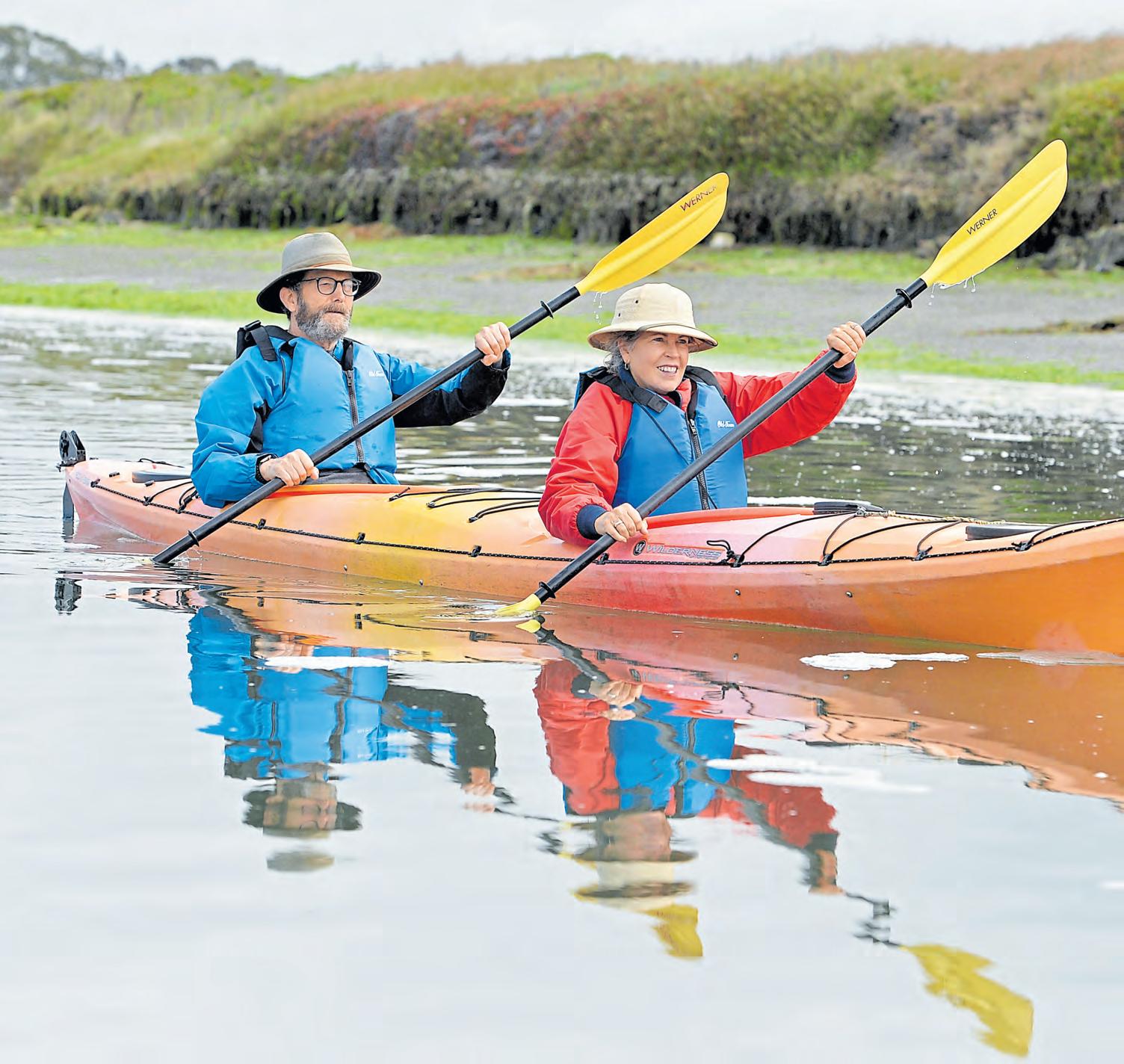
Previous page: Tom Bentley and Alice Bourget’s paddle through Elkhorn Slough, the 7-mile-long tidal salt marsh, offered views of otters, sea lions, pelicans and other wildlife.
were trying to position ourselves to scope out those lions of the sea.
The slough is a place that can make the nearby power plant’s giant towers hospitable; it’s probably that long, waving sea grass that lures your eyes and soothes the senses. Probably slightly less soothing is negotiating with your better half (mine being Alice) on navigational possibilities in a double kayak, the first one I’ve ever tried. I found that we had differing interpretations of angles, distances and directions.
I was in the rear and had my own mystifications trying to match my paddling rhythm with hers, while making the correct left-rudder/right-rudder foot-pedal steering decisions. Doug, the photographer assigned to this caper, said that he and his wife had had a similar experience while riding a tandem bike for a distance, after which he named the bike The Divorcer. Well, perhaps, but nay — the slough’s charms pacified any of our nettlesome shallows.
If you are ambitious, you can blade your way a good distance into the slough, and investigate many channels and corridors. However, when we kayaked before, we accidentally got into one of the narrower channels during a seal-pupping period, and though it was fascinating to see the little squirts and their mothers quite close on the narrow banks, I think we alarmed a number as well.
One consideration, as the good folks at the Kayak Connection rentals were quick to say, was that the tides in the morning are generally low, with the current flowing into the slough. For the standard four-hour rental, you might feel like you’re the Kayak King from the morning propulsions, but when the afternoon onshore breezes start and that current slaps up against your ambitions, your paddling might be accompanied by some creative grunting.
But currents and winds were mild on our jaunt, and the skies had a partially broken overcast, which made for good sightings.
Before I get out of my safety vest, I’ll tell you the best part, which I saved for last: those frolicsome otters I mentioned in the first paragraph? They were mostly mothers with young pups, so add everything you might have seen otters do — spinning, grinning, dunking, plunking — to the fact that they were doing all of these circus antics while pushing and hugging and tugging their pups through the water.
I dare you not to say “Awww!”

Kayak rentals start at $40 for a half-day rental and $70 for a double. Wear a mask during the rental process. Kayak Connection is open from 9 a.m. to 4:30 p.m. on weekdays and until 5:30 p.m. on weekends at 2370 Highway 1 in Moss Landing; https://kayakconnection.com.

When it comes to outdoor recreational activities in beautiful Monterey County, the region’s worldclass golfing is at, or near, the top of every list.
But even if you don’t know a putter from a wedge, you’ll find more than enough exhilarating adventures to keep you busy — including the five possibilities listed here. Given the ever-changing nature of the coronavirus pandemic, it’s always wise to consult official websites for closures and/or operational changes before you go.
Bike the Monterey Bay Coastal Recreation Trail: This 18-mile paved path hugs the coastline, following the old Southern Pacific Railway route. The two-mile section between Old Fisherman’s Wharf and Pacific Grove is the most popular, offering access to Cannery Row and the Monterey Bay Aquarium.
Don’t have your own wheels? There are several bike — and surrey — rental outlets in the area. Make sure to save some time for Lovers Point, an enchanting 4.4-acre park and beach prominently featured in HBO’s “Big Little Lies.” It’s a great place for picnics, swimming, rock-climbing and scenic photography.
Hiking at Point Lobos State Natural Reserve: Point Lobos (www. parks.ca.gov) has been called “the crown jewel of the state park system,” and it’s easy to see why. With its spectacular ocean vistas, rocky bluffs, hidden coves and coastal woods, it is breathtakingly beautiful.
The park features a number of superb hiking trails that range from easy to challenging. The relatively short Bird Island Trail offers access to two sandy beaches, Gibson and China Cove. (Access is cut off during seal-pupping season). Another favorite: the mile-long Cypress Grove Trail, which winds its way through a stand of the distinctively gnarled trees.
Kayak on Monterey Bay: Locals will tell you that there’s no better way to experience one of the prettiest bodies of water on the West Coast than aboard a kayak. Teeming with marine wildlife, the bay offers a chance to enjoy awesome close encounters with otters, harbor seals, dolphins, birds and a wide variety of fish.
Several companies offer rentals, tours and lessons, including Adventures
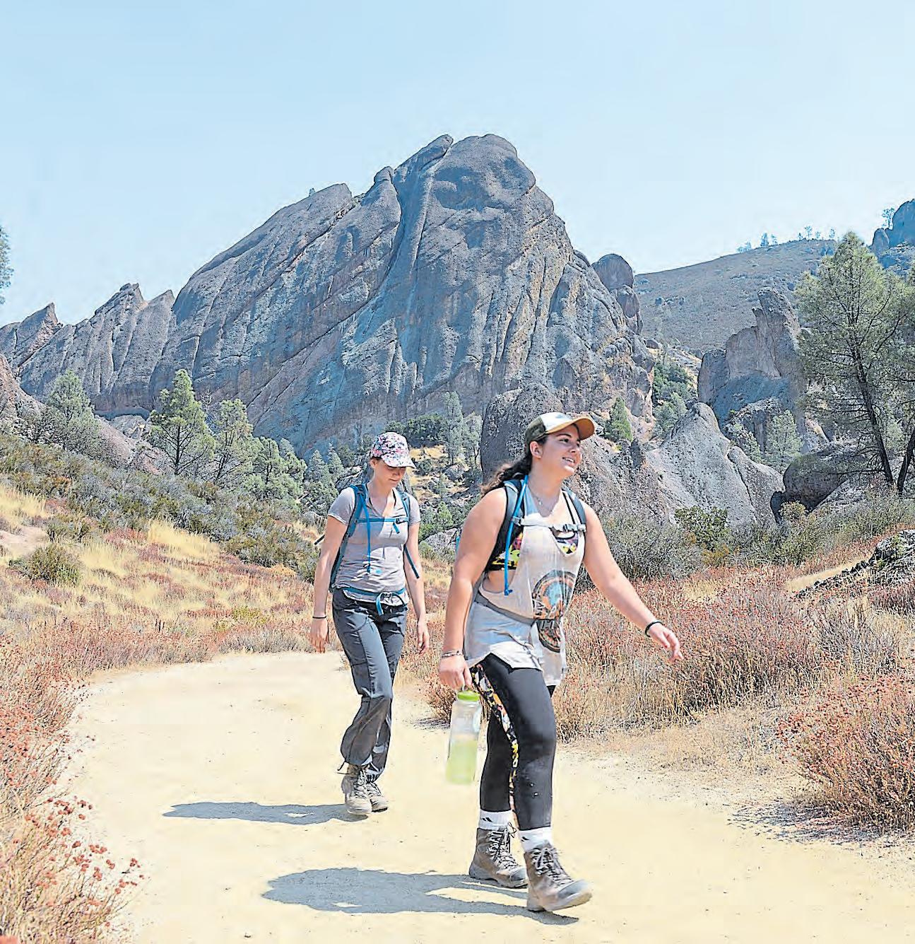
Opposite: Rachel Klinkatsis, right and Britania Light hike the Balconies Cave Trail at Pinnacles National Park.
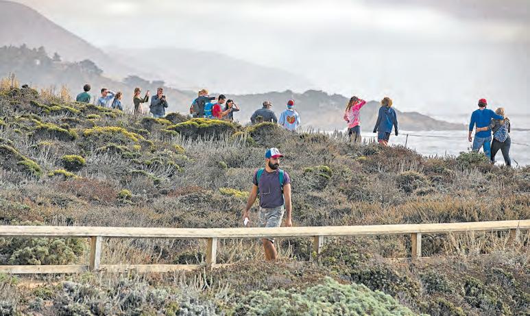
Above: In nonpandemic times, hikers flocked to Point Lobos State Park in Carmelby-the-Sea to take in the spectacular views. Those views still dazzle, albeit for sociallydistanced visitors.
by the Sea (https://adventuresbythesea.com) and Monterey Bay
Kayaks (www.montereybaykayaks.com).Scuba diving in the bay (and beyond): Of course, if you’re even more adventurous, you’ll want to get down into the water. Wide-eyed divers are drawn to Monterey by the bay’s distinctive kelp forest, submarine canyon and generally good visibility.
The area also offers several popular beach dives for all levels of divers. Just make sure to wear a wetsuit in these often-chilly waters.
You’ll find some scuba and dive shop possibilities at https://bayareane. ws/Scuba.
Rock Climbing at Pinnacles National Park: You don’t have to have the skills of Alex Honnold to enjoy scrambling all over the park’s rugged volcanic formations, which are 23 million years old. There are many options here suited to both newbies and experts, and key areas are rigged with permanent anchors.
If rock-climbing isn’t your thing, this 26,000-acre park is also a great place for cave exploration, bird-watching and hiking. Find details, maps and closure information at www.nps.gov/pinn/.

The rolling golden hills and green swaths of the Tri-Valley and points east offer so many ways to play, especially if you love the great outdoors. Lakes, trails and amped-up thrills await in Pleasanton, Livermore, Dublin and out toward Tracy. These five possibilities should rank high on your must-do, gotta-try list.
Go off-road at Carnegie SVRA: Adrenaline junkies and thrill seekers should rev directly to this state vehicular recreation area in the Diablo Range. It’s a great spot for off-roading activity, whether you favor motorcycles or all-terrain vehicles. There’s even a four-wheel-drive obstacle course.
Overall, the recreation area encompasses some five acres of rolling hills, deep canyons and all kinds of terrain, with elevations as high as 1,800 feet. There’s a professionally designed motocross track, as well as an Observed Trials area with the most challenging trail features.
The park’s valley attractions are open, and plans are underway to reopen the hill portion, closed in July by a wildfire. You’ll find the park ($5 day use fee, exact change only) on Tesla-Corral Hollow Road between Tracy and Livermore; www.parks.ca.gov.
Go angling at Los Vaqueros: Looking to wet a line? This massive watershed and reservoir, which stores up to 160,000 acre-feet of water for the Contra Costa Water District (www.ccwater.com/losvaqueros), is just off Vasco Road between Livermore and Brentwood. You can shore fish on the south side, near Livermore, where the Los Vaqueros Marina sells fishing licenses, bait, drinks and snacks. Or you can park on the north side and hike half a mile to fishing areas.
Rather rent a boat? You can do that at the marina, too
Above: Livermore Valley’s wine country is criss-crossed by paved bicycle trails that offer enticing vineyard rides, whether you’re riding an old-school bike or astride an electric bicycle.
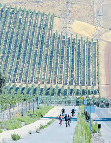
Opposite: Shawn Naval, of Discovery Bay, and his 4-year old son, Maximillano, ride the trails at the Carnegie State Vehicular Recreation Area near Livermore. Carnegie boasts more than 1,300 acres of off-road riding areas with varied terrain for all skill levels.
— starting at $25 per hour — and try your luck at trout and other fish in the middle of the reservoir. Or skip the fishing altogether and just explore the 18,500 acres of protected watershed land and winding trails. Is that a bald eagle soaring overhead? It very well could be.
Hike Pleasanton Ridge Regional Park: This 9,090-acre oak-dotted oasis is justifiably popular with hikers, bicyclists, equestrians, amateur photographers and anyone looking for a nature break. Depending on the season, you’ll find an abundance of colorful wildflowers as you explore the extensive network of trails in this park, which stretches from Pleasanton Ridge to Kilkare Canyon, Sunol Ridge and Stoneybrook Canyon.
Start your adventure from the main staging area on Pleasanton’s Foothill Road; www.ebparks.org/parks/ pleasanton.
E-bike at Pedego Livermore: The company’s motto is “Hello, fun” — and that’s pretty much what you should expect when you hop onto one of the Pedego electric bicycles and zoom off to explore the area. Crazy popular in SoCal, Pedego has just two Bay Area locations, including one in Santa Rosa and this one at 6538 Patterson Pass Road (www.pedegoelectricbikes. com). Expect to pay $20 per hour or $75 per day, single or tandem, so you can head down one of the many nearby trails solo or on a bicycle built for two.
Need trail inspiration? The Livermore Area Recreation and Park District has bikeways all mapped out for you at www.larpd.org/trails.
Frolic at Emerald Glen Park: There’s something for every variety of sports lover at this 48.2-acre park, from tennis and basketball courts — both of which are lighted! — to soccer fields, baseball diamonds and a cricket pitch. As shutdown regulations ebb and flow, some park features may open and close, but the beautiful walkways, trails and picnic-perfect grounds are always open for families seeking a little nature. Find the park at Tassajara Road and Central Parkway, Dublin; dublin.ca.gov.
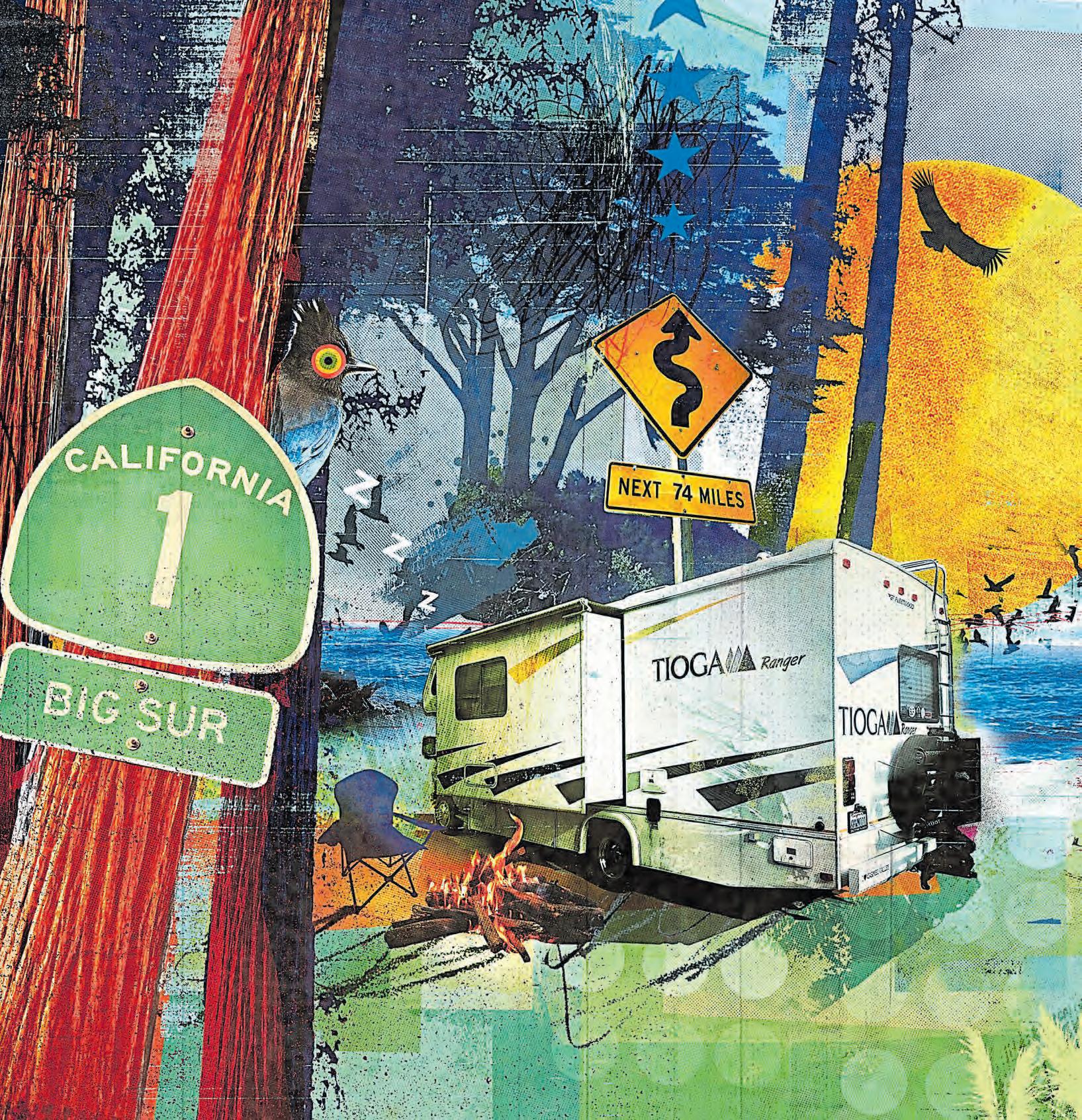


There are few sounds more unnerving than dishes crashing to the floor.
Experiencing that racket while driving an RV on a sketchy campground road in Big Sur multiplies the trauma by about a billion.
Of course, I knew there would be certain unpleasantries when I signed up for this American rite of passage, the one where you drive a mini house with an oversized motor into a redwood forest. (We’ll save the joys of wastewater for last.) But I’m glad to say that not only have we checked RVing off our Proud American Bucket List, we can’t wait to do it again.
Despite the brief crash, bang, boom — and other rookie hiccups that left me slapping my forehead — the RV experience made a quick escape into nature more comfortable, less dirty and far easier than tent camping.
We had dabbled with a car-top tent in Yosemite recently, but this was a major leap up camping’s evolutionary ladder. Perhaps even into glamping territory. If so, I’ll comfortably own it. I’d rather wear the glamper label than the usual five extra layers of dirt, bug spray and bedtime clothing.
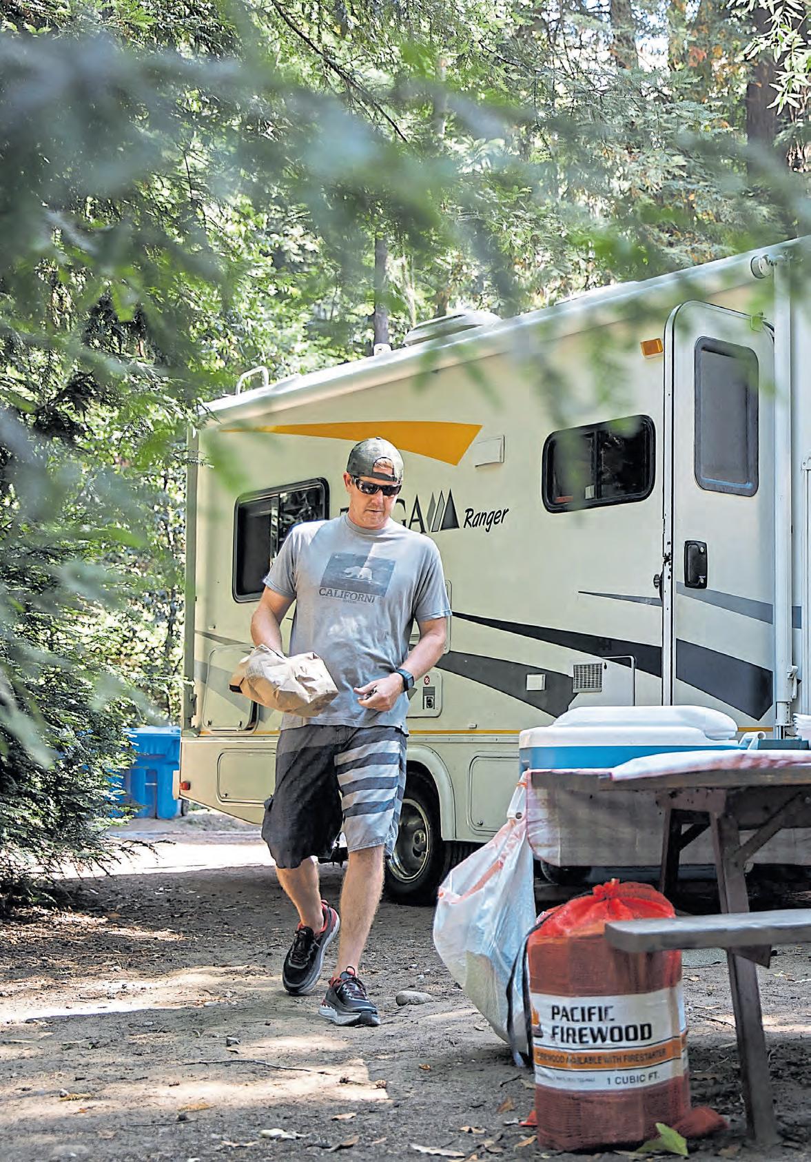
The entire cooped-up world wants to get out into nature and breathe right now. And with farflung destinations on hold, Bay Area campsites and RV/trailer rentals have never been busier.
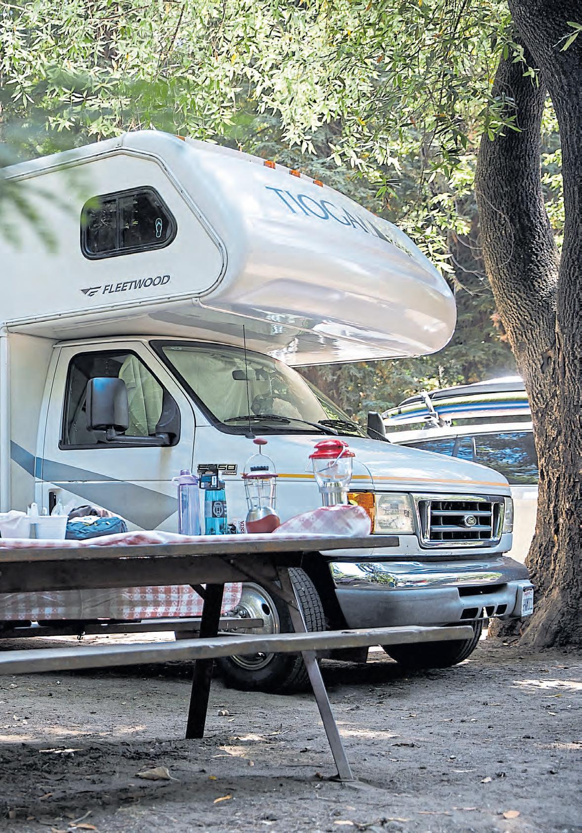
The Pandemic Summer has been real. And our short-notice dreams nearly went poof after the first few days of web search nothingness. I was quickly over it. A staycation would be okay. The others had won.
Luckily, my stubborn better half persisted. A week before our vacation, she found an RV site open for a long weekend in Big Sur proper. With electric and water hookups, the site right along the Big Sur River would accommodate a rig of 28 feet or less.
After a few anxious days of searching, fate put a 25-foot Class-C RV — a 2008 Tioga Ranger — into my Outdoorsy search results. It was the right size, the right price, fully stocked for a quick family excursion and even within convenient range for pickup on the way to Big Sur.
Somehow, our family of four had plucked the camping golden ticket out of thin air.
It even had an electric slide! I wasn’t sure what that was or how it worked, but I knew it was a sweet feature. A Google search confirmed its majesty.
We picked up our RV from an owner who clearly loves adventuring in his rig as much as he enjoys sharing that experience with others. He demonstrated how the electrical, propane and sewer systems worked and, of course, the finer points of the slide. They were among what seemed like 1,500 crucial steps to this bugeyed RV first-timer.
Big Sur was the idyllic destination for Mark Conley’s first RV camping experience on the riverbank at Fernwood Campground.
I crammed at least five or six tips that seemed most important into my aging memory bank, loaded in our gear and away we went, ready for adventure — and mayhem.
Since Big Sur is a vast, vertical, tricky place to explore by foot or bike — and it seemed unwise to schlep the RV anywhere once it was in place — we brought our mid-size SUV as well.
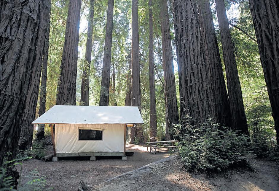
My idea of a camping adventure involves a little bit of every physical activity, so we had mountain bikes, surfboards, frisbees, footballs — even gloves and a baseball, so the son and I could have a game of catch by the river. With the mesmerizing hum of the stream 20 yards from our site at the Fernwood Campground and Resort, we ended up doing way more rock skipping and toe dipping than ball or frisbee tossing. That felt right, with relaxation the proper call to balance out RV troubleshooting.
Leveling the rig so that it doesn’t feel like you’re camping at the Mystery Spot is an important first step. My son and I tried our best to figure out the proper plastic pyramid calculus for our spot, edging the front wheels onto the levelers, but we quickly settled on semi-level rather than continuing to tinker with an equation we might never fully solve.
This RV had comfortable sleeping set-ups for four adults, and all the kitchen amenities you could want: fridge, freezer, stove, oven, microwave, fully stocked cupboards with glasses and plates (ah, yes those!). There was also a fully functional shower and bathroom, but a family vote vowed for minimal use to save the hassle of figuring out that treacherous task at the end.
Of course, it was night one when someone had to pee and didn’t want to exit the warm, slightly slanting cocoon — even
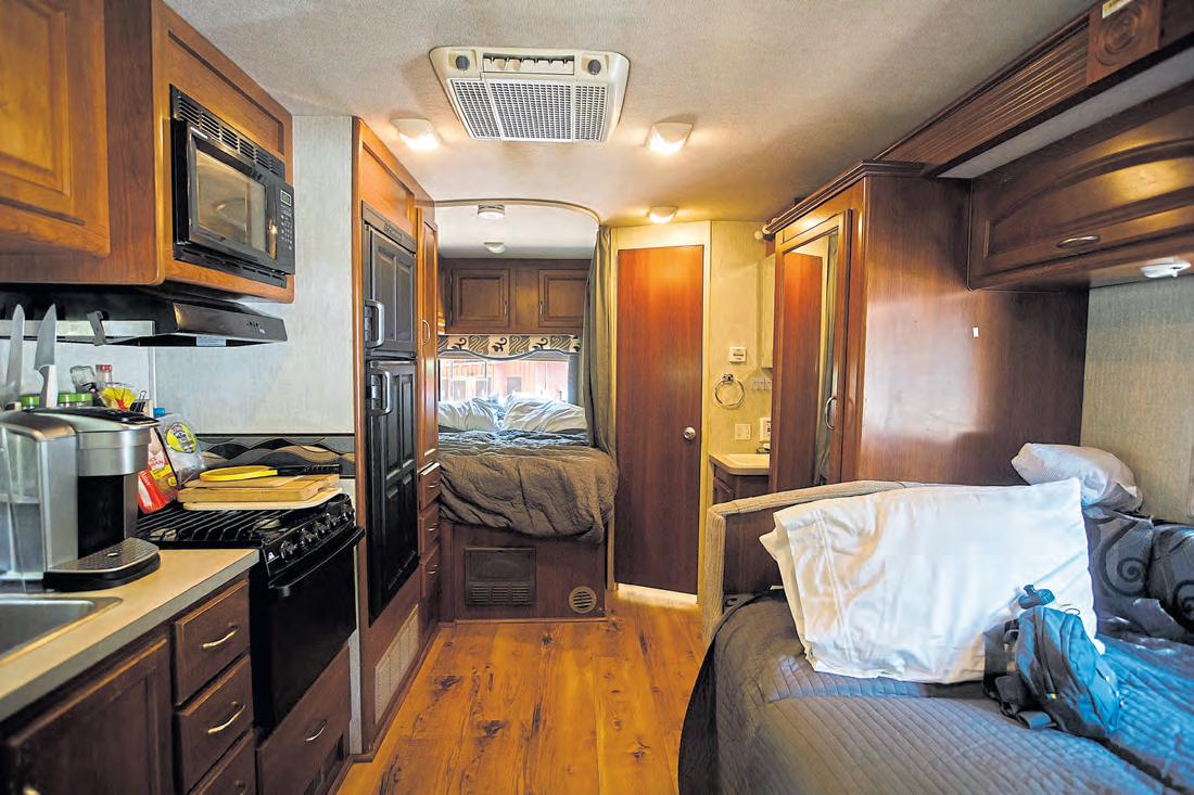
if the surprisingly clean campground bathroom was only steps away along a well-lit path. Oh well. We were already going to have to deal with the gray water discharge from heavy kitchen-sink use and an occasional shower. It wouldn’t be a true RV test without the dastardly black water, I suppose.
We noticed the next morning that some of the electronics — including the oh-so-crucial device chargers — weren’t working the first night. Turns out we had just been using the auxiliary power. After a text exchange with the helpful owner, I looked at the site’s power box, where I had plugged in the RV when we arrived. Turns out it really helps if you switch the power to ON at the box.
D’oh!
It wasn’t all a harsh trial by fire. There was quality family time that seemed more relaxed than usual for camping.
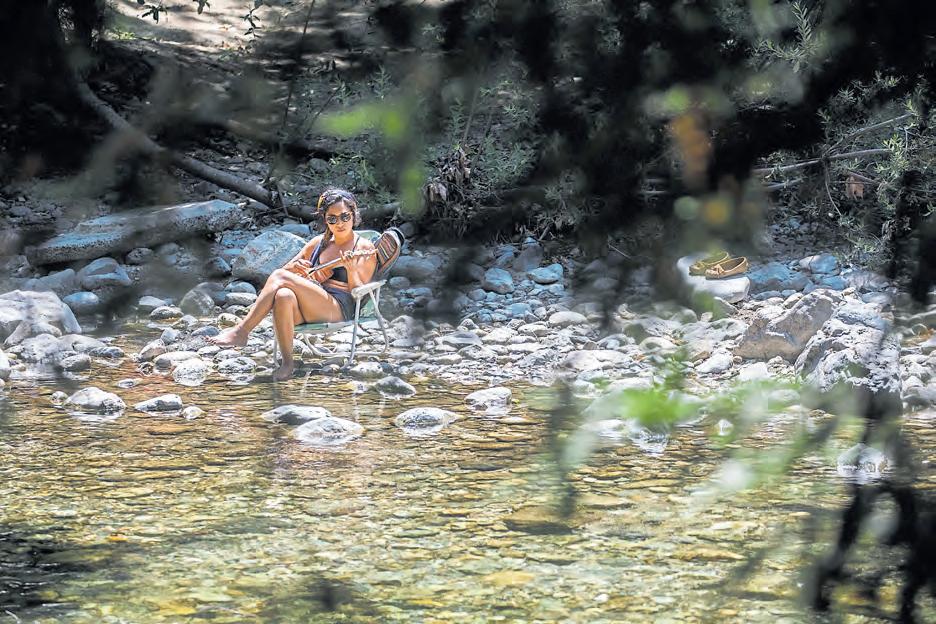
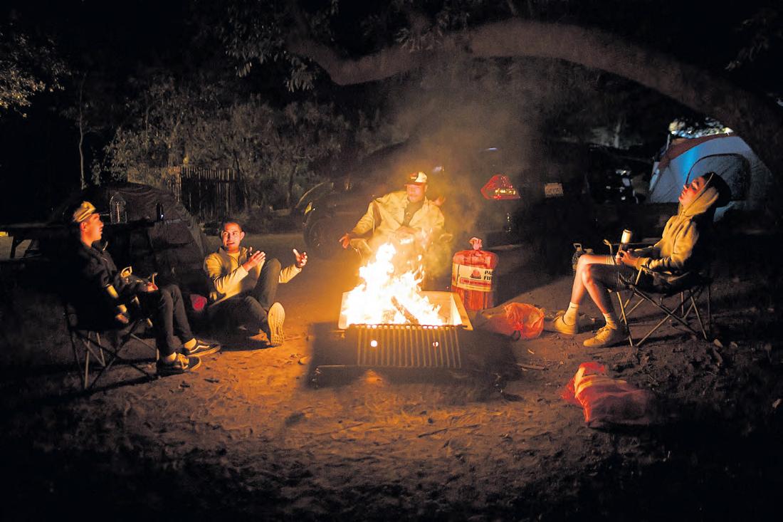
It was easier to make an escape from campfire smoke. Making lunches for the day’s hike seemed more civilized in the kitchen, rather than working from a picnic table and soggy cooler. Boiling corn on the RV stove to accompany the fire-broiled burgers was easy, and making pancakes, eggs and bacon in a single contained space saved steps and annoyance.
By keeping our shoes outside and utilizing the broom by the door, we mostly kept dirt at bay. That is not something we’re used to as campers.
Most importantly, there was space to move about, as well as cozy nooks where the wife and kids could hunker in and feel as though they were in their normal happy places at home. Most of the two full days we were there, it was hard to pry them out of those homey nooks. Hikes had a tough time competing with naps.
About that spaciousness: It’s all
in the slide. You make sure the coast is clear on that side of the vehicle (no trees or humans within three feet), press a lever and instantly turn your cramped little studio apartment into a breathable two-bedroom. You’ve gotta see it to believe it. Pure magic.
What wasn’t so magic: Yes, that precarious ending.
The rig was cleaned up neatly, we were all loaded up and ready to head back. But I’d saved the not-sobest task for last: wastewater disposal.
Somehow, I managed to recruit my son to help — a decision that will surely leave him eternally scarred.
We drove our new favorite home on wheels across the campsite bridge and navigated toward a roundabout leading to the dump station. I knew the dirt path was a bit untamed, so I was going slowly. Or so I thought.
Not nearly slow enough for the cavernous, six-footwide pothole I didn’t notice until we were bounding through it.
Crash, bang, boom.
The magnetic locking devices on the upper cabinets, great to that point, couldn’t take this jolt. Dishes and pint glasses came flying out, landing on the hardwood floor five feet below. It felt like we’d entered the scene from an action movie where a speeding car ends up inside a storefront window.
Find the right rig: Too small is better than too big, newer is better than older, and an owner/manager with solid reviews and who communicates well is essential. Make sure the RV is stocked with kitchen essentials. And slides rule!
Study the basics: Go on YouTube and do some RV newbie viewing. Knowing the basics of electrical, propane, generator and sewage systems will come in handy. But don’t get too stressed. Like most things in life, doing them is how you learn best.
Try to stay close: The fewer the miles, the more costeffective the trip — and the more prudent. Figuring out the “home” part of the motor home is enough to worry about, without getting into any motor issues.
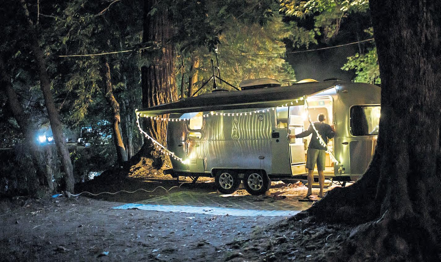
Don’t plan to drive it: Park it, level it and make it home for as long as you can. If you will need to drive for ice, food and other rations, try to bring an extra vehicle.
Potty elsewhere: If you can, it makes good sense not to deal with this one the first go-around.
Luckily, the plates were aluminum. And despite the violent racket, only two glasses had broken.
Both of us frazzled nonetheless, my son took on the glass sweep-up duties while I embarked on the stinkier job that awaited outside, one I clearly had not read up on enough beforehand.
Let’s just say that knowing which line you’re dealing with — gray or black — and making sure the connectors on your hose are firmly functioning are crucial steps before letting those liquids loose.
I got super lucky. It was only the gray dishwater that went awry, streaming across the ground, still far too close to someone else’s camp for comfort. Important lesson learned before dealing with the nastier elements. And luckily, that disposal went more to proper form.
So many lessons learned on this bucket-list adventure. But if you worked out the kinks, I guess this could be called glamping. Time to plan a followup trip and put those lessons to use before they’re all forgotten.
