1 minute read
Location Section
by Bri Dazio
117 Kendrick Street

Advertisement

1.1 - Walkability
1.2 - Walkability
1.3 - Walkability
1.4 - Proximity to Transit
The Fitwel strategies are organized based on the way a person would experience the building. Starting with the location and site, Fitwel guides projects through the various aspects of the building, from large scale to the more granular level.
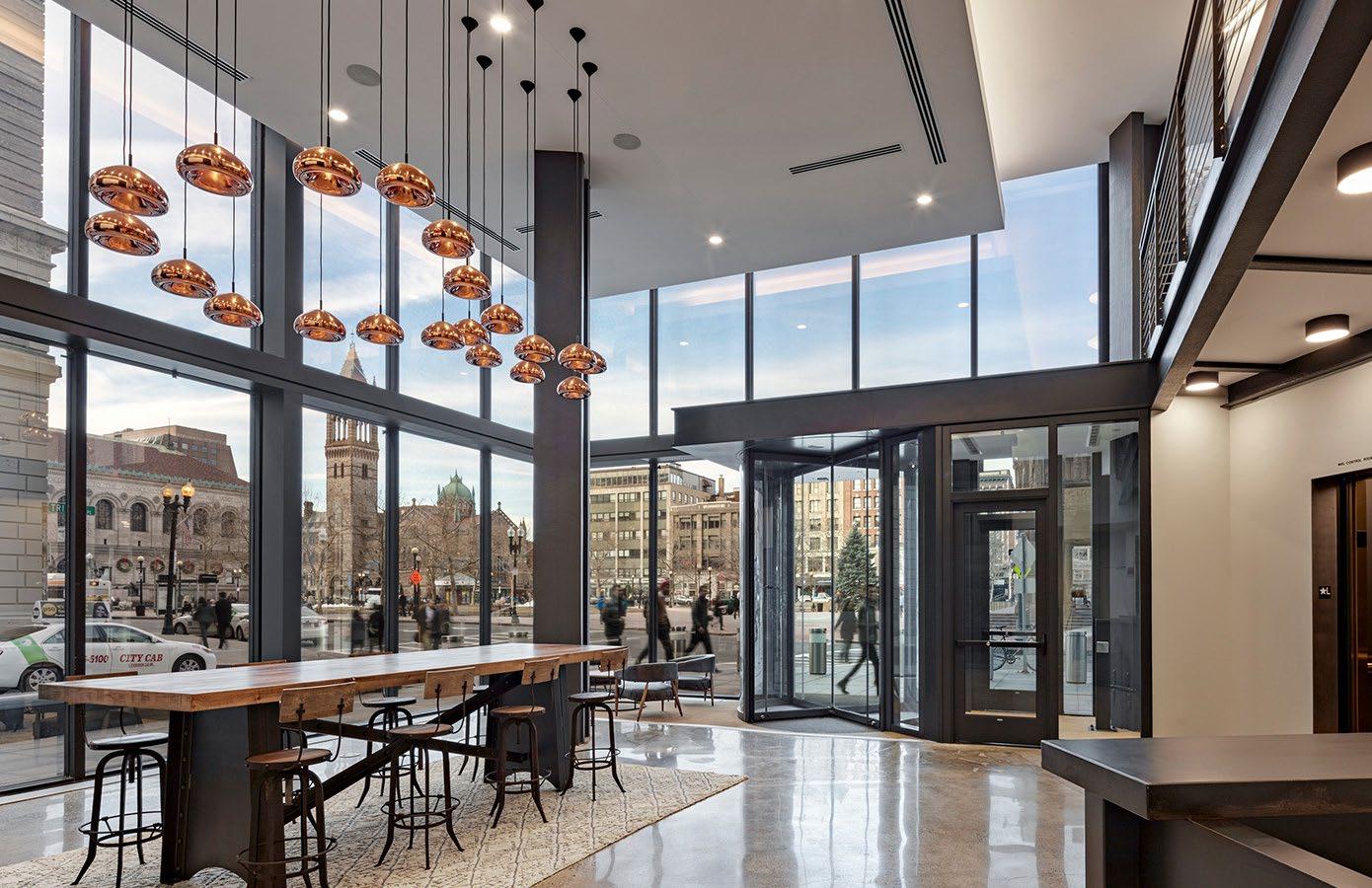
The Location section includes 4 strategies, totaling 16.21 points available. The section focuses primarily on the building’s relationship to the surrounding site and amenities.
For 3 of the 4 strategies, Fitwel aims for projects to be located in areas with high Walk Scores. A building’s Walk Score measures the walkability by analyzing walking routes to nearby amenities. A score is given after measuring distance to each amenity. Pedestrian friendliness, including population density, and road metrics, is also considered as part of the Walk Score.
The fourth strategy deals with public transit located near the building. Public transit includes shared passenger transportation services, such as buses, trams, light rails, trains, subways, ferries, private buses, or carpools that run at specific times for use by the general public. As part of the Location section, Fitwel encourages teams to locate projects near transit stops so individuals can take advantage of public transportation. This has a benefit not only to the environment for reduced greenhouse gas emissions, but also for the occupants themselves.
Across all four strategies, however, the goal is to provide occupants with enhanced access to the community and the amenities it offers.


