2 minute read
History on a Stick with Michael C. Hardy

History on a Stick:
The Yellow Mountain Road By Michael C. Hardy
While it may seem odd to twenty-first century travelers who come from Charlotte or Winston-Salem for a day trip, getting across the Blue Ridge was a constant challenge for travelers throughout most of the eighteenth and nineteenth centuries. There were few access points along the Blue Ridge Escarpment. Deep Gap, Cook’s Gap, Sampson Gap, Aho Gap, and Watauga Gap (Blowing Rock), all provided access to the Watauga River Valley. However, the way was steep, much steeper than most wanted to undertake with their wagons. Grandfather Mountain was a huge natural barrier. The next major opening is Ivey Gap, near Pineola in Avery County.
Most early settlers chose to go to Morganton, and then up the Yellow Mountain Road, through McKinney Gap and/or Gillespie Gap and into the North Toe River Valley. The Yellow Mountain Road was not a new route. There are numerous old Native American roads spread out over North Carolina. A 1928 map from the Bureau of American Ethnology referred to this route as the “Old Cherokee Path to Virginia.” The path was probably older than the Cherokee. Or, it might have been better described as the Old Catawba Path to Virginia.
In the 1770s, once settlers passed through McKinney or Gillespie Gap, they made their way to the Lower Old Fields of Toe area, often called the Bright Settlement. Samuel Bright came in the mid-1770s from Salisbury. It was technically illegal, as the Proclamation of 1763 prevented settlers beyond the crest of the Blue Ridge. Bright built a series of cabins and set about improving the Yellow Mountain Road. The section from the Bright Settlement into present-day Tennessee was often referred to as Bright’s Trace. Bright built a second group of shelters, probably no more than lean-tos, at the confluence of the North Toe River and Road Creek. This area was called Upper Old Fields of the Toe. From here, the path turned up Roaring Creek (sometimes called Roan Creek in the 1700s). Five miles later, Bright’s Trace passed through Yellow Mountain Gap. Where were the hardy pioneers bound? The new settlements on the Watauga and Nolichucky Rivers.
This section of the old Yellow Mountain road saw heavy use for over a century. Militia companies from the Watauga and Nolichucky settlements used the route to reinforce Patriot forces at Charleston in June 1776, Fort Anderson and Musgrove’s Mill in 1780, and Guilford Court House and Augusta, Georgia, in 1781. In 1776, Native Americans used the route during the Cherokee War of 1776, attacking settlements east of the crest of the Blue Ridge. The Overmountain Men used the route in September 1780, off to fight at the battle of King’s Mountain and change the course of the American Revolution. Almost a century later, Federal raiders from Tennessee used the route to cross into the area, on their way to capture Camp Vance near Morganton.
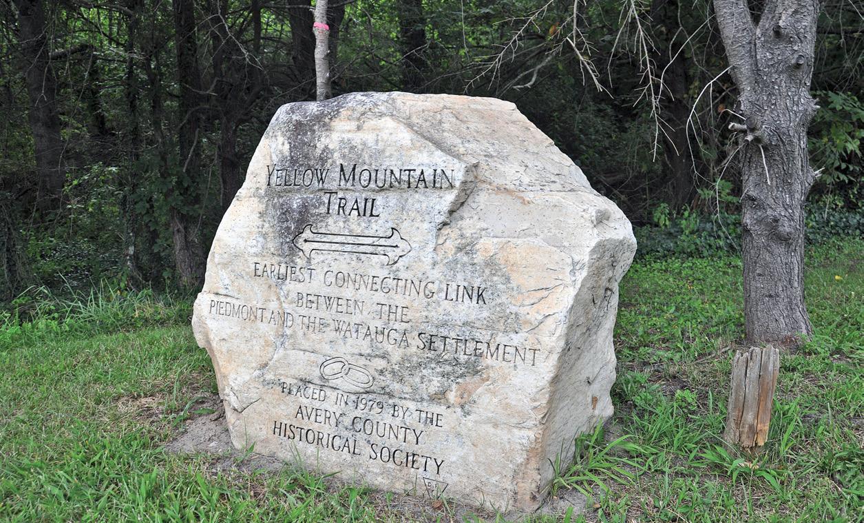
Parts of the old Yellow Mountain are still visible today, often hiding in the woods. Other parts lie under US19E. The route still crosses into Tennessee via a footpath. The North Carolina Highway Historical Marker at the intersection of Roaring Creek and US19E was erected in 1938 and is one of the oldest markers in the state.


