7 minute read
TOPIC 3 Costa Rica Volcanoes
from BioMagazine
T O P I C 3
Advertisement
Costa Rica Volcanoes
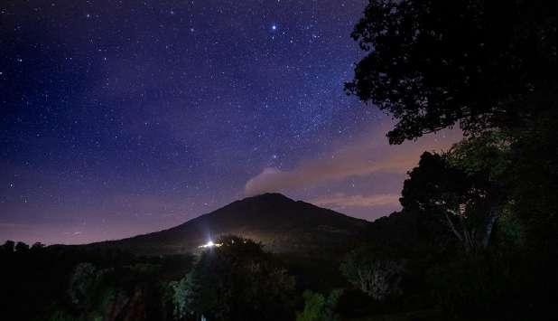
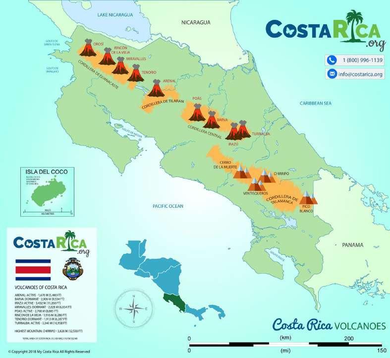
Costa Rica has more than 200 volcanic formations identified, most of Costa Rica's volcanoes are located in the northern part of the country and central highlands, according to its spectacular diversity and its volcanoes are considered as the major tourist attraction of Costa Rica as they captivate the attention not only of tourists but also of scientists and researchers from all over the world. Costa Rica is also home to a large number of volcanoes: there are six active volcanoes and another 61 inactive or extinct volcanoes.
They are part of the spectacular natural diversity of the country because they play a very important role in how the landscapes have developed. Due to the multiple eruptions of the land, Costa Rica is very fertile and very rich in many minerals. In addition to their fertility and natural beauty the volcanoes are also recreational parks where you can do many activities, for example: hot springs, paddle boating, camping, horseback riding and hiking, among others.
Many international tourists are captivated by the number of volcanoes that Costa Rica has, since being a small country it has more volcanic mountain ranges than other large countries, as is the case of Brazilian tourists, who visit the country for this main attraction, since Brazil does not have volcanoes.
Outstanding panoramas...

Rincon de la Vieja Volcano
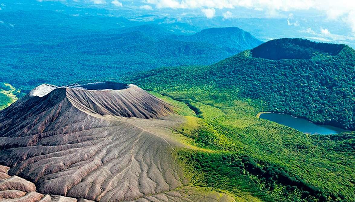
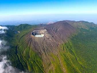
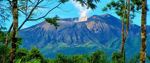
The Rincón de la Vieja Volcano is located in the Guanacaste region of Costa Rica. Rincón de La Vieja is a cinder cone volcano in Costa Rica, and is part of nine contiguous craters that dot the Rincón de La Vieja National Park.
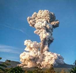
This collection of volcanic peaks is most active in the Guanacaste Mountains, where major volcanic activity occurred during the latter half of the 1960s. The Von Seebach crater is currently active, venting steam and the occasional volcanic hiccup on a regular basis. Of the nine craters, the Santa Maria Volcano is the highest, topping out at 6,385 ft (1916 m).
The hike to the top of this crater is not easy — it’s a 6-mile (10 km) hike that ascends over 5,000 vertical feet. The hike primarily winds through tropical forest before giving way to dwarf cloud forests near the top. This final section — measuring some 2 km in length — is the steepest and most difficult portion of the climb. However, getting to the top of this volcano and staring down at the surrounding countryside is definitely worth the effort.
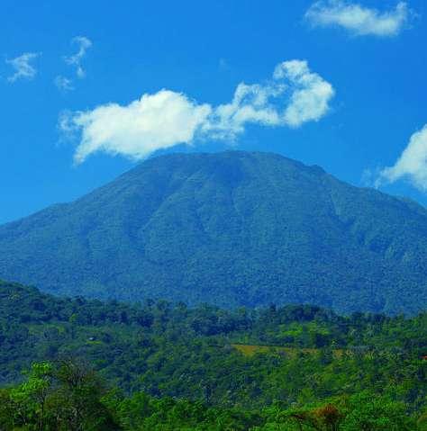
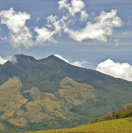
Tenorio Volcano Miravalles Volcano
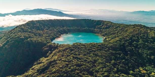
The Tenorio Volcano and Miravalles Protected Zone is located in the Guanacaste region of Costa Rica. The smooth cinder cone of Tenorio rises from its surrounding forest, achieving a maximum height of 6,286 ft (1,916 m). The area surrounding this Costa Rica volcano is characterized by an enchanting blend of forest, hot springs, and geysers. Virgin forests extend to Tenorio’s summit and line the banks of a lake that fills the volcano’s crater. The summit can be accessed via the Lago las Dantas Trail, which winds its way up from the park’s base and through the cloud forest before arriving at the top.
Major landscapes...
Featured images...
Arenal Volcano
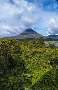
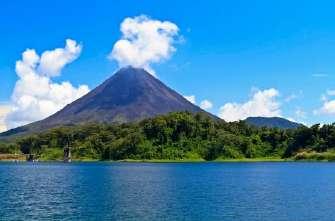
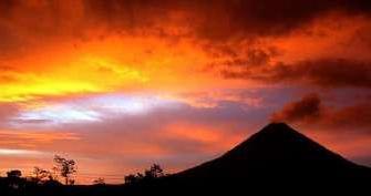
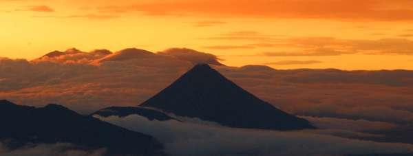
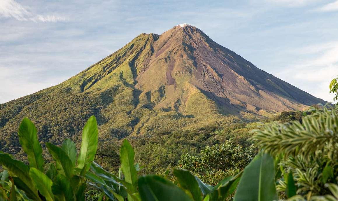
On the opposite side of the lake, wind farms catch strong gales that whip across the Tilarán mountain range, while the Miravalles Volcano Geothermal Plant taps into the area’s volcanic activity for electrical power. The 29,692-acre (12,016-ha) Arenal Volcano National Park is located within the larger 504,094-acre (204,000-ha) Arenal Conservation Area, which protects some 16 reserves between the Tilarán and Guanacaste mountain ranges. This area contains a great wealth of geologic and biological complexity, as evidenced by the active and incredible Arenal Volcano.
In contrast, Arenal is Costa Rica’s most active volcano, and since July 29, 1968 its lava flows have been consistent. On this day in 1968, three craters burst open along the volcano’s western flank. “Crater A” measured 1,000 meters across and set off a pyroclastic flow of toxic gas and hot rocks that spread 12 km, devastating the towns of Pueblo Nuevo and Tabacón. In doing so, it killed 87 people. Arenal plays a large role in Costa Rica's power production. Lake Arenal, which rests at the base of the Arenal Volcano, supplies 12 percent of the country's hydroelectric energy.
Look at these amazing views...
Poas Volcano
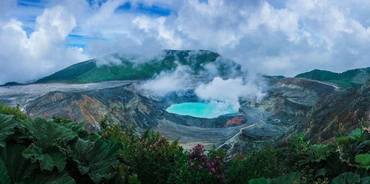
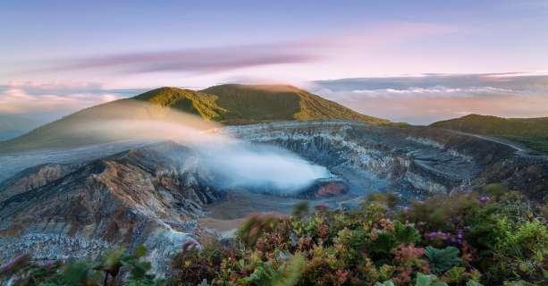
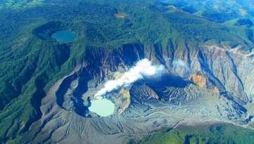
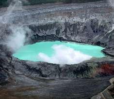
The Poás Volcano National Park is located in the Central Highlands of Costa Rica. Rising up to 8,885 ft (2,708 m), Poás remains one of Costa Rica’s largest and most active volcanoes. At almost a mile in diameter (1.6 km), the crater’s rain-fed, sulfuric pool bubbles and emits smoke. Although the last major eruption was in 1910, the volcano remains steadily active to this day, and visitors can still see geysers exploding into the air — some reaching as high up as 820 ft (250 m).
Located 1.5 hours from San José, Poás is a popular day trip for travelers staying in the country ’s capital. The 68-mile (108 km) round-trip journey navigates along coffee and flower farms, many of which line areas of the park. The best time to visit is during the morning hours from January to April. Weekends are usually crowded and clouds normally roll in around mid-afternoon, making it difficult to enjoy the scenery. On a clear day, however, it’s possible to see both the Pacific and Atlantic coasts from the summit, as well as its gurgling, steaming crater.
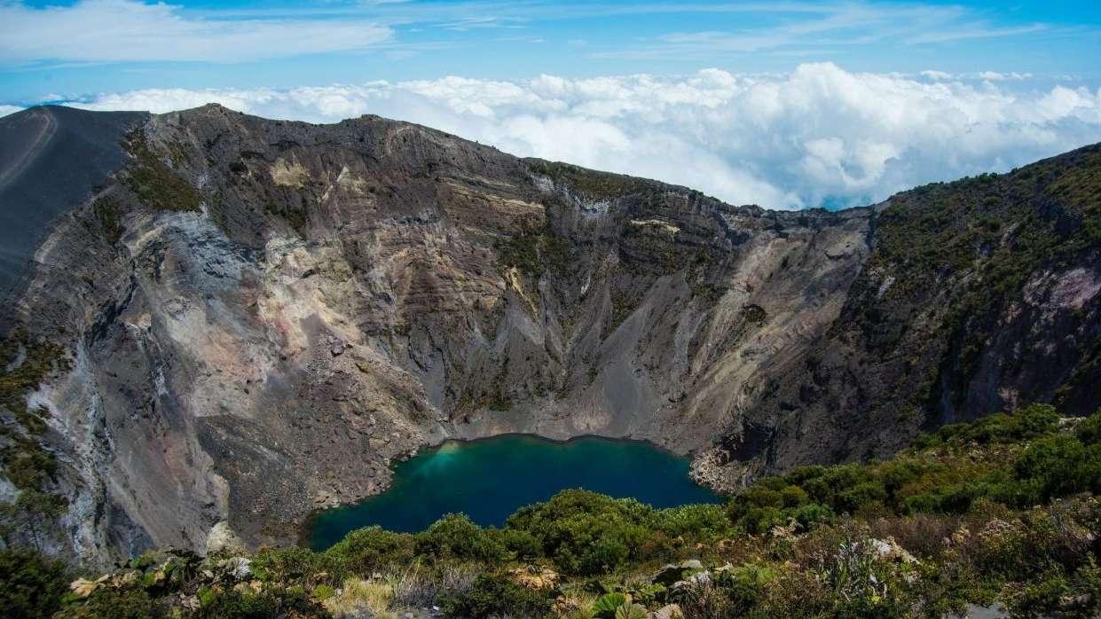
Photo gallery...
Irazú Volcano
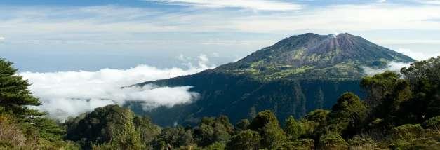
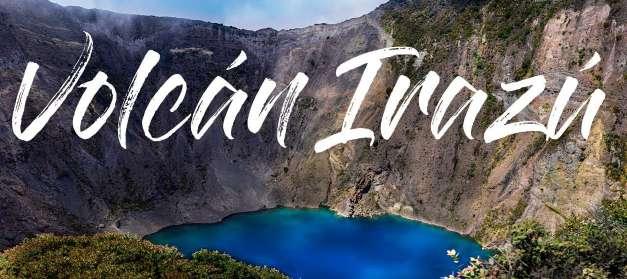
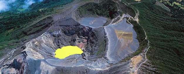
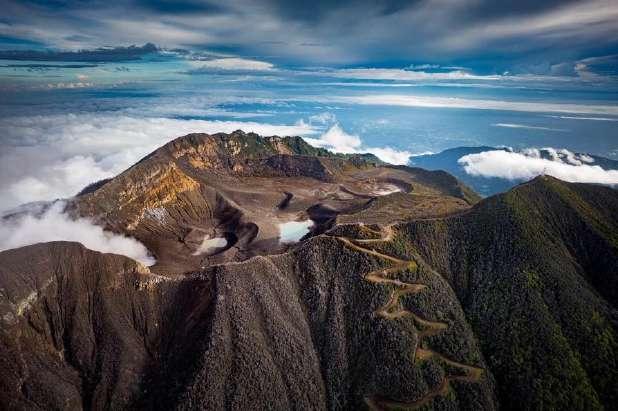
The Irazú Volcano is located in the Central Highlands of Costa Rica. It is the tallest volcano in the country, reaching upwards of 11,260 ft (3,432 m), and has several active craters.
The largest of these craters is 900 ft (275 m) deep, while the smallest crater, dubbed Diego de la Haya, dips some 300 ft (91 m) beneath the surface. Its mineral-rich lake can transform color, often fluctuating between emerald green and crimson red. On a clear day, the Pacific and Caribbean coasts are visible from the summit.
The Irazú Volcano National Park is set on 5,705 acres (2,300 ha) of immaculate montane forest, most of which is comprised of primary, secondary, and cloud forest. From San José, you can head east 14 miles (23 km) to the nation’s former capital, Cartago. From here, it’s 24 miles (39 km) to the Irazú Volcano National Park. The roads are in good condition and signs mark the route in.
Turrialba Volcano
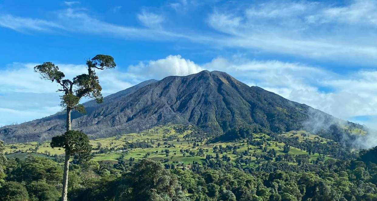
The Turrialba Volcano National Park is located in the Central Highlands of Costa Rica along the southeast corner of the Central Volcanic Corridor. The summit peaks at 10,919 feet (3,328 m), and on clear days the view includes the Atlantic coast and the Barva, Poás, and Irazú volcanoes.
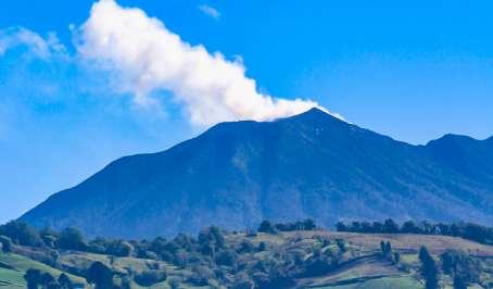
Turrialba's last major eruption occurred in 1866. However, fumarolic activity (smoke and gas that often includes carbon dioxide, sulfur dioxide, hydrochloric acid, and hydrogen sulfide) remains constant from the highest peak. There are three well-defined craters located at the top, the deepest of which is 164 feet (50 m) in diameter.

A bright night sky...
