3 minute read
Guide to our Wonderful Wateralls


GUIDE TO OUR WONDERFUL WATERFALLS
Caitlyn Samson The rain through the wetter months of the year, May through to November, ensures our waterfalls look truly spectacular. Our area has high rainfall, compared with much of the state and with our positioning on the Great Dividing Range, three important Victorian rivers begin here.
These rivers are the Coliban, Loddon and Campaspe, which feed the Murray, providing water for communities and irrigating farms along the way. In addition to some very beautiful waterfalls, we have over 80% of Australia’s natural mineral springs and have had visitors to the region since they were first protected, coming to drink, bathe and admire all the life that stems from our water.
TRENTHAM FALLS Trentham Falls is one of the longest single drop waterfalls in Victoria, with its waters cascading 32 meters. It is an easy walk to the Trentham Falls viewing area from the parking and picnic area. Lush bushlands surround the falls and the area boasts invigorating hiking and bike bush tracks.
Trentham Scenic Reserve Road, Trentham #trenthamfalls
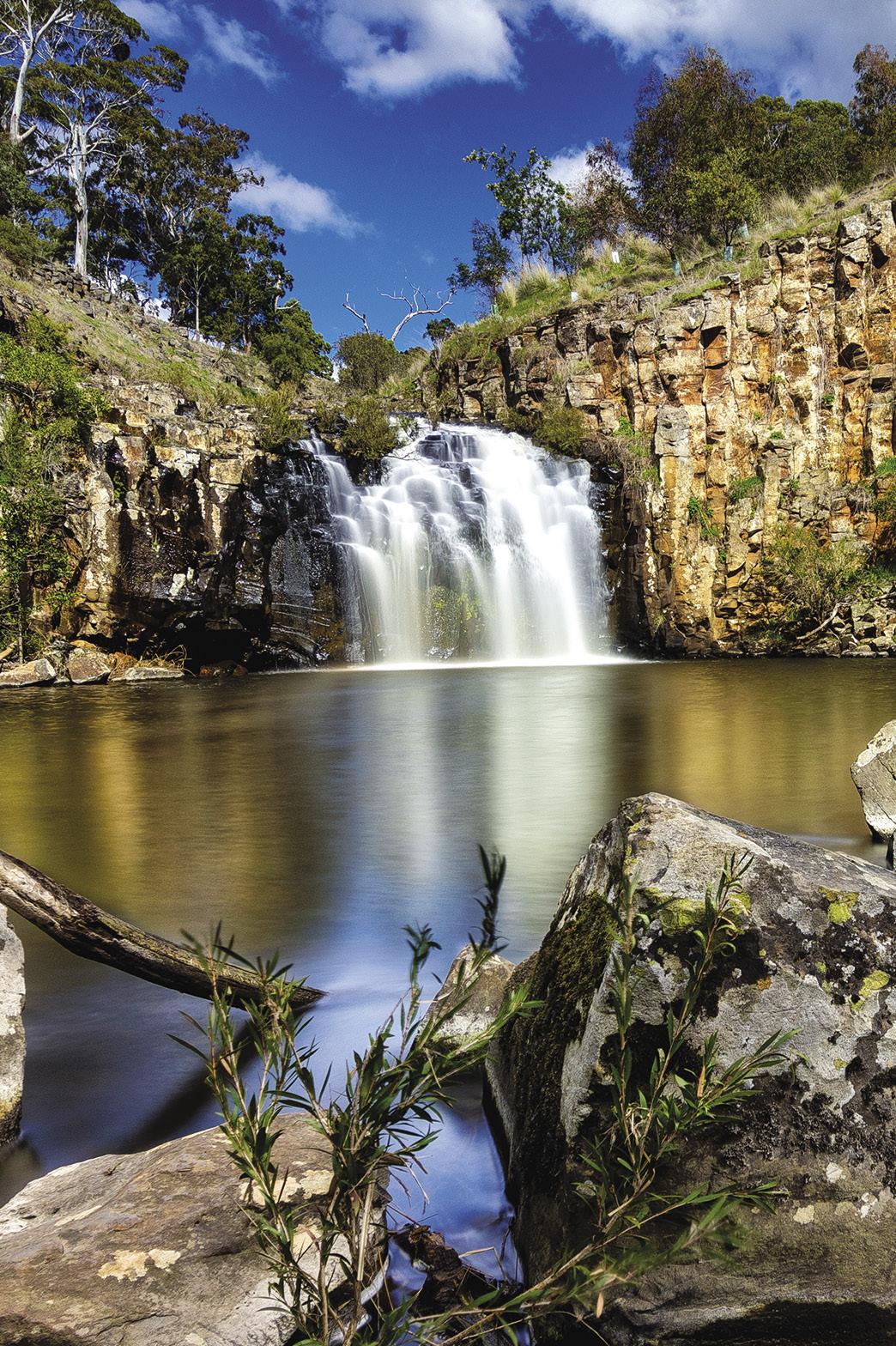
TURPINS FALLS Turpins Falls is an impressive waterfall located on the Campaspe River and its waters cascade down a 20m rock wall that encapsulates the rock pool below on three sides. You can enjoy the beauty of the falls from a lookout just a short walk from the car park.
Shillidays Road, Langley #turpinsfalls
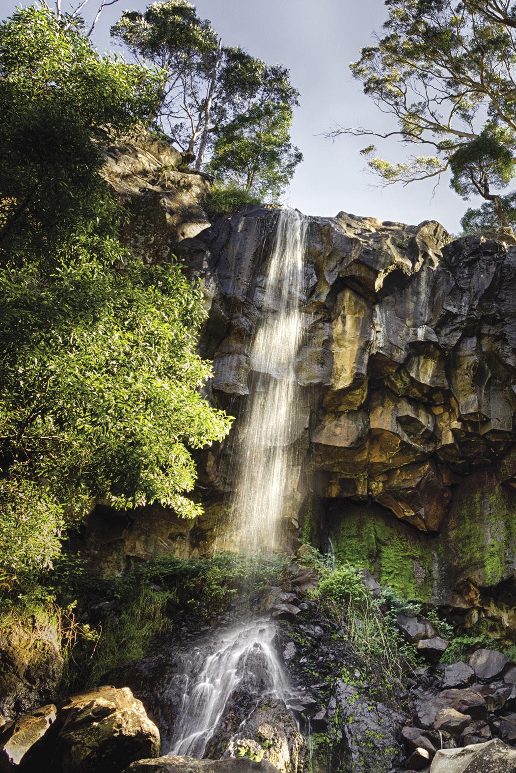
THE CASCADES The Cascades is a hidden gem nestled away just north of Metcalfe. Water tumbles over layers of bedrock through rock pools, through crevices and funnels into little caverns. Relax in the rock pools or take a swim in one of the bigger swimming holes. It is best to visit after some rain.
Cascades Road, Metcalf #metcalfecascades
STANLEY PARK FALLS Stanley Park Falls was named after Sir Arthur Stanley, Governor of Victoria. He was instrumental in providing funding to acquire the land for public use. The area is
thought to have formed from silica-rich lava, which probably originated from ‘Camels Hump’ and flowed down the flank of Mount Macedon. Nowadays, it is a lovely waterfall and a lush refuge in summer with playgrounds, BBQ's and picnic benches.
Stanley Park, Mount Macedon #stanleyparkfalls
LODDON FALLS Loddon Falls is found a short 5-minute drive north of Glenlyon, along the Loddon River. This is an undeveloped spot with a steep incline and dirt tracks that can get muddy in the wetter months. It has restricted access when there has been significant rainfall. If you are keen to forge on, you will be rewarded with spectacular views of the waterfall and surrounds.
Loddon Falls Reserve, Glenlyon #loddonfalls
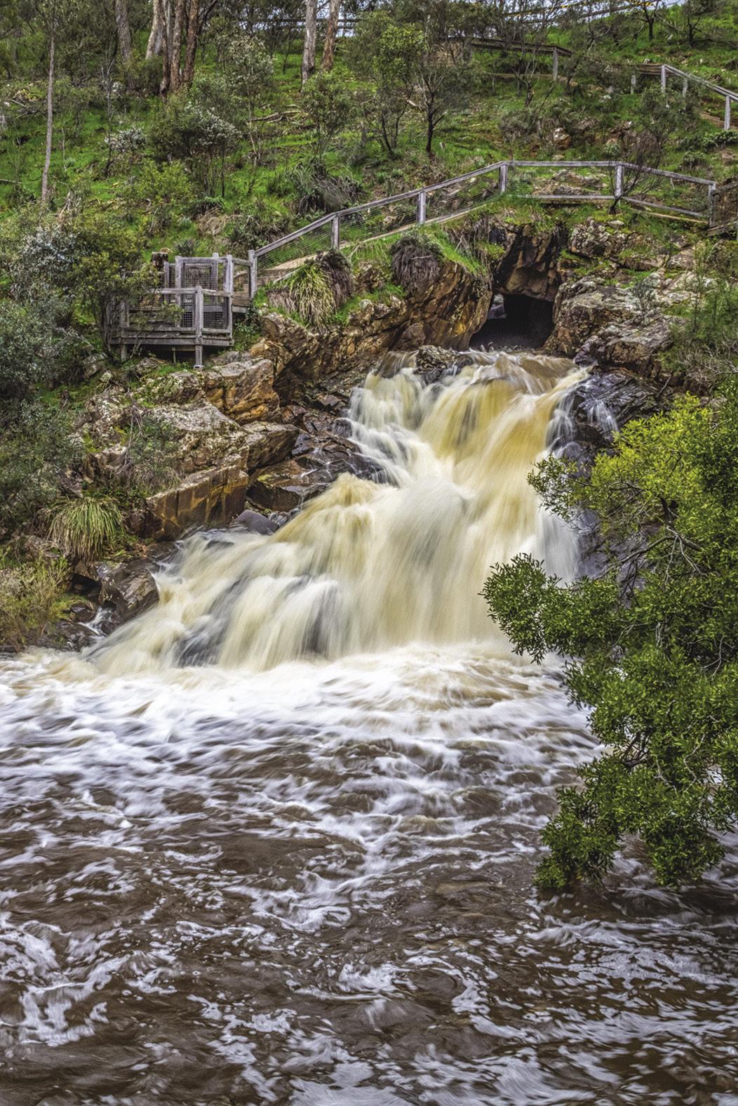
THE BLOWHOLE Gold miners created this small circular hole in the side of the hill around the early 1870s. When Sailors Creek is full, The Blowhole is an impressive sight, spurting water out over a rock face to the pool below. You can view The Blowhole from above at the cliff's top, making the most of the recently installed walkway, or across the river, standing opposite the tunnel. The Blowhole is one of many places to stop along the 160km Goldfields Track connecting Bendigo and Ballarat.
Blowhole Road, Hepburn #hepburnblowhole
For more, visit: daylesfordmacedonlife.com.au/itinerary/waterfalls
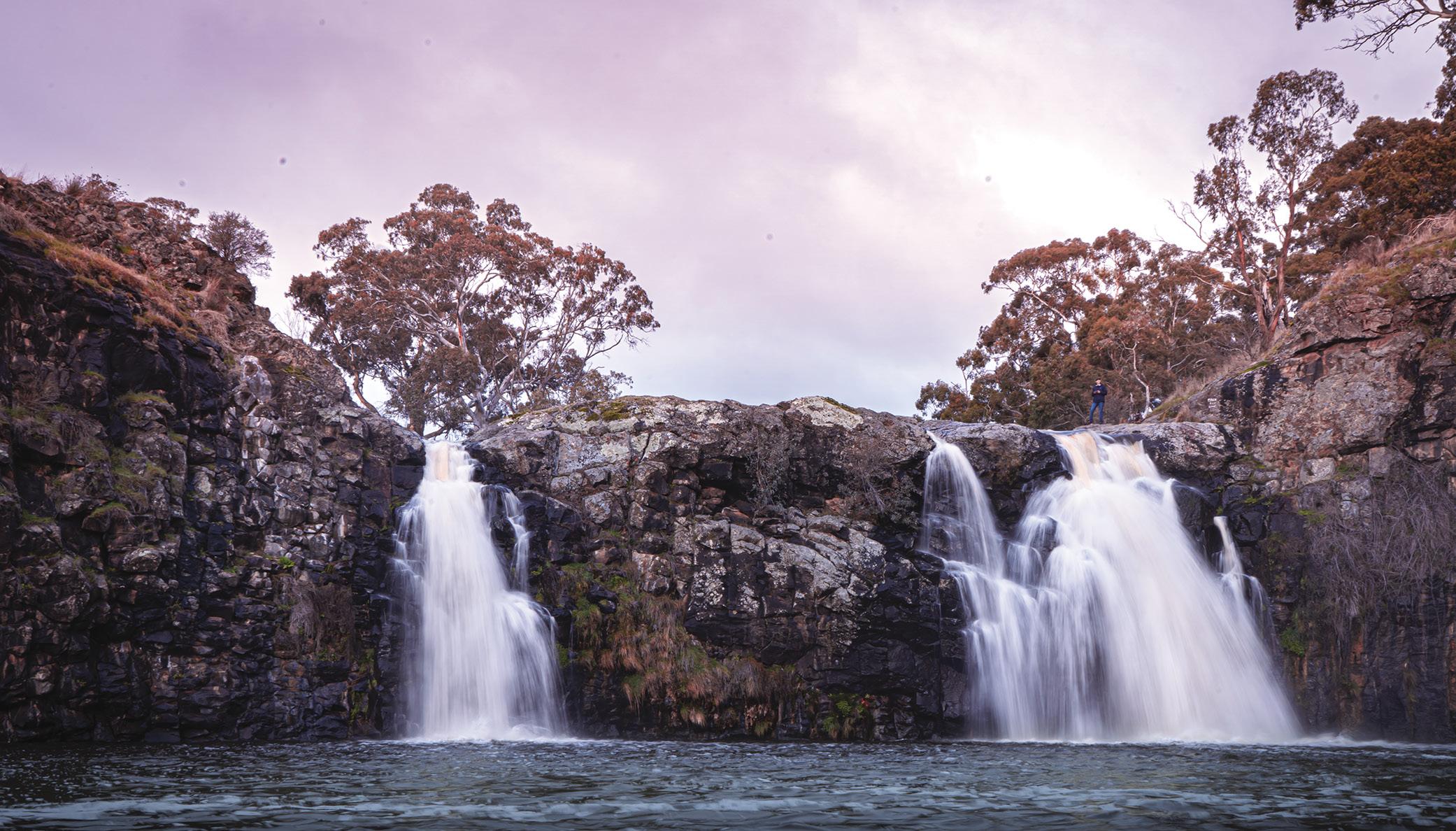
SAILORS FALLS Sailors Falls, just south of Daylesford, is thought to be named after the sailors who jumped ship to seek gold in the area during the 1850s gold rush. You can view the spectacular twin falls from the picnic area, just a short stroll from the car park. As you are returning, stop to taste and collect the natural mineral water from the nearby pump.
Ballan-Daylesford Rd, Sailors Falls #sailorsfalls
Photos opposite page (L-R): The Blowhole. Photo by @vickimaree13 Loddon Falls, Sailors Falls. Photos by Ben Gardiner @ben_gardiner_photography Below: Turpin Falls. Photo by Lark Visuals @larkz