3 minute read
Our Services
We offer integrated surveying services brought to your project by a closely-knit team of multi-talented experts.
LAND SURVEYING
Advertisement
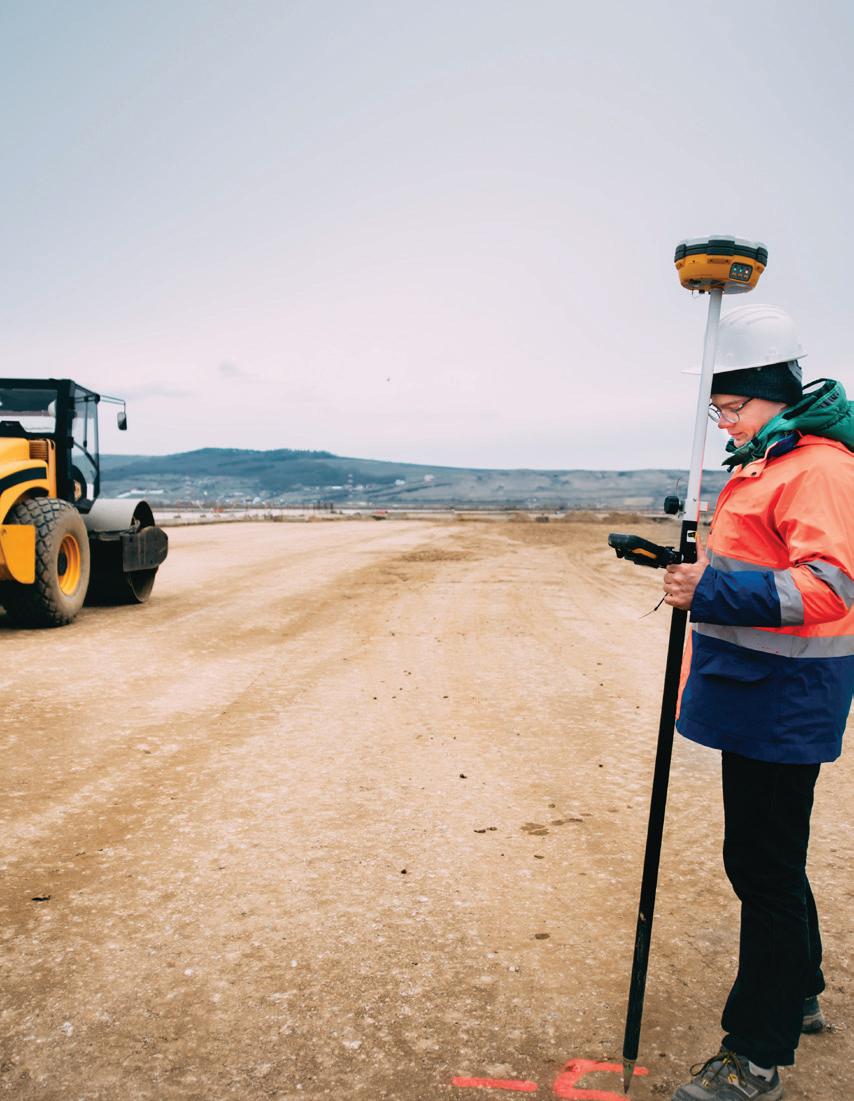
Before any new construction project can rise from the bare earth, it’s essential to have a rock solid understanding of the site, its features, and where your new building is going to end up. Our land surveyors are wellversed in site measurement, particularly as it relates to your local laws and building codes. Equipped with technology that guarantees precision, our team will work with you to ensure that your project has the most accurate information possible to provide a dependable foundation for future work.
REAL PROPERTY REPORTS
A Real Property Report (RPR) is a legal document that illustrates the location of significant improvements relative to property boundaries. These include homes, decks, garages, large sheds, pools, fences, etc.
An RPR will also show relevant land information such as easements, rights-ofway, and overland water drainage restrictions. Design Works Surveys offers comprehensive understanding and affordable options for:
◆ Home buyers ◆ Financing and mortgage companies and banks ◆ Home owners ◆ Real estate professionals ◆ Municipalities

PLOT PLANS
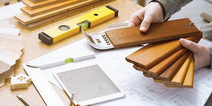
When considering improvement of an existing lot, a plot plan provides valuable information about property, such as existing structures, man made features, dimensions, setback lines, easements, and proposed improvements to the land. Many municipalities require a plot plan for lot improvements.

LOT GRADING CERTIFICATES
A Lot Grading Certificate is a critical component of new home construction, landscaping, and renovations. Municipalities often require a Lot Grading Certificate to ensure good drainage away from buildings and adjacent properties to protect against flooding and property damage. Lot Grading Certificates must always be provided by a professional land surveyor.
TOPOGRAPHIC SURVEYS
Topographic surveys collect data about natural and man-made features of the land, as well as its elevations. Topographic plans are used to show elevations and grading features for engineers, architects, and building contractors.
SITE PLANS
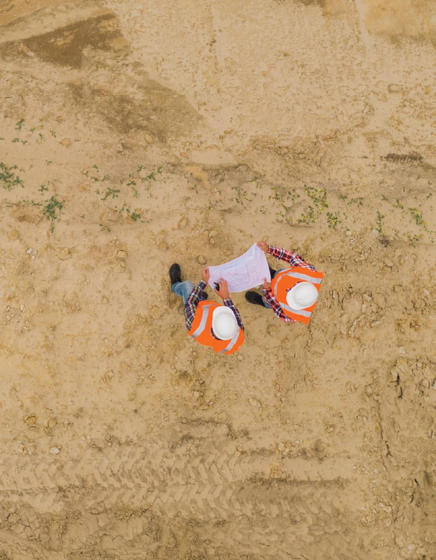
Site plans are most often used to obtain building and development permits for property improvements. These plans show buildings, parking, access, landscaping, and any other structure that is part of a development project.


SUBDIVISION
Our survey team is ready to help your subdivision development become the next great neighbourhood. Services include: ◆ Site surveys ◆ Tentative plans and application packages for approval ◆ Acting as an agent for the landowner during the application process ◆ Assisting in the subdivision process through presentations and appeals ◆ Preparing the Descriptive Plan or Plan of Survey ◆ Assisting in the registration process with Land Titles
CONDOMINIUM PLANS
A condominium cannot legally exist without a registered condominium plan. Design Works Surveys is prepared to assist our clients with registration of both strata and bare land subdivision condominium plans.

CONSTRUCTION SURVEYS
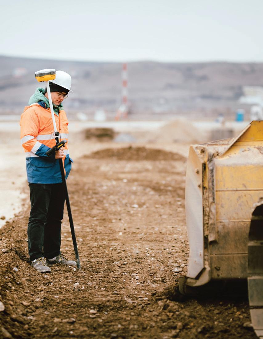
In a construction survey, surveyors calculate and mark the horizontal and vertical positions of specific design elements necessary for construction, including new building excavation stakeouts, construction layouts, route surveys for roads and utilities, grid line layouts, and more.
AS-BUILTS
Nearly every construction project requires the contractor to produce as-built drawings showing the actual position and elevation of permanent features on the ground, including buildings, deep and shallow utilities, manholes, valves, hydrants, street lights, fences, and more. At Design Works Surveys, we believe that good as-built drawings are incredibly valuable to owners, operators of infrastructure, and for future projects.
