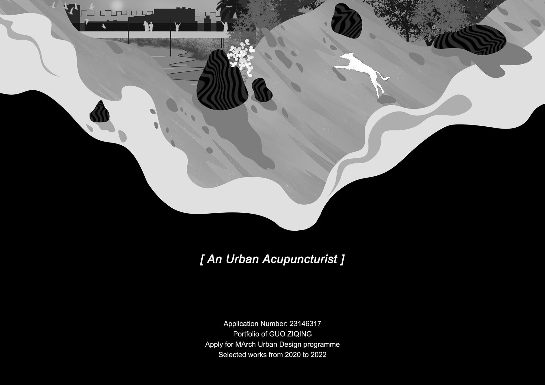
How to get acupuncture for city
Urban acupuncture is a socio-environmental theory that combines contemporary urban design with traditional Chinese acupuncture, using small-scale interventions to transform the larger urban context.As an urban acupuncturist, I believe that people are the basic units that make up urban space, and that their activities shape the different spaces of the city, just like cells in human body.
As a result of the increasing urbanisation process, which has been accompanied by a proliferation of conflicts between different parties.During my practice in Nanjing and Shanghai, I have experienced problems such as ambiguous spatial ownership, cultural indifference, the lack of outdoor recreation areas for pets and the inevitable urban heat island.I try to address these issues with small-scale interventions to reconcile biological activity, land and culture.
I believe that a good urban design is one that regulates human activity, even in the long run, and is as continuous growth as a large tree. I do not believe that people should focus on the adequacy of the design approach; urban designers should be more like acupuncturists who tap into the intrinsic and essential values of the city, find the core problems and prescribe the right remedy.
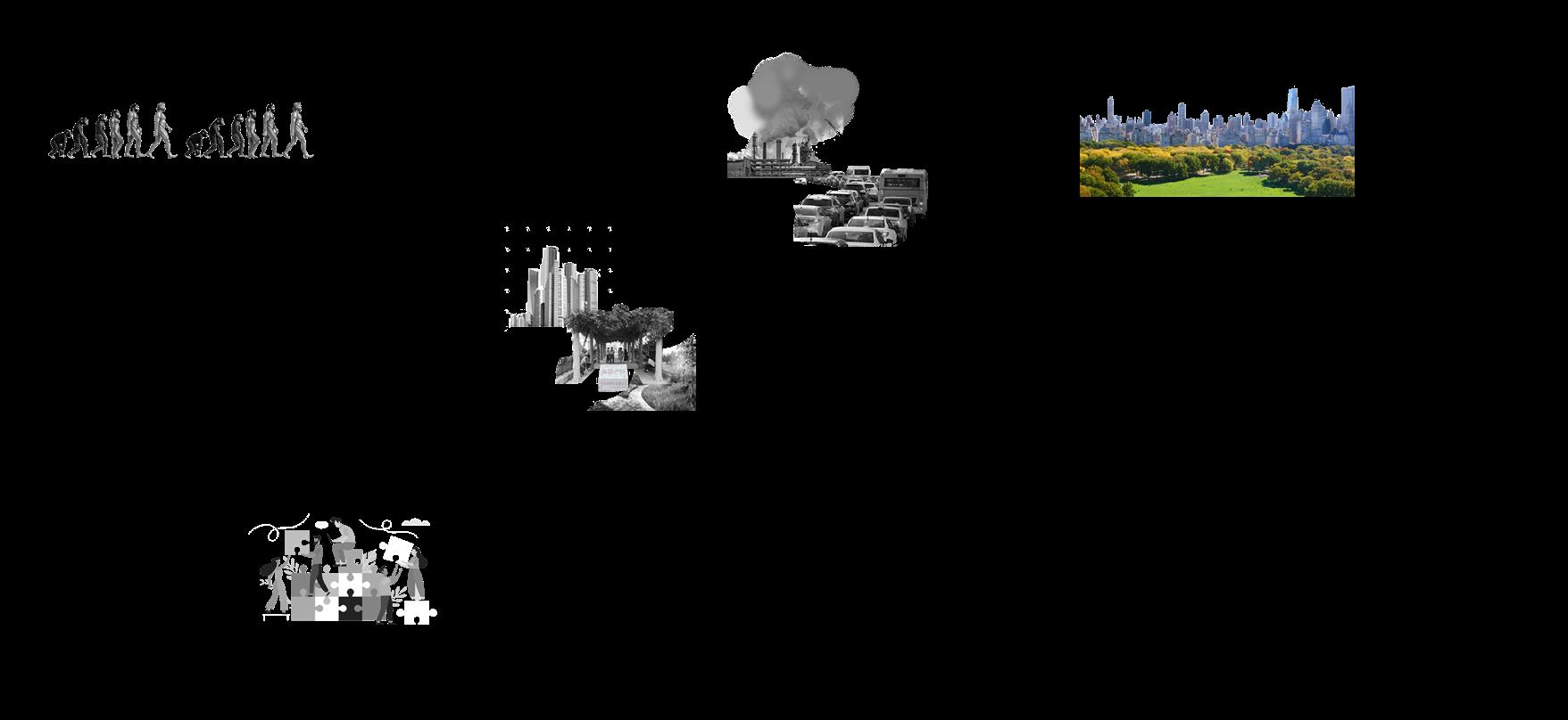
Urban Problems
The Birth Of Mankind
Different Behaviors And Cultures
The Future Urban Form
Project 2 Future Forest city
Prescribe The Right Remedy
Project 1 High carbon emission street
Project 3 A culturally bland corner of the city walls
Project 4 Pet-unfriendly park
Million years ago About 3000BC Now Future
Birth Of Cities
The
Better Human Settlement
A
Date of birth:07/08/2000
Phone number: +86 15751869009
Email: guahah@163.com
ZIQING GUO EDUCATION
Nanjing Agricultural University,Nanjing,China
Bachelor of Landscape Architecture (expected)
Bachelor of Sociology
Average score: 88/100
Macau University of Science and Technology
Winter program of Art of Architecture and Urban Planning
EXPERIENCE
Courtyard design for residents of Guantang Village, Nanjing (Summer Social Practice)
The First Shanghai Community Garden Co-Building Project
Head of Publicity, Nanjing Agricultural University Art Group

Sep.2018-Expected Jun.2023
2019-2023
2018-2019
Contents
Carbon Gear
Jan.2022-Feb.2022
Forest Gap
Jul.2021-Sep.2021
Sep.2021-Dec.2021
Nov.2019-Oct.2020
Tie In Memory
Scholarships for Outstanding Students (Top 15%)
Jiangsu Provincial Government Exchange Scholarship
Third Prize,Jiangsu Province Land Spatial Planning Competition
Outstanding student leader in Nanjing Agricultural University
Advanced Individual for Summer Social Practice
HONOR SKILLS
2019-2022
May. 2021
Jun.2022
Dec.2021
Dec.2021
The Same Rights
Interests:
Photography,Board Skating,Accordion
Language Skills:
English (IELTS 6.5), Mandarin (Native), Japanese(Beginner)
Other works
A market-related carbon zero street Exploration of a new form of city in the future Spatial enhancement between City Wall and River Pet-friendly revival plans for the Lost Lands 01 02 03 04 05
Sketchup Rhinoceros AutoCAD ArcGIS Illustrator Indesign Enscape Grasshopper
Photoshop
100% 100% 80% 100% 70% 90% 90% 70% 50%
Carbon Gear
Type: Individual work
Time: 08/2022-10/2022
Location: Melbourne, Australia
Tutor:Jingjing Zhao E-mail:heidiz@163.com
Project brief:
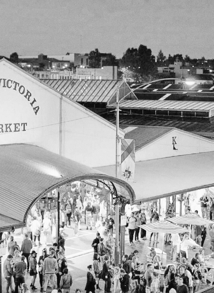
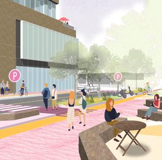
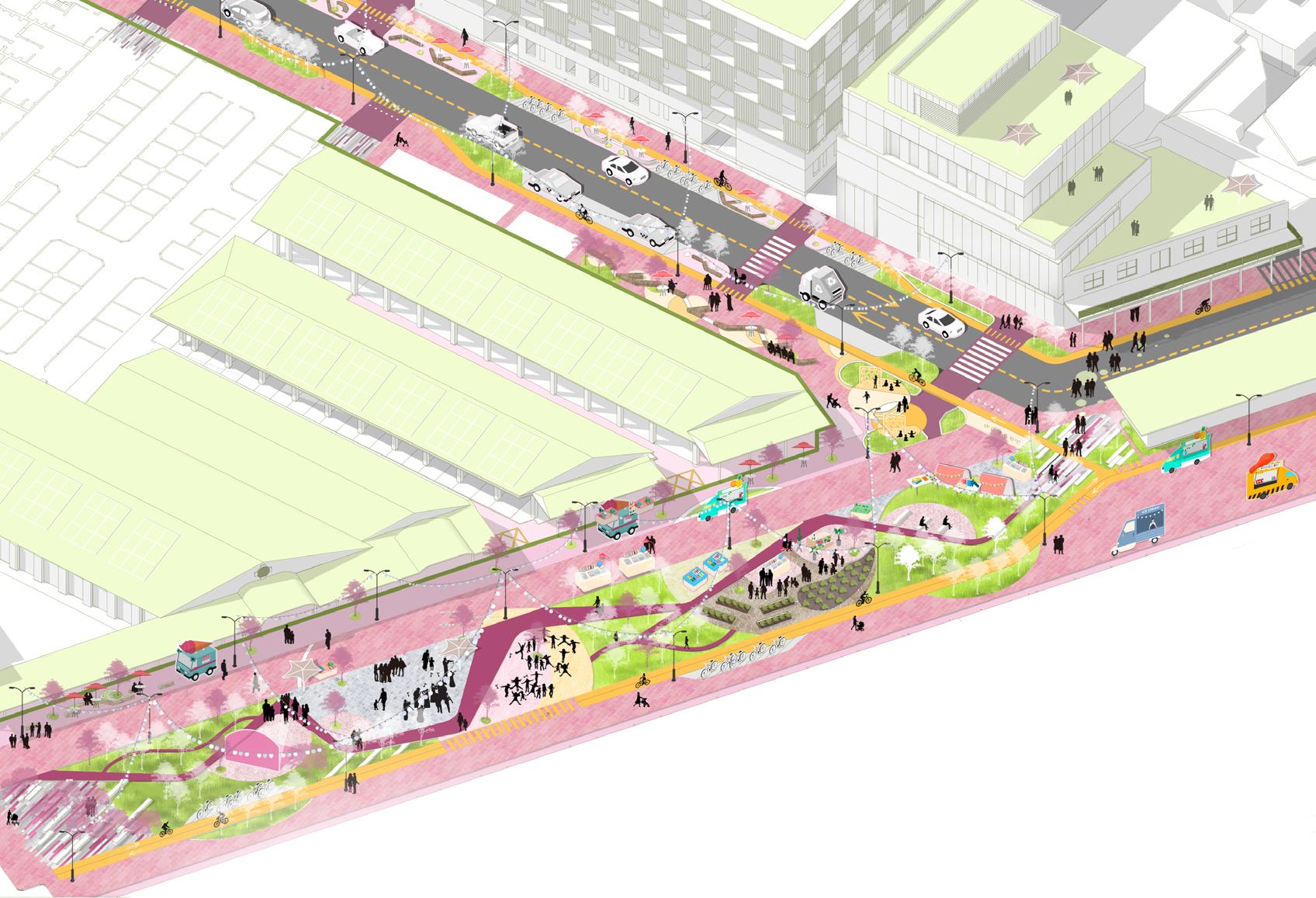
Since 2016, the popular Queen Victoria Market has been undergoing a ten-year refurbishment in response to the Zero Carbon Emissions Initiative. The street design is for the main two streets of the market, making the best use of the market's waste resources and adhering to the tenets of the LID technology, aiming to create a vibrant and carbon neutral market community in 8-year time.
Australia's Energy Structure


Number OfMarketVisitors TrafcFlow


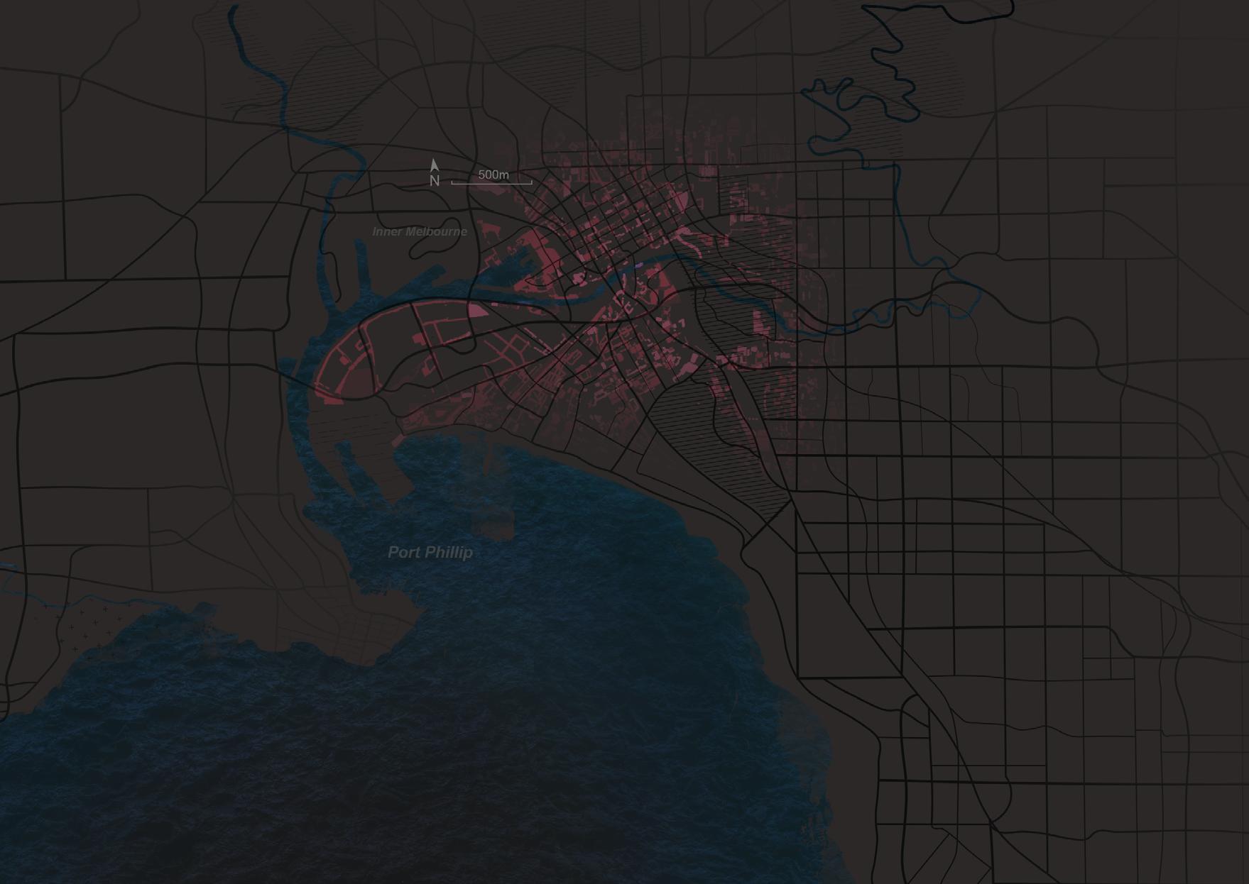
The Australian economy is highly dependent on the fossil fuel industry,but in recent years, Australia is actively looking for carbonzero measures after experiencing the impact of climate change.
Australia's International Status
The government's inaction in the face of climate issues has been challenged by domestic and international environmentalists.
After Australia was involved in World War I, Australia was rapidly industrialized.
Carbon emissions increased these years, but the vegetation coverage in the city center has been decreasing quickly.

During this year, Australians started to witness several instances of extreme shifts from drought to above-average precipitation.
The government's disregard for carbon-zero regulations has led to collective protests and even clashes.

Homeless Air pollution Mass Procession Decline in Biodiversity Drought Disaster Great Barrier Reef Receding Wildfire Disaster The first Australian Commonwealth Climate changing breaks records firstly Climate change protections erupt 1901 2016 2021
Social Impact Environmental Impact Carbon emissions per capita
2% Percentage
PS:
Differences in generation by fuel Carbon emision Industrial GDP Victoria Province 1971 2020
Point tree cover change 2014-2018 by modified mesh block
Climate Impact Of Carbon Melbourne Australia
I'm starting to tug on this rope ! Look! It is rising!


It is rising,too!

How Life Will Be Like In The Future

I find lots of new furniture made of coffee products in this market. I am so curious about that.
The First "happy winter" festival begins,I've heard that the ice is made with CO2 temperature control system.
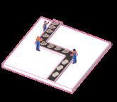


The new tablewares are also made of recycled materials which attract lots of Environmentalists come here to have a meal.

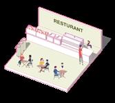
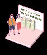
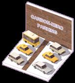
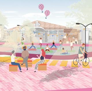
It is my favorite plaza because I can enjoy skating on the ice in the winter, in this large car park !


Solar System Temperature Underground Parking Carbon-Zero Market Aims Space Vitality The Site-based Carbon emision Coffee Grounds Processing Technology Adsorption Bricks Sidewalk Renovation Water Resource Energy Recycling Fertiliser Worm Farm Carbon emision flow Carbon Cycle Ideal Future Main motives Activities/Technology Electricity Resource Land Users Transportation Low Carbon Festivals Profits Supervision System Reward System CO2 Temperature Control System Coffee Grounds WasteFood WastePaper 25 50 75 100 % 25 50 75 100 % Nowadays Byo Cup Collection Program Pick-A-Box Activity Low Carbon City Furnitures staffslocalresidents tourists Land user components RECYCLE YOUR COFFEE CUP HERE RECYCLE YOUR COFFEE CUP HERE CUP FOR BYO RECYCLE YOUR COFFEE CUP HERE CUP FOR BYO RECYCLE YOUR COFFEE CUP HERE CUP FOR BYO RECYCLE YOUR COFFEE CUP HERE CUP FOR BYO RECYCLE YOUR COFFEE CUP HERE CUP FOR BYO RECYCLE YOUR COFFEE CUP HERE RECYCLE YOUR COFFEE CUP HERE RECYCLE YOUR COFFEE CUP HERE CUP FOR BYO RECYCLE YOUR COFFEE CUP HERE BYO RECYCLE YOUR COFFEE CUP HERE CUP FOR BYO The Process Of Carbon Preservation Of Coffee Products Energy Circulating In The Market
RECYCLE YOUR COFFEE CUP HERE CUP FOR BYO RECYCLE YOUR COFFEE CUP HERE CUP FOR BYO Coffee grounds Coffee cup Plastic cup lid Separatetrash SmashProcess Resturant Underground parking Newcityfurniture Seats/Table/Flowerpoolbox/Post Paper cup Fine grinding Laser processing Change the texture Coffee ground bricks New tableware ≈ 60,000 cups ≈ 27,000 kg ≈14,000 Lb ≈14,400 L will be recycled in this market per year. will be reused in this market per year. CO2 emisions will be reduced per year. bricks will be produced per year. References: https://qvm.com.au/sustainability/ https://compostrevolution.com.au/councils/#impact ; https://www.carbonstop.net/camp
Original motorway
Motorway
Cycle paths

Pedestrian walkways

Transport layout
New Turf
Original plants
Additional plants Greenland
event area
ecological area rest area
resturant & cafe
coffee grounds flow
solar energy
electrcity flow street light positions
1 Tree Array Park
2 Alfresco dining area
3 Screening Station
4 Temporary installations
5 Carbon zero Centre Palaz
6 Farm Lab
7 Meditation Garden
8 Entrance to Pedestrian Street
9 Street Corner Children's Park
10 Electric Bicycle Parking
11 Coffee grounds Recreational Seats
12 Car Parking
13 Bicycle Parking
14 Corner coffee Seats
15 Underground Car Parking Entrance
16 New Greenland
worm farm fertilizer flow activities spots
coffee grounds go as fertilizer
Landscape knots Street Carbon flow Master Plan
0 10 30 50m N 1 2 3 4 5 6 7 8 9 10 11 12 13 14 15 16
Design Analysis
A A' B' B


Isometric Section Of B-B' Isometric Section Of A-A' RECYCLE YOUR COFFEE CUP HERE CUP FOR BYO CUP FOR BYO RECYCLE YOUR COFFEE CUP HERE CUP FOR BYO RECYCLE YOUR CUP FOR BYO RECYCLE YOUR COFFEE CUP FOR BYO Before 7m Motorway Motorway Tree Pedestrian Walkway Pedestrian Walkway 3.5m 3.5m 3.5m 6m 5.5m 3.5m 3.5m 3.5m 3.5m 3m Before After After
Carbonemisionevaluation
Carboncyclebeforedesign

Ithasbeencalculatedthatwithout intervention,thesitereleases2,272tonnesofCO2peryear.
Itiscalculatedthatthesitewillmeetthe carbonneutralitytarget8yearsafterconstructionlanding.

The Northwest View Of Therry St & Queen St
Usinggrasshopper:CardinalLCA CUP FOR BYO Stored+SequesteredCarbon EmittedCarbon Coffeegrounds Coffeegrounds GWPofmaterialinkgCO2/kg 0.0074 0.0010 0.0250 0.0050 0.0200 597tCO2—664tCO2 -87tCO2 -130tCO2 +4tCO2storedcarbon+2tCO2storedcarbon 30tCO2—42tCO2 3,554tCO2—5,600tCO2 770tCO2—1,100tCO2 -9tCO2 682tCO2—800tCO2 Additionaltrees Additionaltrees Newpath Turf Turf Solarsystem Solarsystem -549tCO2 (/year) Foodwaste34tCO2—50tCO2 1,652tCO2—3,304tCO2 334tCO2—640tCO2 282tCO2—400tCO2 Orginaltrees Electricsource WatersourceMotorvehiclesonthestreet EmittedCarbon -30tCO2 +0.15tCO2stored 685t 3,6800/year 1,657,700KWh Stored+SequesteredCarbon(/year) Coffee Newcity CoffeegroundsAdditionaltrees Newcityfurniture Newpath TurfSolarsystem TIME NOBRAC StoredcarbonEmittedcarbon 8
Carboncycleafterdesign
Forest Gap
Type: Individual work
Time: 10/2022-12/2022
Location: East Kalimantan, Indonesia
Tutor:Shiguang Zhu E-mail:541258615@qq.com
Project brief:
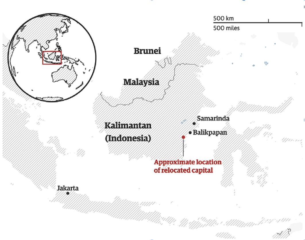
As Indonesia’s capital city, Jakarta, is plagued by big city problems, the government is proposing to build a new capital in the rainforest-rich Kalimantan province. In this background, the concept of “forest gap” is proposed to create an ecologically low disturbance forest city by using Slime Mold Experiment

to Jakarta's deteriorating human habitat, Indonesia formally passes a bill to relocate the capital in 2019.



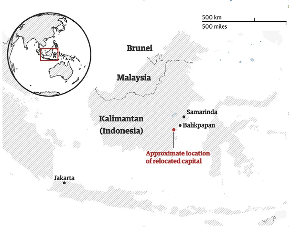
Why Indonesia Moved Its Capital? 20 30 40 Motorcycle use almost doubled and bus use more than halved between 2010 and 2020 Transportation mode for commuting, percentage There are more than 150 active volcanoes in Indonesia, most of them on the island of Java, A Dangerous Jakarta A Crowded Jakarta NewCaptial SamarindaBalikpapan NewGuinea MotorcycleWalk/Bicycle ThereareIndonesia,mostwhereJakartais =1,000,000 ×4 Jakarta NewCaptial NewCaptial NewGuinea Java Sulawesi Kalimantan Sunatra Motorcycleusealmostdoubledandbususemorethanhalvedbetween2010and2020 Transportationmodeforcommuting,percentage MotorcycleWalk/Bicycle CarOthersBus Therearemorethan150activevolcanoesin
×38 ×11 ×10 ×75 =1,000,000 ×4 Jakarta New Captial New Captial Balikpapan New Guinea Java Sulawesi Kalimantan Sunatra 10 2020 2010 Motorcycle use almost doubled and bus Motorcycle Walk/Bicycle Car Others Bus There are more than 150 Indonesia, most them on the where Jakarta is located. ×38 ×11 ×10 ×75 =1,000,000 ×4 Total Population In Jakarta2 CityDensity AgeComposition 0-14years 25 02% Public officials account for 9% of the total. 15-24years 16 99% 25-54years 42.40% 55-64years 8.58% 65+years 7 01% Maximum density Medium Minimumdensitydensity Building Phase I Whole New Capital 1° 6' 0'' S 1° 3' 0'' S 1° 0' 0'' S 0° 57' 0'' S 1° 9' 0'' S 116° 57' 0'' E 117° 0' 0'' E Water area Mangrow ecosystem area Farmland Protected forest area Main city area Urban jungle District park Forest park Phase I Planning Area Farmland Residental Wetland Orchard Current Site Status Government Planned Sites Due
NewCaptial NewCaptial 500km SamarindaBalikpapan 0 2020 2010 MotorcycleWalk/Bicycle CarOthersBus BalikpapanTherearemorethan150activevolcanoesin Indonesia,mostofthemontheislandofJava,Jakarta New Captial New Captial 500km Balikpapan Samarinda New Guinea Java Sulawesi Kalimantan Sunatra 10 2020 2010 30 Motorcycle use almost doubled and bus use more than halved between Transportation mode for commuting, Motorcycle Walk/Bicycle Car Others Bus Balikpapan There are more than 150 active volcanoes in Indonesia, most of them on the island of Java, where Jakarta is located. ×38 ×11 ×10 ×75 =1,000,000 ×4 The nearest volcano to Jakarta is 10 km away.
Indonesia,mostofthemontheislandofJava, whereJakartaislocated.
Jakarta

The Site Of New Captial
Polluted Water Forest Fire Farmland Fish Habitat
Landfilled Garbage Direct groundwater extraction 2-3m 3-4m 4-5m
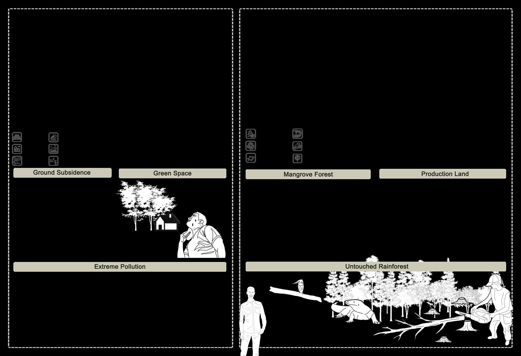
2.1M 20,000 Car Pollution Sbusidence Less Green Space

Terrestrial Wildlife Habitat Bird Habitat Plantation
25cm 1,400
of ground subsidence per year in in parts of Jakarta.
It was so hot, there was no shade to rest outside and I felt my skin burning.
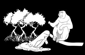
proboscis monkeys, a species endemic, are hosted by
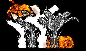
The local residents have cleared part of the rainforest for oil palm cultivation, which can easily cause fires.
kg garbage would be landfilled in the suburb area per year. items flow into the ocean per hour Ciliwung river.

of northern Jakarta will be inundated by 2050. of urban land is green space, and it is still occupied by building. days of healthy air recorded in the half of 2019.
The air quality and environmental quality are awful!

Irrawaddy dolphin are living in Balikpapan Bay.
The development of the new capital will inevitably destroy the ecology. We meet a big challenge now!


200 172+
square kilometres of proboscis monkeys habitat lost because of plantation.
The forests in Kalimantan remained 24.5 millions hectares in 2019.
57+ 1.8M
species of reptiles and amphibians in the rainforest of Kalimantan.
species of birds in the rainforest of Kalimantan.
hectares of rainforest are destoried by small peasant economy illegally per year during 2014-2019.
Two
The
Sites Face Different Environmental Issues
Ground
Subsidence
5 2 0 2 0 5 0 2 7 1 0 2 5 2 0 2 0 5 0 2 7 1 0 2
28.7+ 95%+ 4.65% 10 0-1m 1-2m
Path Modelling Experiment


Fixed departure point to simulate future road directions by switching food locations of slime mold and altering light.


I recorded the final results of each slime experiment, taking the most obvious paths taken by the slime and tracing them into a network.
In order to find the shortest path of development with the least impact , I found slime molds as the experimental material and created a model that matched the local topography through 3d printing, using partial light to simulate the city boundaries and rivers according to the light avoidance properties of slime molds.


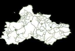
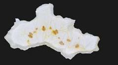
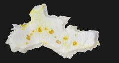
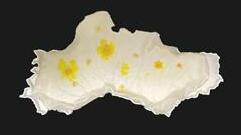
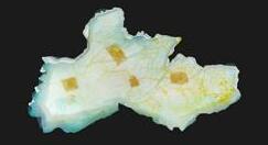
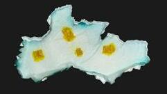
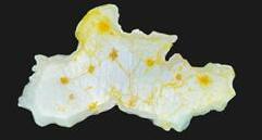
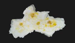
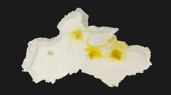
How
Concept can be applied here?
Forest Gap
The Site Orchard Residental Commercial Office Tourism Open Space Public Facilities Residential Human Settlement Spatial Development Model Traffic Network Low-density City Verify Original Forest The Site Forest Gap Human Settlement Ecological Conservation Farmland Wetland An Original Forest Top view Top view When A Tree Falls Down A New Eco-system Forms Forest Park Slime Mold Experiment
Experiment 1 Experiment 2 Experiment 3 Experiment 4 T=28 hours T=0 hours T=0 hours T=0 hours T=0 hours T=34 hours T=34 hours T=34 hours Transport Center Objectives(Food)
Overlay Layers And Optimise Roads Master Plan


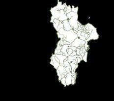
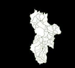
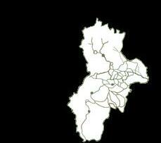
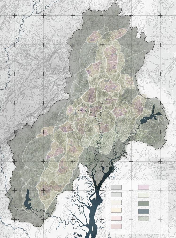
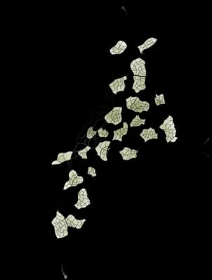
Avoiding the centralisation of urban construction, urban expansion is first carried out in sub-regions, and carrying out plant restoration schemes in batches in established urban areas. The construction of reservoirs and a robust urban pipeline system avoids the direct exploitation of groundwater. Each 'canoy gap' is a small city, creating 15-minute travel circles to minimise daily motorised travel for city dwellers.
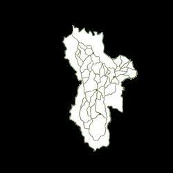
Boundary 3.25m 3.25m 3.25m 3.25m 3.25m 3.25m Number of lane changes during peak hours. Reducing the deterrent effect of driveways on animal migration. Main access to every canoy gap. 3.25m Tidal Road 3.25m 3.25m 3.25m 3.25m 3.75m 3.25m 2m 2.5m 2.5m 3.25m 3.25m Wild Animals' Culvert 3.25m 3.25m 3.25m Primary Road Secondary Road Tertiary Road
Building Height Primary Road Secondary Road Tertiary Road Water Conservation Farmland Water Protection Area River Reservoir 0-15m 16-30m ecological transition forest park urban jungle residental commercial public facility office tourism urban green space river farmland 31-45m 46-60m Phase I Phase II Phase III Phase IV 116° 42' 0'' E 116° 39' 0'' E 116° 36' 0'' E 116° 45' 0'' E 116° 48' 0'' E 116° 51' 0'' E 116° 54' 0'' E 1° 6' 0'' S 1° 3' 0'' S 1° 0' 0'' S 0° 57' 0'' S 0° 54' 0'' S 0° 51' 0'' S 0° 48' 0'' S 1° 9' 0'' S BUS
Revegetation Process
Diverse Ecologies And Long-term Revegetation Construction
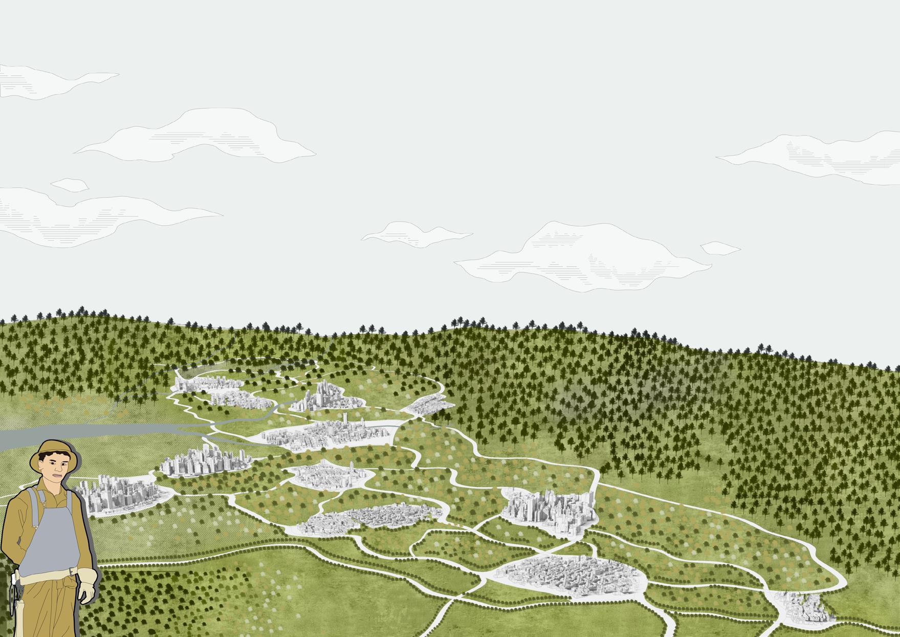
AFTER 5 YEARS
small peasant economy
The planting mode in the site is mainly in small peasant. Private occupation are harmful to the environment, and low-tech cultivation often generates little income.
PLAN B: Oil Palm Restoration
NOW NOW
Oil palm plantations destroy rainforest ecosystems and are prone to fires and secondary disasters in hot weather.
intercropping model
The land will be contracted for agriculture on a community basis and a community-enterprise system will be introduced, with a choice of cash crops such as rice, coffee plants, oranges and bananas.
AFTER 4 YEARS
AFTER 6 YEARS
wild bee bee farming area
Bees are an integral part of the rainforest ecosystem and can be used to increase income through ferine honey.
AFTER 8 YEARS
In other words, I think the government should improve the legislative system, strictly control the development of the rainforest, and raise the awareness of citizens to protect the environment.
Eliminate oil palm plantations in phases and based on natural regeneration , the secondary rainforests would grow gradually.
As the land on which the oil palm is planted is rich in minerals and fungus, it is possible to develop an undergrowth fungus economy here.
Develop parts of the rainforest for tourism and low-carbon,locally styled buildings for recreation, residential and other activities.
PLAN A: New Cooperative Farm
plantation rehabilitate woodland fungal economy tourism
Tie In Memory
Type: Individual work
Time: 04/2022-06/2022
Location: Nanjing,China
Tutor:Min Yin
E-mail:Minyin007@njau.edu.cn
Project brief:
The site is located in Zhonghua Gate section of the Ming city walls.Through the discovery of the history of the Ming City Wall and the use of a web-based questionnaire to gauge the public’s knowledge and opinions on the culture of the wall in Nanjing. 7 different types of activities have been designed to give each green space a specific activity space through the internet, so that each visitor can fully engaged in a journey of cultural discovery of the city walls.

Site Background




I live far away from the City Walls. It is quite famous in the city but not all over the country.
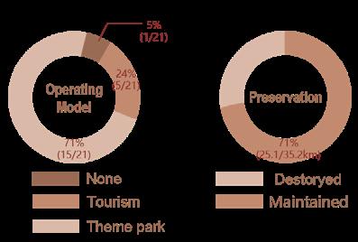
The State Of The City Walls In 2022
There are many cultural buildings in this places.
The City Walls are beautiful.I think obtaining some parks and gardens would be better.
The fresh air makes me relaxed.I think the City Walls are well protected by the government.
Culture Facilities are lack.We should consider more about the site's landscape.
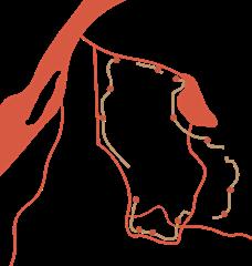
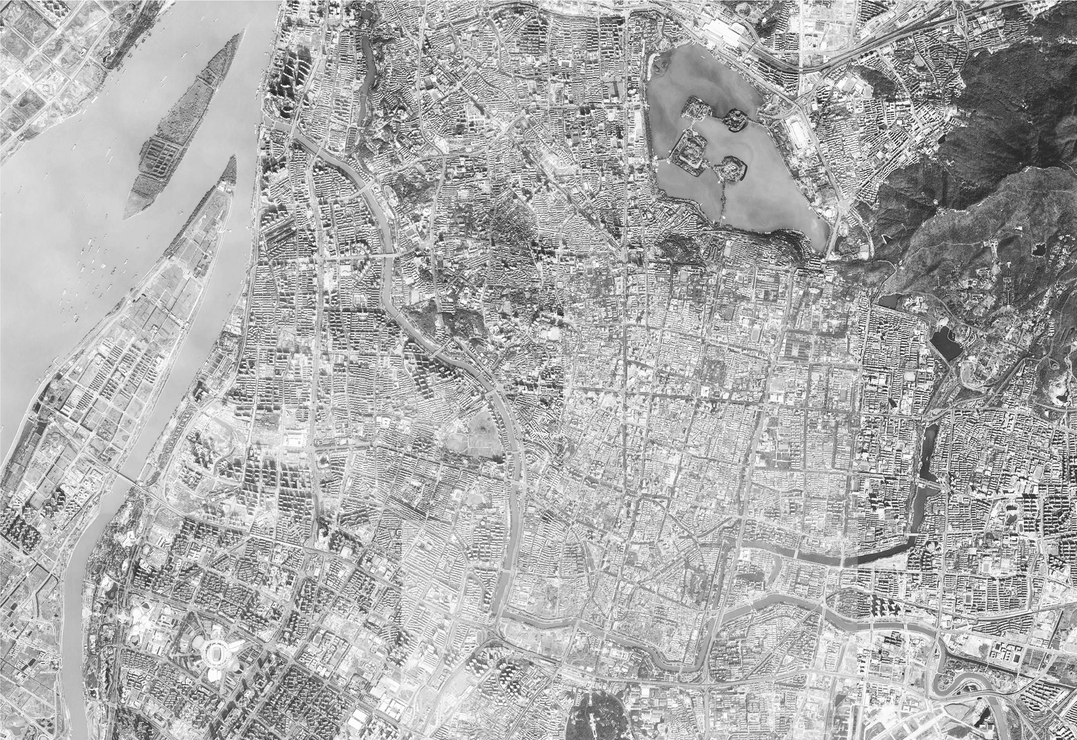
 Yangtze River Qinhuai River Ming City Walls
City Wall Gate
Jia River
Xuanwu Lake
China Jiangsu Province Nanjing
How to revitalize the memory


Steps To Learn More About City Walls
This is a conceptual map in which I have divided the designed landscape types into three categories and allowed the road network to link the entrances and exits with the various attractions so that visitors can fully enjoy the learning opportunities in the shortest path.

Reedbeds
More Green Spaces
Planting trees according to traditional Chinese culture and landscape levels.
"Lens" Sculptures
Create a monumental sculpture, shaped like a sundial and a lens, to focus the eye on the city
The crater in the wall can be seen and marked.
Shore stakes

Learn about the four different types of bricks used to build the city walls and other technical knowledge.


VR technology
People can Interface with ancient scenes through vr devices.
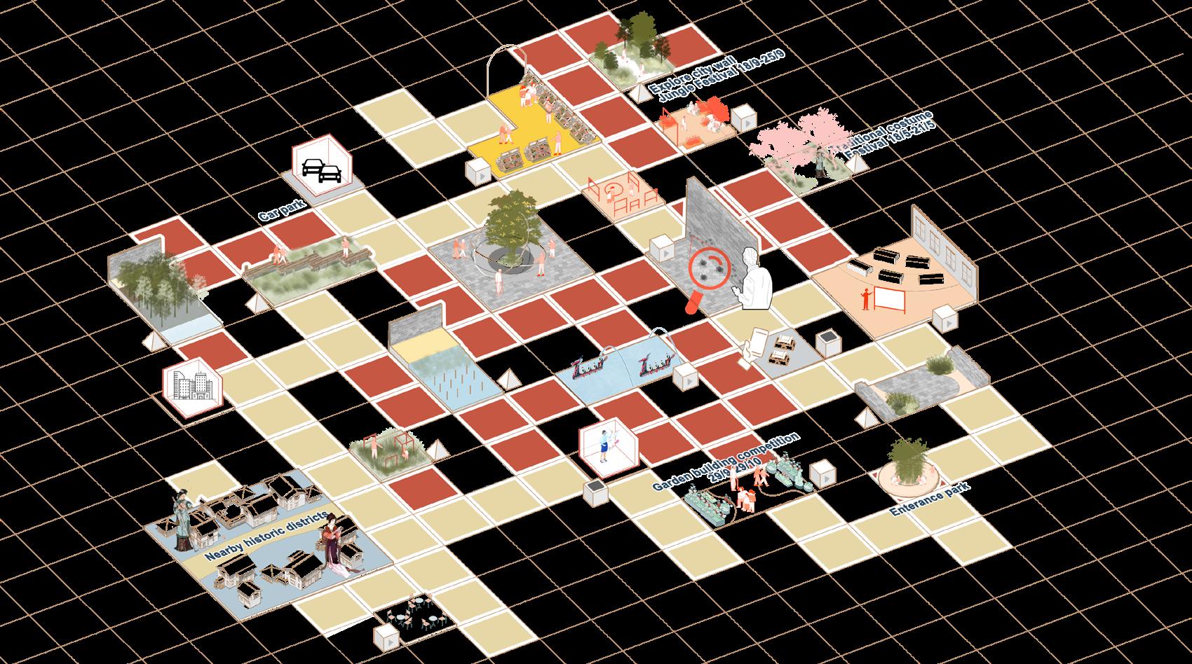
Traditional Costumes
The annual Hanfu Cultural Festival will be held here.
Recreational Routes
Listen to storytellers' lecture to learn more about the history of the city wall.
Creating a walled garden in the sky.
City Wall Site On The City Walls On Land Water-Friendly Human Activities Access To Knowledge Passive Landmark Presentation Evening Discover Stories
Celebrations
Habitat Revitalize Cultural MEMORY Proactive
Various Spaces
with good meaning
Species Plant Restoration
Festive
Rebuild
Creat
Plants
Native
Scan QR Code Plant A Flower
For Wall's Scars Storyteller Festival
Look
Learning Routes
Ecological design
design
design
Technology
Activities
Two methods to receive information and awards
The design plots can also be obtained at different attractions with Zodiac stamps associated with the city walls.
People can browse the official website and participate in events of interest, collecting a sticky note/stamp for each event they attend.
The design plots can also be obtained at different attractions with Zodiac stamps associated with the city walls.
“Adopt a Tree" campaign for Nanjing residents,you can plant a tree in your community.
The design plots can also be obtained at different attractions with Zodiac stamps associated with the city walls.
can browse the official and participate in interest, collecting a note/stamp for each attend.
The design plots can also be obtained at different attractions with Zodiac stamps associated with the city walls.
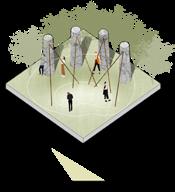
Tree" campaign for Nanjing residents,you can plant a tree in your community.
Collecting all the stamps awards a small potted plant in the form of a blind box.
People can open the app at any time and find out about the past and the future of the place they are standing on.

Collecting all the stamps awards a small potted plant in the form of a blind box.
This software keeps track of the number of photos people have taken since visiting the place.

The accumulated points can be redeemed for consumer vouchers, City Wall souvenirs and tickets to other historical attractions in Nanjing.
People can visualise the effects of climate change on historic heritage which can be identified and photographed. Points are awarded for correct identification.


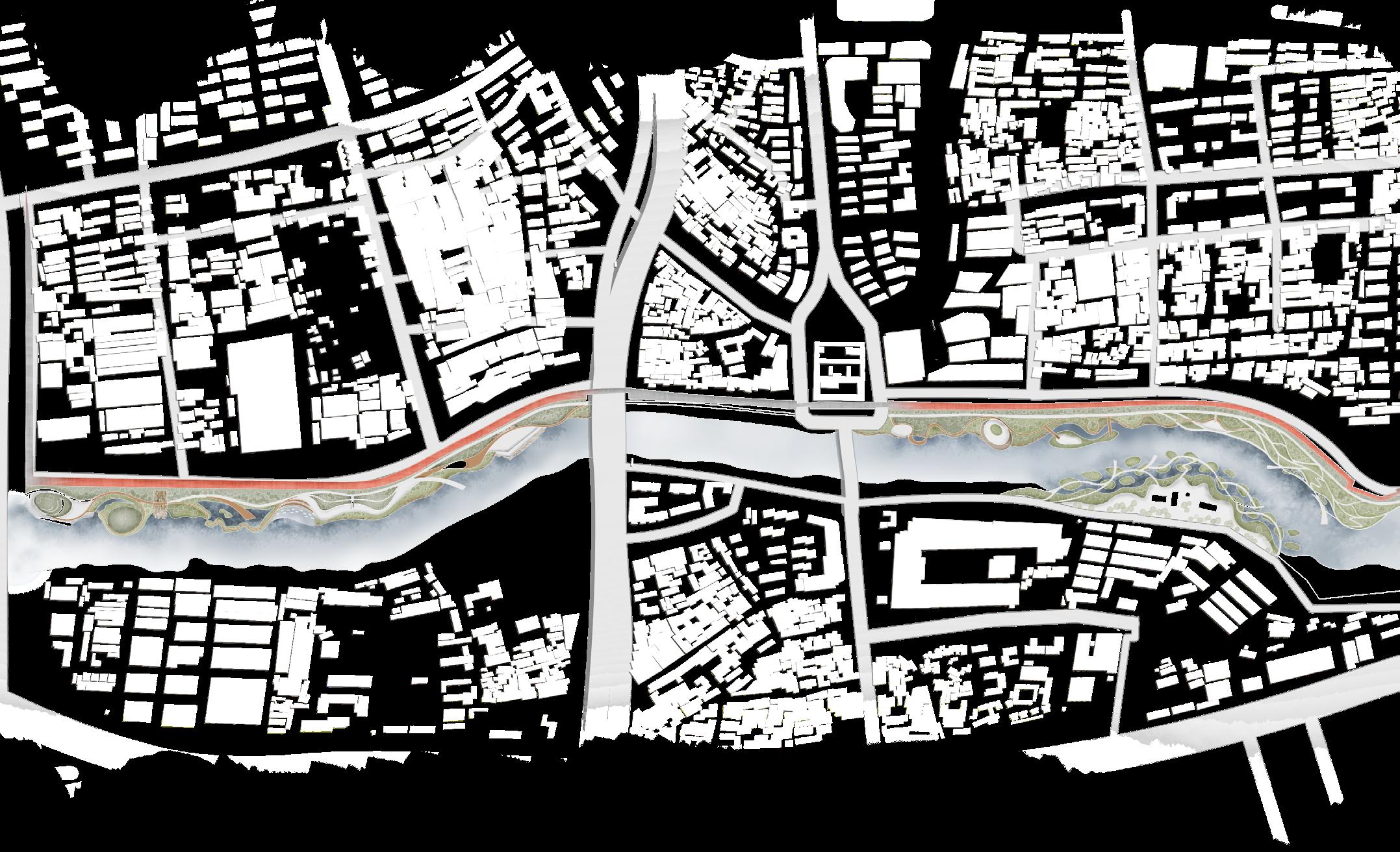
N 0 50 200M 100 1 Memorial Greenland
Memorial Stone Column Lawn
Bricks Barge Plaza
Park
6
8
Sculpture Landmark 10
Museum Island 11 Landscape Overhang 12
Wall Jungle 13 Visitors' Science Centre 14 Water Trestle Digital Memorial Stone
Lens-themed Gallery Walkway Seasonal Waterfront Flower Bed
Wall Bricks Barge
2
3
4 Ming Dynasty Theme Fountain
5 Historical Tunnels
Viewing Platform 7 Waterfront Fishing Terrace
Seasonal Gardens 9 Lens-themed
Cultural
City
Column
City
A3
A5
02 03 04 05 m 79 5 900 12310 23 12310 18000 +1
+1 ?
A1 A2
A4
A6
+1 +1
Learned knowledges Today's target exercise volume photos has been taken Today's steps Recent events Next Science locations Online quiz sessions with correct answers points. NANJING ? 明城墙制 01 02 03 04 05
06
WALLNANJING NANJING ? 明城墙制 1 2 3 4 5 6 7 8 9 10 11 12 13 14


After The Design On The Site
This is a great spot to take photos, with the city walls and the Great Sealion Temple in the frame.
The route to find the scars of the city walls allows people to get up close and personal with the history of the city.
The monumental square at the entrance has a large lawn for resting and picnicking.
A full view of the city walls from the opposite bank and access to the historic river.Standing here, you can see scenes that people saw centuries ago.
The Same Rights
Type: Individual work
Time: 10/2021-12/2021
Location: Nanjing,China

Tutor:Shiguang Zhu E-mail:541258615@qq.com
Project brief:
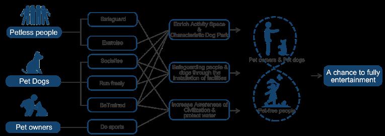
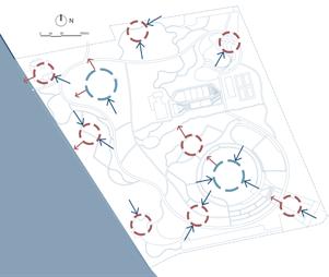
Many pet dogs face mental stress and excessive energy due to the mismatch between urban parkland and the number of pet dogs in the city. This design site is located at the edge of Xuanwu Lake, a city park with a very high number of pet owners in the surrounding area, and aims to build pet-friendly facilities and improve water quality to provide an amusement park for dogs to release their stress.
Site Location Analysis
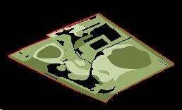


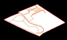
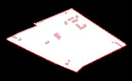
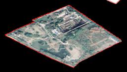
Surrounding Area


Dog-friendly Accessibility
Pedestrian
Groundcovers
Sports Square
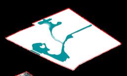
Recreation Square
Motor Road
Pedestrain


Problem Analysis

Water Area
Dry Area
Perennial
Seasonal
Area
Area
Trees & Shrubs
Road Building Satellite Base Map
Site
Reachable Secondary Pedestrian Car Reachable
Community University Site
Area Green Area Water Area
Real Estate
Commercial
Secondary Pedestrain
Jiangsu Province Nanjing China China
Households Have Dogs
Facilities Of Dog-friendly Park

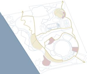
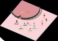
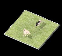
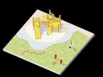
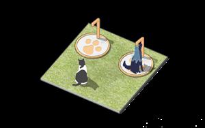
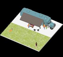
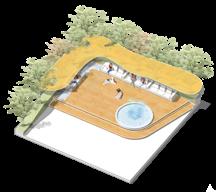
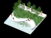
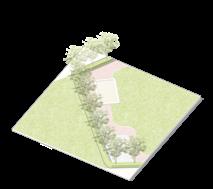
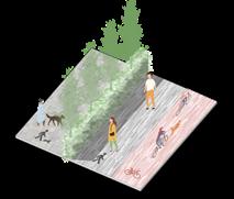
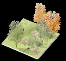
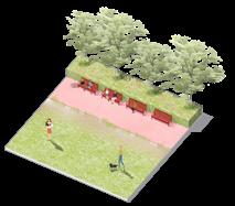
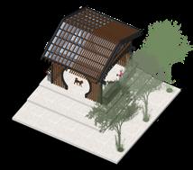
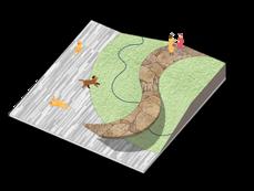
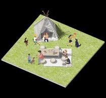
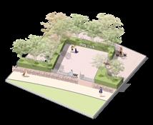




1 Entrance plaza 2 Seasonal Gardens 3 Fitness Park 4 Square Dance Park 5 Sunny Lawn 6 Ecological submerged wetlands 7 Underwood camp 8 Camping bases 9 Dog Park 10 Ecological floating islands 11 Viewing hill 12 Tea Room 13 Children's playground 14 Sports Park 15 Physical Fitting Area 16 North car park 17 Secondary Entrance 18 South Car Park 2 3 4 1 5 6 7 16 8 9 10 A A' 11 12 13 15 17 17 14 Xuanwu Lake Longpan Road
Second class landscape viewpoint First class landscape viewpoint Main road Secondary road Tertiary road Sightline Sightline Master Plan
Yangguang Road
Dog friendly path Off-leash activity Rope-need activity area
1Square
1Dog
Self-service water
Respite benches Small sandpit Waterfront Promenade Woods Trail Game facilities Safety roads
1Picnic
with
pet dogs 1Camping bases 1Community space 1Dog park entrance 1Eploring hill
dance park
parks lawn
dispensers
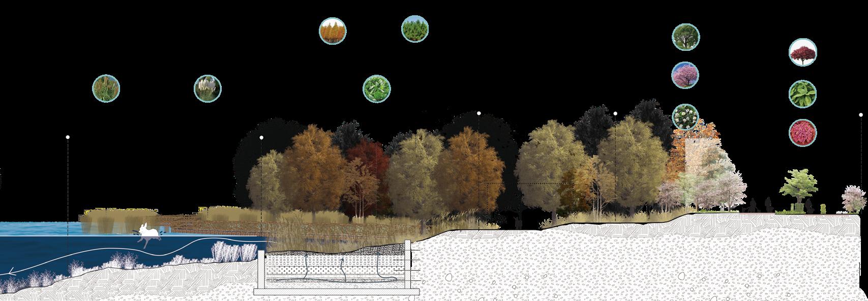
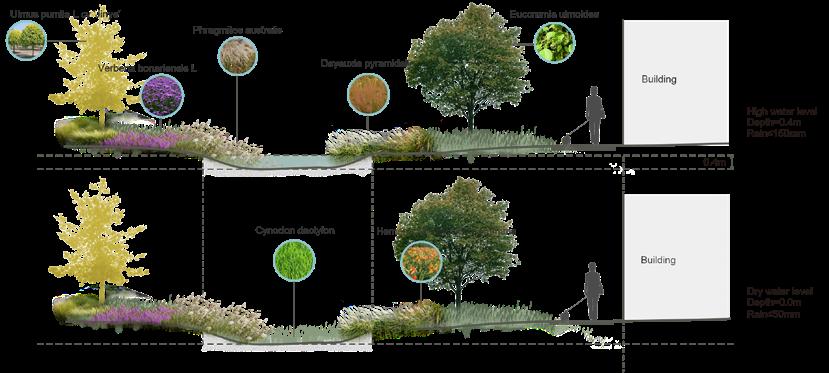
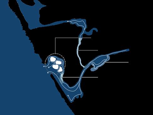
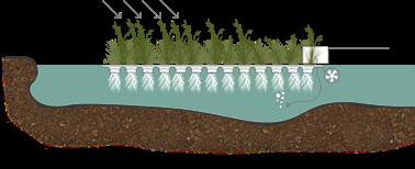
Phytotherapy+Water Ecology Enhancement Plan
Use plants to purify the water so that your dog can have a chance to swim in it.
Use dog-friendly plants to give pet dogs a chance to sniff and explore.
Ecological floating islands
Ecological floating islands

Seasonal dry zone
Submerged wetlands
Lightweight solar panels
Xuanwu Lake
Shallow reedbeds
Petri dishes
Weight carrier
Seasonal dry zone
Isometric Section Of A-A'

Plan 1
Plan 2
Plan 3
Acorus calamus
Canna indica
Cyperus alternifolius
Aquatic Plant Aquatic Plant Aquatic Plant


Arundo donax 'Versicolor'
Vallisneria natan
Potamogeton crispus L.
Diving Plant Diving Plant Diving Plant
Elodea nuttallii
Taxodium distichum
Pinus elliottii
Submerged wetlands
Arundo donax L Phragmites australis
Sagittaria trifolia
Shallow Beach
Wooden trestle viewing area
Water distribution layer
Main body layer
Filter layer

Drainage layer
communication Space
Green Corridor
Camphora officinarum
Prunus cerasifera
Prunus subgen.Cerasus
Aucuba japonica
Gardenia jasminoides
Hosta planta
Main road
+ + +
"The Way Of Friendship"
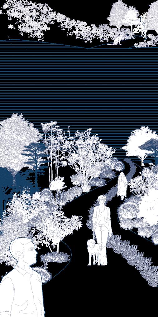
In the past, the garden paths resulted in dogs bursting at people, posing a safety hazard. Now, planting some plants in the middle of the pet-friendly paths to shield them from the view of dogs can effectively segregate people who are afraid of dogs.
"Dogs Playground" "Outdoor Swimming Pool"
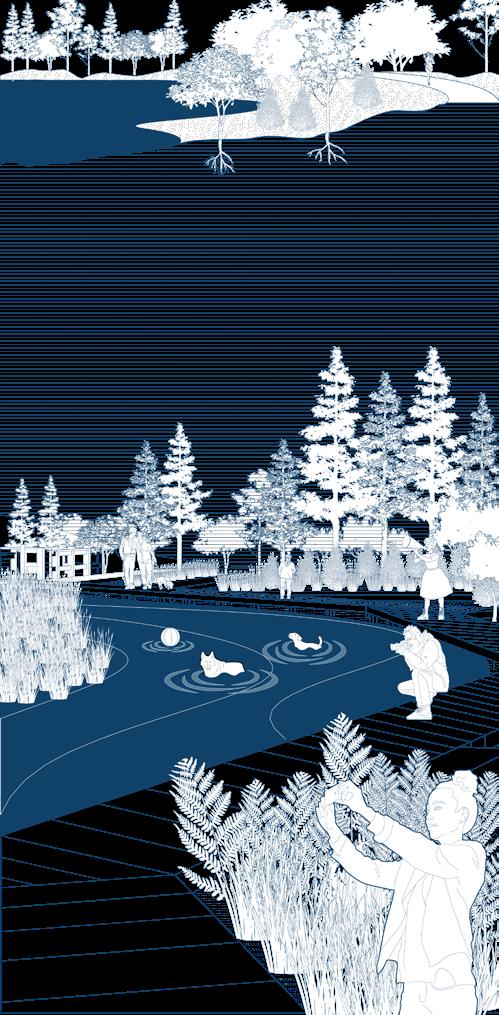
Previously the site was just dead leaves and fallen grass and was filled with plastic waste. Now the site has been transformed into a dog park, giving dogs the opportunity to run and socialise freely.
Previously the road was so far from the water body that people had no access to the water and it was overgrown with green algae. Now, after being purified by plants, water-friendly stacks have been added and clean water is available for dogs to swim in.
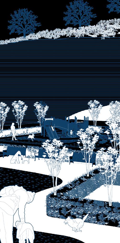
BEFORE BEFORE BEFORE AFTER AFTER AFTER
Graphic Design & Product Design


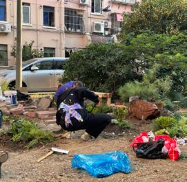
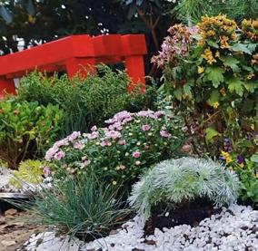
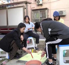
Process of Community garden
Other works

—05—
Photography
construction
Packaging design for Perpetual flower
Poster design for Beijing Opera Club
2019 2019 2020 2020 2019 2021
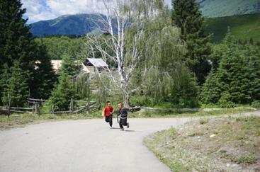
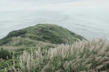
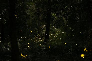
Fireflies on Purple Mountain,Nanjing Zhoushan Island,Zhejiang Province Aletai,Xinjiang Uyghur Autonomous Region Programme for Beijing Opera Club
THANKS FOR YOUR TIME
Application Number: 23146317
Portfolio of GUO ZIQING
Apply for MArch Urban Design programme
Selected works from 2020 to 2022


 Yangtze River Qinhuai River Ming City Walls
City Wall Gate
Jia River
Xuanwu Lake
China Jiangsu Province Nanjing


