1 minute read
Guiding Values and Framework


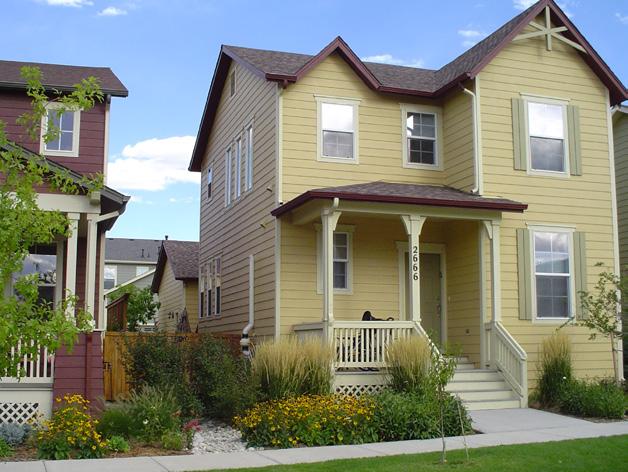
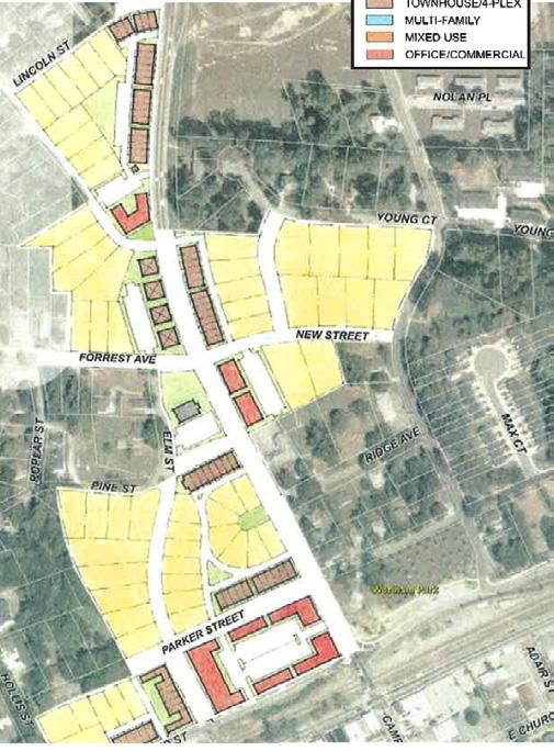
Today, Development is Evenly Distributed Throughout the North Side
Figure 21: Existing North Side Development Framework
Legend
= Mixed Use
= Urban - Residential Village = Suburban Residential = Green Space or Institutional = Proposed Shared-Use Path
= Proposed Roundabout
CORRIDOR TRANSPORTATION RECOMMENDATIONS
The following three recommendations apply to the entire Dallas Highway LCI study area. Other transportation recommendations found further in the Study have specifics on location, cost, dimension, and cost.
1
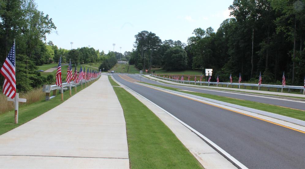
Improve Bicycle and Pedestrian Mobility Implement Shared Use Path
A Shared Use Path should be installed along the entire Dallas Highway corridor from E. Strickland Street to the new Bypass. The Shared Use Path should range between 10-feet to 14-feet in width, with pedestrian-scaled lighting and street trees.
Objective
A Shared Use Path will improve bicycle and pedestrian safety, and increase non-vehicular connectivity to key destinations within the North Side neighborhood. The large number of local destinations, like Downtown Douglasville, Jessie Davis Park, and Stewart Middle School, provide the walkable destination points necessary for a successful shared-use path.
2
Install On-Street Parking Along Dallas Highway at Proposed MixedUse Nodes On-Street Parking
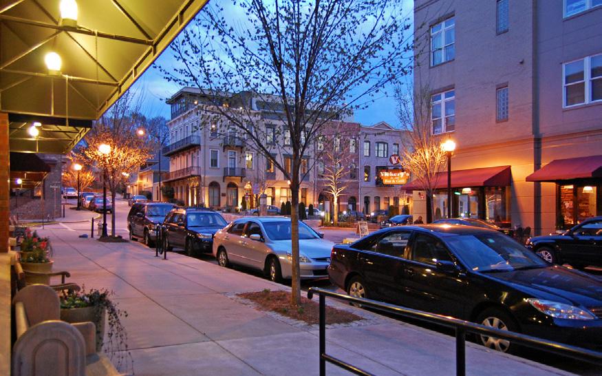
There are two mixed-use nodes proposed along the Dallas Highway corridor in the North Side Redevelopment Plan. On-street parking will help support the proposed retail in these nodes, while providing a buffer between the pedestrian realm and vehicle travel lanes.
Objective
Encouraging on-street parking, once redevelopment occurs along Dallas Highway, will improve pedestrian safety, slow vehicular traffic through these nodes, and improve ease of access for retail developments.