7 minute read
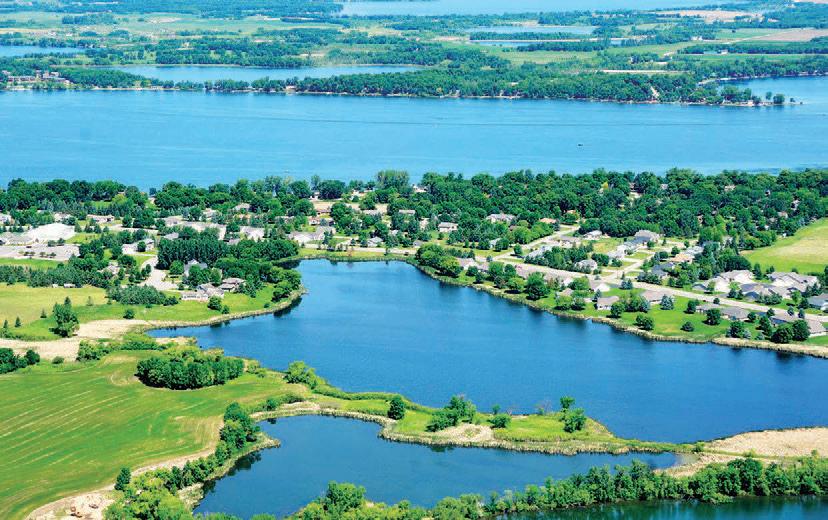
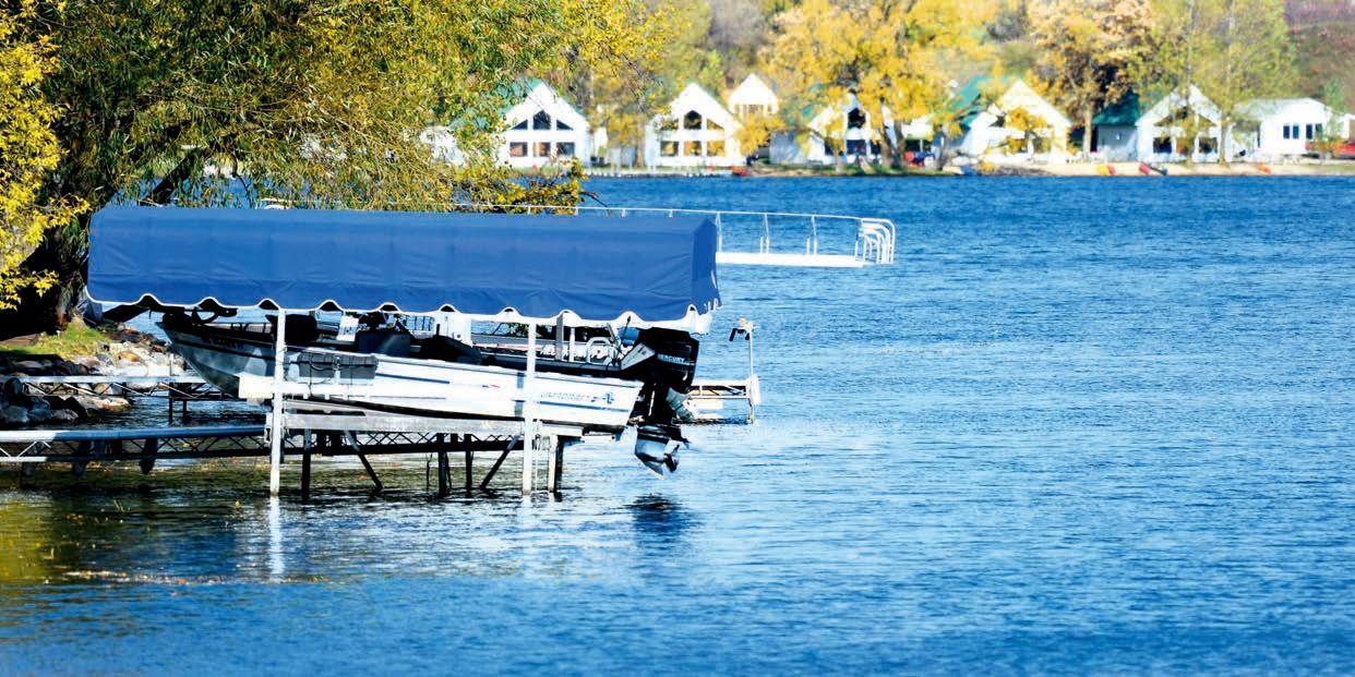
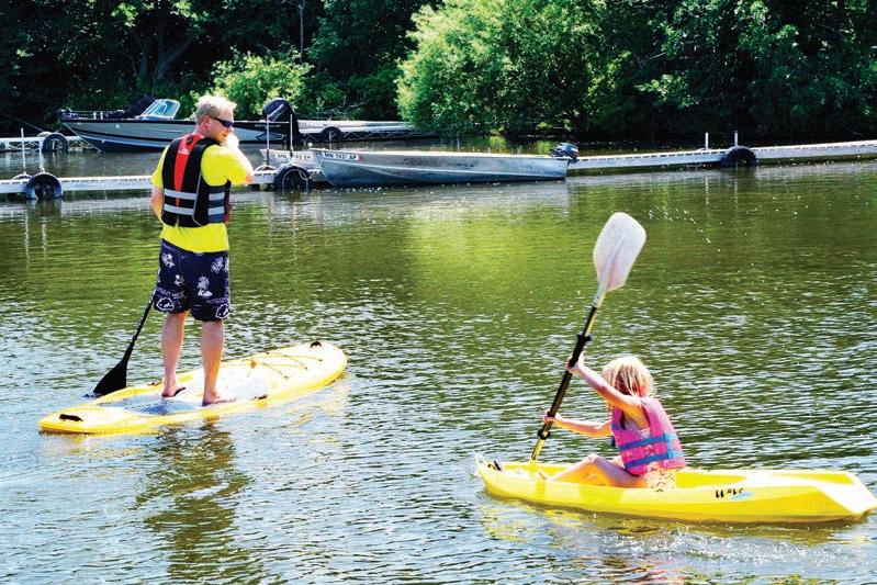
Lakes


AARON BLACKWELL CARLOS
Size: 614 acres Depth: 16 feet Features: Shallow with sandy beaches Public access: South end off Lakes Rd. Size: 307 acres Depth: 42 feet Public access: East side off Country Ln. Named for early settler of Holmes City.
AGNES
Size: 137 acres Depth: 31 feet Features: Fishing pier in City Park Public access: City-owned access on southwest end off Agnes Blvd. Named for early settler Will Kinkead’s girlfriend who lived out East.
ANDREW
Size: 918 acres Depth: 83 feet Features: Sandy beaches, spring-fed, popular recreational lake Public access: Southeast side off Co. Rd. 28 Named for first physician in Alexandria.
BROPHY
Size: 293 acres Depth: 44 feet Features: Island, sandy beaches Public access: Northwest shore off Co. Rd. 82 and Brophy Park Rd. Named for Brophy family, early residents.
BURGEN
Size: 174 acres Depth: 43 feet Features: Small, steeply sloped shoreline Public access: North end off Co. Rd. 23 Named for William Burgen, who lived on the southwest shore in 1869. Size: 2,598 acres Depth: 163 feet Features: Access to chain of lakes, clear, deep Public accesses: North shore in state park off Co. Rd. 38; northeast shore near state park; west shore off Co. Rd. 11; east shore off Co Rd. 42 and E. Lake Carlos Dr. Reports vary, but one story is that lakes L’Homme Dieu and Carlos were named by an early settler in honor of two friends at West Point Academy.
CHIPPEWA
Size: 1,175 acres Depth: 95 feet Features: Deep, headwaters of Chippewa River Public access: Northeast corner off Co. Rd. 12 Named for Native Americans.
CHRISTINA
Size: 3,978 acres Depth: 14 feet Features: Large, shallow Public access: Southwest end off Co. Rd. 82 Named for the Queen of Sweden.
COWDRY
Size: 242 acres Depth: 52 feet Features: Small, clear Public access: Northeast corner off Co. Rd. 82 and E. Lake Cowdry Rd. Named for Samuel Cowdry, an early settler.
Size: 281 acres Depth: 35 feet Features: Quiet Public access: North end off Co. Rd. 27 Named for its contour.
DARLING
Size: 1,050 acres Depth: 62 feet Features: Water access to chain of lakes Public access: Access by water from Lake Carlos Named for Andrew Darling who settled in the area in 1860.
DEVILS
Size: 234 acres Depth: 35 feet Features: Spring-fed, sandy beaches, connects to county park Public access: North side off Co. Rd. 7 and Devil’s Lake Rd.
GILBERT IDA
FREEBORN
Size: 248 acres Depth: 18 feet Public access: Northwest side off Co. Rd. 96
GENEVA
Size: 640 acres Depth: 63 feet Features: Pier on north end, access to chain of lakes Public access: Northwest side off Hwy. 29 and Southeast side off Co. Rd. 82 Called Rowley on early maps; renamed by Walter Scott Shotwell after resort town of Lake Geneva in Switzerland. Size: 202 acres Depth: 17 feet Features: Quiet Public access: North end off Co. Rd. 7 and Moe Hall Rd. Named for an early settler.
GRANTS
Size: 177 acres Depth: 60 feet Public access: Northwest corner off Co. Rd. 94
HENRY
Size: 152 acres Depth: 32 feet Features: Next to City Park Public access: Accessible by water from Lake Agnes Named for the son of Charles Cook, an early settler. Size: 4,427 acres Depth: 106 feet Features: Large, clear; sandy beaches Public accesses: North side off Co. Rd. 34 and Big Horn Bay Rd.; east side off Co. Rd. 34 and Pilgrim Point Rd.; southeast side off Co. Rd. 34 and Sunset Strip Named by Myron Colony, one of the lake’s first colonists, in honor of a girlfriend out East.
INDIAN
Size: 76 acres Depth: 38 feet Public access: North side off Co. Rd. 6 and Indian Lake Rd.
IRENE
Size: 639 acres Depth: 44 feet Public access: Northwest side off Hwy. 29 and Irene Rd.; southeast side off Co. Rd. 64 First known as Reservation Lake, renamed for Irene Roadruck, daughter of early settler.
JENNIE
Size: 300 acres Depth: 6 feet Public access: South end of Co. Rd. 56
LATOKA
Size: 753 acres Depth: 108 feet Features: Clear, deep, good water quality, public swimming beach Public accesses: North side off Co. Rd. 82, West side of South Basin off Hwy. 27 and Vonderheid Dr. Named for Native Americans.
L’HOMME DIEU
Size: 1,801 acres Depth: 85 feet Features: Access to chain of lakes, public swimming beach Public accesses: Northwest side off Co. Rd. 42; northeast side off Co. Rd. 120 Reports vary, but one story is that lakes L’Homme Dieu and Carlos were named by an early settler in honor of two friends who attended West Point.
LITTLE CHIPPEWA
Size: 269 acres Depth: 24 feet Features: Shallow, sandy, connects to county park Public access: South shore off Co. Rd. 108 Named for Native Americans.
MAPLE
Size: 831 acres Depth: 78 feet Features: Mostly shallow, spring-fed, excellent water quality Public access: North end off Co. Rd. 4; east side off Co. Rd. 87 Named for the many maple trees that surrounded the lake.
MARY
Size: 2,450 acres Depth: 40 feet Features: Large, gradual slopes, popular recreational lake Public access: Northwest corner off Hwy. 27; southwest corner off Co. Rd. 4 Named for Mary Kinkead, a sister to some of Alexandria’s original settlers. Size: 450 acres Depth: 40 feet Features: Spring-fed, deep, clear Public access: Southeast corner off Hwy. 27 Called Cornelia on early maps; unknown how it was renamed.
MILTONA
Size: 5,724 acres Depth: 105 feet Features: Largest lake in county; deep, clear; sandy beaches Public accesses: North shore off Co. Rd. 14 and Sandy Beach Dr.; northeast side off Hwy. 29 and North Lake Miltona Dr.; west side off Spring Lake Rd. Named for Florence Miltona Roadruck, who homesteaded in Leaf Valley with husband.
MINA
Size: 411 acres Depth: 123 feet Public access: North point off Co. Rd. 8 Named by Fredric Von Baumback, a Prussian officer, a major in the Civil War and Secretary of State, for his mother.
MOON
Size: 144 acres Depth: 38 feet Public access: North side off Co. Rd. 82.
MOSES
Size: 824 acres Depth: 32 feet Features: Clear, sandy Public access: West side off Co. Rd. 16 Named for religious prophet, or possibly for a prominent Alexandria family.
LOBSTER
Size: 1,329 acres Depth: 65 feet Features: Many bays and points, island Public access: West end off Co. Rd. 27 Named for its shape, which resembles a lobster. It is believed this lake was first called Kinkead, but later changed.
LONG
Size: 218 acres Depth: 18 feet Public access: East end off Long Lake Rd. Named for its contour.
LOUISE
Size: 214 acres Depth: 33 feet Public access: West side off Co. Rd. 22 Named for a child of Charles Cook, an early settler.
Size: 6,389 acres Depth: 86 feet Features: Large lake with many bars and fishing structures Public access: South end in Osakis; west side off Co. Rd. 10; north end off Co. Rd. 10 (other access in Todd County) Name likely derived from Ojibwe Indian name for the lake, “Oh-za-kees,” which means “place of the Sauk” and refers to Sauk Indians who roamed the area.
OSCAR
Size: 1,119 acres Depth: 25 feet Features: Island Public access: North side off State Hwy. 27 Named for the King of Sweden.
Size: 263 acres Depth: 40 feet Public access: South side off Hwy. 114 and Pocket Lake Rd. Named for its contour.
RACHEL
Size: 442 acres Depth: 65 feet Public access: East shore off Co. Rd. 93 Named for the daughter of an early Holmes City settler.
RED ROCK
Size: 903 acres Depth: 22 feet Features: Shallow Public access: East side off Shorewood Dr. Size: 3,793 acres Depth: 23 feet Features: Large, shallow, sandy (most of lake is in Pope County) Public access: Northeast end off Hwy. 29
ROUND
Size: 81 acres Depth: 30 feet Features: Quiet Public access: South end off Co. Rd. 27 Named for its contour.
SMITH
Size: 666 acres Depth: 30 feet Features: Spring-fed, quiet Public access: Northeast corner off Co. Rd. 82 and Smith Lake Rd. Named for a family that homesteaded near the lake.
STOWE
Size: 389 acres Depth: 14 feet Public access: West end off Co. Rd. 82 and Stowe Lake Rd.
TURTLE
Size: 218 acres Depth: 21 feet Public access: Southwest corner off Co. Rd. 88
UNION
Size: 107 acres Depth: 45 feet Public access: SE side off Co. Rd. 23 Size: 338 acres Depth: 59 feet Public access: Southeast side off Hwy. 29 and E. Lake Vermont Rd.
VICTORIA
Size: 417 acres Depth: 60 feet Features: Long, narrow lake with access to Lake Geneva Public access: South end off Hazel Hill Rd. Called Scocka on early maps; renamed by Walter Shotwell in honor of English queen. His father, Daniel, homesteaded between lakes Victoria and Geneva in 1859.
WHISKEY
Size: 160 acres Depth: 46 feet Public access: North shore off Co. Rd. 58
WINONA
Size: 213 acres Depth: 9 feet Public access: City-owned, carry-in access on northwest end Probably named by Mary Kinkead, sister of Alexander and William, the first settlers in Alexandria. The first child born in Fort Alexandria was also named Winona.