2 minute read
ECLAC Director addresses CARIGEO Executive Forum
The Hummingbird
ECLAC Director addresses CARIGEO Executive Forum
ECLAC recognizes the importance of geospatial tools and data in enhancing its research for policymaking and supporting the Caribbean small island developing States’ priorities for sustainable development. This was stated by the Director of the ECLAC subregional headquarters for the Caribbean, Diane Quarless, as she addressed the Caribbean Geospatial Development Initiative (CARIGEO) Executive Forum held online on 30 October 2020.

Read More
ECLAC Director addresses CARIGEO Executive Forum
The Caribbean Geospatial Executive Initiative (CARIGEO) is a collaborative initiative that seeks to improve the capacity of the countries and territories of the Caribbean to advance the greater use and sharing of geospatial and statistical information to support improved decision-making for sustainable national and regional development.
Speaking on the importance of geospatial information in supporting decision making, national public policies, and priority developmental challenges, Quarless informed the meeting that the drive towards wider adoption and application of geospatial technologies in this hemisphere has been led primarily by the United Nations Regional Committee on Global Geospatial Information Management for the Americas, in partnership with the Association of Caribbean States and others.
“Our Executive Secretary, Ms. Alicia Bárcena, has also endorsed and championed the integration of statistics and geospatial information in our region, and we at the subregional headquarters also recognize the importance and significance that this holds in providing for a data driven platform for decision-making for the Caribbean”, said Quarless.
The 2020 Executive Forum was staged to share knowledge and create awareness among the region’s senior decision-makers on the value of leveraging geospatial and statistical data with related technologies to support policy development and decision-making.
Quarless said: “Where development has historically been stymied by the paucity of critical data, geospatial technologies can assist the subregion by filling existing data
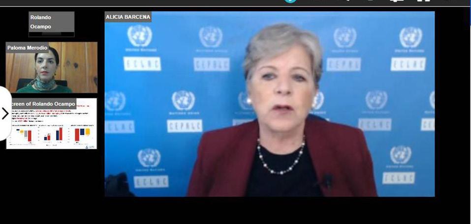
Photo: ECLAC Executive Secretary Alicia Barcena during CARIGEO (Source: @UNGGIMAmericas on Twitter)

Where development has historically been stymied by the paucity of critical data, geospatial technologies can assist the subregion by filling existing data gaps through innovative means...
gaps through innovative means, thereby establishing concrete evidence to guide appropriate development strategies. It is an excellent decision-making tool, as it effectively places in the hand of the user a powerful mechanism to organize, manage and analyse data in a manner which reveals patterns and linkages within the spatial dimension. The ability of these tools to visualize data also offers considerable potential for the region. It can be used in tracking, analysing and monitoring public policy while simultaneously informing on the implementation status of various development agendas, - Diane Quarless, Director ECLAC Caribbean thus providing quality analysis to guide possible and appropriate policy decisions.”
The CARIGEO initiative was designed to be aligned with the regional spatial data infrastructure objectives and global frameworks. These include the Integrated Geospatial Information Framework (IGIF), the Global Statistical Geospatial Framework (GSGF), and the Strategic Framework on Geospatial Information and Services for Disasters. All of these may ensure that projects to be implemented will be fit-forpurpose within the context of the Caribbean’s specific conditions.


