7 minute read
TECHNOLOGY TO THE RESCUE
TECHNOLOGY
TO THE RESCUE Satellite and app technology expand land use and connect hunting grounds.
Advertisement
BY EMILY DAILY
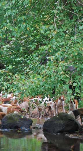
Opening up the territory provided the hunt with seven new water crossings, 14 miles of wooded trails, and 6,000 acres of prime territory.
IT HAPPENS. OVER THE YEARS, Old Dominion Hounds lost focus on the never-ending job of trail maintenance. Without realizing it, they had allowed their huntable country to contract. Last spring, they reached a tipping point, and something had to change. The Masters of ODH decided to reopen thousands of acres of land in their current northern Virginia territory. Inclement weather caused some trails to fall into disrepair. Other trails hadn’t been hunted in more than a decade. Reopening these trails and country would take countless hours of hard work. The country is the lifeblood of hunting, so the Masters made a concerted effort to revitalize and mark the hunt country.
Cynthia Brickley, one of the four new Masters of Old Dominion Hounds, assumed responsibility for the country and

landowners. Her goal was to open as much territory as possible for the upcoming season and rebuild landowner relations. “ODH had several miles of unused trails that had become overgrown,” explains Brickley. “In order to productively use the ODH equipment and the handful of volunteers we dubbed The Chainsaw Gang, we had to do advance scouting to find the trails and mark them with surveyor tape to create a track for the tractor and chainsaws to follow.”
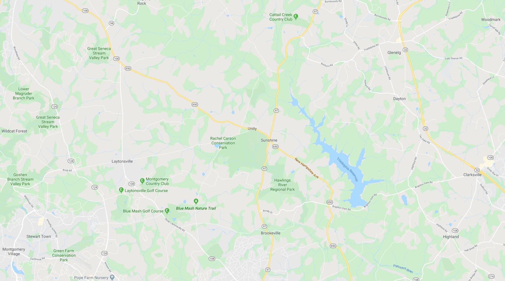
On multiple occasions, the group couldn’t find any property line markers. They didn’t know into whose land they might be crossing. “One of the volunteers, Jerry Dabrowski, pulled out his phone and brought up a Google Maps satellite image of the terrain we were traveling,” says Brickley. “Using those images, we were able to mark our exact location and, in some instances, view images of overgrown trails which pointed us in the correct direction. Comparing the Google Maps images to satellite images on the Fauquier County Tax Parcel Viewer app, we were able to track our progress, identifying landowners along the way.”
The county website also provided them with property boundaries and owner information. “Once we started the trail clearing, we compared photos from the website to our current location on Google Maps,” says Dabrowski. “This procedure enabled us to clear straight trails, avoid unnecessary clearing, and stay within our hunt boundaries.”
The process is not foolproof. “While working in Fauquier County, poor cell service was a limiting factor. Also, Rappahannock County doesn’t have digital satellite tax maps,” says Dabrowski.
Old Dominion Hounds used satellite technology when they re-opened thousands of acres of territory last year.

Brickley updated the hunt’s subscribers of The Chainsaw Gang’s progress via monthly newsletters. They loved watching their territory grow in virtual real-time. Since the opening of the 2019 season, they also get to analyze the hounds’ precise track across the terrain. “Opening the miles of trails has completely changed our ability to follow our hounds,” she says. “I’ve also posted on our Facebook group some of the tracks we’ve hunted along with satellite imagery showing our track. Using the Fauquier County system, you are able to mark the track of the hounds on any given run and measure, in miles, the track.”
The use of the GIS county system has also improved landowner relations. Knowing the landowners is the first step in establishing communication. It also helps club leadership meet with owners of nearby land that could become future fixtures.
18 | COVERTSIDE “I took the MFHA territory map and overlaid it onto the Fauquier County GIS system,” says Brickley. “From that, I was able to pull up all of the landowners in our territory. Using a split-screen, I’d pull up a parcel and transcribe that landowner’s name and mailing address. With that information, I built a comprehensive database of 100 percent of our landowners in Fauquier County. Using that database of addresses, we were able to send invitations to our Landowner Party to every landowner in our Fauquier County territory. In addition, we included a request for RSVP with electronic contact info.
“Mailing information to our landowners is a critical first step, but the key to cost-effective, real-time communication is the email or phone number for each landowner,” she continues. “We’ve been able to generate a much wider path of communication to our landowners by utilizing the county’s online interactive systems and cross-referencing them with our hunt territory.”
For other clubs looking to use this type of technology, the first step is to see what online GIS systems are available within their hunt territory. “The ability to track your location and cross-reference it to ownership is critical in knowing exactly where you are and where you’ve traveled, but also in being able to mark off territory that you have been asked not to cross,” explains Brickley. “With the satellite imagery, you can note water crossings, change in terrain, and woods when trying to instruct staff where not to travel. Being able to print and provide an exact satellite image of land that you may not cross resolves confusion and builds a stronger relationship with landowners.”

After all critical trails opened, the crew also worked on building jumps in the new area. As of November 2019, the progress was remarkable. “In total, we completed 21 jumps, reopened approximately 14 miles of wooded trails, and combined nearly 6,000 acres of prime territory.”
After an extensive reconnaissance mission, again using the GIS system, a backhoe was rented for a week to reopen or create seven water crossings, combining Rappahannock and Fauquier Counties. These projects also joined together an 8-mile circular run around one of their key fixtures. The project took months of hard labor and precision planning, and more clearing is planned for the future. But Brickley is thankful for the GPS technology that revolutionized the way she and her crew saw their territory and the potential it held. Meets that used to be hunted as islands are
GPS TECHNOLOGY IN THE HUNT FIELD


Scouting property lines and scoping out prospective trails aren’t the only reasons hunt members are using satellite technology. Many riders use GPS watches, cell phone apps, or other types of equipment to track their rides, showcasing the routes during a hunt, along with different speeds and elevations, and sharing the information on social media or their hunt’s websites and newsletters.
There are plenty of apps available for riders. Some of the most popular ones include Gaia, Equilab, or Map My Ride. Others prefer a Garmin watch, such as the Garmin Fenix 5X or the Garmin Forerunner, which can be pricey but won’t drain a phone’s battery during a long hunt like an app might.
A somewhat new multifunctional creation that is popular with eventing and endurance riders is the Hylofit, which tracks a horse’s heart rate, speed, and distance traveled. It’s specifically produced for equine fitness and shares real-time heart rate information with the rider, a useful tool when conditioning a horse for the season, or checking during a hunt to see if he’s appropriately fit. Hylofit stores that data so you can also track your horse’s progress over time. It also pairs with a Garmin or Apple Watch. Warning, though: Before posting data from your hunt’s rides, always check in with the Masters to make sure they’re comfortable with sharing the information publicly. If a rider were to accidentally wander onto a landowner’s property outside the hunt’s territory, as evidenced by the map of the ride, it could create trouble for the hunt and might even cost the club a fixture.
now hunted as part of contiguous territory. Contiguous, maintained land, after all, provides more than just good sport. It keeps horses, hounds, and riders together and safe. It limits uncertainty and maximizes room to run.
Old Dominion leadership hopes the new land will yield new perspective and game opportunities to keep hounds and horses sharp. Without the revelation of GPS technology, Brickley says, “I can’t begin to imagine how we could have located exact property and gained appropriate permission in all instances to proceed with reopening our territory.”
Emily Daily writes for Covertside and manages the e-Covertside newsletter. She grew up hunting in Virginia and is now based in Charleston, South Carolina.


