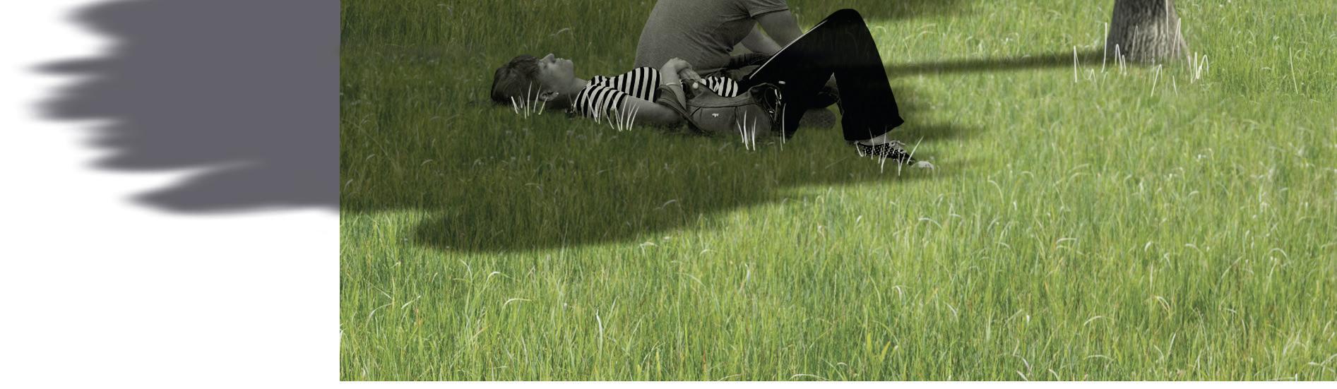
landscape architecture PORTFOLIO
Eliška Vraspírová

Eliška Vraspírová
2020 park of Joy Adams 2021 landscape planning project workshop 2021 water in the city in the context of climate change 2021 main avenue in Ostrava-Poruba 2022 new chance for the village affected by tornado 2022 hospital promenade in Ostrava 2022 Hrebec - forgotten region ˇ ˇ
I can describe myself as an extrovert person, who is used to get things done in the best possible way and is not afraid to overcome challenges. These abilities can be useful in landscape architecture, which I have chosen as my profession. This field combines 2 important pillars in my life - nature and art. Gradually it has grown into a life mission, which I take 100% seriously in every project. No matter if I design a single family garden or a part of a city – every place has its own story that I enjoy finding and supporting!
After graduating from the Grammar school in Svitavy, I chose to study at the Mendel University in Brno, at the Faculty of Horticulture in Lednice, which remarkable cultural landscape is part of UNESCO World Heritage List. I chose this place mainly because of the tradition and also to follow in my grandfather‘s footsteps.
I finished bachelor‘s studies (2020) with a thesis Water in the city in the context of climate change, which focuses on the suburban landscape of my hometown and the possibilities of water retention at different levels (a private plot as well as a city park). For this work I received the Josef Vavroušek Prize, which motivated me to further promote the project. I am currently completing the Master‘s degree with a semester stop in Vienna, to broaden my horizons.
In addition to my studies, I am also active as an ambassador for landscape architecture, a member of the Student Association LED, and a senator in the student chamber of Faculty and University Senate.
I have been volunteering as an instructor at children‘s camps since I was 16 years old. Furthermore I gained some waitress skills while providing catering services within the Smetanova Litomyšl music festival. These experience helps me a lot in communicating with people.
Gaining professional experience did not start with designing, but with establishing and maintenance of private and public greenery. After obtaining knowledge „from the field“, I gradually moved more towards designing private gardens and green areas in public spaces.
Considering technical skills I am able to use Adobe Photoshop, Illustrator and InDesign, AUTOCAD, SketchUp, LUMION, ArcMap or QGIS and MS Office.
Movement in the form of dancing, running, hiking, climbing and cross-country skiing. Relaxation with reading and creative activities (drawing, watercolour painting, bouquet tying, ...)
Travelling – latest experience in Austria, Switzerland, Italy, Netherlands, Ireland, … contact +420 734 516 137 elis.vraspirova@gmail.com
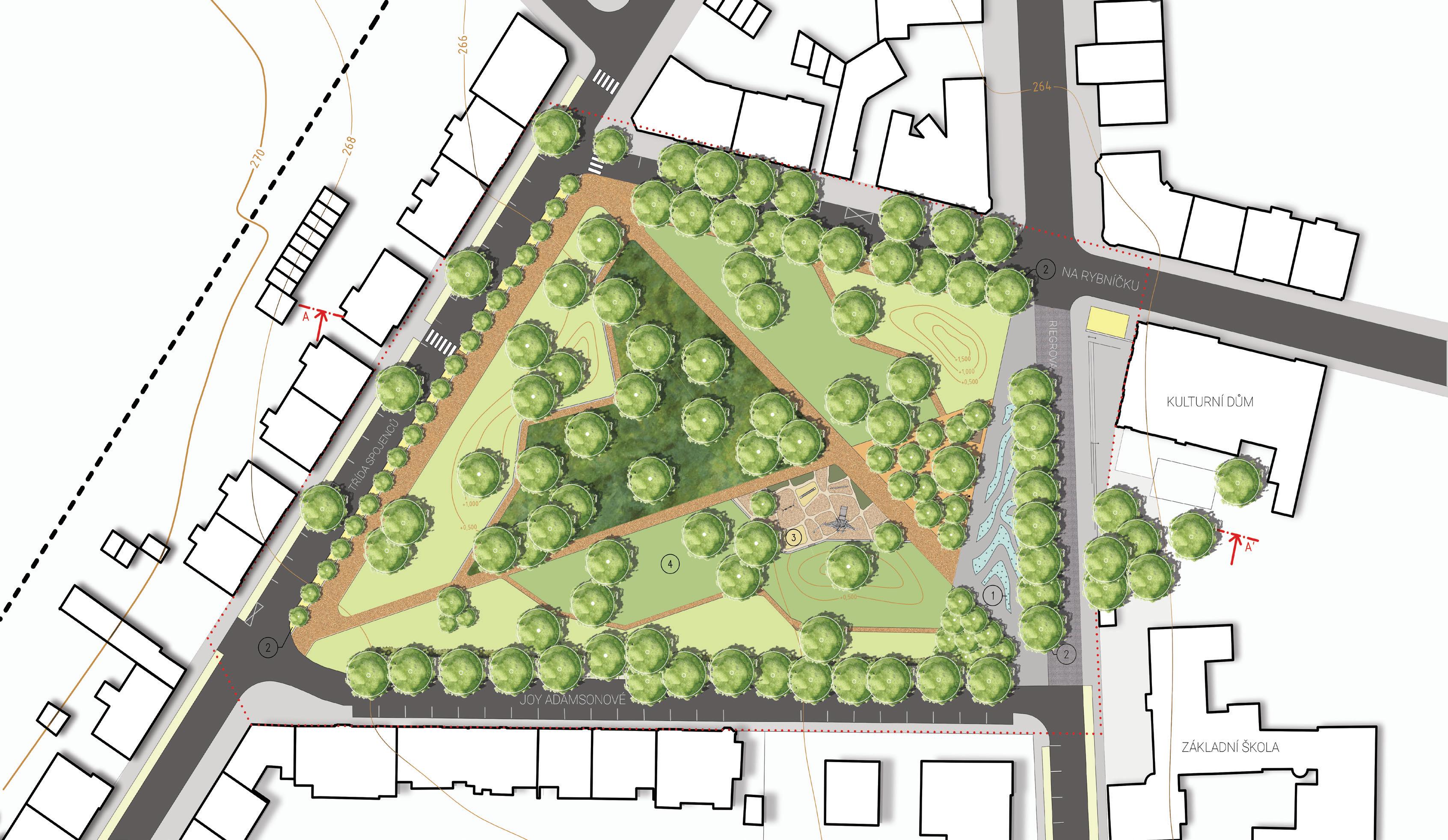
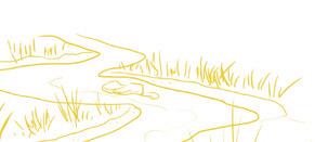
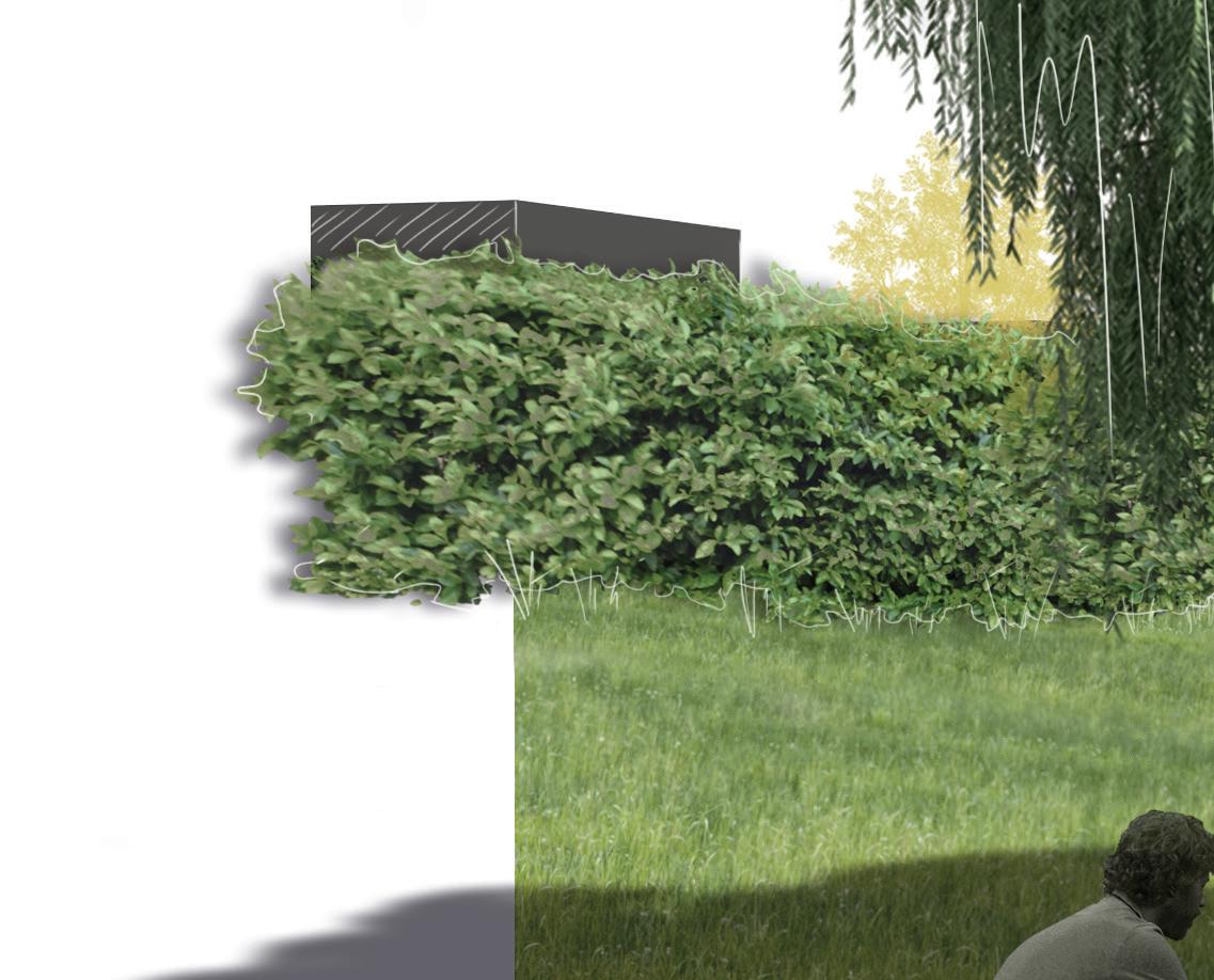
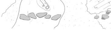
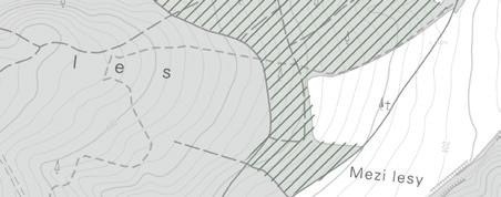
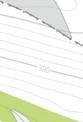
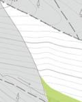
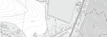
Joy Adams was authoress, painter and animal protector, who spent a long part of her life in Africa and became famous thanks to her books about lioness Elsa. Joy was born in Opava /Czech Republic/, where there is a park, that should have been redesigned and named after her.
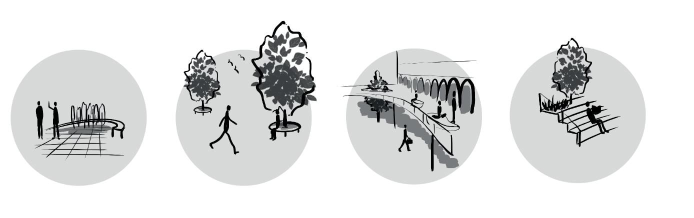
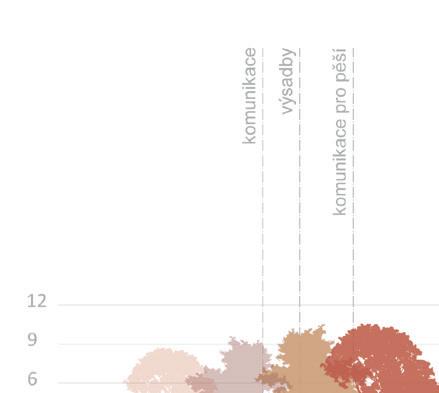
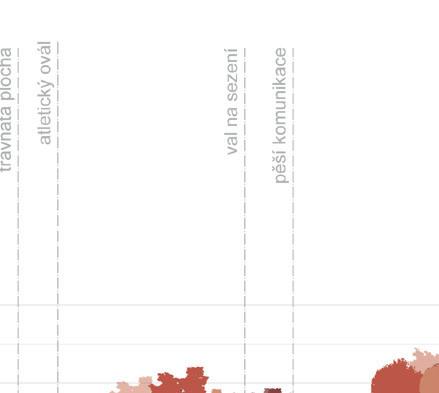
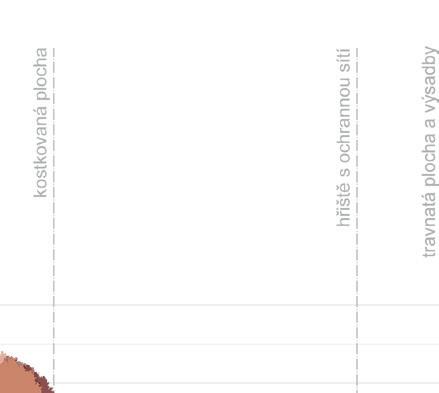
The main elements of the park are paths and vegetation. The proposal adapt path tracing to most mature trees. By adding african motives a road network is created, divided hierarchically according to the degree of usability. The main routes are straight and wide, while the side roads are narrower, winding and offer interesting views.
In order to shield the peripheral parts of the space, three 1.5 m high ridges were created. The largest is located in the southern part of the park, separating the disturbing road. The other two ridges are also a barrier against noise and create a more intimate environment, which is suitable for sitting or a playground with African motives.
This proposal was made as a school work in 2020, under the supervisor doc. Ing. Zuzana Ambrožová, Ph.D., during pandemic.

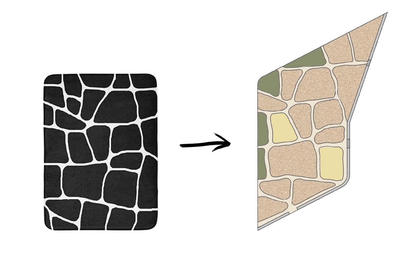
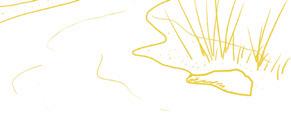
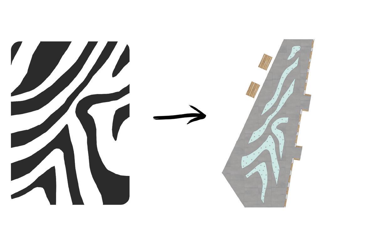 African motives in water element and playground
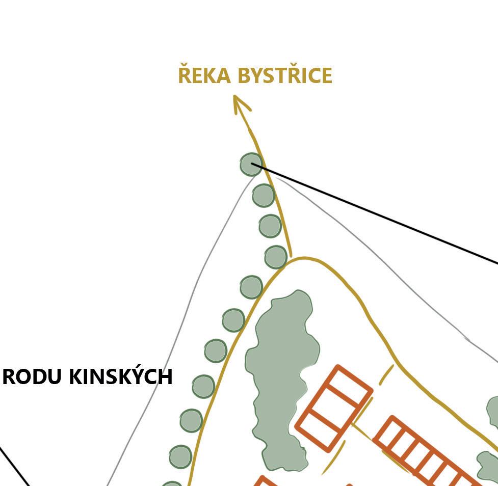
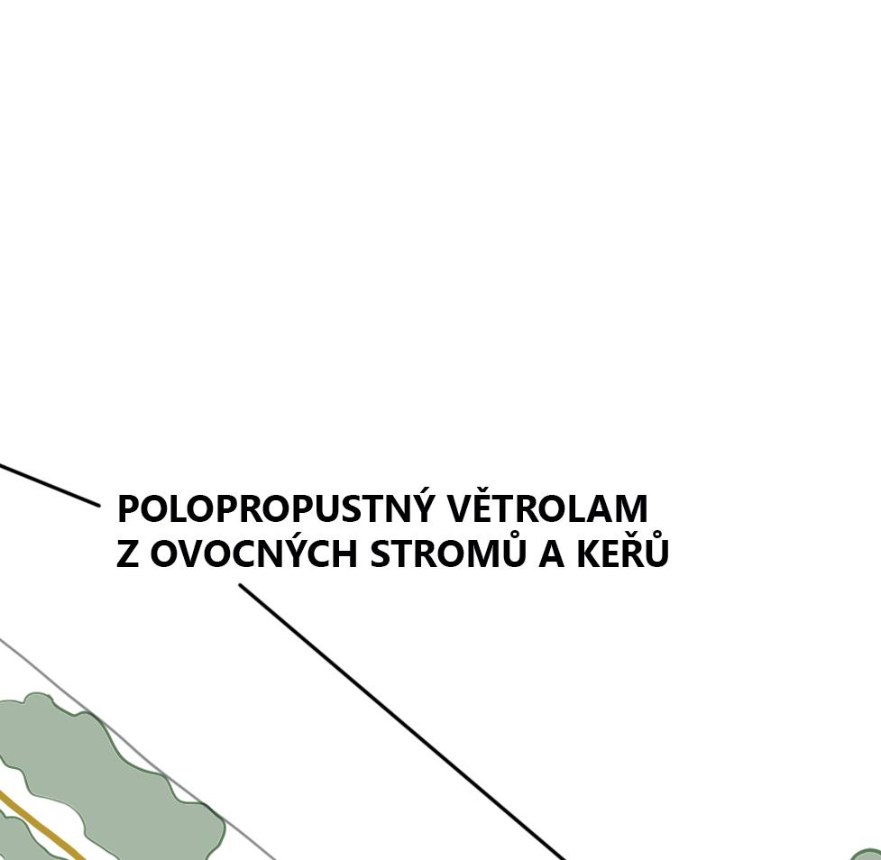
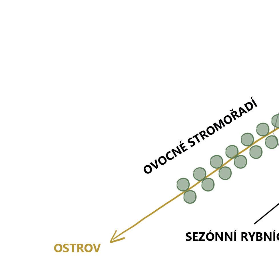
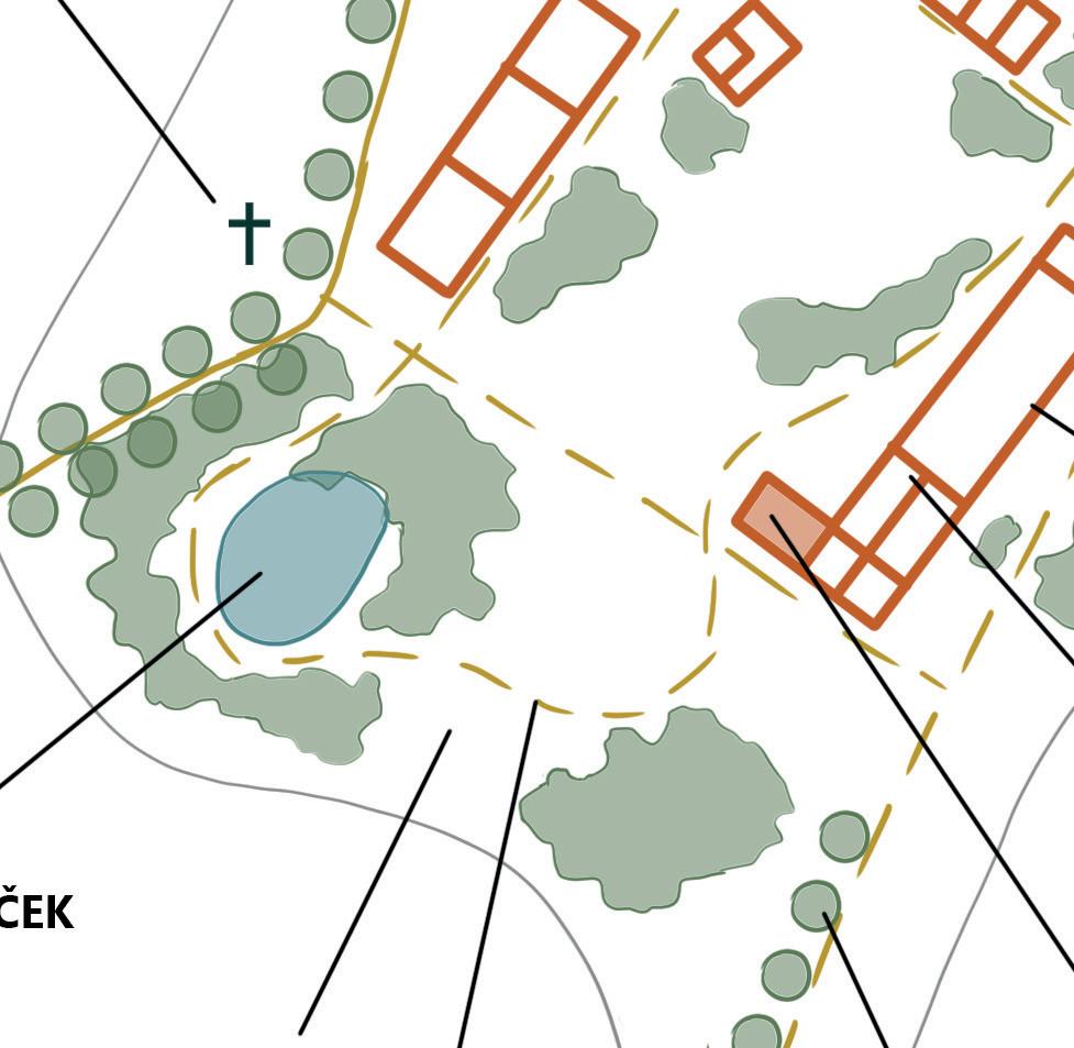
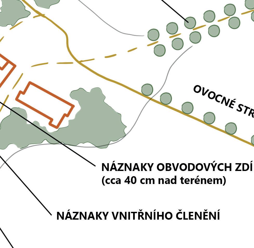
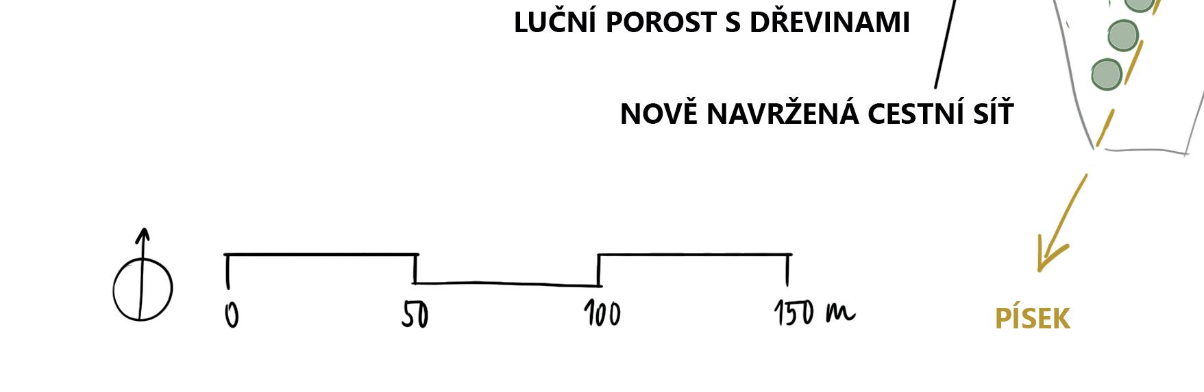
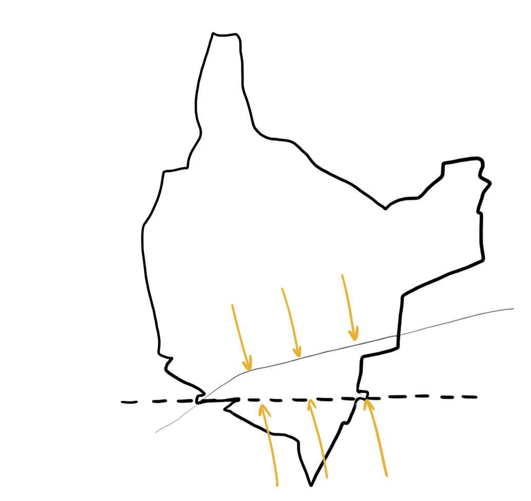
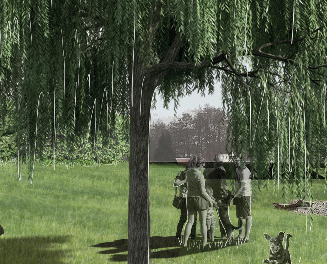
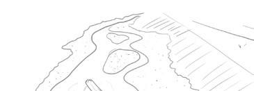
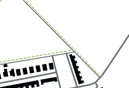
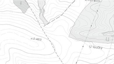
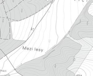
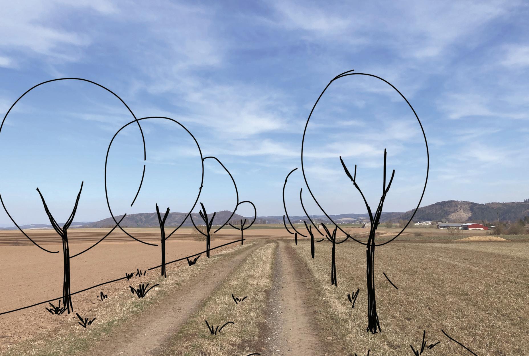
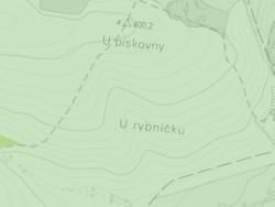
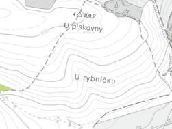
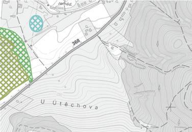
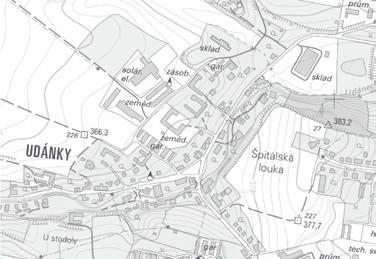
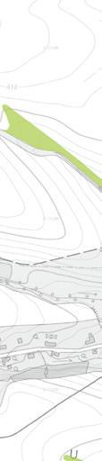
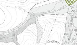
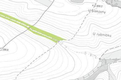
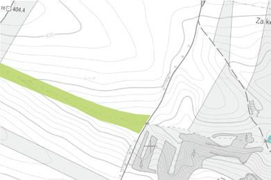
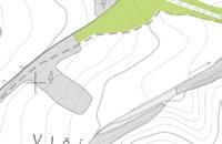
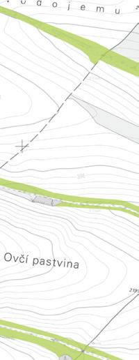
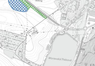
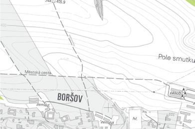
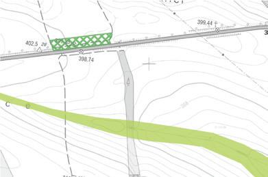
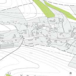
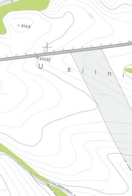
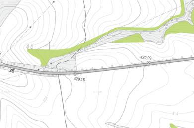
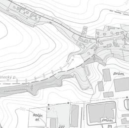
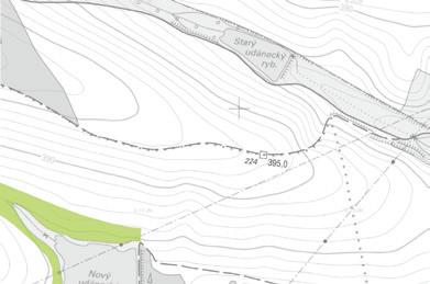
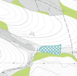
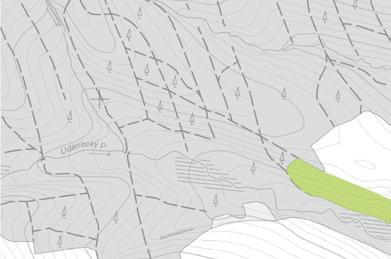
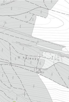
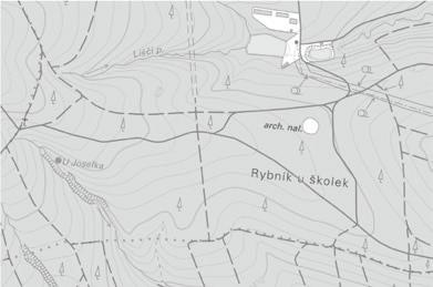
The village of Písek near Chlumec nad Cidlinou /Czech Republic/ is located in the floodplain area, which determines the character of the landscape as well as a strong historical background. The keywords for this specific site were: flat terrain, gravel-sandy soils, quarries, high groundwater level and former pond area.
The main objective was an overall optimalisation of the landscape by revitalisation of the agricultural landscape and regeneration of the landscape after quarrying.
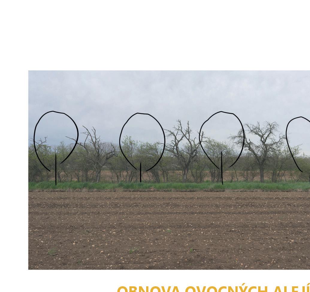
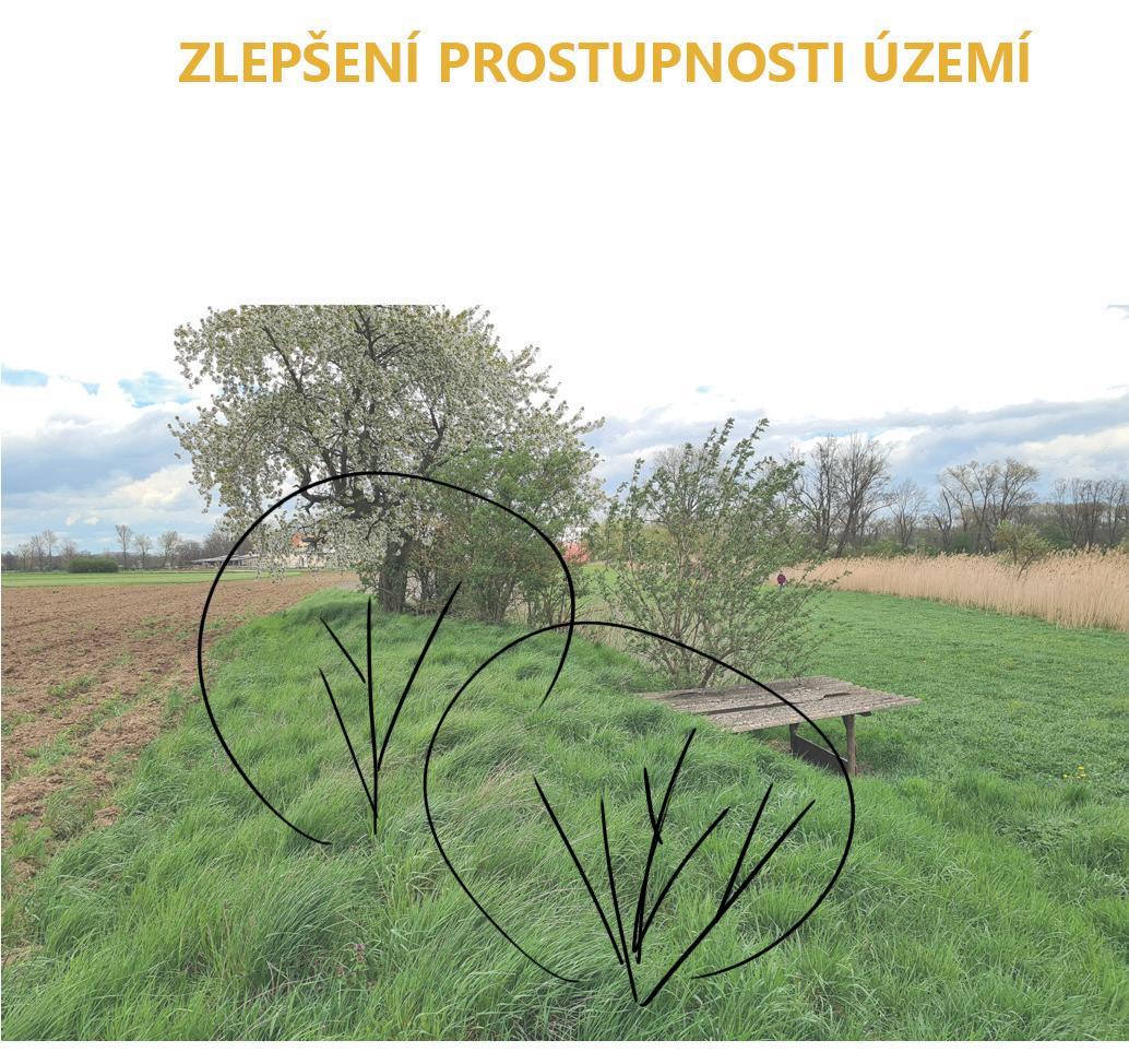
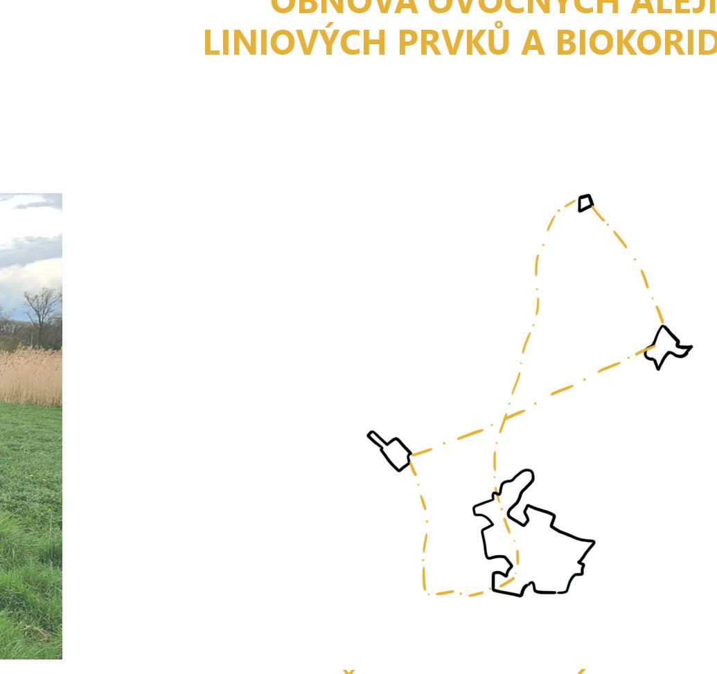
New design ideas included: improving the permeability of the area; highlighting historical traces in the landscape; revitalization of watercourses; reclamation of gravel-sand pits; application of anti-erosion linear elements; rezoning of large areas of fields; adjustment of management on wetland sites and restoration of alleys and fruit trees. Furthermore drawing people into the landscape through the placement of new walking points that serve as an attractor for recreation, but at the same time reminding us of the historical context (such as meeting place near former dike of the pond)...
This workshop organised in the last semester of bachelor studies took 3 weeks of intense work, which was finally presented to the municipality.


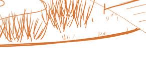
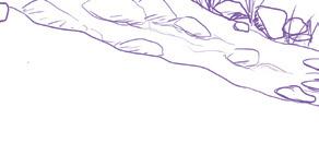
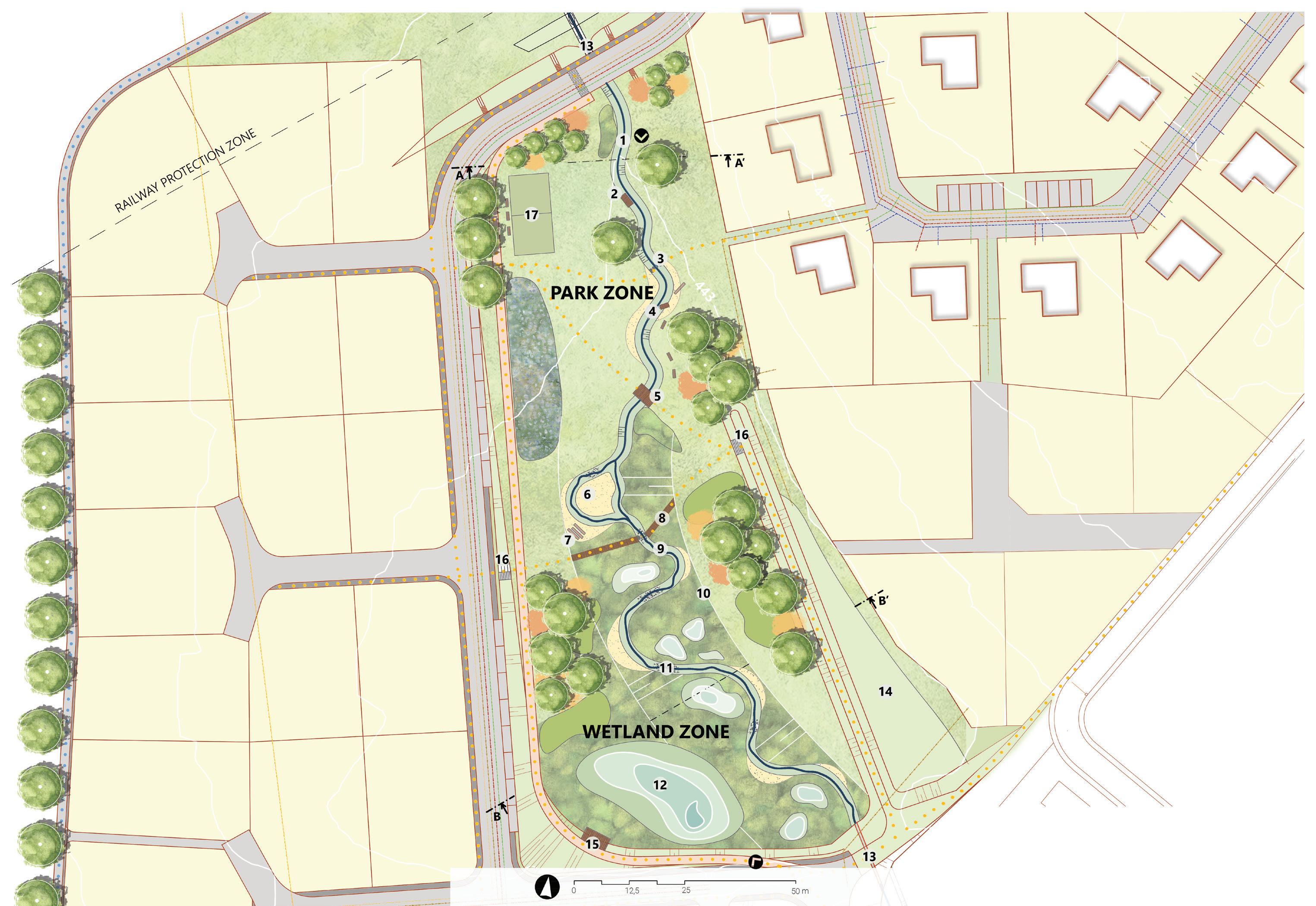
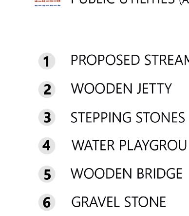
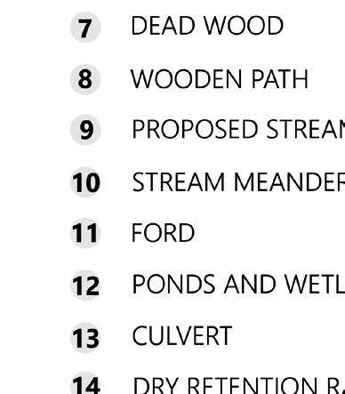
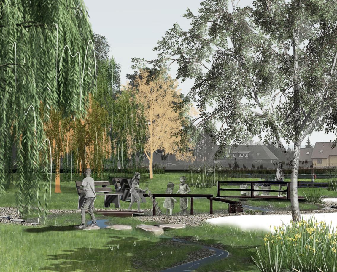
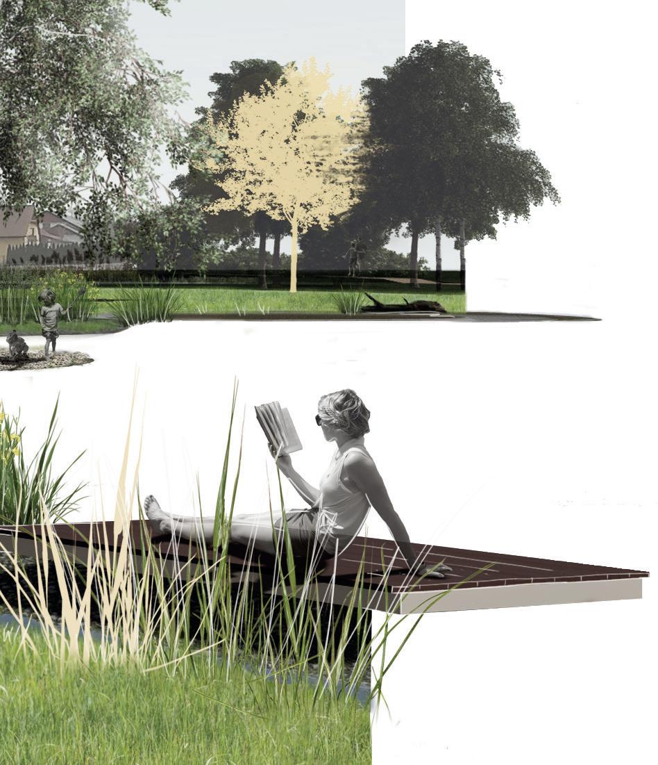
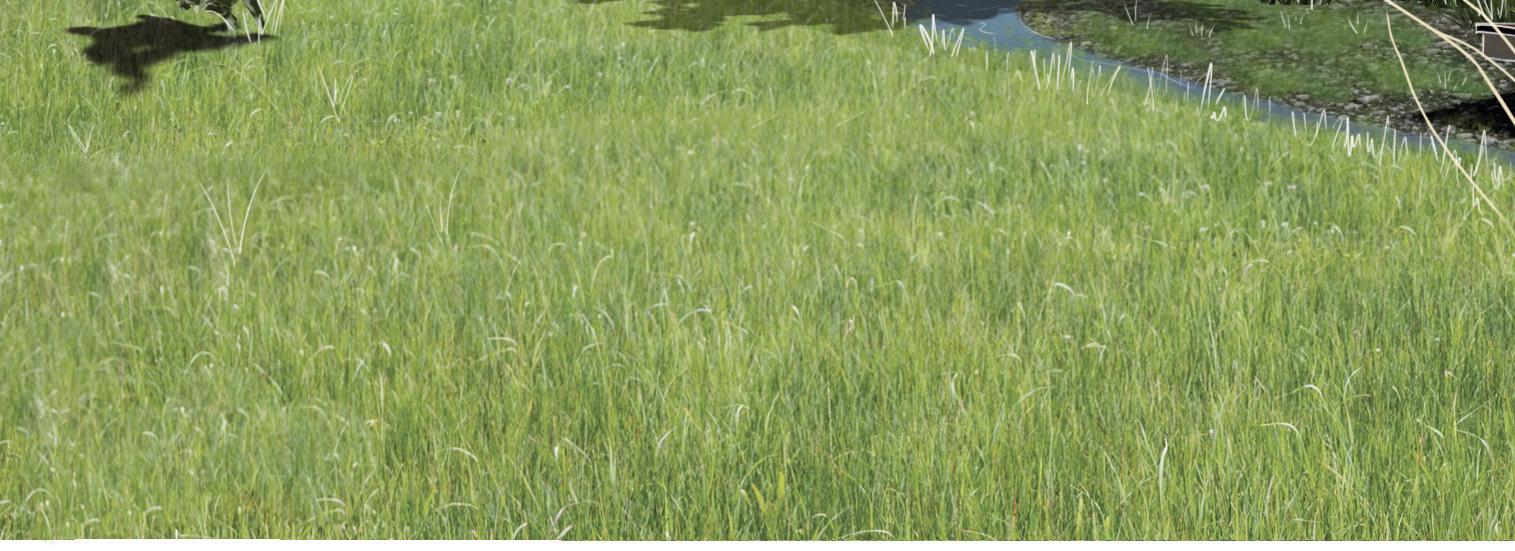
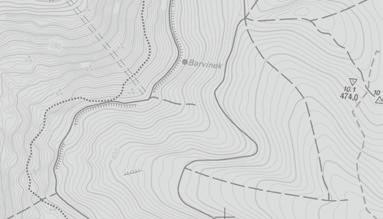
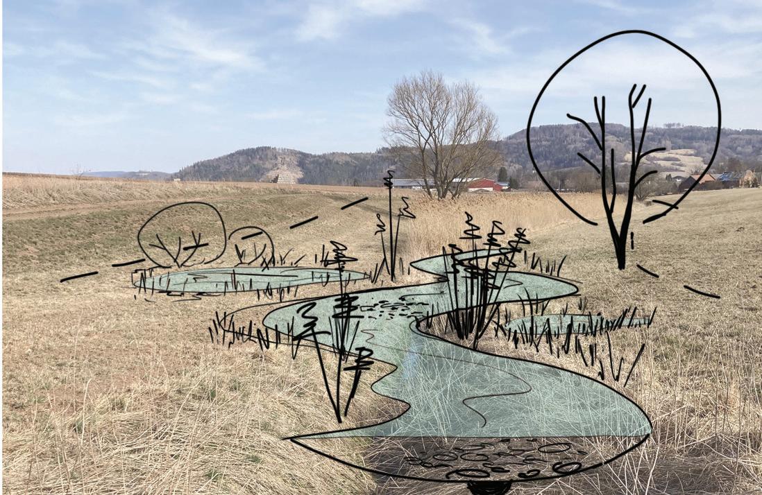
The main message of this project (part of the bachelor thesis) is to realize that in the context of climate change, even smaller towns can be adapted by using nature-friendly modifications of watercourses and integration of the elements of blue and green infrastructure
The aim is also to show an importance of natural landscape, where the water can spill before it affects the urban area. Such a place can also become a recreation area, which importance is unquestionable, as it was seen during pandemic.
The idea of the design is to create more effective retention system with recreation function, as well as a function of a natural biotop.
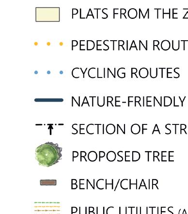
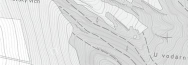
• delay of water outflow from the territory (economic aspect)
- nature-friendly watercourse
- possibility of overflow
• promotion of the natural element (ecological aspect)
- supporting habitat function - design of accompanying vegetation
• use of recreational potential (social aspect)
- definition of functional zones along the watercourse
- create a walking circuit - design of civic amenities


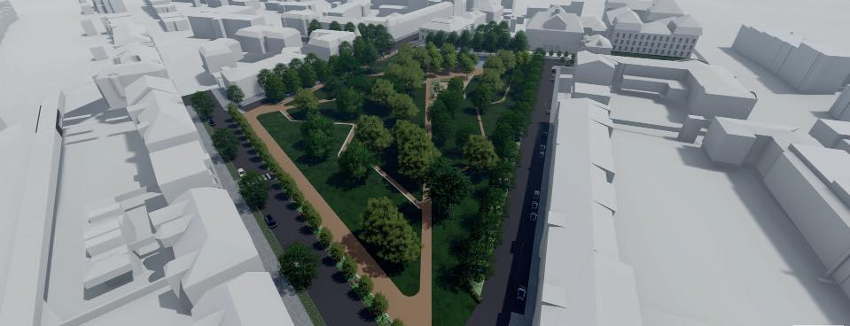
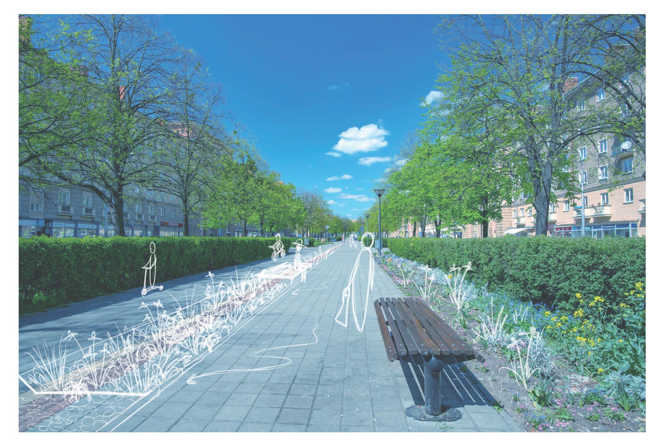
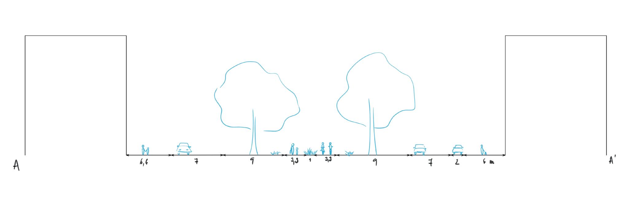
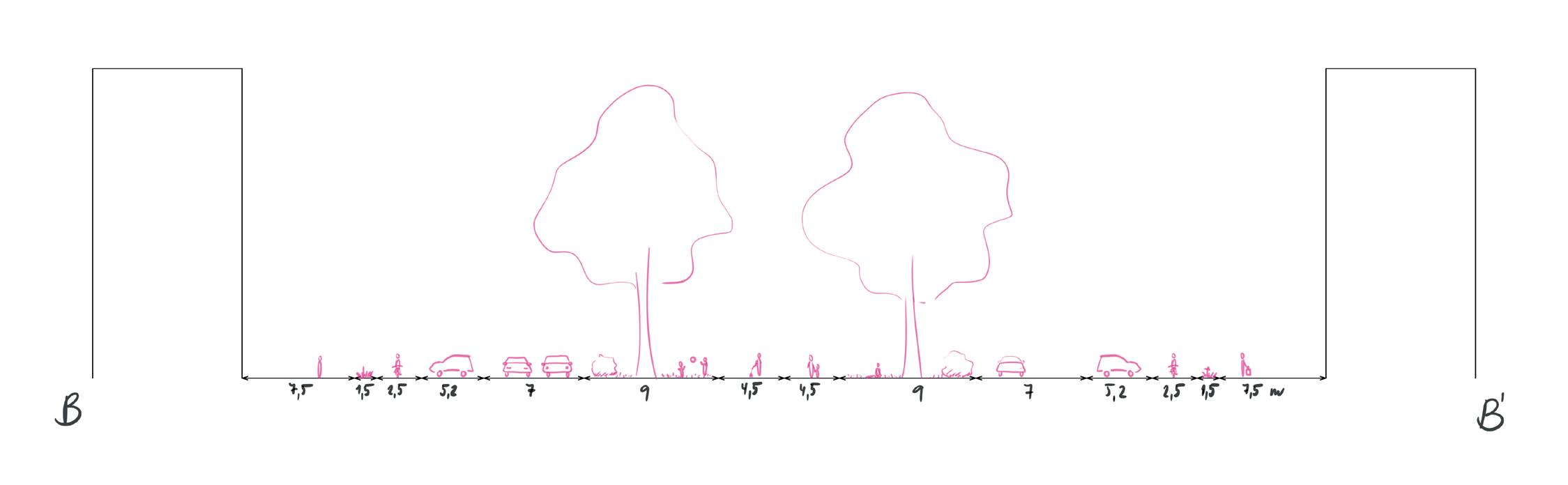
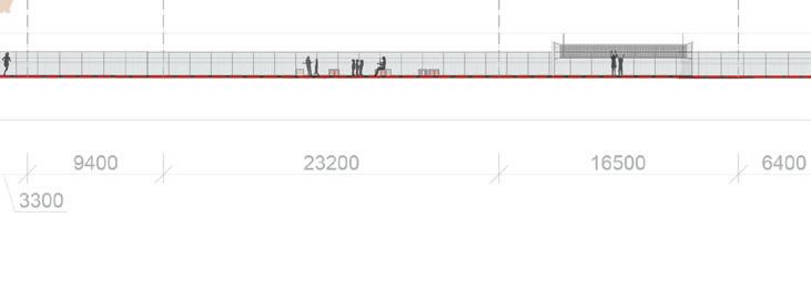
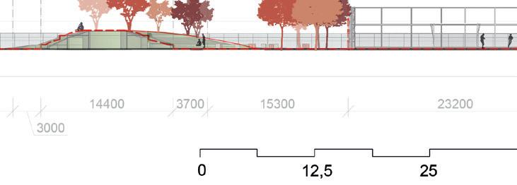
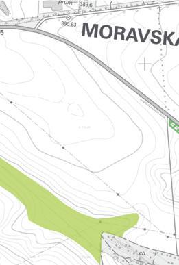
The main avenue (Hlavní trída) is a representative street of citywide importance, about 60 metres wide, surrounded by buildings of various architectural styles. The upper part of the avenue is in the spirit of socialist realism (sorela), while the lower part has more modern character. The main avenue has many functions. Above all, it is the heart of Poruba district and a meeting place for residents. It also serves as a traffic corridor for motor vehicles and public transport as well as for cyclists and pedestrians. Last but not least, it is a green axis, characterised in particular by an alley of lime trees. It is the green infrastructure that was the focus of this work.
New design ideas included:
- design of a comprehensive green space concept
- increased maintenance corresponding to the representativeness of the space
- revitalization of flower beds and their addition
- creation of safe relaxation areas
- incorporation of water features // connection to blue infrastructure
- segmenting traffic with green infrastructure // increasing traffic safety
This conceptual design was made during International Summer School of Architecture in Ostrava, under the title POST CRISIS ARCHITECTURE.
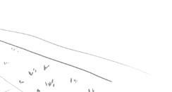
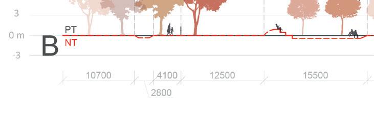
sketch and section through the main avenue in upper part
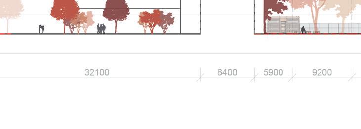
sketch and section through the main avenue in lower part
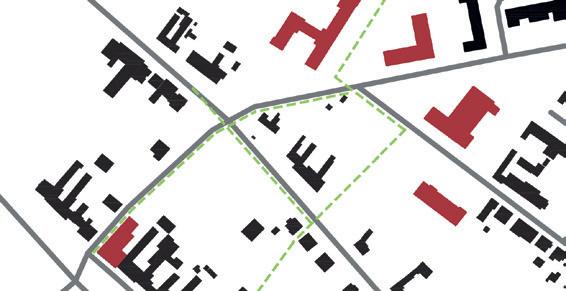
In June 2021 south Moravia /Czech Republic/ was hit by a tornado. The damage was enormous - not only the buildings were destroyed but also the public spaces and vegetation.
Our university was ready to help the residents of the affected villages. One of them is the village of Moravská Nová Ves, where our group designed new public spaces as part of the urban planning course.
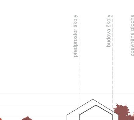
The design focuses on connecting the front areas of civic amenity buildings and the adjacent streets to ensure the needs and requirements of all potential users of different ages. The resulting green path is further connected to the to the surrounding countryside, where it extends into the landscape in the form of alleys. The design solution thus offers better accessibility across the area surrounded by vegetation and at the same time improves the character of the individual public spaces and ensures safety.
In addition, the interconnectedness of the different parts can also be seen in the cube motive that appears in all the proposed in all parts, whether in the form of a play or seating element or in the pattern of the paving.


 visualisation of the beggining of the green path
section
visualisation of the school backyard
visualisation of the beggining of the green path
section
visualisation of the school backyard
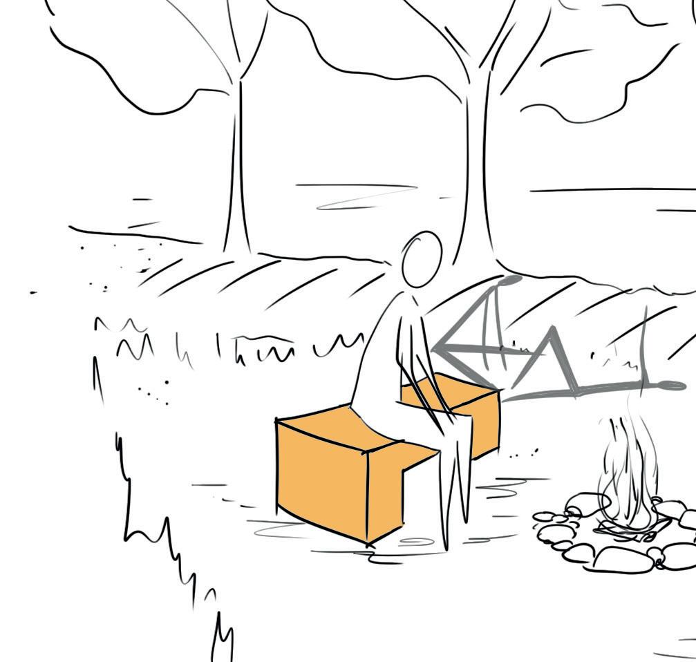
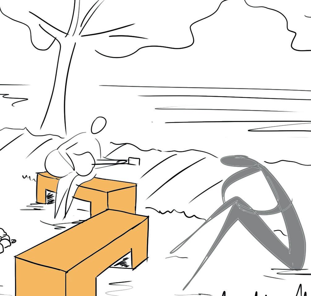
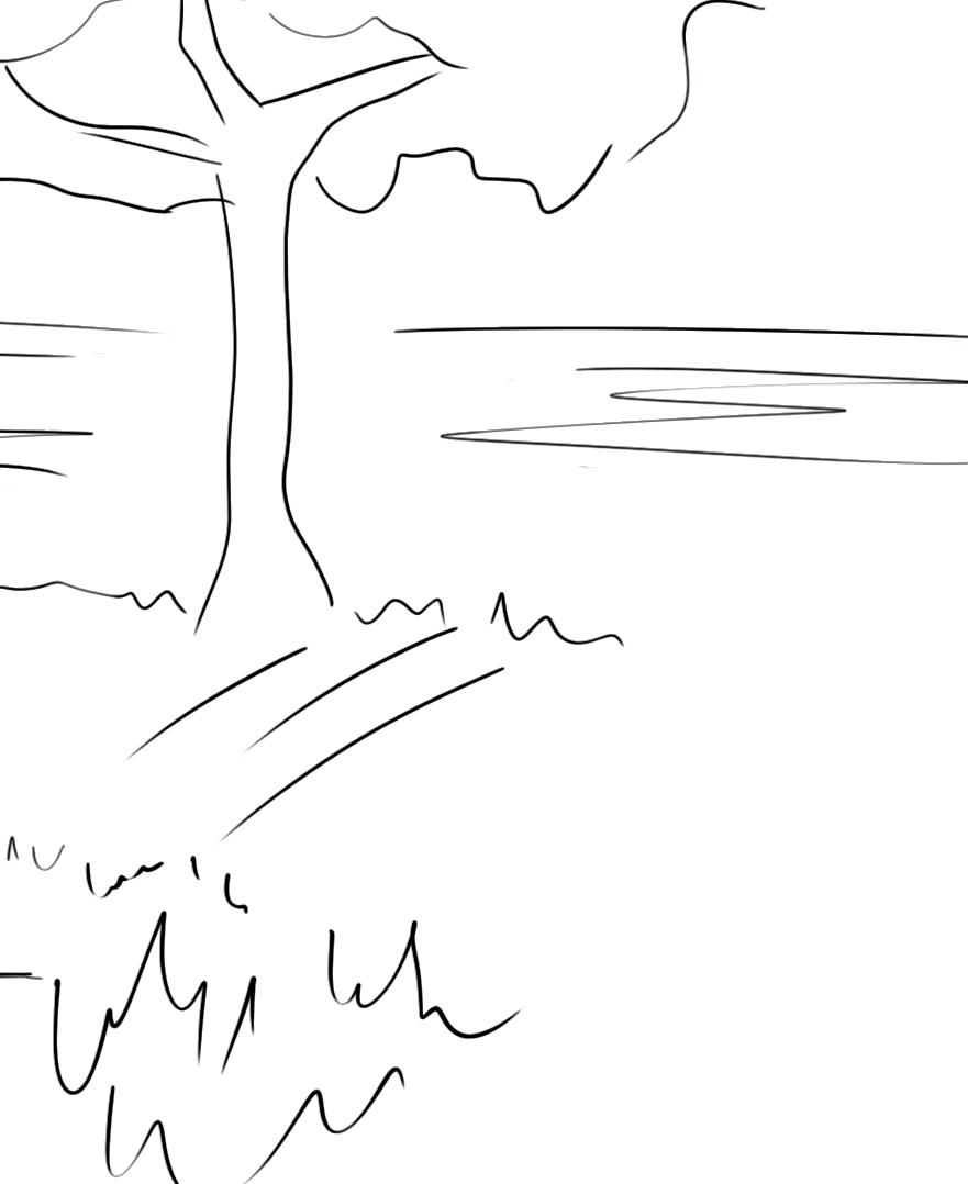
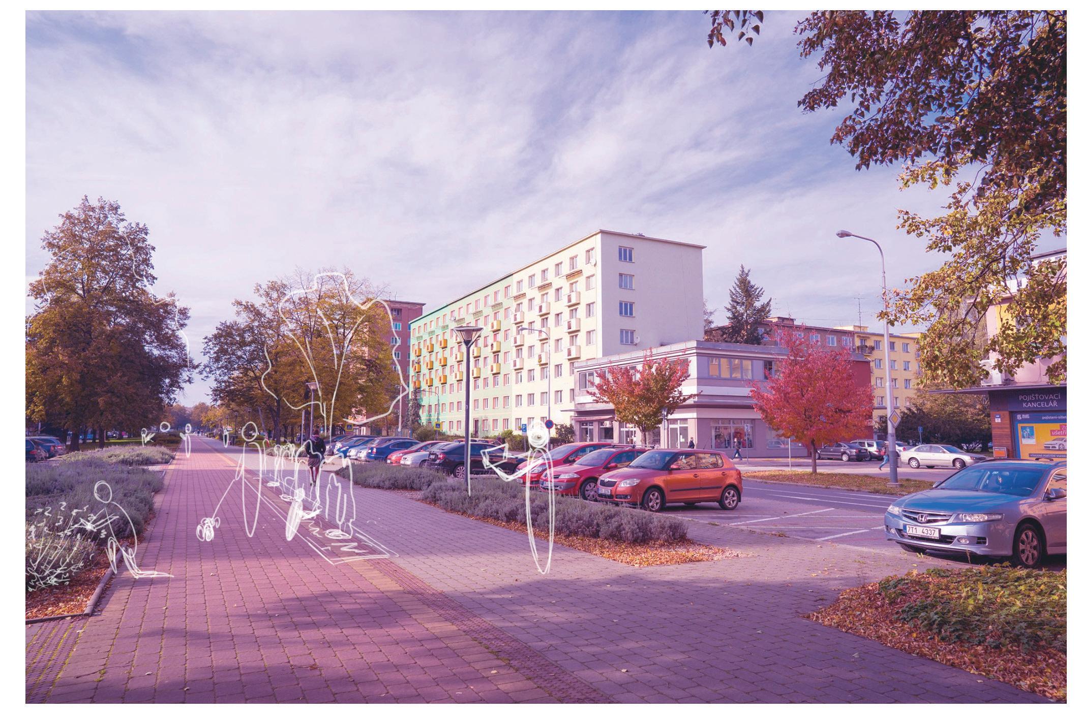
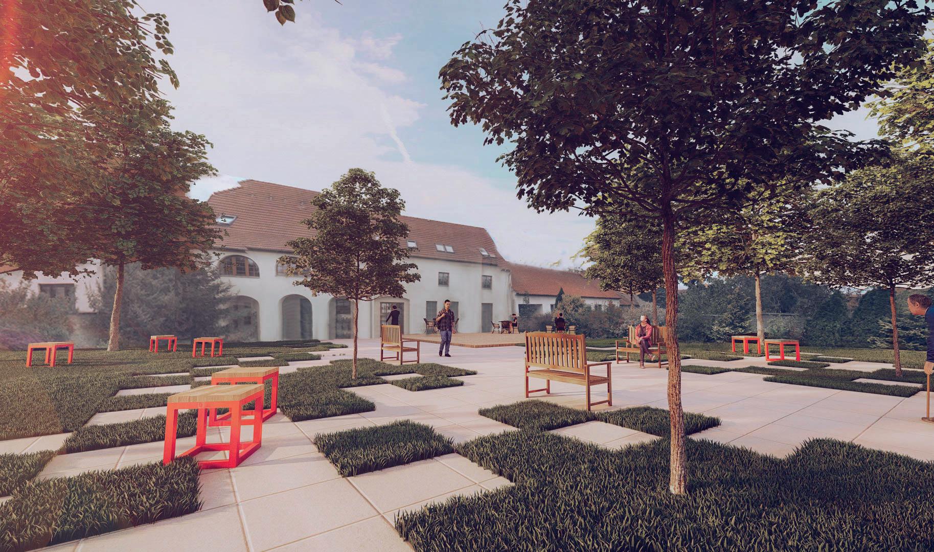
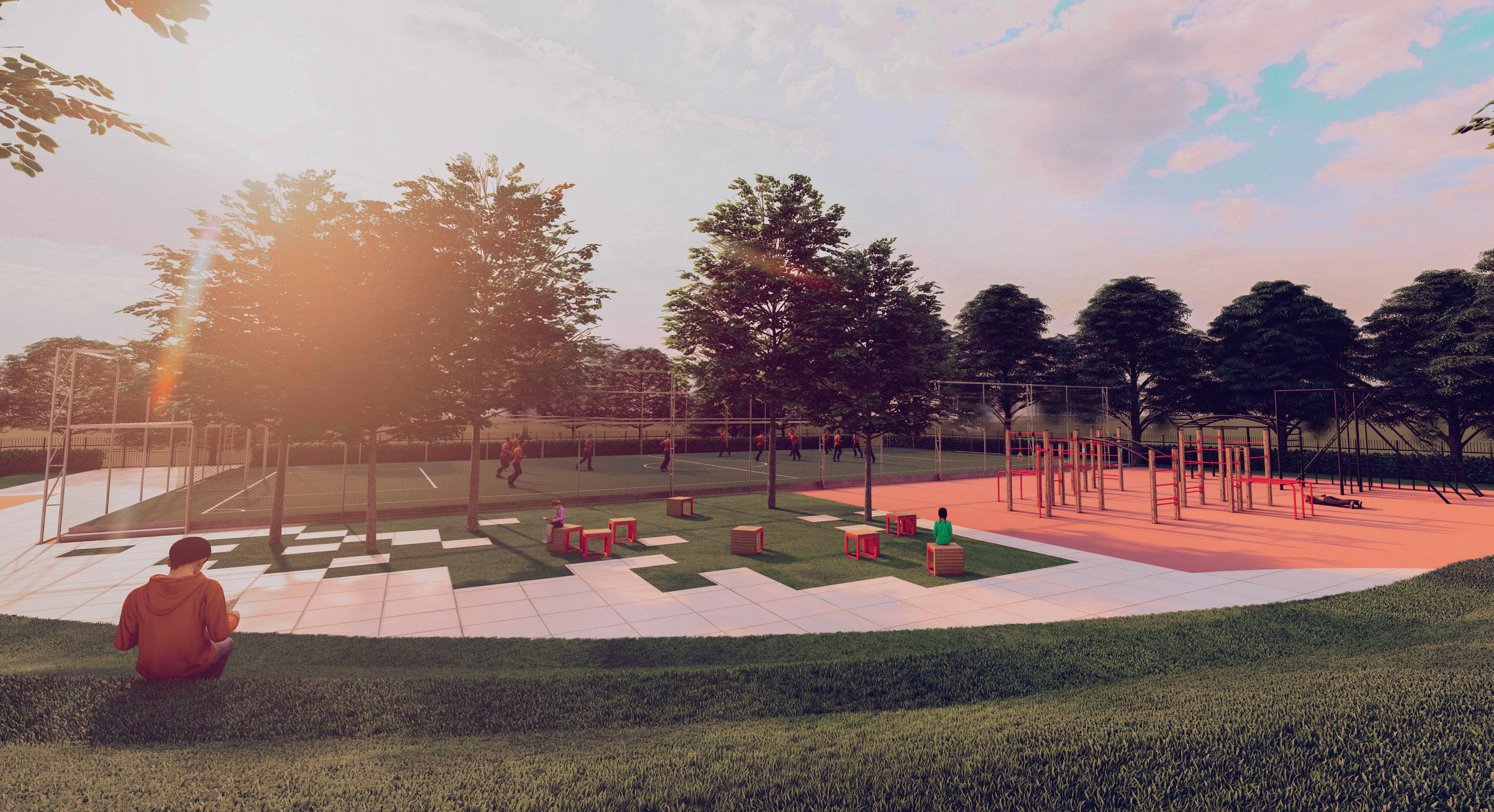
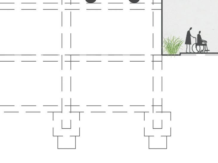
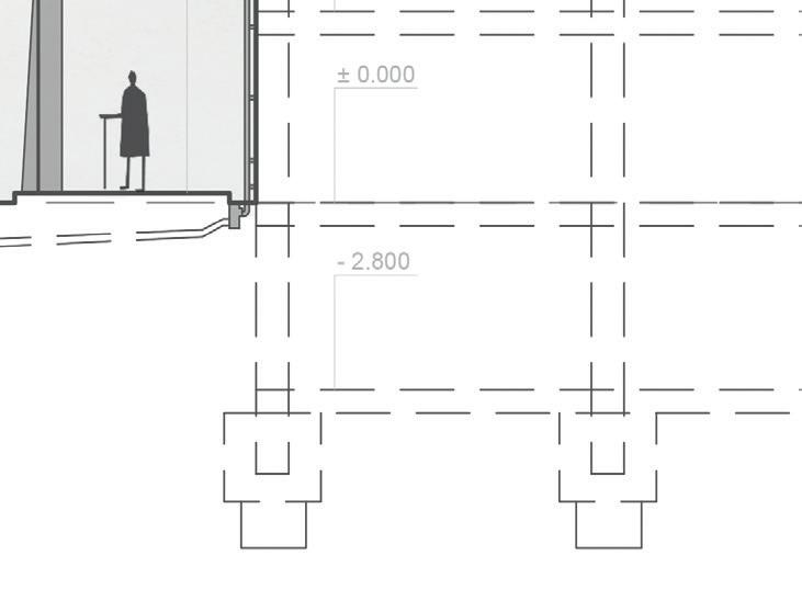
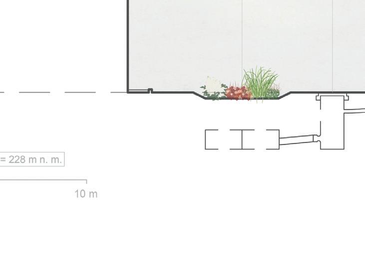
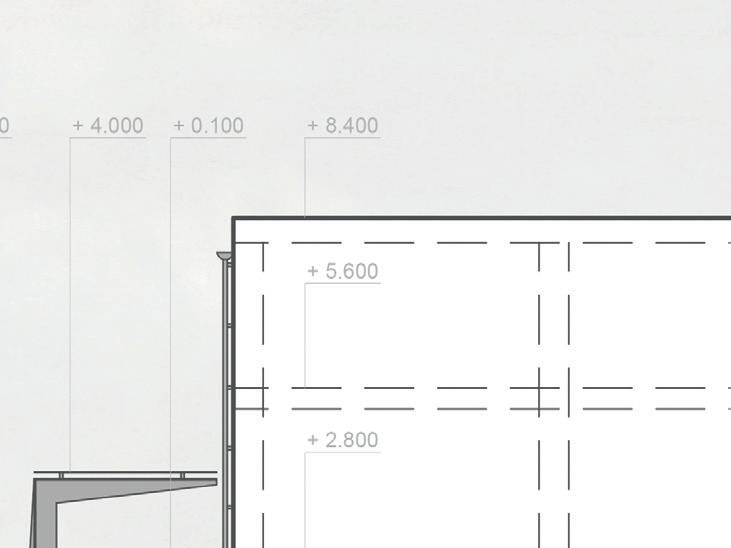
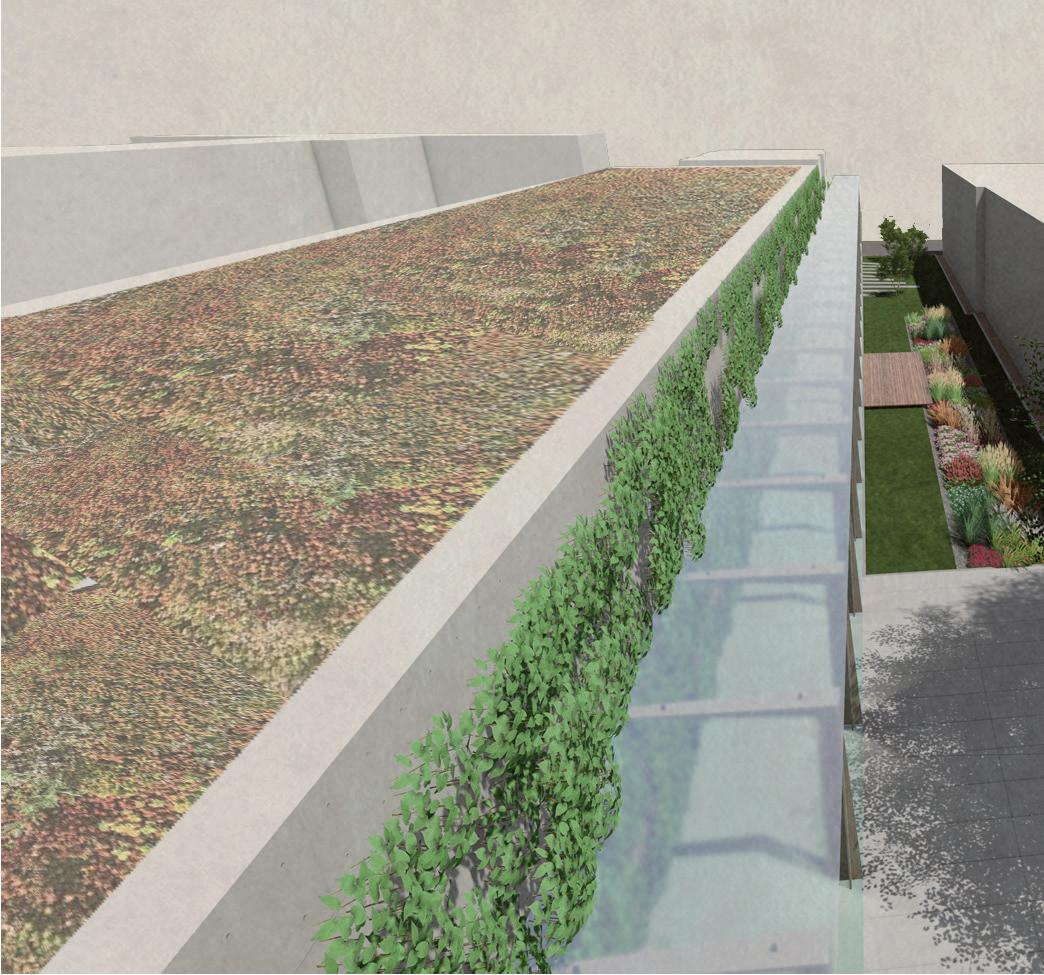
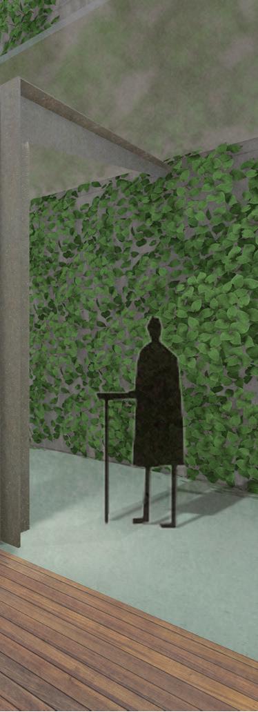
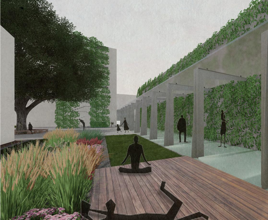
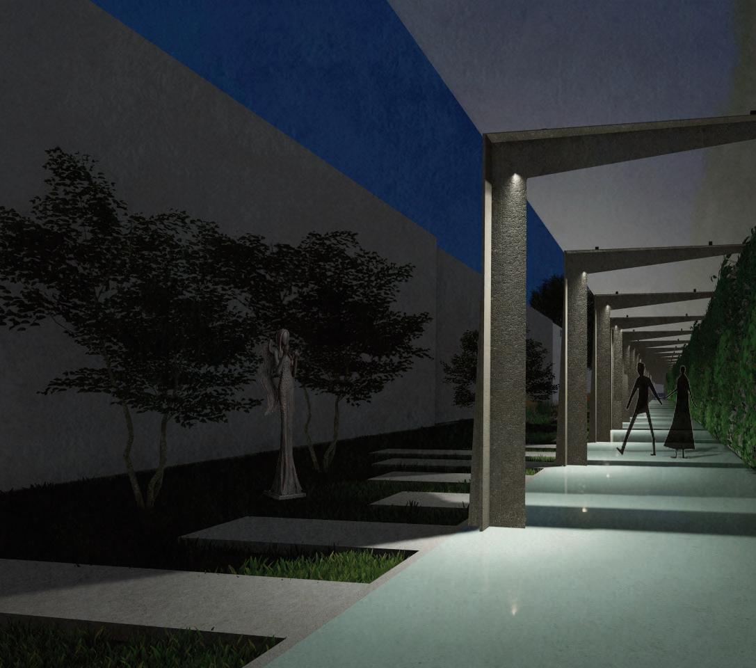
The proposal aims to create more pleasant hospital area, which is safe and pedestrian-friendly. The whole area was divided into 3 parts, which the students worked out in detail and then connected into one project.
The following points were essential for the design of the hospital surroundings: allowing access to vegetation and other forms of distraction; possibility of choice; arrangements that encourage gathering and social contact; providing privacy; opportunities for exercise and movement; accessibility; comfort; familiarity; quiet; visibility (from indoors) and the presence of positive art.
Looking at the new hospital promenade, it combines these principles and offer visitors and patients a programme that allows them to focus their attention on different scenes - exploring the sculpture, examining the rain bed or contemplating in the shade of a bench under an existing beech tree.
section


view of the designed space from the fire staircase

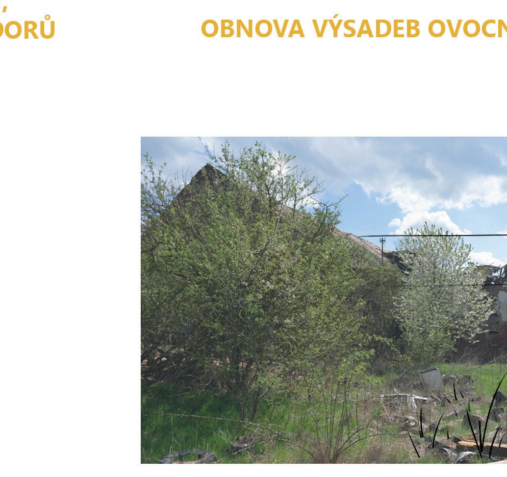
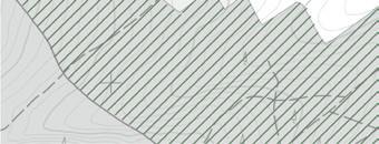
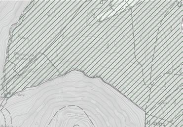
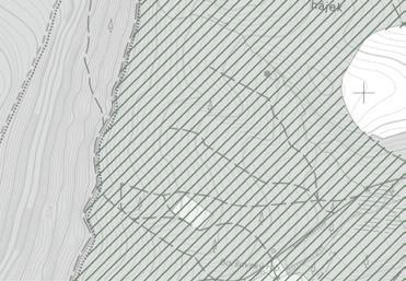
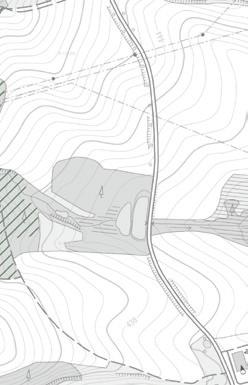
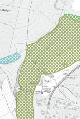
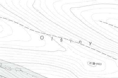
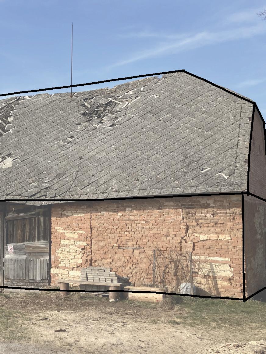
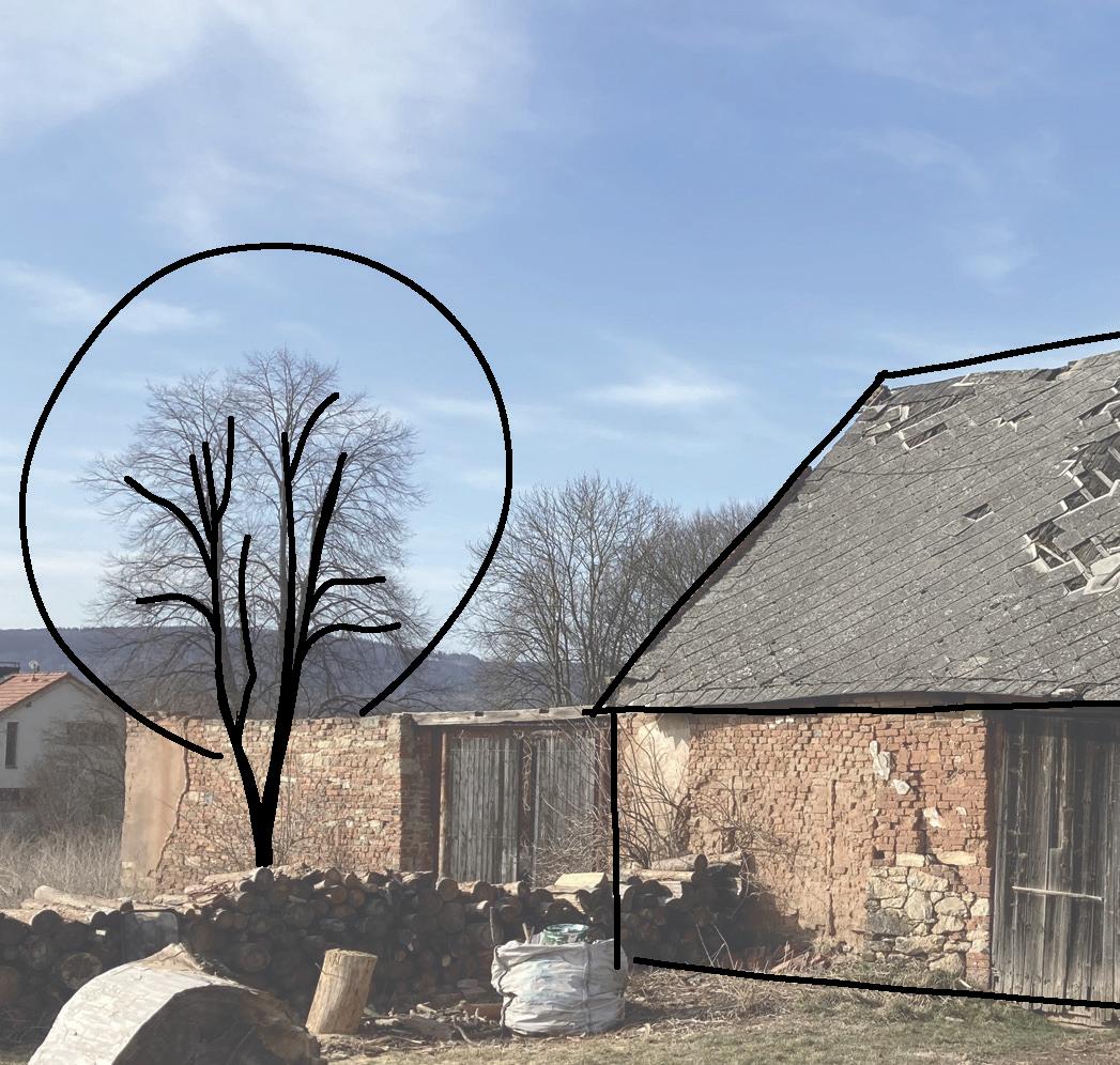
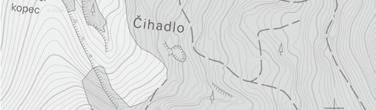
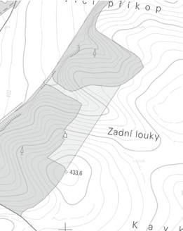
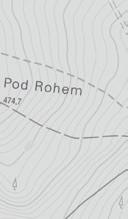
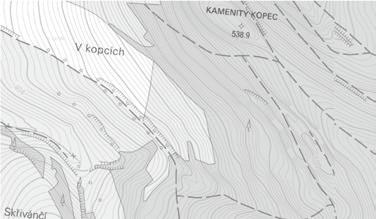
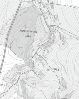
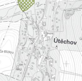
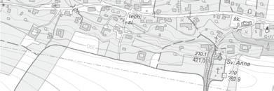
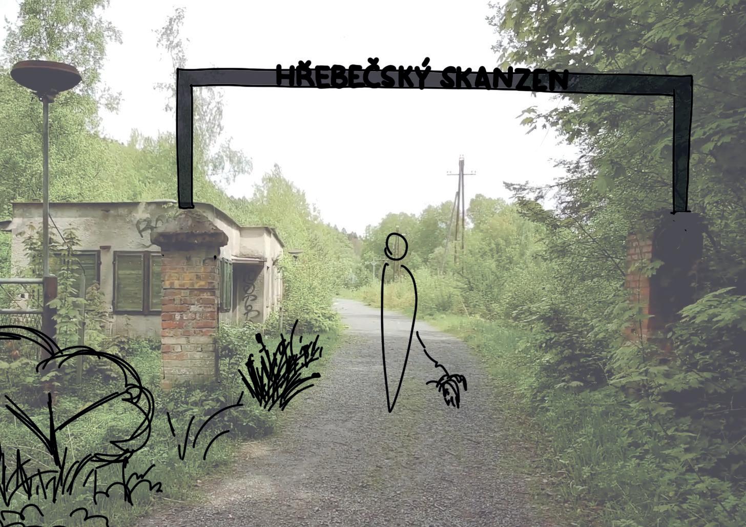
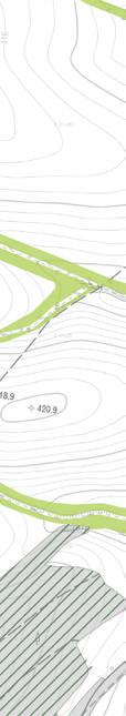
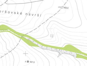
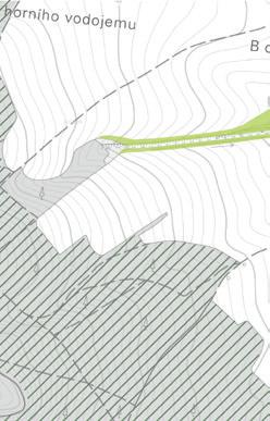
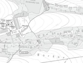
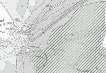
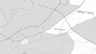
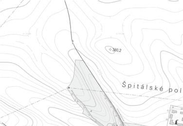
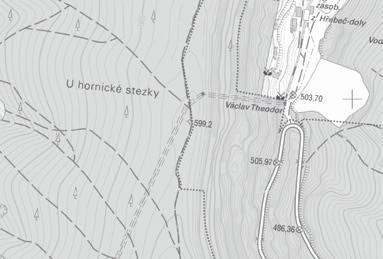
Since the 20th century the Hrebec region has been known as Schönhengstgau - from the German schön (beautiful) and hengst (stallion). It was a closed linguistic area with a predominantly German population, which shaped the identity of the region through customs and traditions. Unfortunately, many of these disappeared with the expulsion and the Hrebec region has since fallen into oblivion.
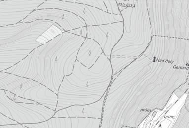
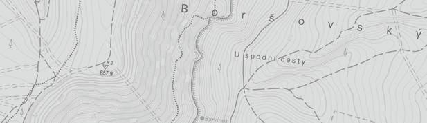
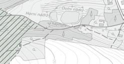
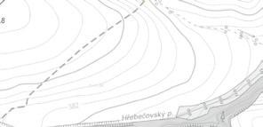
The main objective was to make a strategic plan (landscape planning tool) to understand the unique landscape of Hrebec. By analysing the natural, cultural-historical and aesthetic-perceptual structure of the landscape, it was possible to respond to the problems in the area and propose harmonious use. The keywords for this specific site were: forest - agricultural land - kuesta - springs - mining - four-sided farm yards - tunnel - border.
New design ideas included: - regeneration of the area after mining - revitalisation of watercourses
- anti-erosion elements
- improving the permeability of the area - restoring the natural composition of forest stands


řešené území návrhové řešení trvalý travní porost lesní porost lesní porosty s vyšším pod lem listnatých dřevin
návrh převzatý z územního plánu
ZO - zeleň - zeleň ochranná a zolační
kraj nná zeleň alej/stromořadí cesta zatravnění revitalizace vodních toků a doplnění vegetace návrh ÚSES lokální biocentrum lokální biokoridor interakčn prvky vymezení ÚSES hranice biocentra hranice biokoridoru

ZP - zeleň - př rodního charakteru se suchým poldrem

W - plochy vodní a vodohospodářské - retenční nádrž
W - plochy vodní a vodohospodářské - vodní plochy


NS - plocha smíšená nezastavěného území stávající vymezení ÚSES hranice biocentra hranice biokoridoru


 NÁVRH CÍLOVÉHO USPOŘÁDÁNÍ KRA JINY