Off Market-60 Acres For Sale in Habersham County on the Soque River
TAMMIE
CARTER WITH ENGEL & VÖLKERS ATLANTA
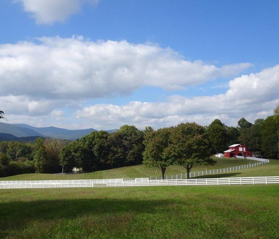
Situated on the Soque River
Learn More
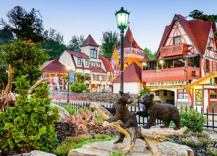
Only Moments from Helen
Learn More
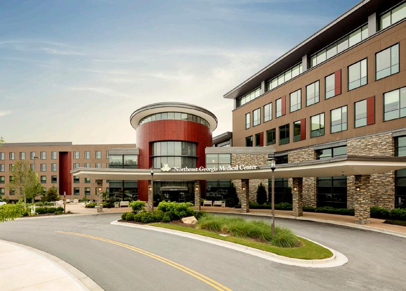
Proximity to Top-Rated Northeast GA Medical
Short Drive to Dahlonega
Learn More
30 Minutes from the Habersham Airport


Learn More
Short Drive to University of North GA

Learn More
Learn More
Welcome to Habersham County
11090 Highway 197 N, Clarkesville, GA 30523
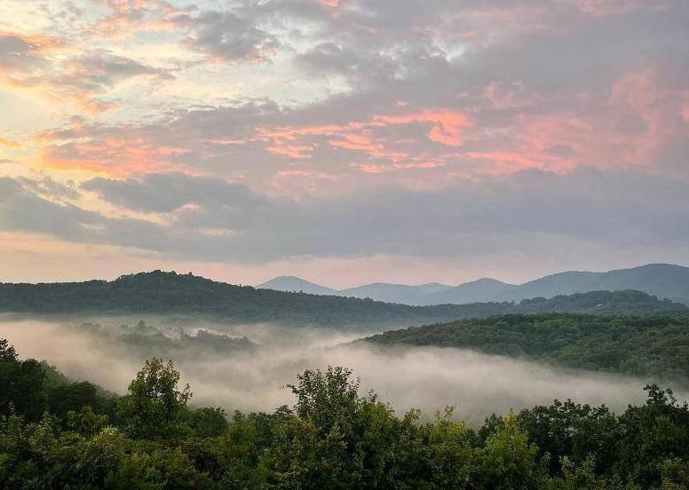
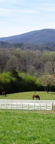
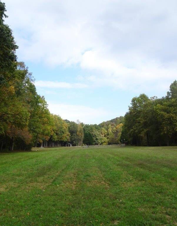
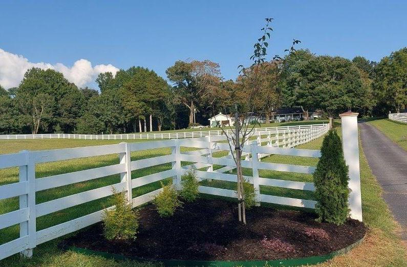
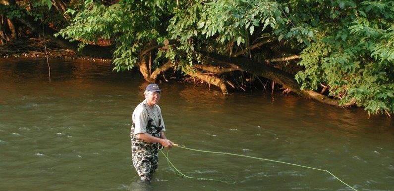
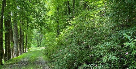
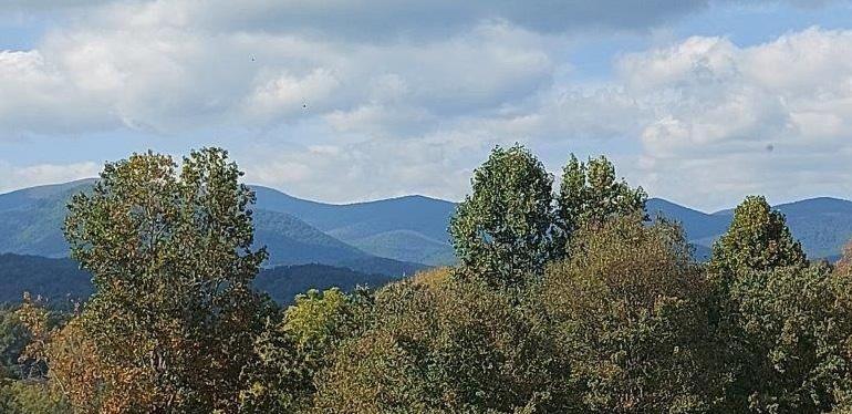
Nestled in the majestic Blue Ridge mountains of northeast Georgia, this exceptional 60-acre estate is a dream for outdoor enthusiasts. It features the renowned Soque River for unparalleled fly-fishing and boasts a quartermile stretch on the property’s backside, along with ten acres extending into the Chattahoochee National Forest. Nearby, you can explore the exclusive Lake Burton, just 8 miles away, and hike the visible Appalachian Trail at Tray Mountain. Beyond the estate, North Georgia’s vibrant wine country awaits with a short 45-minute drive to Dahlonega, known for its rich history and culinary delights. Dahlonega offers exceptional restaurants, entertainment, and various activities, including North Georgia University. Only 15 minutes from the river property, you’ll find Helen, an Alpine-themed village famous for its annual Oktoberfest and year-round family-friendly activities. Conveniently, Clarkesville, just a 20-minute drive away, provides North Georgia Technical College and essential services. Additionally, Habersham County Airport is 30 minutes away in Cornelia, and Habersham Medical Center Hospital is located in Demorest, a quick 30-minute drive. For advanced medical needs, Northeast Georgia Medical Center, a top-rated 557-bed level 1 trauma center, is approximately 1 hour away in Gainesville, Georgia. Don’t miss this extraordinary Northeast Georgia property, situated just 11 miles north of Clarkesville.
PRICE ACREAGE Off Market 60 Acres
1630 1640 1650 1660 1680 1670 1660 1650 1640 1630 1710 1670 1680 1690 1700 1710 1700 1690 1680 1670 1660 1650 1640 1630 1590 1600 1610 1620 1630 1640 1650 1660 1670 1660 1670 1680 1690 1700 1680 1690 1700 1710 1690 1680 1670 1660 1620 1630 1640 1650 N55° 04' 56"E 17.12' N81°19'40"W 75.86' N50° 57' 20"W 117.79' N71°29' 17"W 47.53' N82°20'02"W 124.95' N85°51'07"W 211.77' N17° 31' 08"W 22.09' S77° 21' 49"W 235.38' \ \ \ X X N25° 13' 01"W 87.64' C1 N23° 01'39"W292.91' C2 N15° 17'30"W236.28' C3 X X X X X X X X X X X X X X X X X X HOUSE POOL GAZEBO HOUSE 12" RBF w/ cap "HMB" 5 8"RBF 5 8"RBF 5 8"RBF STONE STONE 12"RBS 14"RBF GA HIGHAY 197 (PROPERTY MAPPED 15' FROM CL) ASPHALT DRIVE N/F WILBANKS, MARLAN PB 56 PG 2 N/F SPADE, STEVE DB 828 PG 254 N/F CAREY, CLINTON L DB 466 PG 304 N/F SUTTON, LARRY DB 173 PG 672 LAND LOT 71 LAND LOT 98 APPROXIMATE LLL LAND LOT LAND LOT APPROX LAND LOT CORNER B B A A FOR CLERK OF COURT RECORDING


1670 1670 1660 1590 1660 1670 1680 1690 1700 1710 1670 1690 1700 1710 1720 1730 1740 1660 1670 1680 1690 1700 1710 1680 1690 1650 1660 1670 1680 1690 1640 1650 1660 1670 1680 1690 1690 1700 16701660165016401630 1700 169016801670166016501640 1580 1590 1680 1690 1700 1710 1720 1730 1660 1670 2590380.56 SQ FT 59.47 ACRES N55° 04' 56"E 1205.14' N58° 54' 41"E 104.51' N61° 10' 24"E 593.19' S25° 45' 30"E 919.87' S87°30'34"W 232.58' N77°47'00"W 106.50' N73°01'42"W 141.18' N71°46' 38"W 132.75' N72° 24' 46"W 39.90' S6° 35' 00"E 47.08' S10° 20' 01"E 164.09' S5° 10' 00"E 160.95' S15° 23' 01"E 59.10' S55° 00' 03"E 65.25' S9° 29' 01"E 82.61' S9° 06' 01"E 96.47' S17° 16' 01"E 124.58' S0°49' 00"E 52.43' S73° 31' 40"W 26.37' S73° 33' 18"W 157.53' S15° 16' 15"E 99.84' 328.31'S7°32'34"W S16°41'47"W 94.85' S7° 33' 55"E 151.07' S26° 01' 42"E 110.77' S9° 18' 00"E 78.13' S79°37'05"W 160.13' \ \ \ \ \ \ \ \ \ \ \ \ \ \ \ \ \ \ \ PARCEL CURVE DATA SEGMENT C1 C2 C3 LENGTH 152.31 538.15 91.02 RADIUS 3985.84 3985.84 1014.16 CH BEARING N24° 07' 20"W N19° 09' 34"W N17° 51' 46"W CH DIST 152.30 537.74 1571.15 X X X X X X X X X X X X X X X X X X X X X X X X X X X X X X X X X X X WELL GARAGE HOUSE BARN X X SHED BARNPOLE FENCED ENCLOSURE POND CENTERLINE OF SOQUE RIVER IS PROPERTY LINE SOQUE RIVER HOUSE 5 8"RBF 5 8"RBF 5 8"RBF 5 8"RBF 5 8"RBF 5 8"RBF 5 8"RBF 5 8"RBF 5 8"RBF 5 8"RBF 5 8"RBF STONE STONE 12"RBS 12"RBS CTR 23" OAK GRAVEL DRIVE N/F US FORESTRY SERVICE N/F TONY SUTTON DB 220 PG 777 N/F WILBANKS, MARLAN B PB 56 PG 2 MARLAN B N/F HEAD, ELIZABETH ANN DB 651 PG 576 LAND LOT 71 APPROXIMATE LLL LAND LOT 70 LAND LOT 71 LAND LOT 70 LOT 98 LOT 99 Shaded Area is the Limits of the 100 year floodplain C D D C 100.0002 SURVEY INFORMATION BASED ON GA STATE PLANE COORDINATES NAD 83 MEAN SEA LEVEL NGVD 88. TOPOGRAPHY INFORMATION BASED ON USGS LIDAR DATA DATED 2018 AND VERIFIED WITH LEICA GPS SYSTEM AND AERIAL PHOTOGRAPHY UTILIZING A UNMANNED AERIAL SYSTEM. A portion of this property lies within the 100 year floodplain per FEMA FIRM Panel 13137C0105D Dated 01/05/2018.




©2023 Engel & Völkers. All rights reserved. Each brokerage independently owned and operated. All information provided is deemed reliable but is not guaranteed and should be independently verified. If your property is currently represented by a real estate broker, this is not an attempt to solicit your listing. Engel & Völkers and its independent license partners are Equal Opportunity Employers and fully support the principles of the Fair Housing Act. TAMMIE CARTER • ENGEL & VÖLKERS ATLANTA 2610 Old Milton Pkwy | Alpharetta | Georgia 30009 O +1 404.845.7724 | M +1 770.820.7127 tammie.carter@evatlanta.com | tammiecarter.evatlanta.com


