2 minute read
Hidden Gems - Maligne Ravine


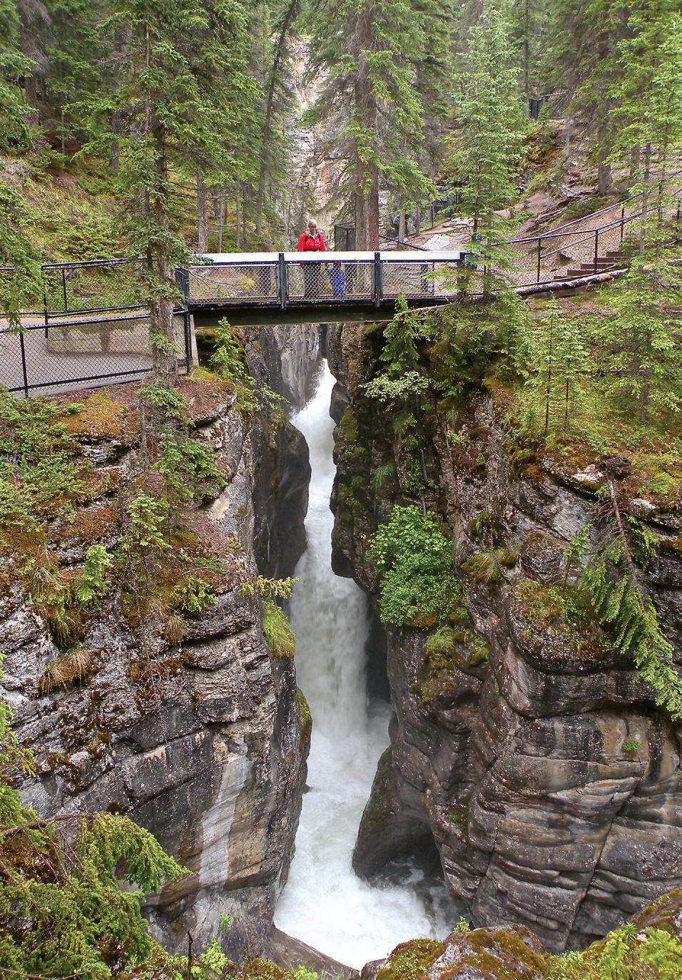
It’s been said in the Rockies that when water is flowing, a canyon is growing. If you hike Maligne Canyon from Sixth Bridge, the 3.7 km outing will convince you this is true. For those with less time, you may hike from Fifth Bridge (2.7 km), or complete the 800 m loop near the teahouse. This outing is great for cloudy and rainy days.
From Sixth Bridge picnic area, cross the Maligne River and head upstream. Jesuit missionary, Pierre-Jean De Smet, referred to the river in 1846 using the French word “maligne,” which means “wicked.”
Advertisement
After 800 m of pleasant riverbank you reach the mouth of the canyon. Note the change in the character of the forest. Dampness and chill prevail. Two rivers flow through the canyon. If you were to compare the volume of flow at Sixth Bridge with the volume at First Bridge in mid-summer, you would see that the lower canyon contains much more water (eight times as much) as the upper canyon. An underground river, which begins up the valley at Medicine Lake, empties 24,000 litres per second into the canyon. This underground river may be the largest in the world.

After climbing above the river, the trail descends again to the damp forest at riverside. Beaten paths lead to the riverbank, but the wet, silt-covered rock is certain death if you misplace a step.
Above the Fourth Bridge, the canyon narrows dramatically. Downstream the river is eroding relatively weak shales. Upstream the river has a tougher time with resistant limestone. This rock is fossil-rich.
The Maligne River takes a mighty drop beneath Third Bridge, where the canyon’s depth is 10 m and you cross to the opposite bank. The air also changes. Below the bridge, within the canyon, it’s cool and damp. From here on you climb along the canyon rim, where the air is noticeably warmer.
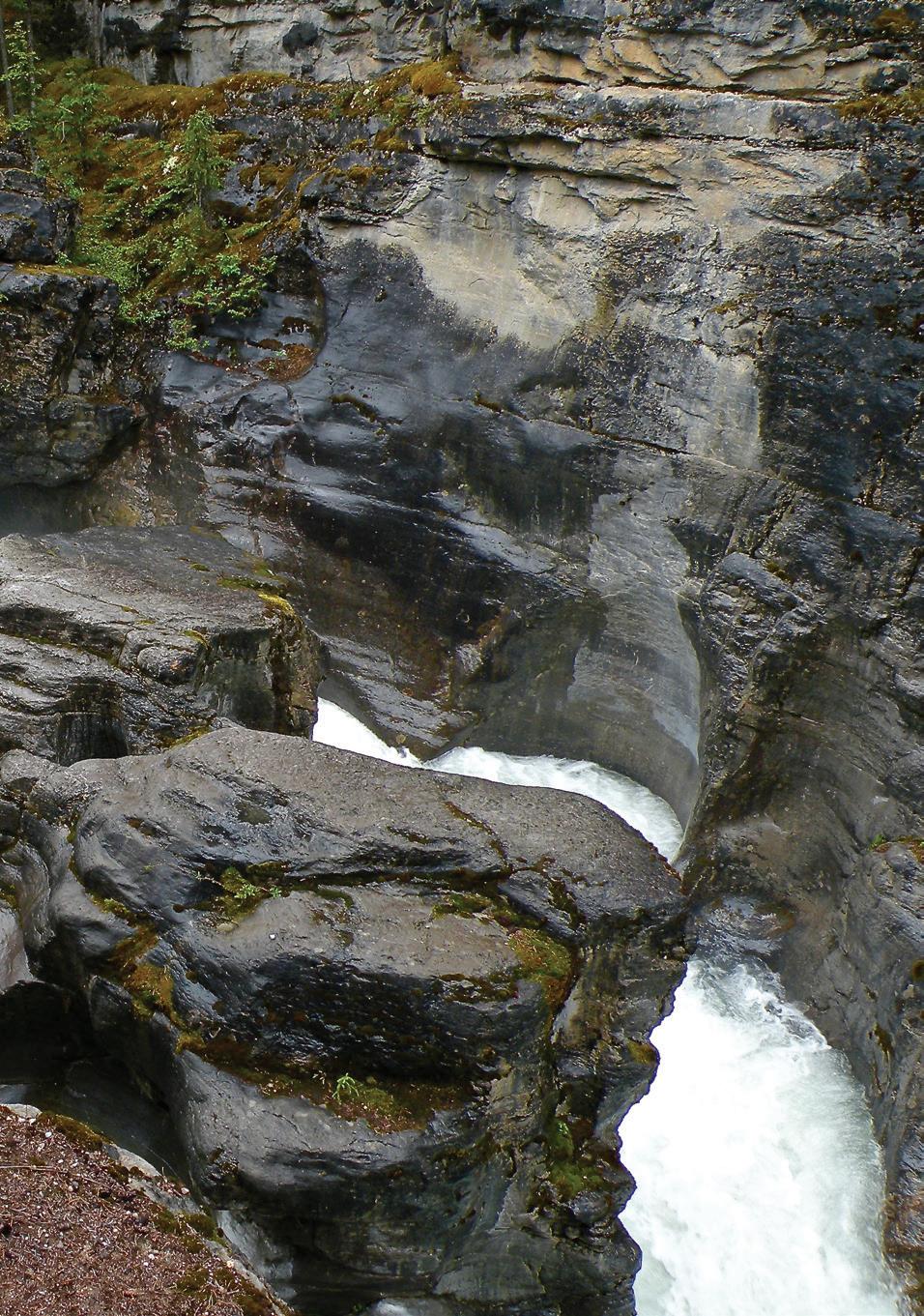
Maligne Canyon is deepest (55 m) at Second Bridge. Locals know the pocket of ice on the wall as “The Icebox.” At First Bridge, the canyon is 38 m deep and the entire river is forced through a 1 m slot. Although the canyon is shallow from here on, it features wonderful potholes. These are circular depressions drilled into the limestone by boulders caught in eddies, a process that requires thousands of years.
From the teahouse, walk back down as you are certain to see things you missed before. And spending more time in the company of the lower Maligne River, a ribbon of blue-green beauty, is bound to yield many more exciting discoveries!
Photos and Story by: Graeme Pole


