2 minute read
Scenic Parkways
Due to recent wildfires, certain areas may be temporarily unavailable due to restoration work. Parks Canada is working hard to get these areas of the park re-opened as soon as possible. For the updates visit parkscanada.ca/Waterton.

Advertisement
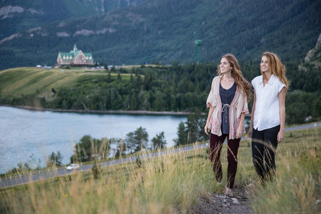
PARK ENTRANCE ROAD / KOOTENAI BROWN The 8 km (5 miles) route, from the park gate to the community, features outstanding views of the park’s namesake chain of sparkling lakes.
RED ROCK PARKWAY / RED ROCK CANYON Meanders 15 km (9 miles) over rolling prairie through the Blakiston Valley. It best illustrates “Where the Mountains Meet the Prairie.” The parkway follows the ancient Buffalo Trail used by Indigenous hunting parties. Learn more at roadside exhibits. Dramatic views of Mt. Blakiston, the park’s highest mountain (2940 m/ 9645 ft.) are complemented by strikingly red and green coloured rocks. Red Rock Canyon offers a lovely day use area with trails, exhibits, and picnic shelters.

AKAMINA PARKWAY / CAMERON LAKE Begins in the village and runs 16 km (10 miles) up the Cameron Creek Valley to glacier-formed Cameron Lake. The First Oil Well in Western Canada commemorates Western Canada’s first producing oil well. The Continental Divide parallels the roadway and the boundaries of Alberta, British Columbia and Montana converge at Cameron Lake. Consider renting an e-bike for this adventure if the parkway is open.

BISON PADDOCK CIRCLE DRIVE Located north of the park entrance gate, on Hwy 6, is the Bison Paddock Loop Road. It rolls across a stunning glacial landscape of moraines and eskers. Native grasslands are home to a small herd of plains bison, direct descendants from the original herds of the Great Plains. The bison herd has temporarily been relocated until their handling facility has been repaired and the range has sufficiently recovered.

CHIEF MOUNTAIN INTERNATIONAL HIGHWAY / BELLY RIVER Departs Hwy 5, east of the park gate. It leads to Glacier National Park, USA, and the Chief Mountain border crossing see pg 8. The seasonal road offers dramatic scenic vistas high above the Waterton Valley. Learn more at the exhibit there. The Belly River campground is located along this route. The sacred Chief Mountain dominates the skyline.


