
5 minute read
How Drone Surveys Give Earthworks Teams an Edge


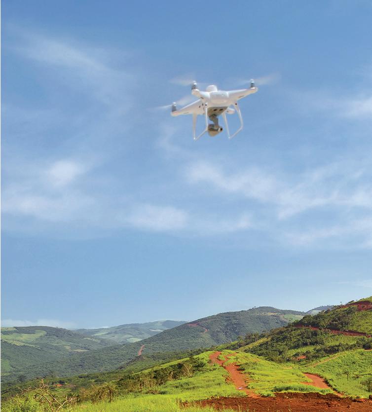
Drones can help contractors create more competitive bids that maximize profit margins and also help monitor the project with high levels of accuracy and frequency.

Propeller Aero

From Bidding to Progress Monitoring: How Drone Surveys Give Earthworks Teams an Edge
The earthworks bidding process is always a delicate balancing act, challenging construction managers to both submit a competitive bid that wins the project while crafting a proposal that remains profitable. Traditionally, bids are proposed based on the overseeing engineer’s final design and data that depicts current conditions at the site itself. The process of acquiring accurate data can be incredibly time-consuming, especially for larger scale projects.
However, drone survey data is offering a new way to streamline and enhance this process, since it allows planners to more easily validate the design and obtain accurate materials estimates not only at the start of a project, but throughout as well. Survey teams can obtain incredibly accurate measurements of the quantity of materials onsite with a single flyover, helping to check bids and generate clear cost estimates to ensure operators have a proper understanding of what the job will entail. Throughout the project, drone surveys become even more useful, helping teams monitor progress and create visual reports for clients.
DEEPER INSIGHTS BEFORE BREAKING GROUND
Flying a drone before making a final bid allows contractors to avoid underbidding, which can lead to a net loss on the project, while also avoiding overbidding, which can lead to a potential client selecting a competitor’s bid. Once the contract is won, a construction firm can use drone data before they break any ground, capturing crucial preliminary information that allows them to measure, cut, net and fill quantities at a given site. With the information collected during a drone survey, operators can
rapidly create a digital representation of the site, empowering contractors to understand the exact volumes of earth that will need to be moved and compare that with the final project design.
This deeper understanding can save firms and their clients thousands of dollars; take, for example, Lange Land Surveys (LLS), a full-service land surveying company in Arvada, CO. LLS was tasked with providing their client, Remington Homes, with better information and data about the quantities and status of dirt at one of their sites, a residential development comprised of 75 home lots.
Normally, a GPS point survey of the site would have taken three days, but drone surveying allowed LLS to do it in just half a day, saving valuable crew time. With the highly accurate drone data, LLS was then able to create a 3D representation of the surface and compare it against the design and preliminary development plans. What they found surprised them: the drone flight captured more dirt on each lot than was originally budgeted by Remington Homes. With this knowledge, the builder was able to add the additional dirt movement cost into the price of each home, amounting to a $2,000–$3,000 savings per lot, all before breaking ground. In total, drone surveying helped LLS recoup $187,000 in savings for Remington Homes.
EASIER PROGRESS TRACKING
Using drone surveying technology to track progress gives earthworks crews an edge, and boosts client satisfaction through consistent updates. Using drone analytics software, earthworks operators can create 3D topographical maps of a worksite. These maps allow contractors greater visibility into site operation, so they can preemptively identify areas of risk, inefficiency, or delay, and make informed decisions sooner than they could with traditional
surveying methods. In terms of largescale infrastructure projects like highways or dams, where delays of even a single day can cost thousands or even hundreds of thousands of dollars, upto-date information is invaluable. These 3D site maps also allow contractors to develop regular progress reports, maintain a centralized system of record for the project, and ease communication between teams, since they can serve as a clear visual reference point for collaboration. Finally, these reports can easily be shared with clients, helping paint a clear picture of work progress onsite and provide Propeller Aero data to verify that the project is staying on track and on budget. For a real-world example, take nationwide construction and contracting company Hensel Phelps, which used drone surveying for earthworks tracking on its recent Hawaii State Hospital build in Honolulu. Normally, they would have bid out earthwork to a subcontractor that would plan their work from excavation to grading to backfilling. Instead, they opted to use drone surveying, which allowed them to hire their own operators to plan earthwork in-house. By flying a drone every two to three days, operators were able to obtain an accurate representation of the site and track their progress and productivity closer to real-time, boosting efficiency and saving money by eliminating the need for a subcontractor.
Many earthworks projects are not only bound by construction restrictions, but also environmental restrictions such as set boundaries and no-go zones. With jobsite visualization, operators can highlight protected areas of the site, and easily share data with the entire crew to show them where extra care needs to be taken.
THE FUTURE OF EARTHWORKS
Drones are fast becoming go-to tools for earthworks projects and will soon be as common of a sight as backhoes and excavators on jobsites. Equipped with an end-to-end solution for processing drone survey data, contractors can generate competitive bids that maximize profit margins, monitor progress with a high level of accuracy and frequency, and protect environmental and worker safety. Drone surveying is quickly leaving traditional survey methods in the dust and will be key to unearthing the next phase of earthworks.
Written by John Frost, vice president of business development at Propeller Aero. Learn more about the company at https://www.propelleraero.com/.
For more information on drones, visit
ForConstructionPros. com/21509119
Dmitry Lobanov/ AdobeStock
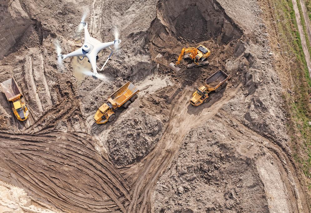
FROM BID TO COMPLETION
Drone surveying not only reduces costs, but also improves safety and protects the environment. Drone technology and analytics software helps teams decrease or even eliminate the need for in-person surveys and inspections, thereby reducing the safety risk associated with physically walking a site. The technology allows teams to quickly inspect haul roads to get an accurate view of ground conditions and make sure they comply with safety standards, and even facilitate safer traffic management on them.
ADM KNOWS NO LIMITS.

When it comes to buying the asphalt plant that’s right for you, discover ADM. We don’t limit you to the cookie cutter solutions you find elsewhere. Instead, we get to know you and your business, so we can customize a plant for you from one of our four series of asphalt plants.


