3 minute read
Editorial


Location and Time: Two Extremely Important Variables
Prof. Arup Dasgupta
arup@geospatialworld.net
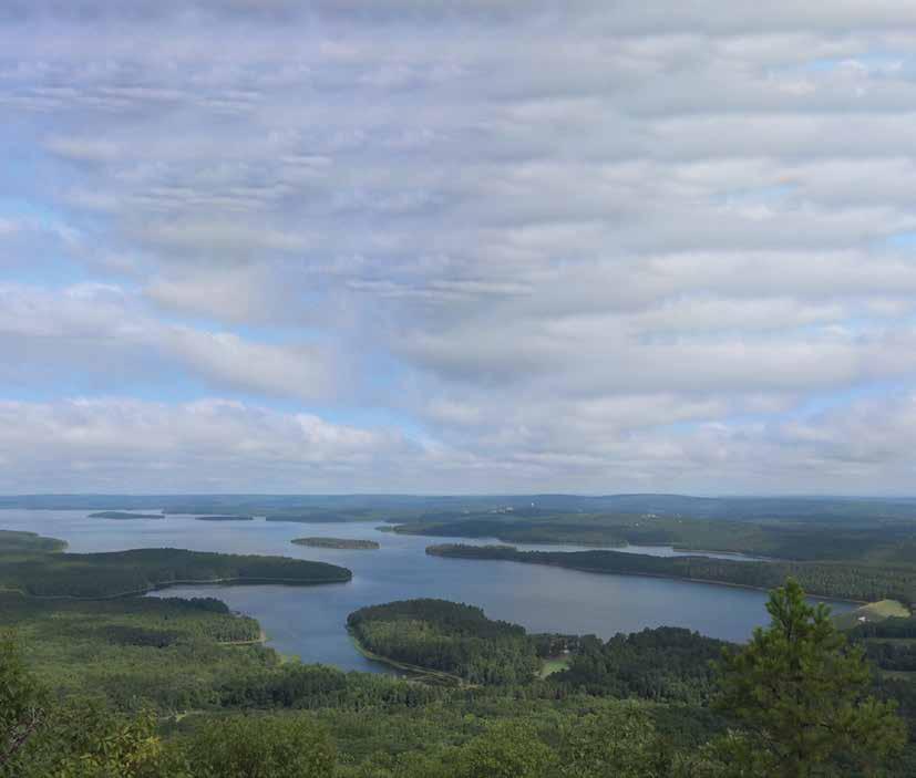
Ever since the war between Ukraine and Russia began, the media have bombarded viewers with images showing the various locations where the conflict has inflicted massive damage. High resolution imagery has been used to locate the bodies of civilians who have died in the conflict and verify their locatioan in the context of certain features of landscape and time. While this may be a grisly application, location and time in general are perhaps the two most important variables in any act of planning, implementing, and monitoring in the civilian space.
The collection of high resolution data over a region on a daily basis and its availability make the applications of location very timely. In fast changing scenarios like disasters, such data has immense value. New applications like driverless transportation need data in real time to be able to safely navigate their routes and react in time to sudden route blockages. Real time location services need an always connected communications environment, which, in turn, needs failsafe wireless communications networks and sensors. Further, real time applications of such high-velocity data streams also require AI-based software solutions.
Applications of location and business intelligence show that static digital maps, which replaced static paper maps, may also, over time, be replaced by real-time spatial information derived from a new generation of sensing devices. Navigation and routing will depend on real-time information from onboard sensors and sensor networks, and thus, may become map-less. Static digital maps may be relegated to serve the role of base maps. Position location using GNSS has also shown weaknesses, particularly in mission critical applications.
Ed Parsons, Geospatial Technologist, Google, said that we need to think differently about geospatial data in terms of how it is collected, distributed and used. While this may sound old hat — it has been said ever since ERTS (Earth Resources Technology Satellite) was launched — what is different is the technology changes and the resultant applications it has spawned. This requires a fresh look at what is called the geospatial value chain.
Earlier, the value chain started with remotely sensed imagery, to which value was added through interpretation, which yielded information that was then used in decision-making. In the age of real-time data acquisition processing and modeling using advanced techniques and analytics, the concept of value chain takes on a different meaning. Now it is not only the data but also includes the mode of communications, analytic techniques using, say, edge computing, and instantaneous delivery of the results, which are often used in machine-based decision-making.
Autonomy is the name of the game — from data acquisition, processing, and analytics to delivery and application. Human intervention is dominant in the design and realization of the systems, and perhaps in troubleshooting and fault location when things go wrong. Maybe this too will be automated. Will we end up in a dystopian Terminator world? Or maybe human ingenuity and sense of responsibility will ultimately triumph over mechanization of autonomy.
The human hand on the steering wheel will be needed for some more time still in the geospatial value chain.
Creating Customer Value Over 15 Years
150+ Marquee Clients across Govt & Corporate sectors
CMM Level 3, ISO 27001 & 9000 Certified
20+ Industry Awards India’s Fastest Growing Geospatial Solutions Provider
India’ Master Reseller for Maxar Satellite Imagery & Services
Superior Data Acquisition: Drones, LiDAR, GPR, Edge Devices
Partner of Choice for Trimble, ESRI, Hexagon & Here
The First Property Tax Revenue Optimization Project in India First & 5 Successful Statewie CORS Implementations in India
System Integrator providing Engineering solutions across Power Transmission, Telecom, Highways, Gas & Water Networks
120+ Engineers with 2000+ Man Years Experience, across Gurgaon, Hyderabad & Kolkata
Started as GeoInfosys Technologies
Navigate Geospatial World Confidently
NeoGeoInfo Technologies Pvt. Ltd.
( ) Formerly known as Geoinfosys Technologies M ap M odel Manage