3 minute read
State of the Park


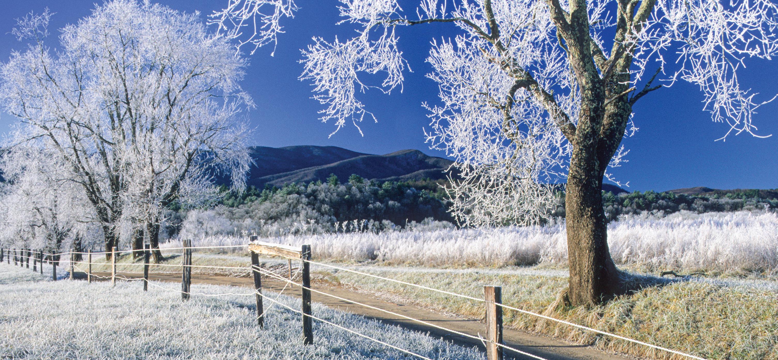
Other services especially at the higher elevations. BackThere are no gas stations, showers, or packers are often caught off guard when restaurants in the national park. a sunny day in the 70s°F is followed by a wet, bitterly cold one. By mid- to late Park weather April, the weather is milder. • Spring - March has the most changeable weather; snow can fall on any day, • Summer - By mid-June, heat, haze, and humidity are SOCIAL DISTANCING the norm. Most precipitation Observe wildlife rules... but with people! occurs as afternoon thundershowers.
Wash your hands with soap and water for at least 20 seconds. Stay home when sick.
Stay 6 feet away from other people.
If you sneeze or cough, cover your mouth and nose with a tissue. Avoid touching your face.
Still don’t use slower friends as bear bait.
• Autumn - In mid-September, a pattern of warm, sunny days and crisp, clear nights often begins. However, cool, rainy days also occur. Snow may fall at the higher elevations in November.
• Winter - Days during this fickle season can be sunny and 65°F or snowy with highs in the 20s. At the low elevations, snows of 1" or more
These temperature and precipitation averages are based on data for the last 20 years. Temperatures are in degrees Fahrenheit. An average of over 84" (7 feet) of precipitation falls on the higher elevations of the Smokies. On Mt. Le Conte, an average of 82.8" of snow falls per year.
Fishing
Fishing is permitted year-round in the park, and a Tennessee or North Carolina fishing license is required. Either state license is valid throughout the park, and no trout stamp is required. Fishing with bait is prohibited in the park. A special permit is required for the Qualla Boundary and Gatlinburg. Licenses are available in nearby towns. A free fishing map with a complete list of all park fishing regulations is available at visitor centers.
Camping in the backcountry
Winter camping can be an exciting adventure for persons properly equipped and informed. To facilitate this activity, the National Park Service maintains more than 800 miles of trails and more than 100 backcountry campsites and shelters throughout the park. One of the greatest challenges for backcountry campers is deciding where to go. Here are some tools to help. 1. Get the map. Go online to view the park’s official trail map (nps.gov/grsm/ planyourvisit/maps.htm), which shows all park trails, campsites, and shelters. Park rules and regulations are also listed here. If you wish, you can purchase the printed version of the trail map for $1 by stopping at any park visitor center, calling 865.436.7318, ext. 226, or shopping online at SmokiesInformation.org. 2. Plan your trip. Call or stop by the park’s backcountry office, which is open daily from 8 a.m. to 5 p.m., for trip planning help. The office is located in Sugarlands Visitor Center, two miles south of Gatlinburg on U.S. 441. 865.436.1297. 3. Get a permit. Make your reservation and obtain your permit through the backcountry office at Sugarlands Visitor Center (by phone or in person) or online at smokiespermits.nps.gov.
Reservations and permits are required for all overnight stays in the backcountry. The cost is $4 per person per night. Reservations may be made up to 30 days in advance.
Winter hikers should be especially aware of quickly changing conditions and the danger of hypothermia—the lowering of body temperature. Always carry an ample supply of food, water, and reliable rain gear. Layer clothing that provides warmth when wet (not cotton). Be prepared for sudden weather changes, especially at the higher elevations, including rain, cold, and wind. Stay dry, and know your limitations.
See page 8 for more trip essentials.
Driving distances and estimated times Cherokee, NC to:
Gatlinburg: 34 miles (1 hour) Cades Cove: 58 miles (2 hours) Newfound Gap: 18 miles (½ hour) Clingmans Dome: 25 miles (¾ hour) Cataloochee: 39 miles (1½ hours) Deep Creek: 14 miles (½ hour)
Gatlinburg, TN to:
Cherokee: 34 miles (1 hour) Cades Cove: 27 miles (1 hour) Newfound Gap: 16 miles (½ hour) Clingmans Dome: 23 miles (¾ hour) Cataloochee: 65 miles (2½ hours) Greenbrier Cove: 6 miles (¼ hour) Deep Creek: 48 miles (1½ hours)
Townsend, TN to:
Cades Cove: 9 miles (¼ hour) Newfound Gap: 34 miles (1¼ hours) Gatlinburg: 22 miles (¾ hour) Cherokee: 52 miles (1½ hours) Look Rock: 18 miles (½ hour) Cataloochee: 87 miles (3 hours)