2 minute read
Methodology
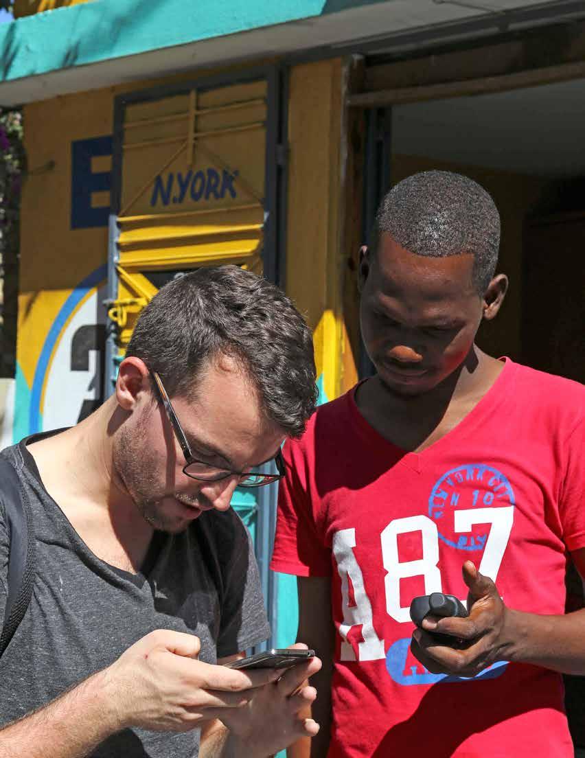
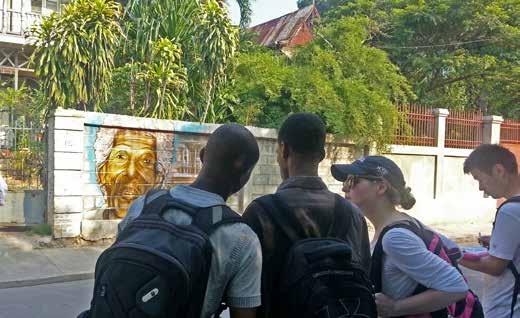
Team surveying Maison Gauthier.

The aims of this study were to undertake an informed analysis of the current urban context of the Bois Verna, Pacot, Turgeau, and Bas Peu de Choses neighborhoods; the roles that Gingerbread houses play within this context; and the challenges and opportunities associated with those Gingerbreads. An underlying premise of this approach was that the Gingerbreads can only survive into the future if they remain integral elements within the built and social fabric of the city. Therefore, research could not simply focus on the Gingerbreads, but rather needed to explore the Gingerbreads as part of a larger urban environment. For the purposes of this studio, the team focused on the study area defined previously by FOKAL and others, roughly bounded by Avenue John Brown to the north, the steepest slopes of Pacot’s hillside to the south, Avenue Magloire Ambroise to the east, and Avenue Martin Luther King to the west.
Urban conditions vary significantly within the study area, from quiet residential neighborhoods to busy commercial corridors. To understand the Gingerbreads within their range of urban contexts, the studio’s research employed two fundamental lenses. First, the team identified all the Gingerbreads within the study area. This lens provided comprehensive information about the geographical distribution of these houses as well as an overall sense for how the condition of Gingerbreads has changed since the last survey was conducted in 2010. The team then defined smaller concentrations—or “nodes”—of Gingerbreads within discrete sub-neighborhoods of varying character, surveying all the buildings (including non-Gingerbreads) within these nodes. This second lens fostered a greater understanding of the different relationships between the Gingerbreads and their diverse urban contexts. This analysis could then inform the development of potential interventions that were specific to different types of Gingerbread contexts, with the ultimate aim of valorizing and preserving the Gingerbreads in ways that contribute to the community’s social, environmental, and economic well-being and resilience.
The lack of existing data poses a fundamental challenge in researching the built environment of Port-au-Prince. The Centre National de l’Information Géo-Spatiale (CNIGS) in Haiti is in the process of undertaking the first cadastral survey of Port-au-Prince. There are no available property maps, nor systematic records of land ownership. While the photographs from the 1980s Gingerbread survey by the Office National du Tourisme and ISPAN are now available, the accompanying survey records, addresses, and maps have not been recovered. The 2010 post-earthquake assessment mission identified some of the Gingerbread houses within the aforementioned neighborhoods but due to conditions on the ground this survey was not comprehensive. The


