2 minute read
INNOVATING FOR THE BENEFIT OF THE TEXAS COAST

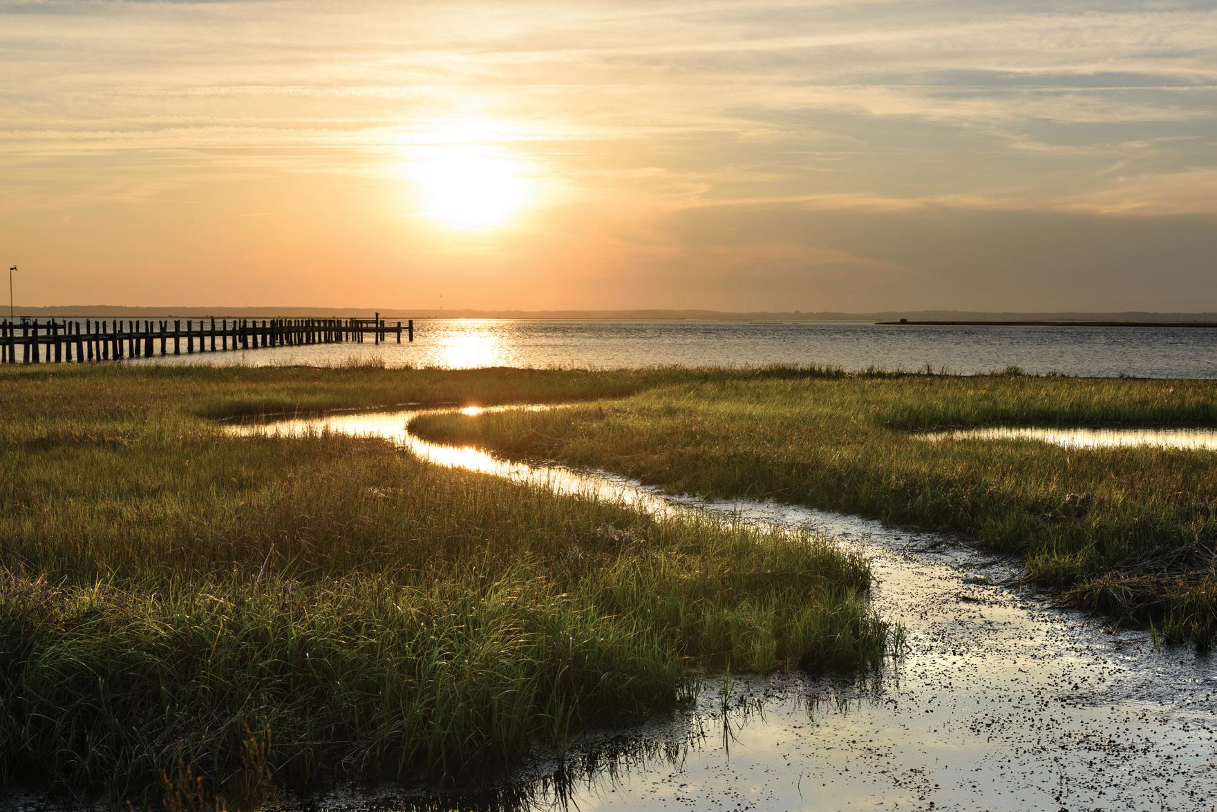
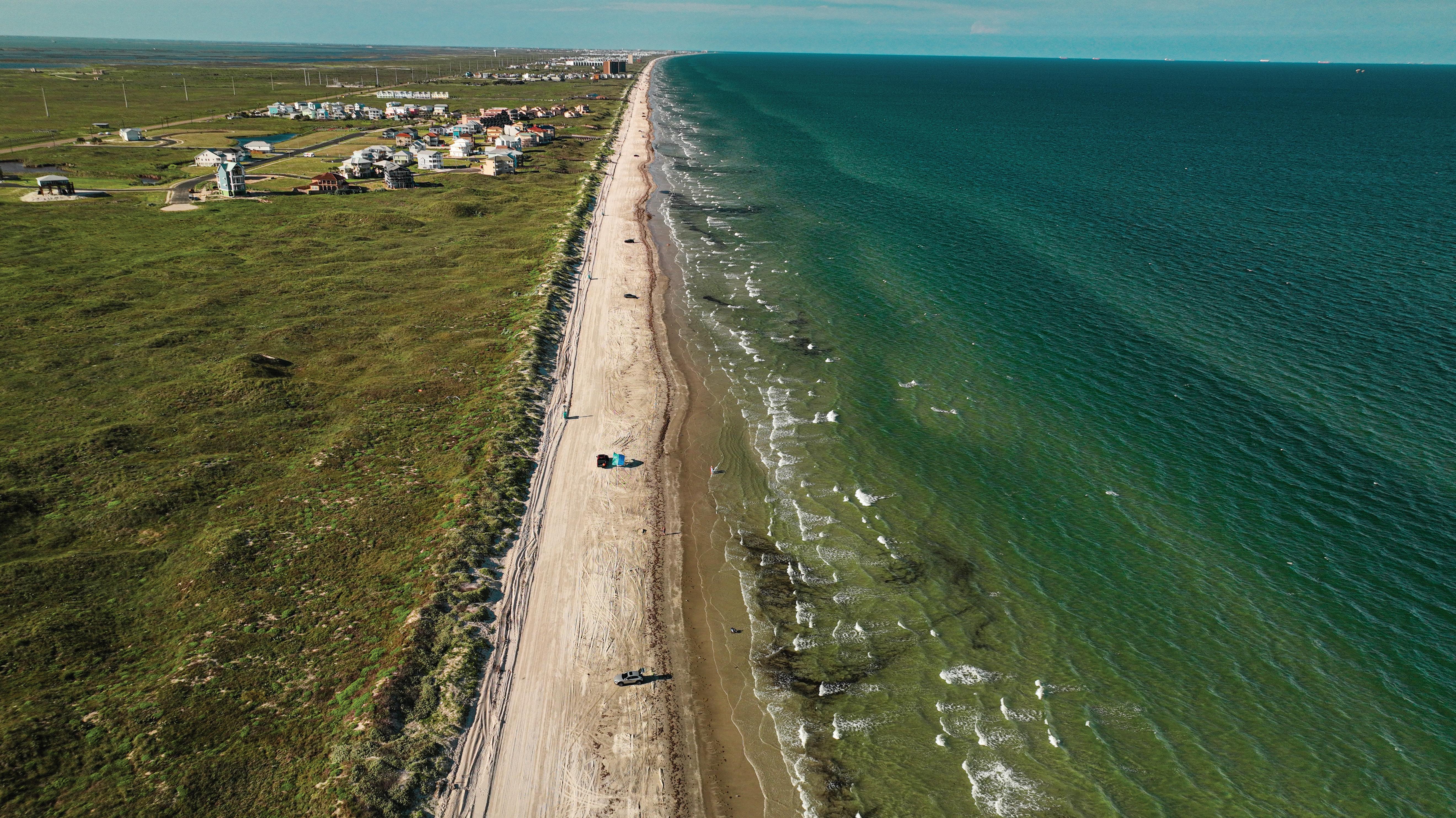
There are uncertainties in predicting sea level rise, but the past can provide a critical foundation for understanding and projecting future changes.
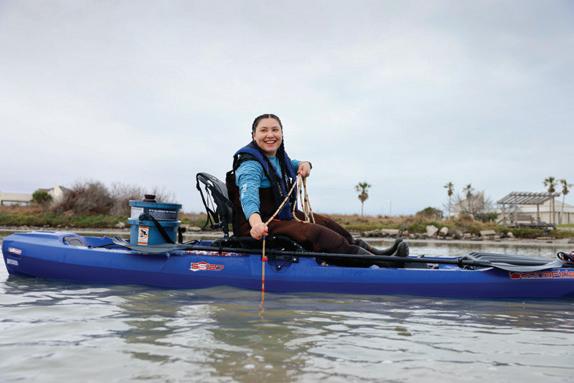
HRI’s Coastal and Marine Geospatial Sciences program led by Chair Dr. James Gibeaut, takes information from the past to help put into perspective what is currently happening on the coast regarding sea level rise, which can provide a look into the future.
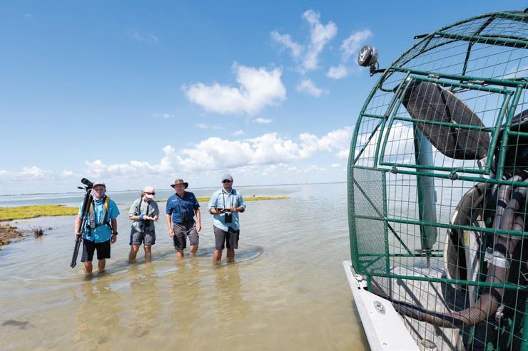
The program works with multiple organizations in Texas as part of the Texas General Land Office’s Texas Coastal Resiliency Master Plan (TCRMP), and through its pioneering modeling, researchers consider issues along the coast such as erosion, flooding, loss of habitat, alteration or degradation of water quality, and the impact of climate change.
The group gathers information to put the current state of the Texas coast in context, while also modeling how sea level rise could affect the coast in the future. As part of the TCRMP, HRI researchers conducted sea level rise and storm surge modeling to provide information about potential environmental impacts.
A key part of the data collection and review in this process is GRIIDC, the Gulf science data repository. GRIIDC allows users to search a large catalog of information produced by thousands of scientific studies, primarily focused on the Gulf of Mexico.
The information is important in calling attention to how the coast is changing and how it will impact natural and economic environments, along with socio-economic conditions. Additionally, the program provides stakeholders such as local governments, industry and businesses, and federal agencies with the knowledge to make sound decisions on the future of the Texas coast to lessen the impact in the future.