7 minute read
The Spring Creek Greenway: Connecting Communities


A lone bicyclist hurtles down an asphalt path, sending a family of deer back into the brush. A few yards away, an osprey hunts for fish in the creek, unaware of a troop of birdwatchers snapping photos. The sounds of birds, frogs, and rustling leaves compete with the distant patter of greenway travelers.
With twelve times more land than New York's Central Park, the Spring Creek Greenway is a 10,000-acre forest in one of the region's most populated areas, connecting dozens of neighborhoods and eight parks. Visitors can travel as many as 17.5 miles of paved paths and hundreds of miles of natural surface trails through preserved pinewood forests, wetlands, and prairies from Humble to just west of I-45.
Advertisement
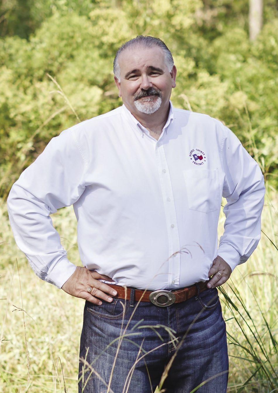
"You don't have to spend hundreds of dollars traveling to see bald eagles, ospreys, beavers, and river otters," says Dennis Johnston, Harris County Precinct 4's parks director. "They are here in our backyard and can be best viewed along our creeks in a canoe or kayak."
1979
The Spring Creek Greenway began as the Cypress Creek Parks Project in 1979, when Harris County Judge Jon Lindsay led the effort to buy land along Spring and Cypress creeks. Some of those parcels eventually became parks, including Jesse H. Jones Park & Nature Center, Meyer Park, Mercer Botanic Gardens, and Burroughs Park.
2005
Seeing the greenway’s potential, former Precinct 4 Commissioner Jerry Eversole expanded the project, envisioning a 7.5-mile linear park system from Jones Park in Humble to Pundt Park in Spring. He dubbed it the Spring Creek Greenway.
As the project grew, Eversole approached then-Montgomery County Precinct 3 Commissioner Ed Chance about preserving land on the north side of the creek, in Montgomery County. Work began in 2005, after the project received a $1 million grant from the Texas Parks & Wildlife Department for land acquisition and trail development.
2011
"In 2005, we launched the Spring Creek Greenway expansion with Commissioner Eversole," says Johnston. "Commissioner Cagle was a new commissioner when we cut the ribbon on the final connection between Jones and Pundt parks."
After taking office in 2011, Harris County Precinct 4 Commissioner R. Jack Cagle continued the project, opening the 7.5-mile segment connecting Jones Park, Harris County's Cypresswood Golf Course, Stahl Preserve, and Pundt Park in March 2012.
Under Cagle, the greenway has grown to 17.5 miles in length. It is now one of the longest connected urban greenways in the nation, and it grows longer each year. When complete, it will span 40 miles from Humble to Tomball.
CONNECTING ANCHOR PARKS
Over the summer, Precinct 4 added a 3-mile greenway segment from City Place in Spring to Precinct 4’s Rothwood Park, paving the way for future connections west of Interstate 45. The trail provides access to City Place’s 150-acre nature preserve, which includes a forest habitat, wetlands, and ponds. Precinct 4 is still negotiating for land to complete a quarter-mile section to link trails to the east and west of I-45. When that section is installed, the greenway will extend nearly 21 miles.
From Rothwood Park, Precinct 4 will add a half-mile segment with a bridge over Willow Creek. The $2.2 million project is expected to go out for bid in the fourth quarter of 2021.
In the meantime, crews will begin work on the first phase of a nearly 7-mile segment from Burroughs Park to Willow Creek. Phase 1 started this summer and will run nearly a mile from the Creekside West Trailhead at Dr. Ann Snyder Drive in Tomball to Burroughs Park. Johnston has not set a timeline for the other two phases.
"Connecting the trail through The Woodlands from Ann Snyder to Kuykendahl Road and then on to Gosling Road will likely make the final connection through The Woodlands Creekside area," says Johnston.
To the east, Precinct 4 is working on completing Edgewater Park, a 90-acre space near Kingwood at Interstate 69 and the San Jacinto River. The $3 million development will include a boat launch, restrooms, concession area, fish cleaning station, parking lot, roads, and utilities. It will serve as the ending anchor park of the Spring Creek Greenway Trail.
The trail section at Edgewater Park will provide residents with access to the Bevil Jarrell Memorial Bridge. After crossing the bridge, pedestrians and bicyclists can hop onto the greenway on the south side of the San Jacinto River. The park will eventually connect visitors to hundreds of miles of trails in Kingwood to the east.
Construction on the Houston Parks Board's San Jacinto Greenway Project started in January near River Grove Park in Kingwood and will head west toward Edgewater Park. The project is part of the Houston Parks Board's Bayou Greenways 2020 initiative, which will include 150 miles of connected trails throughout the City of Houston.
Plans include building a 2.5-mile trail from Woodland Hills Drive at River Grove Park to Burning Tree Court near the Forest Cove community. The path will end near Edgewater Park in Kingwood.
A segment joining the Townsen Park and Ride in Humble to the greenway will provide another transportation option near Edgewater Park.
Johnston says residents are already experiencing the benefits of a connected greenway system.
"The properties we buy are 95% in the floodplains," he says. "Setting aside elbow room for our creeks and rivers gives the water someplace to go, while another flooded subdivision is prevented. Harris County Flood Control has been a critical partner with their efforts to buy land along the floodway corridors, and that foresight results in multiple benefits when done ahead of development.
"We create wildlife corridors stretching for miles, where wetlands and water is abundant, the food chain thrives, and we provide shelter and space for our native animals. And it gives people opportunities to see the wildlife."
The entire Spring Creek Greenway project could be complete in 10 to 12 years, but will likely take longer, as many projects remain unfunded, says Johnston.
BEYOND SPRING CREEK
The Spring Creek Greenway will eventually connect to other trail systems, including the Cypress Creek Greenway Trail, another 40-mile greenway project under development.
Together, the greenways will form an 80-mile paved path connecting to hundreds of miles of trails branching into neighborhoods, parks, and gullies across the region. So far, Precinct 4 has made only one trail connection between Spring and Cypress creeks — a .75-mile path extending into the Foxwood subdivision in Humble — but many more are planned.
"Every subdivision along both Spring and Cypress will link to their respective greenways directly, or they can build connectivity down to the creek along their gullies or drainage facilities," says Johnston.
Johnston will prioritize connections among Precinct 4's anchor parks, including Matzke Park, 100 Acre Woods Preserve, Kickerillo-Mischer Preserve (KMP), Champion Forest Park, Meyer Park, Collins Park, and Mercer Botanic Gardens.
Construction on a path connecting KMP on the east side of Texas 249 to the D. Bradly McWilliams YMCA and 100 Acre Woods Preserve on the west side has also kicked off. The nearly one-mile connector trail is expected to be complete by mid-2022. That segment will complete a significant section of the Cypress Creek Greenway, creating a 3.3-mile path connecting Matzke Park, the 100 Acre Woods Preserve, and KMP.
From there, crews would need to connect KMP to Champion Forest Park and then Champion Forest Park to Collins and Meyer parks. However, those segments are on hold until Precinct 4 secures the money necessary to build the trail. Johnston says the BNSF railroad track divides the two parks, and Precinct 4 does not yet have the money to create a railroad crossing.
"The BNSF railroad crossing is going to be an expensive development," he says. "Funds we just don't have at this time could be dependent on future parks bond funding."
Precinct 4 is also working with the Timber Lane Utility District to connect a segment on the east side of the Hardy Toll Road to Herman Little Park on the west.

That section of is expected to open later this year, allowing visitors to travel seamlessly ]between Herman Little Park and Precinct 4's Mercer Botanic Gardens. Spring and Cypress creeks are just two of the many greenways taking shape across the region. Johnston is confident that all of Harris County's greenways will one day connect, forming a significant transportation corridor. Precinct 4 and other organizations can now build trails along toll roads and utility corridors, thanks to two recent Commissioners Court decisions. Johnston says that will be essential for trail connectivity and will pave the way for a trail system from Montgomery County to downtown Houston. "Future bayou connections going north-south will likely be made through the high electrical transmission lines owned by CenterPoint," says Johnston. "Drainage gullies will also act like spokes emanating from the hubs that make up the greenway trunkline trails along the major creeks and bayous."