1 minute read
Simulation
6. Simulation
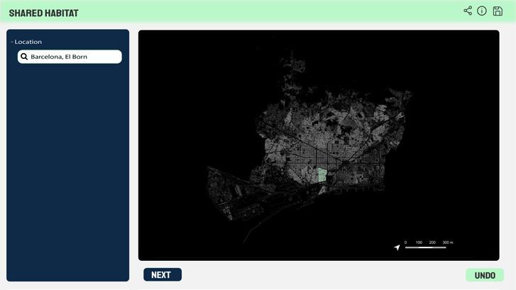
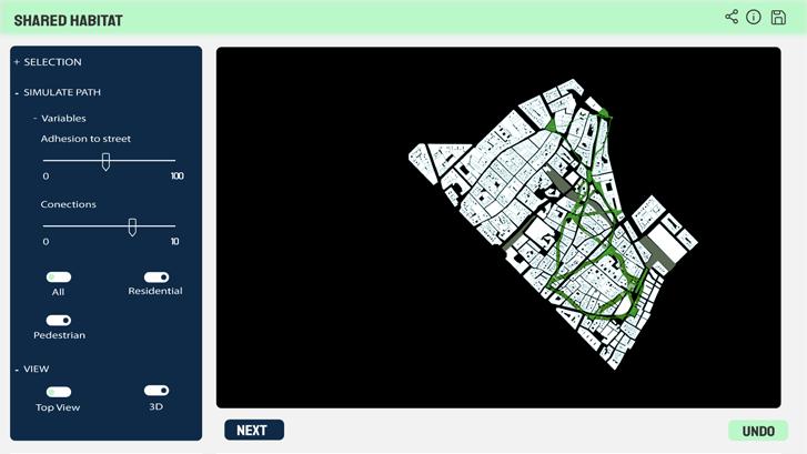
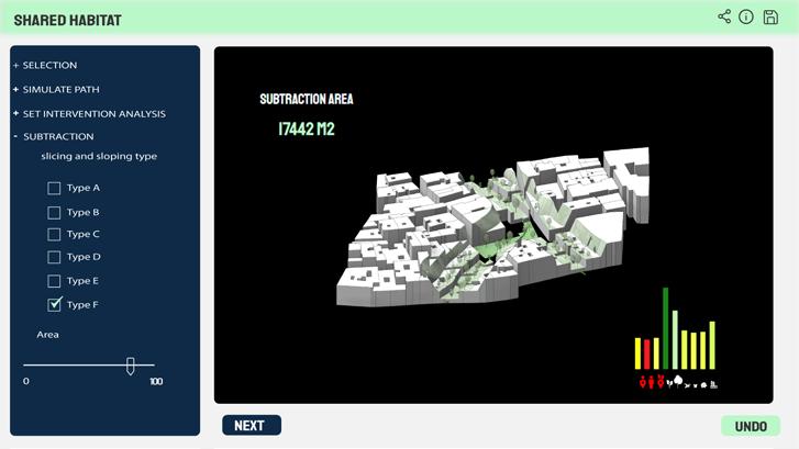
In order to transform our procedures into a tool for planners and decisionmakers, we have integrated these simulations into a single environment through which users may interact with the different variables and generate new scenarios. The User Interface (UI) allows users to select the area of intervention through a map. In a second step, the UI allows the user to select the control points for the path generation simulator. Once the paths are selected, the UI can provide feedback of the areas that will be affected by the new path. (see Image 14) In the second phase of the process, the user is then allowed to control the steepness of the slopes that will cut through the urban fabric. The final part of the process allows users to control the type of plant species that would from the basis of the Occupation simulation. This final process generates the Urban Biodiversity Index (UBI) which is shown as part of the UI. The Interface also allows the user to contrast the original UBI of the site with the simulated UBI, which helps users understand the magnitude, efficacy and efficiency of their interventions.
Advertisement


