1 minute read
General Overview
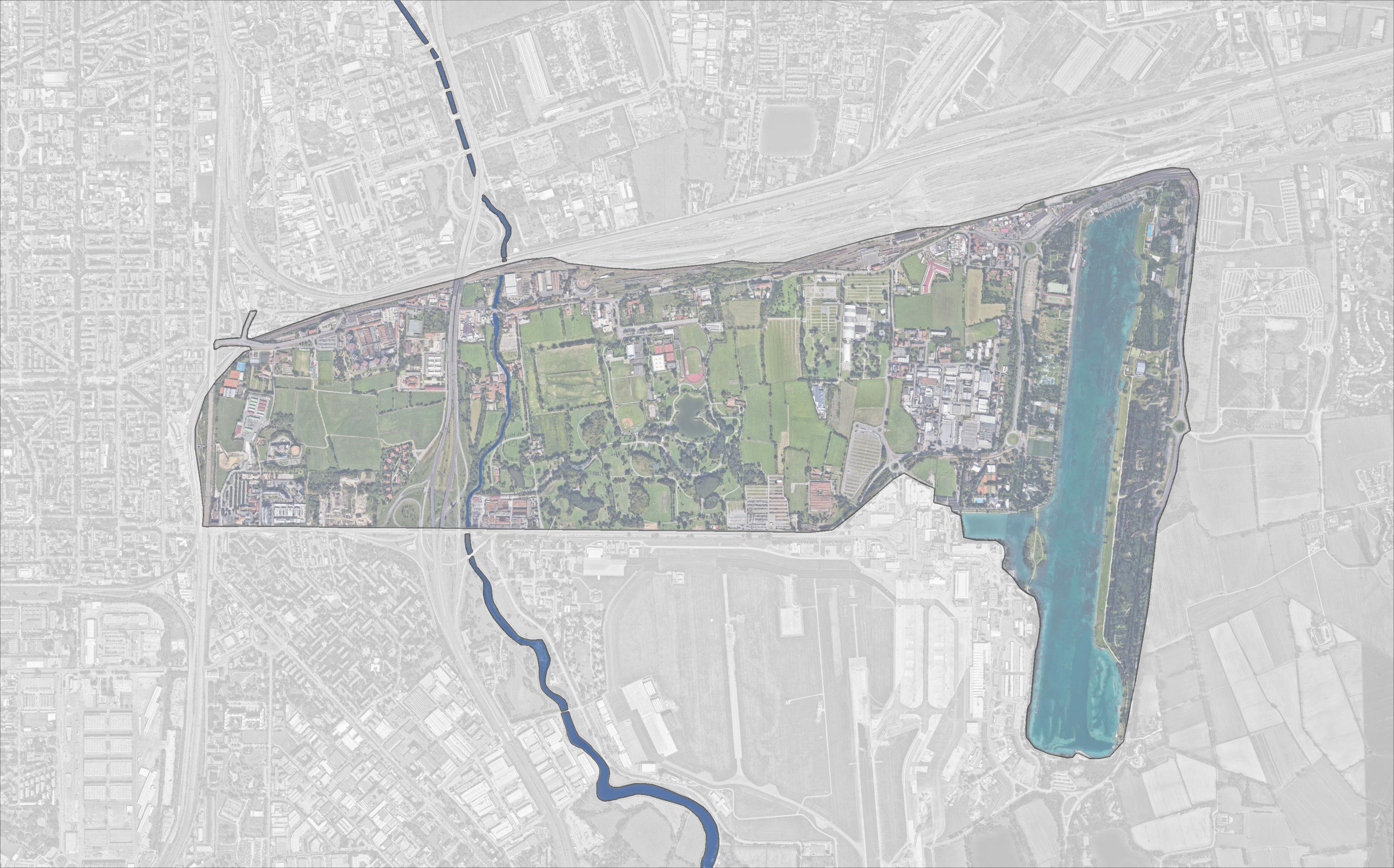
As seen on the map, the area of the proposed Grande Parco Forlanini extends from the eastern side of Milan to the Idroscalo, in the Segrate municipality. The site is a par t of the green belt surrounding Milan, and is also in the course of the Lambro River, which highlights its impor tance as a natural environment in the metropolitan area.
The area’s direct connection to Linate Airpor t makes it a welcoming point for several visitors arriving in the city every year, but it’s still poor public transpor t accessibility hampers the access by local residents. The upcoming metro line M4 is seen as an enhancement tool towards the integration of the site to the rest of the city. Site City border Main roads
Advertisement


IMPRESSIONS
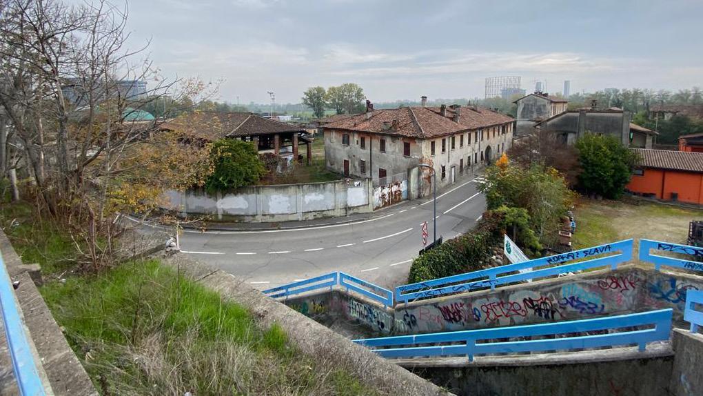
The study area of this project can be understood by its complex narration, with different layers of fabrics and actors overlapping. The pictures above depict some of complexity of the area: a wide open highway and boundless periphery of GPF in south; the under bridge area and Lambro river, two of the major blockers of GPF; the art activities present in the Ortica area; the historic presence of agriculture through cultivation fields and cascinas; the Forlanini Park, an important green area of the city; commercial building complex and many more.


