
2 minute read
THE CAP
A Connective Pathway For Bridging And Capping The Pieces And Communities Back Together
Urban Design
Advertisement
New York, NY, USA May. 2019 Group Work with Zipping Zheng LARP 602
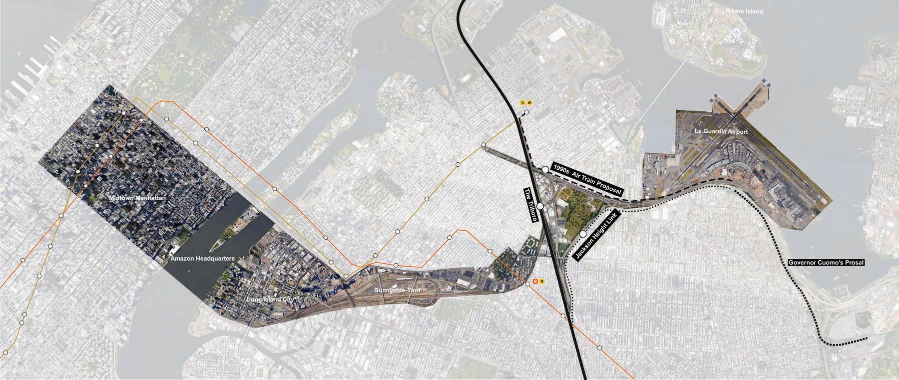
The concept of Tri-boro line was introduced by RPA as the infrastructure investment that directly links the the east borough with the Manhattan-centric subway system. Based on the study of the Tri-boro line, the studio elaborates the dirct impacts of this potential on the neighborhood adjacant to the propsed station stops.
The selected site is in Queens, New York City. It Lies next to St. Michael Cemetery and close to La Guardia Airport and M, R Train Northern Blvd Station. Because of its location within the regional context, our site has great potential to be developed in the future which provide new housing, new working space, new business, and new connections through Tri-Boro line and subway.
Mentor: Nicholas Pevzner
This is a sustainable urban design project that emphasize on greater mobulity, better access to jobs, and opportunities for transit oriented development.
It reconnects the isolated districts and establishes a continues network of public realm and amenities and change it into a destination for both New York city and surrounding neighborhood.
Brooklyn queen expressway as Barrier Grand central Parkway as Barrier


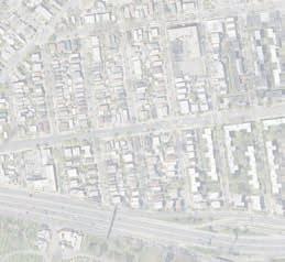
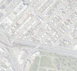




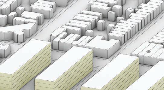
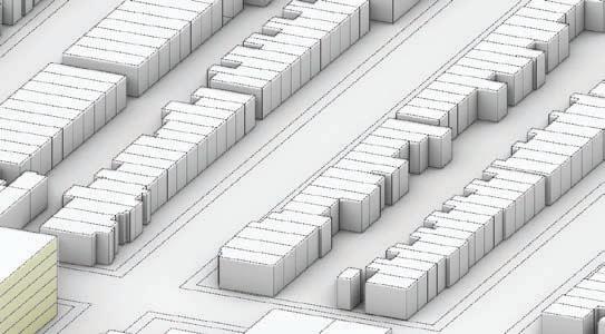
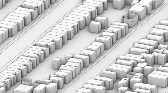
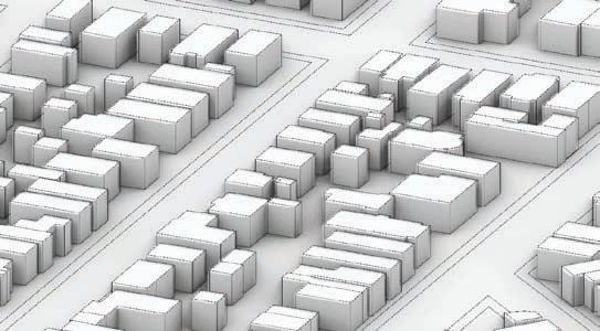
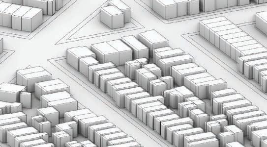


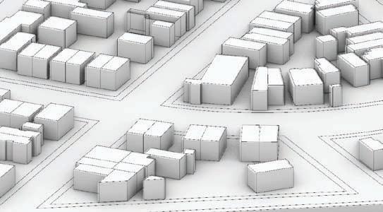
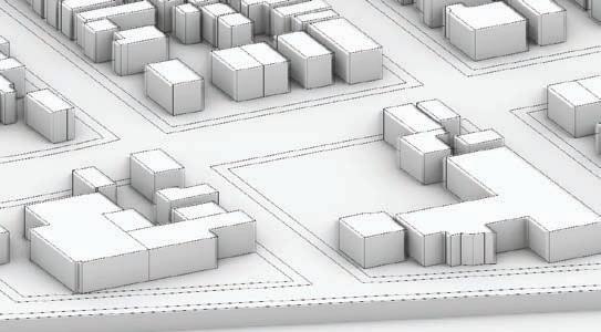
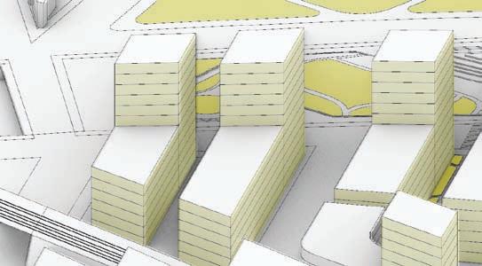
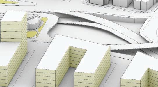


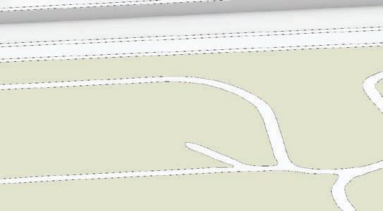

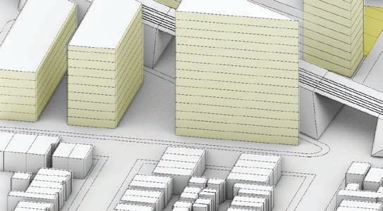


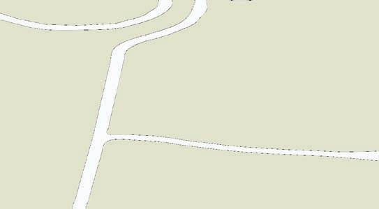
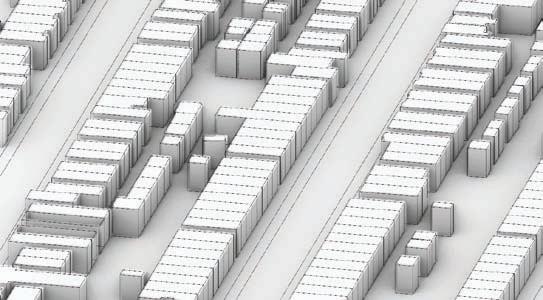


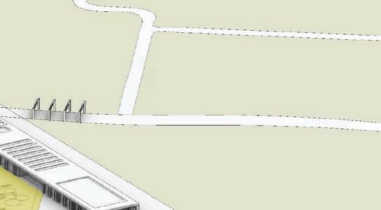


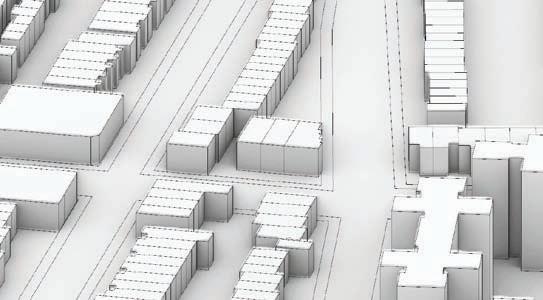
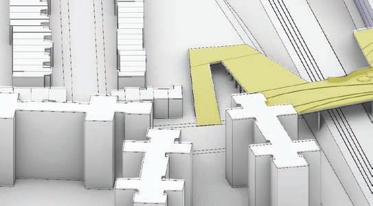


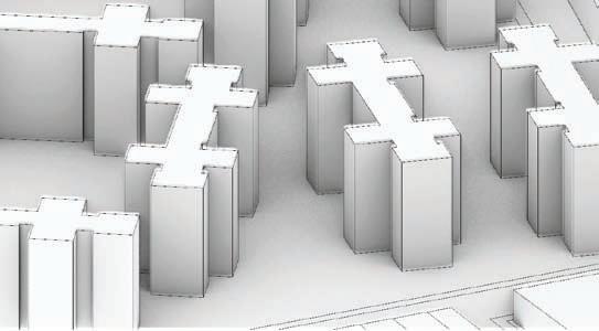


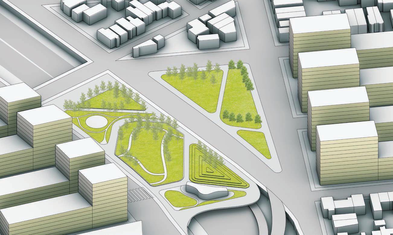
Grand Central Parkway Capping Park - Mixed Use Residential District Development


Cap park connecting isolated neighborhoods by highway.
Cap park creating central public ralm in middle at the heart of the walking system at top of the highway
Plaza Daily use
Mixed Use Development on top of BQE Capping - New Gateway of St.Michael Cemetery
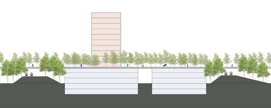


Bridging Park - Auto Industry Cluster - Mixed Use Development - Commercial District
Bridge park over haighway connecting neighborhoods
Plaza Event Time
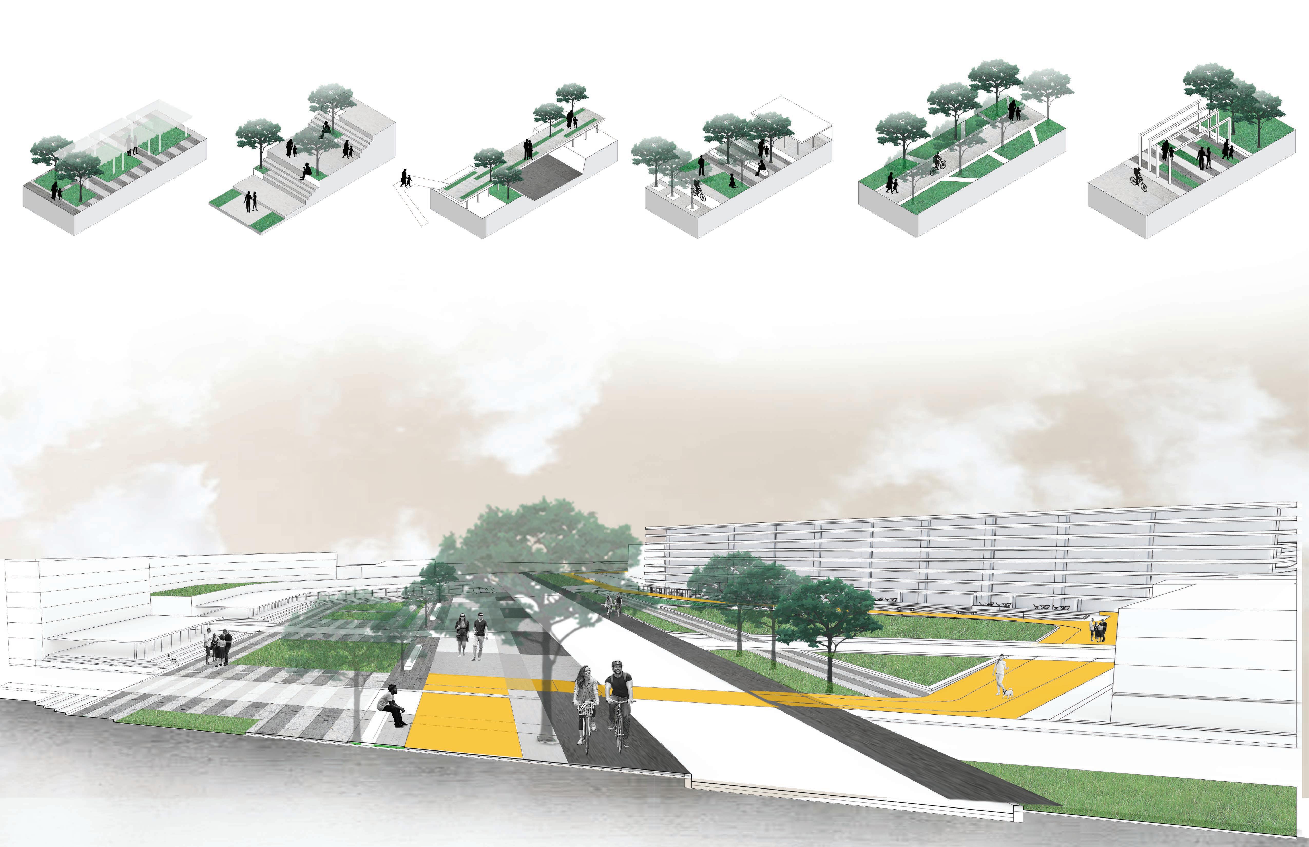
Typology of Open Space
flexible open space for big events corridor +green area corridor+entrance Outdoor seating area stairs+seating area
Central Public Realm and different activity briding park over the highway flexible open space for big events seating area dedicated bike lane continues pathwalk corridor toward the cemetary station big plaza mix-use station buiding
Year 1
Remove solid pavement; excavate wetland; refill peatland; build solid riverbank sow grass and legume sow forest (too small in the begining)
Year 5
Mature wetland; mature peatland; mature grassland; half matured forest to clean air pollution
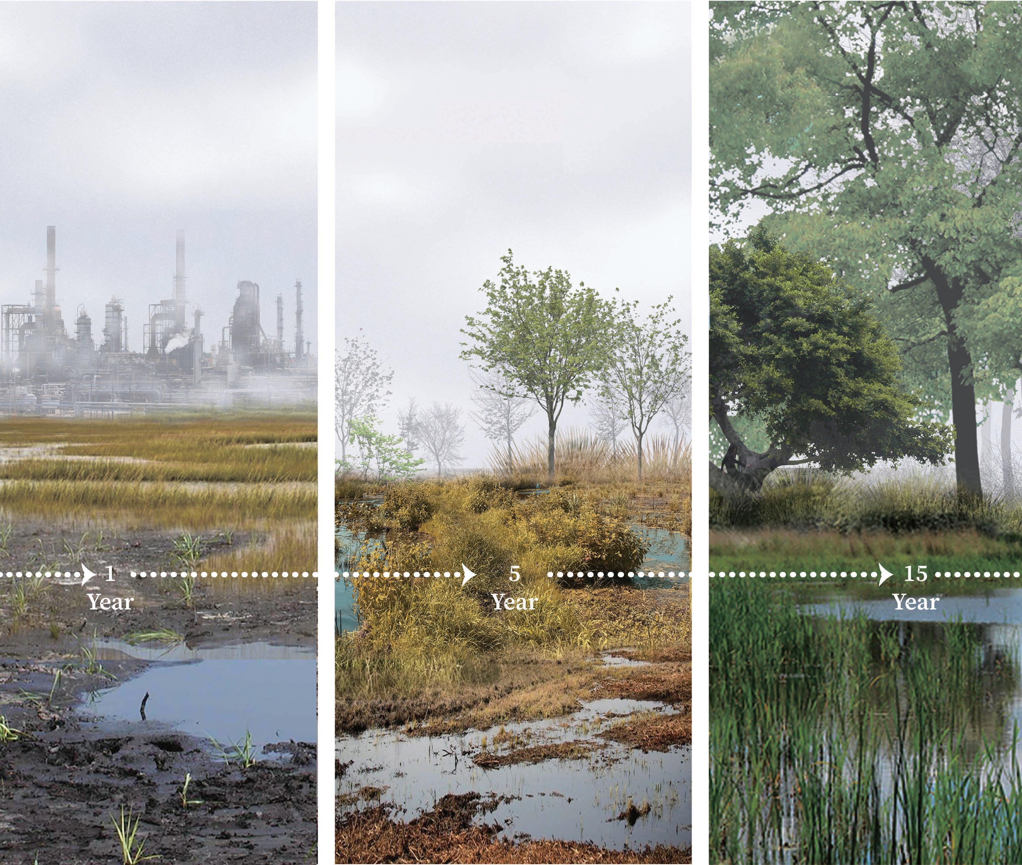
Year 15
Expanded wetland; richer peatland; shrunk grassland with trees
Green X Blue Redefinery

Philadelphia Energy Solutions’ Refinery Complex Competition
Philadelphia, PA
Given the 1300-acre Philadelphia Energy Solutions (PES) Refinery site located along the Schuylkill River in southwest Philadelphia, we reinvisioned the site as a GreenXBlue hub to bring livability to the city as well as creating resiliency in this highly polluted site.
Dec.2020 Team work
The design elements are as follows: Preserve Philadelphia’s post-industrial character through industrial-to-park adaptive reuse approach to transfer NIMBY use into public accessible open space, and interactive wetland parks. Enhance community involvement in the planning procedure of post-industrial transition, bring equity and transparency to the public in the nearby neighborhoods.
Establish an urban framework and transportation network to better connect to nearby neighborhoods and enhance inter-neighborhood circulation. Provide building space for value-added industries, manufacturing and logistics that will enhance Philadelphia’s comparative advantages, boost economy and provide job opportunities for refinery workers and other Philadelphia’s essential workers.


