1 minute read
SafeTravel is Upper Mind
We waited for our pizzas to cook and started analyzing the data to help determine if we were crazy to head off into the unknown.
Safetravel.is said stay away from the eruption until emergency crews could establish a trail, and that the route was steep.Avoid valleys due to noxious gasses.The big red banner did give us pause.
Advertisement
Some resources said the distance to the crater on the trail was 3 miles,while others said 4.5 miles one way.That would mean we would walk 6- or 9-miles round trip. Based on those calculations we would not be back to Reykjavik until 430am — and we had to meet our transfer at 730am to go to the Blue Lagoon, and then to the airport for flights home.
The sunset time was 1030pm.That means we would be walking in the dark.The advantage of hiking in the dark is that the lava would be more brilliant to see.The disadvantage is that it could be hard finding our way back. There were many unknowns. Such as, how many people would be there? Is the trail was marked? Would it be steep, slippery, rocky, flat?The pizzas came.
We took turns reading out loud from different sites any important details that we thought the other should know.AllTrails had a few recent comments including some only hours old. I’m pretty sure when I read out loud anAllTrails
User’s comment that simply said, “worth it,” We agreed to take it one step at a time. If we felt uncomfortable or unsafe,we would abort the mission. I called a taxi.
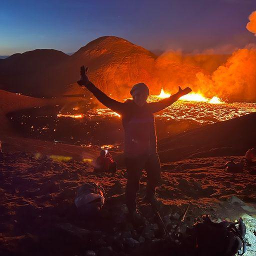
LIt took 50 minutes to get the eruption site parking lot. From Reykjavik, a grey gas plume is visible. We watched it in awe the whole way to Grindivik, the town closest to the activity.The 5 days prior to the eruption, the residents of the town had been enduring 5+ magnitude earthquakes daily. As we drove through the neighborhood, the plume loomed over the mountains, and I wondered what it must be like to live with an active volcano in your backyard.The road soon left the town and entered the hills.


