2 minute read
FIND YOUR WAY: WAYFINDING
HELPING TRAIL USERS FIND THEIR WAY
Better Community Connections Now Possible Through New Wayfinding Signage
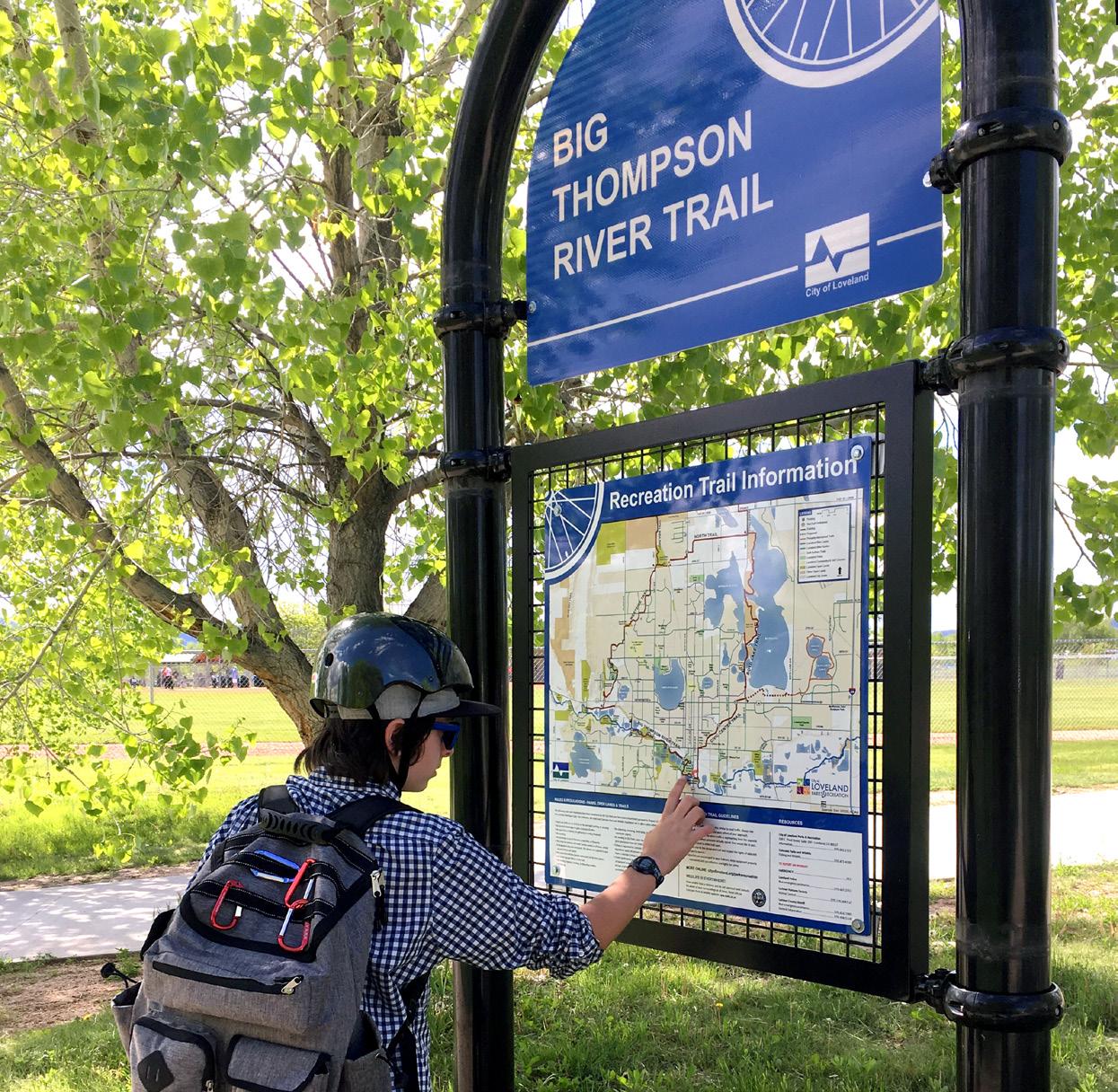
Each year, more than one million people use the Loveland recreation trail, a 23-mile paved trail system in Loveland. Built over 30 years, the trail has been constructed section by section, resulting in some segments of the trail being harder to navigate than others. To remedy this, the Open Lands & Trails Division created new wayfinding signage to better connect the community and help trail users find where they need to go.
GOAL 1: SAFETY OF TRAIL USERS
One goal of the wayfinding project is the safety of trail users and implementing features that improve safety communication through the trail system. Meeting MUTCD (Manual on Uniform Traffic Control Devices) standards, hundreds of new features were installed including directional signage, pavement markings, gates and mirrors and regulatory signage to warn or guide pedestrian and bikeway traffic. Mileage markers also were added throughout the system to not only allow users to measure distance but to provide unique location points for emergency services that are synced to the City’s Emergency Communication System. For the safety of trail users, regulatory and etiquette information was added to trail kiosks, signage and the bikeways and trails guide. Better communication regarding regulations and best practices to accommodate multiuse has resulted in improved compliance and better cooperation between user groups.
GOAL 2 : UNDERSTANDING TRAIL LOCATIONS
The second goal of the wayfinding project was to better communicate with users on locations, i.e., where they are, where they want to get and where they can go. We revamped the City’s bikeways and trails map, which is now available online, in 24 kiosks along the trail system and in a Loveland bikeways and trails map and guide. New wayfinding throughout the 23-mile trail system provides directional, location and distance signage to help users navigate their way and explore new areas of town.
GOAL 3: REMOVE BARRIERS TO CONNECTIONS
The final goal was to remove barriers to having a connected system of bikeways and trails that connect our citizens, locations and neighborhoods. Loveland’s recreation trail loop encircles the town and connects 14 parks and open land areas throughout the community. The signage reinforces the geographical areas of Loveland and the area’s defining landmarks. The new blue color and unique bike spoke logo let the community know they are connected to the Loveland trail system. Etiquette and share-the-trail signs communicate the message that the trail is for everyone and is multiuse.
Loveland’s recreation trail is highly valued by the community and positively contributes to the quality of life locally and in the greater Northern Colorado region. The recreation trail is free of charge and allows for social equity since it is available to all regardless of physical ability or socioeconomic status. The wayfinding project through kiosk and signage invites users to safely utilize this amazing community asset that has been funded over a 30-year period with Colorado Lottery dollars.
NEW RECREATION TRAIL NAMES
• Big Thompson River Trail (Rossum Avenue to South Highway 287)
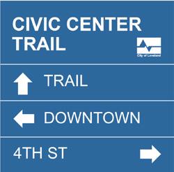
• Civic Center Trail (South Highway 287 to Denver Avenue)
• Boyd Lake Trail (Denver Avenue to County Road 11C)
• North Trail (County Road 11C to Taft Avenue)
• Westside Trail (Taft Avenue to West Highway 34)
• Front Range Trail (County Road 11C north to County Road 60)
• Long View Trail (57th Street & Taft north to Trilby Road - Fort Collins)

Look for the new recreation trail signs throughout Loveland


