WASTELAND: MITIGATING WASTE AND SOCIAL ISOLATION IN COOKIE-CUTTER SUBURBIA
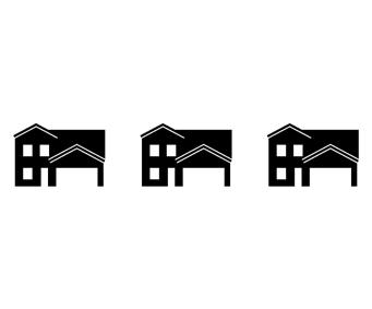
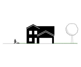
DREW OUSLEYThe uniformity and sprawl of cookiecutter suburban developments produces an exceptional amount of waste in the form of energy, materials, resources, and water, generates unnecessary pollution and emissions, and fosters social isolation rather than community. Housing identical in appearance, size, and price range and private yards of equal size characterize these types of developments. In this type of suburb, the operation, upkeep, and habits constituted by cookie-cutter houses, expansive turfgrass lawns, restrictive street networks, zoning uniformity, and isolating plans generate waste and isolation. Furthermore, these types of subdivisions appear widespread all around the globe and continue to be developed at alarming rates. While these neighborhoods should not necessarily be torn down, and their continued production may be unavoidable, they can be redesigned to drastically cut waste and foster community
among residents. This project addresses a specific neighborhood in the metropolitan area of Cincinnati, Ohio with a series of adaptations and interventions that mitigate waste by reducing energy loads on mechanical systems, water consumption, the use of chemicals on greenspace, the neighborhoods overall carbon footprint, and commute distances. It also introduces multimodal transportation, mixeduse program, new housing typologies, the use of trees and vegetation, a diversity of shared spaces, and proximity. These interventions foster community and a sense of ownership by encouraging residents to leave their homes but stay within the neighborhood. The ambition of this project is to provide inspiration for other adaptations and the designs of future developments as the similarity found in suburbs all around the globe will enable the interventions found in this specific work to easily translate to other developments.