1 minute read
Discover St Lucia


238 square miles Highest point: Morne Gimie, 3,143 feet
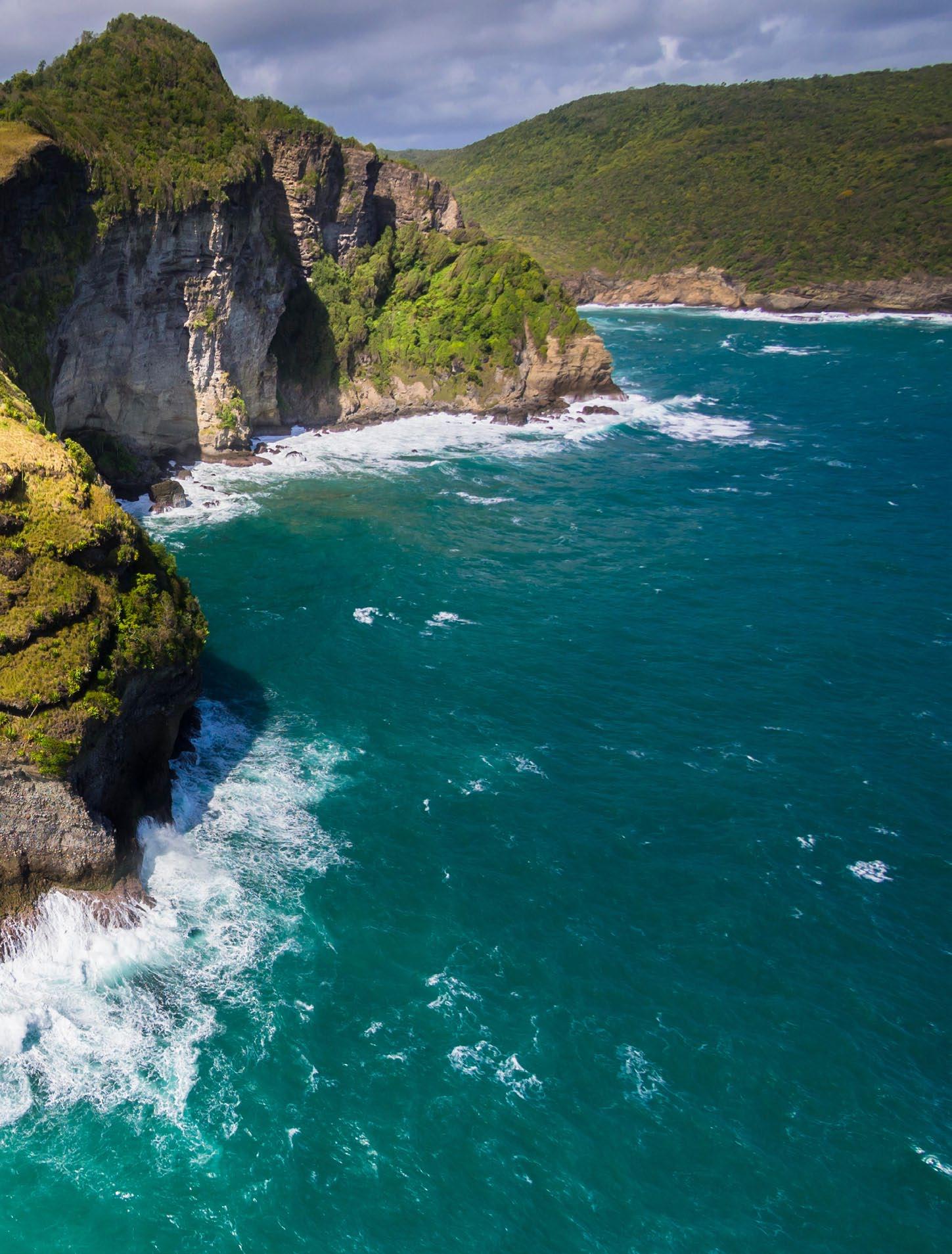
The charming small town of Soufrière on St Lucia’s southwest coast is the gateway to the most picturesque part of the island. To start with, there are the Pitons: two volcanic plugs rising abruptly from the shore, lush forest clinging to their slopes and crevices. Gros Piton, the taller of the two, is the easier to climb, with a challenging but rewarding trail — a four-hour round trip, with St Lucia’s most incredible views at the summit. Not far inland are the Sulphur Springs, in the remains of an ancient volcanic crater. After a day’s hiking, when your muscles are sore, make your way to Diamond Gardens, where pleasantly landscaped grounds lead to outdoor baths with geothermally heated and mineral-rich water from the Diamond River. The most rugged side of St Lucia is the Atlantic coast, a stretch of small bays with crashing waves, and forested hills descending in cliffs. The Maria Islands off the southeast, accessible by boat, are a protected nature reserve, home to St Lucia’s rare endemic snake and lizard — the latter coincidentally sharing the blue, black and yellow of the national flag.
Advertisement
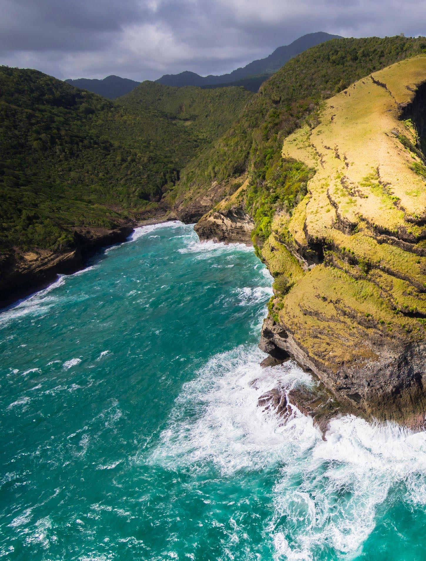
Chaloupe Bay and the wild majesty of St Lucia’s Atlantic coast.
Photo by Westend61 GmbH/Alamy Stock Photo
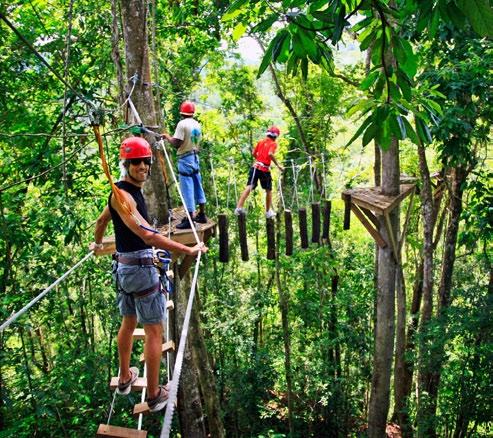
The canopy walkway near Dennery offers a bird’s eye view of the forest.
Photo courtesy St Lucia Tourism Authority