MGS Awarded Mapping Grants
MGRRE Wins NGGDPP Grant
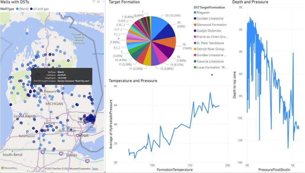
Data Highlight- Drill Stem Tests
Outreach and Education Activities
Women’s History Month – Helen Martin
Legacy Cuttings Curated
Water Well Drillers Training
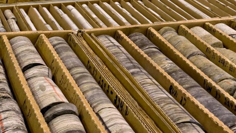
Core Stories – OTT-21-02
Quarterly Updates from the Michigan Geological Survey
Highlights >>>
A Note from the Director
The Michigan Geological Survey (MGS) is continuing to grow and function and has hired additional experienced geologists to support our mapping and research of the glacial and bedrock resources of Michigan. MGS is proceeding with owning our own core repository in Kalamazoo so we can continue to collect and to provide the samples, data and core for industry, academics and society. MGS is applying for additional Federal and other grant funding to present those maps and data as publications to assess our natural resources. As a Survey we are continuing and expanding our partnering with many Universities to develop and present the current and new scientific data. We are reaching out and partnering with existing and new industry entities and professionals to map, assess and develop a scientific plan for a greater geologic understanding to meet the societal needs for carbon and hydrogen storage, critical minerals, water resources and aggregate resources in Michigan. MGS has rejuvenated our CoreKids, K-12 Outreach program to reach out statewide to expose all school systems to geology. The MGS team is also reaching thousands of adults and students through our YouTube videos and social media. MGS has been awarded numerous grants that will provide the initial funding and scientific data needed to make those decisions on climate and protecting our natural resources. Thank you for your support.
~John Yellich
For more information go to https://wmich.edu/geologysurvey https://wmich.edu/michigangeologicalrepository
Core Quarterly

MGS Awarded Two Grants for Continued Mapping
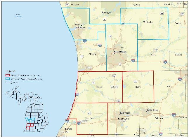
The MGS was awarded $317,392 in matching funds from the STATEMAP Program to conduct surficial geologic mapping in Kent, Montcalm, and Muskegon counties. The USGS also partners and funds the Great Lakes Geologic Mapping Coalition (GLGMC) which aims to advance understanding of the three-dimensional distribution of the glacial, periglacial, and proglacial deposits that overlie the bedrock of the glaciated Midwest. The GLGMC awarded the MGS $62,067 for the conversion of Barry and Van Buren counties surficial geology maps to digital geologic database and the development of web-based map publications for Allegan County’s recently completed surficial geology map. The MGS recently received notice of two United States Geological Survey (USGS) grant awards. The USGS National Cooperative Geologic Mapping Program (NCGMP) STATEMAP program funds state geological surveys to conduct geologic mapping in their state.
Issue 5 Winter
in this issue >>>
MGRRE Wins National Geological and Geophysical Data Preservation Program (NGGDPP) Grant
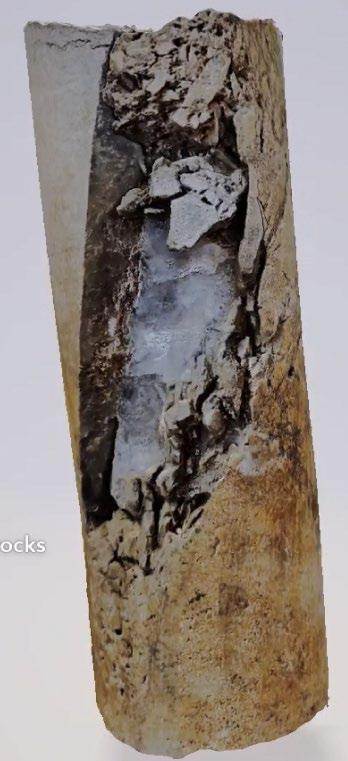
The new project, funded by the United States Geological Survey, aims to continue to preserve geological and geophysical data and information. The project team will 3D scan fossils, samples, specimens, and hundreds of feet of evaporite cores. All files, images, and 3D models will be made publicly available. Images and models will be at high resolution, capturing the details and changes in samples.
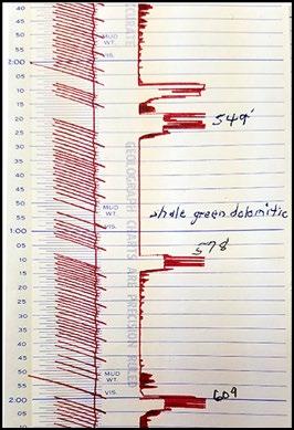
Additionally, the project team will scan historic geolographs (raw drilling records), which are at risk of deterioration. We have records from ~100 oil and gas wells which record the rate-of-penetration in real time at 5-foot intervals.
The project will begin in June, 2024 and span three years.

Drill Stem Tests
. These analyses
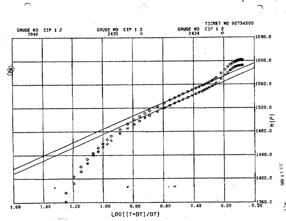
. They can be used to evaluate potential performance of a well, understand porosity type (fractured, matrix, . We have scanned all of the paper copies. If you are interested in a copy of the data, contact us! If you are interested in having the data digitized and want to sponsor a student, contact us!

Key Updates >>>
Summary of drill stem tests including well location, formation targeted, and trends in pressure and temperature Example scanned chart
Photograph of geolograph
Example scanned core
Outreach and Education Activities
CoreKids Breaks Outreach Record!
Written By: Marie Solum
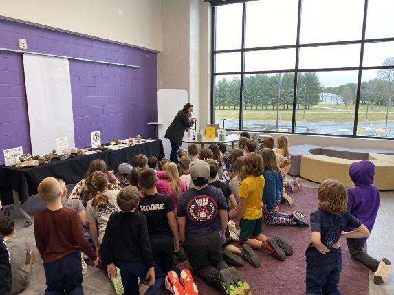
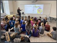
During the first quarter of 2024, the CoreKids Outreach program participated in numerous educational and community events as well as the Michigan Science Teachers Association Annual Conference.
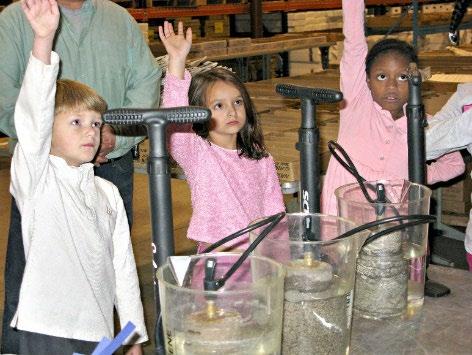
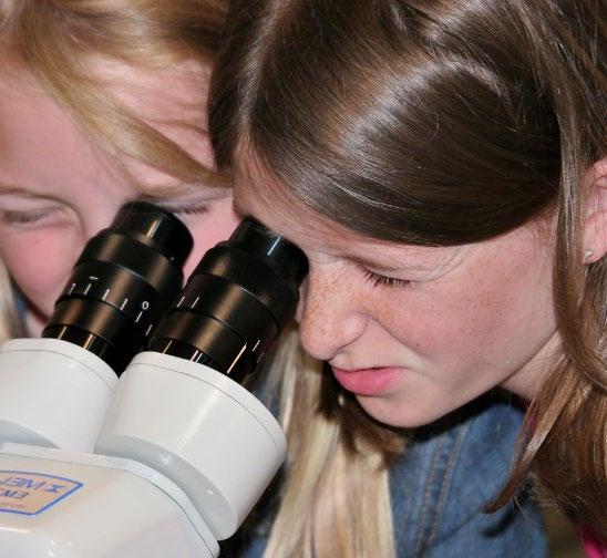
We welcomed 5th and 6th graders from nearby Oakland Academy on a field trip to MGRRE where students learned about the core repository and explored Michigan fossils and our popular groundwater pumps. We visited the third graders at Schoolcraft Elementary where the students were excited to learn about rocks, minerals, fossils and of course try our groundwater pumps! Marie Solum and Matt Bell joined in with the University of Michigan Natural History Museum’s Geology Day which hosted 4th and 6th graders from Ann Arbor and Detroit area schools.
We thank the Missaukee Conservation District for inviting us to their community engagement night where we presented to an enthusiastic crowd about Michigan’s geological history and that of their local Lake City Area.
Both adults and children enjoyed learning how fossils are made with a playdough and plaster of paris activity.
By far our largest event was participating in the MiCareerQuest West Michigan event in Grand Rapids. This event brought together nearly 9,000 local 8th-10th graders at the DeVos Place to expose students to potential STEM careers in high demand industries. The students had a great time exploring our hands-on display of Michigan Geology and other exciting booths with robotics, heavy machinery, agriculture, and healthcare, just to name a few. We are excited to participate in this event next year!
These events reached 9,343 children and 441 adults/teachers this quarter!

New YouTube Series in the Making
The outreach team has been hard at work developing the next series of YouTube videos! We will be walking through the stratigraphic column and showcasing different time periods in Michigan. Be sure to follow along! http://www.youtube.com/@michigangeological survey
Follow MGS on Instagram!
Did you know MGS has an Instagram? We have been posting mini-videos, rock and mineral highlights, staff highlights, and job posts. Be sure to follow along!
https://www.instagram.com/michigangeologica lsurvey/
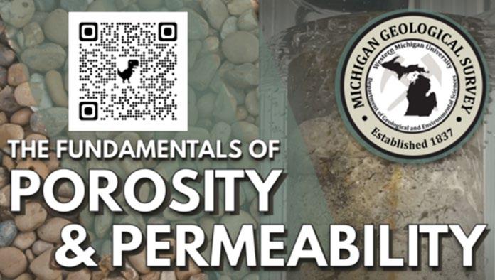
Enhance your classroom’s learning with our hands-on Porosity and Permeability Presentation
With an original concept from Mark Nida of the Michigan Basin Geological Society, and crafted from various Michigan bedrock cores, these models provide a tangible way to explore and understand differences in local rocks, making complex concepts like hydrology and groundwater behavior more accessible and engaging. Accompanied by a free instructional video available via a QR code linking to our YouTube channel this resource is designed to enrich the learning experience for students at middle and high school levels, though it is also suitable and enjoyable for a broader K-12 audience and the general public. The video can be used as a standalone educational tool, but it pairs excellently with the physical model presentation for a more comprehensive learning experience. Additionally, this presentation can make these concepts particularly accessible to students and individuals with visual impairments or blindness by allowing for tactile processing. We offer regional visits and events featuring these models, as well as classroom visits (contact: Marie Solum).
Outreach and Education Activities
Geoscience Career Development Workshop with University of Michigan
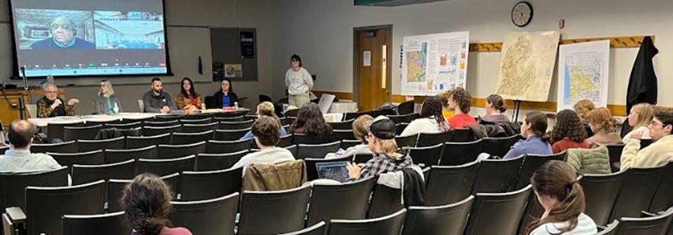
In an event that underscores the importance of bridging academic knowledge with real-world applications, the Michigan Geological Survey recently visited the University of Michigan’s Department of Earth and Environmental Sciences. Organized by Tara Lonsdorf, a doctoral candidate and member of the university’s geology club, the event featured an engaging career panel aimed at providing students with a deeper insight into various careers in the geosciences. MGS was represented by four staff members: Marie Solum, Director of Outreach and proud University of Michigan alumna; Garrett Ringle, a Geosciences Specialist known for his geological mapping; Evie Murgia, Hydrogeologist and student employee mentor; and John Yellich, Director of MGS, who brought his extensive experience in geological surveys to the discussion. Prior to the career panel, this team engaged in in-depth discussions with faculty, graduate students, and post-docs about a myriad of topics ranging from admissions and academic programs to local geology and employment opportunities in the field.
Joining the MGS team on the panel were two other earth science professionals: Brie Farina, a Science Communications Specialist from the National Oceanic and Atmospheric Administration, and George Davis, Director of Public Affairs and Safety at the Detroit Salt Company. George, a member of the Michigan Basin Geological Society a frequent collaborator with MGS brought a unique industry perspective to the discussion. Together, the panel provided an opportunity for students to ask targeted questions about navigating their future careers in Earth Sciences. Topics ranged from academic advice, such as which courses would be most beneficial, to practical employment guidance on securing jobs and excelling in interviews. The panelists also shared their personal experiences and ethical perspectives on working within the geosciences, shedding light on the often-complex nature of their roles and responsibilities. One of the highlights of the event was the panel's openness about current job openings for students and recent graduates, ensuring attendees were aware of immediate opportunities to apply their skills in meaningful ways. The panelists emphasized the importance of research experience and how it can be a crucial differentiator in the competitive job market.
Feedback from students and staff was overwhelmingly positive, with many expressing gratitude for the insights and advice they received. The event not only provided clarity and guidance for students at a crucial juncture in their academic careers but also strengthened the collaboration between the University of Michigan Department of Earth and Environmental Sciences and MGS.
This partnership continues to foster an environment where academic pursuits and professional realities converge, ultimately enriching the educational landscape for aspiring geoscientists. We look forward to continuing collaboration with the University of Michigan and other institutions, preparing the next generation of geoscientists. If your institution or group is interested in organizing a similar event, please do not hesitate to reach out to us.
Carbon Capture, Utilization, and Storage in
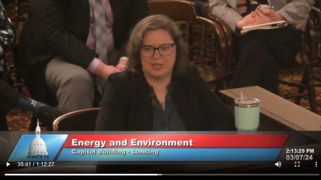
Dr. Autumn Haagsma testified to Michigan senators and their Energy and Environment Committee. She introduced the concepts of CCUS, risks, and our research to advance CCUS in Michigan.
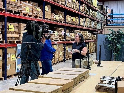
She was later interviewed by WoodTV 8 about a recent big win for a joint direct air capture project with the Department of Chemical and Paper Engineering. The project is led by Dr. Mert Atilhan to further develop direct air capture technology. Dr. Haagsma and her team will collaborate to optimize siting of the technology.
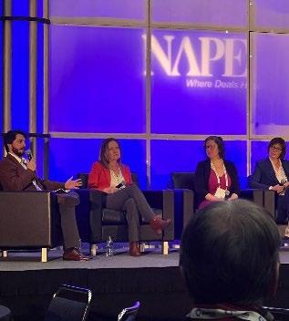
Additionally, Dr. Haagsma was a guest panelist at NAPE in February discussing risk metrics for assessing CCUS. She then co-chaired the CCUS conference in March, which had ~1,700 attendees from around the world. She was interviewed by OGGN for upcoming podcasts (summer release!). More updates on CCUS news can be found at:
https://sites.google.com/wmich.edu/miclimateandenergyresear ch/home/news-and-updates/
the News!
Photo credit: University of Michigan Geology Club
Outreach and Education Activities
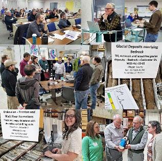
Sharing Research Results, Cores, and Data with Visitors
MGRRE welcomed student groups and geologists from industry, government, and academia to visit the lab and share research results, cores and data.
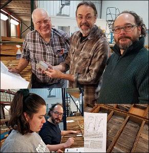
International visitors After seeing MGRRE researchers’ published research work about chronostratigraphy-dating using carbon isotopes, zircons and conodonts, researchers from Belgium and USA surveys came to MGRRE to examine and sample cores for their own research—using Chitinozoans to provide further time zone delineation worldwide to these Lower Silurian formations.
Professional Coalition 35 members from 7 states of the Great Lakes Geologic Mapping Coalition met here for several days to review mapping updates, discuss drilling techniques, and accomplishments, as well as to examine cores.
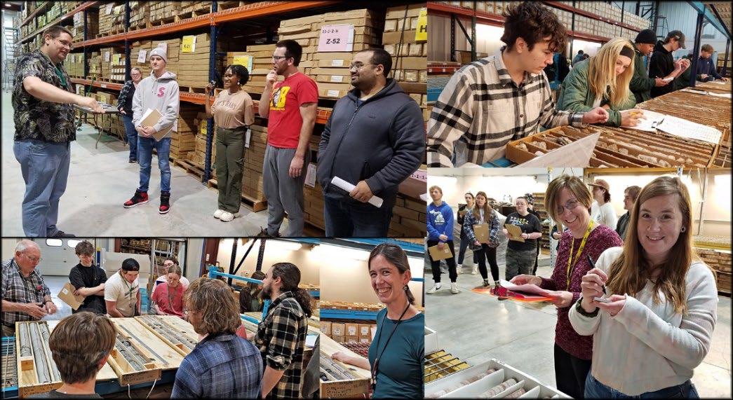
Class members from K-12 through higher education—The next generation of geoscientists came to examine and describe subsurface cores and data at WMU, the only university in Michigan that archives subsurface geological samples.
Triage Team is Hiring!
The Michigan Geological Survey (MGS) is seeking qualified and skilled individuals for a research assistant position. REMOTE WORK. This is great opportunity for anyone in earth and environmental sciences, looking to bolster their resume or work a flexible schedule while doing something that directly impacts the health of their community.
You can learn more about the Triage project, and virtually meet some of our current team members on the Michigan Geological Survey YouTube channel.
 Upper left to right: Bill Harrison, Patrick McLaughlin, and Thijs Vandenbroucke; Lower left to right: Carolina Klock and Thijs Vandenbroucke
Photos from GLGMC Meeting
Upper left WMU Dr. Voice's class; Upper right, MSU Dr. Krans’ class; Lower left, Dr. Marshall Albion class; Lower right, WMU Dr. Petcovic class
Research
Michigan
Go to this Sway
Assistant (I) Job Posting
Geological Survey (via Western Michigan University)
Celebrating Helen Mandeville Martin for Women’s History Month
Written By: Shelby Hurst
In honor of Women’s History Month this past quarter, we celebrated women in geosciences on our social media. One in particular, Helen Mandeville Martin, was a fundamental part of our history here at the MGS with 30 years of work at the survey. Her work is widespread throughout Michigan geological literature, and there’s a chance you’ve seen some of it without knowing that it was hers.
Helen was born in North Dakota, but eventually moved to Michigan where she attended the University of Michigan to study chemistry and geology. She received both her bachelor's and master’s degrees during her time in Ann Arbor and taught at a high school in Battle Creek between her degrees.
The University of Michigan organized a survey of women in its early years, where Martin was asked her favorite memory of her time at school. Her reply, “the snowy winter morning when President Angell [University President] stopped me and called me by name - how did he ever know the name of obscure me?” This is a testament to her humility as she was starting out and perhaps a foreshadowing of all the great work she would do over her lifetime.
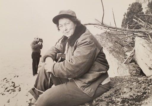

Martin worked for both the Geological Survey Division of the Michigan Department of Conservation from 1917 to 1923 (now known as DNR) and what is now the Michigan Geological Survey from 1934 to 1958. During World War II, Martin was known effectively as the acting director of the Survey when male staff were drafted to go to war, although she never formally received the title. During her career, Martin was a well renowned geologist, researcher, cartographer, historian, writer, public educator, lecturer, conservationist, and teacher. She and Tara Straight wrote the Index of Michigan Geology published in 1956, a compilation of bibliographies, maps, and nomenclature for the state of Michigan. She additionally spearheaded the development and publication of two major maps – including the centennial geological map of Michigan (1936) and surface formations of Glacial features in Michigan’s Lower Peninsula (1955) both of which are still in use today assisting in mineral resource location and extraction across the state.
Martin wrote over 80 books and articles on the topics of natural resources, energy, Michigan geology, and Michigan history. You may have even come across her book Rocks and Minerals of Michigan. She also worked on the first series of county-based, Michigan geology booklets. She initially produced one for the entire state in 1952 and went on to produce county booklets for Kalamazoo, Ogemaw, Grand Traverse, Hillsdale, Saginaw, Branch, Mecosta, Ottawa, Ingham, Lenawee, Midland, Roscommon, and Shiawassee counties between 1957 and 1958. Most of these booklets are now housed at MGRRE.
In some of her writings, she showcased women educators in STEM and encouraged women to enter the field of geology during a time where the field was primarily male-dominated. She aimed to make science more accessible for everyone, but especially women, and
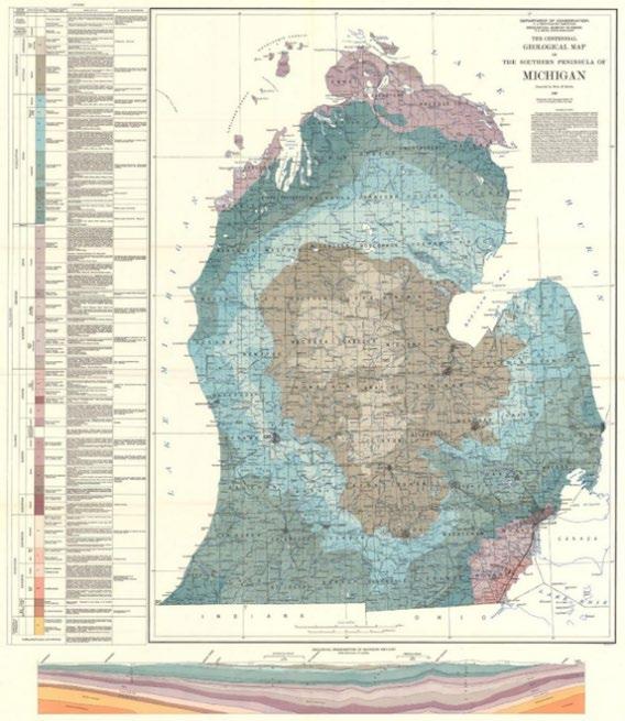
specifically, women in Michigan. As an avid historian and dedicated geologist, Martin saw value in, and transcribed, hundreds of pages of field notes from various Geological Survey Staff members’ journals. These transcripts were donated to the Geosciences department at WMU and are also currently housed at MGRRE. Martin is pictured here with Drs. William Brueckheimer (Geography) and Lloyd Schmaltz (Geology) looking at one of these transcripts.
In her retirement, Martin was the chairwoman for the National Council of State Garden Clubs from 1958 to 1964 and assisted in the foundation of a conservation school in Higgins Lake, Michigan. For her work in conservation, she received awards from the US Dept of Health, Education and Welfare, Public Health Service, US Forestry Service, and American Forestry Association. She was featured in Who’s Who and Men in Science. In 1988, Martin was inducted into Michigan Women’s Hall of Fame with a Life Achievement Award.
Helen Martin was and is a role model for women in the geosciences. The work she did for the state and the Survey is invaluable to the generations that followed her.
Legacy Cuttings Curated
Written by: Linda Harrison
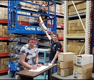
The MGRRE team reboxed 13,000 boxes of cuttings from more than 5,000 wells, drilled primarily from the 1930’s through the 1990’s. Most of the cuttings are from oil and gas wells. Many boxes had suffered from water damage and poor conditions before arriving at MGRRE. We repaired or replaced damaged boxes, retaining original data. Through funding from the USGS/NGGDPP, we have archived these smaller boxes into new larger boxes and updated our inventory. Some cuttings boxes had very little information written on the outside, but we were able to find more details from the cuttings envelopes inside the boxes. Finding that information, we now know that among those wells, we have cuttings samples from at least 700 stratigraphic test wells, drilled in the late 1940’s and early 1950’s. Often these cuttings provide the only publicly available geological data from these early geologic test wells


“Data are the lifeblood of science and the key to understanding this and other worlds. As such, . . . they are a critical natural resource and must be protected, preserved, and made accessible to all people for all time."
~ National Research Council, 1995
Surprisingly, we also found paper well records in some boxes, including original geolograph charts, made while the wells were being drilled. As another part of this project, we had originally proposed to scan all our geolograph charts. So, finding these records was very timely. After scanning all these charts, we will make them digitally available at ScholarWorks. When we started this cuttings work, our only intention was to preserve and better document these samples. Through this work, we also found some unexpected and very welcome associated legacy data that we can now make freely accessible. This is one more example of what we have experienced since we started the Repository in 1982. The more we look at old data, the more we find new data.
Research
Findings
Water Well Drillers Sample Description Training
Written by: John Yellich
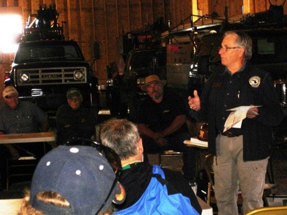
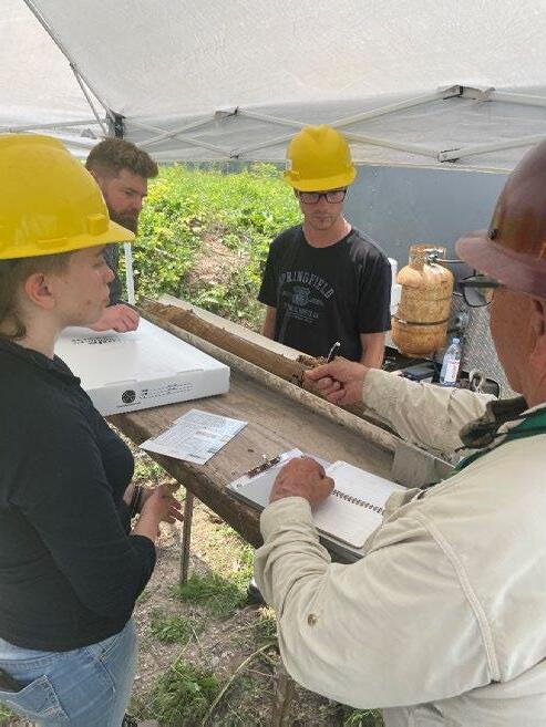
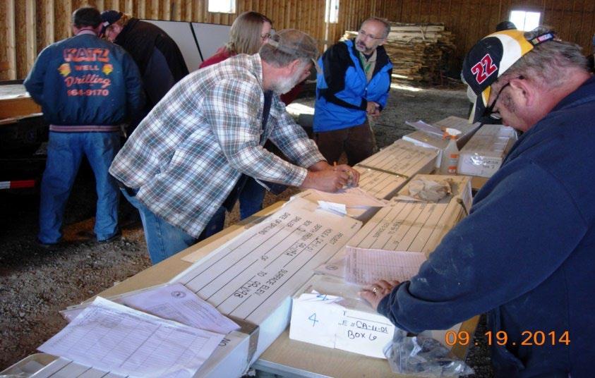
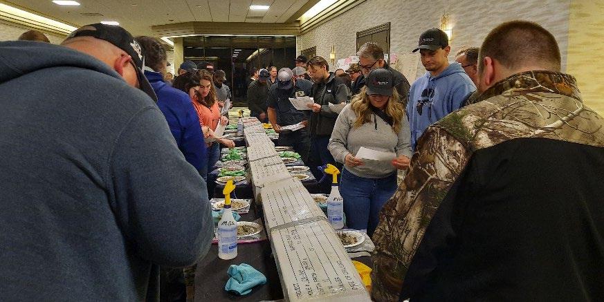
The trainees are instructed how they should describe the materials in the paper plates sitting on the table and put into a paper log for 13 different samples using Wellogic terminology. When completed, MGS opens the core boxes to present what the material looks like in solid form.
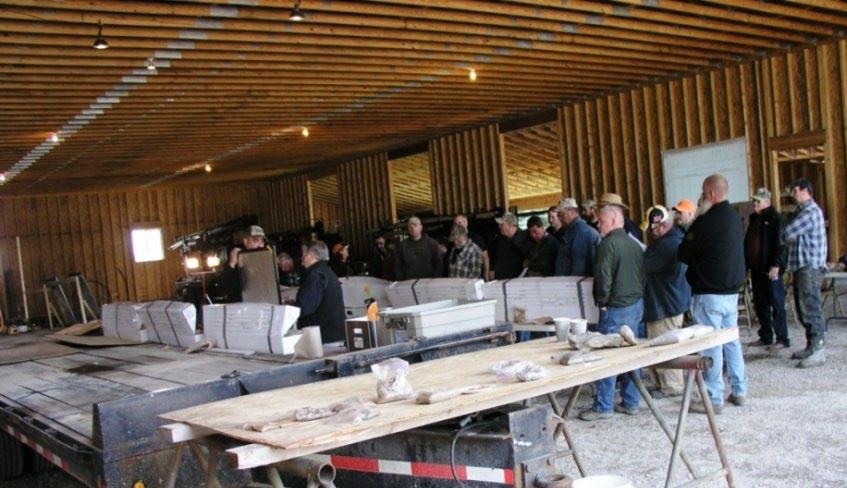
First regional drillers workshop September 2014 in Alpena and there were over 80 attendees, drillers, health department and DEQ water division staff.
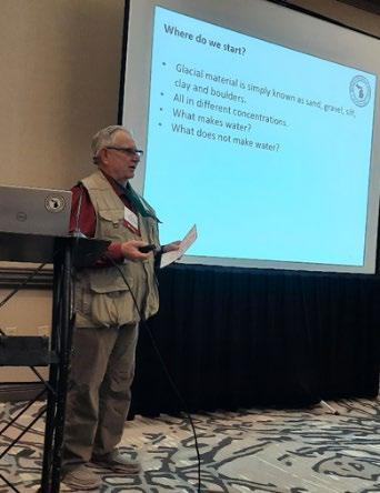
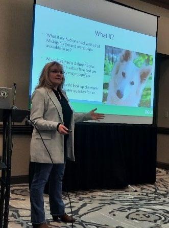
Michigan Geological Survey (MGS) began in 2014 to provide the Michigan Groundwater Association (MGWA) drillers sample description training, to elevate the quality of the sample descriptions being placed into Wellogic. 2024 is the 7th Annual meeting that MGS teams with the EGLE Drinking Water Division (DWD) on presenting the value of completing the Wellogic forms correctly and inputting quality sample descriptions of the drill cuttings into Wellogic. MGS presents the history of mapping the glacial geology and how the well data can improve the information provided to all users of Wellogic data, from locating a well on your property, to drilling a well in the area, to managing the water flow across a county, to sampling certain wells for contamination, all this data supports public and private health and groundwater
Research Findings
MGS has trained over 300 drillers and health department staff in the training workshops.
John Yellich Instructing at 2014 Training
John Esch Instructing at 2014 Training
John Yellich (left) and Sara Pearson (right) Instructing at 2024 Training
2024 Workshop Trainees
2014 Workshop Trainees
Core Stories
OTT-21-02
Zealand Township Ottawa County
Written and Interpreted by: Nathan Erber
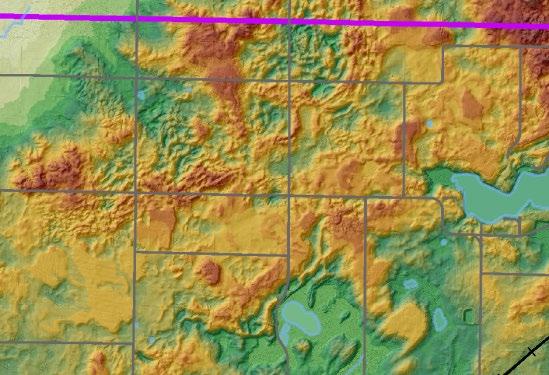
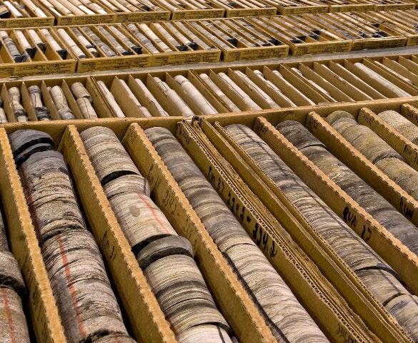
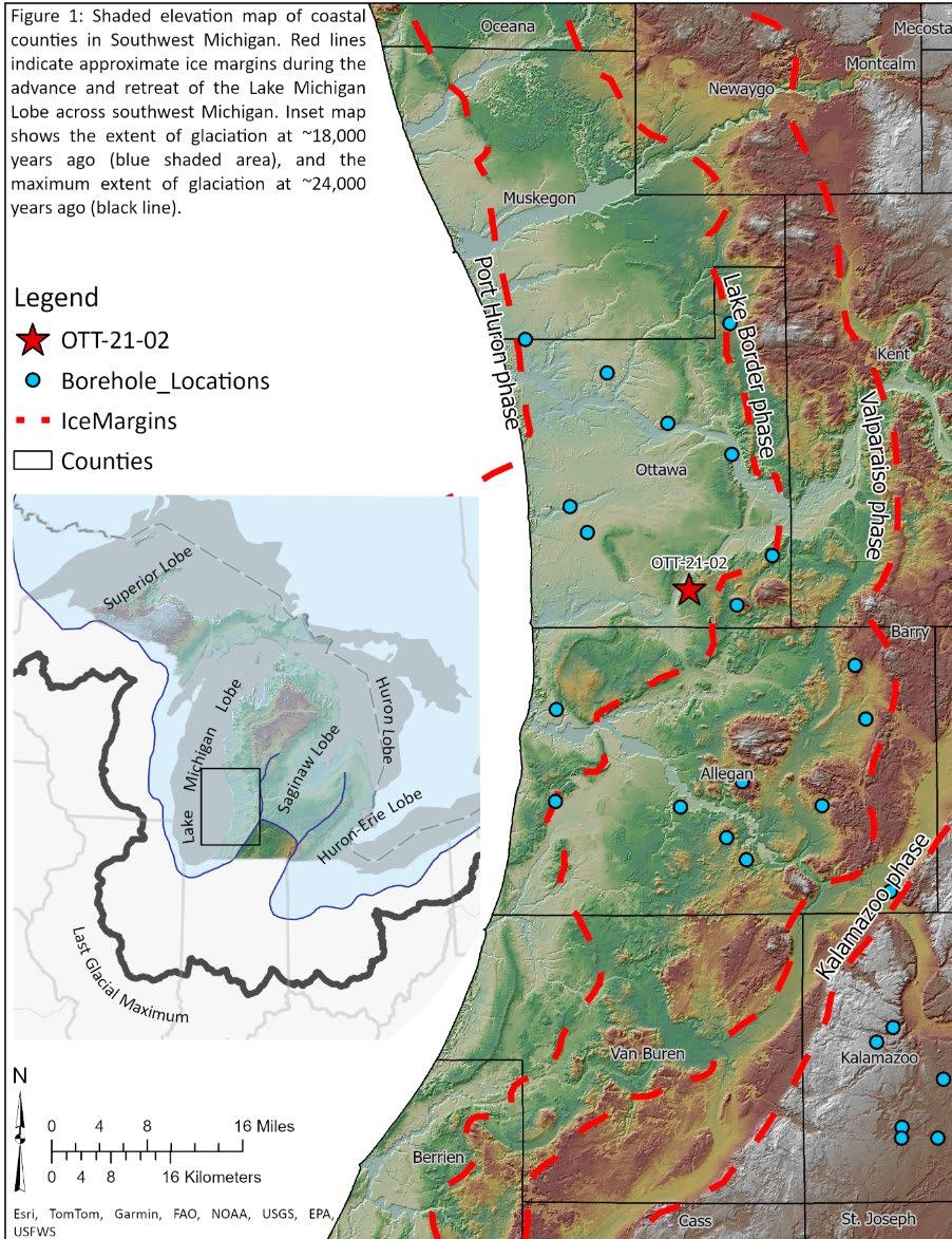
Counties contiguous with Lake Michigan in southwestern Michigan are comprised of a complex glacial landscape shaped largely by the Lake Michigan Lobe (LML) of the Laurentide Ice Sheet (LIS) during the Wisconsin glaciation (MIS-2). The LML advanced out of, and retreated into, the Lake Michigan basin multiple times during the last glaciation (~32,000 to 11,700 years ago; Larson 2011; Curry et al., 2011). The maximum extent of the LML is generally marked by the Kalamazoo moraine and outwash complex (Figure 1). To characterize these complex deposits the Michigan Geological Survey (MGS) has been mapping the surficial geology throughout this region (Colgan et al., 2023, Gillespie et al., 2022). As part of these mapping efforts, the MGS has collected a series of continuous cores of glacial sediments from the surface to bedrock. The purpose of collecting these cores is to better understand the sequence of glacial sediments associated with LML. A core collected near Zeeland Michigan (OTT-21-02; Figures 1 – 3) is a good example of the stratigraphy commonly encountered in the LML terrain in these coastal counties.

References: Colgan, P.M., Erber, N.R., Esch, J.M., Yellich, J.A., Anderson, G.P., 2023, Surficial Geology of Allegan County, Michigan, Michigan Geological Survey - Western Michigan University, Surficial Geologic Map Series SGM-23-01, 1:62,500 Scale, September 2023.
Colgan, P. M., New Insights into the subsurface Quaternary Geology of Ottawa County, Michigan, MSU Quidders Seminar, Fall 2022.
Colgan, P.M., Vanderlip, C.A. and Braunschneider, K., 2015, Athens Subepisode (Wisconsin Episode) non-glacial, and older glacial sediments in the subsurface of southwestern Michigan, U.S.A. Quaternary Research, v. 84(3), p. 382-397.
Curry, B.B., Grimley, D.A., McKay, E.D., 2011. Quaternary Glaciations in Illinois. In: Ehlers, J., Gibbard, P.L., Hughes, P.D. (Eds.), Quaternary Glaciations — Extent and Chronology: A Closer Look Developments in Quaternary Science. Elsevier Science, Amsterdam, pp. 467–487.
Figure 1: Shaded elevation map of coastal counties in Southwest Michigan.
Well
Figure 2: Description and gamma-ray log
of OTT-21-02

Core Stories
OTT-21-02
Zealand Township Ottawa County
Written and Interpreted by: Nathan Erber

Three till units have been identified and described in the surface and subsurface throughout the LML terrain in southwest Michigan (Gephart, 1982; Kehew et al., 2005). The type-section for these three till units is located at an exposure near Glenn Shores, Michigan (Figure 3; Gephart, 1982; Monaghan 1990), and newer subsurface units are described in a core drilled in southwest Ottawa County (Colgan et al. 2015). The surface till that covers the Valparaiso and Lake Border moraines and uplands is the Saugatuck till (uppermost diamicton in Figures 2 – 4). The Saugatuck till is a fine-grained, silt-rich diamicton that commonly contains interbeds of glacial lake sediment. In the type-section at Glenn Shores, and in most of the coastal counties in southwest Michigan, the Saugatuck till is covered by an unnamed unit of glaciolacustrine sand, silt, and clay deposited in Glacial Lake Chicago. Below the Saugatuck till is another unnamed glaciolacustrine unit of sand and fines deposited in Glacial Lake Milwaukee (upper clay and sand in Figures 2 – 4), which separates it from the underlying Ganges till (lower diamicton in Figures 2 – 4). The Ganges till is commonly slightly sandier than the overlying Saugatuck till and contains more gravel and much less glacial lake sediment. Underlying the Ganges till is a silty sand unit or gravel with organics and wood of the Port Sheldon Formation (Colgan et al. 2015) that separates it from the underlying Hemlock Crossing till (Colgan et al. 2015) and Glenn Shores till (Monaghan 1990).
References Cont.:
Gephart, G.D., 1982. Differentiation and Correlation of Till Sheets Using 7A/10A x-Ray Diffraction Peak Height Ratios, Allegan County, Michigan. Unpublished M.S. Thesis. Michigan State University, Department of Geology, East Lansing, MI. Gillespie, R., Yellich, J. A., Esch, J. M., Anderson, G.P., Colgan, P.M., Linker, J. S., Larson, G. J., 2022, Surficial Geology of Ottawa County, Michigan, Michigan Geological SurveyWestern Michigan University, Surficial Geologic Map Series SGM-22-01, 1:62,500 Scale, December, 2022
Kehew, A.E., Beukema, S. P., Bird, B.C., and Kozlowski, A.L. 2005, Fast flow of the Lake Michigan Lobe of the Laurentide Ice Sheet: evidence from sediment-landform assemblages in southwestern Michigan, USA, Quaternary Science Reviews 24 23352353.
Larson, G.J., 2011. Ice-margin fluctuations at the end of the Wisconsin Episode, Michigan, USA. In: Ehlers, J., Gibbard, P.L., Hughes, P.D. (Eds.), Quaternary Glaciations – Extent and Chronology: A Closer Look. Developments in Quaternary Science. Elsevier Science. Amsterdam, pp. 489–497.
Larson, G.J., Monaghan, G.W., 1988. Lake phases and glaciofluvial sequences of the Lake Michigan Basin: southwestern Michigan. In: Midwest Friends of the Pleistocene Field Conference Guide, May 21–22, 1988. pp. 1–14.
Monaghan, W.G., 1990, Systematic variation in the clay–mineral composition of till sheets; evidence for the Erie Interstade in the Lake Michigan basin. In: Schneider, A.F., Fraser, G.S. (Eds.), Late Quaternary History of the Lake Michigan Basin. Geological Society of America, Boulder, Colorado, pp. 43–50.
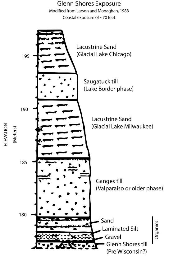
exposure
Figure 3: Core description and core photographs of OTT-21-02
Figure 4: Interpreted stratigraphy of coastal

Geologist
269-387-8691
William.Harrison_III@wmich.edu
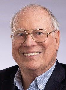
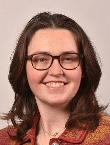
Evangelia Murgia Research Associate Hydrogeologist
269-387-8606
Evangelia.M.Murgia@wmich.edu
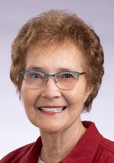
Linda Harrison Administrator Geologist Industry Outreach Coordinator 269-387-8642
Linda.Harrison@wmich.edu
Upcoming Events
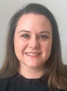
Marie Solum Outreach Coordinator Geologist/Teacher 269-387-8608
Marie.Solum@wmich.edu

Nathan Erber Senior Research Associate Geomorphologist 269-387-8604
Nathan.R.Erber@wmich.edu
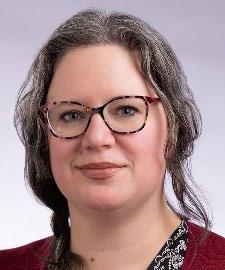
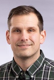
Jennifer Trout Research Associate Geologist MGRRE Collections Manager 269-387-8633
Jennfier.L.Trout@wmich.edu
Peter Voice Research Associate Teaching Faculty Specialist 269-387-5486
Peter.Voice@wmich.edu
Ashley Quigley Senior Research Associate Precambrian Geologist 269-387-8634
Ashley.Quigley@wmich.edu
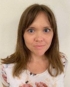
Garrett Ringle Research Assistant Geologist 517-677-6367 (M) Garrett.Ringle@wmich.edu

Gregory Anderson Research Associate GIS Specialist 269-567-8742 Gregory.Anderson@wmich.edu
Amber Conner
Senior Research Associate Paleozoic Geologist 269-387-8641 Amber.Conner@wmich.edu


Nolan Gamet Research Assistant Geologist 969-412-0723 (M) Nolan.Gamet@wmich.edu

Sophia White Triage Project Manager Geologist 269-387-5486 Sophia.F.White@wmich.edu

Jessica Meskil Administrative Assistant 269-387-5486 Jessica.Meskil@wmich.edu

Find us across multiple platforms!


 Upper left to right: Bill Harrison, Patrick McLaughlin, and Thijs Vandenbroucke; Lower left to right: Carolina Klock and Thijs Vandenbroucke
Photos from GLGMC Meeting
Upper left WMU Dr. Voice's class; Upper right, MSU Dr. Krans’ class; Lower left, Dr. Marshall Albion class; Lower right, WMU Dr. Petcovic class


