5 minute read
Pamela Street Hill for spectacular views
Mary Kathleen


Camooweal
Along the Barkly Highway from Mount Isa is Camooweal which is in fact a part of the city even though it is 189 kilometres away. Known as “the longest main street in the world”, the drive takes around an hour and a half. Only a couple of hundred people live in Camooweal but tourists swell the population when they make the trek out to go camping in the outback and visit the location of the 500-million-year-old sinkhole caves. Whilst public access to the caves is not permitted, the site is still impressive to see from the safe viewing area at Great Nowranie cave.
At Camooweal Caves National Park, the rugged roads are best navigated in a four-wheel-drive but can be accessed by conventional vehicles in dry weather. Whilst camping is not permitted in the Park, it is open 24 hours a day so you can head in and marvel at the kaleidoscopic changing sky at dusk and dawn.
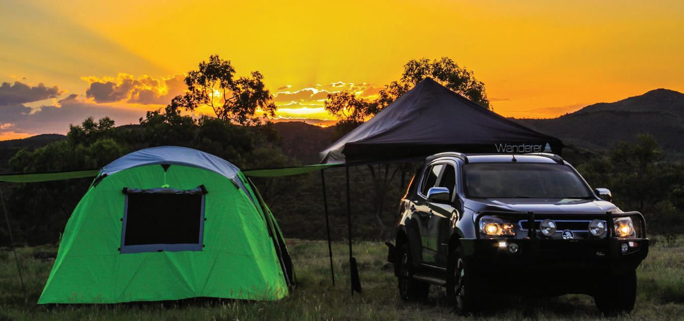
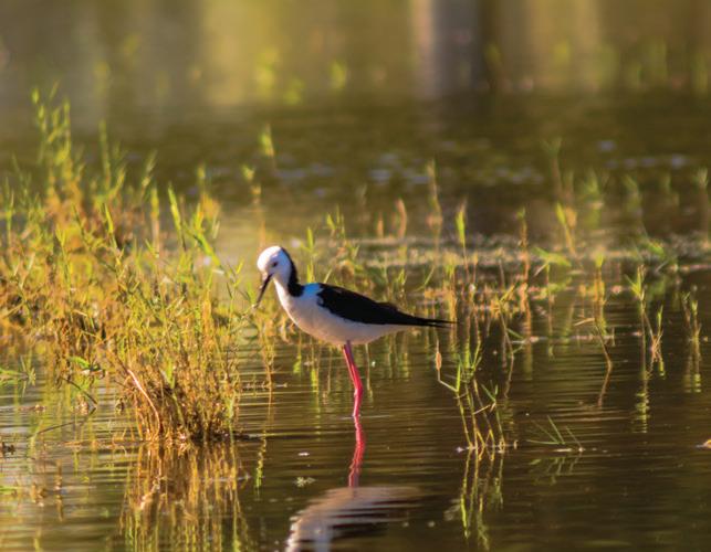
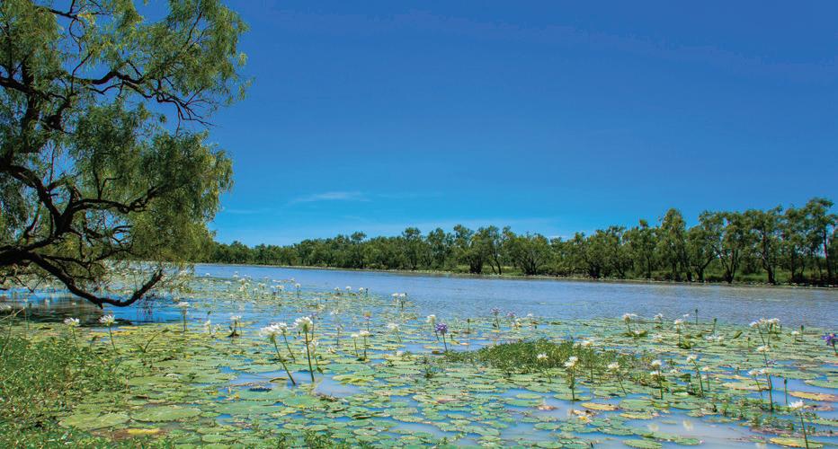
The Nowranie Waterhole camping area provides an attractive bush oasis in the semi-arid landscape, not just for humans but for the shy wildlife that comes out at night to feed. The National Park is an adventure playground where mountain biking, trail-bike riding and four-wheel driving are favourite activities. Camping is permitted along the Georgina River and is popular during the dry season. You can camp by an idyllic billabong where the birdlife is abundant and thriving. Pour yourself a cup of billy tea and revel in the quiet outback atmosphere. There are no designated sites and no showers or toilets; simply set up camp and get down to the business of serious relaxation.
At The Drover’s Camp, you can immerse yourself in the bush atmosphere while enjoying the hospitality and informative talks given by the tough ex-drovers.
Drovers Camp
Lot 15 Barkly Highway
Ph 07 4748 2022 www.droverscamp.com.au
Georgina River Free Camping along the western side of the river. Popular spot for birdwatching.
Camooweal Caves National Park No Camping. Entering caves is prohibited.
Accommodation Post Office Hotel Motel and Caravan Park 39 Barkly HWY Camooweal 07 4748 2124 Camooweal Roadhouse Caravan Park Barkly HWY Camooweal 07 4748 2155 Rainbow Hostel Barkly HWY Camooweal 07 4748 2011 Camooweal Driveway Barkly HWY Camooweal 07 4748 2137
Business Directory The Drover’s Camp Camooweal Lot 15 Barkly HWY 07 4748 2022 Puma Petrol Station Lot 10 Barkly HWY 07 4748 2155 Australia Post Barkly HWY Camooweal 07 4748 2110 Camooweal Police Station Nowraine St Camooweal 07 4748 2148 Camooweal Health Centre Morrison St Camooweal 07 4748 1000 Camooweal Driveway Barkly HWY Camooweal 07 4748 2137
Basic Food Supplies Post Office and General Store Barkly HWY Camooweal 07 4748 2110 Camooweal Roadhouse Caravan Park Barkly HWY Camooweal 07 4748 2155 Camooweal Driveway Barkly HWY Camooweal 07 4748 2137
Dining/Take Away Post Office Hotel Motel and Caravan Park 39 Barkly HWY Camooweal 07 4748 2124 Camooweal Roadhouse Caravan Park Barkly HWY Camooweal 07 4748 2155 Camooweal Driveway Barkly HWY Camooweal 07 4748 2137
Mary Kathleen was originally a mining town but was abandoned in 1984 after uranium mining ceased in 1982. Clem Walton and Norm McConachy discovered uranium in 1954 and named the township after the latter’s wife. The following year, Rio Tinto Mining developed the open cut mine and an architect was commissioned to design the town six kilometres away. By 1963, the main supply contract had been fulfilled early and the works were shut down. Eleven years later, new supply contracts were established with Japanese, American and German utilities organisations and the mine was reopened. This period was known as Mary Kathleen’s ‘second life’ and lasted until 1982 when the uranium reserves were finally exhausted. The town’s buildings were sold and relocated and the mine site was rehabilitated.
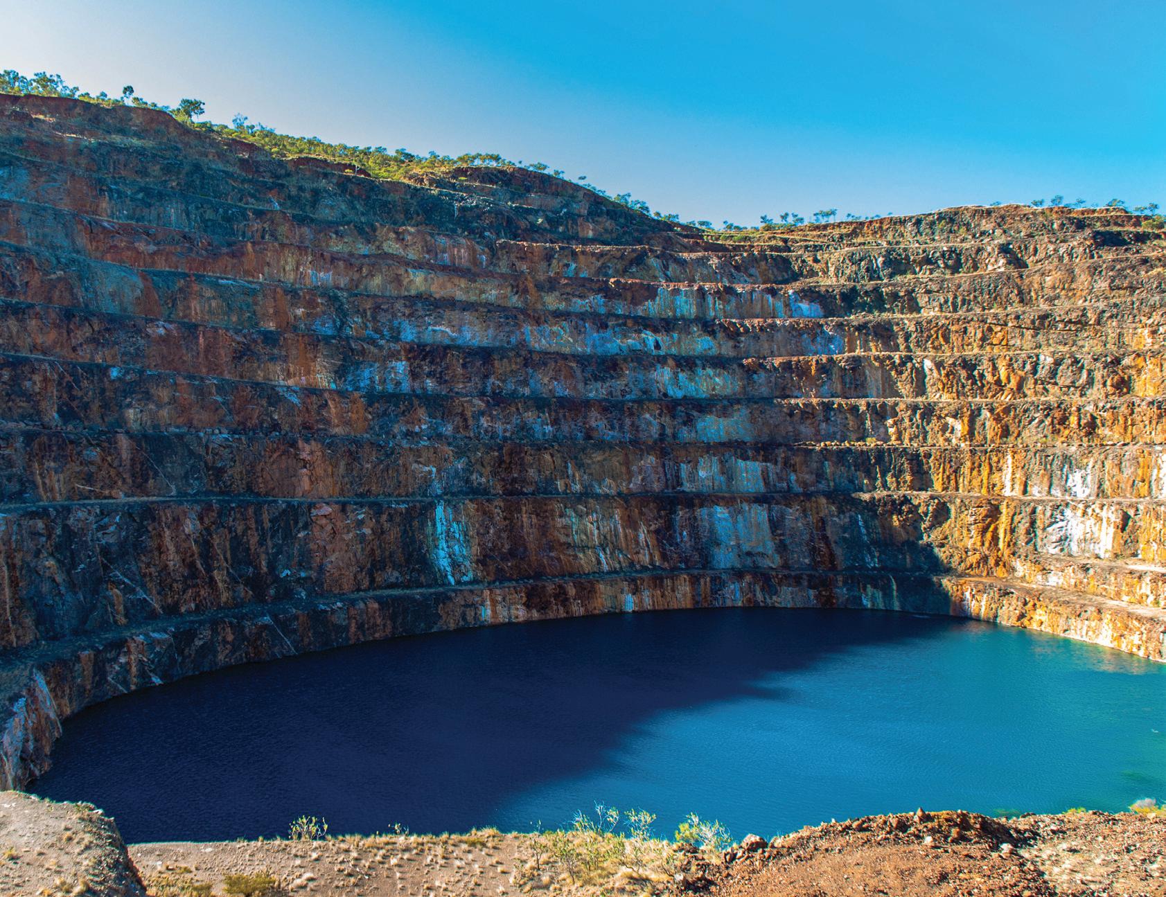
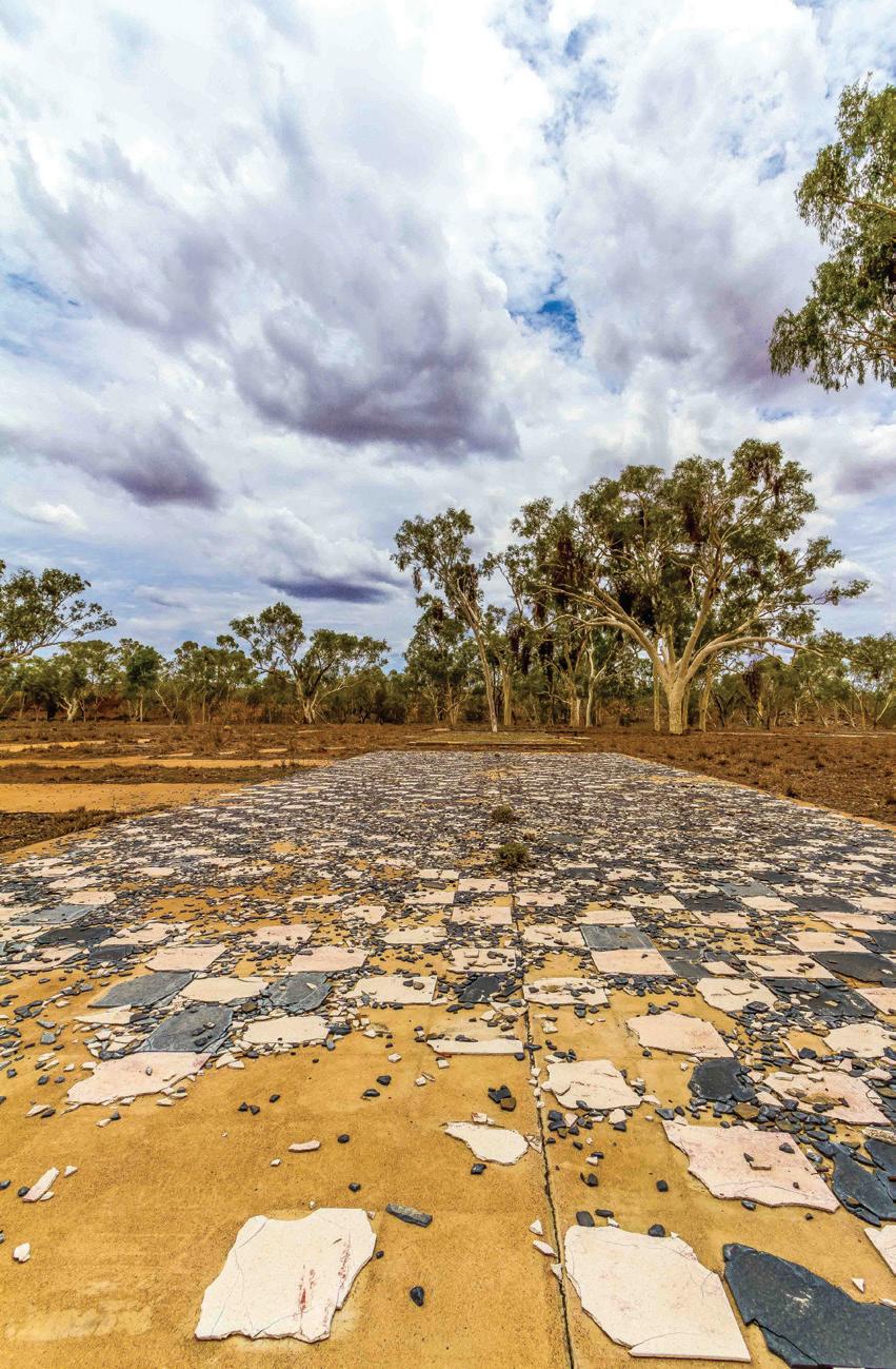
Visitors can explore the area but the buildings were removed long ago and relics sent to the Cloncurry/Mary Kathleen Memorial Park and Museum in Cloncurry. Today, it is a ghost town with a bitumen road that leads into the bush and a giant, tiered pit that used to be the open cut mine. It now resembles more of a natural pool, reflecting the brilliant blue sky of a typical day. There are other clues as to what used to exist in the town such as the grey and white checker board pattern tiles of the old ANZ bank and the concrete slabs of the former mine administration buildings.
Once a town with a population of around 1,000 people, Mary Kathleen used to boast all the services that are necessary to any town. Where there used to be tennis and basketball courts, churches, a town pool, a school and a petrol station, the area has now been reclaimed by nature. Wild brolgas wander about in peace and camels, who can be seen moseying along without a care in the world, have become quite the drawcard for visitors. It is possible to drive around exploring the last remnants of civilisation that used to exist there and come to your own conclusions about the minimal structures and footprints left behind. Some visitors like to try their hand at fossicking and collecting gem stones. Mary Kathleen is a safe place to bed down for the night in a caravan, campervan or tent.
Sit back and relax at Outback at Isa Visitor Information Centre and watch a short film all about this once thriving town.
Take a tour with North West Tours
Ph 07 4749 1555
www.northwesttours.com.au Bookings Essential.
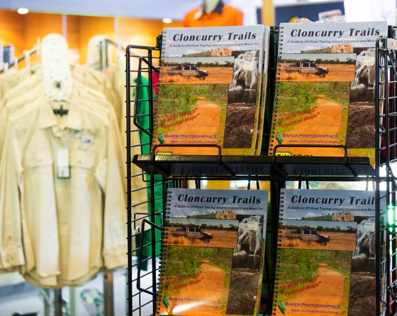
Make a day out of it Grab a copy of Cloncurry Trails, $29.50 from the Outback at Isa gift shop and explore the many 4x4 trails in the area.
