
2 minute read
AUGMENTED REALITY MODE

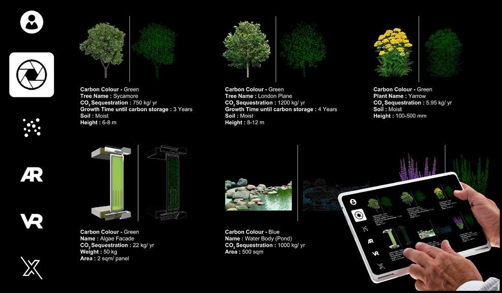
The interface is an archive of carbon data. It makes users experience this data in the real world which brings the data from EPC (Energy Performance Certificate) and RHS (Royal Horticulture Society) databases (since the project is based in London in this case).

Advertisement
The World Of Antarctica
Each time balance in colours of carbon is achieved in one of the neighbourhoods of the user‘s city, the user gets to experience Antarctica - the barometer of carbon in one of the avatars in their environment to see the challenges that they face due to melting of Antarctica. The gaming map is customized according to the no. of neighbourhoods in one’s city which also act as a leader-board


Neighbourhoods and the environments unlocked in one’s neighbourhood Leader-board for various competing cities
VIRTUAL REALITY MODE
ABOVE A user experiencing one of the environments of Antarctica -

ABOVE LEFT
ABOVE RIGHT BELOW
--
Media as a platform for users to share their micro-interventions Sharing and inspiring unique ideas of increasing sequestrations by various users via the social media mode Connecting the users on a planetary level to rebalance the global carbon cycle


Project Description
Proposal tries to inject a new life to Jahangirpuri Industrial Area. The area is a mix of urban typologies varying from industrial area, a heavy commercial development (Azadpur Mandi - Asia’s largest wholesale fruit & vegetable market) to small squatters. This complex mix of typologies is currently quite chaotic. Being at a prime location in the city, the area has a lot of potential awaiting to be unleashed so as to improve the quality of urban fabric as well as the users. The proposal addresses the above along with the provision of spaces that the people in the vicinity earlier had to travel miles for the purpose of enjoyment.
Street Connections
Ground & First floor should be proposed for retail so as to create active areas on street
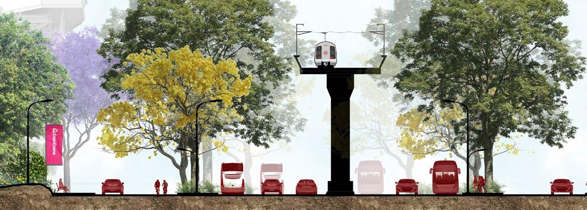

ROAD
The width of the road should be at least 9M with 1.5M lanes dedicated for surface parking on either sides

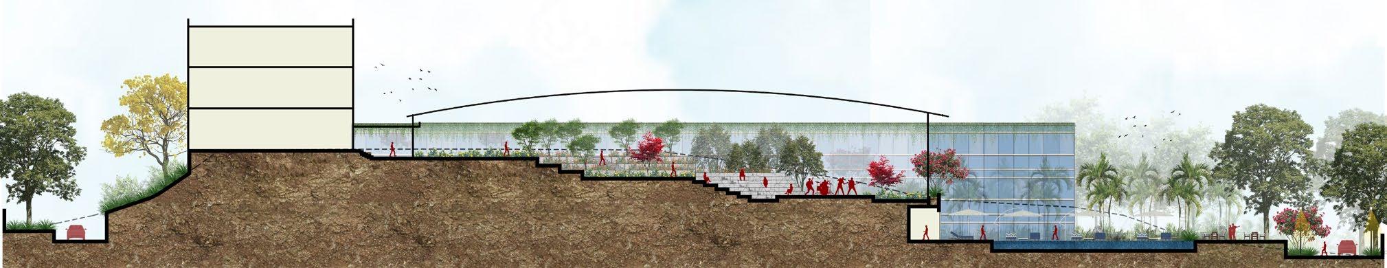
GREEN ROOFS & SKY GARDEN
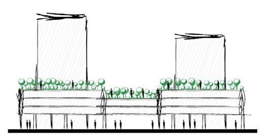
To provide thermal insulation & prevent Heat Island effect

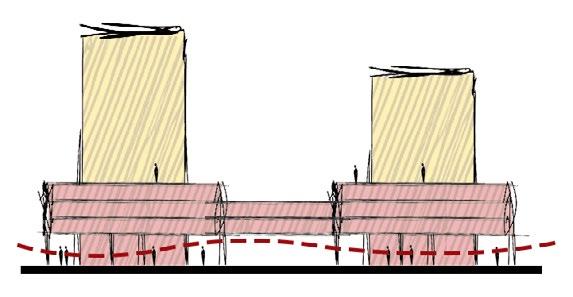
MIXED USE TYPOLOGY
The public plaza is surrounded by mixed use buildings, with ground floor usage as retail

SPORTS FACILITIES
Each block could have a unique sports ground & its supporting infrastructure. This block has badminton court

Access for pedestrians is from outside the block & for vehicles from inside the block. Tall plantations in grown in areas where entry needs to be restricted
Grey water from the site is used in the water body after getting treated in the STP located on site, thus serving a dual purpose
LANDSCAPING
An important feature of plaza is landscaping in order to provide breathing & relaxation spaces for the users which the current scenario lacked be it young or old
This ensures traffic calming & connects the two public spaces on either side
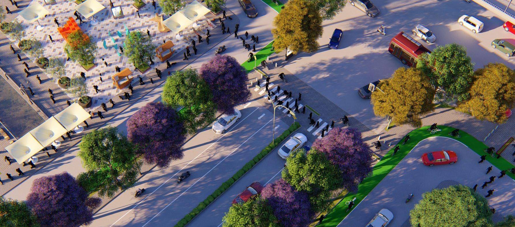
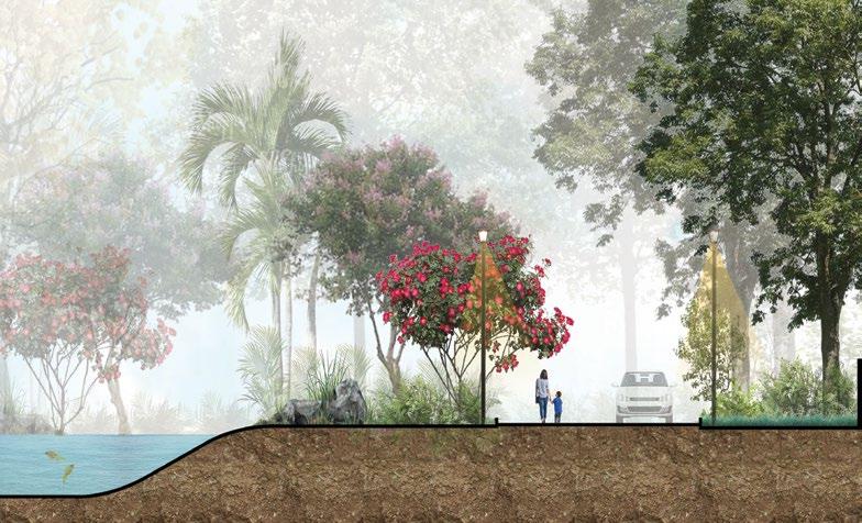
STREET CHARACTER
Different roads are planted with different variety of trees so that each road can have its separate essence & can be identified just at a glance
SEPARATE BICYCLE LANE
To ensure maximum comfort level to the pedestrians & cyclists, & encourage cycling & walking
Project Description


With an objective and mandate to marry the site with the building blocks/ built form, IPDM provided site levels, plinth levels, building block placement, built open relation, circulation pattern, entries, surface drainage etc. The form of building blocks, its architectural intent, elevations, internal space planning etc., were notional and totally the mandate of the appointed architects. The main idea was to have an inward looking building with the building opening towards the east side that has major views towards a Fort and tombs of mughal era while also complementing the existing contours of the site.


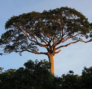
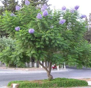
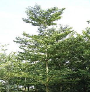
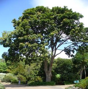
Plantation Palette


Site Plan

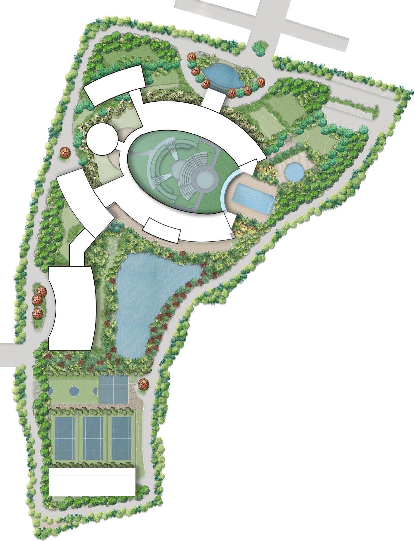
The site has its primary access in the north direction connected via Neknampur Road while the service entry is situated in the west direction. Site is highly contoured with a level difference of 18M, with site rising from +112.00 to +130.00 level. One of the highlights are the large boulder formations in certain areas of the site which the proposed design tries to incorporate in the master planning exercise.
