1 minute read
Wild Side GUIDE
from Wild Side Guide
by Imagination
WELCOME TO
MASON COUNTY
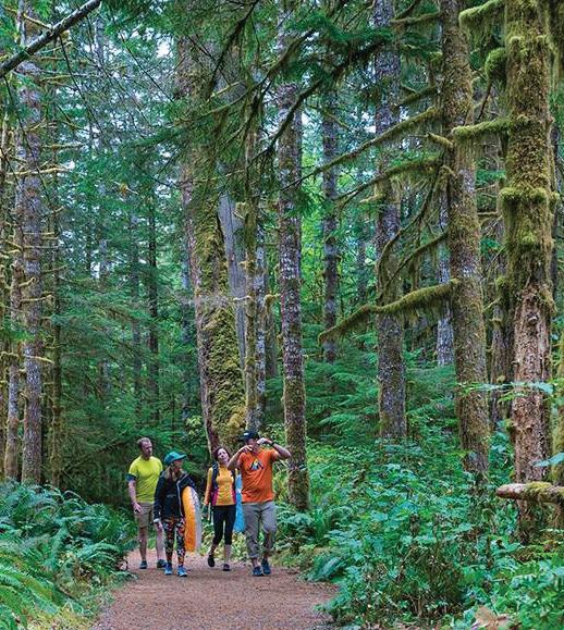
Welcome to a place filled with world-class activities, wild caught fare, lively events, and plenty of room to hide away when you just want the world to yourself.
The WILDSIDE GUIDES are here to help visitors make the best memories in our area.
Visit explorehoodcanal.com or call 866-922-7469 with questions or comments.
#wildsideWA

Hood Canal is the only saltwater fjord in the lower 48 states.
Hood Canal is less developed than other Puget Sound basins. Around 90% of the drainage is forest and 70% of the shoreline remains in natural habitats.
The retreat of the Cordilleran Ice Sheet excavated long, straight valleys and the channels of Puget Sound, Lake Washington, and Hood Canal over 13,000 years ago. With the formation of glacial lakes & erosion, the glacier altered it’s course, creating a “hook.” Troughing of glacial till and massive erosion account for the giant sills of sediment that make up much of the Canal’s sea floor.

Precipitation variable – Port Townsend receives 19” per year, while 90” annually fall at SKOKOMISH.
Water from the Strait of Juan de Fuca mixes poorly due to an underwater sill south of the Hood Canal Bridge, and freshwater often forms a layer at the surface.
Rivers from the Olympics: Skokomish, Hamma Hamma, Dosewallips, and Quilcene.


