7 minute read
Relic of the Past or Beacon for the Future?


A relic of the past, or a beacon for the future?
Anselm Haanen, Surveyor-General, and Nic Donnelly, Manager Positioning at Toitū Te Whenua Land Information New Zealand
Advertisement
Surveyors may have heard that some prominent trig beacons have been removed or are proposed to be removed at a few sites around the country.
Some have expressed concern about the removal of beacons and noted that the beacons are one of the few tangible and enduring artefacts that the public associates with surveyors.
In many cases they represent the history of surveying in the area, and sometimes are associated with the early pioneer surveyors.
Surveyors have also indicated they still use many of these beacons, and many New Zealanders enjoy using them as reference points, including when interpreting maps.
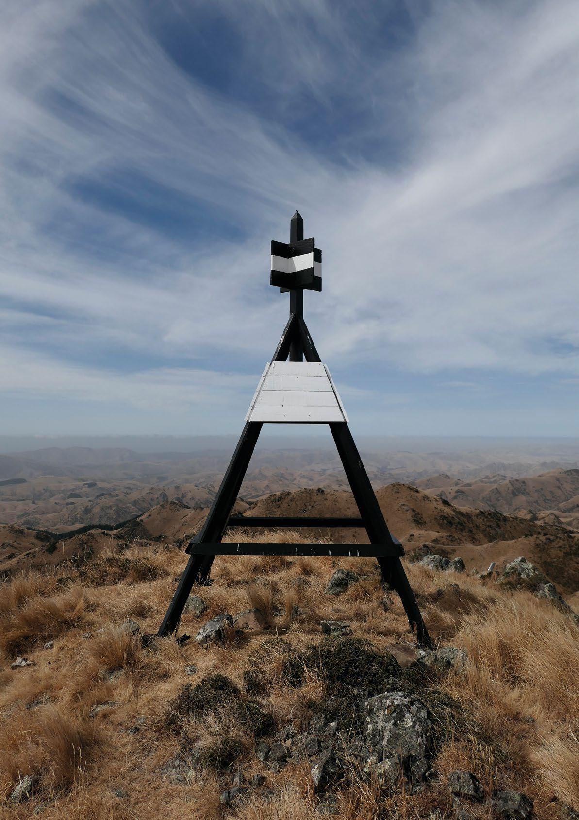
The original purpose of trig beacons was to support triangulation – they reference the ‘trig stations’ underneath them.
The national survey control network was built by triangulation from various baselines around the country, particularly for the development of New Zealand Geodetic Datum 1949. The permanent Beacon Type Number Total beacons supported the Two-metre beacon 4387 Wooden 22 triangulation, as well Metal 585 as other surveys, as it Unspecified 3780
was not necessary to install targets over the marks each time they were used. The introduction of electronic distance measuring reduced the dependency on pure triangulation, although the beacons were still needed for theodolite observations. However, the biggest change came with the introduction of GNSS technologies.
Survey control marks no longer had to be placed where they were visible over long distances, usually on the highest points, and beacons were not needed for making GNSS measurements. GNSS is now used for almost all control surveys, which are now focused on establishing a dense network of readily accessible marks – the vast majority without beacons. Today, surveyors mainly use beacons on prominent high points to orient their surveys, or to check their orientation by comparing the calculated bearing with the orientation obtained from other means. This demand is likely to decrease over time as theodolite observations diminish and GNSS and other technologies become increasingly accurate, reliable and usable in different environments.
Four-metre beacon 1419
Wooden Metal Unspecified Non-standard beacon 245 33 1141 71 71
TOTAL 5877
Types and numbers of beacons. Most of the ‘unspecified’ two-metre beacons are metal and most of the ‘unspecified’ four-metre beacons are wooden.
Toitū Te Whenua Land Information New Zealand (LINZ) has a regular programme of maintenance for well-used beacons, which involves visiting them and carrying out maintenance work about every five years. The purpose of the programme is to ensure the beacon remains fit for purpose and safe.
The relative level of usage is assessed using Landonline data. Landonline records only those usages included in Cadastral Survey Datasets, which is often only a small proportion of the total usages of a beaconed mark.
Nevertheless, it provides useful information to help prioritise beaconed marks for the maintenance programme.
Other beacons are maintained as required, usually in response to feedback from surveyors and the public. All the maintenance work is undertaken by private survey firms under contract to LINZ.
The ongoing investment in beacons needs to be balanced with other components of a modern survey control system, such as higher density of 3D control marks. Over the long term, beacons can be expensive to maintain.
They are sometimes in remote locations, readily accessible only by helicopter or four-wheel-drive. Overall, the beacon infrastructure is ageing, which increases the costs of maintenance.
There is also a greater awareness of the need to ensure the safety of the public where beacons are in easily accessible locations.
Whenever a beacon gets to the point where it can no longer be maintained in a cost-effective manner, LINZ will first consider whether the beacon is required for the future.
In many cases, particularly in rural areas where GNSS is increasingly used for surveys, the answer may be no, in which case the beacon would not be replaced.
From time to time, but with increasing frequency, LINZ receives requests to remove (or not replace) beacons on iwi-owned land, or on land that is of particular significance to iwi.
Beacons are usually located at the highest point of a maunga. The summit, or tihi, is usually also the most sensitive part of the maunga from a Māori perspective, where the presence of a beacon may be seen as inconsistent with the cultural values of the site.
For some iwi, the beacon’s association with surveying is a visual reminder of past loss of land. The removal of the beacon may be requested as part of a much larger body of work by an iwi, or an iwi/council partnership, to restore and enhance the traditional cultural values of the site.
Some of New Zealand’s most-used beacons are on such maunga. In most cases, iwi are happy for the mark itself to remain, and for surveyors to occupy the marks on a temporary basis where needed.
Such requests to remove beacons, whether from iwi or anyone else, are considered on a case-by-case basis.
Where the beacon is well used, its role in the survey system and the reasons it is still used is explained to the requestor. LINZ will also ask for information about why the beacon is no longer wanted on the site.
Where there is a strong desire for the beacon to be removed, and surveyors still have a need for a survey reference object to orient their work, LINZ will look for alternatives.
Possibilities include prominent features such as towers or church spires. For sites of panoramic or historical significance, alternative structures may exist, such as an obelisk or monument, or suitable survey reference objects may be able to be incorporated into lookouts or similar structures.
It may be possible to install a more culturally appropriate object such as a pouwhenua (land-marking post) on the same site.
In cases where the beacon proposed for removal is well used, or otherwise known to be of significance to surveyors, LINZ will engage with local surveyors. As well as communicating their concerns, surveyors can provide input on alternative solutions and help through their contacts with local councils.
It is also an opportunity for surveyors to provide feedback more generally on any weaknesses in the survey control system in the area so that these can be addressed. For example, surveying additional control marks may mitigate, at least in part, the removal of a beacon.
In some cases, the public may have a strong interest in a beacon, in which case wider engagement would be considered.
While they can be complex to work through, requests to remove well-used beacons are also an opportunity for LINZ, iwi and surveyors to work together to find solutions that meet the needs of the survey system, while respecting the wishes of landowners and the unique cultural values of these sites. •
Figure 1: Top of a transmission tower that could be suitable as a survey reference object.


All New S900A GNSS Receiver
4G MODEM
S900A has an internal 4G modem, a fast internet connection is guaranteed.
MULTI CONSTELLATION
The Stonex S900A with its 800 channels, provides an excellent on-board, real time navigation solution with high accuracy. All GNSS signals (GPS, GLONASS, BEIDOU, GALILEO, QZSS and IRNSS) are included.
INTELLIGENT BATTERIES


The dual slot, for two Smart, hot-swappable batteries, gives you up to 12 hours battery life. The power level can be checked and seen on the controller or directly on a the LED bar on the battery.


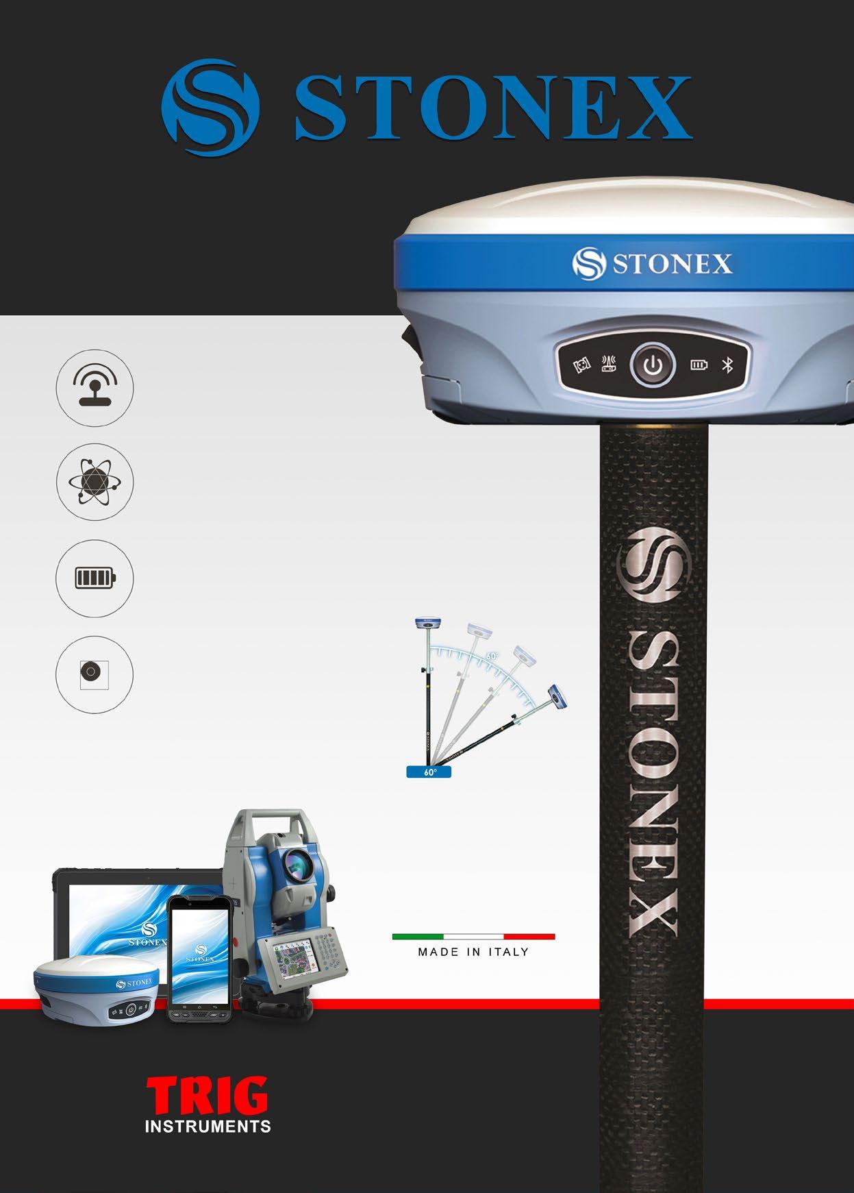
E-BUBBLE & IMU - 60°
In the software, the E-Bubble indicates if the pole is vertical and the point will be recorded automatically when the pole is levelled. The optional Inertial Measurement Unit (IMU) technology provides up to 60° inclination.

Your industry is unique, and your insurance should be too.
It’s been nearly a decade since GSI partnered with Survey and Spatial New Zealand to create specific, proven cover for the survey, engineering and spatial industry. We’ve invested those years in developing a comprehensive understanding of the risks, regulations and legislative changes that impact your industry.
As a result, we’ve developed highly tailored, cost-effective cover packages for firms of all sizes. Our team are knowledgeable, resourceful, and provide a claims service that is simply second to none.
Talk to us for insurance that’s tailored to your business.


