4 minute read
Exciting postgraduate options at Otago


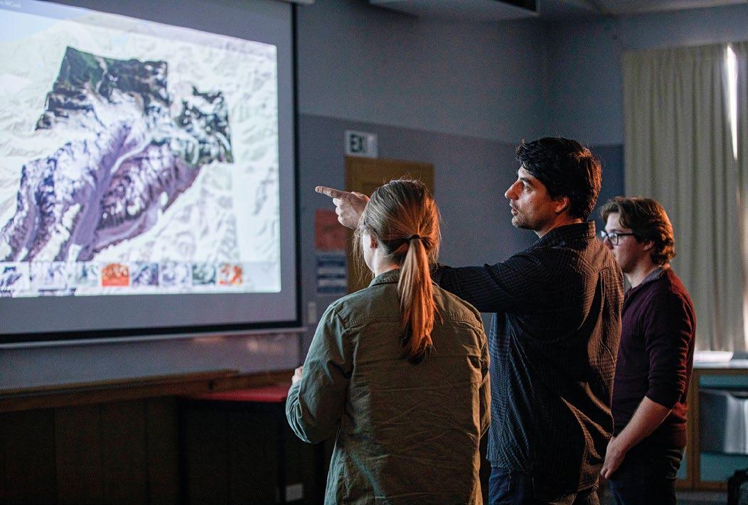
Otago postgraduate programmes are led, taught and supervised by leading researchers. (Associate Professor Pascal Sirguey, remote sensing and photogrammetry).
University of Otago
Advertisement
The National School of Surveying at the University of Otago offers postgraduate and research courses designed to satisfy different needs and accommodate students from diverse academic backgrounds. Entry into these degrees varies according to the quality and level of a student’s previous tertiary study.
Diploma for Graduates (DipGrad)
This is a one-year course specifically designed for mature students who want to upskill in a particular discipline or move into a different avenue of study. Provided that the programme of study is cohesive and has the appropriate number of 200-level and 300-level points, it is entirely flexible and can be tailored to the student’s needs. A candidate must have a first degree or an appropriate technical qualification and experience to gain entry. Candidates who excel in their DipGrad may be admitted directly to a Postgraduate Diploma in Science or Applied Science.
Postgraduate Diploma in Science (PGDipSci) and Postgraduate Diploma in Applied Science (PGDipAppSc)
The school offers a PGDipSci in Surveying and a PGDipAppSc in Geographic Information Systems (GIS). These one-year courses, which consist of graduate-level papers and a research project, are flexible and can be tailored to the needs and interests of a particular student. They

The University of Otago offers coursework and research-based postgraduate degrees and diplomas in surveying and geographic information systems (GIS). are excellent options for BSc or BSurv graduates who want to specialise in a specific subject in a single year of postgraduate study. Entry is restricted to students with an appropriate undergraduate degree (or equivalent).
Coursework master’s degrees
The Master of Applied Science in Geographical Information Systems (GIS) is a coursework master’s degree that provides geospatial and analytical skills required to conduct socially and physically relevant research and be part of the key growth industries of the 21st century in business, government and the built and natural environment. When you learn to think and work in four dimensions, you become part of the solution to problems that span many orders of magnitude, from your hometown to the world.
Key information about the degree:
15-month duration
Seven taught papers plus either a project or a work placement Applicants normally require a B+ average (at 300 level) in an appropriate undergraduate degree Applicants with relevant practical experience may also be considered.
Research master’s degrees
The school also offers research-led master’s degrees: a Master of Science in Surveying or GIS and a Master of Surveying. Research opportunities are available in the school’s areas of expertise (see below for an overview of these areas). The MSurv and MSc are generally two-year programmes. Papers taken in Year 1 are similar to those taken by postgraduate diploma students. Progression to the second year (thesis) is normally restricted to students who obtain a B+ average (or better) in Year 1.
Entry to the MSurv is available to students with a four-year undergraduate surveying degree (or equivalent). A student who obtains a BSurv with distinction, a BSurv(Hons) 1st class, or equivalent, may be admitted directly to the thesis year of the degree.
Doctor of Philosophy (PhD)
The PhD is open to applicants with a bachelor’s degree with first-class or upper second-class honours, a master’s degree, or appropriate research experience. It consists of an original research project embodied in a thesis on a topic of personal choice. It requires a minimum of two and a half years of full-time study or four years part-time. However, it is typical for a PhD degree to take at least three years to complete.
School of Surveying research fields
Research in Antarctic Science covers the fields of Antarctic Glaciology, Sea Ice Physics and Remote Sensing. Research projects feature both field observations and numerical model simulations. Geospatial Science covers the fields of Geographical Information Systems (GIS), Remote Sensing, and Photogrammetry. Research projects feature both theoretical and applied approaches. Geodetic and Surveying Science encompasses the fields of earth or crustal deformation, geoid computation and longterm sea-level change. Hydrographic Surveying researches acoustic measurement, high-resolution bathymetric mapping of the seabed, inland rivers and lakes and legacy hydrographic data.
Research in Land Tenure and Cadastral Studies looks at New Zealand and international land tenure, land registration issues, aboriginal title, public-private property rights, boundary issues and land law.
Research in Land Engineering and Urban Development covers the fields of Environmental Modelling and Urban Development Processes.
For any postgraduate enquiries, please contact:
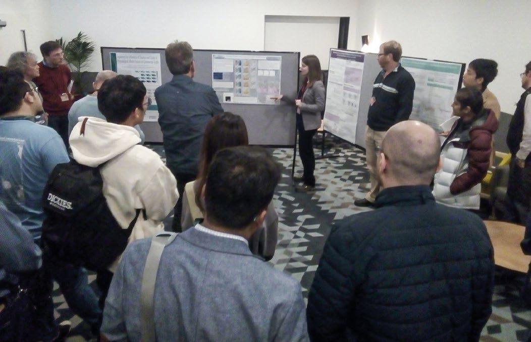
Otago postgraduates have undertaken experimental work in the field (and in the lab) in places such as Antarctica, Southeast Asia, Europe and Africa, as well as Australasia. Otago postgraduates work in a surveying or spatial topic area they are passionate about, reporting on their research through journal articles and conferences (Clare Lewis, MSc GIS candidate, presenting at the international GeoComputation conference).

Dr Tony Moore Deputy Head of School for Research and Postgraduate Studies Rm 128, 310 Castle Street Dunedin Ph +64 3 479 7589+64 3 479 7589 tony.moore@otago.ac.nz •