CMOURNEOUNtRy Gareth McCormack A Journey Through The MAJesTic MounTAins And Beyond
CMOURNEOUNtRy A Journey Through The MAJesTic MounTAins And Beyond
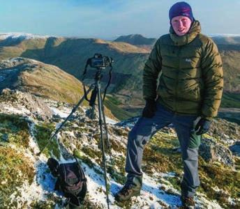
GARETH McCORMACK is a landscape photographer and writer, hailing from County Tyrone but now living in the west of Ireland. Known for his use of dynamic framing and light, he has shot far-flung landscapes around the world and worked for dozens of commercial and editorial clients. Gareth has been visiting the Mournes for more than twenty years. garethmccormack.com
First published 2022 by The O’Brien Press Ltd., 12 Terenure Road East, Rathgar, Dublin 6, D06 HD27, Ireland. Tel: +353 1 4923333. Fax: +353 1 4922777
Email: books@obrien.ie. Website: obrien.ie The O’Brien Press is a member of Publishing Ireland.
ISBN 978-1-78849-177-8
Text and photographs © Gareth McCormack 2022 The moral rights of the author/photographer have been asserted.
Copyright for typesetting, layout, editing, design © The O’Brien Press Ltd Cover and internal design by Bex Sheridan.
Thanks to the C.S. Lewis Company Ltd for their kind permission to reproduce on the back cover and P21 a quote from On Stories and Other Essays © 1966 C.S. Lewis Pte Ltd
All rights reserved. No part of this publication may be reproduced or utilised in any form or by any means, electronic or mechanical, including photocopying, recording or in any information storage system, without permission in writing from the publisher. 10 9 8 7 6 5 4 3 2 1 26 25 24 23 22
Published in
Printed and bound by Drukarnia Skleniarz, Poland
The paper in this book is produced using pulp from managed forests.
Gareth McCormack
CMOURNEOUNtRy
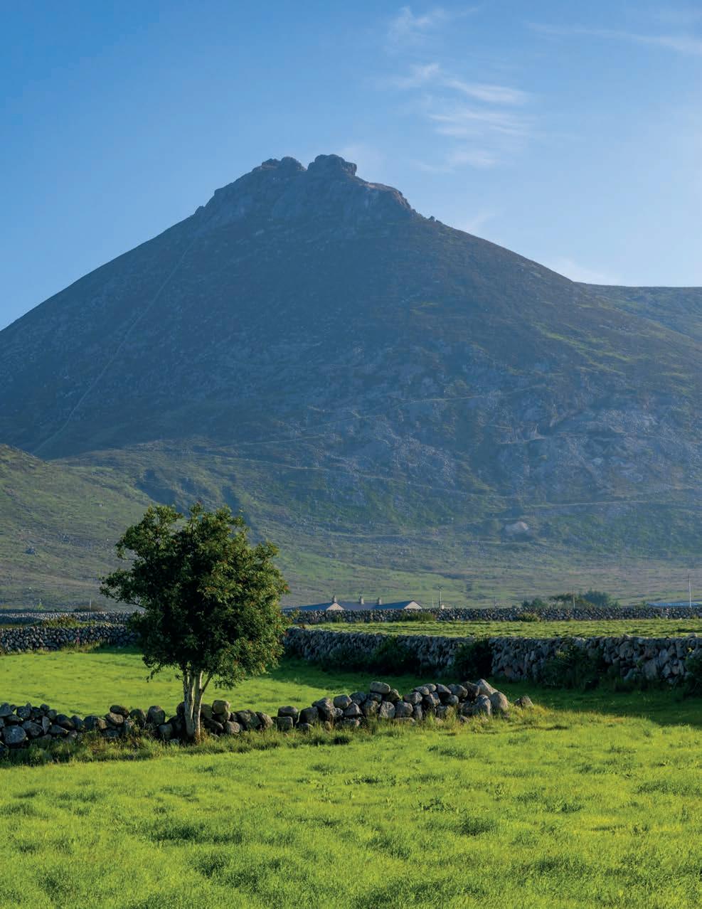
 The twin summits of Slieve Binnian and Wee Binnian tower over the fertile farmland on the south side of the Mournes.
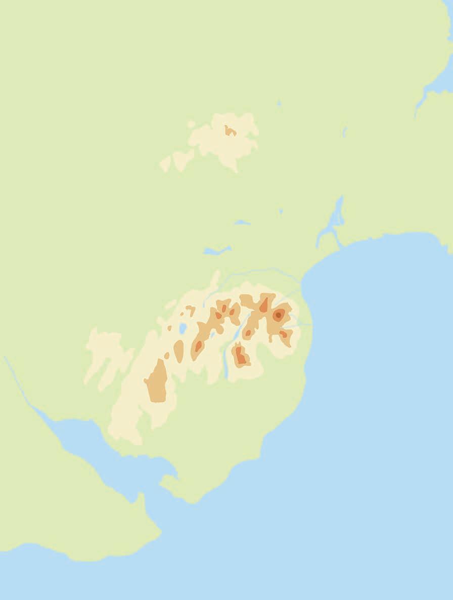
1. Slieve Donard 2. Slieve Commedagh 3. Slieve Binnian 4. Slieve Bearnagh 5. Slieve Lamagan 6. Slieve Meelbeg 7. Slieve Meelmore 8. Slieve Muck 9. Hen Mountain 10. Pigeon Rock Mountain 11. Eagle Mountain 12. Slieve Croob 13. Slieve Martin • Rostrevor Forest Park • Castlewellan Forest Park • Tollymore Forest Park Castlewellan Lake • • Silent Valley Reservoir • Ballykeel Point Carlingford Lough • Cranfield Point Dundrum Bay Dundrum Inner Bay • Tyrella Beach • Annalong • Ballykinler • Bryansford • Castlewellan • Dundrum • Hilltown • Kilkeel • Newcastle • Rostrevor • Warrenpoint • Bloody Bridge • Castlewellan Castle • Clough Castle • Drumena Cashel • Dundrum Castle • The Long Stone • Greencastle•Legananny Dolmen • Maghera Round Tower & Church • Narrow Water Castle • Spelga Dam • Murlough National Nature Reserve • Windy Gap Mourne Country • Silent Valley • 1• 4• 6 • 3 • 2• 7 • 9 • 8 • 10 • 11 • Annalong Valley • 12 • Slidderyford Dolmen • 13 • 5 • Haulbowline Lighthouse•Attical
INtROdUCtiON
‘Where the Mountains o’ Mourne sweep down to the sea …’ Percy French
The Mourne mountains occupy the southern corner of County Down, approximately an hour’s drive south of Belfast city. Their highest summit, Slieve Donard, is, at 850m, the tallest in Northern Ireland and Ulster. They are probably the most dis tinctive mountains in Ireland, clustered tightly together in a compact knot of summits, with graceful, sweeping slopes crowned by characteristic granite tors – set amid the patchwork woodlands and verdant farmland of the wider Mourne region.
The Mournes were originally known in Irish as Beanne-Boirche (‘Boirche’s Peaks’), a name variously attributed to a shepherd called Boirche from the 3rd century, or Bécc Bairrche
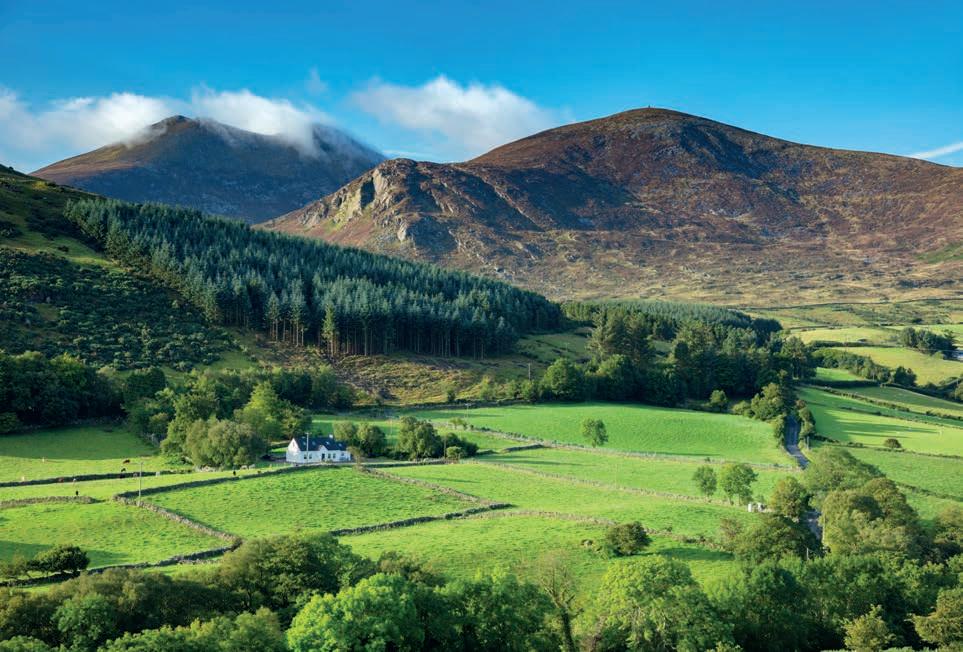
Left: The lush pastures of the Trassey Valley. The two summits in the background are Slieve Bearnagh on the left and Slieve Meelmore on the right.
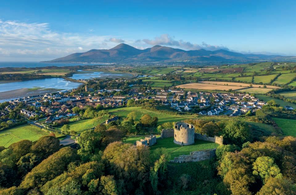
Below: Looking across Dundrum Castle and Dundrum village towards the Mourne mountains. Slieve Donard is the prominent summit on the left.
mac Blathmaic, a king of Ulster from the 7th and 8th centuries. But from sometime around the 13th century, the wider area in which the mountains stand became known as Múrna, from a Celtic or pre-Celtic tribe, the Mugdorna, who moved into the area from County Monaghan towards the end of the 12th cen tury. The anglicisation of Múrna to Mourne took place when the area of the Mournes and the coastal plain to the south became the Barony of Mourne.
Today the Mourne district is widely considered to be much greater in extent than the Barony of Mourne or the ancient territory of Múrna. In 1986, an area of 570 km² was designated as the Mourne Area of Outstanding Natural Beauty, encapsulating all of the original barony and also the western foothills of the Mournes as far as Warrenpoint, a great swathe of
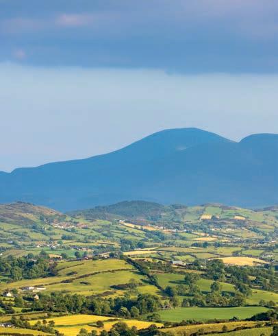
12 MOURNE COUNtRy
Above: A panoramic view of the Mournes from Windy Gap, with Slieve Donard prominent on the left of the picture and Slieve Bearnagh the conspicuous mountain with a gap in it on the right. In the foreground are some of the extensive drumlins left behind by retreating ice sheets at the end of the last ice age.
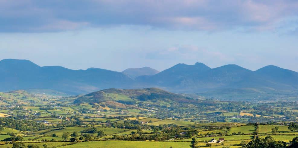
valley, forest and mountain to the north as far as Slieve Croob, and also the coastal area around Newcastle and Dundrum.
This greater area boasts an incredible diversity of beautiful landscapes, from windswept uplands to rich farmland, extensive forestry and woodland, to vast beaches and coastal heath. There are large seaside towns like Newcastle, small villages like Dundrum and busy fishing communities like Kilkeel. Scattered throughout the landscape are many monuments documenting millennia of settlement in the Mourne area, from prehistoric dolmens to Nor man castles. And all this with the ever-present backdrop of the High Mournes.
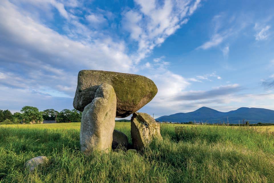
Left: Slidderyford Dolmen, a fine example of a Neolithic burial tomb located just south of Dundrum village.
INtROdUCtiON 13
I first visited the Mournes as a student with the Queen’s University Belfast Mountaineering Club. We stayed in a derelict old farmhouse in the shadow of Slieve Binnian and spent our days climbing on the rough Mourne granite or walking among the high peaks. I remem ber a long and unpleasant winter’s night bivouacked in the shelter of the Mourne Wall. I remember fingers numb and bloodied by the scourges of the climb. I remember fear and exhilaration in equal measure. I remember long, arduous days in the hills with friends, fin ishing by a pub fire in the evening.
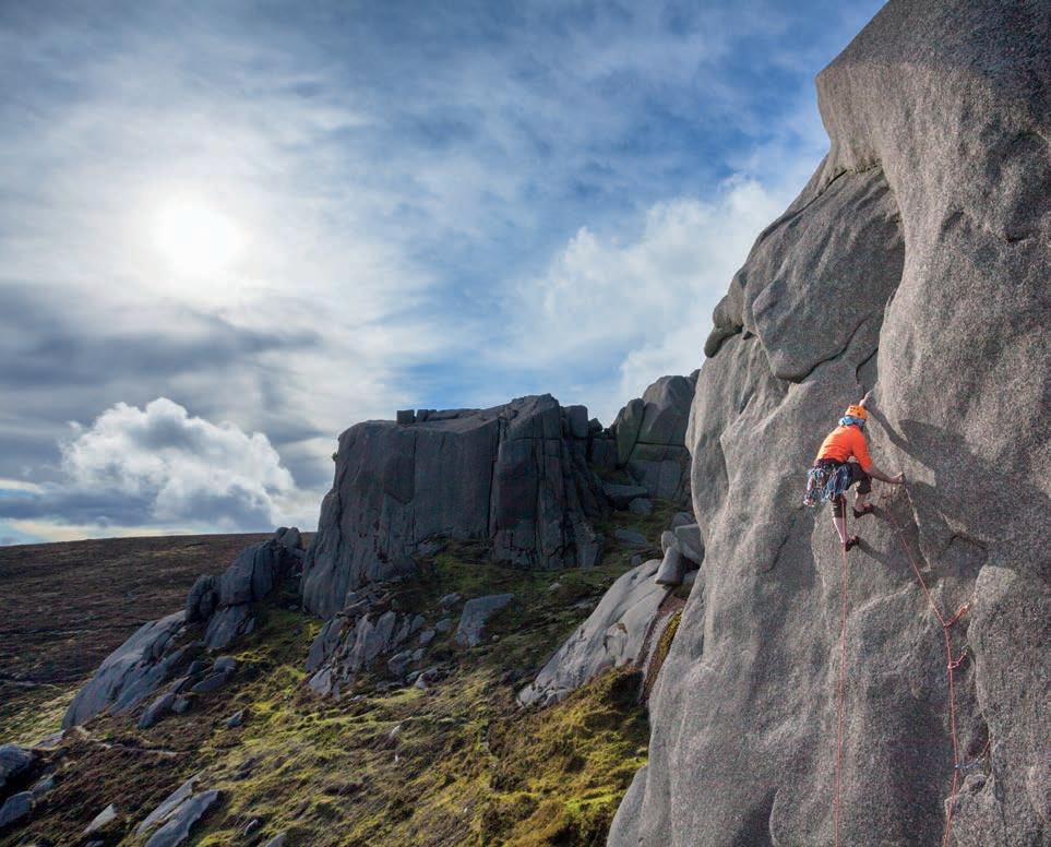 Below: Conor Gilmour climbing ‘Electra’, a classic Mournes route on the North Tor of Slieve Binnian.
14 MOURNE COUNtRy * * * *
Right: Slieve Binnian rises above the rich farmland of the coastal plains between Annalong and Kilkeel.
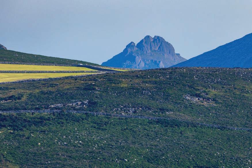
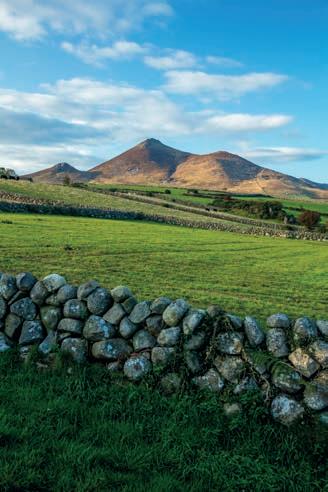
Below: The summit tors of Slieve Bearnagh peeping through the ‘V’ of the Carrick Little Valley.
As much as those memories have persisted, it is the beauty of the Mourne landscape that has drawn me back there again and again. There is a variety and character to the Mournes that is rare. In a small, con centrated area you can find so many different topog raphies, from austere mountain cliffs to pastoral farm land, from coastal heath and sweeping beaches to rich woodland. History, culture and heritage perme ate the fabric of the landscape in something as simple as the Mourne stonewalls, built from the spoil of the mountainsides in a style found nowhere else in Britain or Ireland.
INtROdUCtiON 15
My work on this book has brought me to new and unexpected corners of the Mournes. Of course, I knew the High Mournes very well, but the woods of Tollymore, the dunes of Murlough, the Norman castles and the prehistoric archaeology of the area were all new and rich experiences.
One of the highlights of my research trips was a chill autumn morning photographing the woodland along the banks of the Shimna River in Tollymore. I found my way to the sprawling limbs of an ancient and gnarled oak, right where the river pours over a small rapid. The early sun was rising though the trees, filtering a beautiful golden light across the water. So absorbing was the scene that two hours seemed to pass in the blink of an eye. I hope some of this sense of wonder has found its way onto the pages of this book.
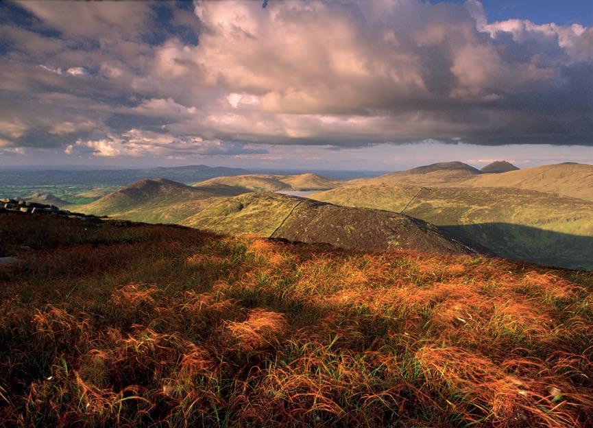 Above: View across the western Mournes from the summit of Eagle Mountain.
Right: The morning sun illuminates the Shimna River in Tollymore Forest Park.

Left: A horse peering over a stone wall near Annalong. Dry-stone walls are a characteristic feature of the Mourne landscape.

Right: A classic view of Slieve Bearnagh and Spellack across the Trassey Valley from the Newcastle to Hilltown road.
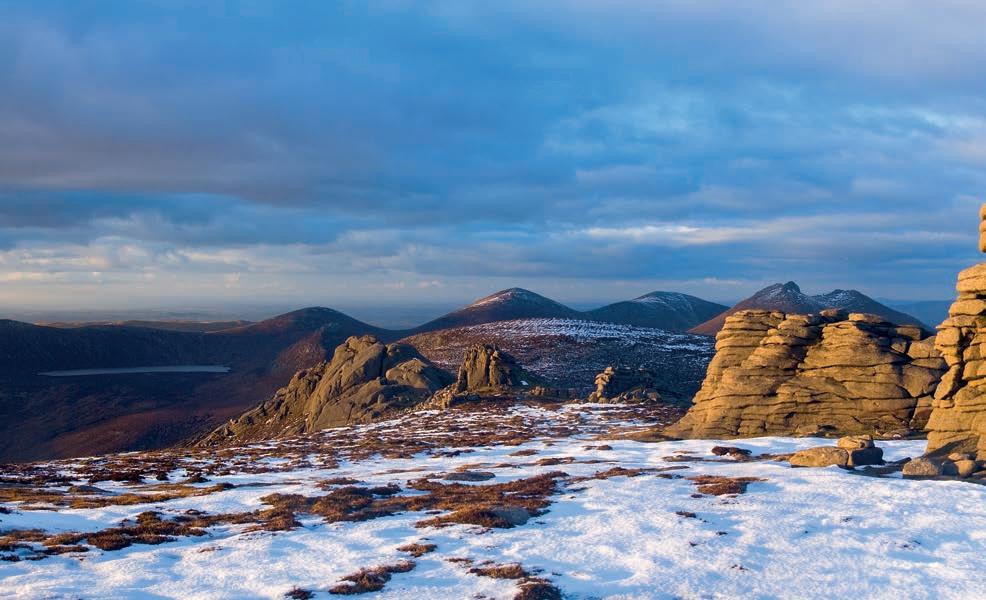
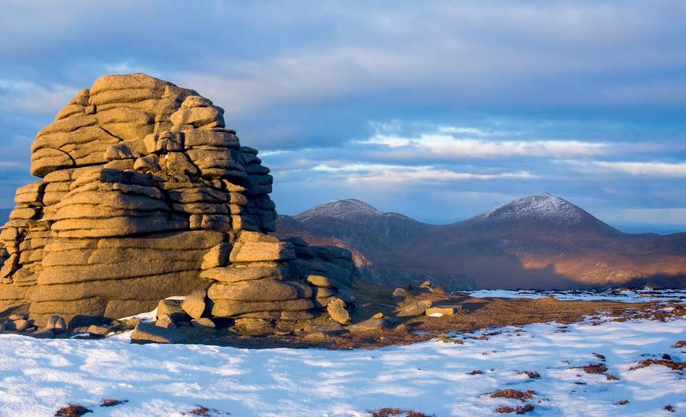
Below: Winter’s evening panorama looking north across the summit tors of Slieve Binnian. The mountains in the distance are, from right to left, Slieve Donard, Slieve Commedagh, Slieve Bearnagh and the Meelmores.
