2 minute read
NEWS


2009 AUSTRALIAN 3-DAYS
PLANNING has commenced in earnest for Easter 2009 which will be based around Launceston, Tasmania, 10 -13 April 2009. The carnival will open with the elite Sprints and Family Relays to be held in the Trevallyn reserve on the outskirts of Launceston. This venue has been chosen for a number of reasons: 1. It’s ease of access for those flying in to
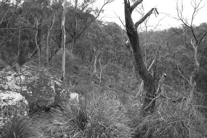
Launceston that morning or driving from the ferry terminal at Devonport. 2. It’s scenic location and variety of terrain. 3. It’s convenience for media coverage for the Photos from the new area being mapped for day 3 of Easter 2009. opening of the Carnival. Day 1 action will move to Diddleum, some 50 km NE of Launceston, to an area last used over five years ago and currently being remapped. This is an area of granite, erosion gullies and recently planted tree farms. The advent of the tree
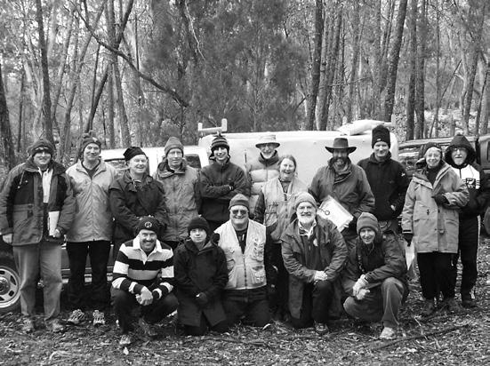
HEALTHY TURNOUT TO MAPPING WORKSHOP
ERIC Andrews held a mapping workshop based at Molong near Dubbo in the week prior to JWOC this July. The workshop was attended by almost 20 mapping enthusiasts ranging in experience from some near beginners to a number of highly experienced and practiced mappers. Attendees came from most States and New Zealand. The workshop ran from Tuesday evening to Friday afternoon covering a very wide range of mapping skills and issues. In addition all attendees undertook practical farms has added a new dimension to this area and should provide a lot of challenges and plenty of fun. Days 2 and 3 are being held in the Fingal valley in the vicinity of Royal George, an old tin mining town and scene of the 1996 Tasmanian Championships. The Day 2 map is an area which was not used in 1996 and features a variety of terrain including spur, gully, mining remains and rock outcrops, both sedimentary and granite. The final day will be on a new area only discovered last year through the use of geological maps and due to be mapped for the first time in early 2008. It is on the opposite side of the valley from the existing Royal George maps and is all granite but has a broad undulating plateau dissected by valleys often with detailed granite on their sides. The choice of Launceston as the event centre ensures plenty of accommodation options as well as lots of opportunities for eating and socializing between events. The full program will include some fun midweek events on interesting maps and the Galaxy Sprint and a National League event the following weekend. Stay tuned for more details over the coming year. Bert Elson/Jan Hardy – Carnival organizers
exercises on existing maps near Molong. This is where the dedication of Eric and Liz and the keenness of the attendees really showed out as the wind and rain howled in from the south on two of the three outings with even snow flurries on Thursday afternoon. Feedback from the workshop was very positive and it was great to see such interest in mapping which bodes well for the future of Orienteering in Australia. Our thanks to Eric Andrews and Liz Bourne for holding the workshop. Bert Elson (attendee)