7 minute read
Haslam Lake: Our deep defense against BC's droughts


Without much snow pack or a large feeder stream, Haslam Lake has kept the City of Powell River watered.
Even during the terrible droughts of the last few years.
BY JERRY ESKES
The last ice age receded from our coast and the land lay gouged and scoured. It was twelve thousand years ago, give or take, when the ice finally retreated and Mother Nature needed to roll up her sleeves and get started with the cleanup.
And she did good as the end result was a world restored, fresh new vegetation covered the land accompanied by all living things great and small, with new bodies of water, lakes, wetlands, all feeding the streams flowing eventually back to the sea. Rain and snow, ice and wind, nature’s tools put to work to perform her miracles.
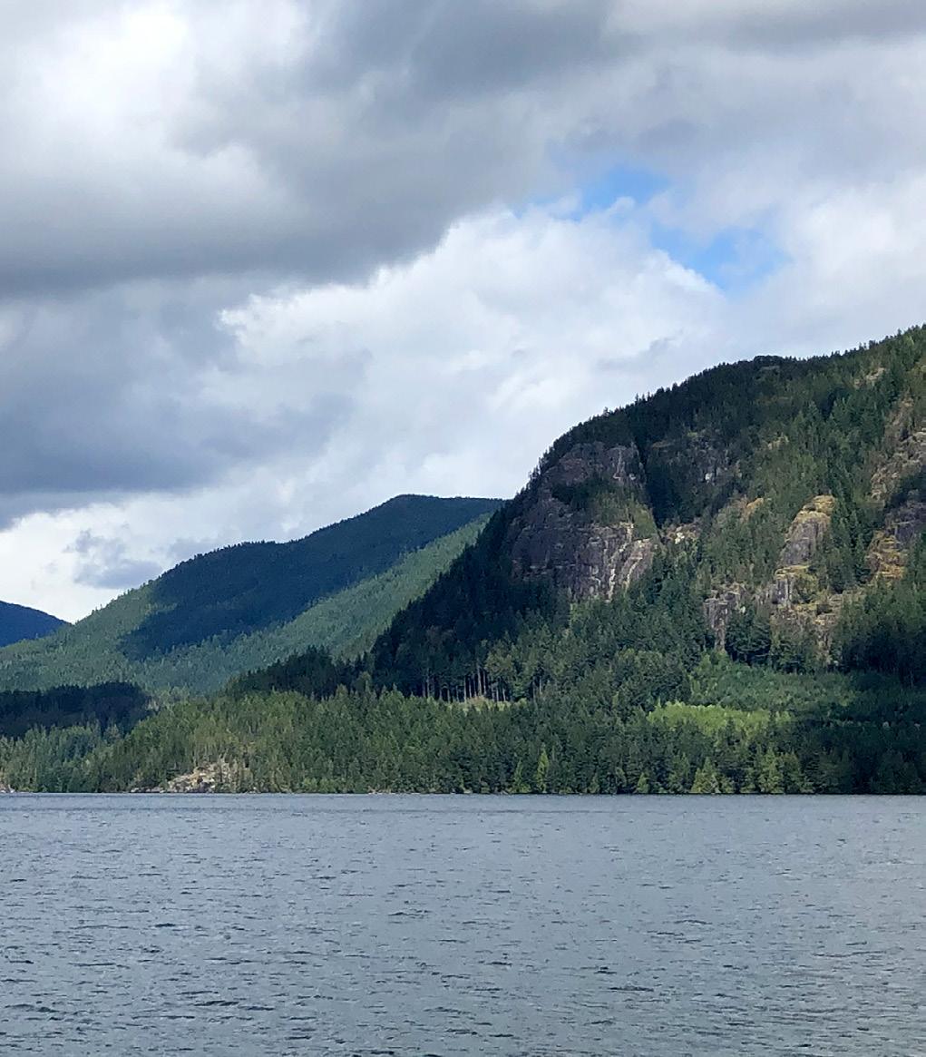
Haslam Lake, one of these natural wonders, lies just north of the City of Powell River. A reasonably large lake, long and narrow, approximately 32 km in length and it’s deep, 180 feet (55 m). A lake surrounded on three sides by rocky tree covered hills that can’t really be called mountains as such. These rocky hills are without a major source of water such as a snow pack or glacier to feed the lake below.
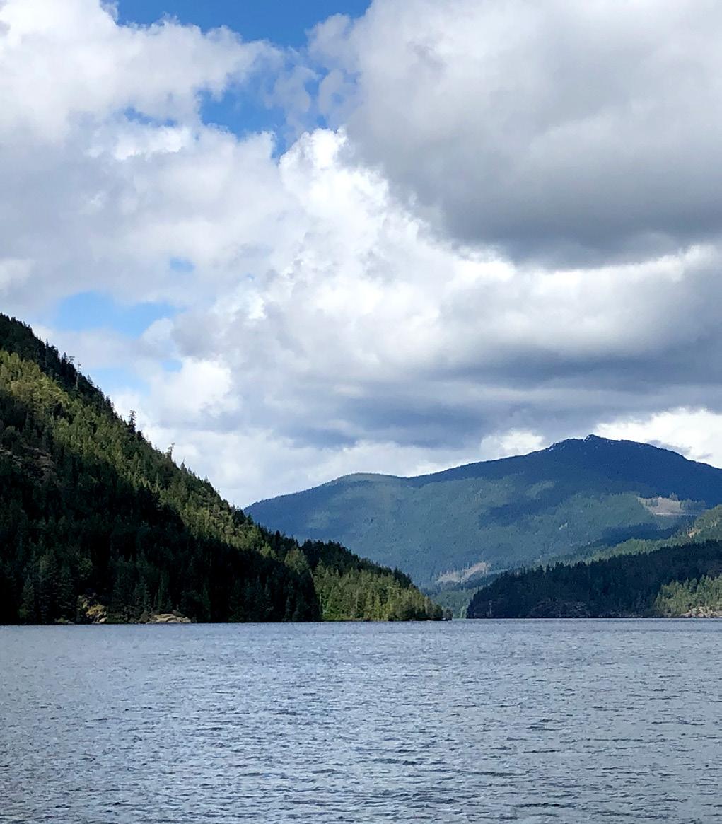
There isn’t really much annual winter snow accumulation at all, due to the moderate temperatures at this low elevation and the close proximity to the warm waters of the Salish Sea.
The water sources in the Haslam Lake watershed consist of hundreds of small creeks and streams all feeding into the lake, with none really standing out as a major single source.
Most of these creeks reduce to a very limited flow, if not run totally dry in late summer. They don’t become productive until well into the fall season when the rains arrive.
But oh those rains, being of course those west coast downpours, fill to capacity these little creeks, which rush down to the lake overflowing with life-giving water.
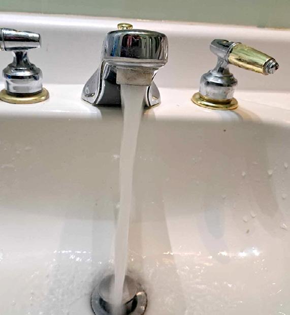
As Haslam Lake is our year-round water supply and its waters are abundant, it still begs for a responsible approach to water use during the hot summer months. All in all, though, it’s a thriving lake, well equipped to feed us quantities of fresh water – as close to a perfect lake for the job as we could hope for.
There is only one medium size creek that drains the lake – Lang Creek – which flows out at Haslam Slough at the south end of the lake. It flows into and out of Duck Lake a short distance away, then on to Brew Bay and into the Salish Sea.
This creek shows a continuous year-round water flow that reflects the health of the Haslam Lake water supply.
Back in the late 1950s, the City of Powell River came to recognize the advantages of Haslam Lake as a water source for the community. Existing water sources, which included Powell Lake, were not considered to be satisfactory.
At first the plan was to bore a water supply tunnel from a spot near Cranberry Lake to the south end of Haslam Lake, but it turned out that the entire area was glacial debris, not suitable for tunnel construction. Not to be deterred, they soldiered on to “Plan B,” the installation of a buried water supply line, a 36-inch fiberglass-lined concrete water pipe running from Haslam’s South end to a point just above Cranberry Lake at the top of Haslam Street.
The trench excavation began in 1959 and it was a huge and messy project that suffered many problems, setbacks, and delays for the contractor, but was eventually completed in 1962. The route started from the south end of Haslam and roughly followed the path of Miller Creek, the main water source for Cranberry Lake.
Little Miller Creek takes its water from the lake-fed-wetlands at the south end of Haslam Lake and even though it was totally discombobulated by the trench construction it managed to retake its stream path and to this day flows over the top of the buried pipeline, continuing to feed life giving water to Cranberry Lake.
Interestingly there are two small streams, McGuffie Creek and McFall Creek, that drain out of Cranberry Lake and its wetlands. Over the centuries these two creeks carved out the two ravines that run through today’s Millennium Park, depositing the material to form Willingdon Beach.
They both happily maintain their healthy flow all year long just like Miller Creek does. There are very few small creeks in this area that flow all summer long like these three little stalwarts do, all supplied by Haslam Lake and its watershed.
But back to the story where it’s 1962 and there is a new and improved water supply for the people of Powell River. All gravity fed, as ideal a system as one could ask for.

There was no need for a huge dam that would hold back the water to be let out slowly, dropping the lake level creating an eyesore of mud and stumps much like we see with Lois Lake. Haslam Lake is allowed to retain its natural state of beauty and tranquility while it serves our needs.
Two more significant improvements have been undertaken by the City since then. It eventually became apparent that there needed to be a reservoir to help with the peak demand times so in 2012 a water reservoir was constructed.
This mural covered concrete structure stands at the top of Haslam Street.
The second of these projects took place in 2017 where the city engaged a contractor to install a plastic pipe inside the concrete pipe, thus ensuring many more years of continued uninterrupted water supply for this community.
I, for one, will rest assured that we have a world class water system to be envied by all.
Sechelt vs. Powell River
In late summer 2023, the 20,000 residents of the Lower Sunshine Coast experienced a Stage 5 drought, which resulted in severe water restrictions. No watering plants, no washing cars, no filling hot tubs or pools. In fact, even food farmers who depend on the water system had their access to the water system cut by mid-September. Sechelt’s water comes from the 30m deep Chapman Lake, a 73-square-km watershed near Tetrahedron Peak. During the worst of the drought, the Chapman system dried to just 15% capacity. qathet was also at a drought level 5 during late summer of 2023. But the City’s water supply comes from the 55m deep, 131-square-km Haslam Lake watershed (see main article). Water restrictions here weren’t anywhere as severe as on the Lower Coast, as our watershed is much bigger, and serves one-third fewer residents.
Last summer, 80% of BC’s water basins were under a drought level 4 or 5 by the end of summer. It was also BC’s worst wildfire season on record. In March 2024, the BC government warned that the province is potentially facing another severely dry summer, with an early wildfire season and droughts.
“The climate crisis is here,” said the Minister of Emergency Management and Climate Readiness, Bowinn Ma, in a statement.- Pieta Woolley