3 minute read
Horseshoe Bend Island


Lower Atchafalaya River, Louisiana, United States
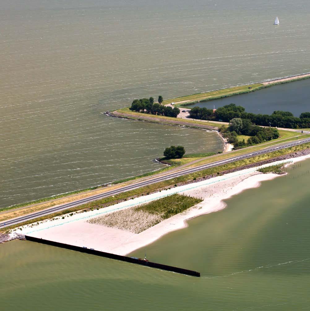
This project, Horseshoe Bend Island—an island self-designed by the strategic placement of sediment on the Atchafalaya River—is an excellent example of using natural systems and processes to engineer with nature. In 1999, placement site capacity for shoal material dredged from Horseshoe Bend had reached its upper limits. The U.S. Army Corps of Engineers (USACE) New Orleans District (MVN), seeking to meet the anticipated disposal requirements for future channel maintenance, evaluated three possible solutions. The third alternative was selected: using the dredged material to enhance the creation of an island and wetlands. In 2002, MVN, Weeks Marine, Inc., Great Lakes Dredge and Dock Company, and Mike Hooks, Incorporated, began placing dredged sediment upriver, allowing the river’s energy to disperse the sediment; quantification of benefits associated with the effort began in 2012 by the U.S. Army Engineer Research and Development Center and MVN. The project resulted in numerous engineering and environmental benefits, including a reduced need for dredging and increased habitat for a variety of species. This project won the 2015 Western Dredging Association Gold Environmental Excellence Award, the 2017 Western Dredging Association Adaptation to Climate Change Award, and the 2017 Dredging and Port Construction Innovation Award. The project was also certified in 2017 as a World Association for Waterborne Transport Infrastructure (PIANC) “Working with Nature” project.

Producing Efficiencies
Dredged material mounds consisting of shoal material removed from a federal navigation channel during routine channel maintenance were strategically placed upriver of a persistent sandbar and were dispersed naturally by river currents. Placement of the sediment was conducted every 1 to 3 years; these activities nourished and contributed to the development of the approximately thirty-five-hectare island mid-river.
Using Natural Processes
The project reduces demands on limited resources, minimizing the environmental footprint of the project and enhancing the quality of project benefits. The following project benefits were quantified based on available data: improvement of the environment or ecosystem sustainability, carbon sequestration, nutrient sequestration, research opportunities, and navigation support and maintenance.

Broadening Benefits
The Horseshoe Bend Island landscape and landform characteristics produced multiple environmental benefits, such as a successful wading bird rookery and abundant and diverse invertebrate communities. Economic and social benefits include reducing the overall cross sectional area of the river, increasing the river’s flow through the navigation channel, and reducing shoaling and maintenance dredging requirements.

Promoting Collaboration
Before sediment was placed in mounds upriver of the sandbar, the project team consulted with the U.S. Fish and Wildlife Service (USFWS) and the Port of Morgan City to obtain feedback and support on the innovative proposed sediment placement approach as a more sustainable alternative to filling in wetlands or dumping the sediment in Atchafalaya Bay. USFWS provided visual inspections of the island and the Port of Morgan City provided commercial vessel data used for quantifying navigation benefits associated with the project.