4 minute read
Redman Point–Loosahatchie Bar Environmental Restoration


Mississippi River near Memphis, Tennessee, United States
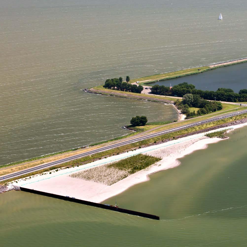
This project is part of a landscape-scale conservation plan, “Restoring America’s Greatest River.” The primary objective for this project was to restore river flow to 11.25 miles of secondary channel habitats through the construction of 11 notches in 8 dikes, 1 chevron, and 2 roundpoints. Rock dikes constructed in the 1960s to keep flow contained in the main navigation channel led over time to the unintended consequences of decreased productivity of nesting interior least terns, restricted riverine fish movement, significant loss of aquatic habitat in areas outside of the main channel, and degraded river-connected wetlands. The project was conducted in a secondary channel area of the Mississippi River from 2008 to 2009 by the Lower Mississippi River Conservation Committee (LMRCC). The effort was primarily undertaken to improve recreational opportunities for the public and habitat conditions for wildlife; habitat for three federally listed species of wildlife in particular were targeted: the pallid sturgeon, the fat pocketbook mussel, and the interior least tern.
Article cover: A trackhoe excavates rock to make a notch in a dike as part of the project. (Photo by USACE Memphis District)
Producing Efficiencies
The U.S. Army Engineer Research and Development Center fisheries team identified secondary channel habitats as essential to the lifecycles of three endangered species in the Lower Mississippi River: the interior least tern, the pallid sturgeon, and the fat pocketbook mussel. Conditions identified from life history and habitat studies were used by U.S. Army Corps of Engineers (USACE) Memphis District (MVM) engineers to develop engineering modifications that restored flows into these important habitats with no detrimental effects on the navigation and flood control missions. The MVM developed a small-scale, physical, moveable-bed model—or micro model—for this reach of the Mississippi River; the model was used to ascertain how to deliver modifications that would maximize the response to environmental changes while avoiding impacts to navigation.


Using Natural Processes
Environmental modifications were strategically located, allowing the river to naturally recreate a low-water channel through the project area during seasonal high flows. This process will decrease the possibility of future sedimentation; the effort will also allow fish passage, increase the creation of natural habitat for a variety of fish and bird species, and provide additional recreational opportunities to the community.

Broadening Benefits
The resulting habitat benefits not only the three endangered species, but also a host of recreational and commercial fish species, neotropical migratory birds, and migratory shorebirds. The project promotes naturebased tourism by providing recreational access into the 11.25-mile reach outside the navigation channel, which is near the large metropolitan area of Memphis, Tennessee. This project also provides opportunities for conservation education.

Promoting Collaboration
Using collaborative processes to organize and focus interests, stakeholders, and partners resulted in a project that provides benefits to a variety of ecological communities and human interests. This project was identified by a coalition of state and federal agencies, designed by USACE, funded by the U.S. Fish and Wildlife Service, and constructed by the LMRCC. The work was conducted in collaboration with the Mississippi River Trust, U.S. Geological Survey, U.S. Environmental Protection Agency, and U.S. Department of Agriculture Natural Resources Conservation Service.