
7 minute read
A circular walk from Probus to Tresillian
I recently discovered a way to get to Tresillian and back via a circular walk. I would say that subject to government COVID-19 regulations, it's a perfect walk on a sunny February morning - cold and crisp with blue sky. It’s also a good winter walk because in the spring and summer there are sometimes cattle in the first field.
The walk is interesting because you get to see two ancient celtic crosses a significant civil war site and a 19thcentury engineering marvel, all on top of some fabulous countryside. It's about a two-hour walk, just under 10km/6 miles, with a few hills, so moderate difficulty.
Advertisement
Oh, and there is plenty of mud!
Start at the village square. Walk down Fore Street and turn left to Treviglas Lane. Follow the lane to the bottom, turn right and look for the footpath sign on the left where Treviglas Lane meets the bottom of Treviglas Rise. Follow the footpath down to the stream and cross over the wobbly wooden stile into the field. The public footpath goes straight up the slope ahead of you. Take a deep breath and when you get to the top of the first steep bit, stop, turn around and take in a lovely view of Probus. Keep the hedge to your left and head towards the black grain silos at Trelowthas Farm. Climb over the stone stile (to the left of the double metal farm gates) and cross the second field diagonally - heading towards the farm buildings and silo.

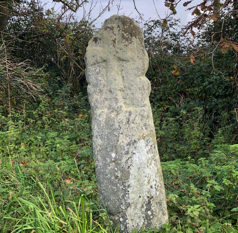
At the gates, turn left and walk through the farm, once the site of a Manor House and an ancient chapel. Just before the T junction, look for the ancient wayside cross on the left. When the light is right, you can still see the carved cross on its head. The cross was found in a nearby field in the middle of the last century and then moved to its current location.
At the T junction, turn right and walk about 50m. On the left, you will see a footpath that leads to the A390 Probus bypass. Using extreme caution (vehicles can and do travel pretty fast on this section), cross the bypass and you’ll see a short footpath to a gate, and beyond that, a quiet back road leading to the cottage at West Trelowthas. Walk straight on and turn right at the T junction. The next section is a level country lane with little traffic and nice views over farmland.
You will see a milestone on the right.

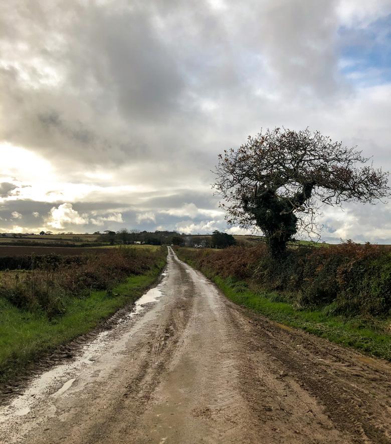
After about 1.5 km, turn right at the cottage on the T junction. The road slowly winds downhill passing Carharthen Farm.
It's worth stopping for a moment to take in the views of Tresillian. Continue down to the bottom and note the driveway and impressive grade II listed gatehouse to Tregothnan Estate at the junction with the A390 at Tresillian Bridge.


Before crossing the A390, take a look at Holy Trinity Church, first built as a Chapel of Ease 1878, and rebuilt in 1904 with the font, bell and pulpit taken from Merther. In front of the church is another ancient wayside cross, even more eroded than the one at Trelowthas. This cross was also found in a field and moved to its current location in the 19th century.
It’s worth looking for the plaque on the end wall of the church hall next door.
Now it's time to cross the A390 again and walk over the bridge. It can be busy, so take your time and do it safely.
Tresillian Bridge is the site of a historic English Civil War event. On 10th March 1646 Ralph Hopton, leading the Royalist forces in the west country, surrendered to Sir Thomas Fairfax, the Parliamentarian forces commander. The surrender marked the end of the Civil War in this part of the world. There is a bit of uncertainty as to exactly where the surrender was negotiated. It may have been on the bridge or perhaps over a pint of 17th century Proper Job in the Wheel Inn nearby (sadly, now closed).
Cross the Tresillian River and take the first right. Follow the road, passing the old Wesleyan Chapel (below) and then the cemetery.

Where the road turns left, walk through the metal gates and follow the flat gravel track with fields on your left. Walk for 10 minutes or so past arable fields on the left and the river on the right.

You’ll see that there have been recent groundworks near the old pumping station but ignore that and veer slightly right where there are open fields on either side of the track.
If you are lucky or have timed it right, you may hear and see a train crossing the granite and brick-built viaduct supporting the London to Penzance railway line. It's an excellent example of Victorian engineering, standing 25m high, 185m long on nine piers and opened on 1st September 1901. This viaduct replaced an earlier wooden viaduct built in 1859 and designed by the civil engineer Isambard Kingdom Brunel. The original 1859 granite piers are still visible in the undergrowth.
It's difficult not to be impressed to see something still doing the job it was designed to do 120 years before. Think of the hundreds of thousands of people who have passed over the viaduct since 1859, maybe starting off on an adventure, or returning home after a long journey. Each journey a tale in itself.
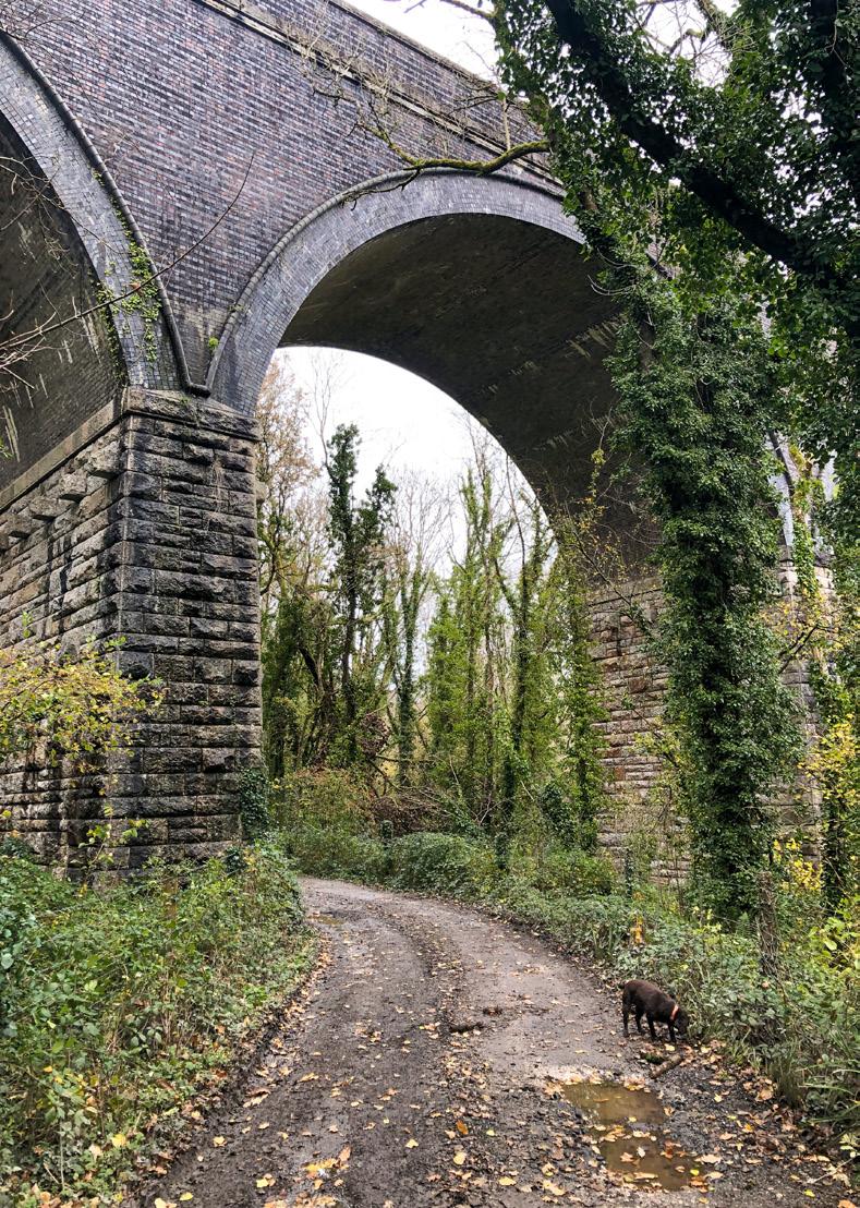
Walk under the viaduct and continue on. Ignore the footpath sign and stile on your left as that heads north towards Trehane Barton and Nankilly. After another 100m, at the gated entrance to Trehane Mill, take the footpath to the right. It’s narrow and the entrance is marked with a yellow footpath sign. It's a bit rough here, so watch your footing.

Walk down the slope, cross the wooden bridge and follow the path to the left, continuing up the slope through a lovely beech wood.
To the left, occasionally visible amongst the woods is Trehane Mill, said to be on the site of an ancient corn mill first recorded in 1596, and now a private residence. There is a spring ahead, and the path can be a bit muddy, but continue up the slope and you’ll reach the edge of the wood at a metal farm gate. Go through the gate and you’ll see a fairly narrow field that slopes upwards to your right. The footpath is easily distinguishable, so walk up the slope diagonally across the field. Don't forget to turn around to take in the view of the stunning countryside. It’s quite steep, so you may need to stop and get your breath anyway!
At the top of the hill, go through the gate into a pleasant arable field. The public footpath runs diagonally from here to the opposite corner where a wooden telegraph pole is visible on the ridgeline.
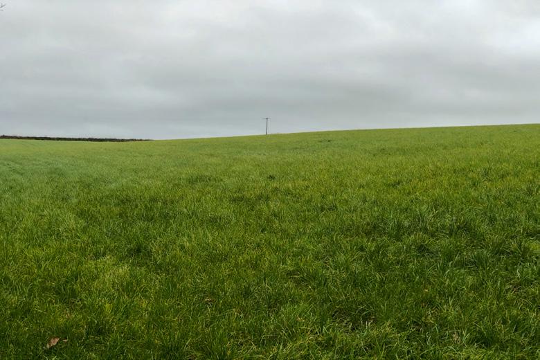
The telegraph pole is at the intersection of four fields. Before going any further look to the right and take in the lovely views of Probus.
The final destination is clearly in sight, and I'd like to say it's all downhill from here, but that would be a lie. Take the farm track directly ahead and walk towards Probus. It is not well used nowadays, but in years gone by it must have been. Keep going downhill, navigate around a large fallen tree and cross over a small stream.

Eventually, you will see Spring Acre on the left, a smallholding on the right as the path finally meets the back road to St. Erme and Trispen.
Turn right, walk along the lane to the Tresillian River at what is known locally as ‘bathing pools'. In years gone by pupils of the old Probus School swam here and there was even once a diving platform.
Proceed to the railway bridge over the B3275 Ladock Road - it's another fast road so cross carefully. From the other side, you have choices, but all options are uphill.
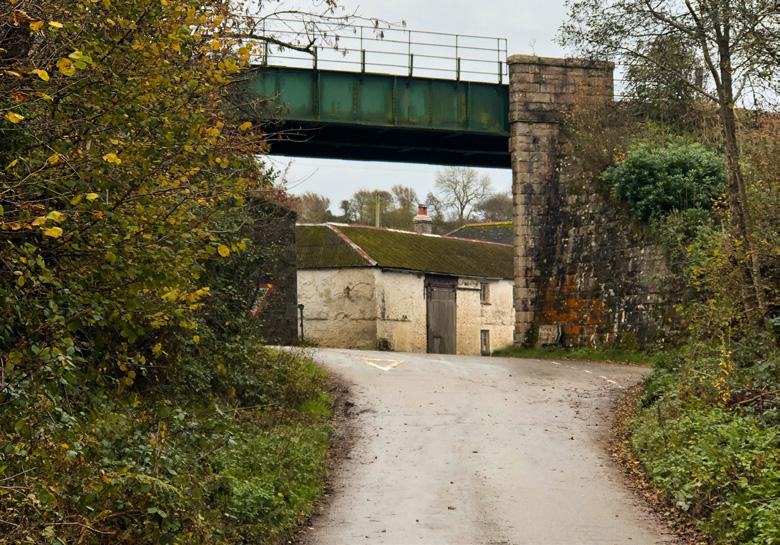
The most direct route is to walk up Tresowga Lane, through The Green to get to Fore Street and the village square. Alternatively, if energy levels permit, take the footpath between the railway bridge and the old Tresowga Garage and walk back via Lamellyn Farm, and Chapel Street.
Really hope you like the walk.
John

