TRẦN QUÝ DANH

Urban Design Student International Training Institute - University of Architecture of HCMC
ID: 18519900006
Unit leader - Dr.Arch. Nguyễn Cẩm Dương Ly
Tutor - Dr.Arch. Trần Mai Anh

LOCAL CONNECTIVITY
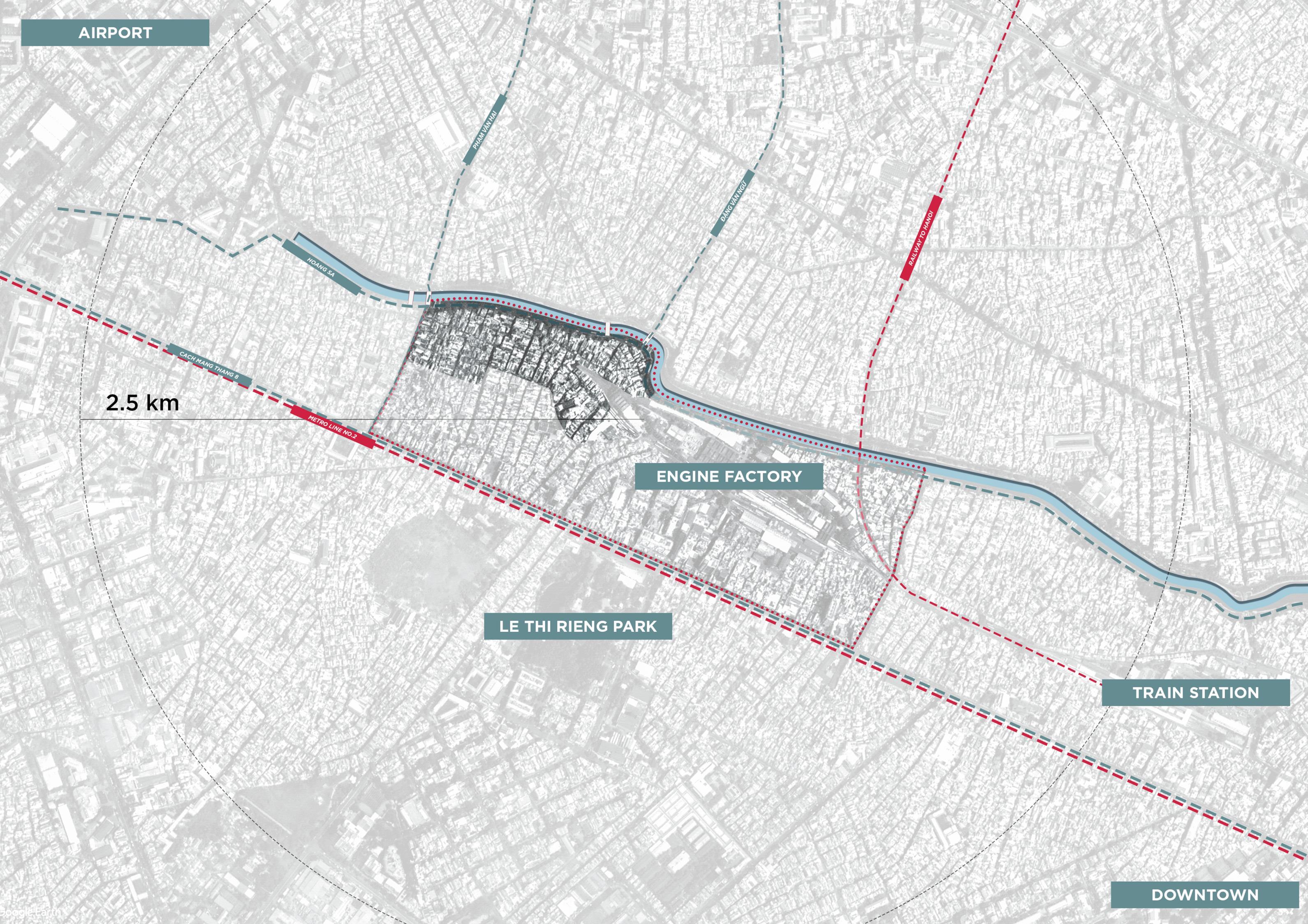
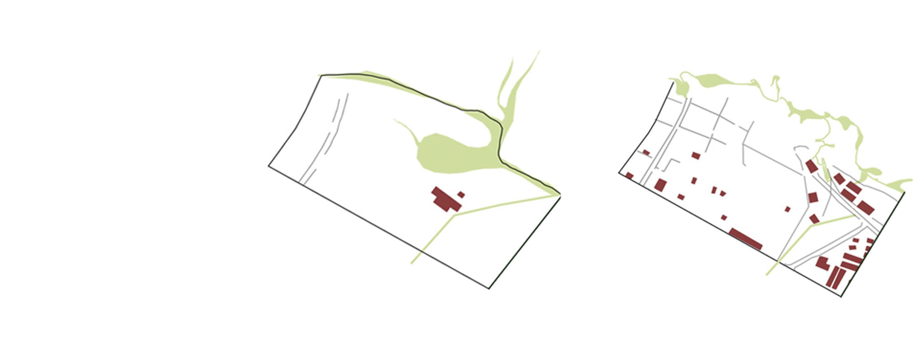
The area of Hoà Hưng railway station was developed during the French period and before 1975 regime. Beginning with the planning and construction of the French railway station of Saigon Hoà Hưng station, the development of neighborhood surrounding the area started with the construction of planned and unplanned housing. The environmental problems such as flooding, traffic congestion, downgraded living conditions are main issues to be resolved since decades by the government plans. Since 2007, the government has plans to develop the new subway lign No.2 (Bến Thành – Tham Lương) and subway station in this quarter, while Hoà Hưng railway station still preserve its function as central railway station of the city.
HISTORICAL TIMELINE
BACKGROUND
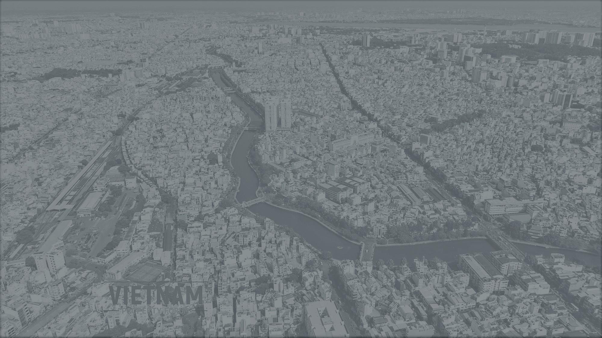
THE SAIGON RIVER AND THE DONGNAI RIVER MERGED BEFORE REACHING THE EASTERN SEA IN THE SOUTH PART OF THE COUNTRY, AND THIS IS WHERE HCMC WAS LOCATED IN THE PAST. SAIGON IS THE NAME GIVEN TO THIS DELTA CITY. IT WAS ONCE THE CAPITAL CITY OF VIETNAM. HCMC IS THE BIGGEST CITY IN VIETNAM AT THE MOMENT, COVERING 2,095.5 KILOMETERS ("HO CHI MINH CITY" 2015). HCMC IS regarded as a thriving metropolis ("CLIMATE ADAPTATION STRATEGIES, HCMC" 2013).
URBANIZATION
THE CITY HAS RAPID URBANTZATION IN THE PAST DECADES. NOW A DAY, IT BECAME THE FAST GROWING ECONOMY CITY, THE NATION'S FINANCIAL CAPITAL. THE HIGHEST GDP AND CENTER OF VARIOUS INSTITUTIONS. MOST OF THE INDUSTRY AND HARBORS IN THE SOUTH OF VIETNAM ARE LOCATED IN THIS AREA. MOREOVER, HCMans USED AS AN INTERNATIONAL TRADE HUB DUE TO. RTS TOCATLON AT THE INTERSECTION OF STRATEGIC INTERNATIONAL MARITIME ROUTES ("CLIMATE ADAPTATION STRATEQIES, HCMC". 2013). AS A VCONSEQUENCE, THE CITY ATTRACTED PEOPLE FROM ALL ACROSS THE COUNTRY. MORE THAN EIGHT MILLION PEOPLE ARE NOW LIVING IN THE CITY AND IT IS CONTINUING TO GROW
1780s - OLD FACTORY SURE
AT THIS TIME, THIS AREA STILL ACTS AS A SUBURB. THEREFORE. THERE IS AN OLD FRENCH FACTORY HERE.
1800s LOCOMOTIVE FACTORY
LOCOMOTIVE FACTORIES WERE FORMED IN THE AREA. THE LAND AROUND THE FACTORY IS UTILIZED AND BUILT TO SERVE THE STAFF IN THE ENTERPRISE

1954 - 1959 NAM THAI PARISH
ONE OF THE SOCIAL UPHEAVALS HAPPENED AT THAT TIME. IT WAS THE MIGRATION IN
1968 HO HUNG STATION IN DISTRICT 3
AT THIS TIME THE RAILWAY DEVELOPED. THERE WAS A TURNING POINT IN 1975 AFTER THE REUNIFICATION OF THE COUNTRY.
1975 - 2000s RENOVATING THE NHIEU LOC CANAL
THE AREA BENEFITED FROM THE RENOVATION PROJECT OF CANAL LOL LOC.
TOWNHOUSES BEGAN TO APPEAR ALONG HONG SA STREET.
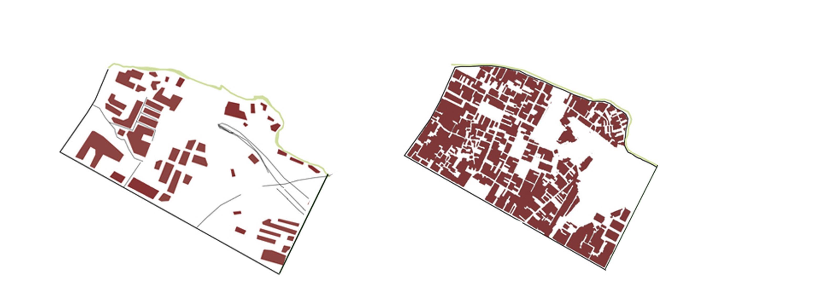
2013 - METRO LINE NO.2
THE ELEVATED RAILWAY PROJECT HAS BEEN APPROVED BY THE STATE. THIS WILL BRING HUGE POTENTIAL TO THE REGION.

Analysis Mapping

THE COGNITIVE MAP
A cognitive map is a type of mental representation which serves an individual to acquire, code, store, recall, and decode information about the relative locations and attributes of phenomena in their everyday or metaphorical spatial environment. The main issue in this site is ,in the area, there is a lack of public spaces and lack of orientation for pedestrians and people move on the road. Areas with many gaps and small spaces are forgotten, these are considered points that can impact and change.
Therefore, the view of the design will be towards the space that is oriented to pedestrians, people accessing the area and existing residents. Design directional routes and recommendations from places to places



NEW CONNECTION
Nhieu Loc Thi Nghe canal (also known as Nhieu Loc canal for short, especially the canal section in District 1 is also known as Thi Nghe canal) is a canal in Ho Chi Minh City, Vietnam. The canal is 8.7 km long (formerly about 10 km long) and flows through the districts of Tan Binh, 3, Phu Nhuan, and Binh Thanh
The whole canal is nearly 9 km long, with an average width of 27m in the upstream and 90m in the downstream; The average depth of the canal is 5m, the canal flows from the Northwest to the Southeast, with a basin of 12 km wide, empties into the Saigon River at Bach Dang Wharf.
Before the names of Ba Nghe and Thi Nghe, the canal's name was called Prêk Kompon Lu by the Khmer, then the Vietnamese called it Nghi Giang and Binh Tri canals. According to writer Son Nam in the book Ben Nghe Xua, Nhieu Loc canal originates in Bau Cat area, Tan Binh district. Nhieu Loc used to have many small branches but now it has been filled up such as Truong Binh stream, Cau Hue canal, Ba Tiem canal. According to Gia Dinh Thanh Thong Chi, "Binh Tri River (known as Ba Nghe River in Binh Tri province) north of town, from Tan Binh river around the back, across a cross-bridge, upstream, but 4 and a half miles to the west, to the Cambodian bridge, flows to the northwest about two miles to Cho Chieu bridge, flows to the south about 4 miles to Phu Nhuan bridge (known as Keo hamlet), another 6 and a half miles to Hue bridge, the source of the wasteland full of swamps pond"
The name Thi Nghe channel or Ba Nghe channel is named after Mrs. Nguyen Thi Khanh, the eldest daughter of the Kham sai Chanh Van Truong, Nguyen Cuu Van, whose husband was a secretary, so contemporaries called it Mrs. Nghe. Ms. Nguyen Thi Khanh is the one who built the bridge over the canal for people to travel, so both the bridge and the canal are named after her. The channel is described as follows in Gia Dinh Ancient Posts
Nhieu Loc Thi Nghe canal is nearly 10 km long, flows through districts 1, 3, Binh Thanh, Phu Nhuan, Tan Binh, and flows into the Saigon River. More than 30 years ago, the canal was heavily polluted, the houses were shackled and the grass was overgrown.
Since 1993, the city government plans to invest in renovating and building two canal roads. Ten years later, Nhieu Loc Thi Nghe environmental sanitation project with a total investment of nearly 8,600 billion VND started construction.
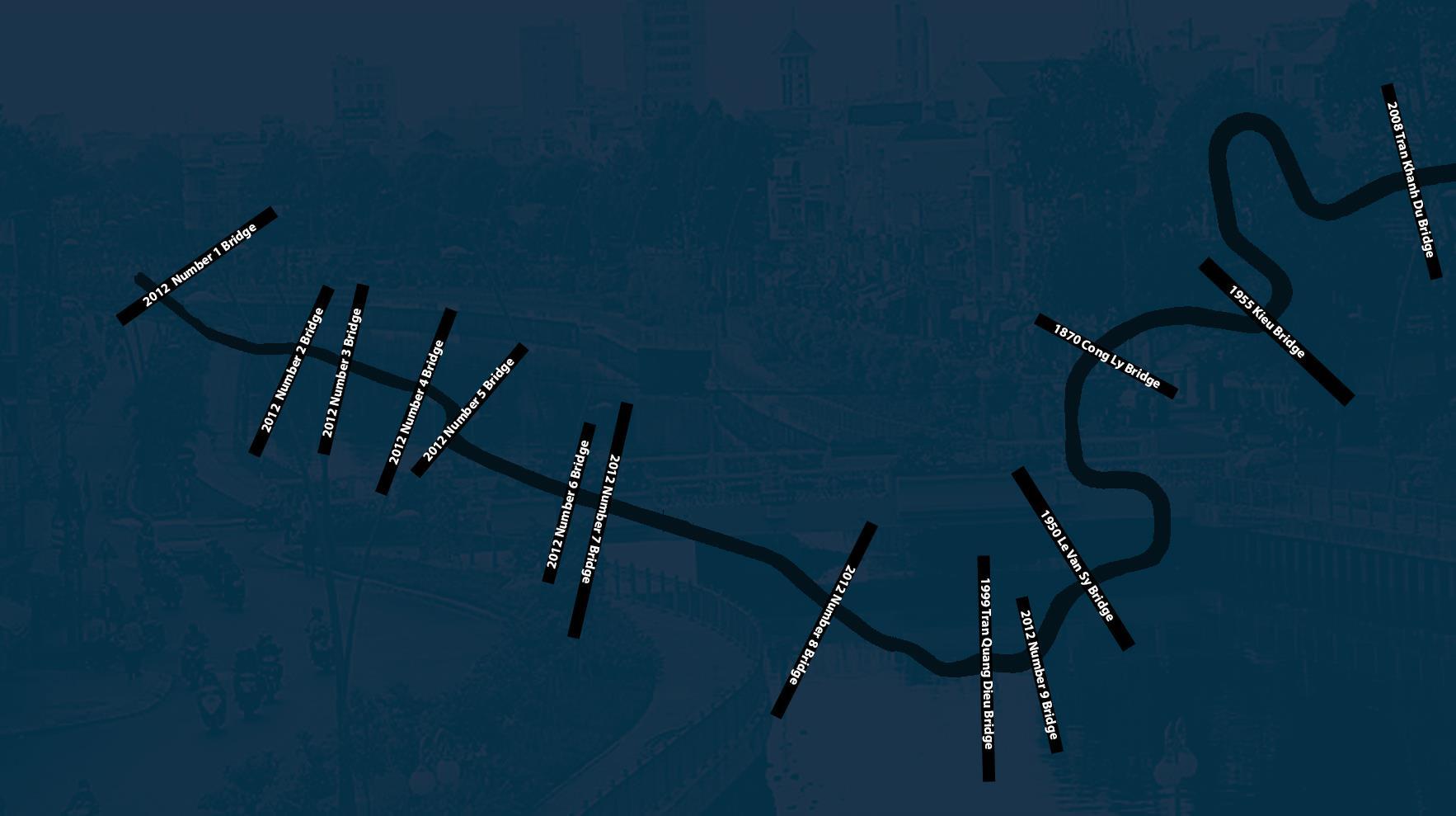
The canal bank crossing the Cong Ly bridge (District 3) in April 2021 and documentary photos in the 1970s. When the renovation project was implemented, thousands of shacks were cleared and resettled for nearly 7,000 households. The canal was dredged nearly 1.1 million m3 of land, installed nearly 16 km of embankments, built 9 km of culverts, reinforced bridges, installed large capacity pumps, built roads on both sides...
10 years ago, Nhieu Loc Thi Nghe canal was inaugurated, the government also invested more than 554 billion VND for the project to renovate Truong Sa and Hoang Sa roads, creating landscapes on the canal route to become two beautiful roads of the city. city.
The canal flows through Phu Nhuan district at the present time and the photo was taken in 2005 in the book Saigon 1955 Ho Chi Minh City in 2005 (published by the French Consulate under the sponsorship of the French Consulate). At this time, the canal houses were cleared, and the Hoang Sa - Truong Sa route gradually completed.
The canal section winds through Kieu bridge area (Phu Nhuan district) with clear blue water, straight trees on both sides. In the renovation project, 16 bridges along the canal route were repaired and built.
The landscape on both sides of the canal after renovation becomes fresh and green. Many species of trees, flowers, miniatures .. are planted on the sidewalks of Hoang Sa and Truong Sa streets.
Every afternoon, Ms. Lai Thi Loc was pushed by her daughter in a wheelchair to walk along the canal along the Truong Sa road.
FUNCTIONAL MAPPING
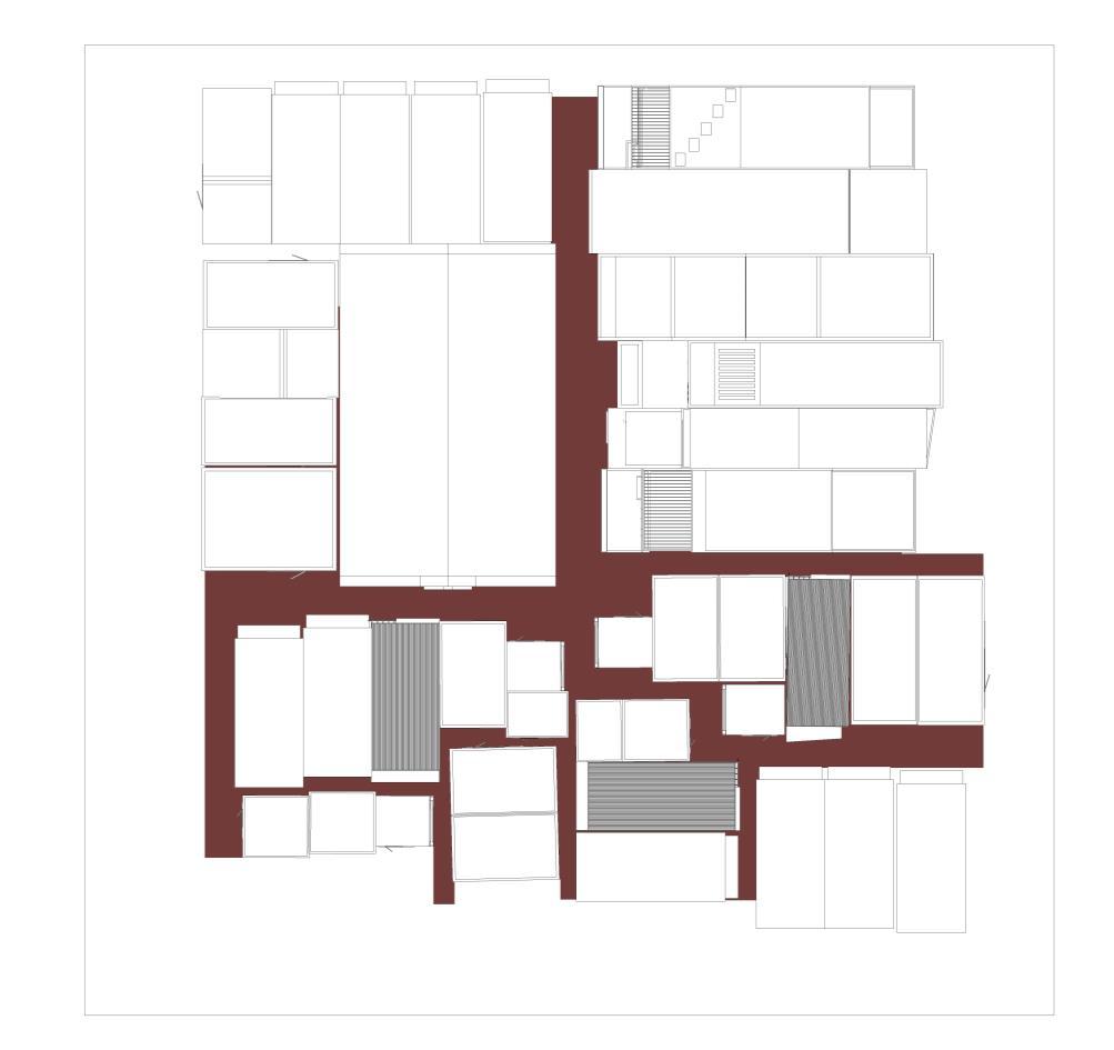
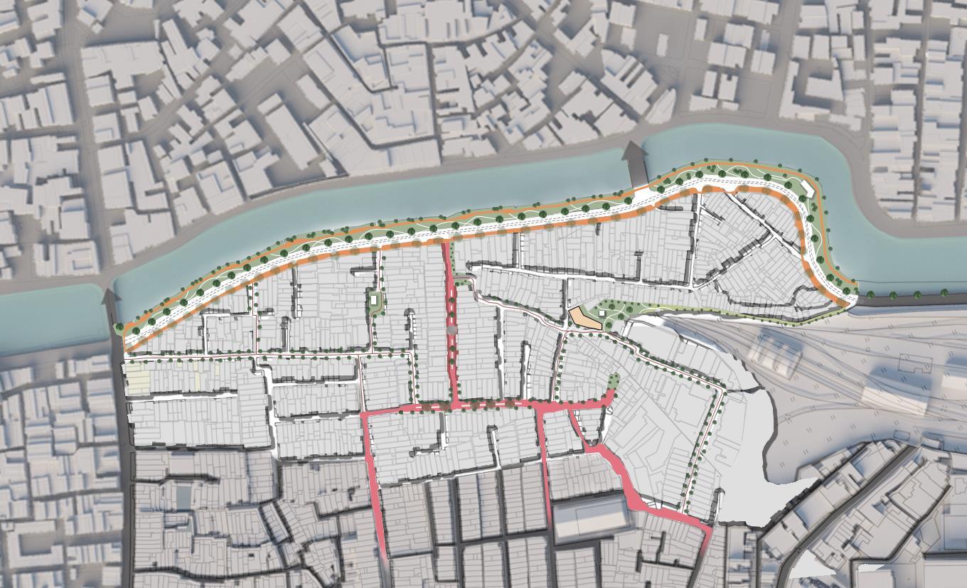
This map is defined by the major and minor alley systems in the area. We believe that it is that spontaneity that forms the existing visible and invisible divides. These boundaries form around areas of different community groups and take on different forms These communities have a relationship in the urban overall through spatial ranges of alleys, marked in red on the map.


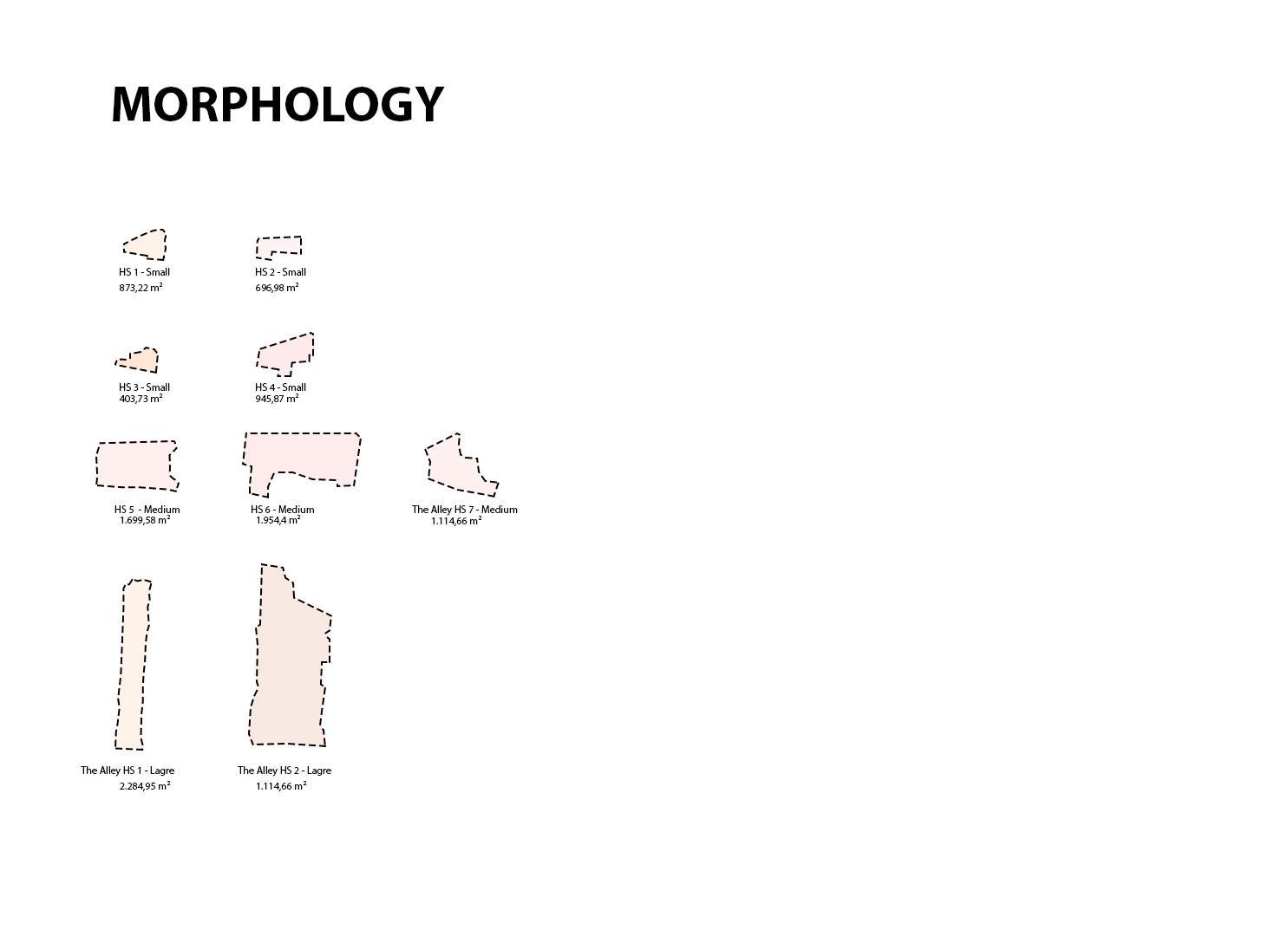
The urban form of a city, often referred to as 'morphology', can be represented by means of black and white figure ground plans which contrast open spaces with the built fabric. The urban morphology is informed by a city's street network and will possess a grain that describes the finesse or coarseness of the pattern of enclosed blocks between streets containing development.
The built character of neighbourhoods is directly linked to their grain because the latter dictates the size, geometry and relationship between different parcels of development, and it also informs the scale of the buildings. The public realm (roads, payments, landscaping and other outdoor spaces) and morphology of a city are, in some ways, opposite. Physically, they represent the inverse, negative space of one another. Socially, when we inspect the grain of a city we are, in fact, observing of the threshold between the public and private domains.

BUILDING HEIGHTS
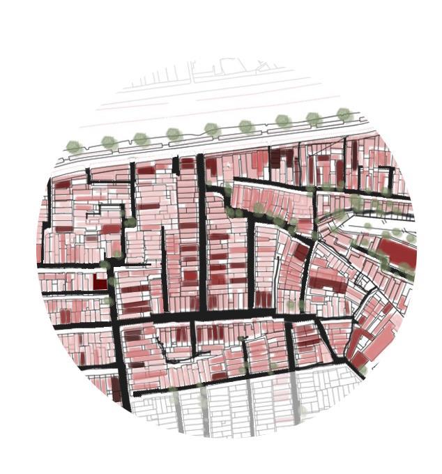
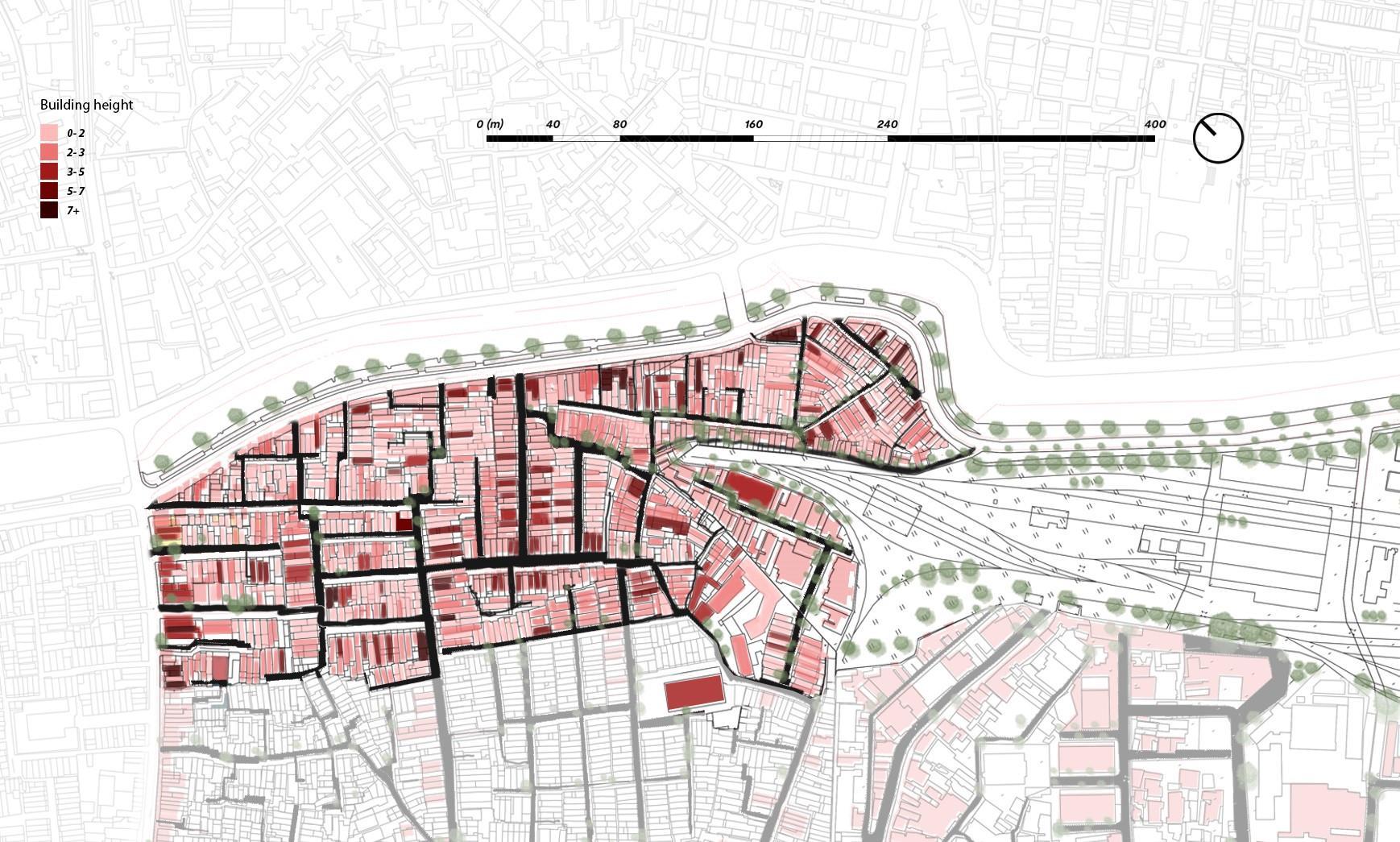
Building height is an important data to enhance economic analysis of (two dimensional) building footprints, which can be used for the analysis of urban development and urbanization processes, or to derive key socio economic indicators on habitable or retail space
1. The Giesue Churchs The Alleys
NODE ANALYSIS
A node is a centralised hub outside of the city. It's where there's activity and the infrastructure to support it, such as residential, commercial and retail buildings, usually alongside public transport options.

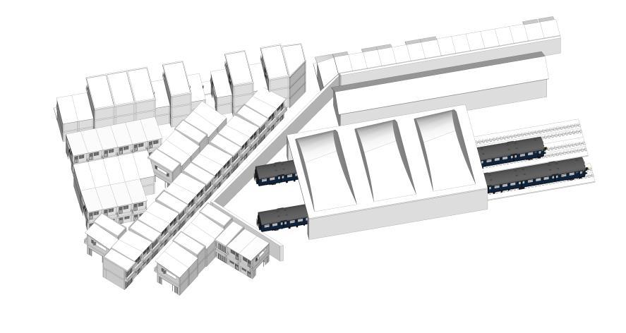


2. The Nam Thai Churchs The Alleys
3. The new residents with the wall of factory
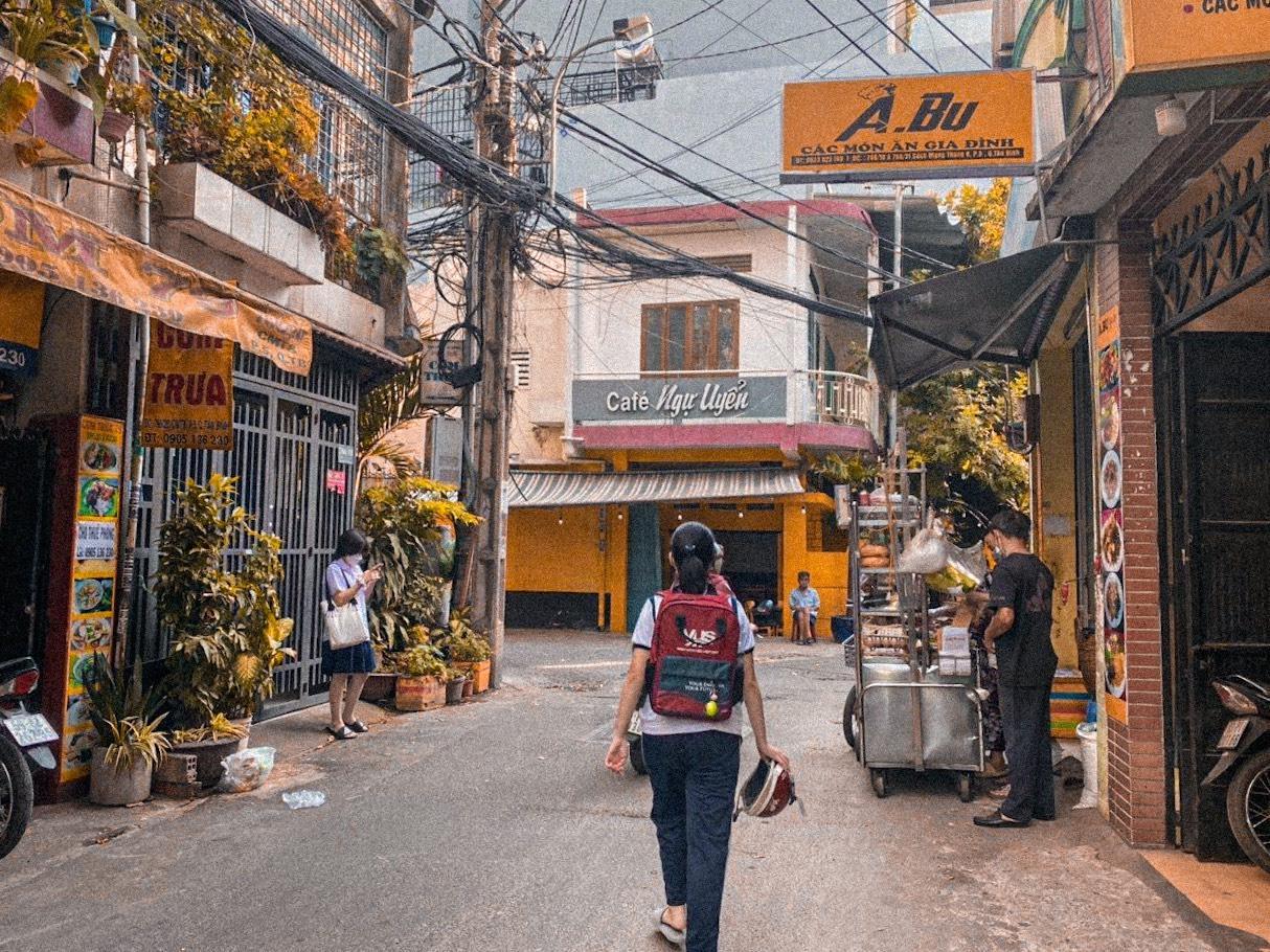
4. The main alley with lots of activities
1. The Giesue Churchs The Alleys
2. The Nam Thai Churchs – The Alleys
4. The main alley with lots of activities

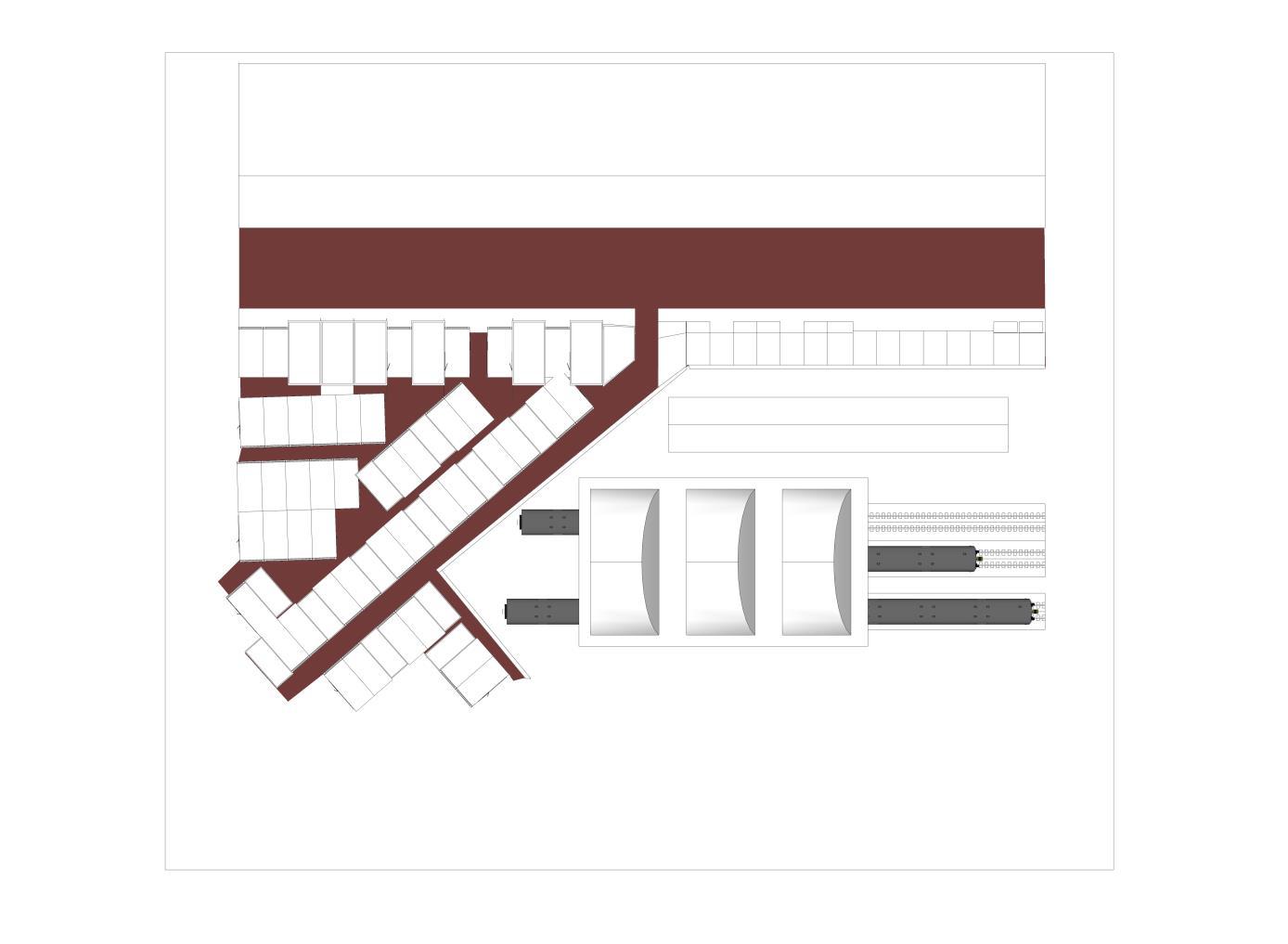
3. The new residents with the wall of factory

ISOMETRIC ZOOM IN
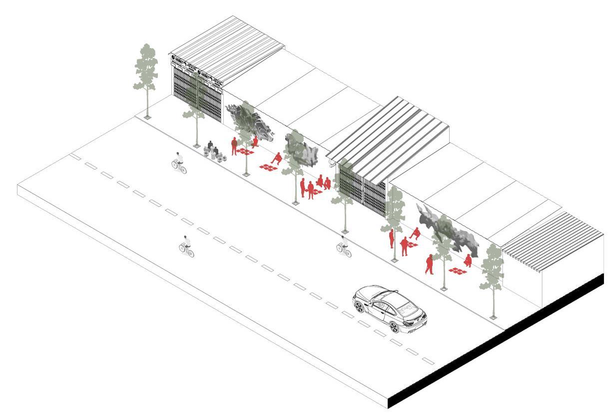
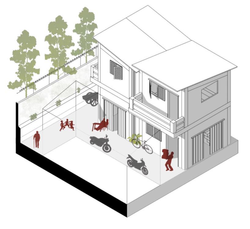


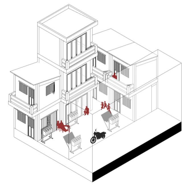


1. The alley with the wall 2. Node the intersection 3. The Deadend 1 6. The node link the the main street
4. The Dead end 2 5. The front of Hoang Sa 7. The main Alley

BUBBLE DIAGRAM
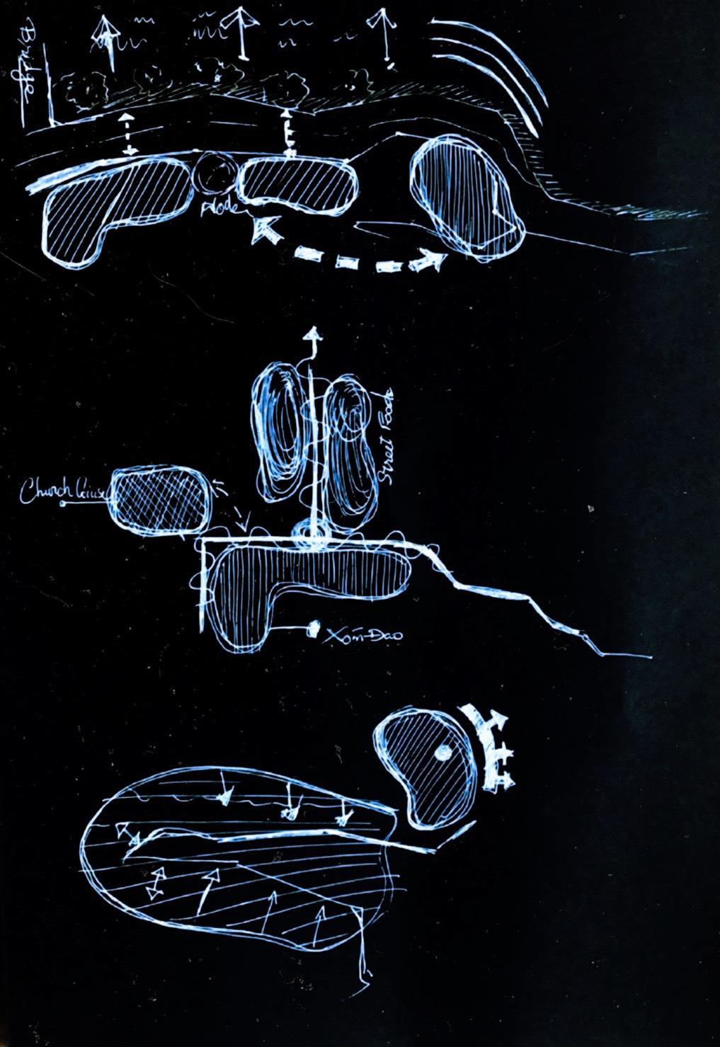
A Bubble Diagram is a very simple (hand) drawing that consists of roughly drawn bubbles (representing spaces) connected by solid lines, broken lines or wavy lines etc. to specify the type of relationship between the spaces.
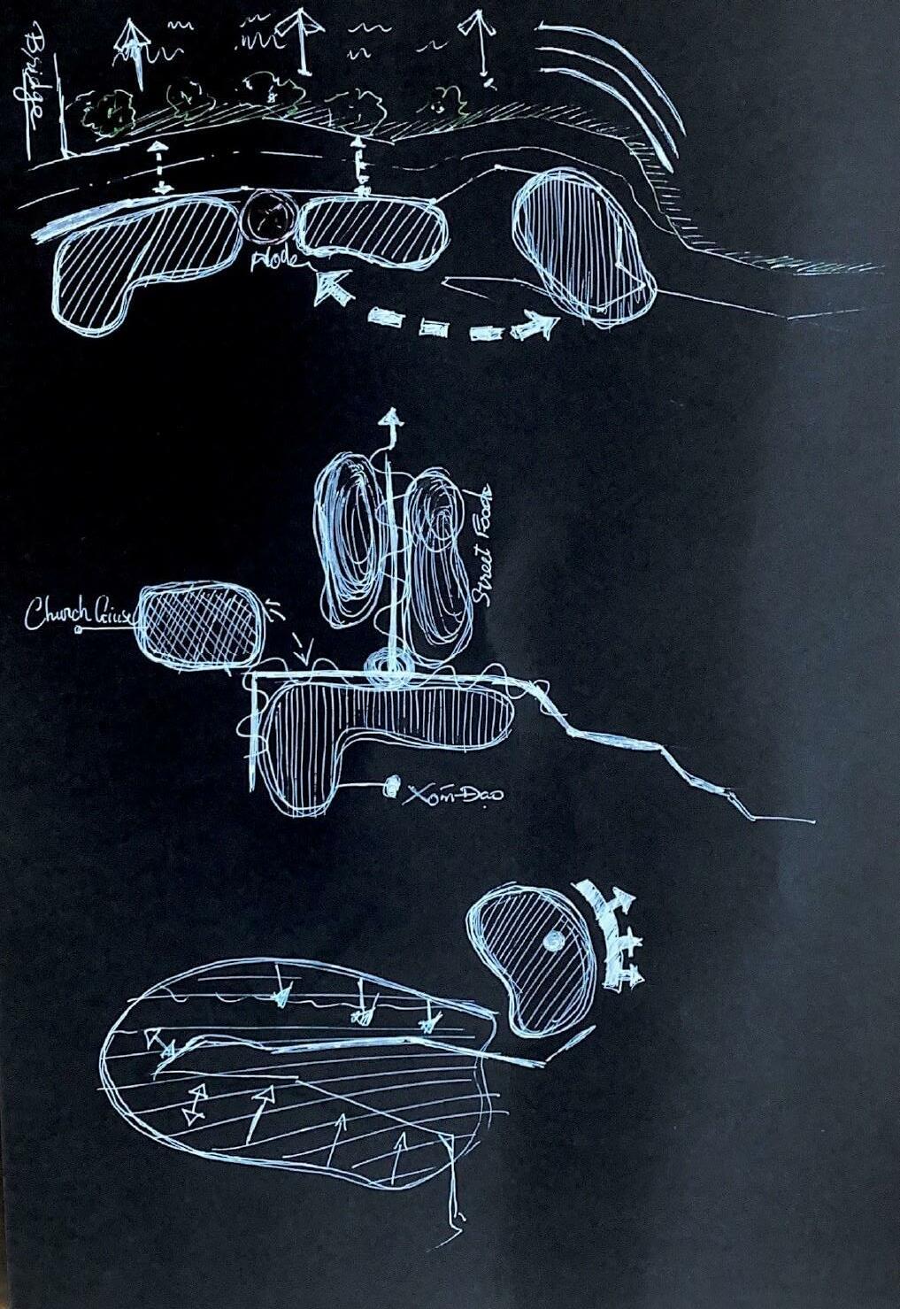

THE TRANSIT ANALYSIS – STRATEGY
POINT

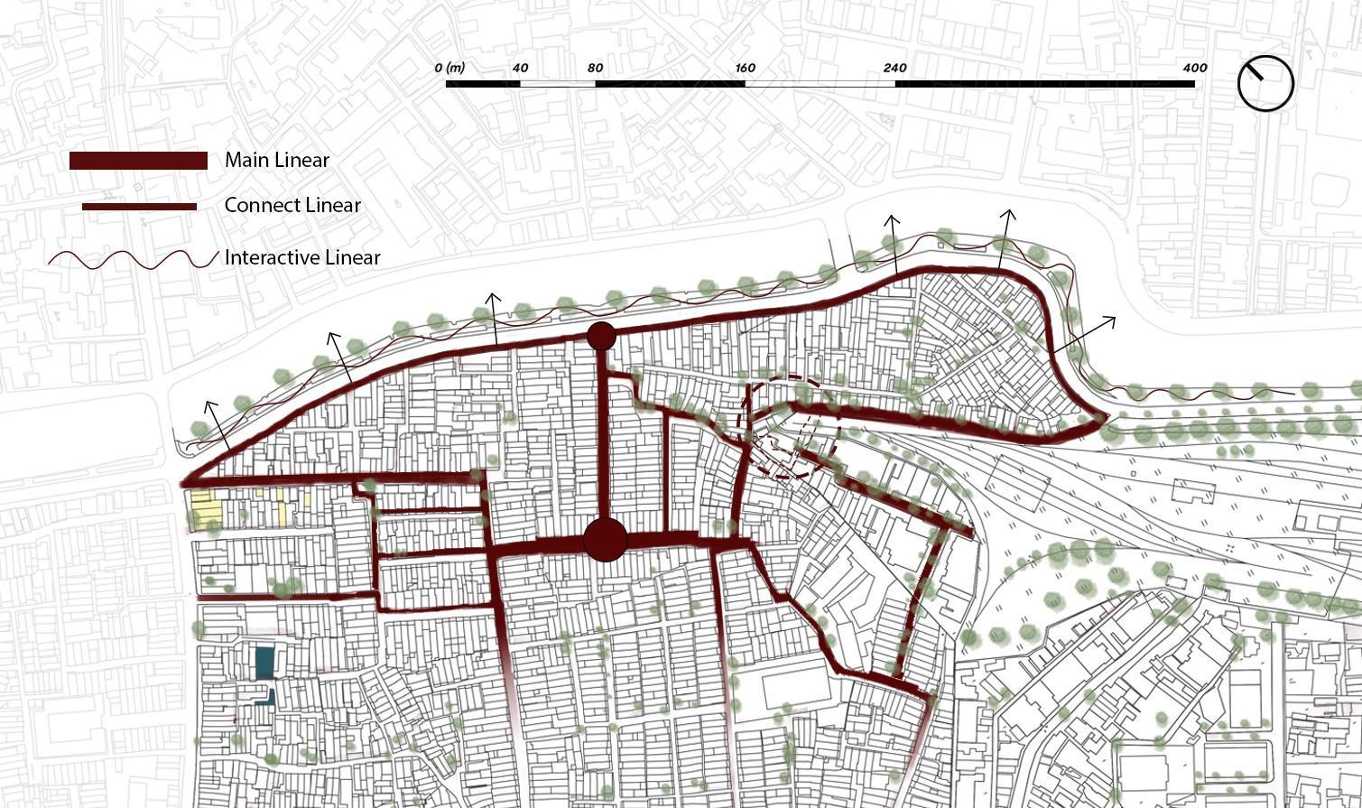
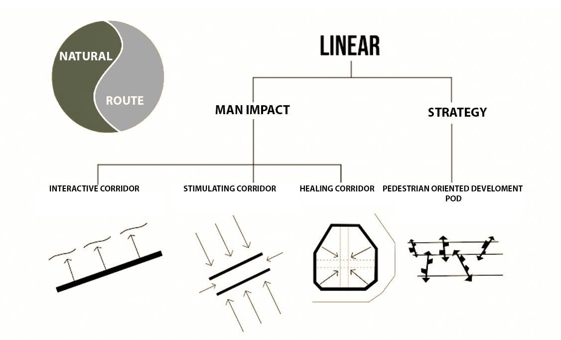
THE CONCEPT DIAGRAM – THE MAIN STRATEGY

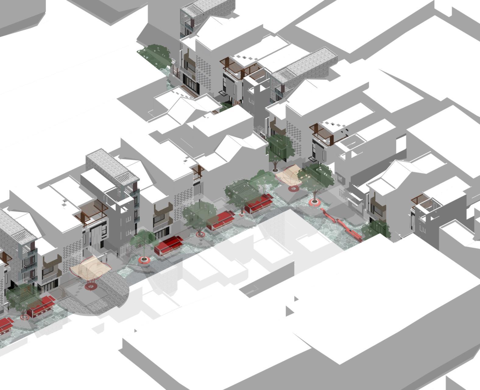
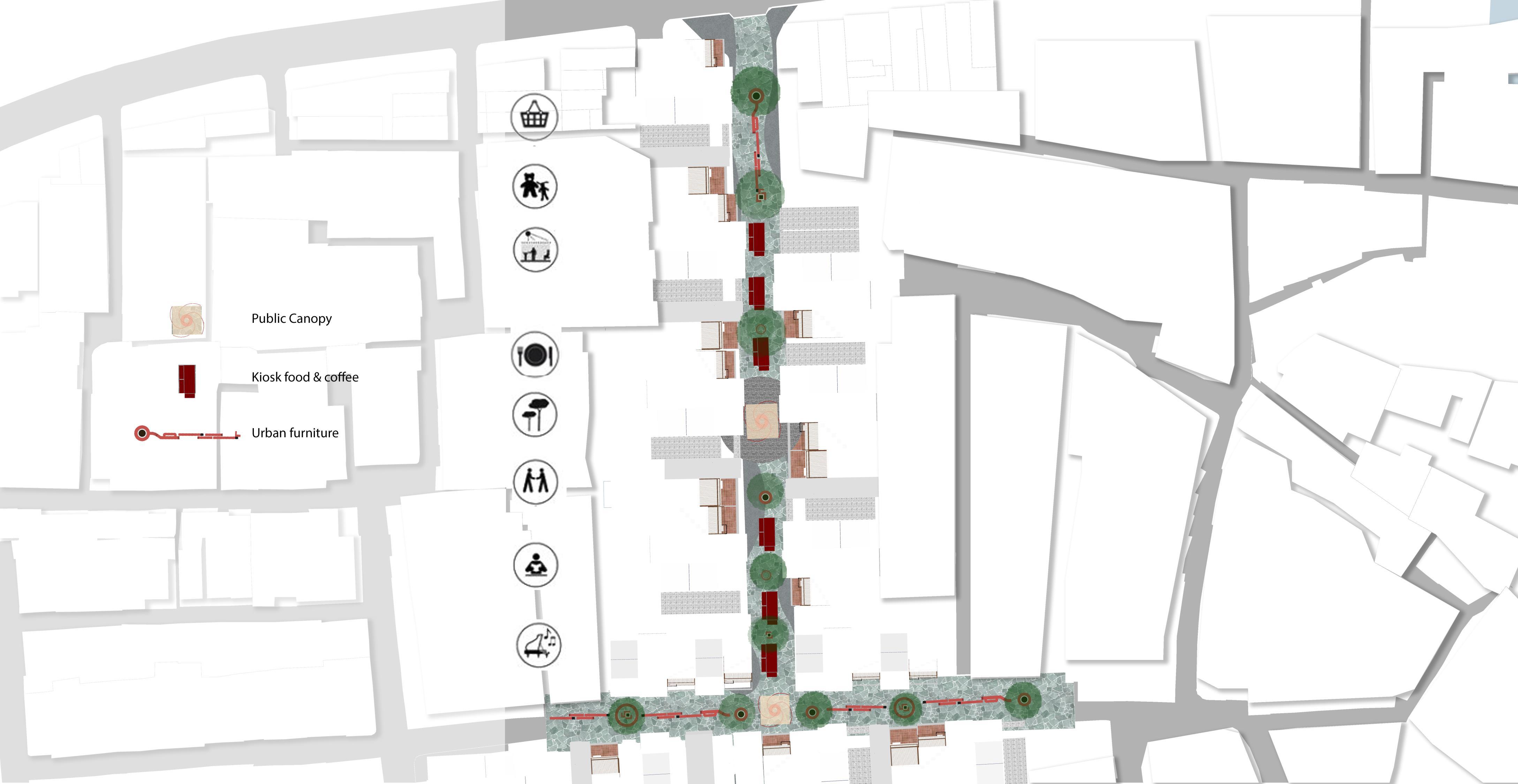
Site Intervention

1. Commercial Street
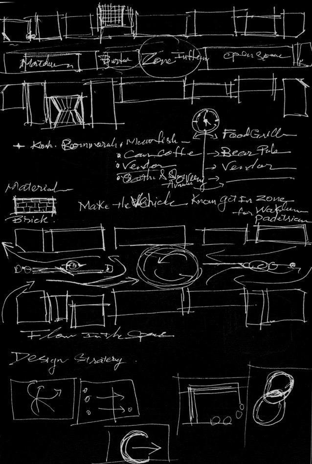
Redesigning the main alley, transforming the alley shape by compromising with residents, the route not only provides pedestrian orientation but also creates areas for shopping and dining and other spaces. open space


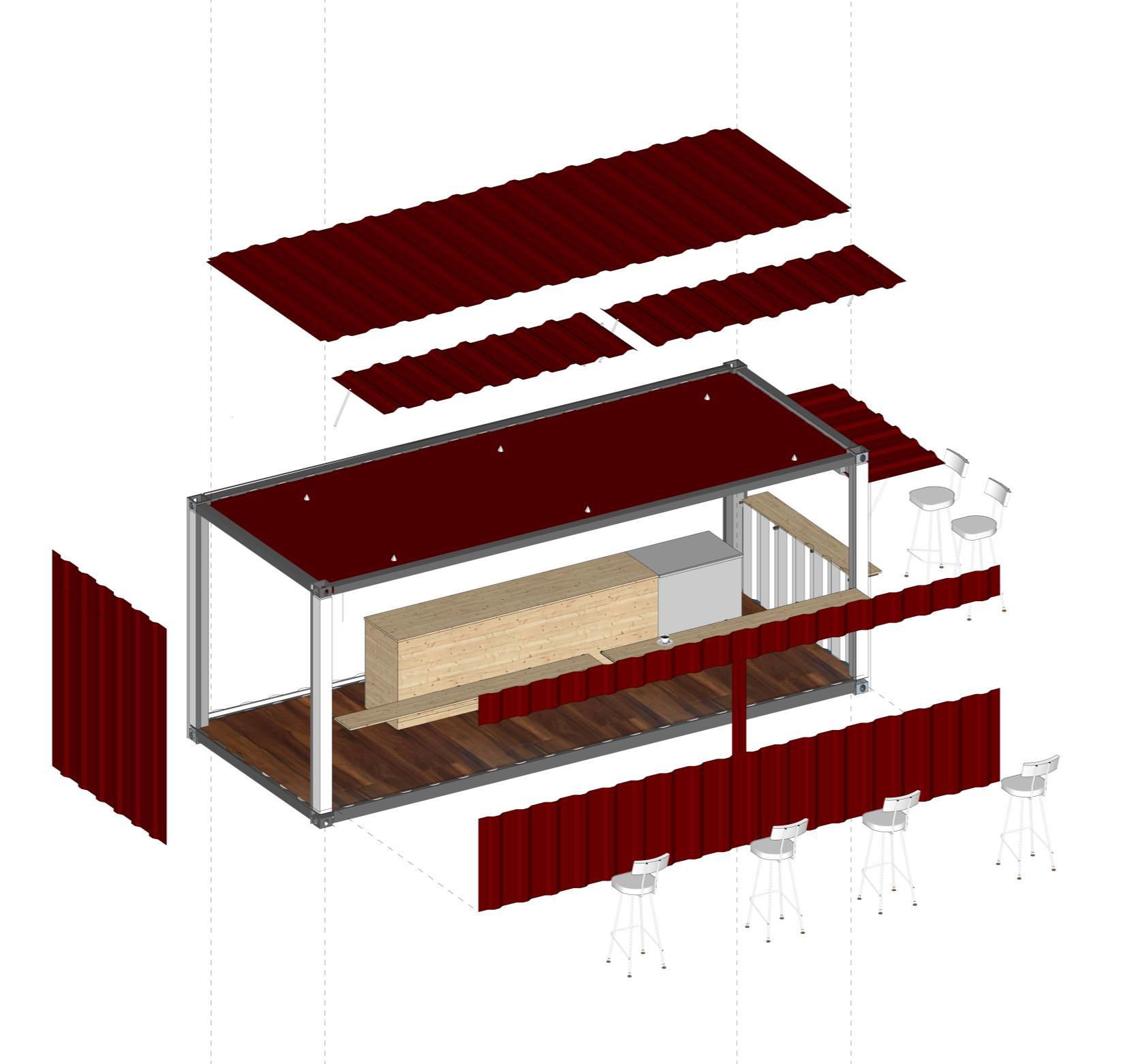
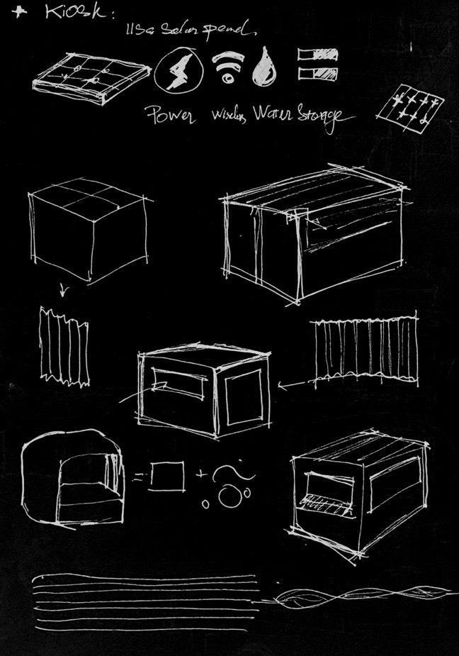
The kiosk – Stall out door
Applying leading technology in coating coating on aluminum zinc alloy, diverse in color, high durability, gives the product outstanding durability, high aesthetics, high quality assurance. Common application: Rolling tile and used for roofing of multi roofed villa style roofs or roofs with steep slopes.

A steel structure is a metal structure which is made of structural steel components connected to each other to carry loads and provide rigidity.
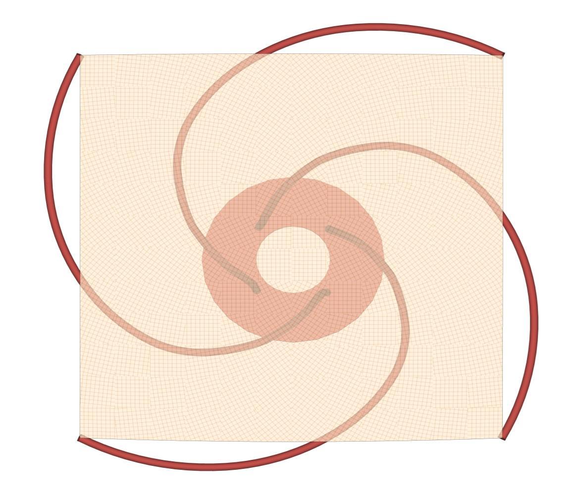
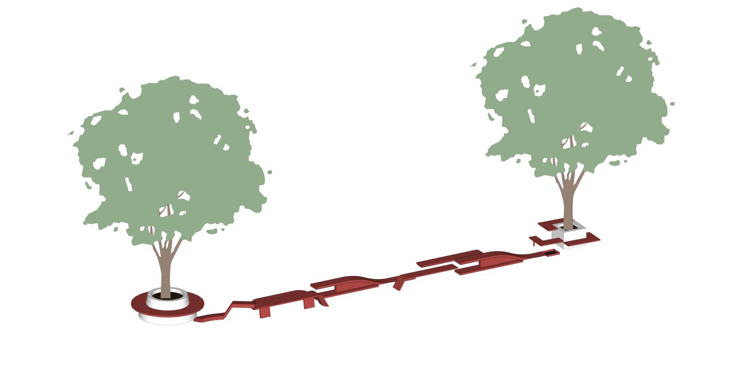
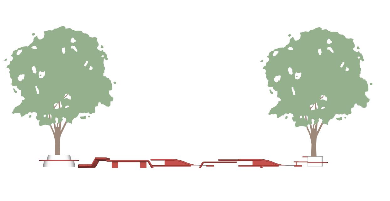
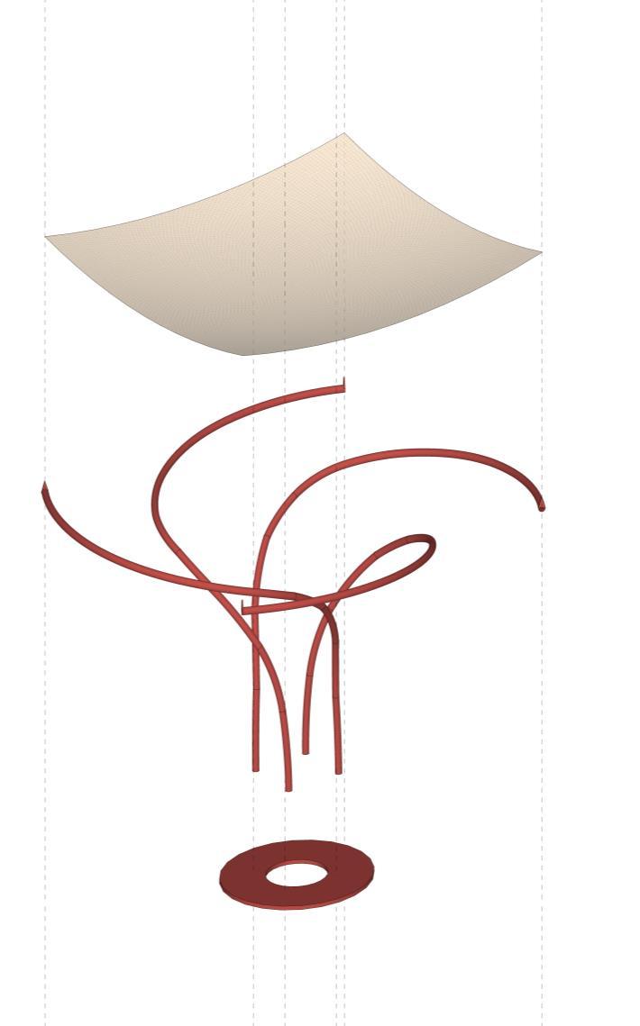
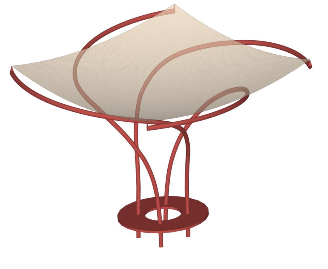
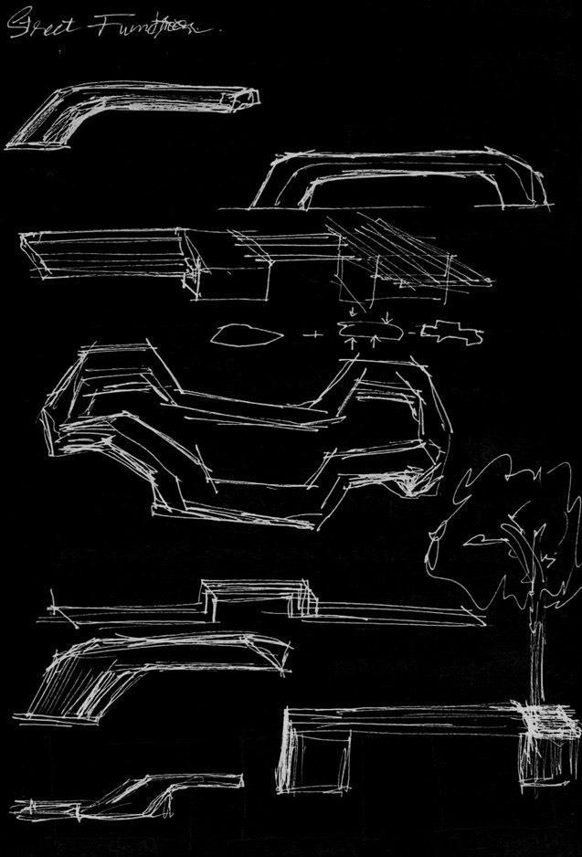
The Public Canopy The Urban Furniture
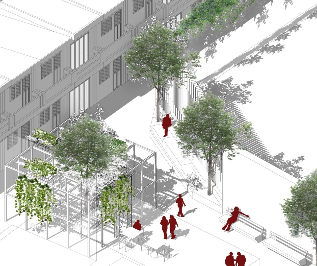
2. Pocket Garden Park
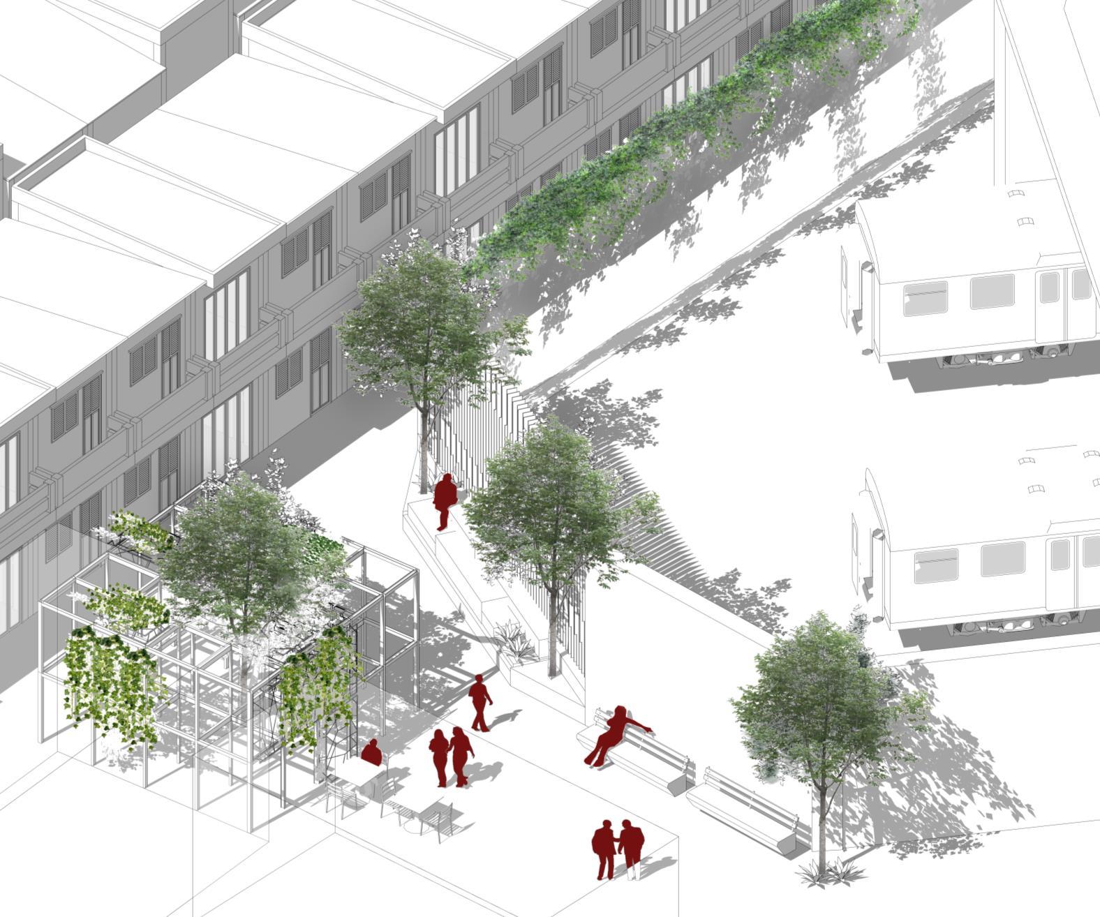
The Pocket Garden Park

Steel is a metal alloy widely used in construction owing to its strength, affordability and hardness. Its various forms consist almost entirely of iron, but also contain the elements carbon, manganese, phosphorous, sulfur, silicon, and sometimes nickel and chromium. Steel takes advantage of the highly stable atomic lattice structure of iron, with an important twist
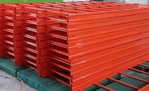
There are three different methods for design of steel structure, i.e. simple design, continuous design and semi continuous steel design. Joints in structures have been assumed to behave as either pinned or rigid to render design calculations manageable. In simple design the joints are idealised as perfect pins

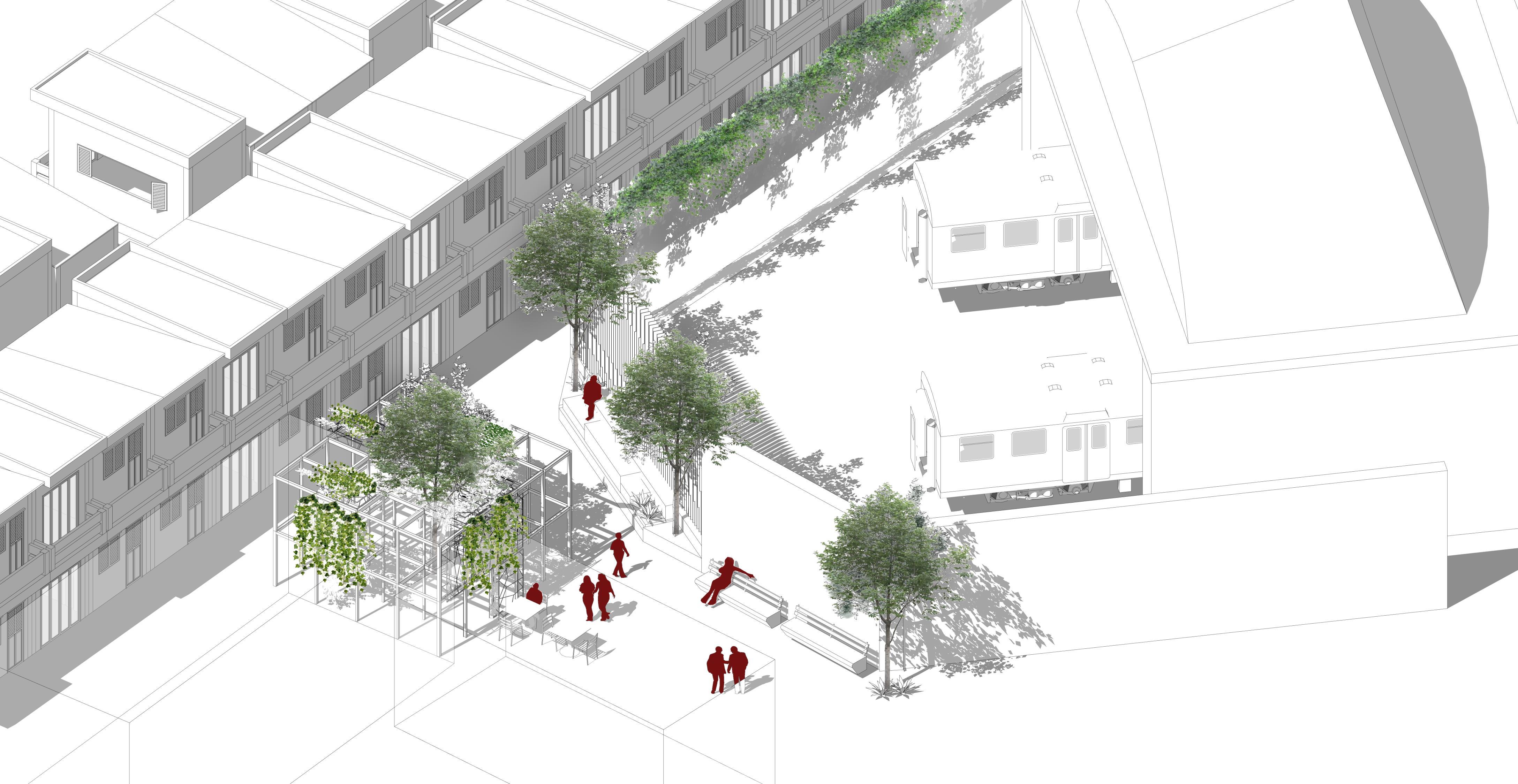

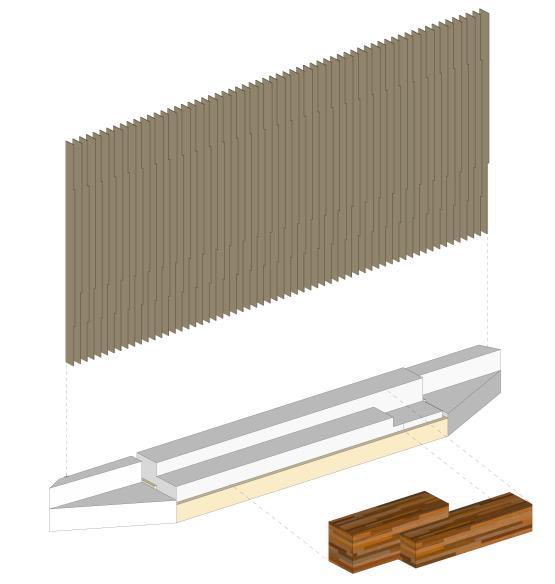
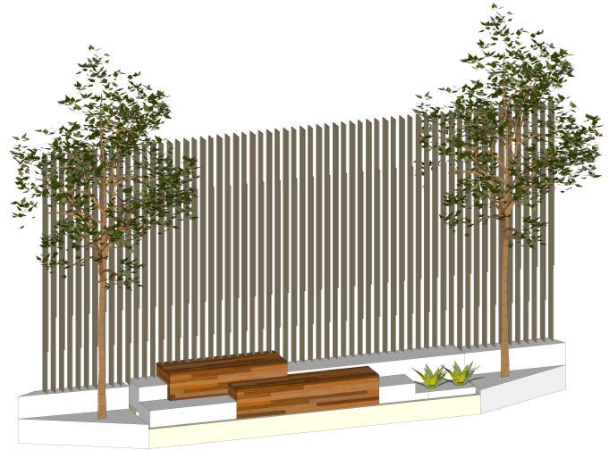
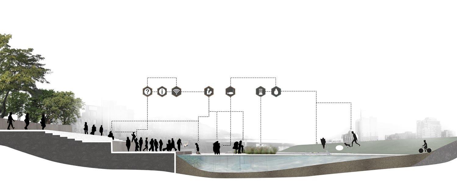
3. Interactive Linear
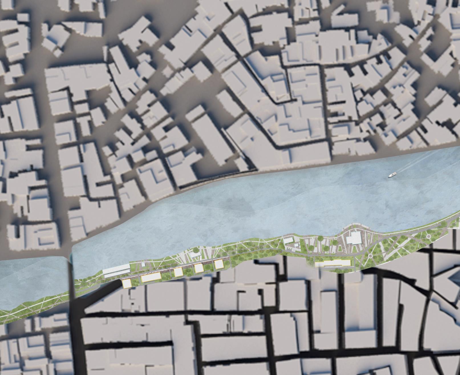

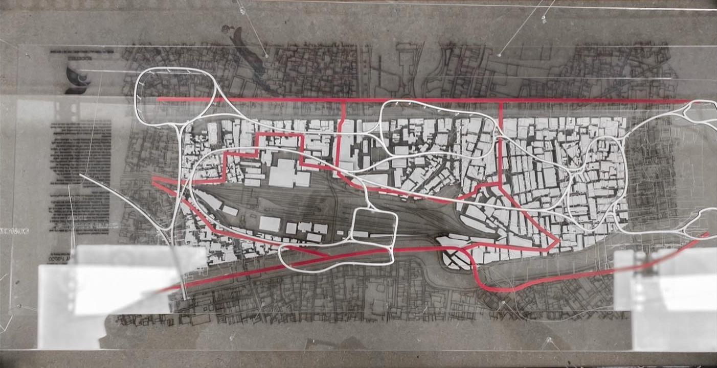
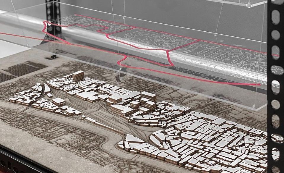
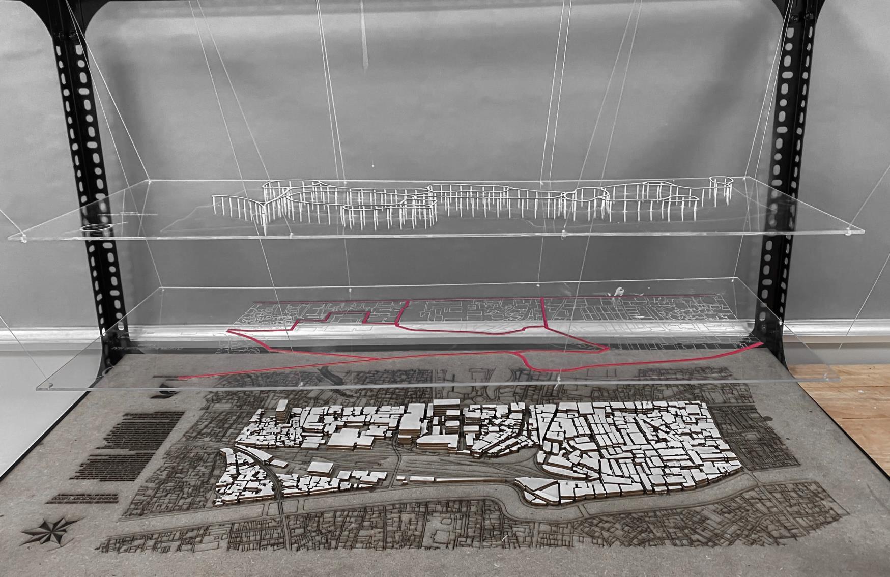
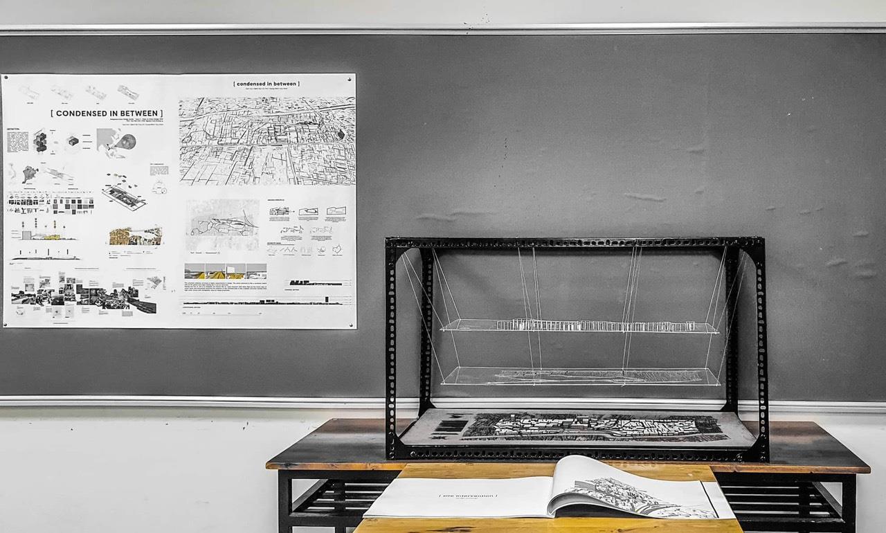
THE MODEL
