2 minute read
Wolf Creek Loop Trail Offers Vistas & Respite
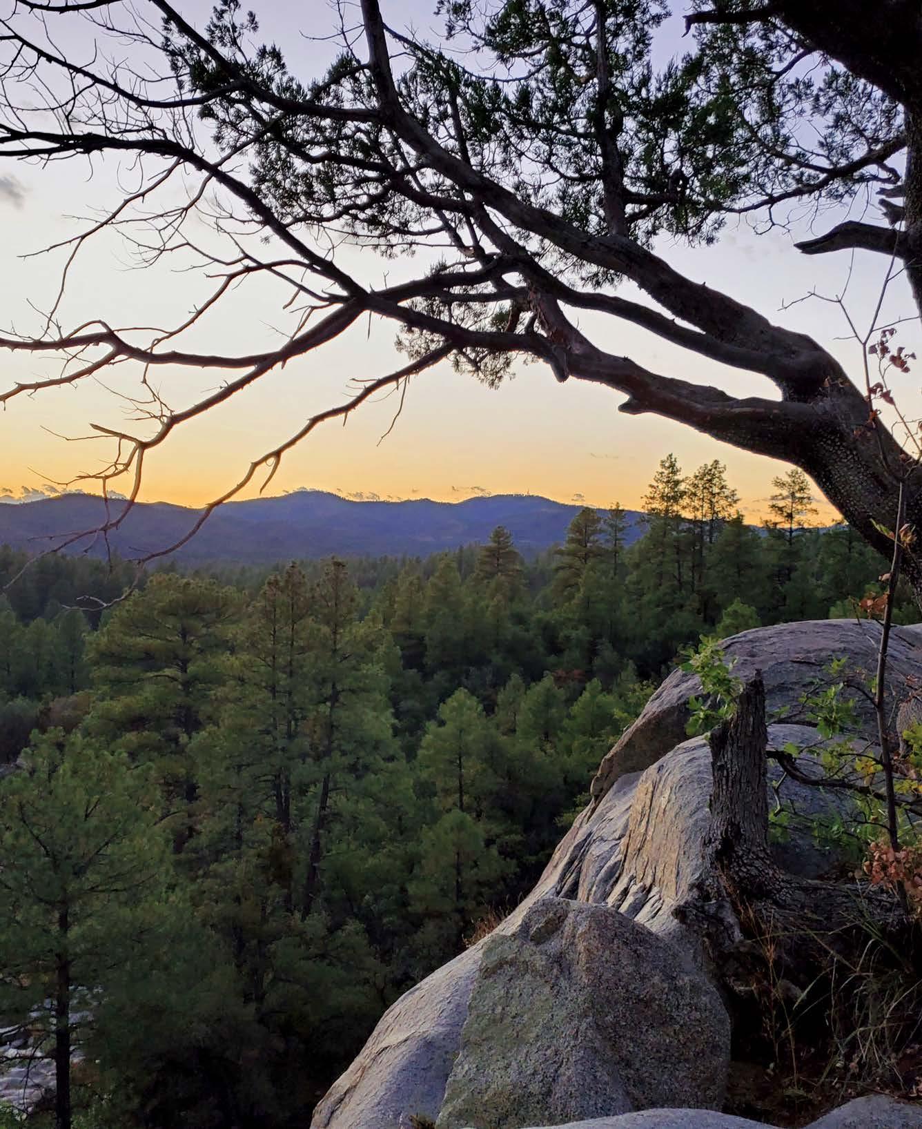
The Wolf Creek Loop takes users on a lovely circular path through the lush riparian beauty of the Upper Hassayampa River basin. Mount Tritle to the south and Maverick Mountain to the southwest punctuate the backdrop as you pass the pines, oaks and boulders that make this a quintessentially Prescottonian stroll.
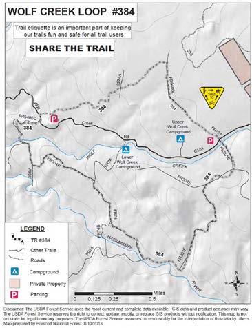
Traveling either clockwise or counterclockwise will take you through forested areas home to deer, squirrels, frogs, multiple avian species and other wildlife. The trail starts near Wolf Creek, then meets it again about halfway through, whichever way you head.
If you head clockwise on the trail from the parking area near Wolf Creek Road, you quickly cross back over the dirt road and descend toward the Hassayampa’s riverbed in the first of many trees you’ll see. The trail is a virtual arboretum, with a mix of ponderosa and pinon pines, oaks, alligator juniper, manzanita and walnut trees.
When you pass the river it may or may not have flowing water or at least pools bubbling up from underground, where the river is located for most of its desert journey. It’s accessible by a couple of short detours, and you’ll always find lush vegetation there to enjoy.
Continue on for another mile and a half to reach another detour that requires a little scrambling over rocks, but you’ll eventually reach the first of three waterfalls, which may be dry or have just a trickle, up to a full-force cascade.
You’ll have your best luck in early spring as the snow melts or after a good summer monsoon storm, though be careful about doing anything that might put you in the path of a flash flood.
Even in drier periods this loop has gorgeous vistas and offers respite within the greenery.
WOLF CREEK LOOP TRAIL NO. 384
The trail is reached by taking Mt. Vernon Street in downtown Prescott south, where it turns into Senator Highway. Go past Goldwater Lake and Groom Creek to just after the pavement ends, then turn right onto County Road 101 (Wolf Creek Road) and proceed to where the road intersects the trail less than half a mile down. Parking is available on the north side of the trail.

Wolf Creek Loop is popular for off-highway vehicles and motorcycles as well as hikers, mountain bikers and horseback riders, so it’s good to know the rules of sharing the trail. Be aware of your surroundings and know that hikers are to yield to horses, while bikes must yield to hikers, and motorized vehicles are to yield to other forms of traffic.
Before you go, check for any fire-related closures or other restrictions that may be in effect for Prescott National Forest by visiting www.fs.usda.gov/prescott or @ PrescottNF on Facebook or Twitter: or by calling the ranger station at 928-443-8000.
Parking fees: None Uses: Hiking, mountain biking, horseback riding, motorcycles, ATVs Distance: 5.5 miles Level of difficulty: Easy to moderate Elevation: 5,670 feet to 5,710 feet


